Elevation of Jones-Franklin Rd, Morristown, TN, USA
Location: United States > Tennessee > Hamblen County > Morristown >
Longitude: -83.221036
Latitude: 36.2433756
Elevation: 391m / 1283feet
Barometric Pressure: 97KPa
Elevation Map:
Satellite Map:
Related Photos:
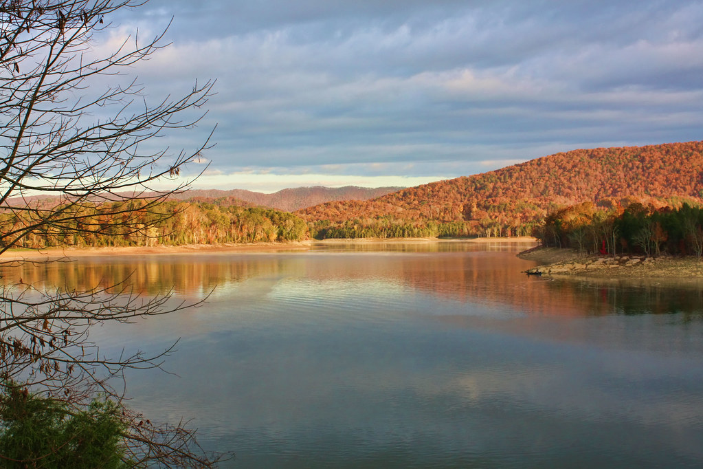
Cherokee Lake
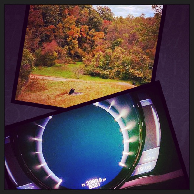
2390 miles later.. The eastbound leg of #roadtrip2014 has come to an end. And I am greeted with an awesome view from the deck of my family friends place.

Hag Moth Caterpillar side view

Hamblen County, TN Courthouse - Morristown, TN
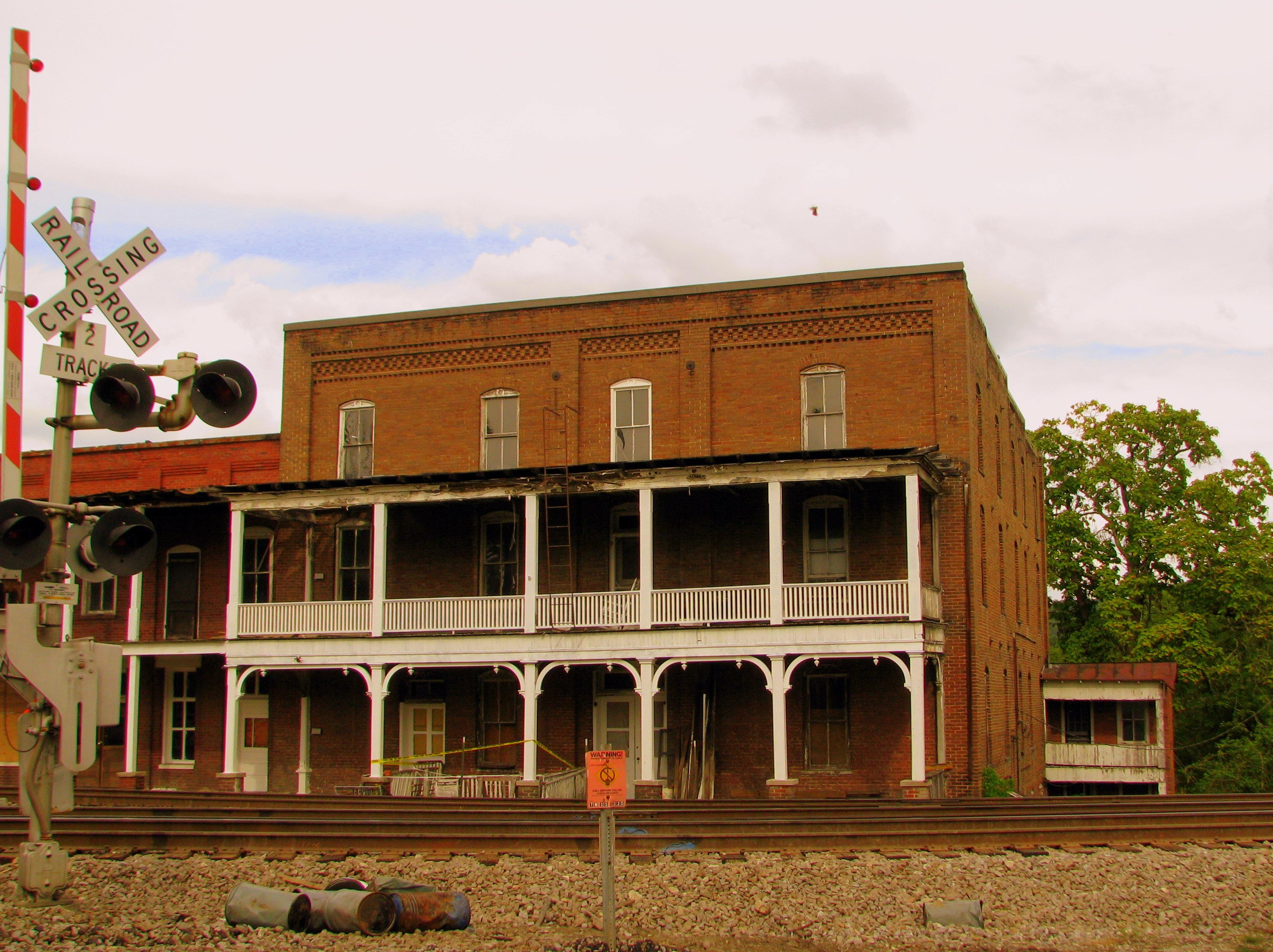
Gilley's Hotel - Bull's Gap, TN
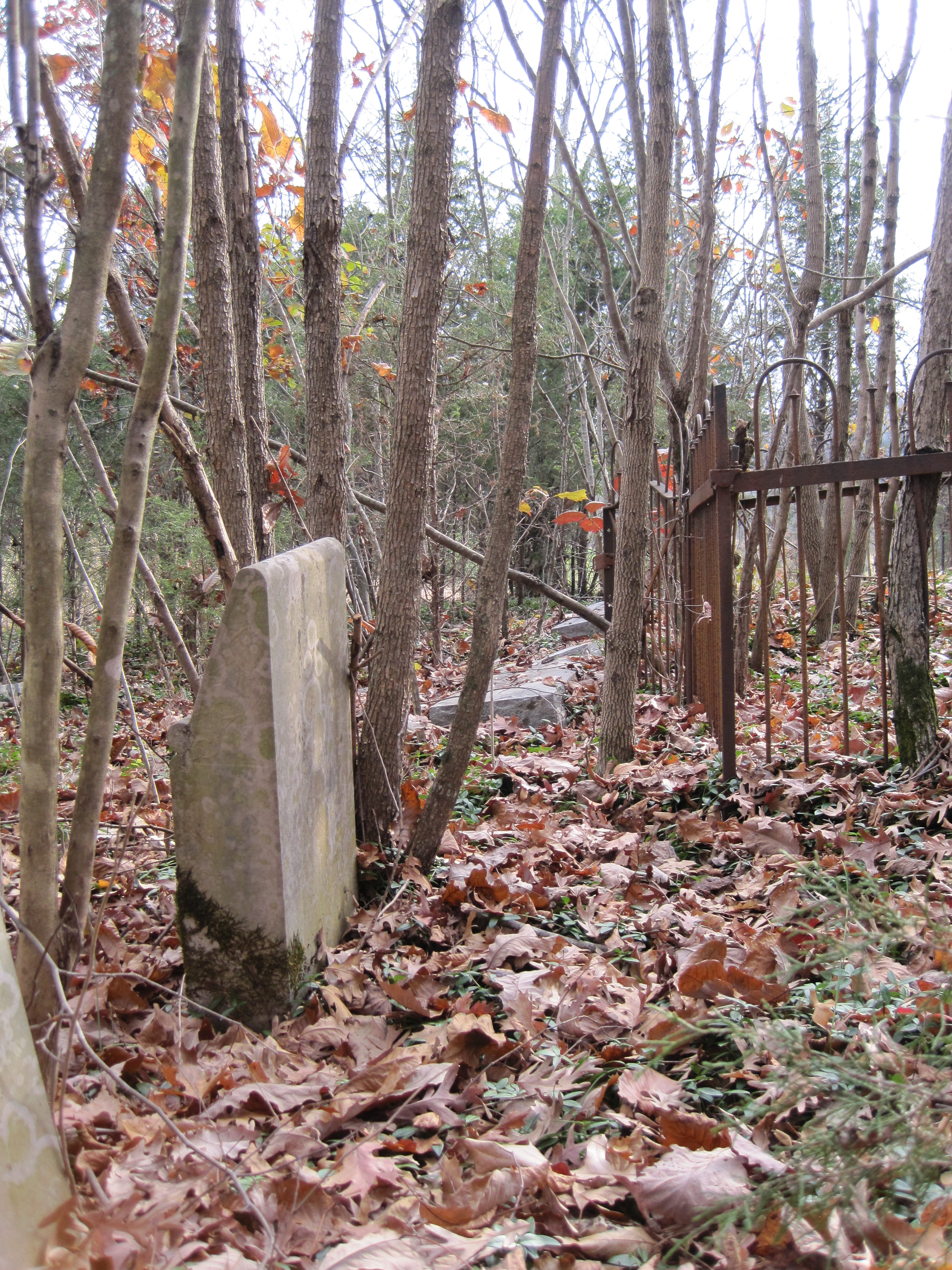
A view near the front of the forgotten cemetery.
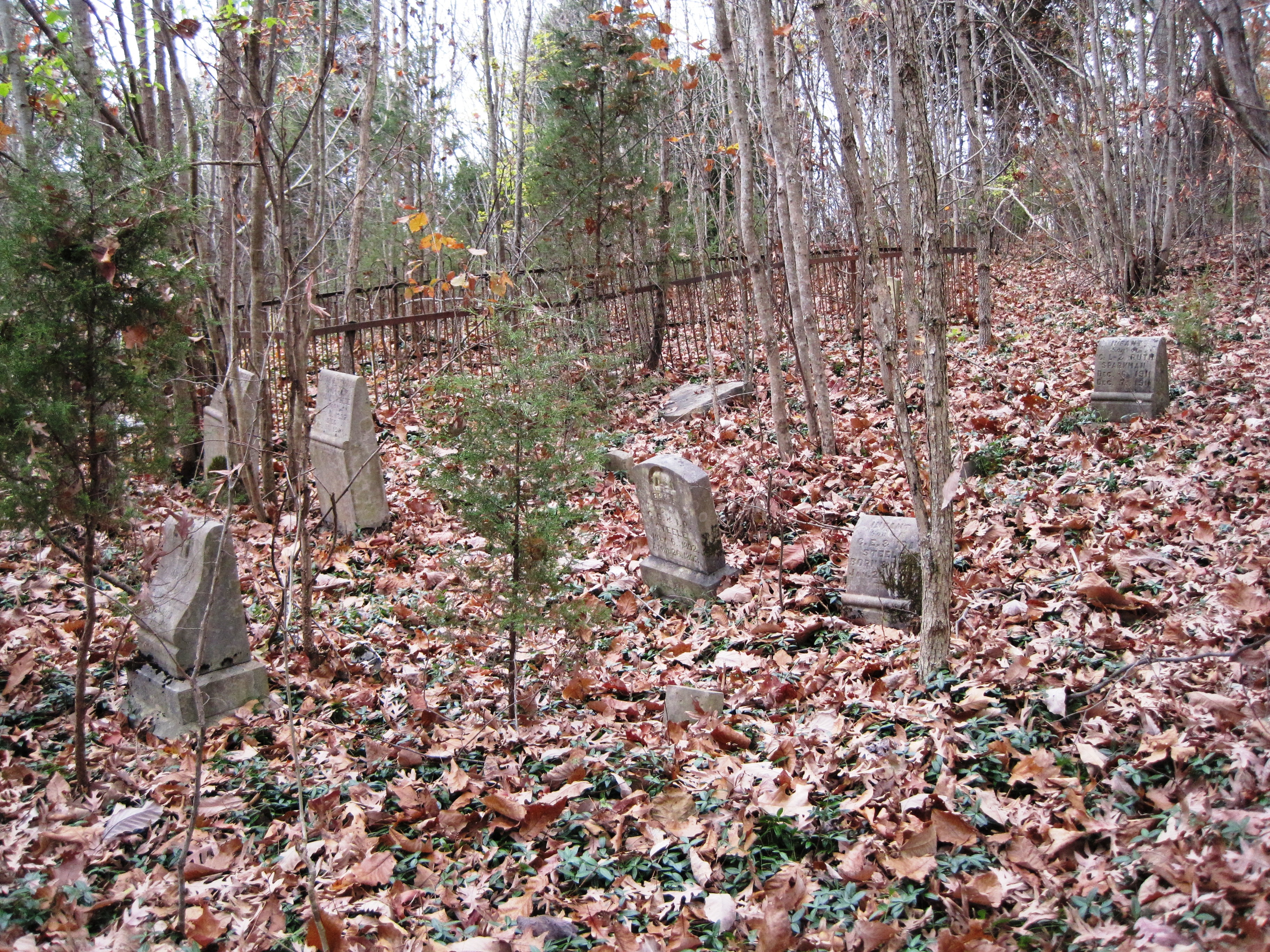
A wide view of marked graves, mostly infants, on Cemetery Ridge.

Panther Creek trail

woods(022)

Lake_Cherokee-223.jpg
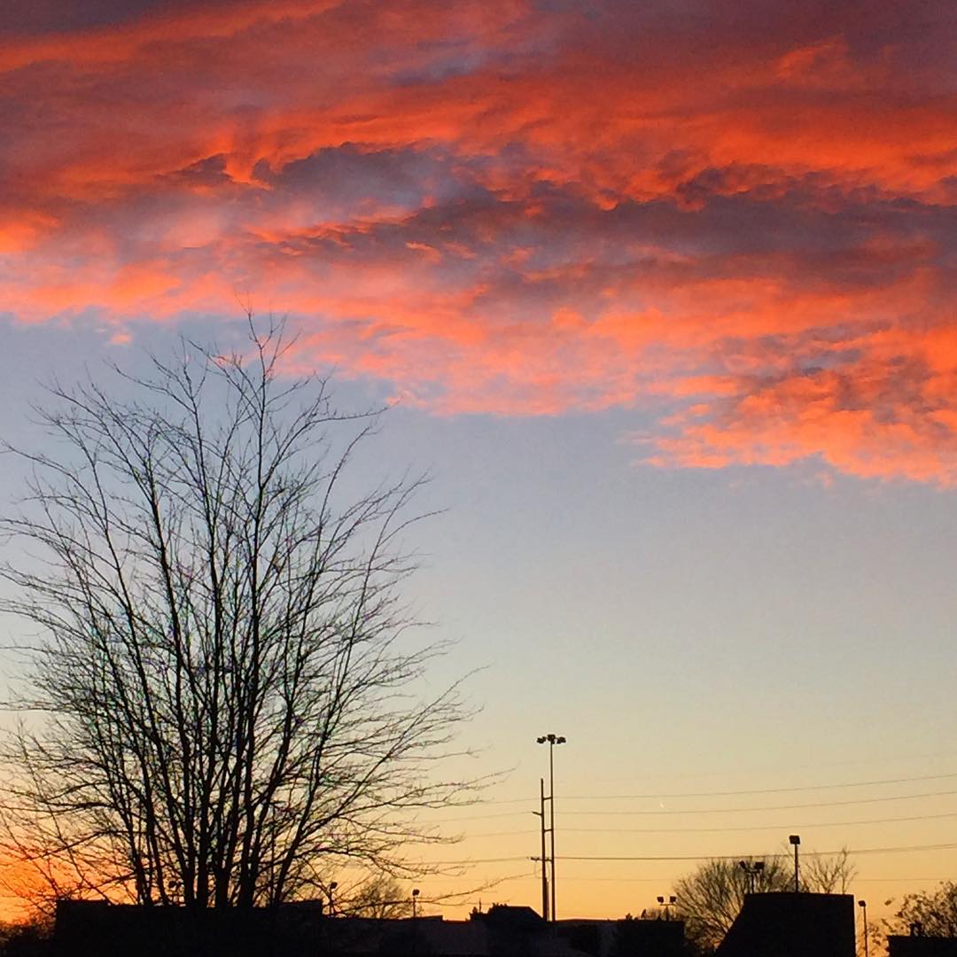
#sunsetlovers #sunsets
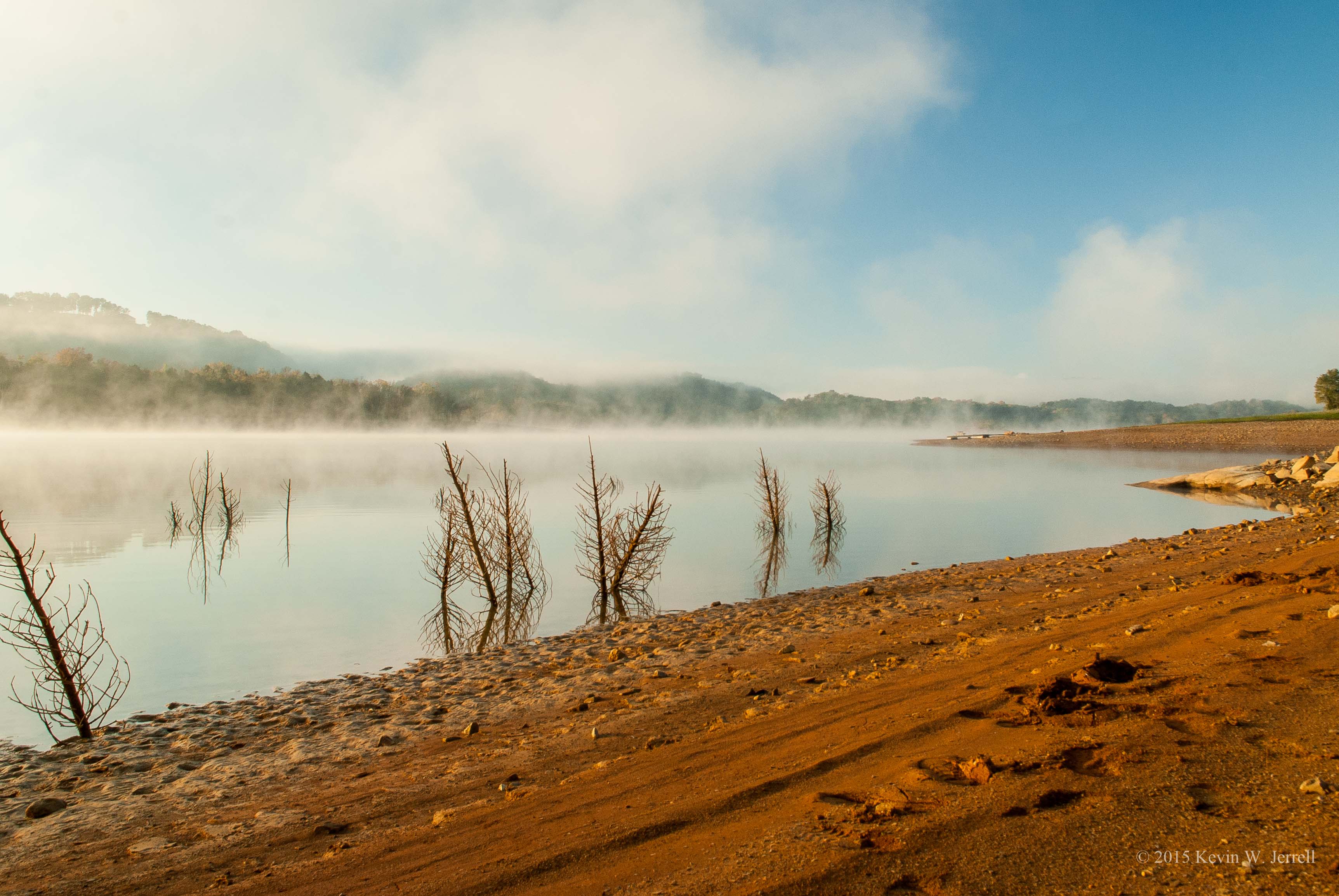
Cherokee Lake In The Fall

Hästar
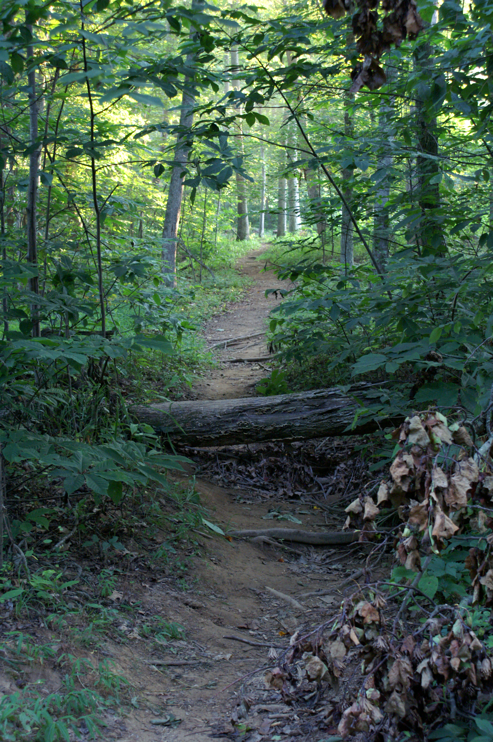
Follow the Path
Wildflowers on Bluff Mountain

Kväll
br-tr6-034
br-tr6-019
br-tr6-031
2014-11-04 14.25.29

br-tr6-019

br-tr6-001
br-tr6-024

br-tr6-034
2014-11-04 14.26.49
br-tr6-020
br-tr6-025
Topographic Map of Jones-Franklin Rd, Morristown, TN, USA
Find elevation by address:

Places near Jones-Franklin Rd, Morristown, TN, USA:
Jones-franklin Road
E Andrew Johnson Hwy, Russellville, TN, USA
Industrial Avenue
Brockland Drive
2644 Plantation Dr
Russellville
4226 Scarlett Oak Dr
6548 Lainey Jane Ct
6324 Talley Chapel Pike
6590 Lainey Jane Ct
321 Wilder St
1781 Old Liberty Hill Rd
Pritchard Drive
722 Pritchard Dr
Silver City Rd, Russellville, TN, USA
2532 Buffalo Trail
Carriger Street
Morristown
1278 Silver City Rd
511 W 2nd N St
Recent Searches:
- Elevation of Congressional Dr, Stevensville, MD, USA
- Elevation of Bellview Rd, McLean, VA, USA
- Elevation of Stage Island Rd, Chatham, MA, USA
- Elevation of Shibuya Scramble Crossing, 21 Udagawacho, Shibuya City, Tokyo -, Japan
- Elevation of Jadagoniai, Kaunas District Municipality, Lithuania
- Elevation of Pagonija rock, Kranto 7-oji g. 8"N, Kaunas, Lithuania
- Elevation of Co Rd 87, Jamestown, CO, USA
- Elevation of Tenjo, Cundinamarca, Colombia
- Elevation of Côte-des-Neiges, Montreal, QC H4A 3J6, Canada
- Elevation of Bobcat Dr, Helena, MT, USA