Elevation of Johnson, VT, USA
Location: United States > Vermont > Lamoille County >
Longitude: -72.680360
Latitude: 44.6355825
Elevation: 153m / 502feet
Barometric Pressure: 99KPa
Elevation Map:
Satellite Map:
Related Photos:

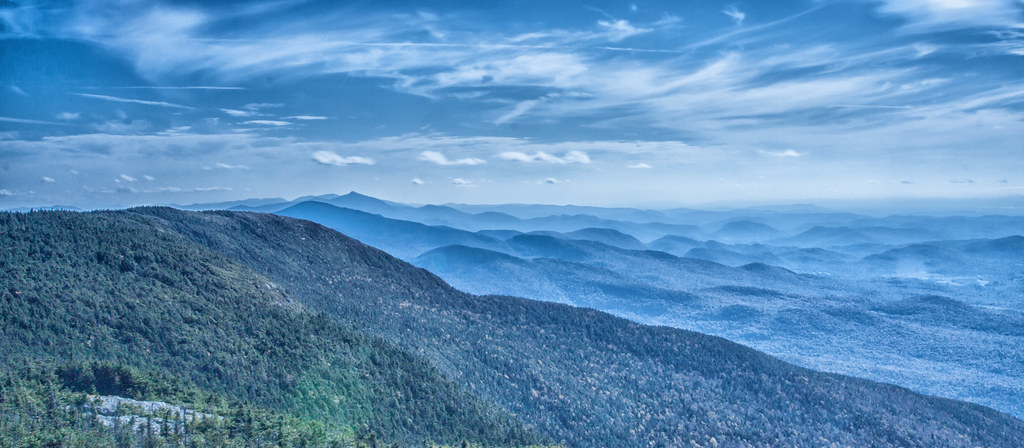
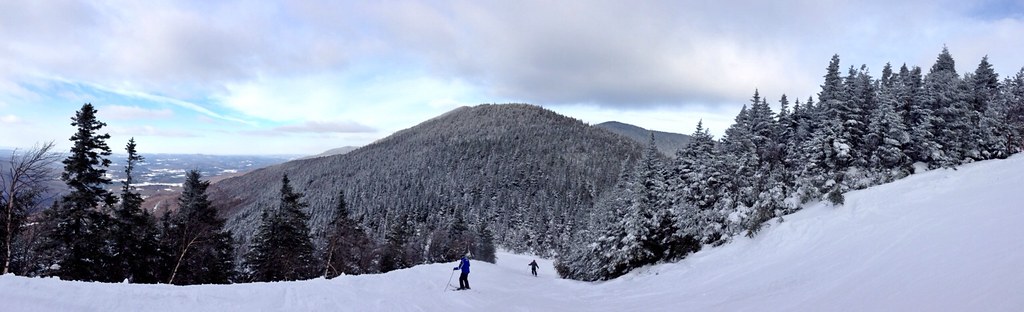
Sunset Ridge 1
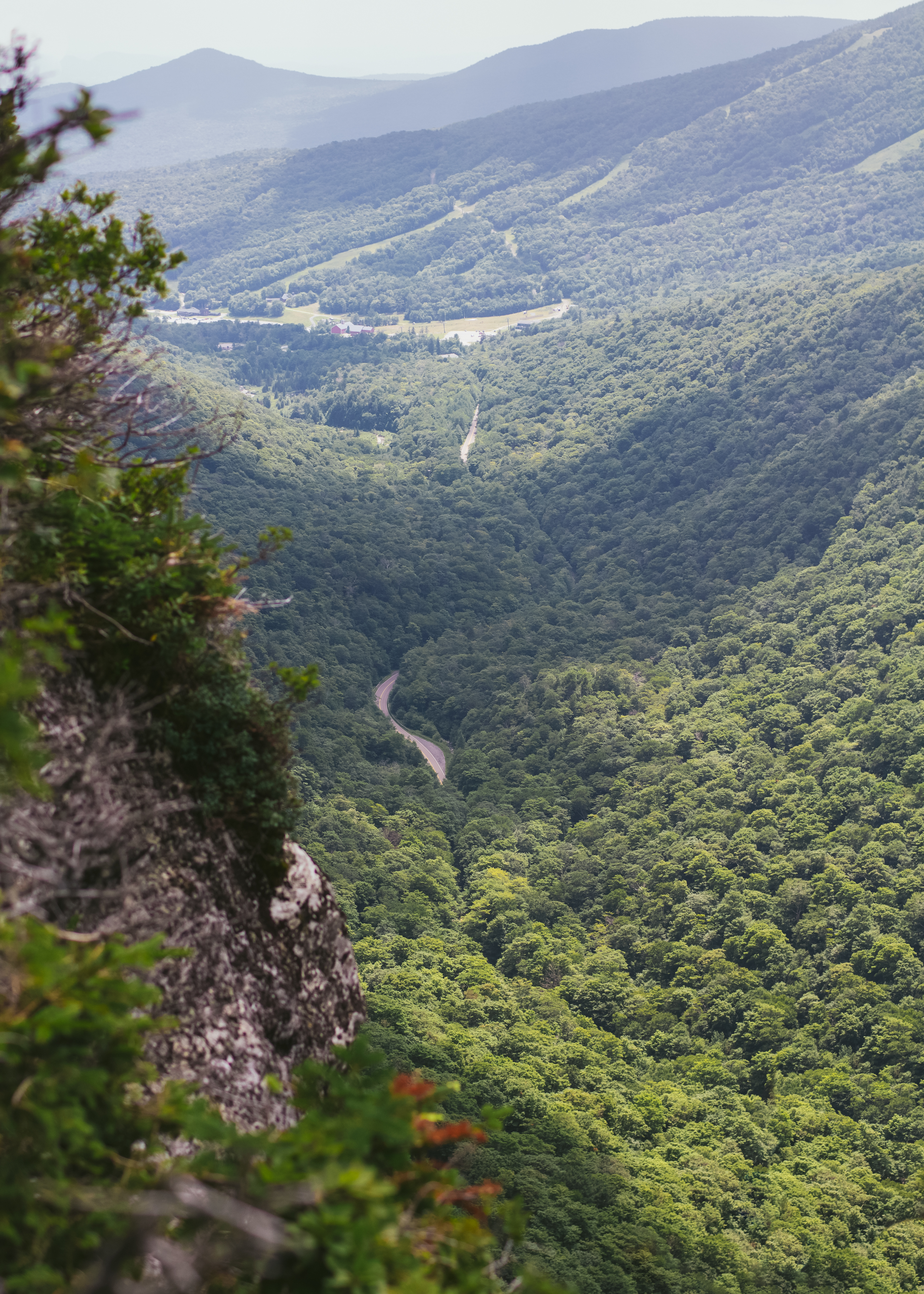
View from the Long Trail
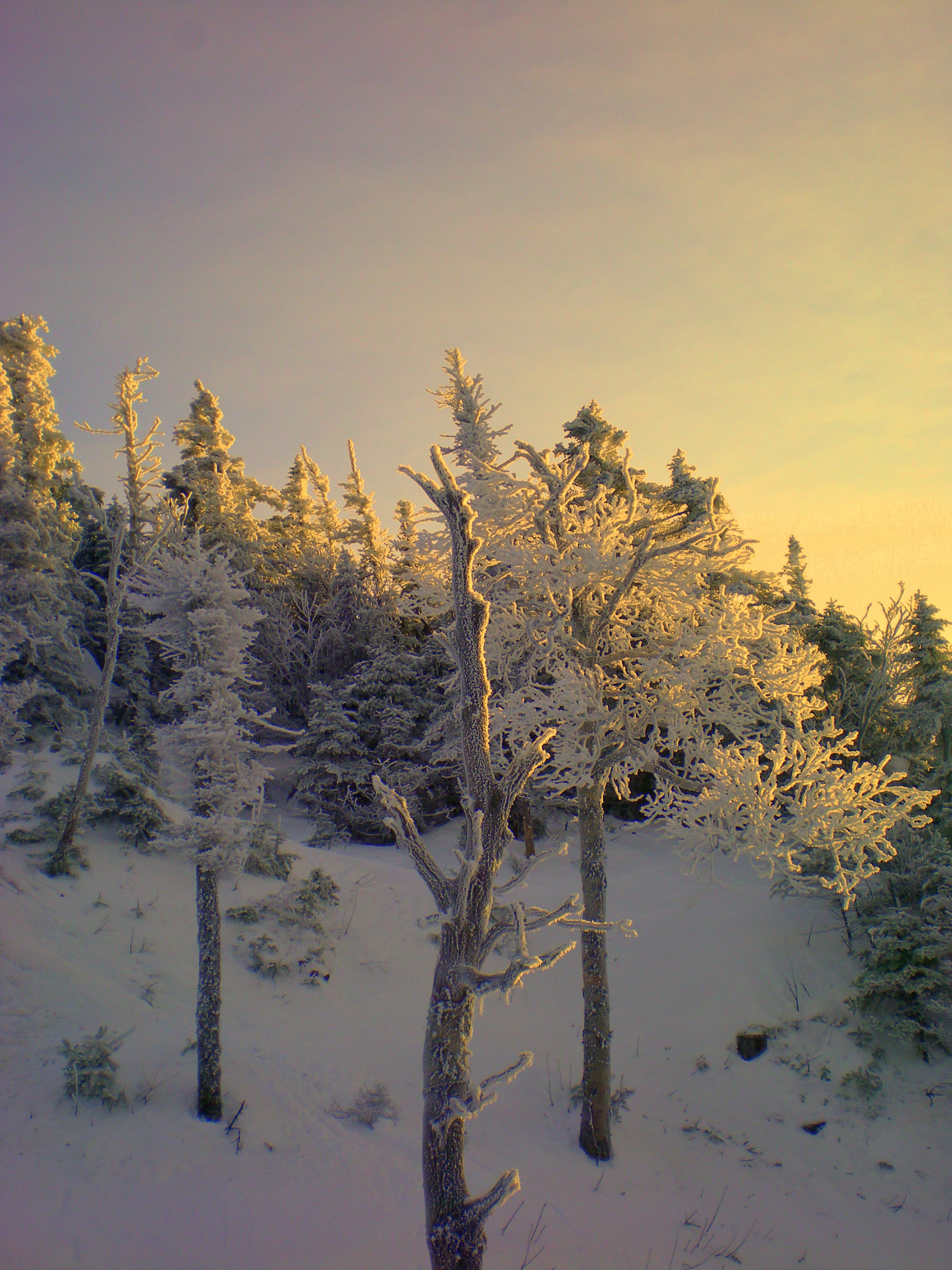
view from the chair, icy trees

I have morning, @greenmtncoffee , QUIET and a balcony with this view. #yourperfectcup
Elephant's Head Cliff Lookout
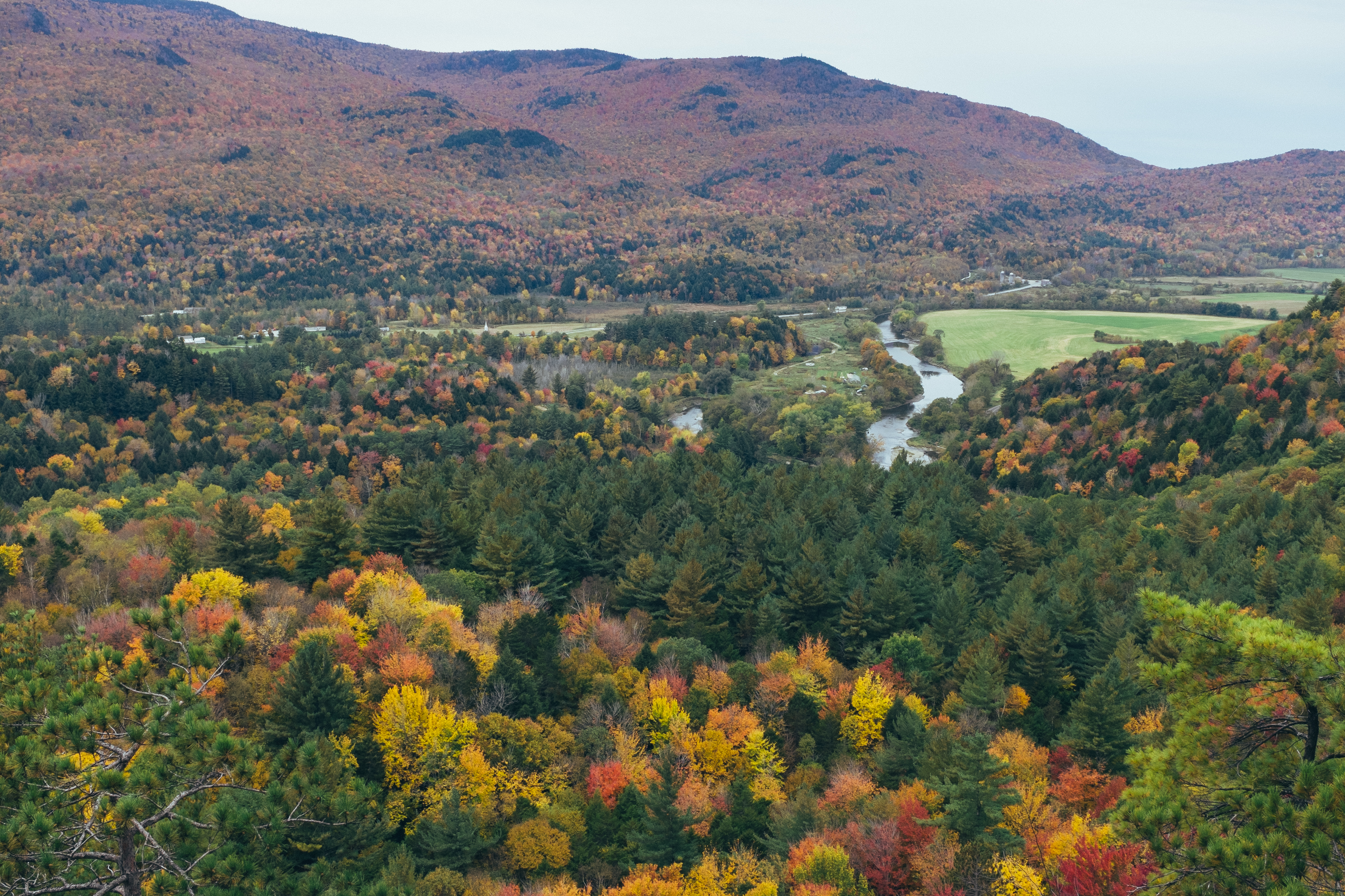
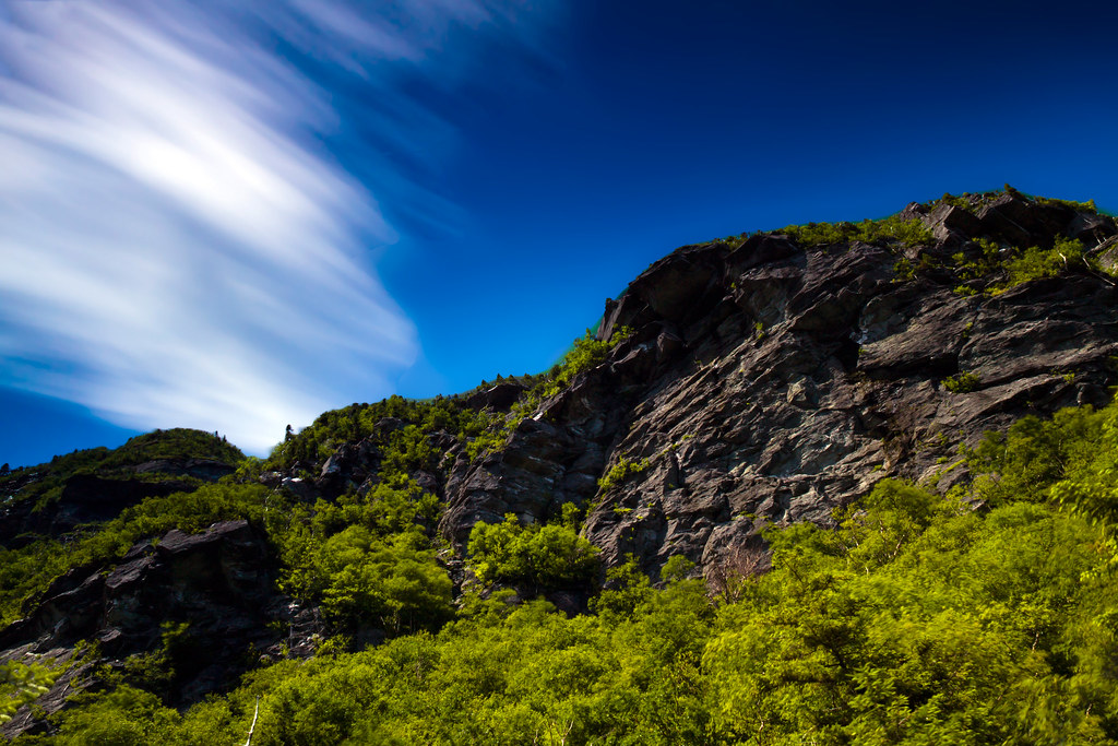
Hills of Vermont
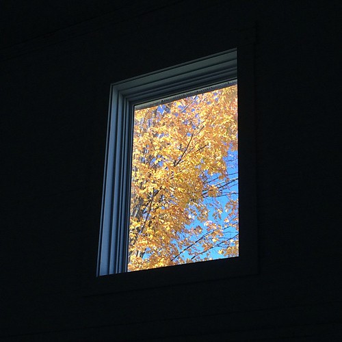
Omni Autumn
Prospect Rock
A Side-View of the Grist Mill Covered Bridge, Green Mountains, Vermont (VT) (DSH_5400-01)

View of Studio Jan 2012 - Med & Lg pattern paintings

Champlain View
Cool Dawn, Green Mountains in Blue (DSH_5593)
Upper Chilcoot View
Studio view
Mount Mansfield 4,393 Ft. #21

View from the top of the Stowe Gondola

View of Ski Area
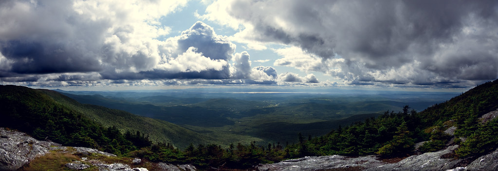
Out On Top
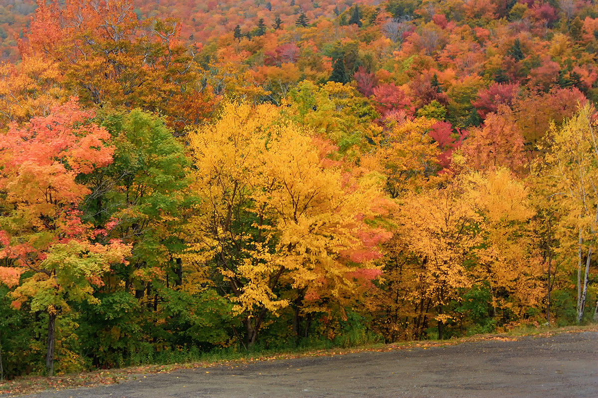
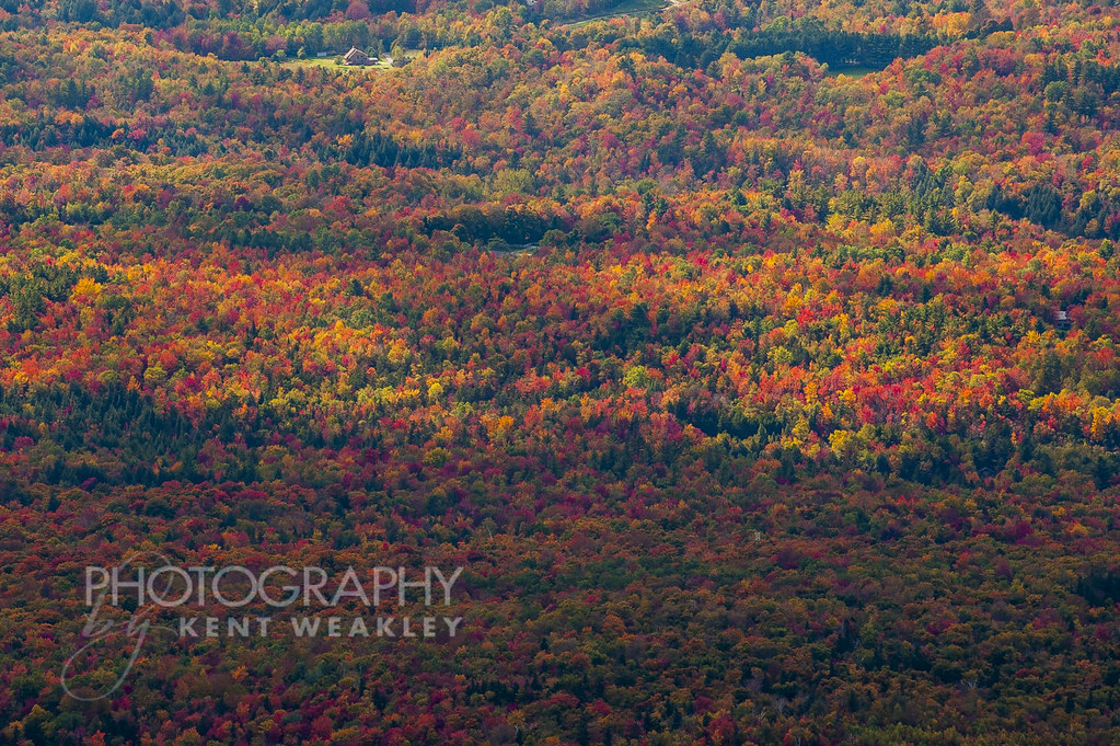
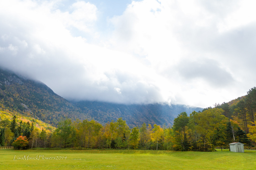
Vermont Fall Foliage 6
View are spectacular in Vermont. Old train bridge in the path #outforawalk #vt #vtphoto #vermont #vermontbyvermonters #greenmountainstate #instagood #photooftheday #igvermont #ignewengland #cloudporn #cloudscape #beautiful #blueskies

Brewster River Gorge
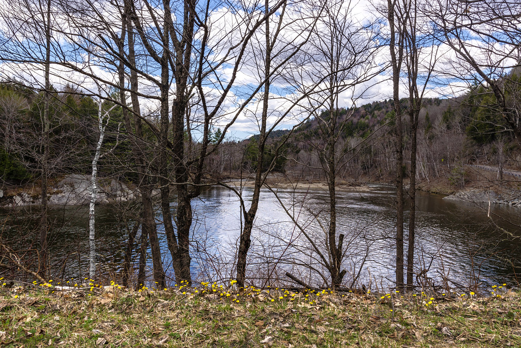
Vermont Pond

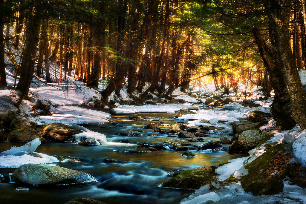
A Brook at Smuggler's Notch
I can see my house from here

Autumnal Road
The very essence of romance is uncertainty...

Notch Beaver Pond 1

Bingham Falls

Chin of the Clouds
january blues
Vermont - Stowe

Sunset over Green Mountains from Rumrunners' Hideaway (DSH_5288)

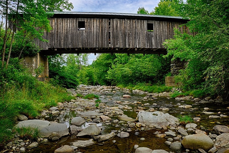
Grist Mill Bridge - Jeffersonville, VT

More Hay Bales
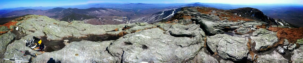
Panorama of Mount Mansfield and surrounding landscape
Spruce Peak
20141005-IMG_0136
Smugglers Notch
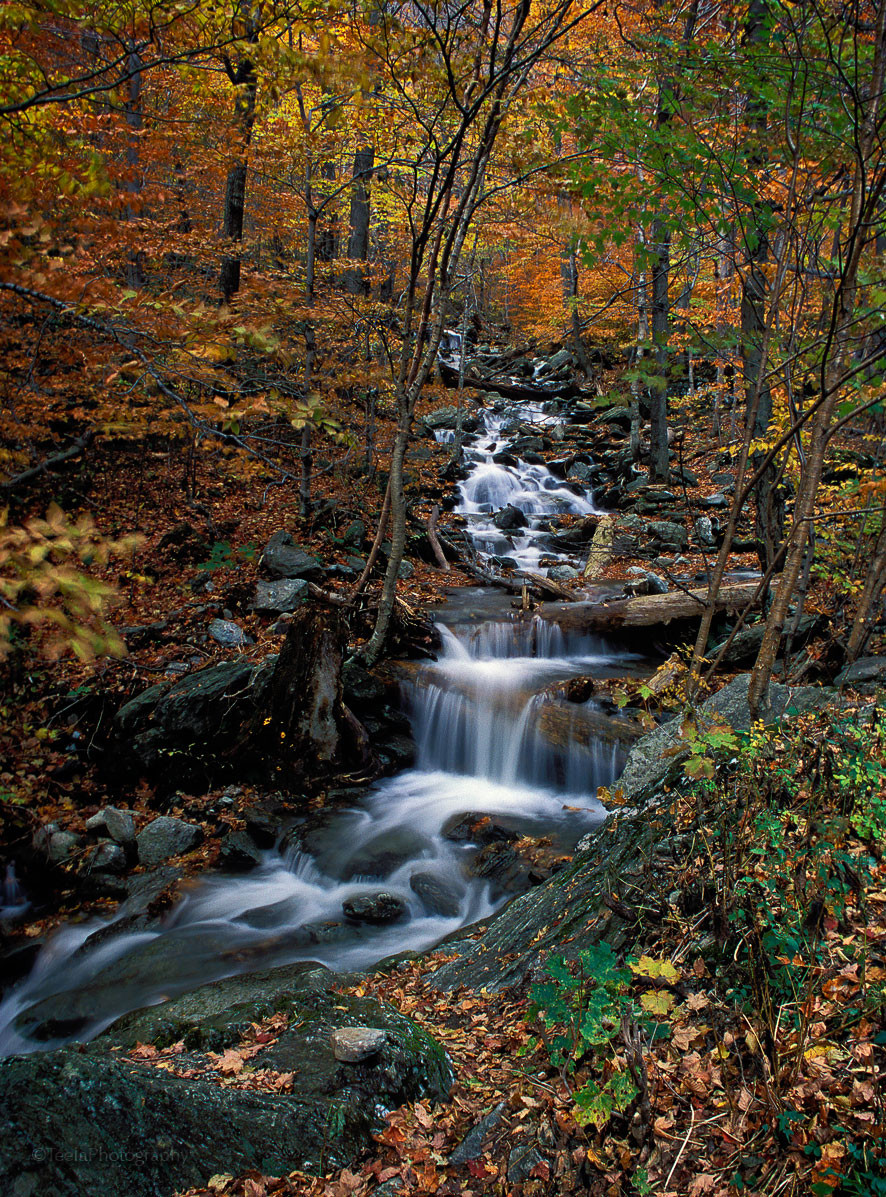
Magical River

The Claw and Lake of the Clouds
Topographic Map of Johnson, VT, USA
Find elevation by address:

Places in Johnson, VT, USA:
Places near Johnson, VT, USA:
Johnson
138 Clay Hill Rd
347 Lower Main St W
Northern Vermont University - Johnson
14 Log Cabin Ln
39 Log Cabin Ln
1077 Vt-100c
1828 River Rd E
4509 Hog Back Rd
Maple Hill Road
443 Grow Rd
509 Grow Rd
3258 Upper French Hill Rd
Lamoille County
Maplewood Drive
Mason Road
145 Mason Rd
Whitcomb Island Road
Battle Row Road
1180 Barnes Rd
Recent Searches:
- Elevation of Corso Fratelli Cairoli, 35, Macerata MC, Italy
- Elevation of Tallevast Rd, Sarasota, FL, USA
- Elevation of 4th St E, Sonoma, CA, USA
- Elevation of Black Hollow Rd, Pennsdale, PA, USA
- Elevation of Oakland Ave, Williamsport, PA, USA
- Elevation of Pedrógão Grande, Portugal
- Elevation of Klee Dr, Martinsburg, WV, USA
- Elevation of Via Roma, Pieranica CR, Italy
- Elevation of Tavkvetili Mountain, Georgia
- Elevation of Hartfords Bluff Cir, Mt Pleasant, SC, USA