Elevation of Johnson Township, MO, USA
Location: United States > Missouri > Carter County >
Longitude: -90.772297
Latitude: 36.8870966
Elevation: 224m / 735feet
Barometric Pressure: 99KPa
Elevation Map:
Satellite Map:
Related Photos:
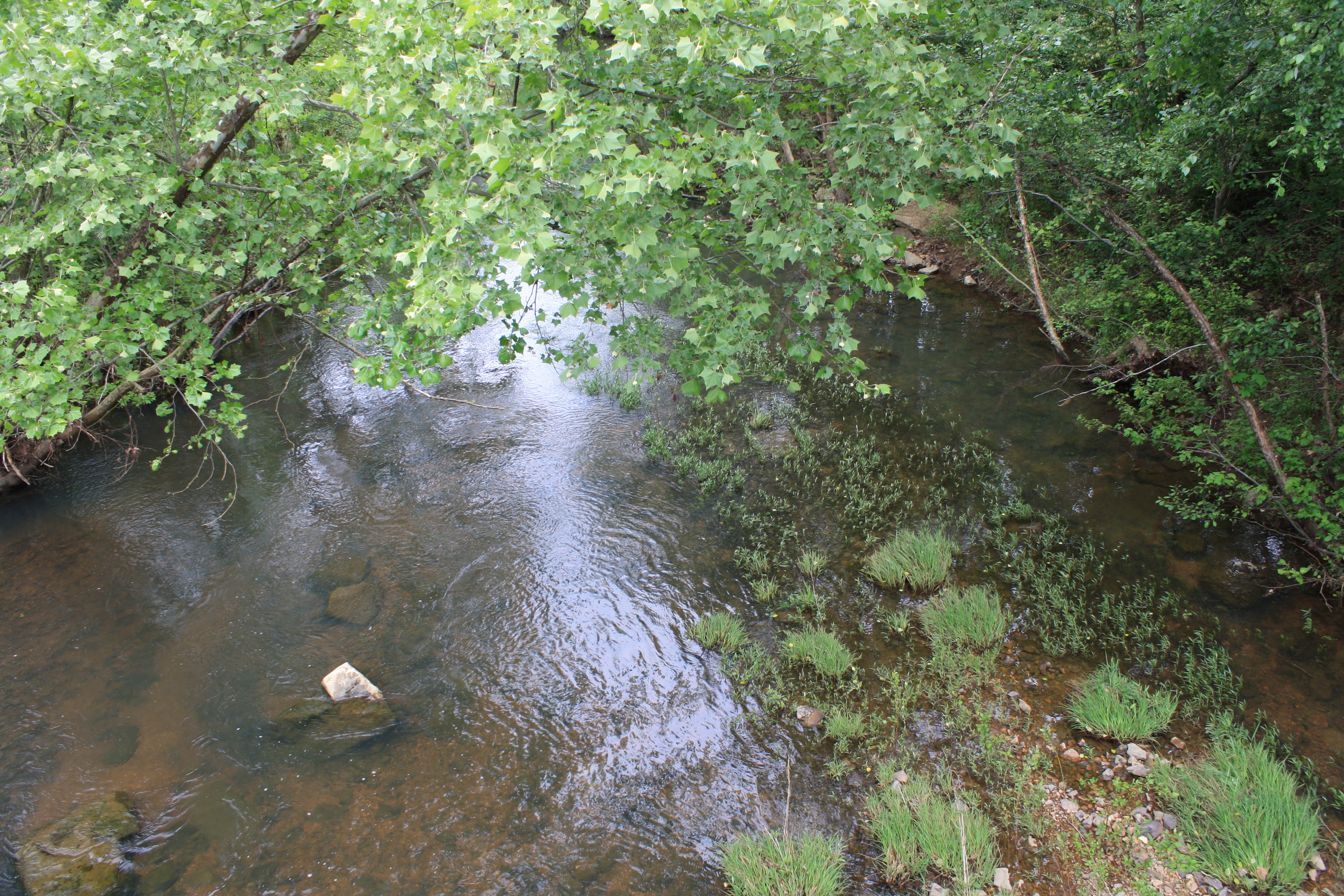
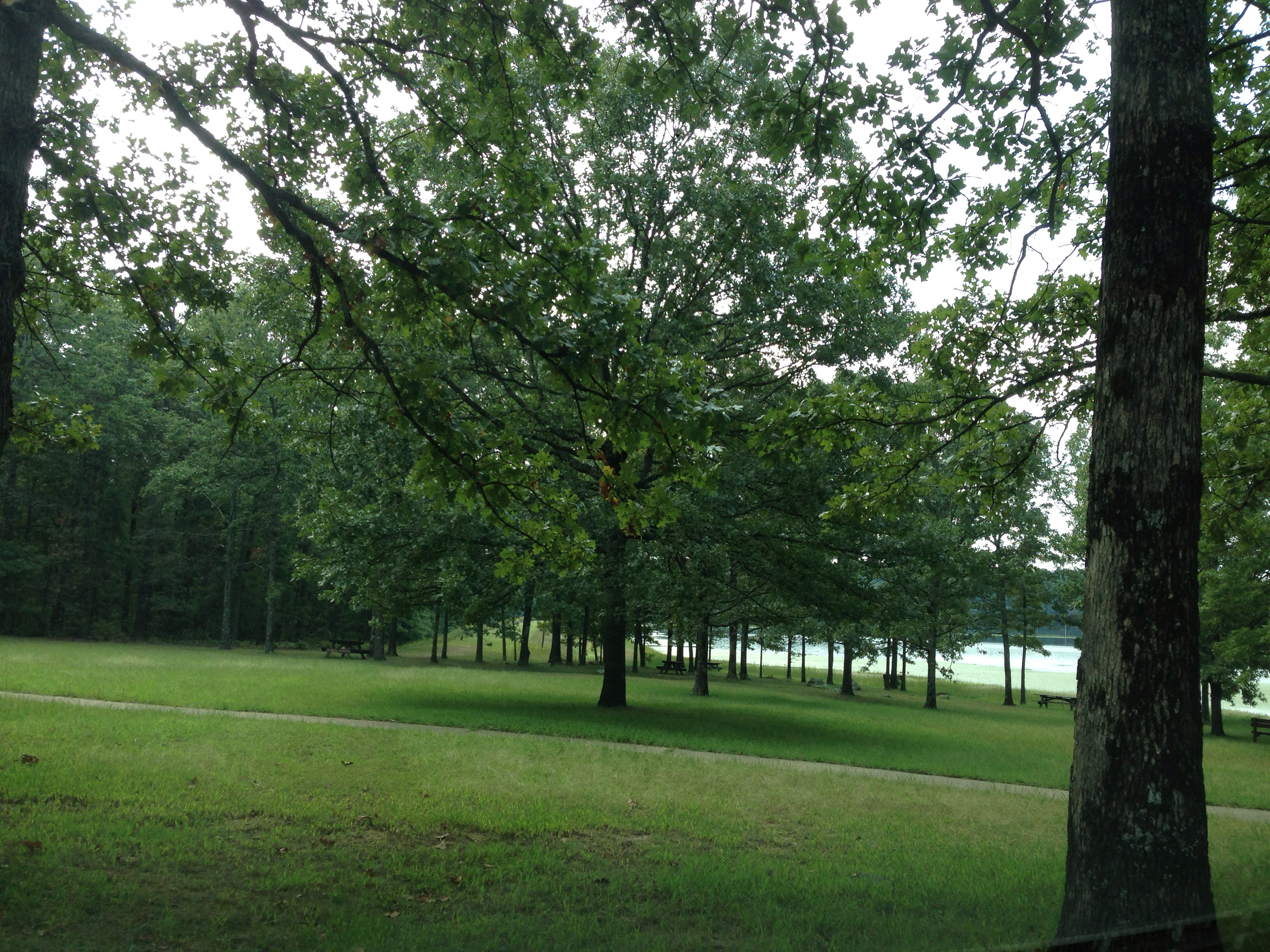
Ten Mile Creek
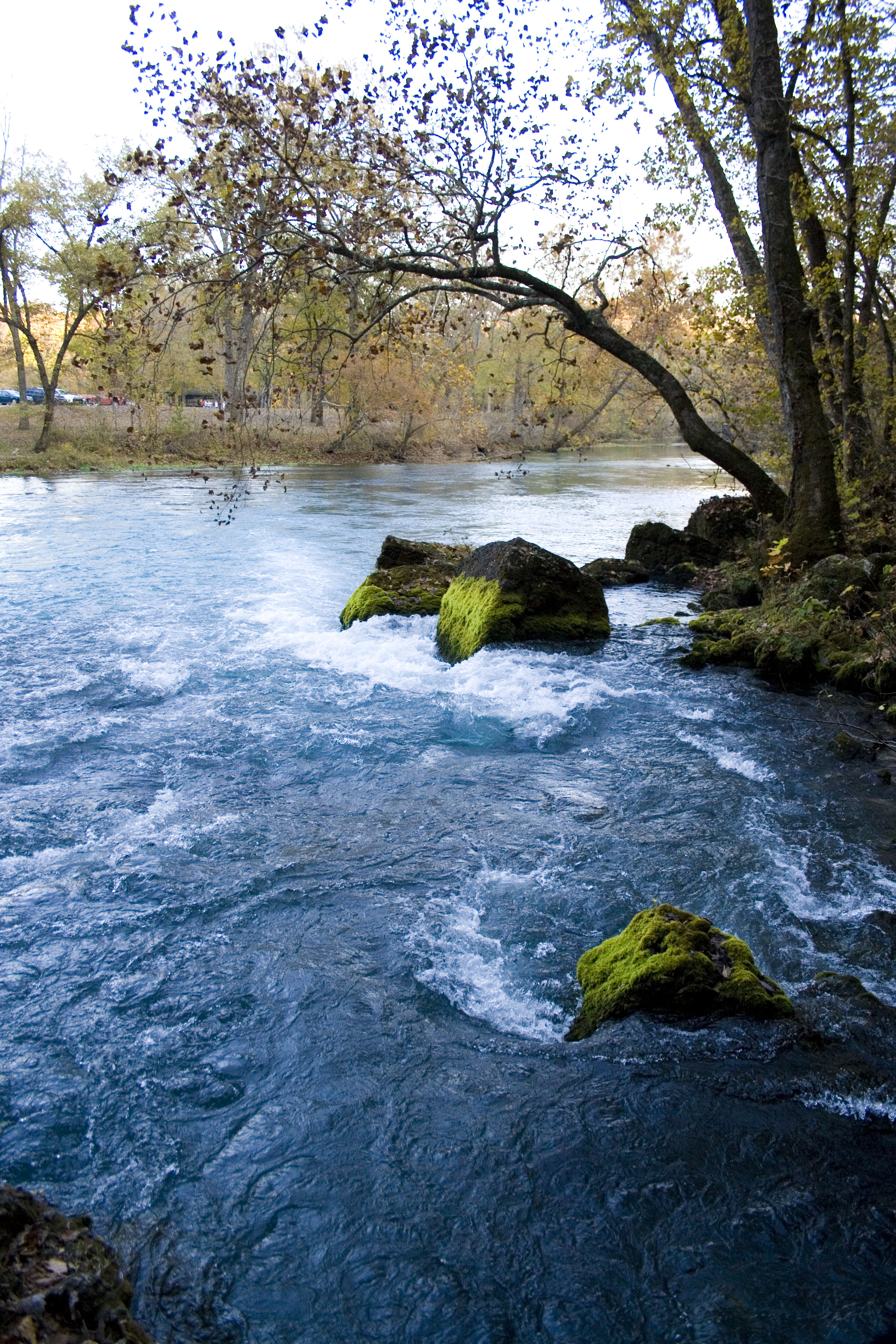
Big Springs

Dandy about to lose its Lion
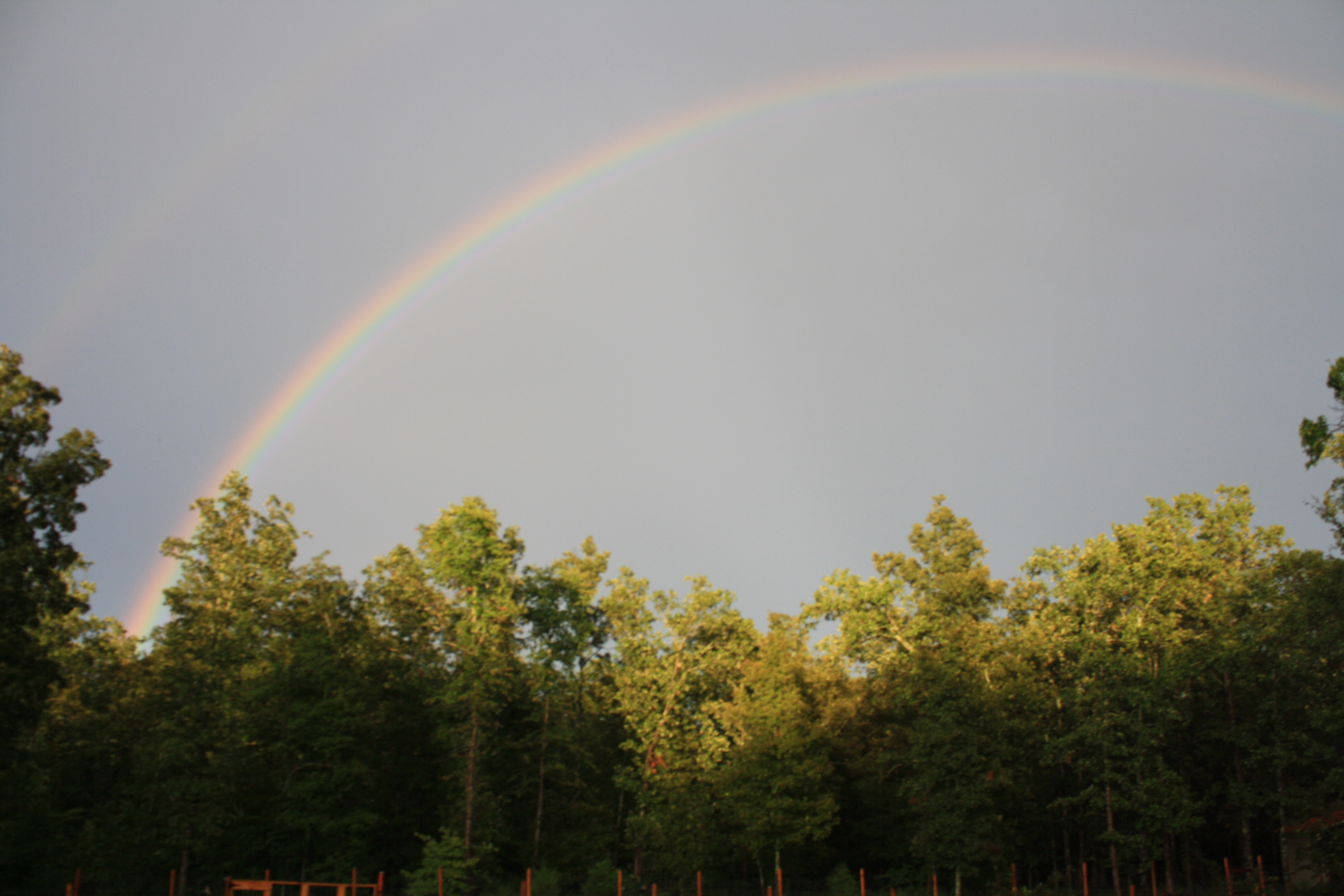
Double Rainbow
Ten-Mile Creek
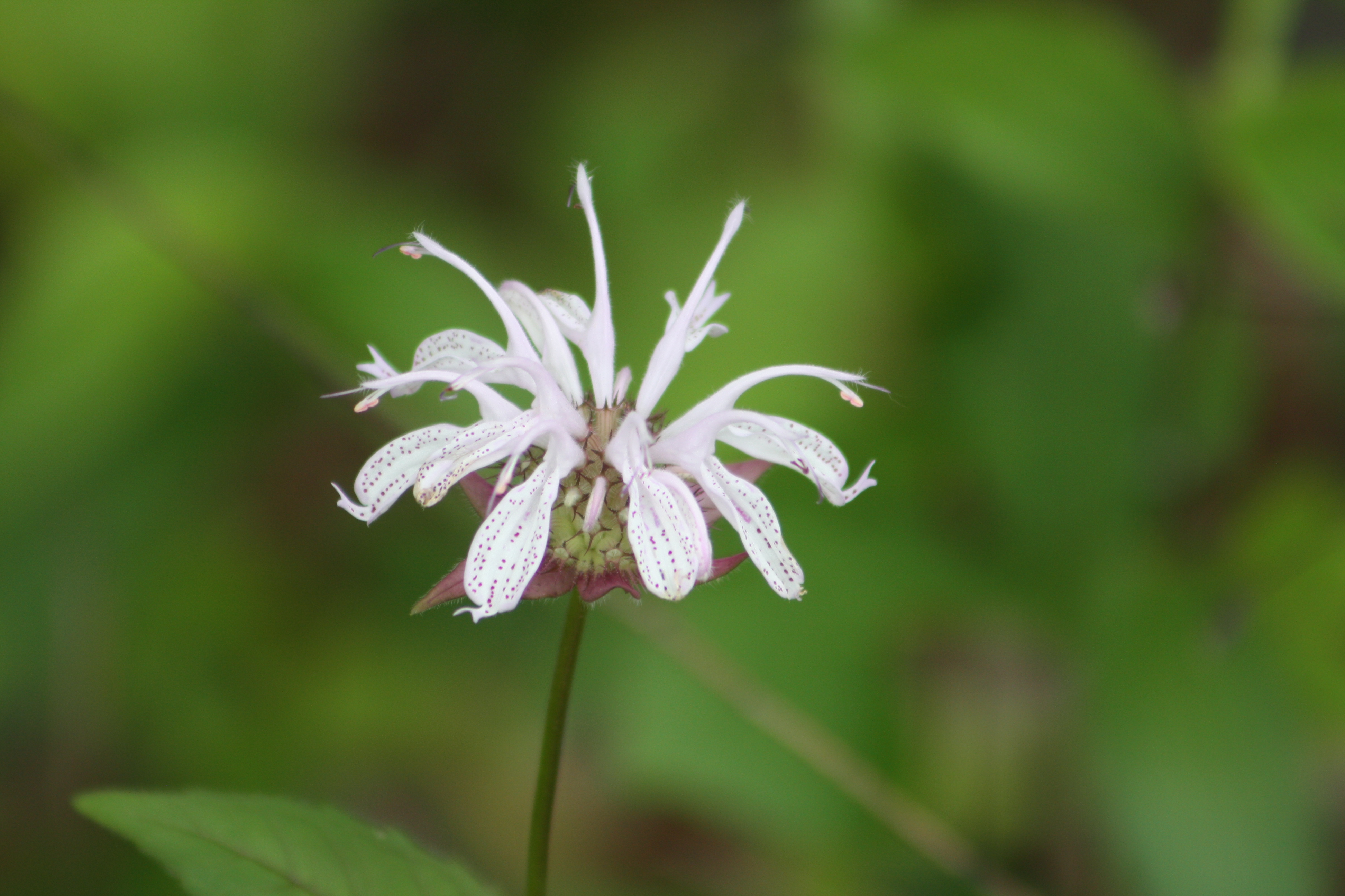
Wild Bergamot 062
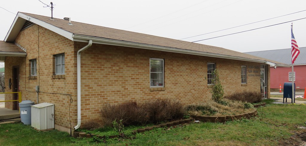
Post Office 63937 (Ellsinore, Missouri)
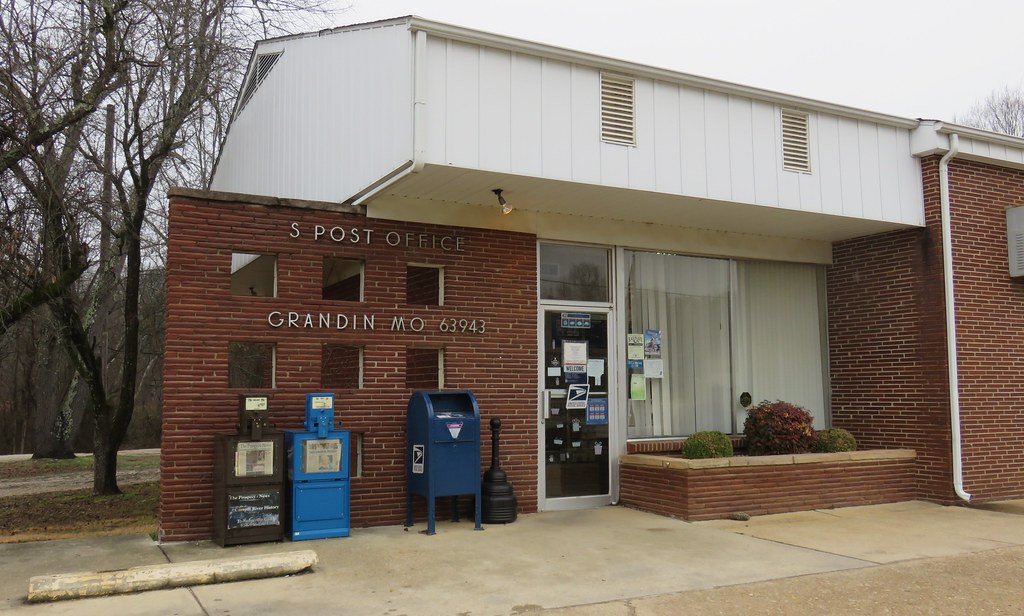
Post Office 63943 (Grandin, Missouri)
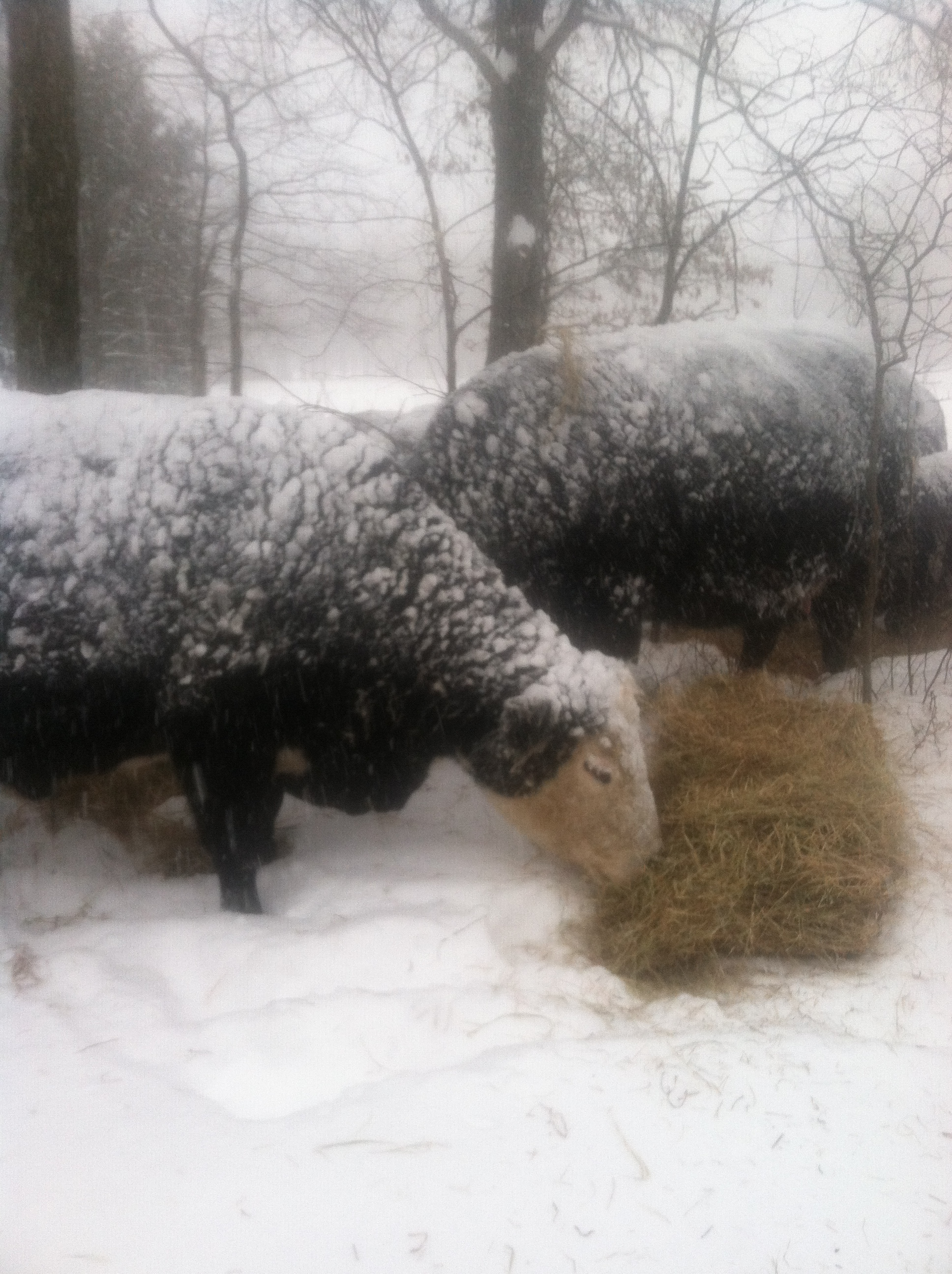
Marilyn Eason - Winter Cows

PB Pinewoods RA 102114

Brown Skimmer Plathemis lydia Drury. 1773
pine wood lake, ellsinore mo 9/20/13

pine woods lake 9/20/13

spring time in the Ozarks
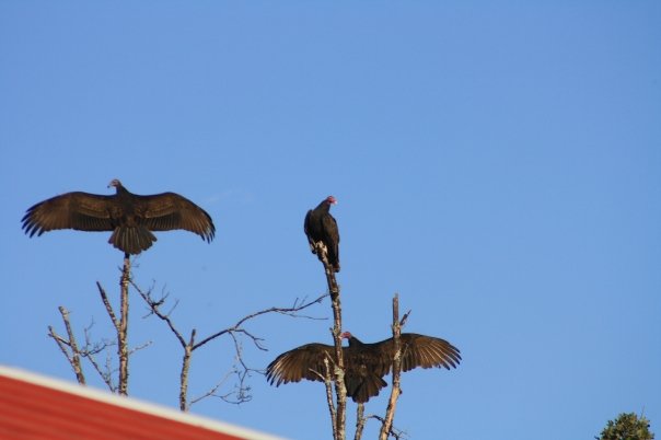
Turkey Vultures

Illuminating Butterfly

Red Eared Slider
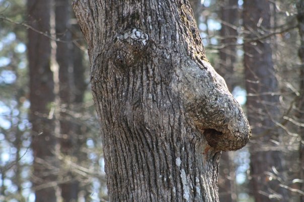
Schnauze Tree

Red Tail Hawk

Blue Butterfly

Whole Wheat French Bread
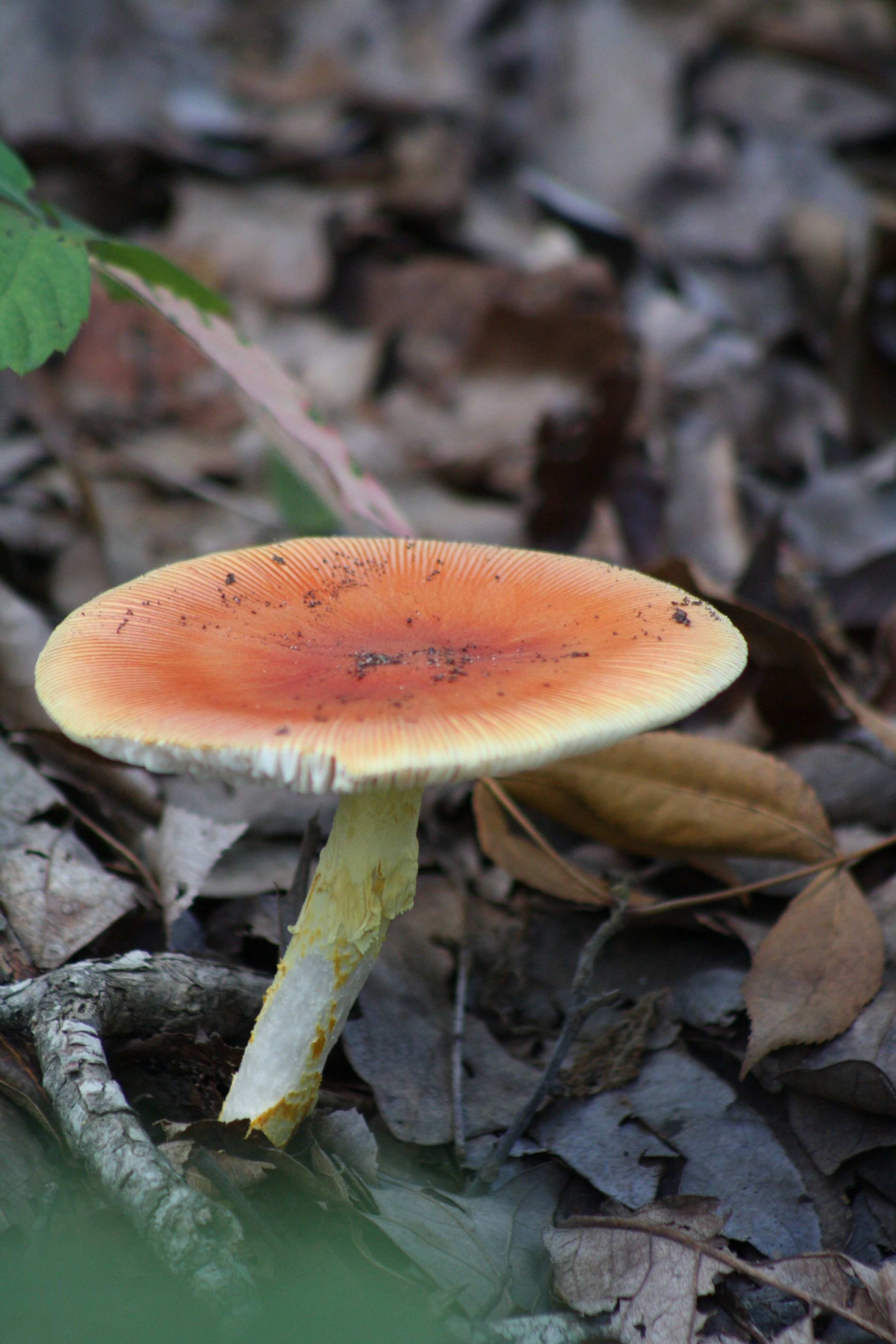
mush 168

mushroom 158
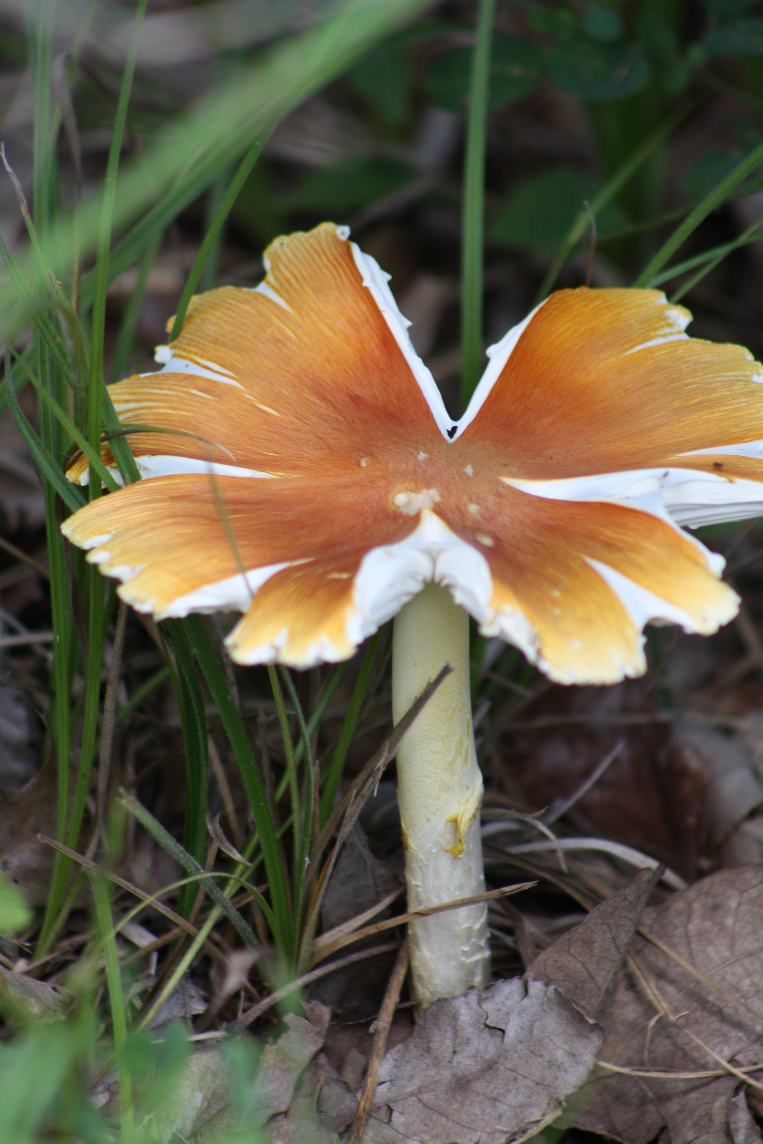
Amanitta Jacksonii

Tree Frog
Topographic Map of Johnson Township, MO, USA
Find elevation by address:

Places in Johnson Township, MO, USA:
Places near Johnson Township, MO, USA:
3 S Cane Ave, Ellsinore, MO, USA
Ellsinore
Carter County
Ripley County
County Road 434
Doniphan Township
Epps Township
Clearwater Lake
Van Buren
Doniphan
Red Hawk Lane
215 Rugby Ln
Beaver Dam Township
Wayne County
Deer Run 1
Carter Township
Webb Township
Township Line Rd, Poplar Bluff, MO, USA
Black River Township
Kanell Blvd, Poplar Bluff, MO, USA
Recent Searches:
- Elevation of Unnamed Road, Respublika Severnaya Osetiya — Alaniya, Russia
- Elevation of Verkhny Fiagdon, North Ossetia–Alania Republic, Russia
- Elevation of F. Viola Hiway, San Rafael, Bulacan, Philippines
- Elevation of Herbage Dr, Gulfport, MS, USA
- Elevation of Lilac Cir, Haldimand, ON N3W 2G9, Canada
- Elevation of Harrod Branch Road, Harrod Branch Rd, Kentucky, USA
- Elevation of Wyndham Grand Barbados Sam Lords Castle All Inclusive Resort, End of Belair Road, Long Bay, Bridgetown Barbados
- Elevation of Iga Trl, Maggie Valley, NC, USA
- Elevation of N Co Rd 31D, Loveland, CO, USA
- Elevation of Lindever Ln, Palmetto, FL, USA