Elevation of Johnson County, GA, USA
Location: United States > Georgia >
Longitude: -82.691542
Latitude: 32.7308194
Elevation: 90m / 295feet
Barometric Pressure: 100KPa
Elevation Map:
Satellite Map:
Related Photos:

Tennessee.

Into the Woods

Sunflower Field

Old Chevy

Old Chevy
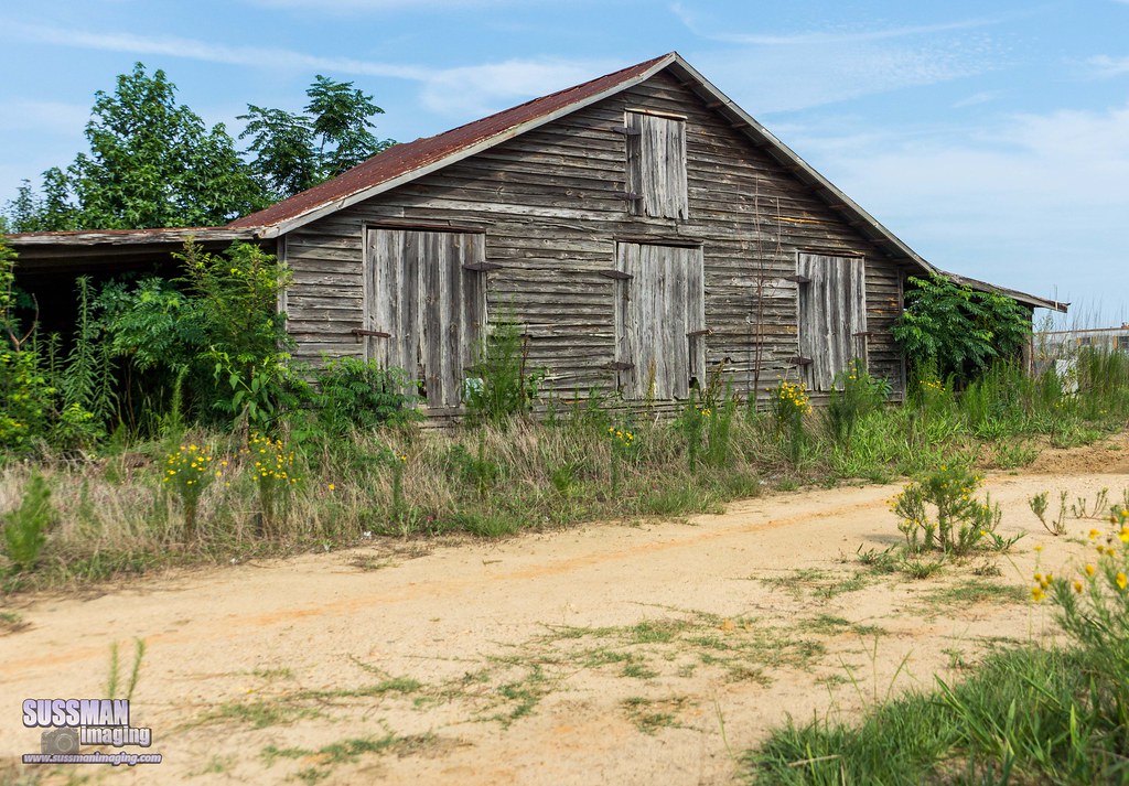
Barn Hunting

Abandoned in South Georgia

Road Trip with Razzle

Yeap I'm home

Rusted Tractor

Nobody's Home

Door to the Past

Reclaimed by Nature

No Longer In Use
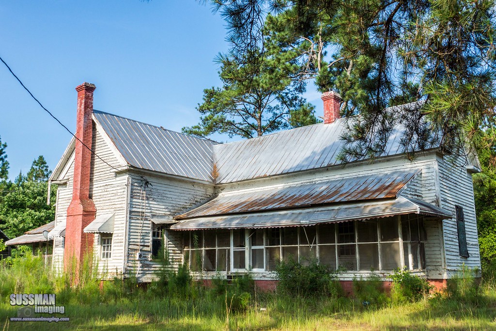
Nobody's Home

Sunflower Field

Sunflower Field

Sunflower Field

Sunflower Field

Sunflower Field

Sunflower Field
Topographic Map of Johnson County, GA, USA
Find elevation by address:

Places in Johnson County, GA, USA:
Places near Johnson County, GA, USA:
Wrightsville
Idylwild Dr, Wrightsville, GA, USA
119 Lester Carroll Rd
Georgia 15
Riddleville
Riddleville
Riddleville
Riddleville
Riddleville-Davisboro Rd, Harrison, GA, USA
Main St, Adrian, GA, USA
Adrian
5922 Ga-24
5922 Ga-24
631 Avant Cemetery Rd
Tennille
505 Bridgemill Rd
1554 Tennille Oconee Rd
East Dublin
Davisboro
Co Rd, Adrian, GA, USA
Recent Searches:
- Elevation of Tenjo, Cundinamarca, Colombia
- Elevation of Côte-des-Neiges, Montreal, QC H4A 3J6, Canada
- Elevation of Bobcat Dr, Helena, MT, USA
- Elevation of Zu den Ihlowbergen, Althüttendorf, Germany
- Elevation of Badaber, Peshawar, Khyber Pakhtunkhwa, Pakistan
- Elevation of SE Heron Loop, Lincoln City, OR, USA
- Elevation of Slanický ostrov, 01 Námestovo, Slovakia
- Elevation of Spaceport America, Co Rd A, Truth or Consequences, NM, USA
- Elevation of Warwick, RI, USA
- Elevation of Fern Rd, Whitmore, CA, USA