Elevation of Johns River, NC, USA
Location: United States > North Carolina > Caldwell County >
Longitude: -81.713052
Latitude: 35.9550943
Elevation: 347m / 1138feet
Barometric Pressure: 97KPa
Elevation Map:
Satellite Map:
Related Photos:

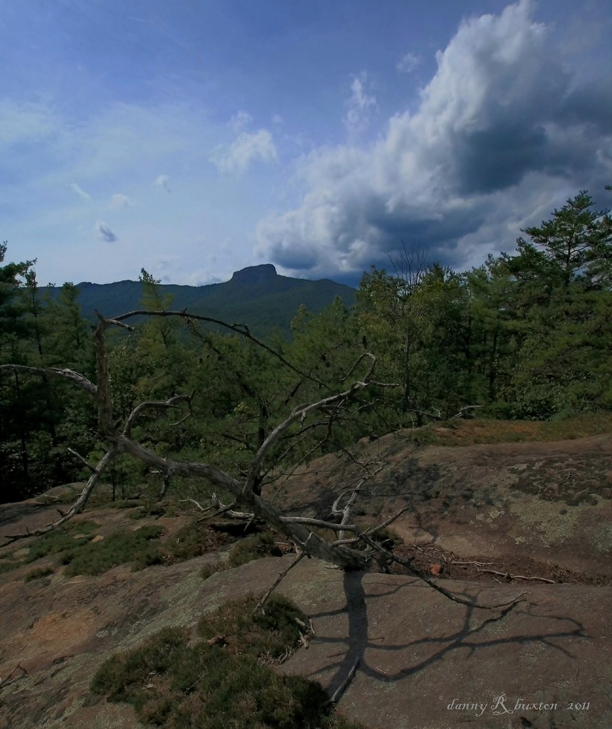
Summit View
The Rock 272/365
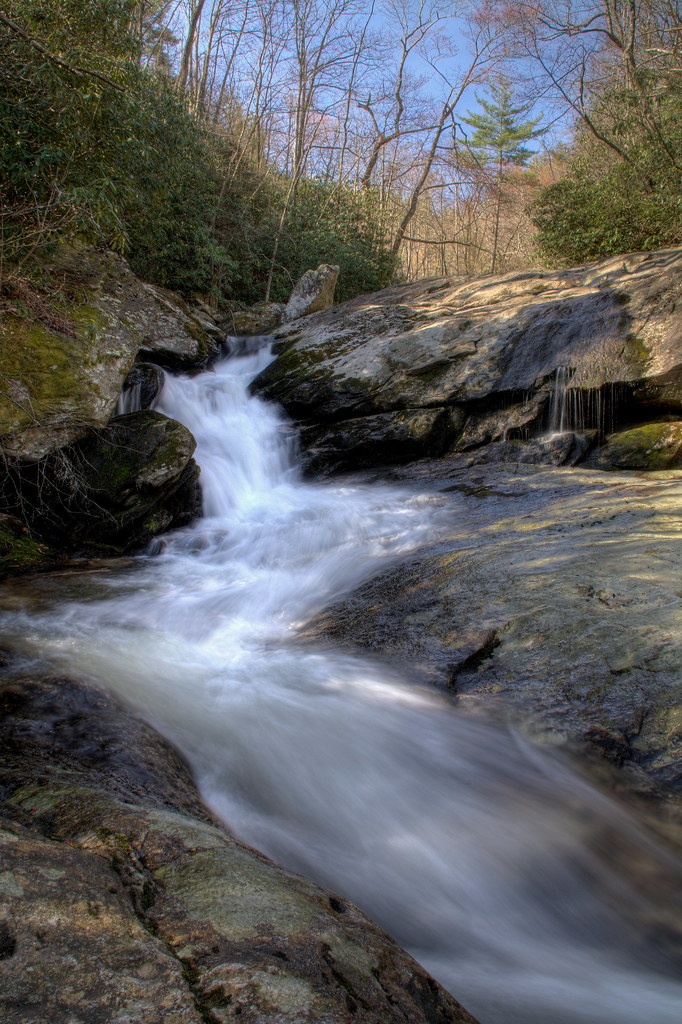
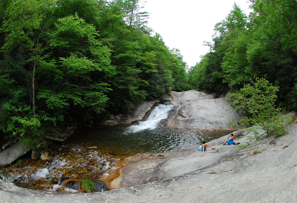
Lower Upper Creek Falls
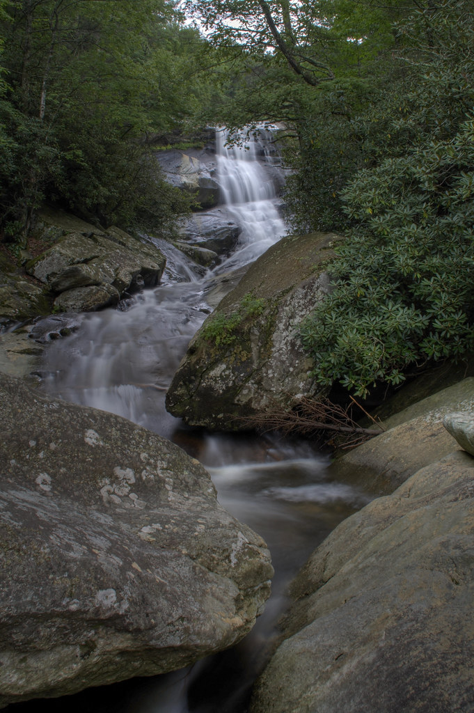
Upper Creek Falls
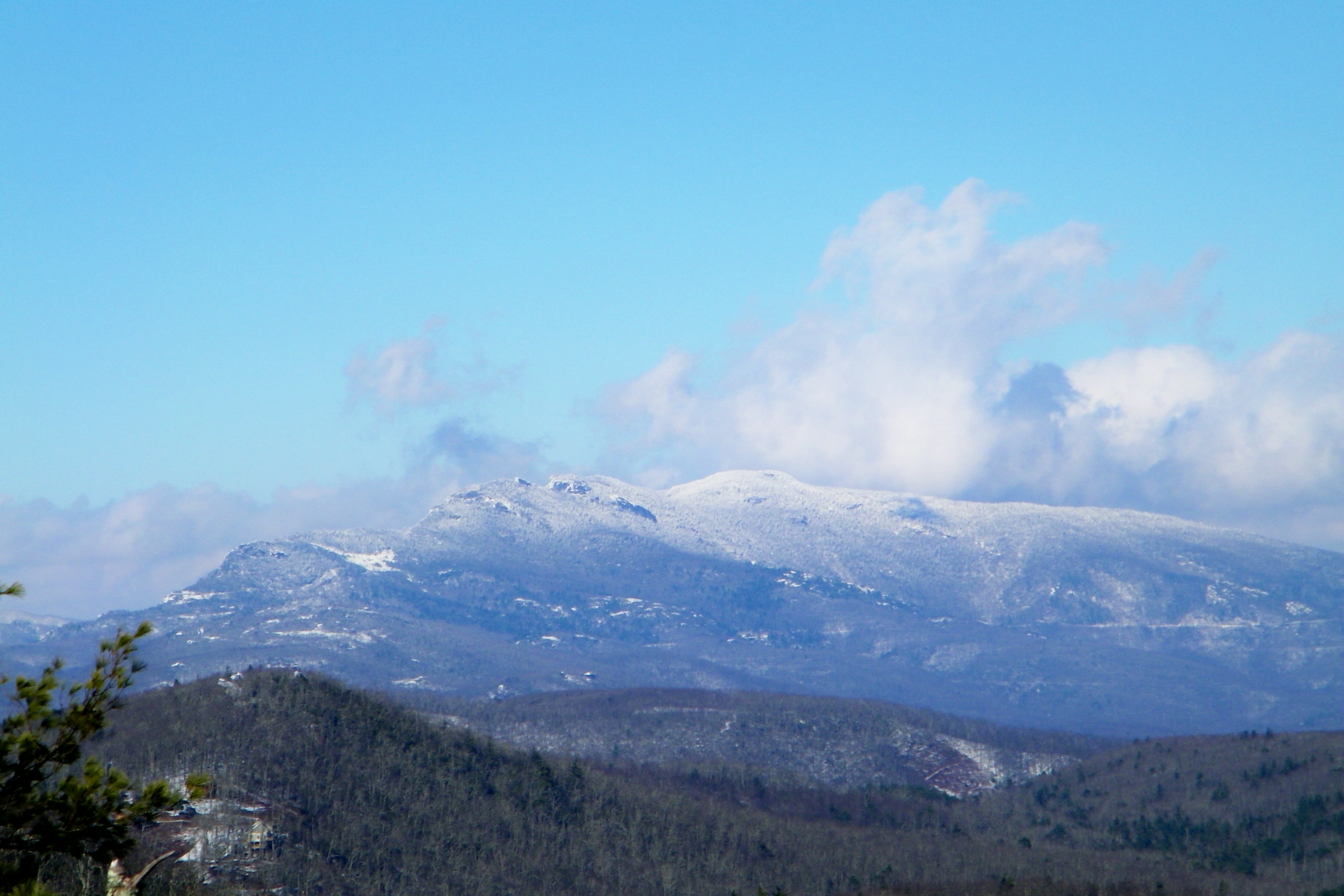
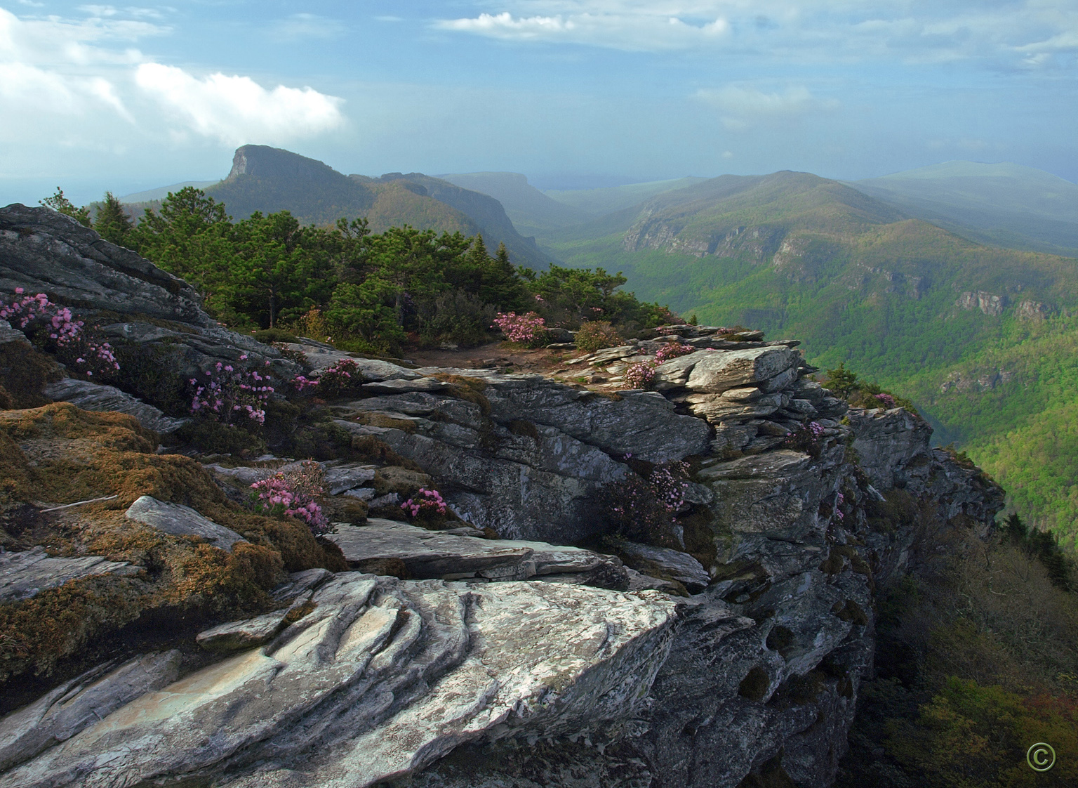
Grandfather Mountain

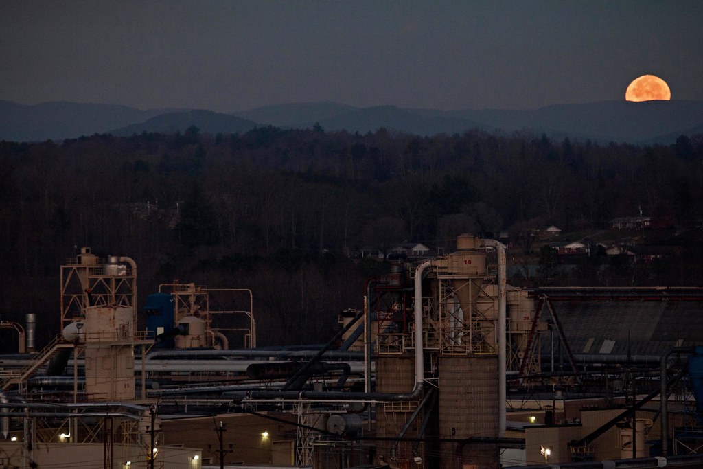
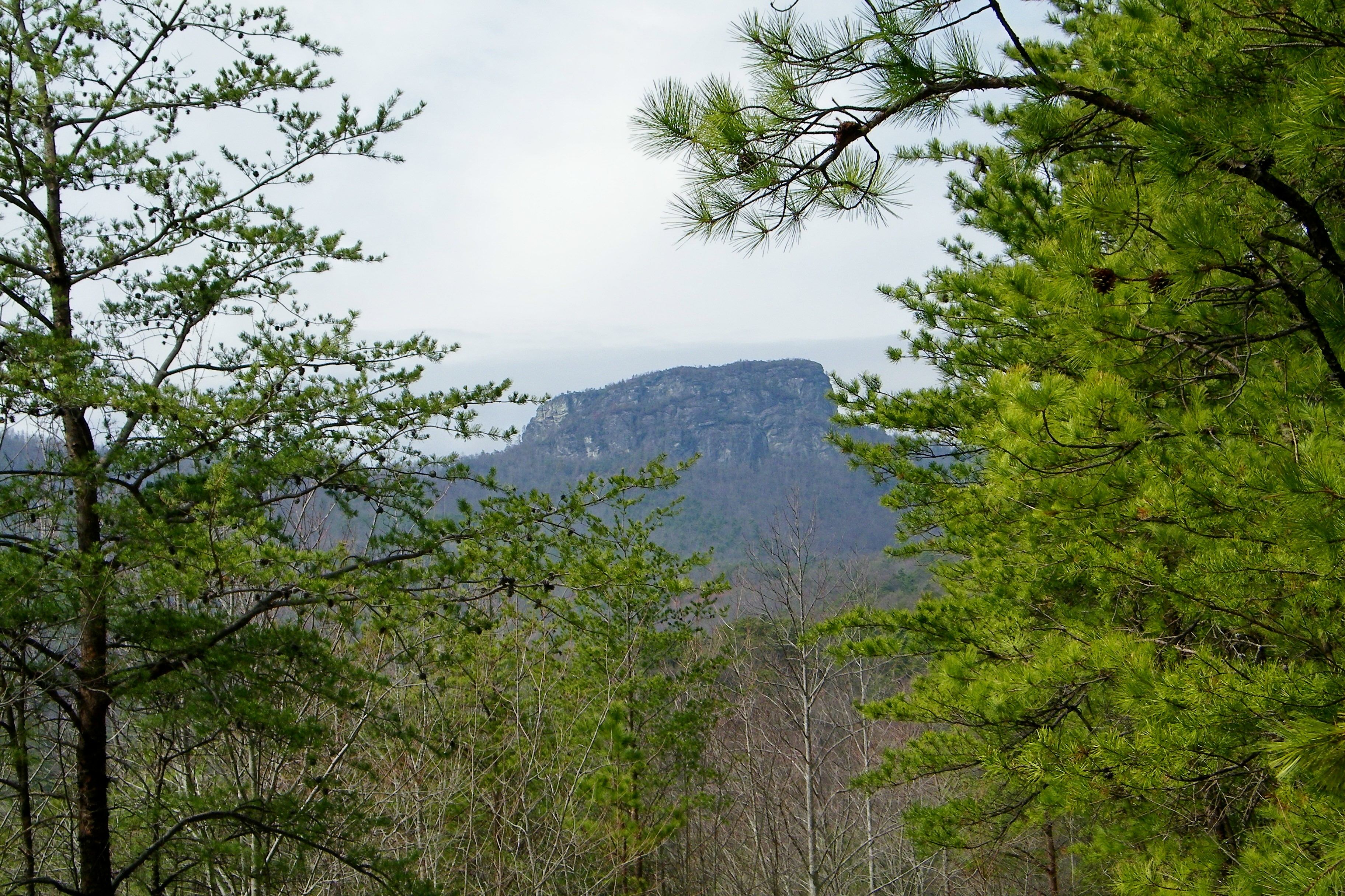
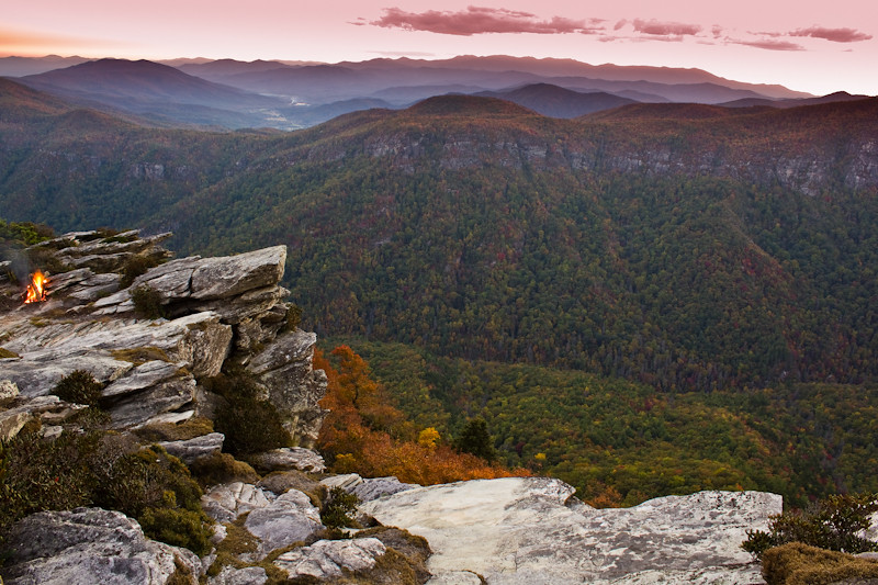
Brown Mountain Overlook

131128-6111 Brown Mountain Overlook
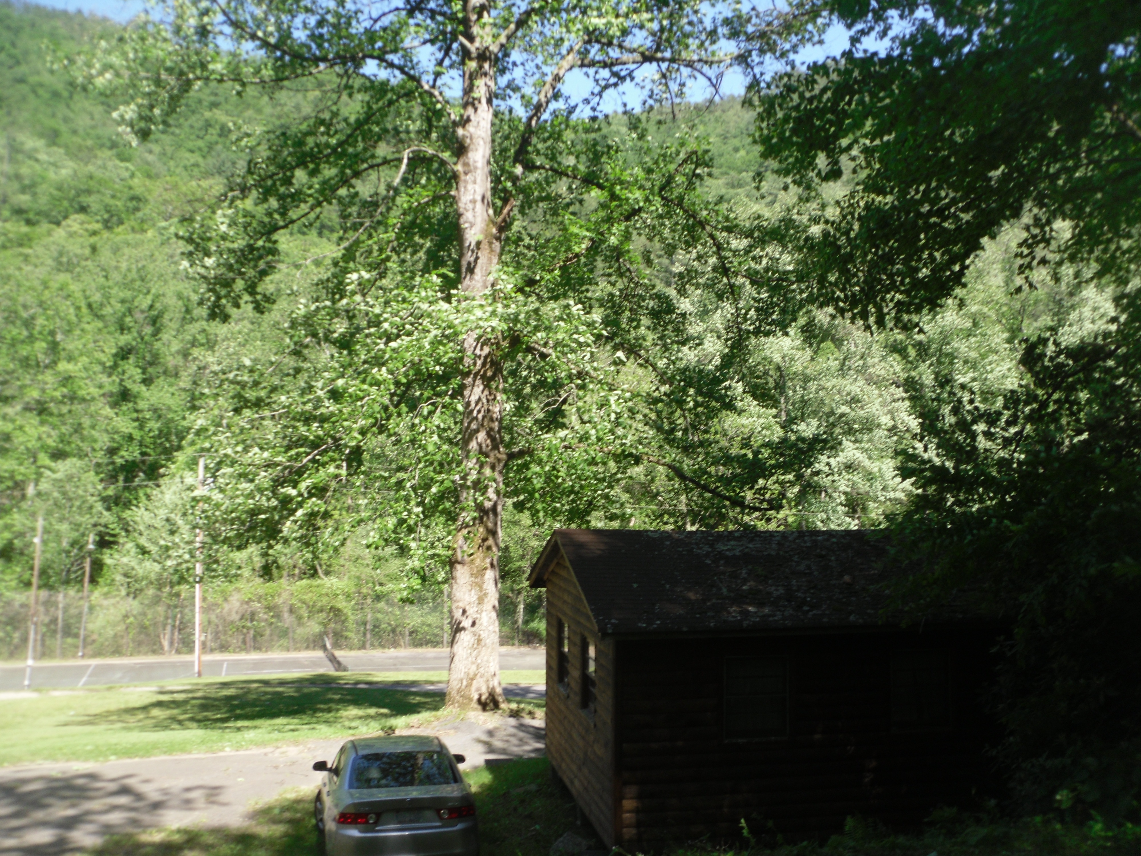
View from the road

View from the porch
Moonset Over the Blue Ridge Mountains 48/52
The view of the Blue Ridge Mountains just outside Blowing Rock NC.

[Full View] Old Hat, Downtown Lenoir, Jonathan Cox Photoshoot
Smitty's View

Brown Mountain Overlook
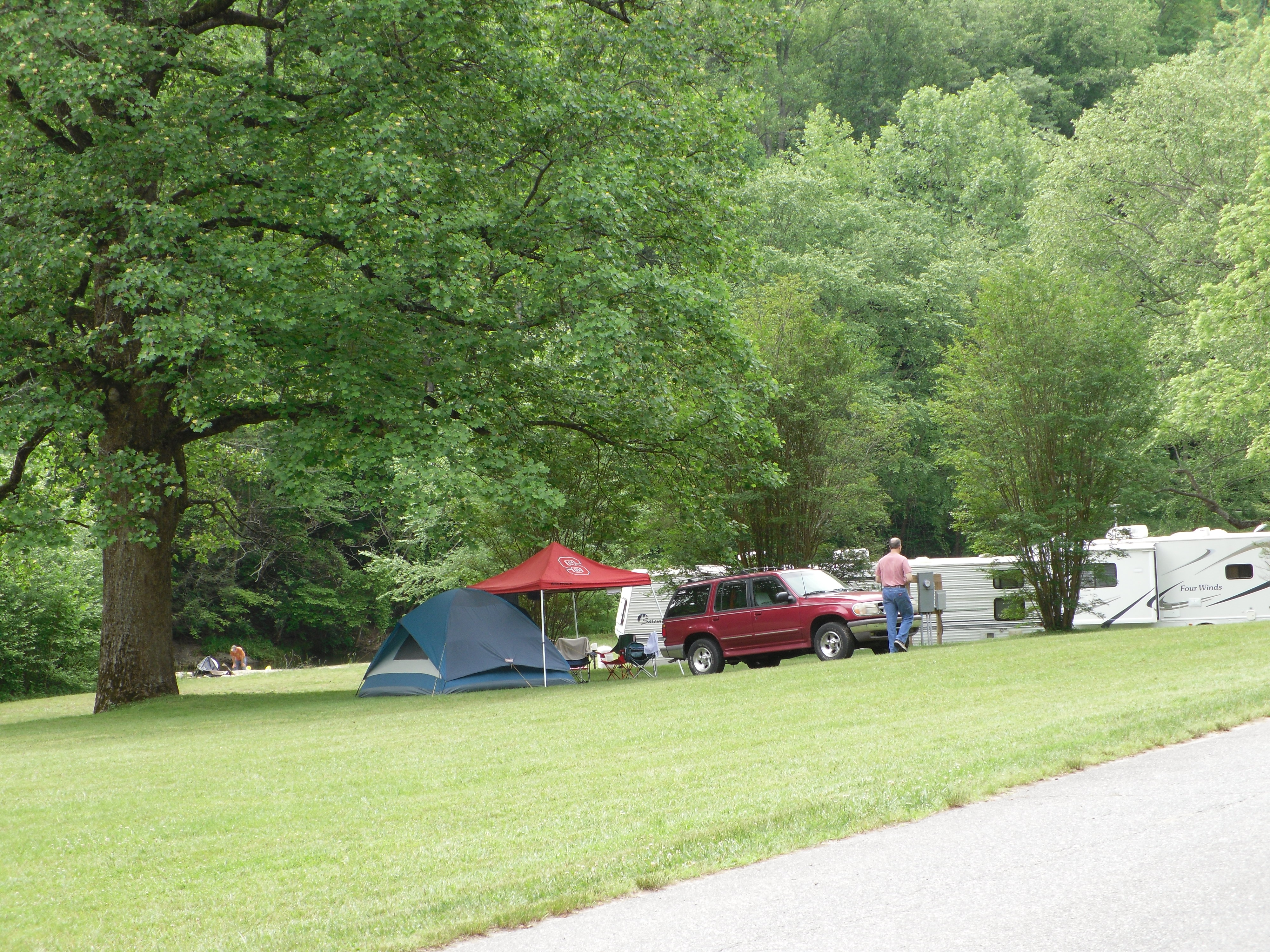
View of Tent City
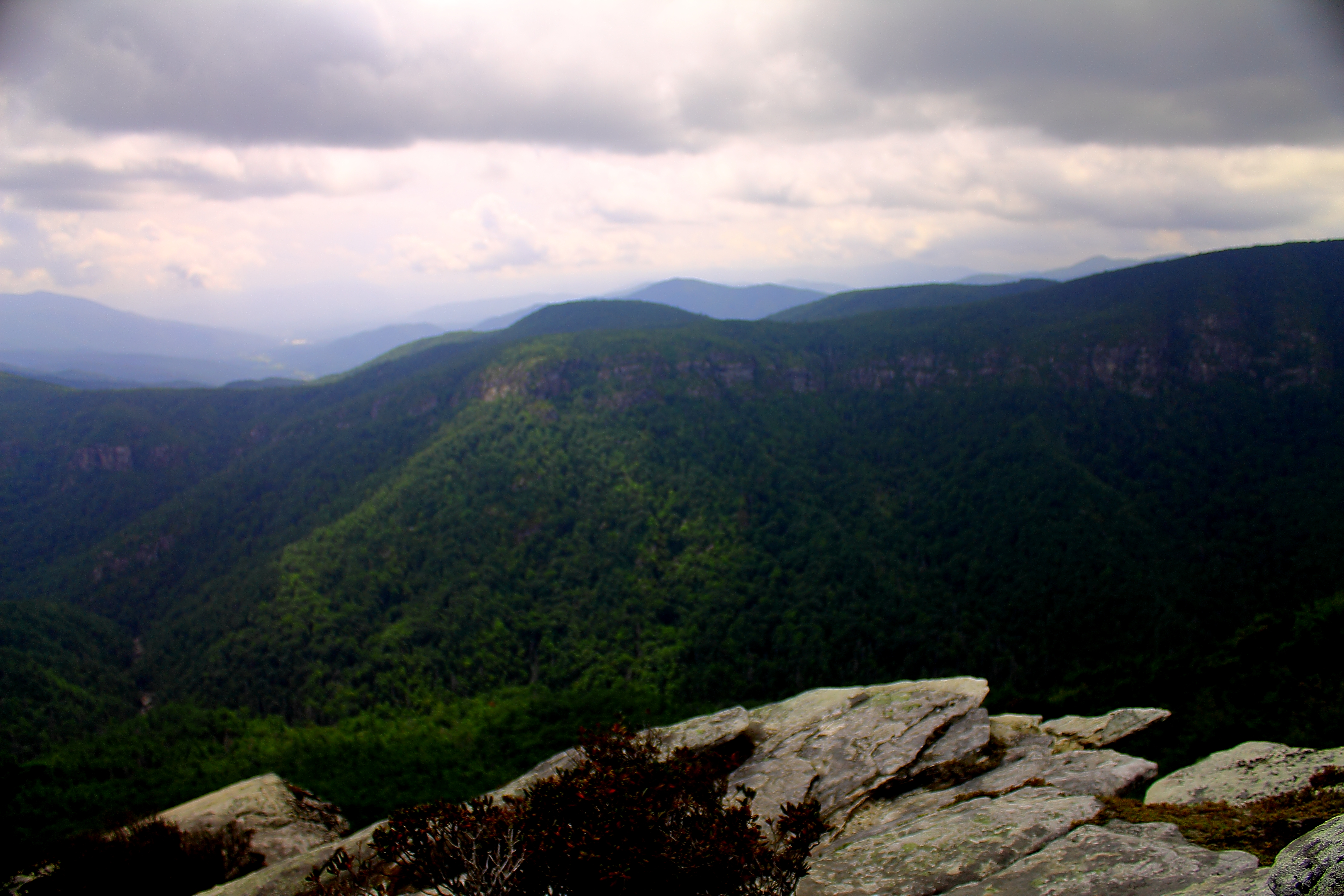
View from atop of Hawksbill
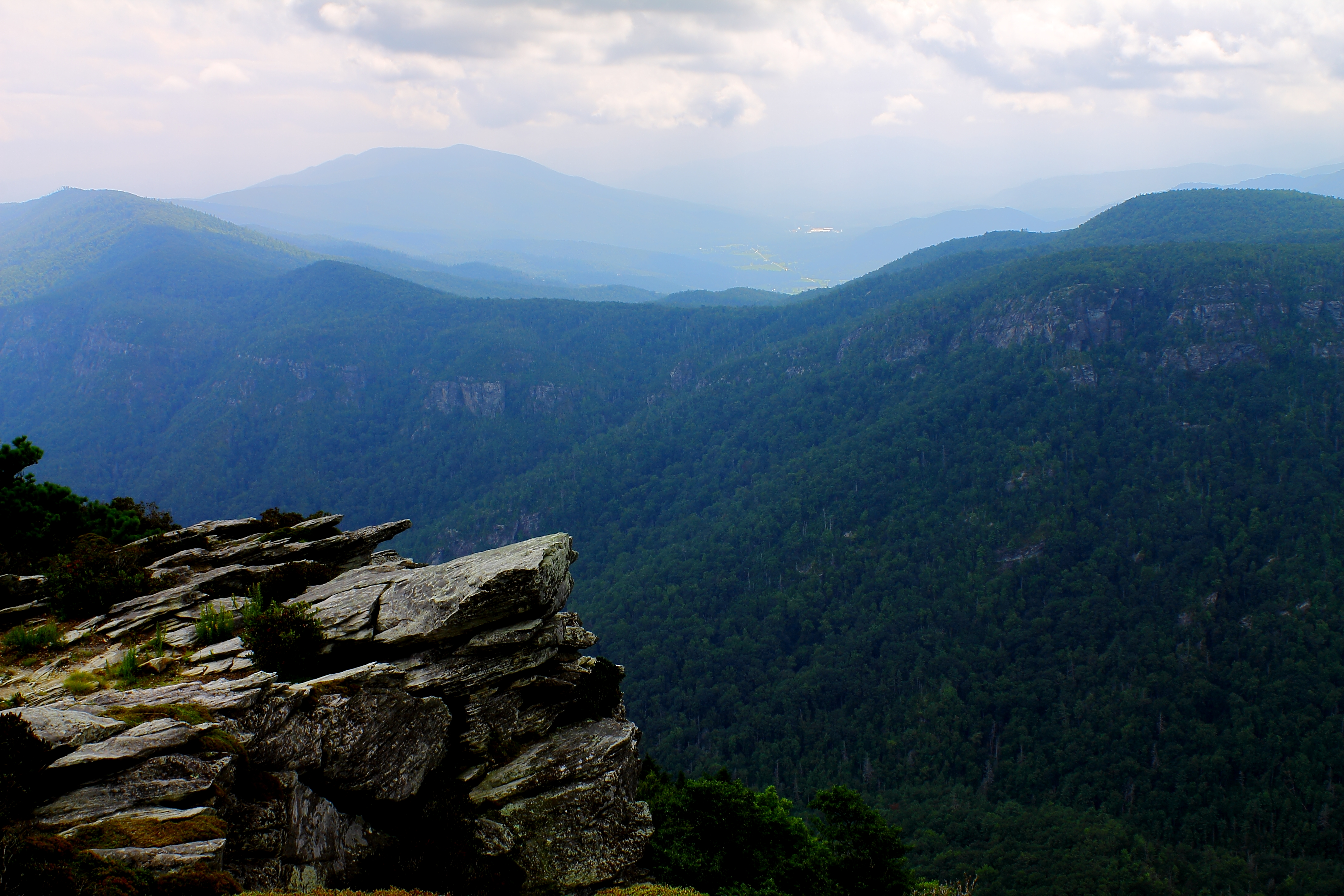
View from atop of Hawksbill

View from atop of Hawksbill

View from atop of Hawksbill
Friday Cabin View
View of Table Rock Mountain

Enchanted Valley

North Harper Creek
Irish Creek 273/365

Lower Falls on Upper Creek
Bard Falls III
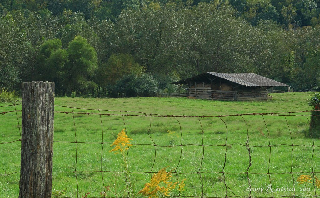
Irish Creek Farm 15/52
Steels Creek
Linville Gorge Wilderness
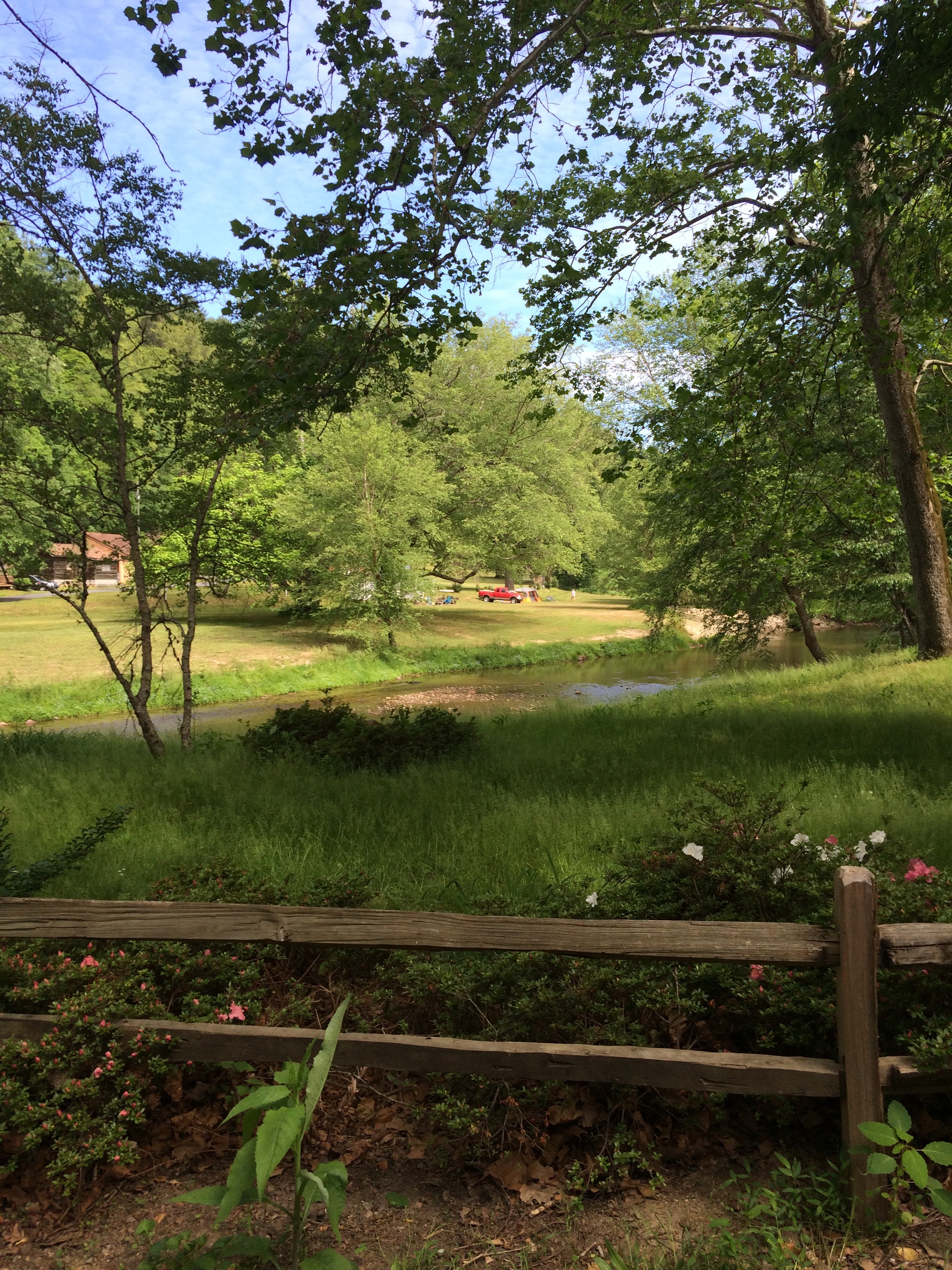
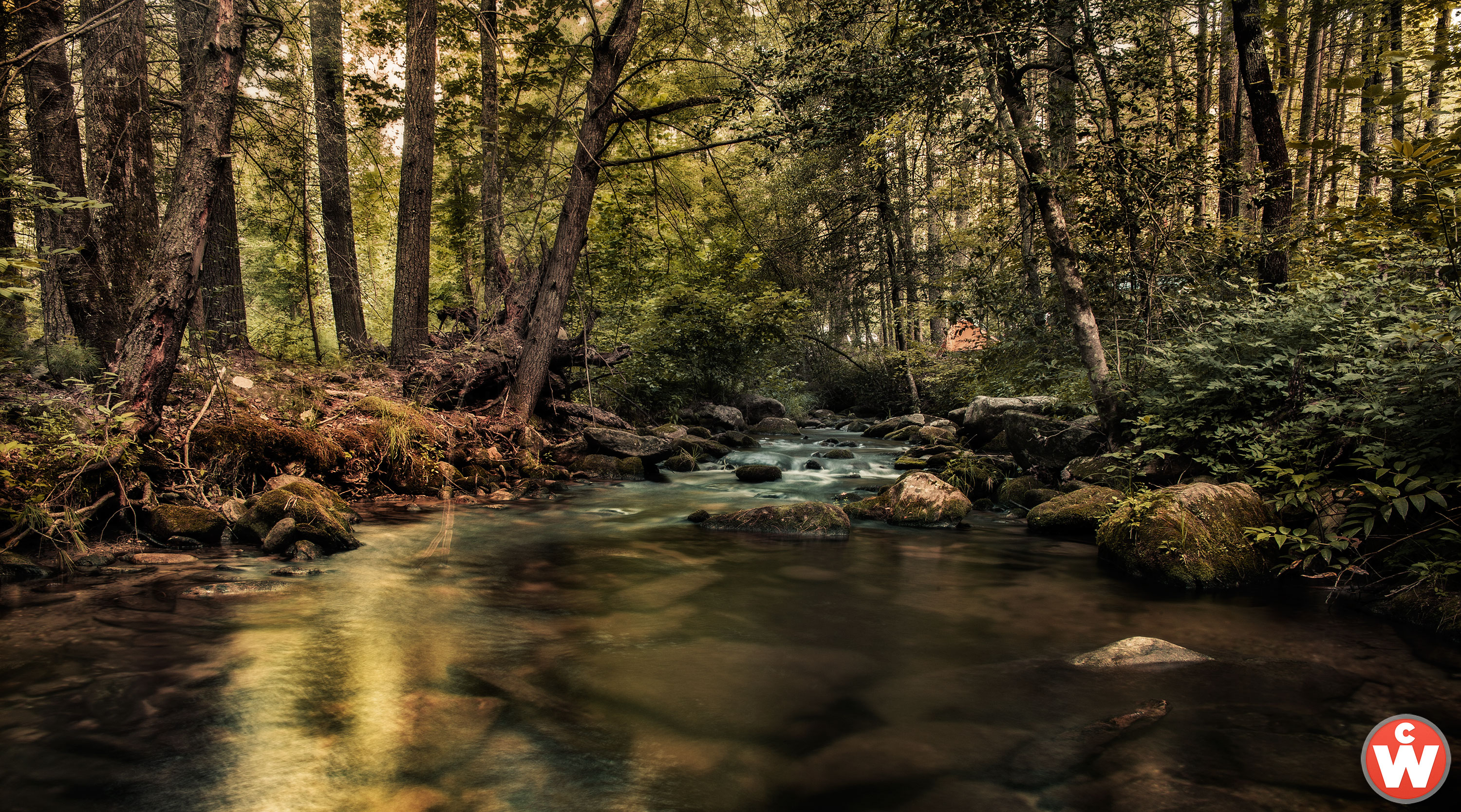
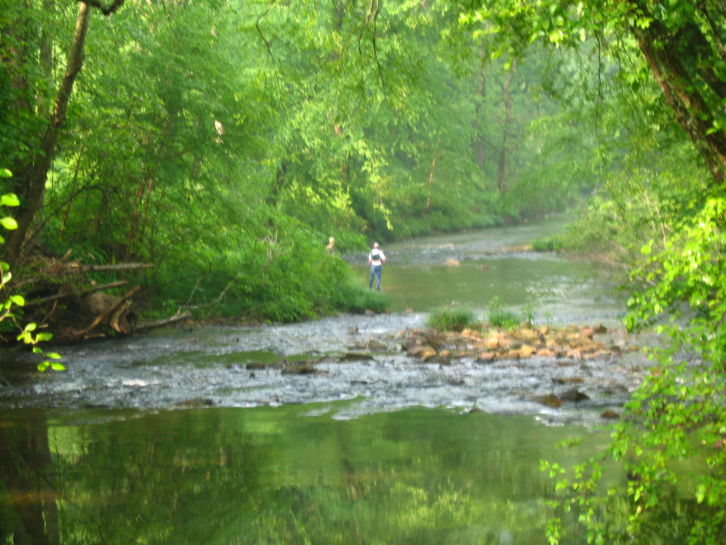
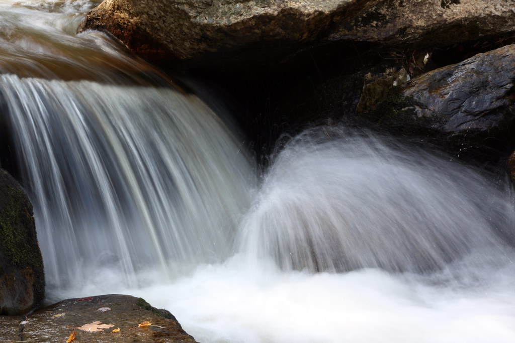
John's River Down Stream
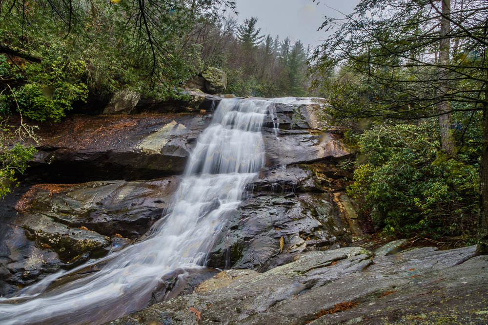
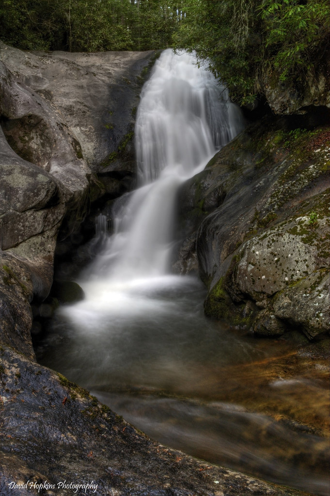
Upper Creek Falls
Willie Fishing 1.JPG
Hawksbill Sunset
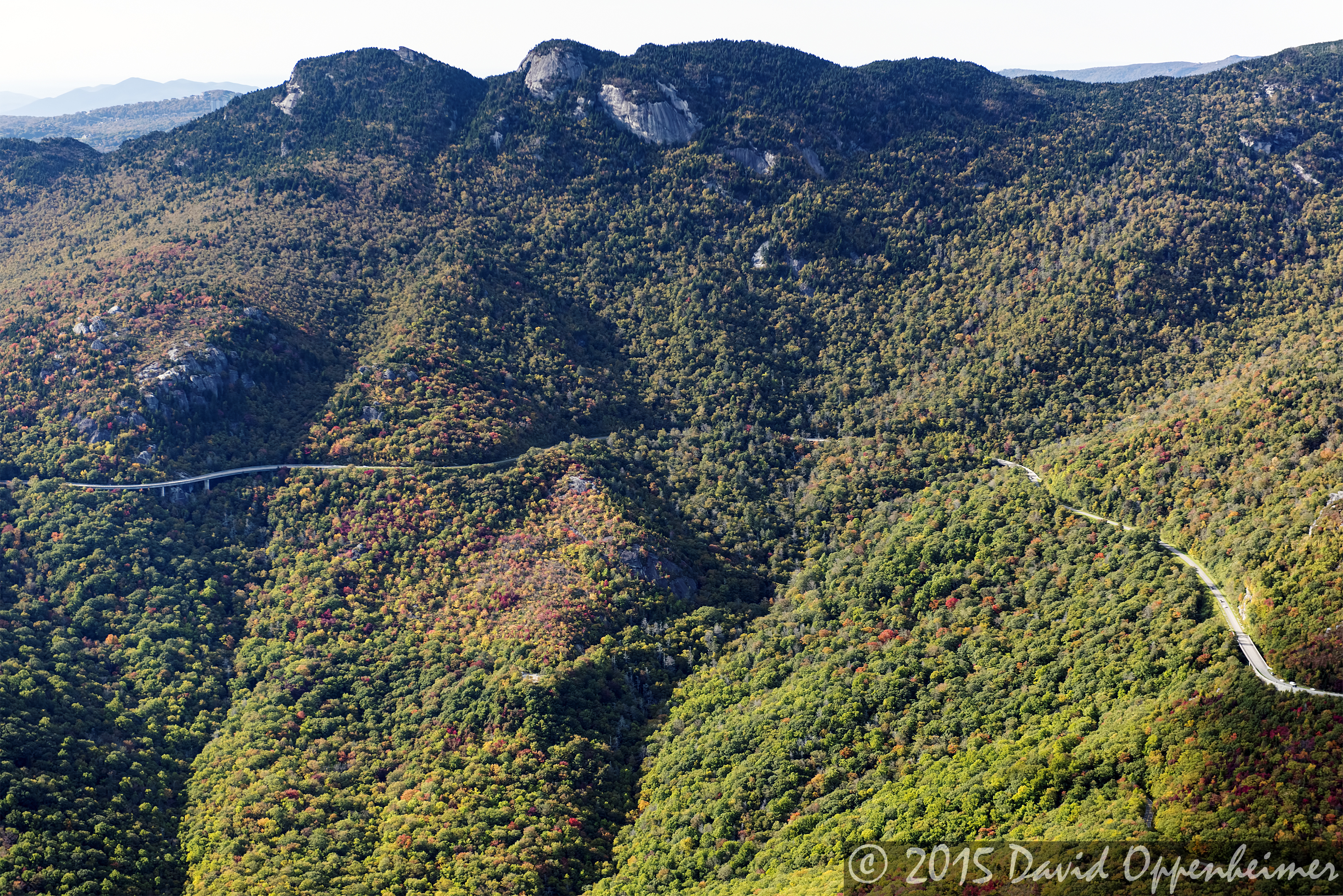
Grandfather Mountain State Park along the Blue Ridge Parkway
Sun and shade

Crabtree Falls

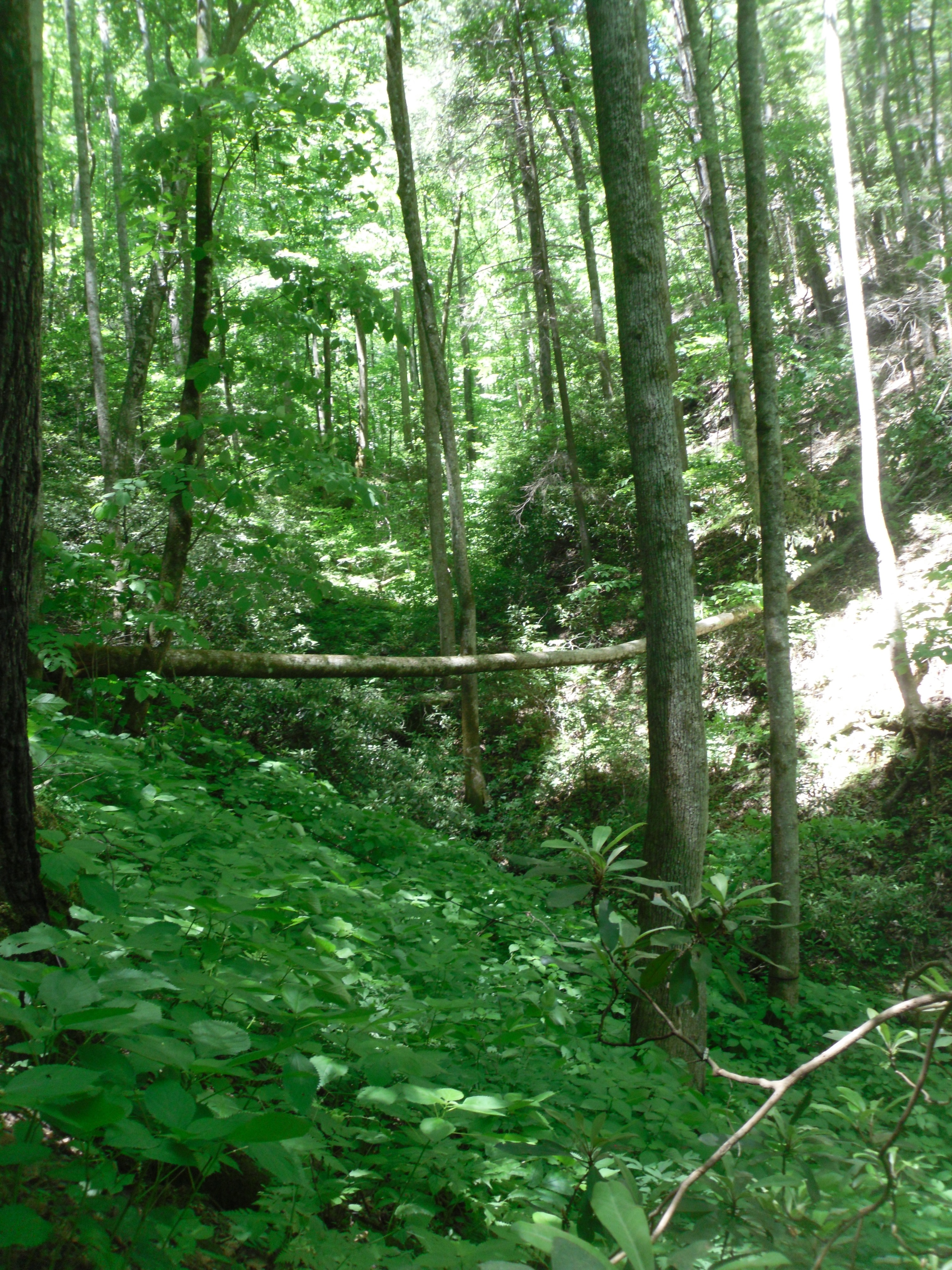
Debris along the banks
Upper Creek Falls Cascade

Upper Creek Falls
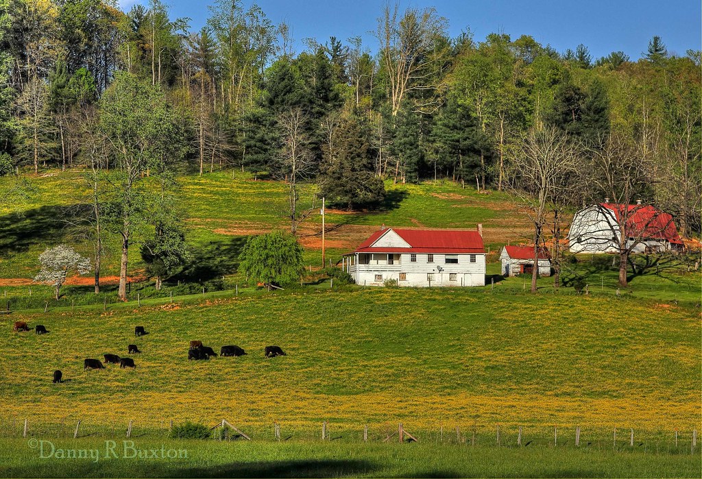
Green valley

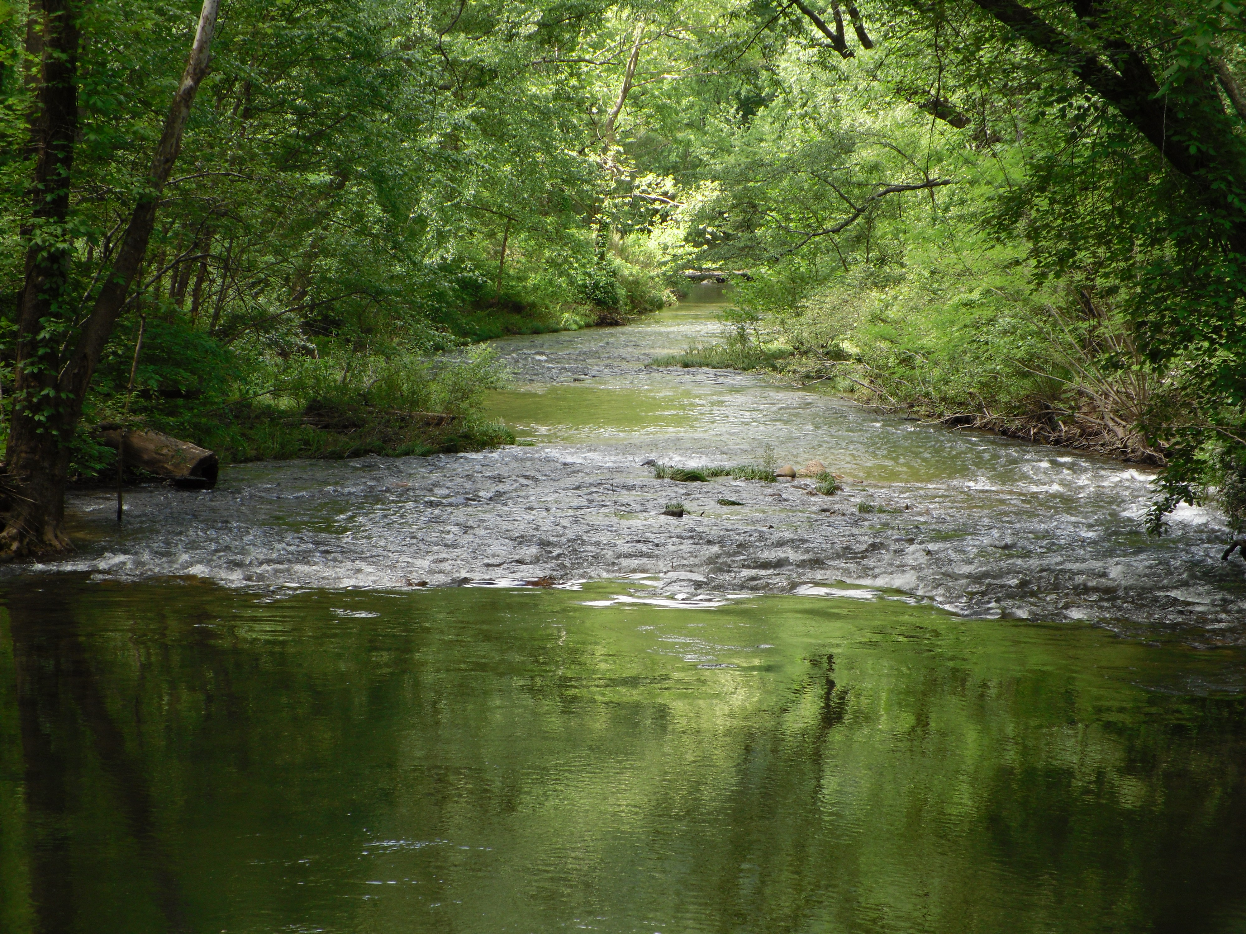
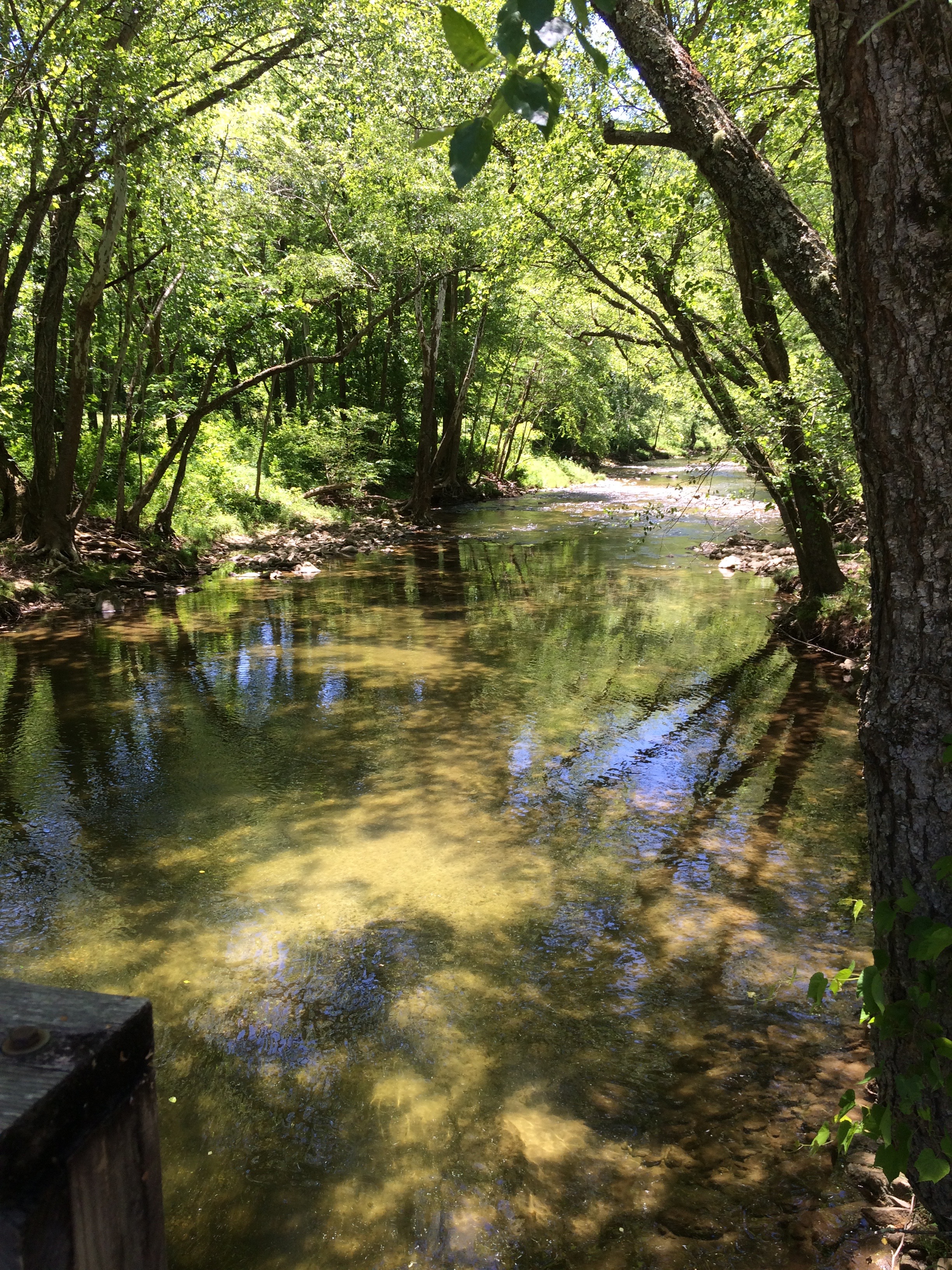
John's River 2.JPG
Topographic Map of Johns River, NC, USA
Find elevation by address:

Places in Johns River, NC, USA:
Places near Johns River, NC, USA:
2504 Old Johns River Rd
Brown Mountain Beach Road
4150 Bristol Pl
Narrow Gauge Drive
John D Baker Lane
Bent Bow Drive
5611 Collette Ridge Cir
5611 Collette Ridge Cir
Collettsville
Brown Mountain Ridge
7775 Brown Mountain Beach Rd
2020 Johns Ridge Pkwy
The Coves Mountain River Club
2002 Johns Ridge Pkwy
8202 Nc-90
Wilson Creek
Mortimer
5229 Sunset Creek Ln
6883 Edgemont Rd
6790 Edgemont Rd
Recent Searches:
- Elevation of Rojo Ct, Atascadero, CA, USA
- Elevation of Flagstaff Drive, Flagstaff Dr, North Carolina, USA
- Elevation of Avery Ln, Lakeland, FL, USA
- Elevation of Woolwine, VA, USA
- Elevation of Lumagwas Diversified Farmers Multi-Purpose Cooperative, Lumagwas, Adtuyon, RV32+MH7, Pangantucan, Bukidnon, Philippines
- Elevation of Homestead Ridge, New Braunfels, TX, USA
- Elevation of Orchard Road, Orchard Rd, Marlborough, NY, USA
- Elevation of 12 Hutchinson Woods Dr, Fletcher, NC, USA
- Elevation of Holloway Ave, San Francisco, CA, USA
- Elevation of Norfolk, NY, USA