Elevation of John Spaulding Road, John Spaulding Rd, Welches Creek, NC, USA
Location: United States > North Carolina > Bladen County > Brown Marsh > Clarkton >
Longitude: -78.649478
Latitude: 34.4269173
Elevation: 35m / 115feet
Barometric Pressure: 101KPa
Elevation Map:
Satellite Map:
Related Photos:

Day 289/365 - Catch Me If You Can

Way Up There

West Side View Of Columbus County Courthouse
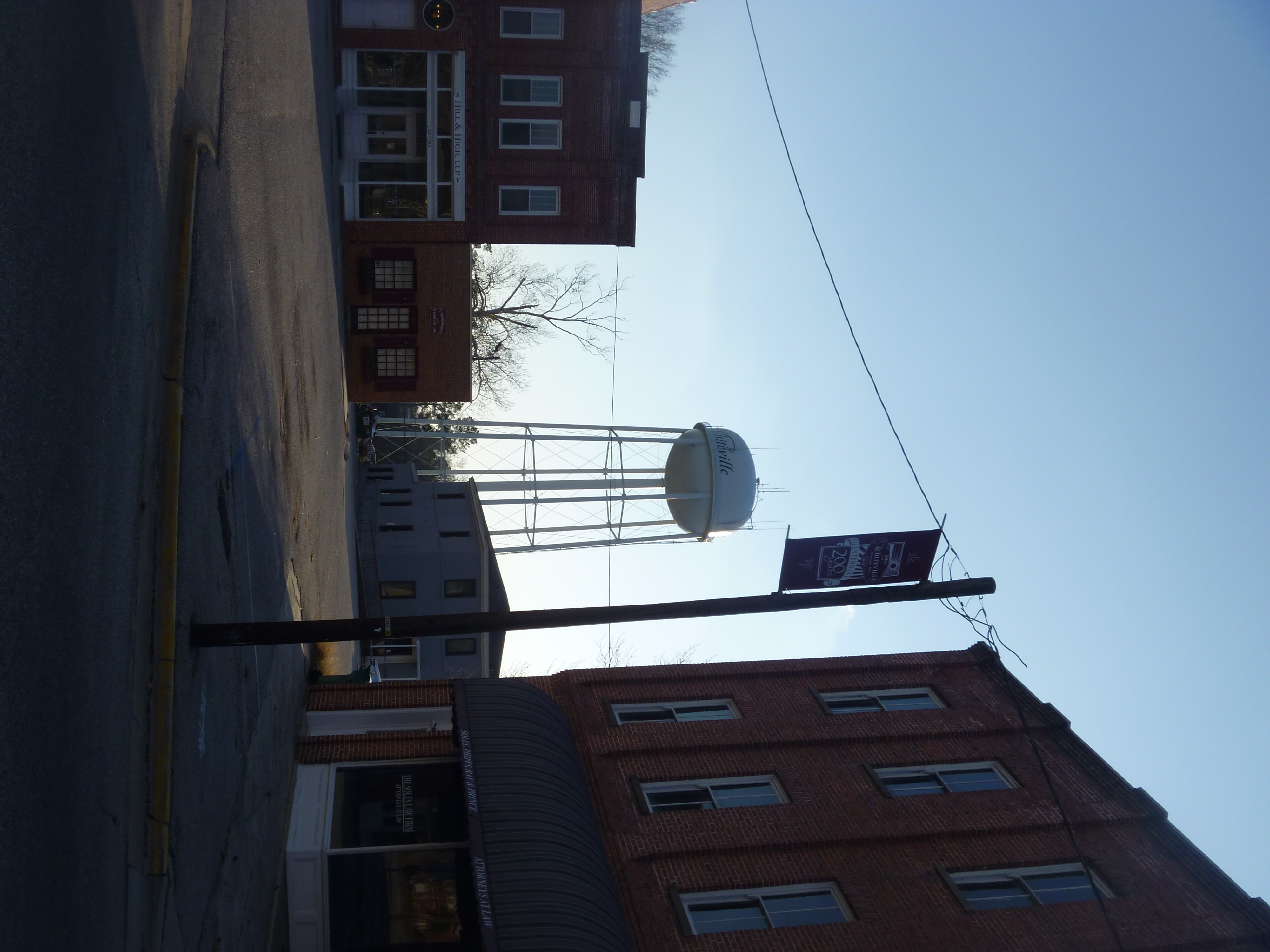
Downtown Whiteville NC And Whiteville Water Tower
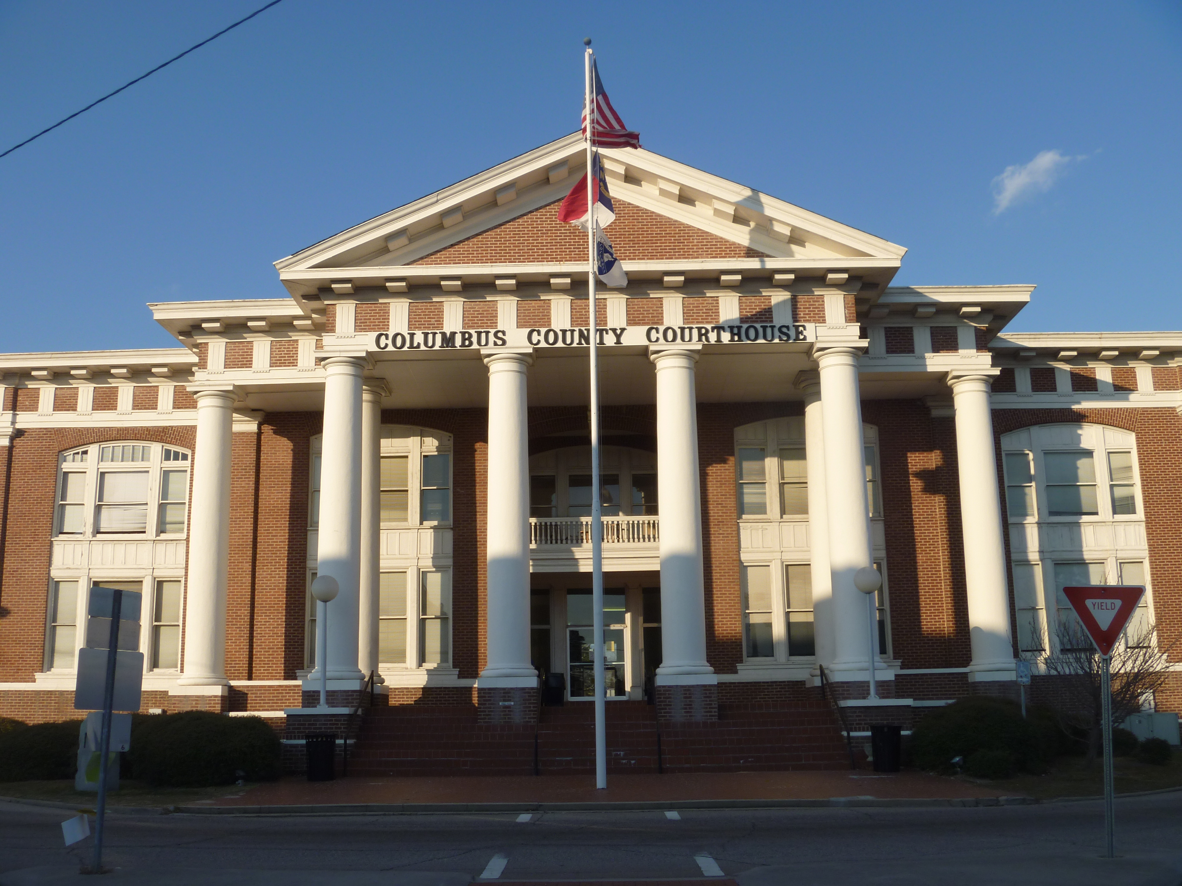
Front View Of Columbus County Courthouse
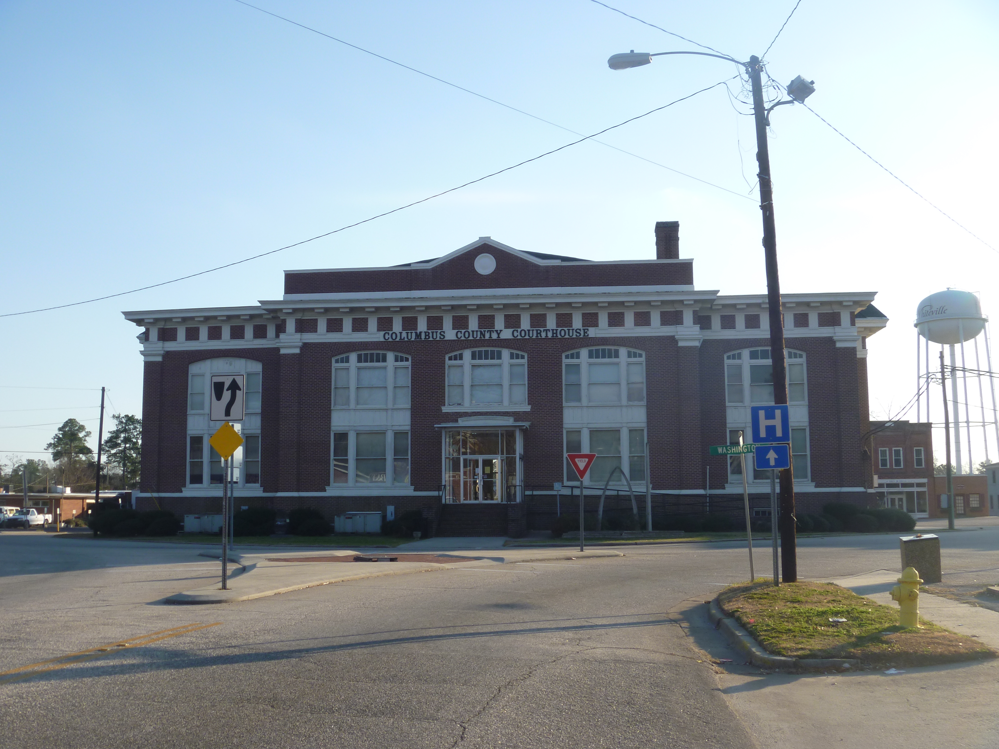
Northside View Of Columbus County Courthouse
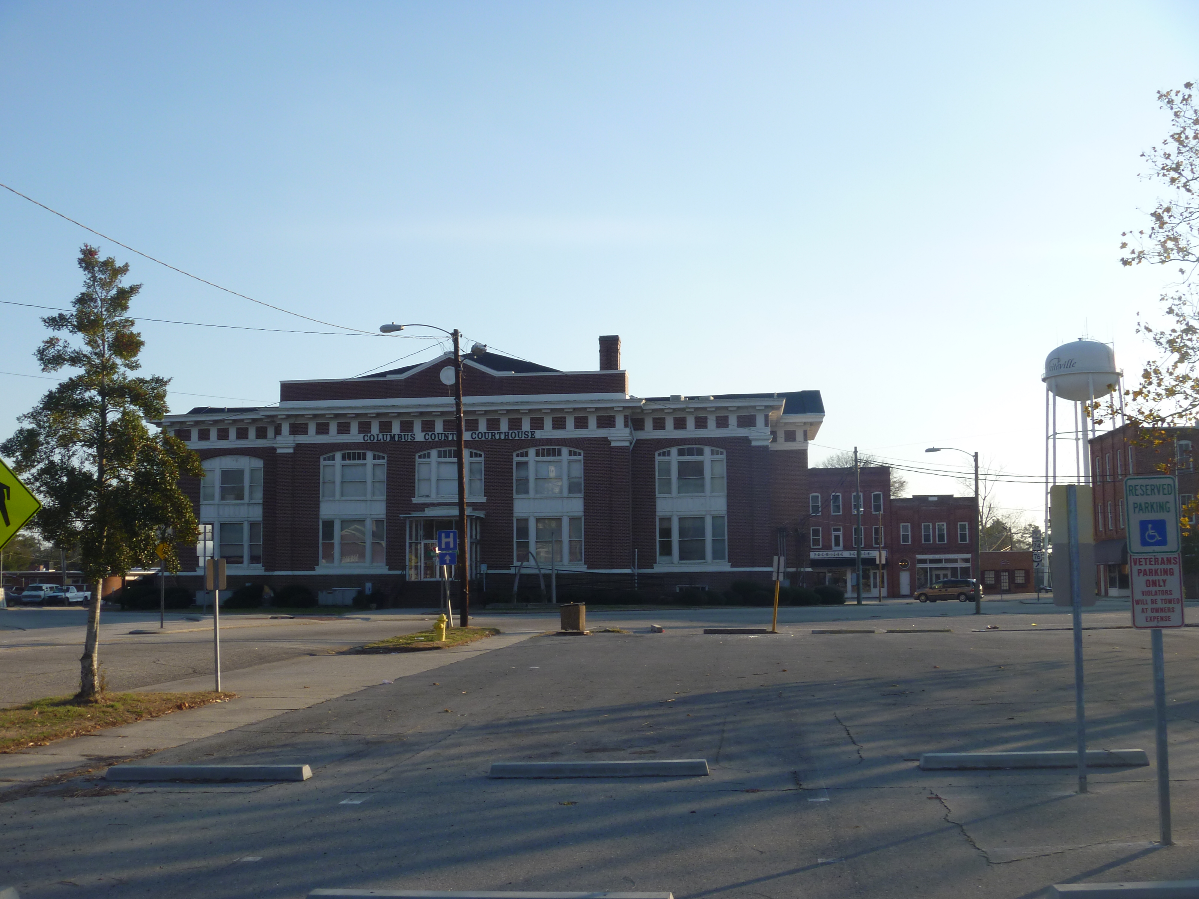
Distant View Of The Rear Of Columbus County Courthouse And Downtown Whiteville
DSC_1039

IMAG0050
IMG_9412


IMG_9420

IMG_2161
Topographic Map of John Spaulding Road, John Spaulding Rd, Welches Creek, NC, USA
Find elevation by address:

Places near John Spaulding Road, John Spaulding Rd, Welches Creek, NC, USA:
Welches Creek
1959 Whitehall Rd
296 Angelo Cir
152 Hillcrest Ln
505 Bentmoore Dr
Whiteville
202 Summit Dr
306 Jefferson St
909 Pinckney St
Whiteville
25 Waterfall Ln
409 Washington St
3815 Sam Potts Hwy
317 S Madison St
Sam Potts Hwy, Hallsboro, NC, USA
Hallsboro
Rosindale Rd, Council, NC, USA
1258 Red Bug Rd
1202 S Madison St
1032 Cherry Town Rd
Recent Searches:
- Elevation of 62 Abbey St, Marshfield, MA, USA
- Elevation of Fernwood, Bradenton, FL, USA
- Elevation of Felindre, Swansea SA5 7LU, UK
- Elevation of Leyte Industrial Development Estate, Isabel, Leyte, Philippines
- Elevation of W Granada St, Tampa, FL, USA
- Elevation of Pykes Down, Ivybridge PL21 0BY, UK
- Elevation of Jalan Senandin, Lutong, Miri, Sarawak, Malaysia
- Elevation of Bilohirs'k
- Elevation of 30 Oak Lawn Dr, Barkhamsted, CT, USA
- Elevation of Luther Road, Luther Rd, Auburn, CA, USA