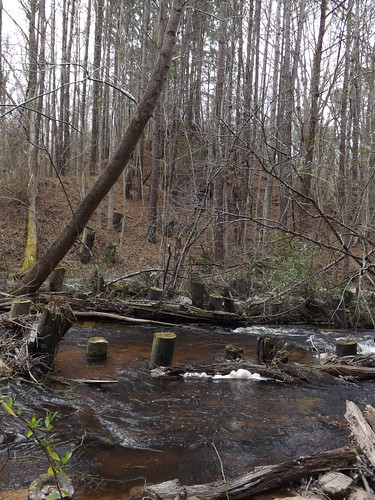
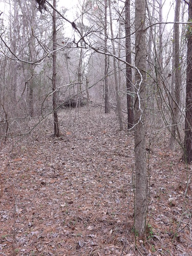
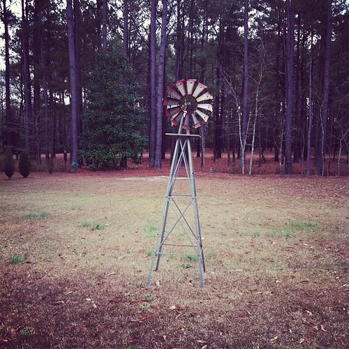
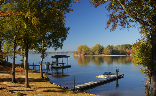
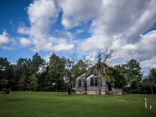
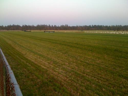
Elevation of John G Richards Road, John G Richards Rd, Camden, SC, USA
Location: United States > South Carolina > Kershaw County > Camden >
Longitude: -80.726903
Latitude: 34.3908294
Elevation: 72m / 236feet
Barometric Pressure: 100KPa
Related Photos:
Topographic Map of John G Richards Road, John G Richards Rd, Camden, SC, USA
Find elevation by address:

Places near John G Richards Road, John G Richards Rd, Camden, SC, USA:
Rolling Hills Road
71 Century Dr, Ridgeway, SC, USA
Old Field Rd, Lugoff, SC, USA
Liberty Hill
413 Friendship Rd
Knights Hill Rd, Camden, SC, USA
1330 State Rd S-28-560
Knights Hill Road
Kershaw County
Lawton Ct, Camden, SC, USA
2409 Marietta Lake Rd
Camden, SC, USA
Dick Hill Rd, Heath Springs, SC, USA
18 Bomburgh Rd
Wood Ln, Camden, SC, USA
105 State Rd S-28-664
Ridgeway Rd, Lugoff, SC, USA
Lugoff
295 Fox Haven Ln
550 Timberlane Cir
Recent Searches:
- Elevation of Côte-des-Neiges, Montreal, QC H4A 3J6, Canada
- Elevation of Bobcat Dr, Helena, MT, USA
- Elevation of Zu den Ihlowbergen, Althüttendorf, Germany
- Elevation of Badaber, Peshawar, Khyber Pakhtunkhwa, Pakistan
- Elevation of SE Heron Loop, Lincoln City, OR, USA
- Elevation of Slanický ostrov, 01 Námestovo, Slovakia
- Elevation of Spaceport America, Co Rd A, Truth or Consequences, NM, USA
- Elevation of Warwick, RI, USA
- Elevation of Fern Rd, Whitmore, CA, USA
- Elevation of 62 Abbey St, Marshfield, MA, USA


