Elevation of John Dodd Rd, Wellford, SC, USA

Location: United States > South Carolina > Spartanburg County > Wellford >

Longitude: -82.075717

Latitude: 34.9795294

Elevation: -10000m / -32808feet

Barometric Pressure: 295KPa

Elevation Map:

elevation map of John Dodd Rd, Wellford, SC, USA

Satellite Map:

Satellite map of John Dodd Rd, Wellford, SC, USA

Related Photos:

railroad tracks fog geo:lat=34942026 geo:lon=82122202 geotagged nikonstunninggallery panoramio 500px faa fineartamerica flickrart portfolio
railroad fog 1
instagramapp square squareformat iphoneography uploaded:by=instagram crema
Cool BMW view at the Spartanburg museum
sc southcarolina riteaid greer oreillyautoparts
O'Reilly Auto Parts
blue red white d50 catchycolors geotagged nikond50 japanesemaple hdr nikonstunninggallery geolat34931225 geolon82125463
Red, White, and Blue
followbackskytrips4sviewlikes4likesfollownaturelikeforlikelikesforlikesilikefollowforfollowmountainsinstagoodf4ffollowmelikealll4llikertreelandscapeloverslandscapeloversamazinglike4likelandscapephotogra andersonmillinmoore southcarolina moore unitedstates camera:model=canoneos5dmarkiv exif:model=canoneos5dmarkiv exif:focallength=52mm geolocation geo:lat=3488416 geo:state=southcarolina geo:city=moore geo:country=unitedstates geo:lon=82010978333333 exif:isospeed=200 exif:aperture=ƒ80 camera:make=canon exif:lens=2470mm exif:make=canon
Anderson Mill in Moore, South Carolina
railroad usa sc geotagged southcarolina adayonearth adoe wellford startex adoe2 geolat34939246 geolon82105121
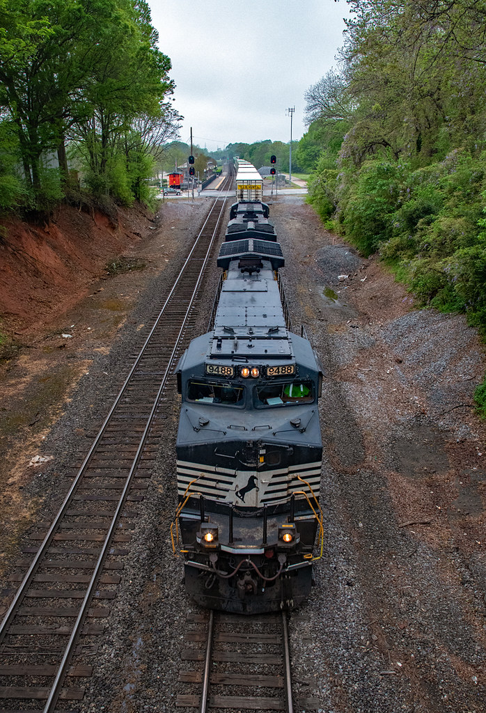
RailRoad in Wellford, South Carolina, USA
samsunggalaxyii
Lavender Nights at Lyman Lake
blue red signs yellow d50 catchycolors geotagged driveby nikond50 mcdonalds hdr geolat34916024 geolon82110658
Broken Icon
flower geotagged blossom southcarolina peach nikonstunninggallery geo:lat=34902421 geo:lon=82145655
peach blossoms 1
underpass geotagged hdr geolat34955111 geolon82098083
Wellford Underpass HDR a
se aluminum s pickuptruck diamondback diamondplate whitetruck silveradosierra gs07 tonneaucover truckbedcover chevygmc passengersideview organizationalaffiliation blacklinex ruggedblack cngsolution foldingtruckbedcover greercommissionofpublicworks
Shortened, Black DiamondBack SE Cover on White, CNG-Converted Silverado
bridge sc d50 geotagged southcarolina nikond50 kudzu wellford geolat34872412 geolon82081089
River Falls Bridge 2
se aluminum s pickuptruck afc diamondback diamondplate whitetruck silveradosierra gs07 tonneaucover truckbedcover chevygmc passengersideview organizationalaffiliation blacklinex ruggedblack cngsolution altfuelcap foldingtruckbedcover greercommissionofpublicworks
Black Alt-Fuel Cap & DiamondBack SE Cover on White, CNG-Converted Silverado
southcarolina bottlingplant cocacola us29 cocacolabottlingplant spartanburgsouthcarolina spartanburgcounty
South Carolina, Spartanburg, Coca-Cola Bottling Company (6,210)
Heading North.
bridge sc d50 geotagged southcarolina nikond50 kudzu reidville nikonstunninggallery geo:lat=34872412 geo:lon=82081089
River Falls Bridge 1
light bulb project365 energystar flourescentbulb
Jan 10
office converse firstday
Side Window
artistsinresidenceexhibit airexhibit0706
Long View of Gallery
sc wall d50 geotagged southcarolina driveby nikond50 hdr nikonstunninggallery wellford geolat34955885 geolon82109156
Wellford Shack Wall HDR
sc square upstate squareformat hefe spartanburg iphoneography instagramapp uploaded:by=instagram foursquare:venue=4bedc8604daaa593a4368f61
View from Spartanburg City Hall
sunset lake water landscape southcarolina upstatesc
Berry Shoals * (Explore 11/8/2014)
artatlantainstagoodcoloradogsmnppicofthedayweatherlandscapephotographyexploregeorgiaskylineatlantaphotographerwaterfallstennesseephotographynorthcarolinaphotographermills camera:model=fc220 geocountry geocity exif:model=fc220 geostate geo:lat=34883551666667 geo:lon=82010958333333 exif:focallength=47mm exif:make=dji geolocation exif:isospeed=100 camera:make=dji exif:aperture=ƒ22 exif:lens=263mmf22
Anderson Grist Mill in Anderson, South Carolina
terrain horse field grazing
2009_06_06_13_22_59_6448-1
fillports upcountrysouthcarolina overheadpowerlines electricpoles spartanburgsouthcarolina upstate longstormdrain utilitypoles southcarolinalandscape paved december southcarolinaroute56 distantfence draingrate spartanburglandscape yellowgrate december2017 spartanburgcountysouthcarolina urbanlandscape stormsewergrate gasstationlandscape spartanburgcounty northernsouthcarolina parkingramp hotspot yellowpaint upstatesouthcarolina thehotspot roadmarkings southcarolina56 distantparkingramp winterlandscape powerlines 203eastmainstreet northwesternsouthcarolina telephonepoles differentkindsofpavement yellowroadmarkings undergroundgastank upcountry 20171226 gasstation downtownspartanburg parkinggarage servicestation southcarolina distantparkinggarage greenvillespartanburg img4705 mostlysunny stromdraingrate alley landscape 2017 overheadelectriclines dennystower sunnylandscape stormsewer electriclines downtown undergroundgastankfillports pavement spartanburg southcarolinahighway56 gasolinefillports stormdrain txtchg
Paved slopes hurry waters to draingrates at gas stations.
upcountrysouthcarolina us221 fitnesscenter paintedbricks spartanburgsouthcarolina upstate graffiti 2017 browngrass bluebuilding southcarolinalandscape siding december southcarolinaroute56 spartanburg landscape winter december2017 spartanburgcountysouthcarolina urbanlandscape img5406 paint spartanburgcounty 1940sbuilding slope northernsouthcarolina wintergrass nonwindows southcarolina southcarolina56 winterlandscape usroute221 wintersun ushighway221 celltower brownlawn downtown brickbuilding upcountry 20171226 nautilusfitnesscenter downtownspartanburg brick paintedbrickbuilding fitnessclub 1940s greenvillespartanburg mostlysunny healthclub upstatesouthcarolina gym sidingoverwindows 1940sarchitecture cellulartower southcarolinahighway56 whitesiding slopingland bluepaint northwesternsouthcarolina formerwindows sidingcoveredwindows spartanburglandscape blueandwhitebuilding slopinglawn blueandwhite
"Paint the bricks blue and install siding over the windows!"
2012-09-18 14.31.12
2012-09-18 14.32.51
The Vast Wasteland Will Become One Big Landscape 2
pentaxk100d
Middle Tiger River Falls
square squareformat iphoneography instagramapp xproii uploaded:by=instagram foursquare:venue=4fbaacf7e4b0b68bd9e1f157
Having a great #sunset to look at while I'm on walk today!
square squareformat iphoneography instagramapp uploaded:by=instagram foursquare:venue=4c792a5b794e224b2d636428
#7DazeImages
square squareformat iphoneography instagramapp uploaded:by=instagram foursquare:venue=4c792a5b794e224b2d636428
#7DazeImages
square squareformat hefe iphoneography instagramapp uploaded:by=instagram foursquare:venue=4e31f44662e1d3ed651456ce
#Sunset in #Mexico #landscape #silhouette #Nature #Beautiful #Scenery #Sun #Gorgeous #Dessert
square squareformat iphoneography instagramapp uploaded:by=instagram
This is the dog park at my complex. Spring is here, look how green that grass is! #spring #spring2015 #april2015 #blooming #springcolors #photographybyJodi #documentinglife #photoaday2015 #yeahTHATGreenville #southcarolina
freycreek southcarolina spartanburgcounty waterfall unitedstates
Frey Creek Falls - 11
us unitedstates southcarolina snoddy wellford
Bankhead Highway through South Carolina-137
artatlantadiscoveratlexploregeorgiasouthcarolinadiscoverscgsmnptennesseemadeintnnorthcarolinavisitncalabamasweethomealabamamillspicofthedayweatherlandscapephotographyskylinewaterfallstraininstagoodgreatsm camera:model=fc220 geocountry geocity exif:model=fc220 geostate geolocation exif:focallength=473mm camera:make=dji exif:make=dji geo:lat=3488334 exif:isospeed=100 geo:lon=82011216666667 exif:aperture=ƒ22 exif:lens=263mmf22
Anderson Mill in Moore, South Carolina - Built during the American Revolution and on the National Register of Historic Places
fortprince southcarolina spartanburgcounty unitedstates
Battle of Fort Prince historical marker - 2
2011
Day's eye - 1