Elevation of Jobs Sister, California, USA
Location: United States > California > South Lake Tahoe >
Longitude: -119.88462
Latitude: 38.8624068
Elevation: 3293m / 10804feet
Barometric Pressure: 68KPa
Elevation Map:
Satellite Map:
Related Photos:
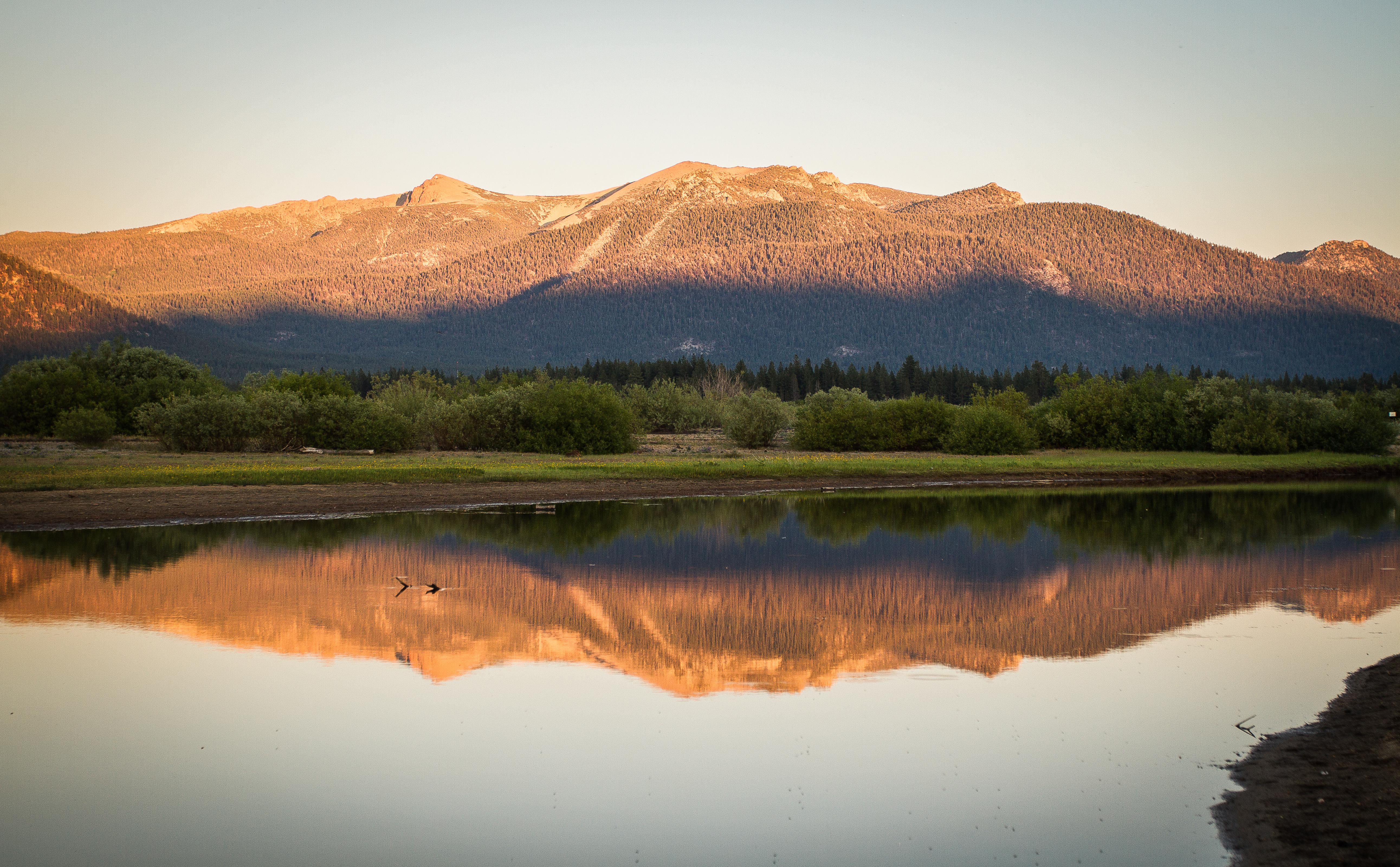
Freel Peak Last Light

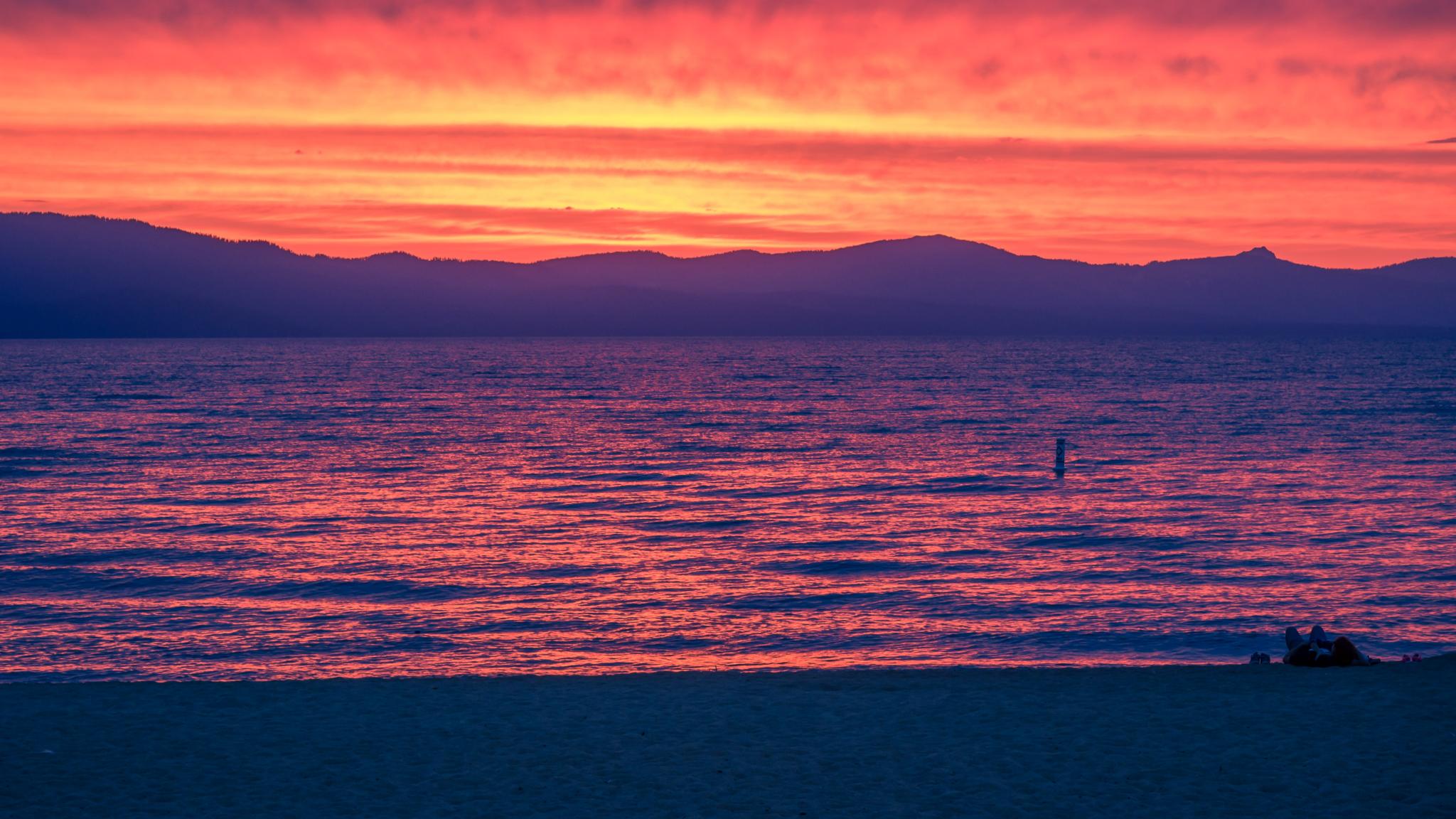
Sunset South Lake Tahoe
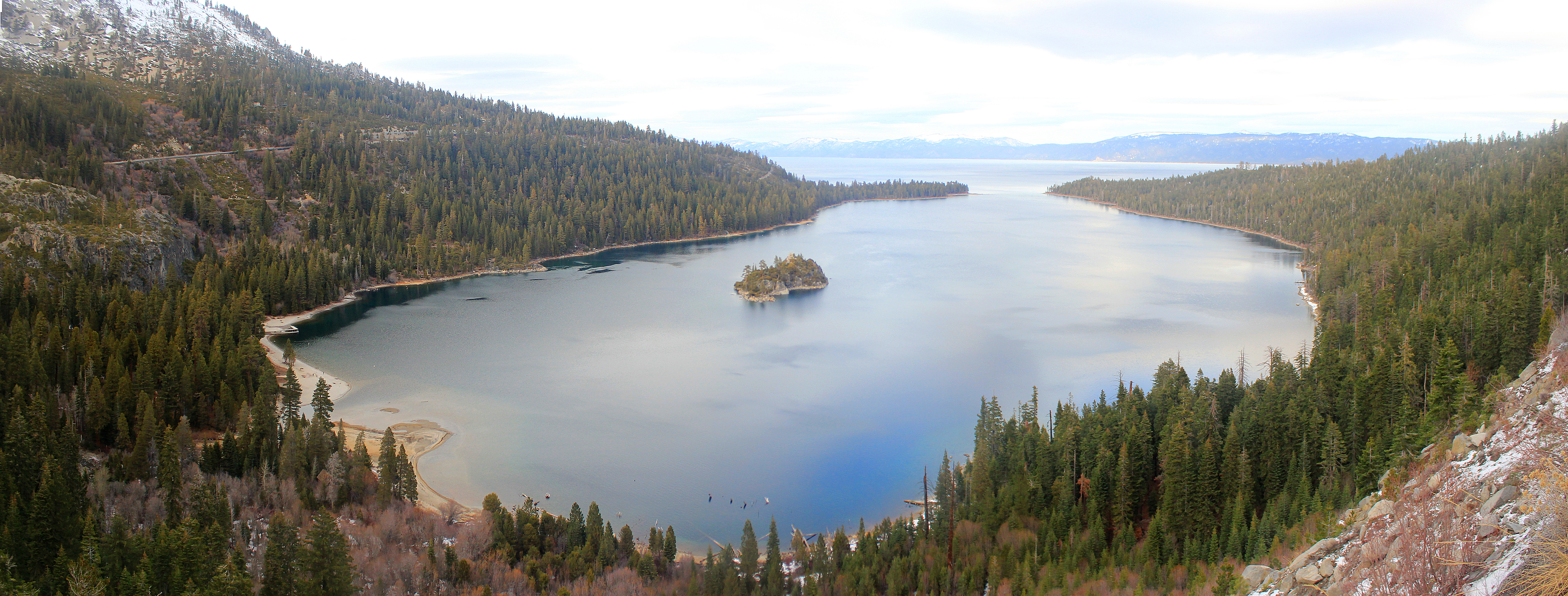
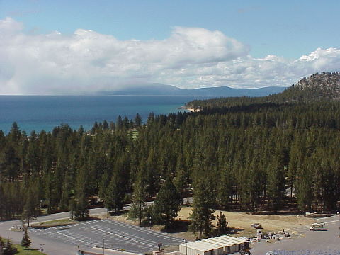
Lake Tahoe
California 2014, South Lake Tahoe
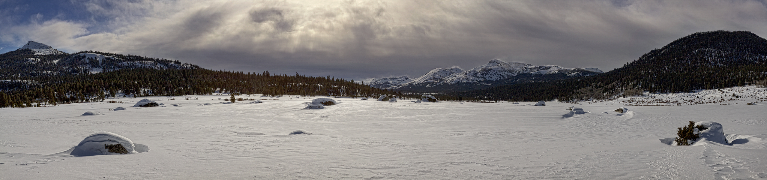
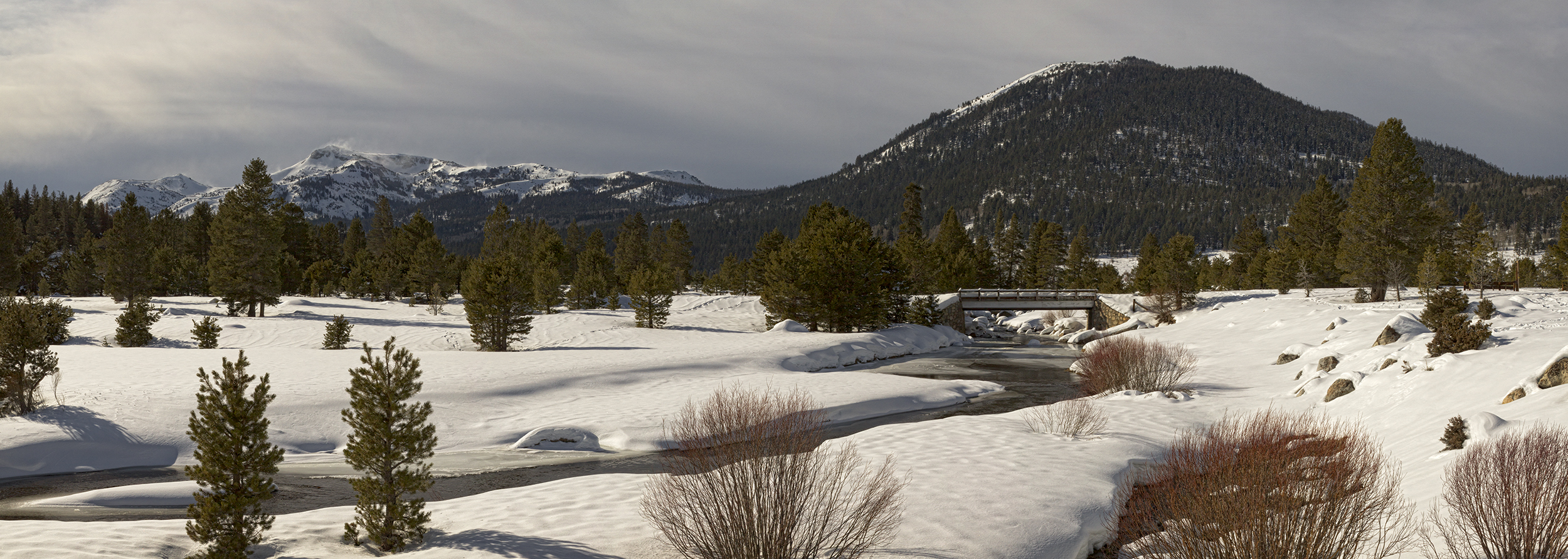
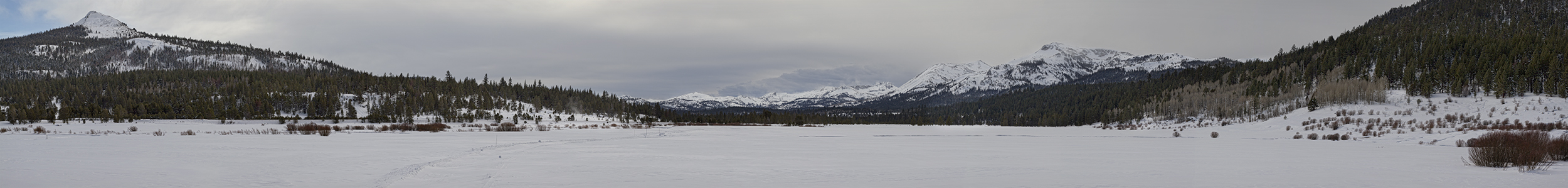
Snowy Landscape Panorama
Snowy Bridge Panorama
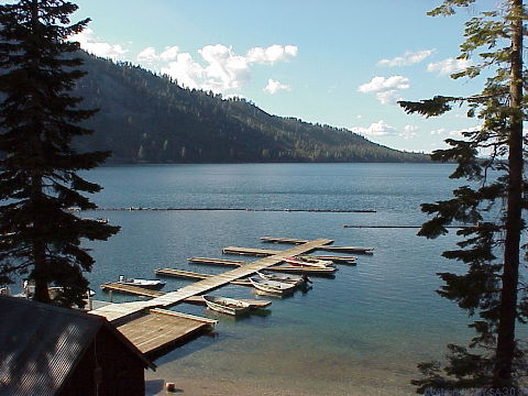
View of Fallen Leaf Lake
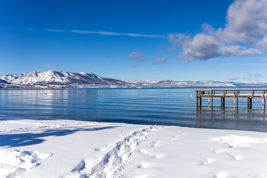
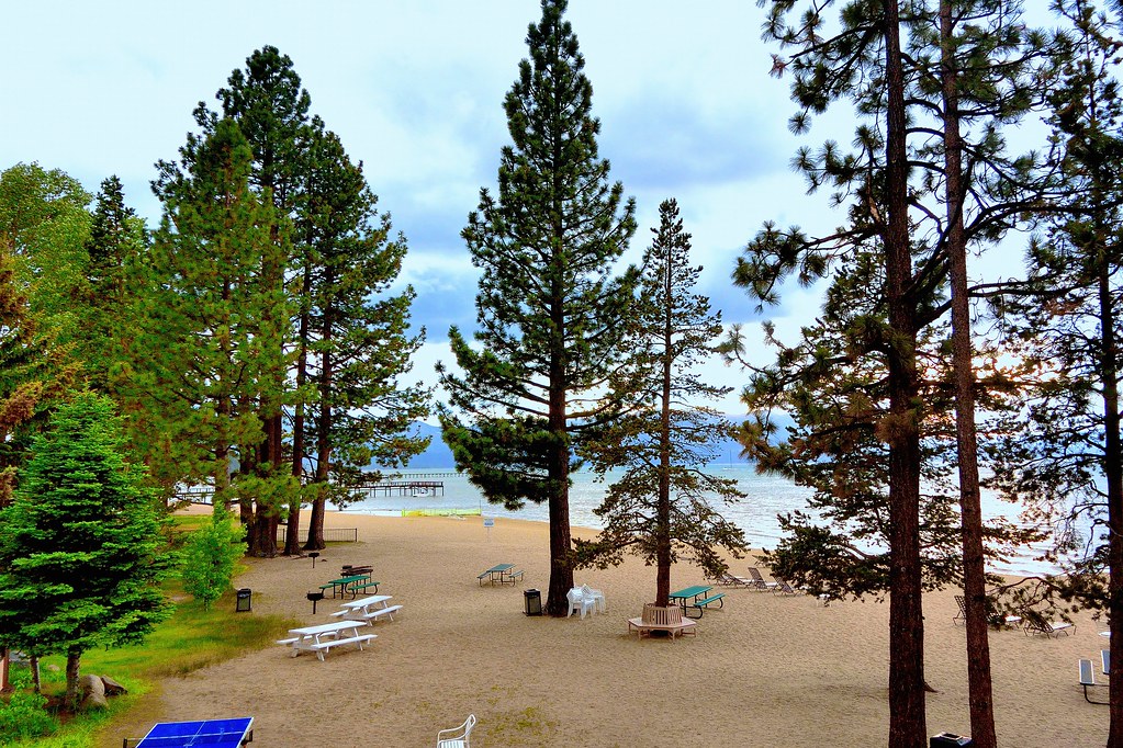
Sunny day at Lake Tahoe.
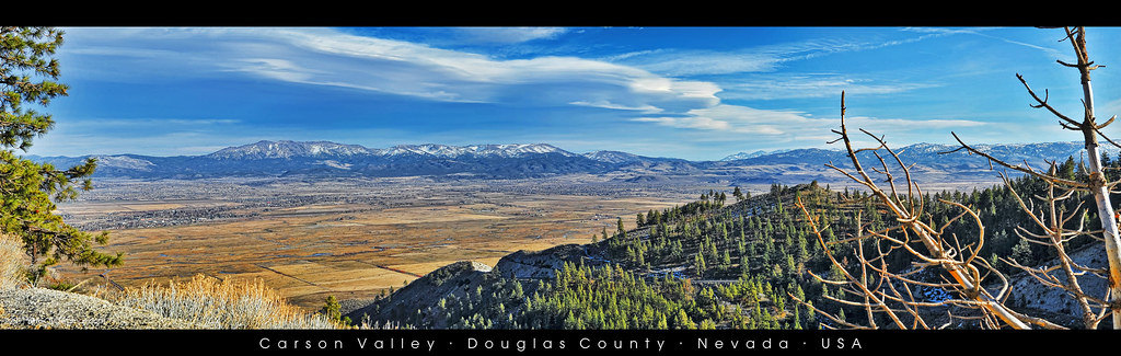
Kingsbury Grade - Carson Valley
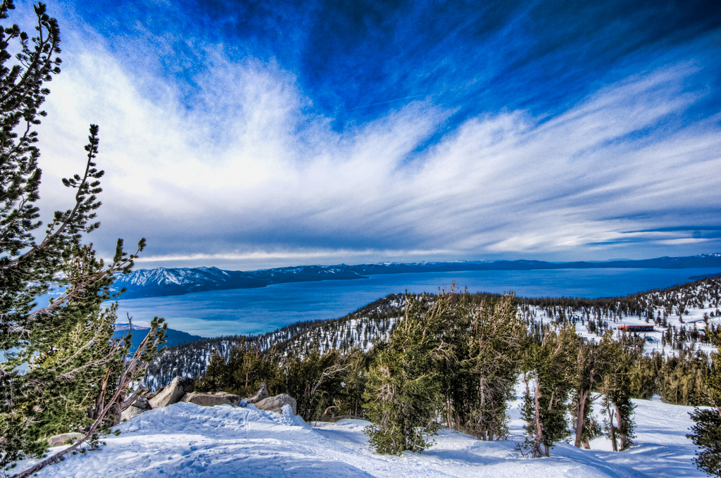
View of Lake Tahoe
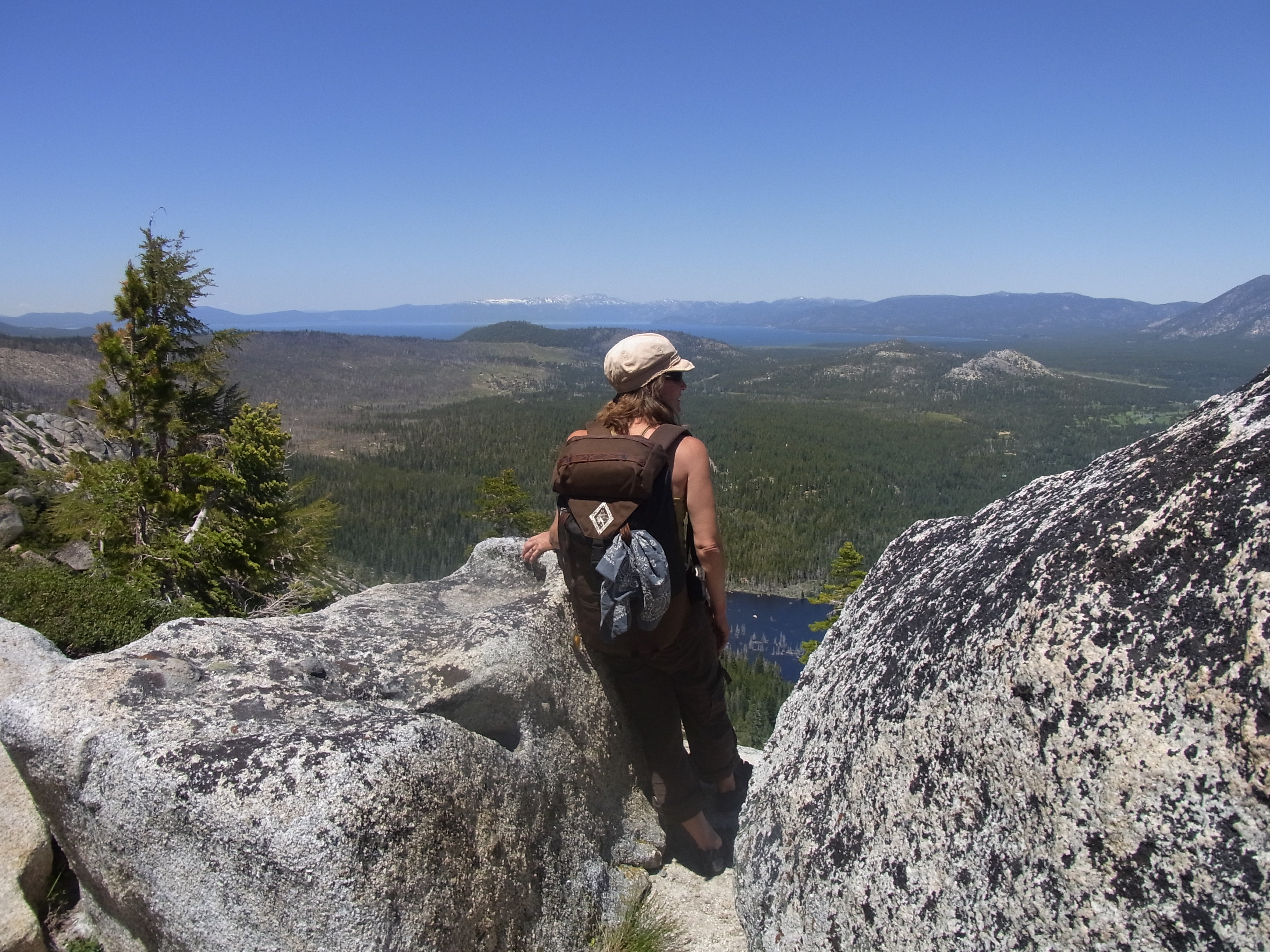
One Last Look
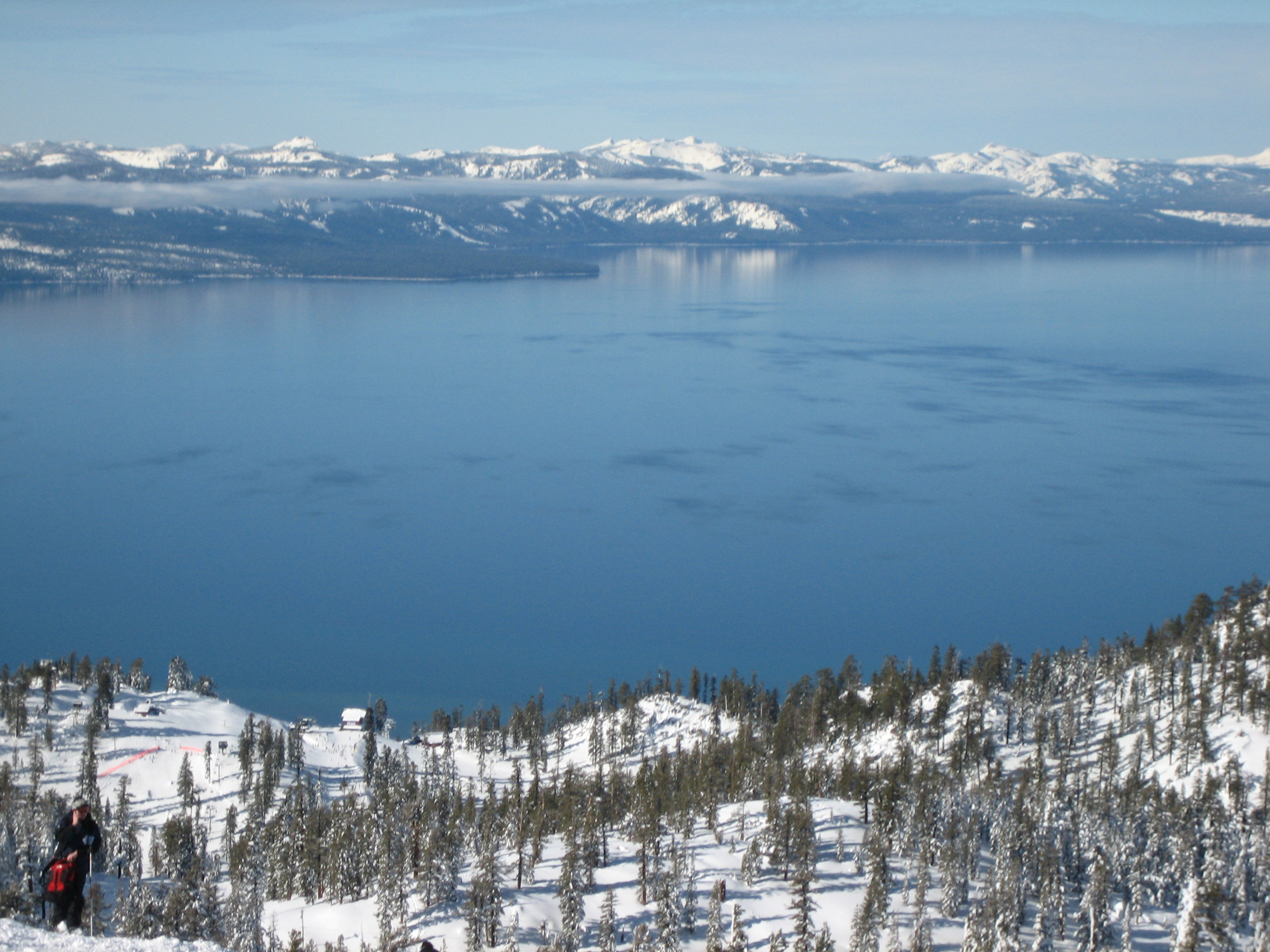
Tahoe from Heavenly
Lake Tahoe
Lake Tahoe View
The View from My Room

Feeding the birds
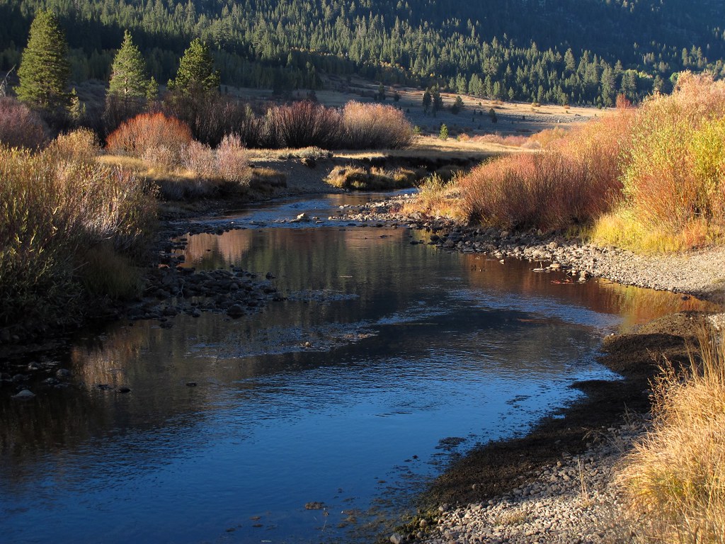
Stream of Dreams
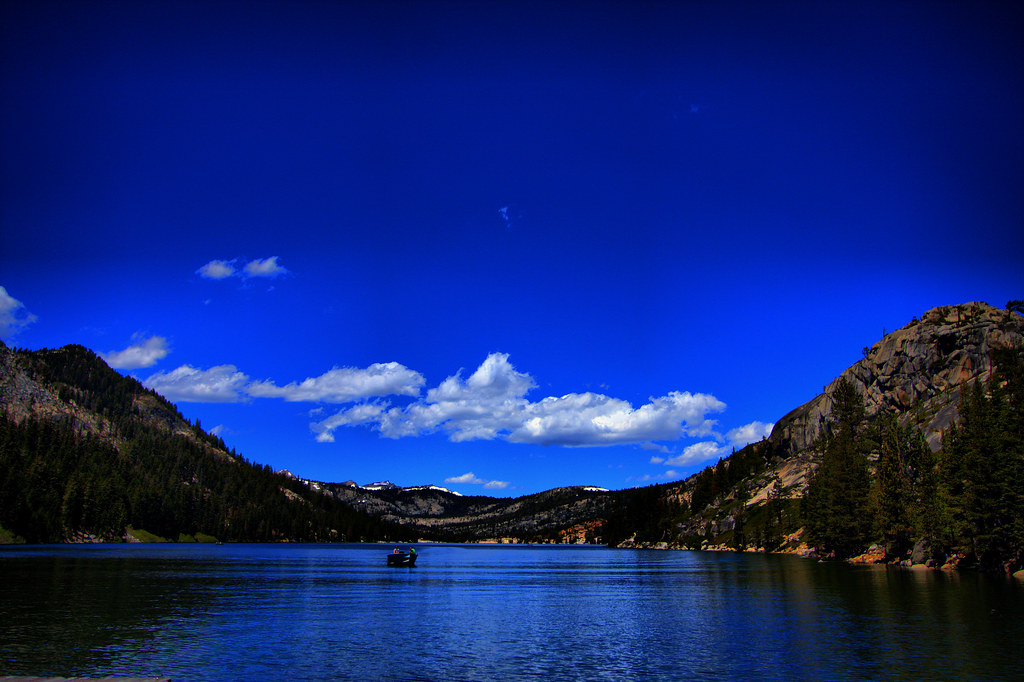
Echo Lake
Split Fence [L&D 9/10]
The View Beyond
Lake Tahoe
Topographic Map of Jobs Sister, California, USA
Find elevation by address:

Places near Jobs Sister, California, USA:
Freel Peak
Monument Peak
East Peak
2256 Lupine Trail
2566 Del Norte St
Heavenly Mountain Resort
3901 Saddle Rd
1468 Ski Run Blvd
3821 Needle Peak Rd
472 Needle Peak Rd
1466 Frontier Ct
400 Ridge Club Dr
455 Tramway Dr
400 Ridge Club Dr
Heavenly Mountain Resort
1832 Jicarilla Dr
333 Tramway Dr
333 Tramway Dr
1815 Hekpa Dr
281 Orion Ln
Recent Searches:
- Elevation of Corso Fratelli Cairoli, 35, Macerata MC, Italy
- Elevation of Tallevast Rd, Sarasota, FL, USA
- Elevation of 4th St E, Sonoma, CA, USA
- Elevation of Black Hollow Rd, Pennsdale, PA, USA
- Elevation of Oakland Ave, Williamsport, PA, USA
- Elevation of Pedrógão Grande, Portugal
- Elevation of Klee Dr, Martinsburg, WV, USA
- Elevation of Via Roma, Pieranica CR, Italy
- Elevation of Tavkvetili Mountain, Georgia
- Elevation of Hartfords Bluff Cir, Mt Pleasant, SC, USA