Elevation of Jinomori-48-11 Ōfunatochō, Ōfunato-shi, Iwate-ken -, Japan
Location: Japan > Iwate Prefecture > Ofunato >
Longitude: 141.716801
Latitude: 39.0715137
Elevation: 7m / 23feet
Barometric Pressure: 101KPa
Elevation Map:
Satellite Map:
Related Photos:

The Rikuzentakata Miracle Pine

View from Yonezawa Shokai, Rikuzentakata 陸前高田市 米沢商会
碁石海岸 - The shore and the Pacific.
View from Yonezawa Shokai, Rikuzentakata 陸前高田市 米沢商会
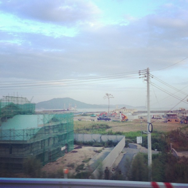
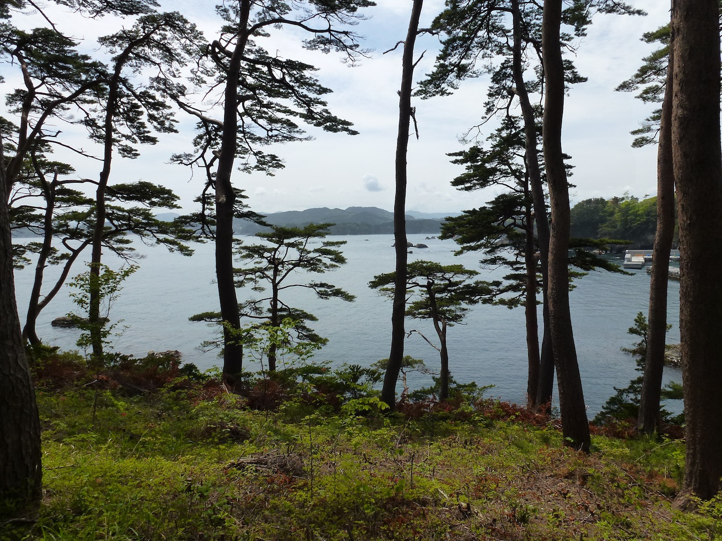
View from Shinto shrine, Ofunato
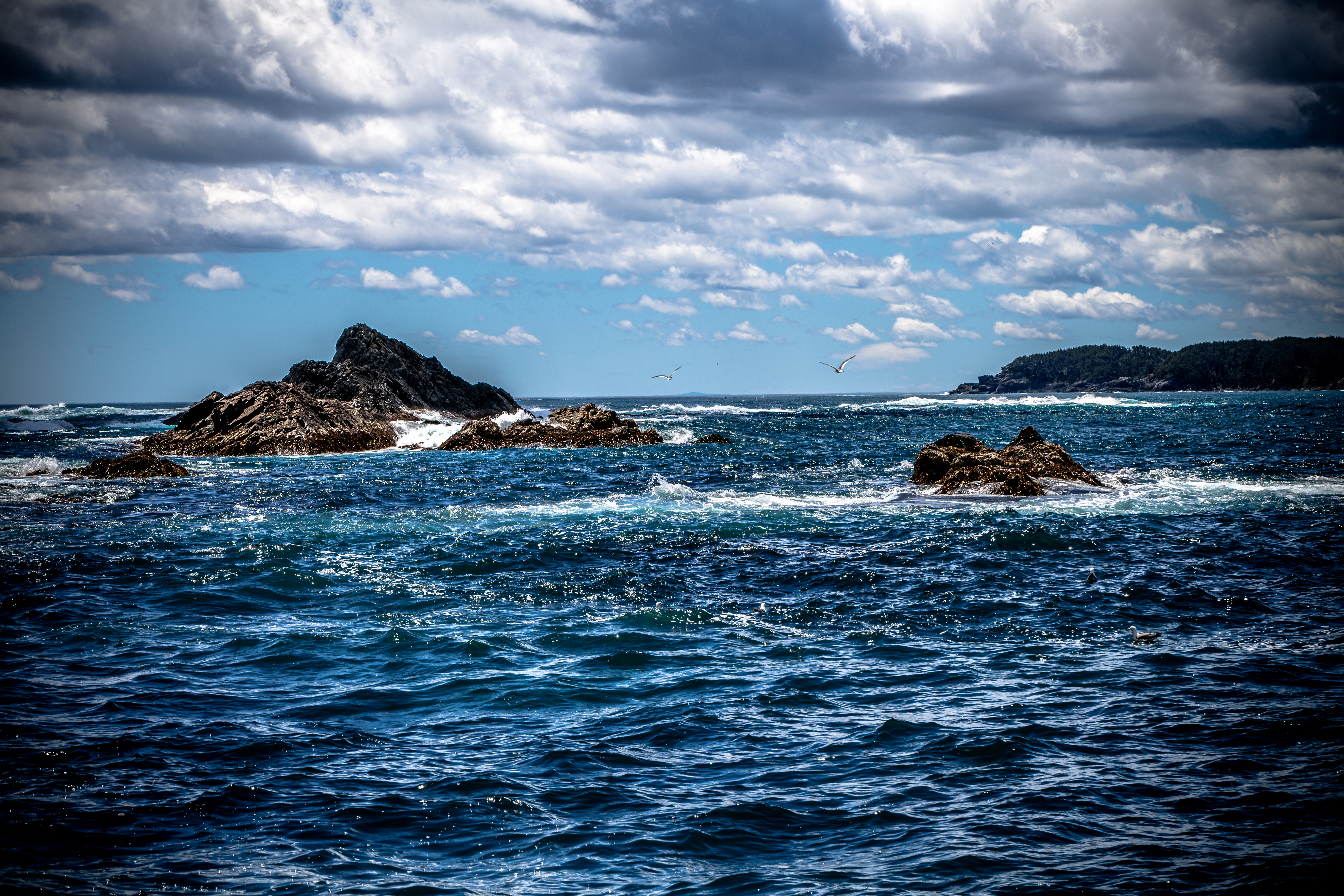
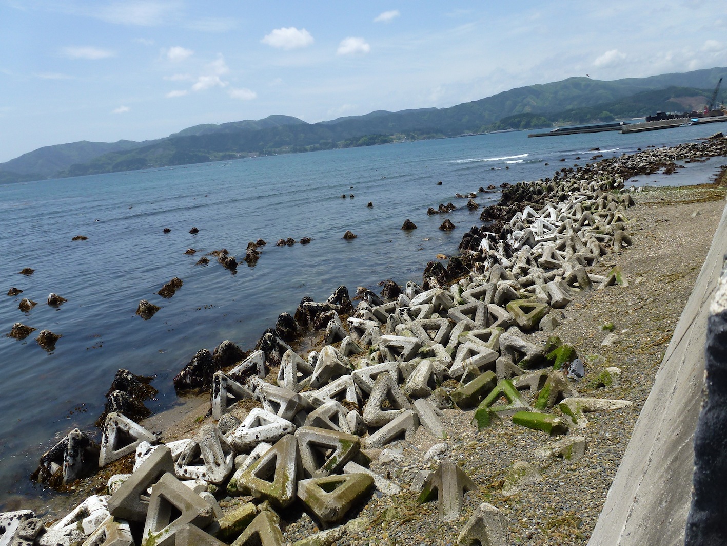
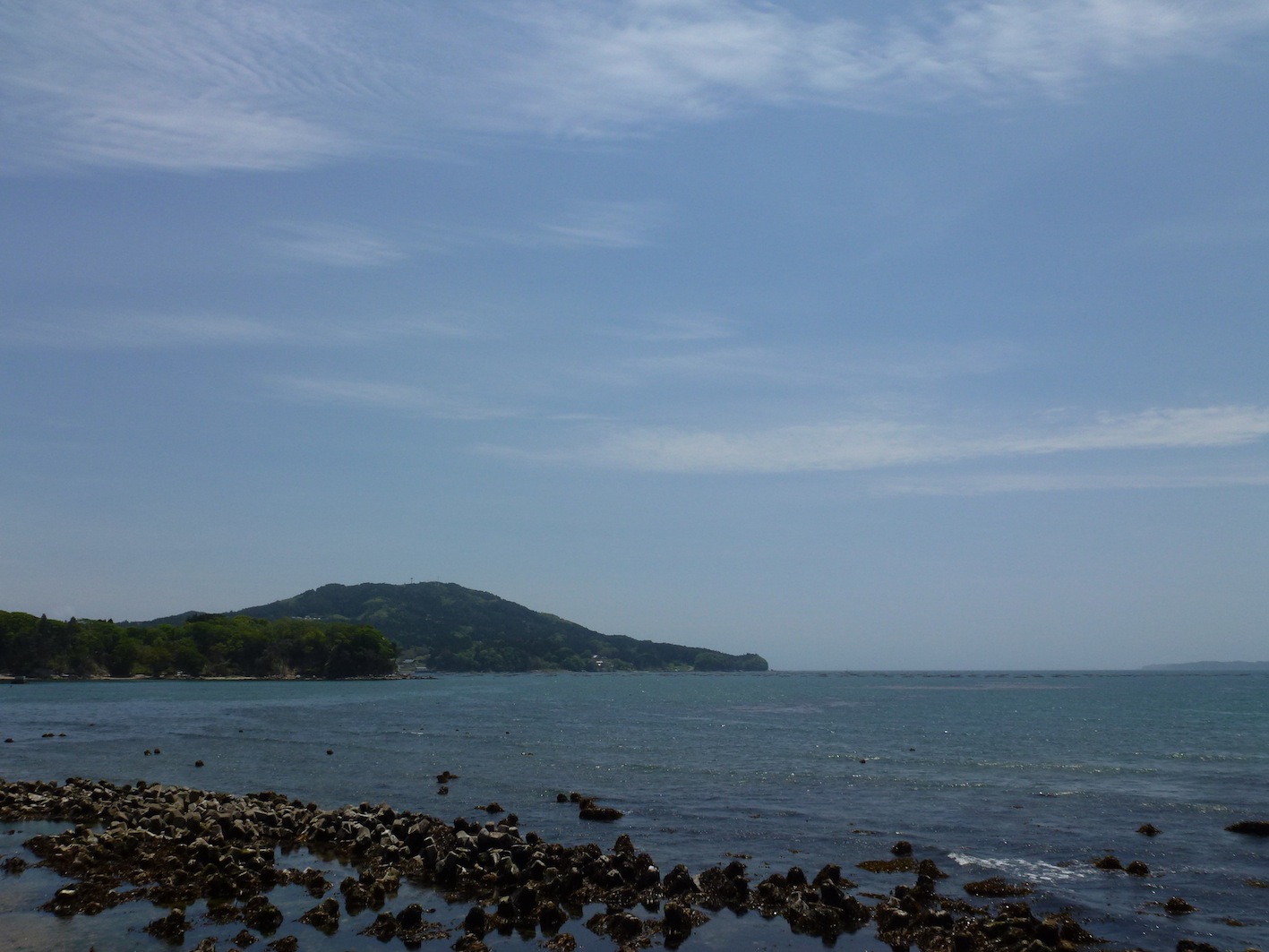
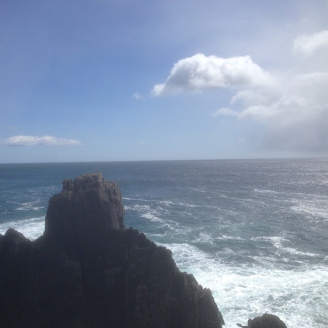
Goishi Coast
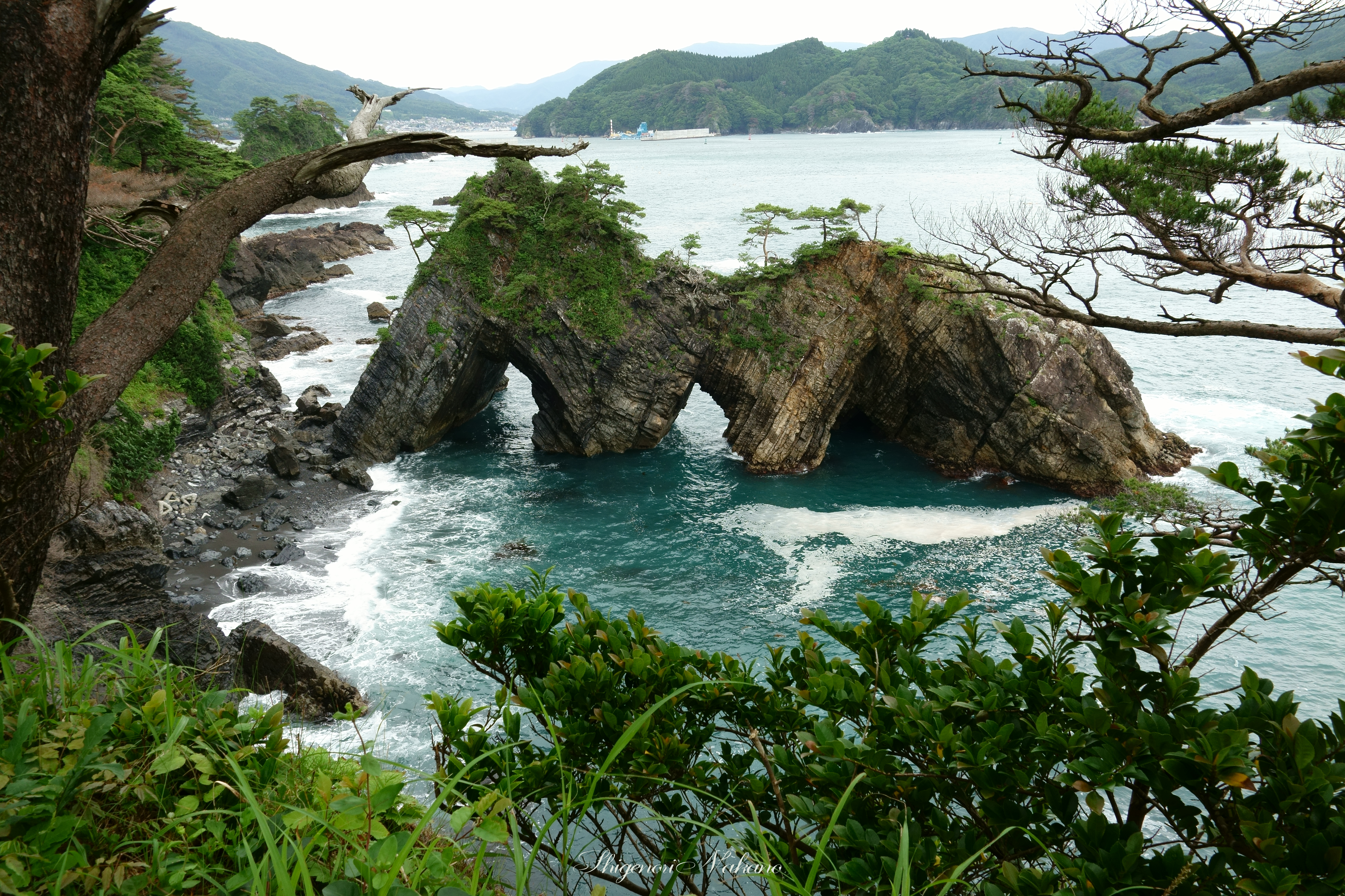
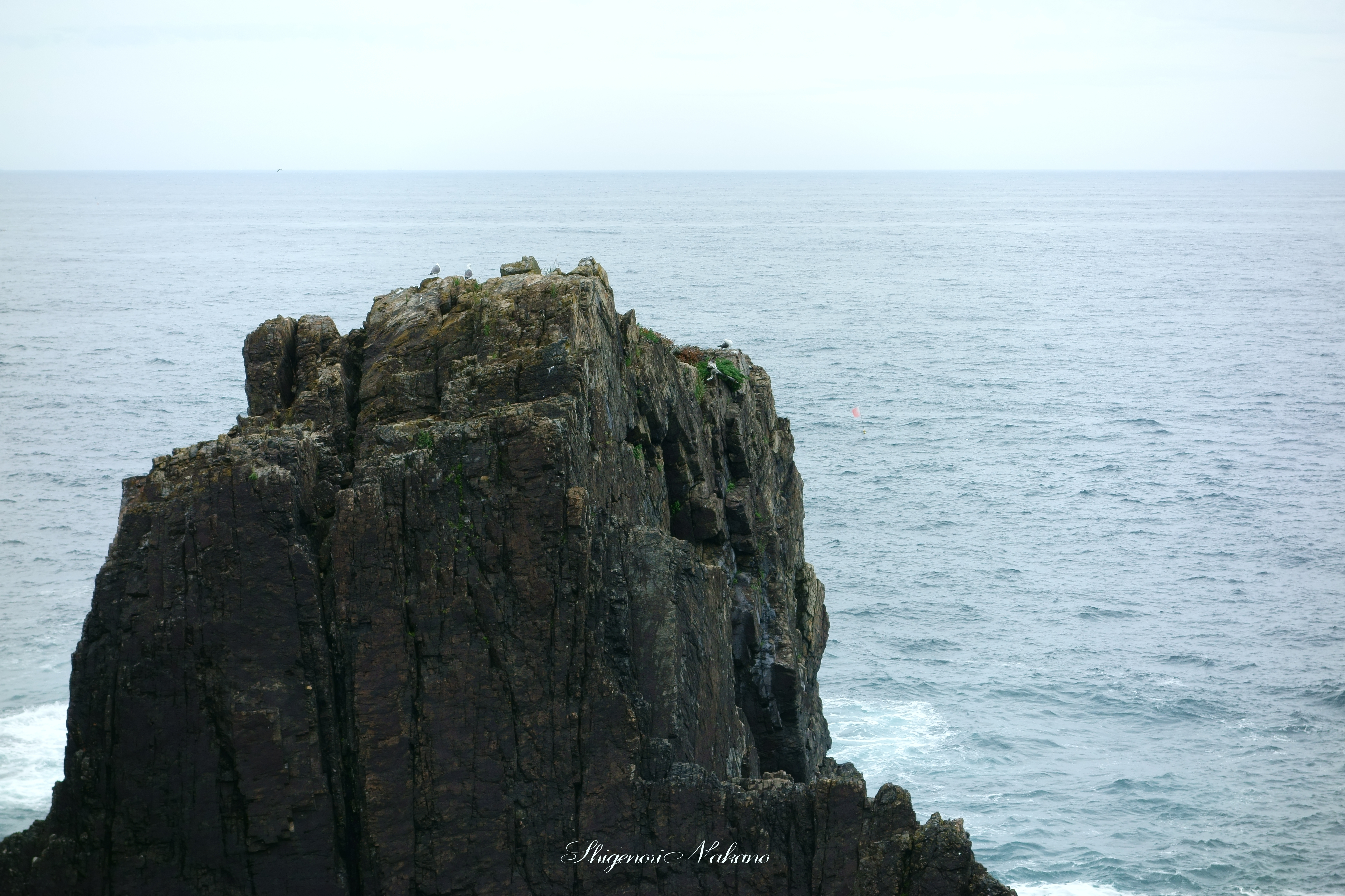
穴通磯 - Strangely shaped rocks "Anatoshi-iso"
キャピタルホテル
高田
280513 Rikuzentakata, Iwate prefecture, Japan

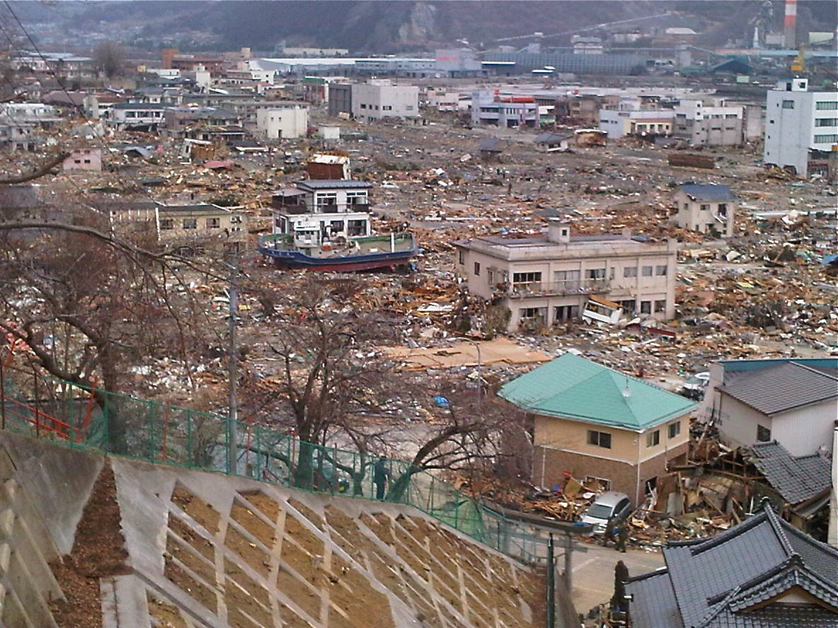
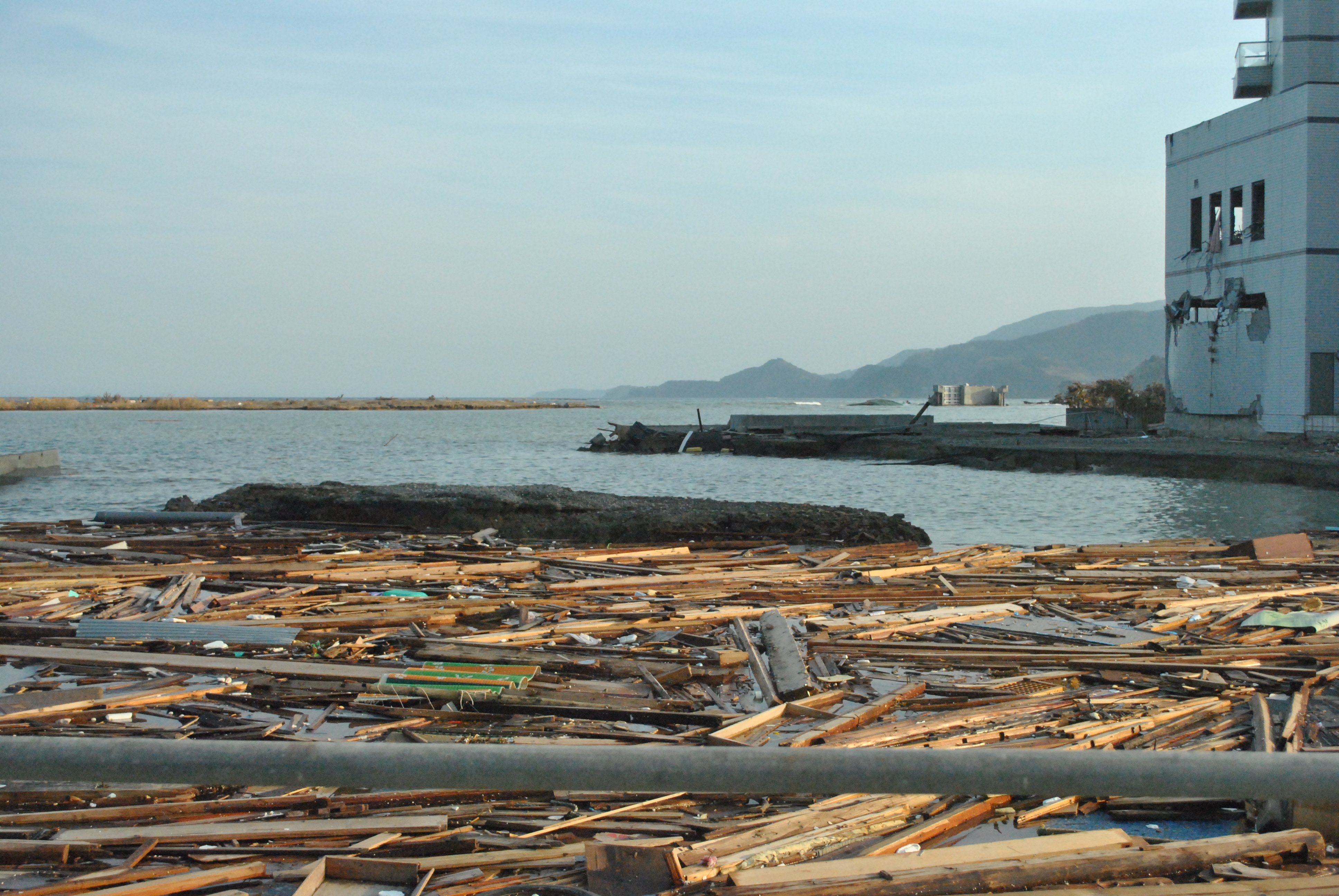
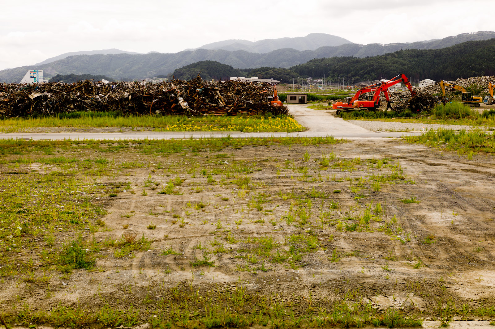
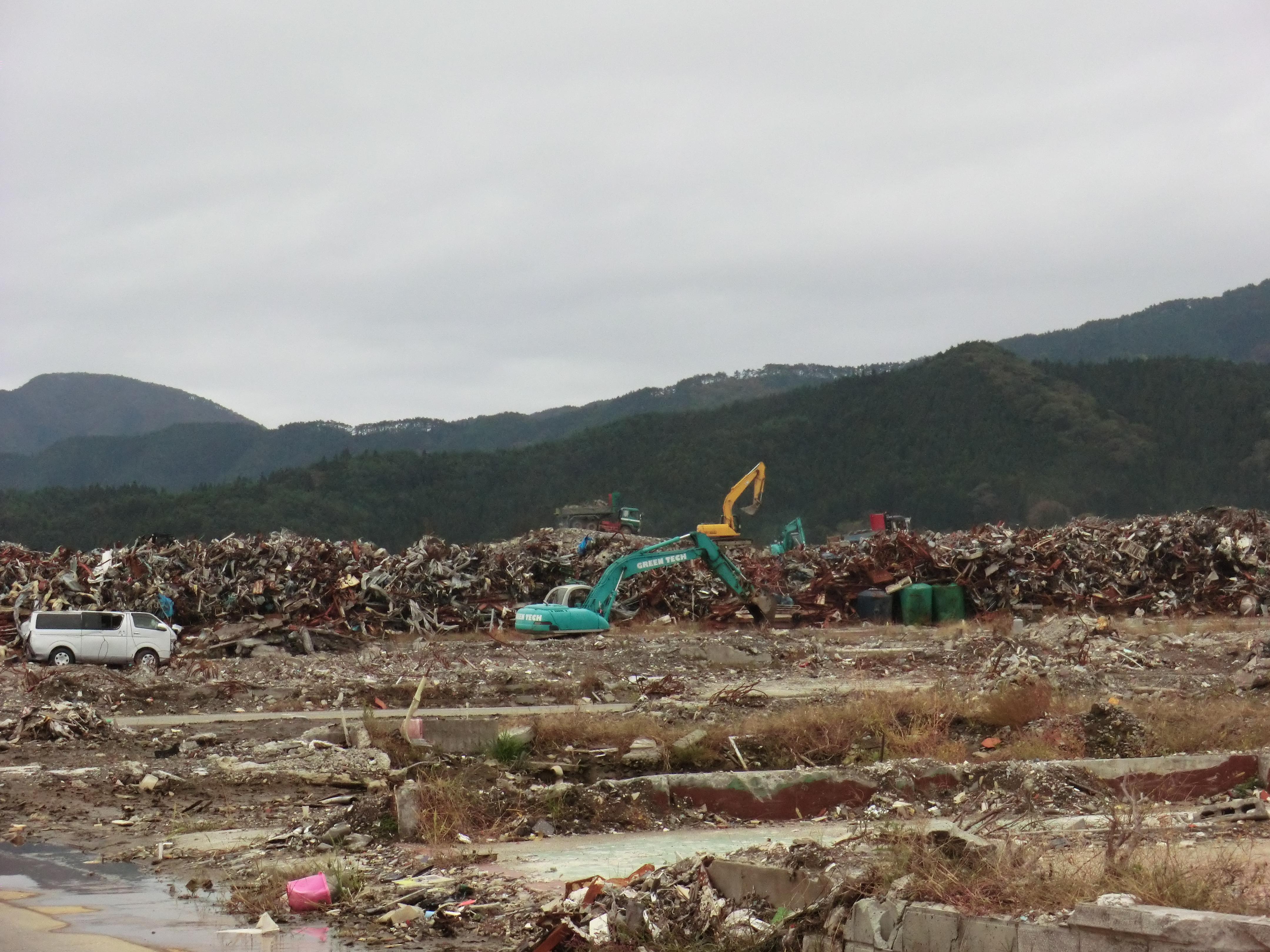
120324 ruins
奇跡の一本満足
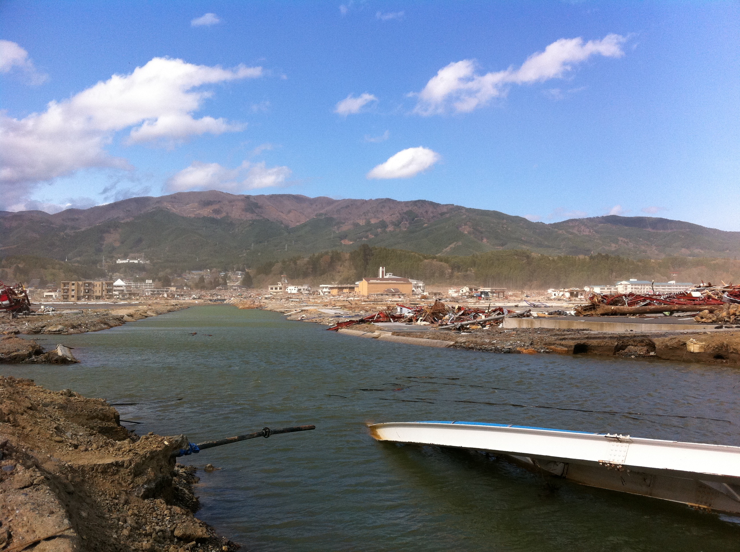
Rikuzen-Takata | The second summer from tsunami

陸前高田

_DSC2840.jpg
280513 Rikuzentakata, Iwate prefecture, Japan
280513 Rizentakata, Iwate prefecture, Japan

行方不明者の捜索
CIMG1296.JPG
道の駅 高田松原付近から望んだ陸前高田市内中心部
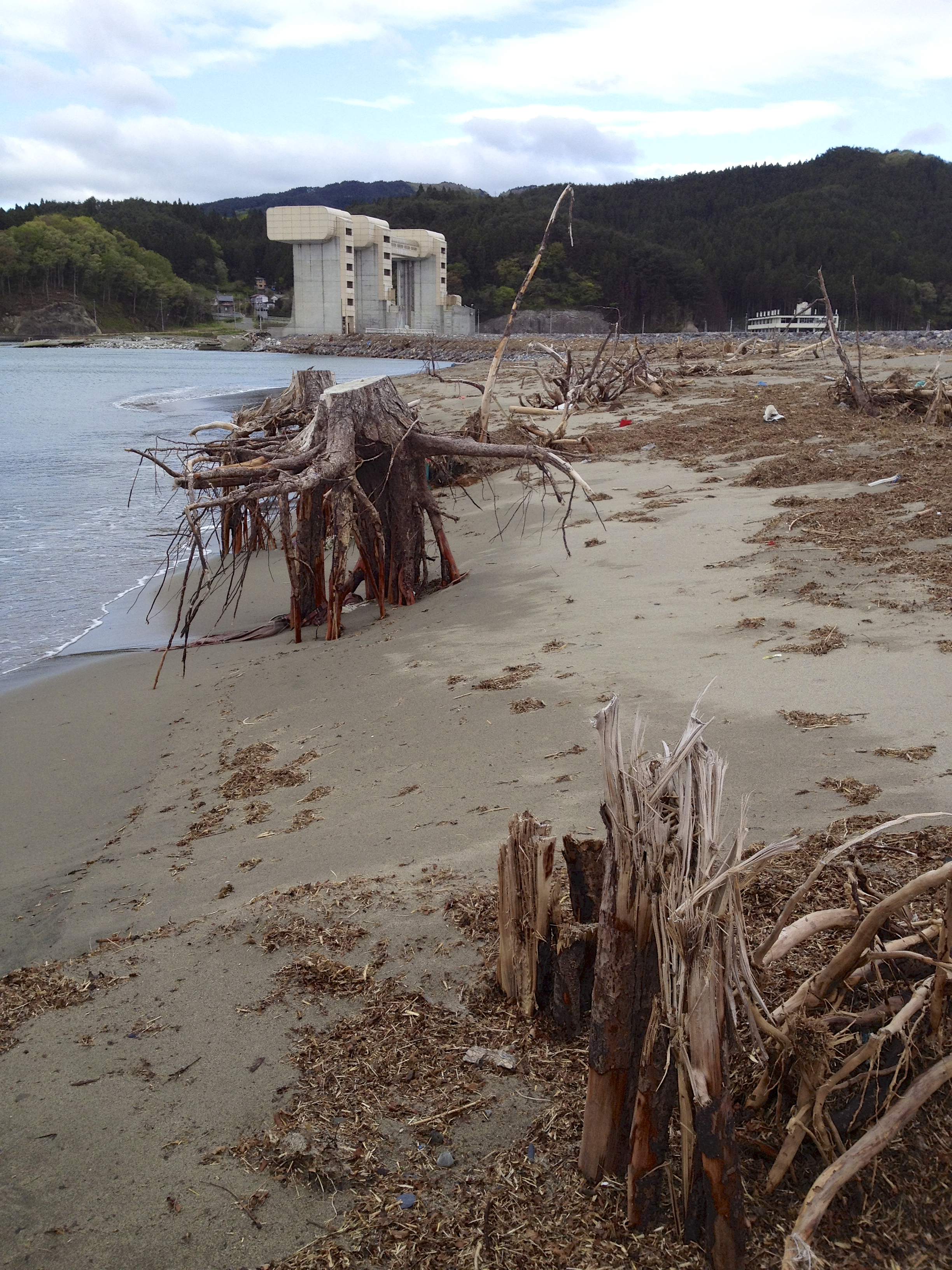
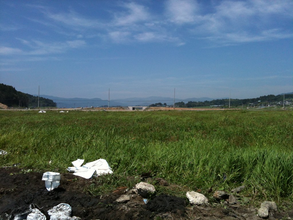
高田松原跡
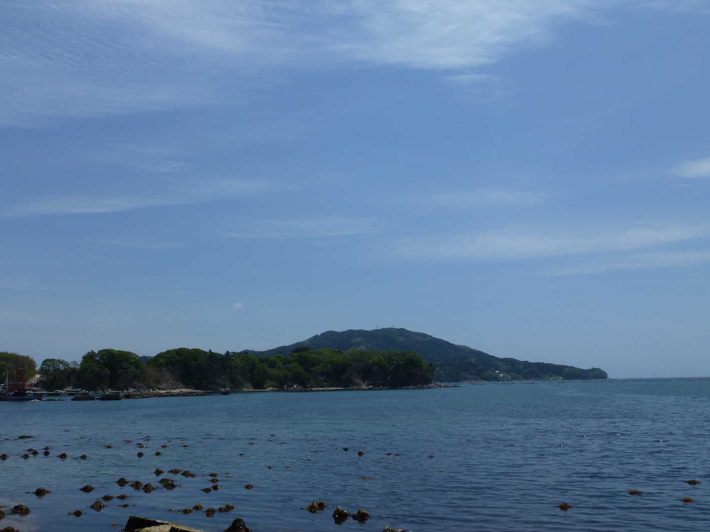
碁石岬
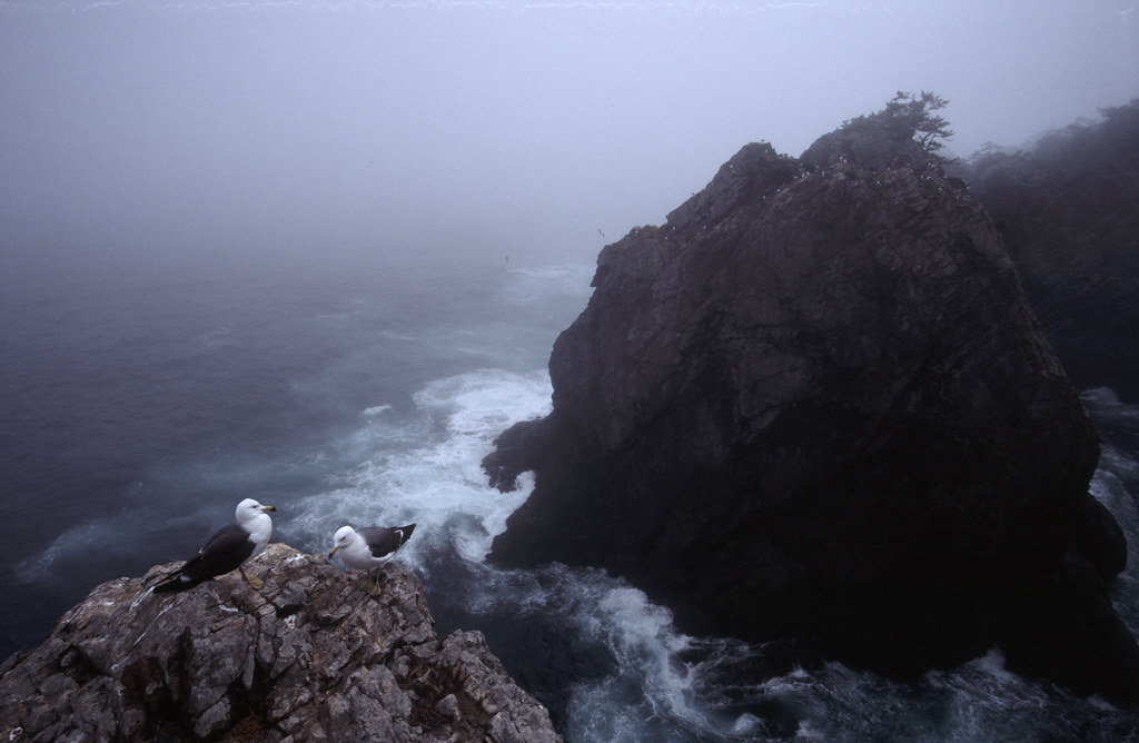
Sea Gulls in Fog
太平洋!
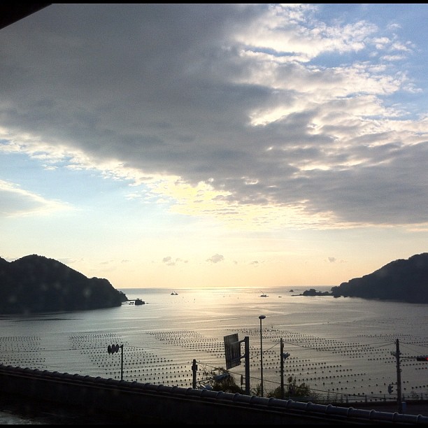
窓から

280513 Goishi Coast, Iwate prefecture, Japan
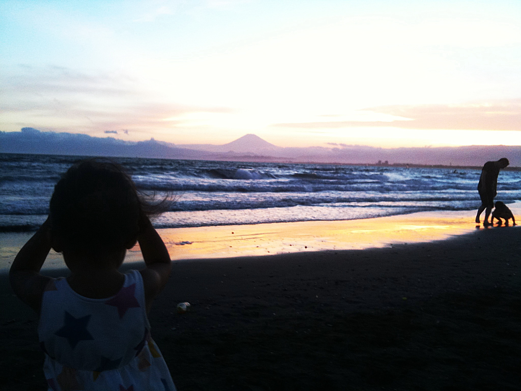
Mt.Fuji from syonan
280513 Goishi Coast, Iwate prefecture, Japan
Topographic Map of Jinomori-48-11 Ōfunatochō, Ōfunato-shi, Iwate-ken -, Japan
Find elevation by address:

Places near Jinomori-48-11 Ōfunatochō, Ōfunato-shi, Iwate-ken -, Japan:
Ofunato
Ōhatano-88 Takkonchō, Ōfunato-shi, Iwate-ken -, Japan
Rikuzentakata
Ushirohanagai--17 Hirotachō, Rikuzentakata-shi, Iwate-ken -, Japan
Nakai- Kesenchō, Rikuzentakata-shi, Iwate-ken -, Japan
Nakazawa-80-12 Hirotachō, Rikuzentakata-shi, Iwate-ken -, Japan
Sumita
Amakaze-2-4 Setamai, Sumita-chō, Kesen-gun, Iwate-ken -, Japan
Nakagami-14 Shimoarisu, Sumita-chō, Kesen-gun, Iwate-ken -, Japan
-6 Karakuwachō Nakai, Kesennuma-shi, Miyagi-ken -, Japan
Kesen District
8-25 Uoichibamae, Kesennuma-shi, Miyagi-ken -, Japan
Kesennuma
18 Chiwari-11 Kamigōchō Hosogoe, Tōno-shi, Iwate-ken -, Japan
Dai, Kesennuma-shi, Miyagi-ken -, Japan
2 Chome-3-1 Chidorichō, Kamaishi-shi, Iwate-ken -, Japan
Kamaishi
1 Chome-4-1 Hamachō
45 Akaiwaōishikura, Kesennuma-shi, Miyagi-ken -, Japan
Dai 21 Chiwari Kozuchi
Recent Searches:
- Elevation of Zimmer Trail, Pennsylvania, USA
- Elevation of 87 Kilmartin Ave, Bristol, CT, USA
- Elevation of Honghe National Nature Reserve, QP95+PJP, Tongjiang, Heilongjiang, Jiamusi, Heilongjiang, China
- Elevation of Hercules Dr, Colorado Springs, CO, USA
- Elevation of Szlak pieszy czarny, Poland
- Elevation of Griffing Blvd, Biscayne Park, FL, USA
- Elevation of Kreuzburger Weg 13, Düsseldorf, Germany
- Elevation of Gateway Blvd SE, Canton, OH, USA
- Elevation of East W.T. Harris Boulevard, E W.T. Harris Blvd, Charlotte, NC, USA
- Elevation of West Sugar Creek, Charlotte, NC, USA