Elevation of Jim Wells County, TX, USA
Location: United States > Texas >
Longitude: -98.046518
Latitude: 27.7841718
Elevation: 61m / 200feet
Barometric Pressure: 101KPa
Elevation Map:
Satellite Map:
Related Photos:

okay, i have problems seeing when it's dark...
72 of 365

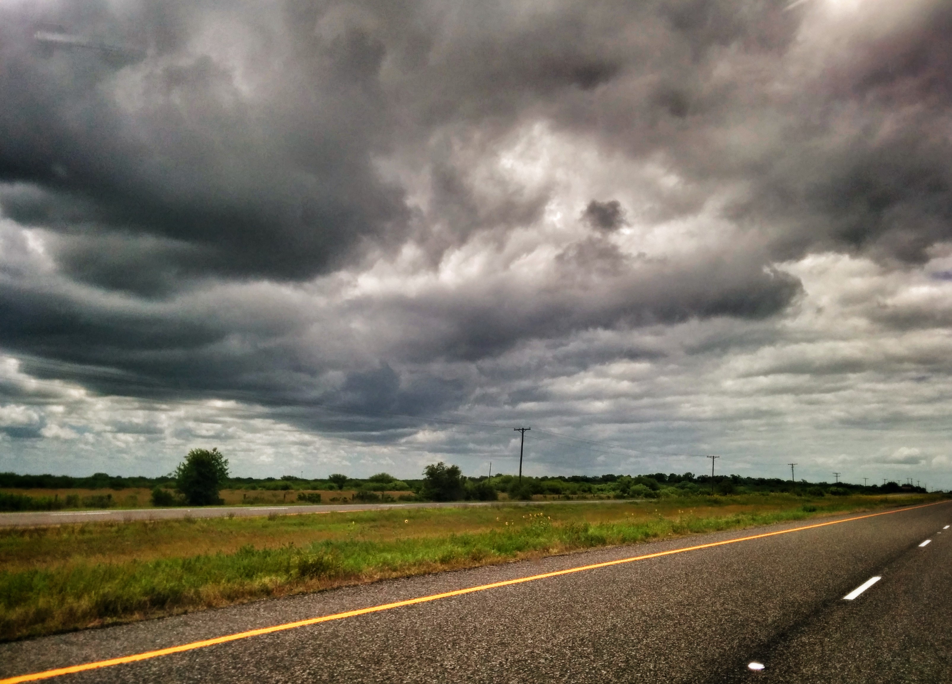
Sunflower and Rain

Templo-Luz Divina, Texas 44, Alice, TX 78332

#Oma in my #CitySlicker #NYC jacket. #LunchDate w/#Tante Barb #Onkel Donny & Nana before heading back to #Austin. #Alice #South #Texas
Topographic Map of Jim Wells County, TX, USA
Find elevation by address:

Places in Jim Wells County, TX, USA:
Places near Jim Wells County, TX, USA:
2965 E Main St
4002 Ruth Cir
4002 Ruth Cir
4002 Ruth Cir
4002 Ruth Cir
4002 Ruth Cir
4002 Ruth Cir
1324 Lincoln St
Alice
1130 Orange
Co Rd, Alice, TX, USA
227 Co Rd 157
227 Co Rd 157
227 Co Rd 157
227 Co Rd 157
1002 4th St
1106 3rd St
Agua Dulce
Co Rd, Orange Grove, TX, USA
San Diego
Recent Searches:
- Elevation of Corso Fratelli Cairoli, 35, Macerata MC, Italy
- Elevation of Tallevast Rd, Sarasota, FL, USA
- Elevation of 4th St E, Sonoma, CA, USA
- Elevation of Black Hollow Rd, Pennsdale, PA, USA
- Elevation of Oakland Ave, Williamsport, PA, USA
- Elevation of Pedrógão Grande, Portugal
- Elevation of Klee Dr, Martinsburg, WV, USA
- Elevation of Via Roma, Pieranica CR, Italy
- Elevation of Tavkvetili Mountain, Georgia
- Elevation of Hartfords Bluff Cir, Mt Pleasant, SC, USA