Elevation of Jim Fork Township, AR, USA
Location: United States > Arkansas > Sebastian County >
Longitude: -94.346237
Latitude: 35.1261688
Elevation: 154m / 505feet
Barometric Pressure: 99KPa
Elevation Map:
Satellite Map:
Related Photos:
Jesus sacrificed himself to himself to save the world from … himself?
View From the Balcony at My Soon to be New Home
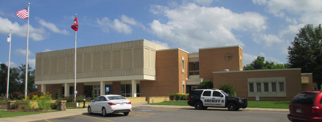
Sebastian County Courthouse (Greenwood, Arkansas)

{tagged in a new way} Part of me becoming a better person is letting go of my black and white world view and embracing shades of grey
New 45 Northbound
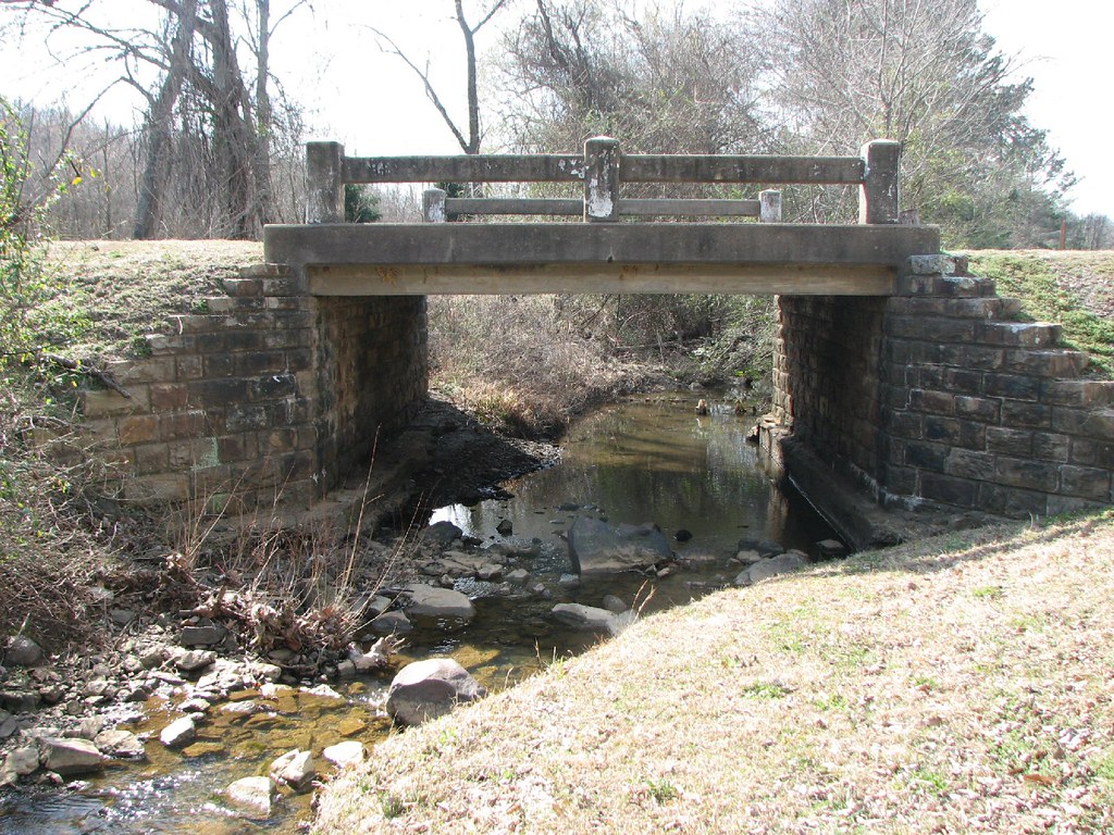
Bear Creek-Side View

Overnight rain
Kenny's Creek
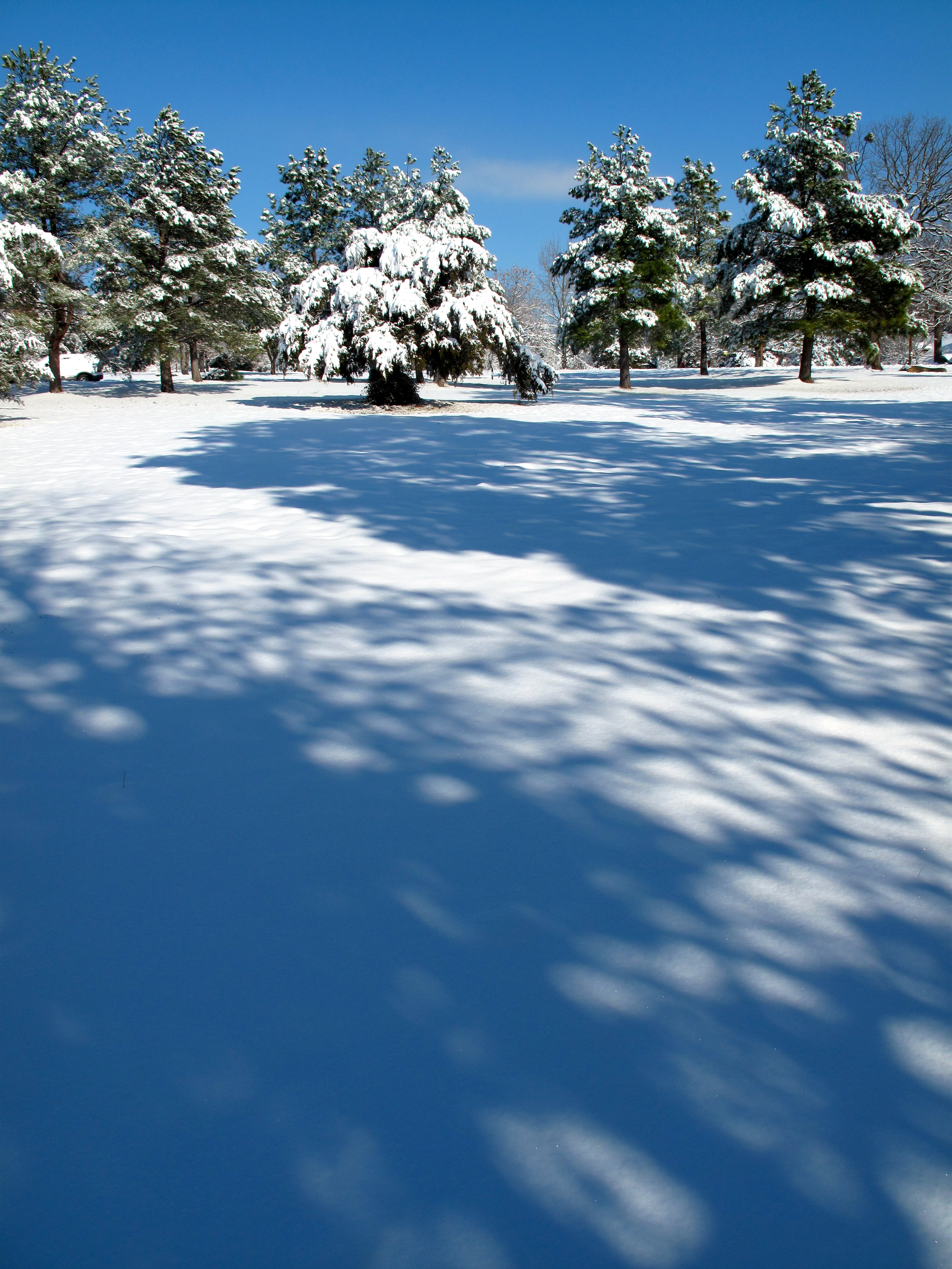
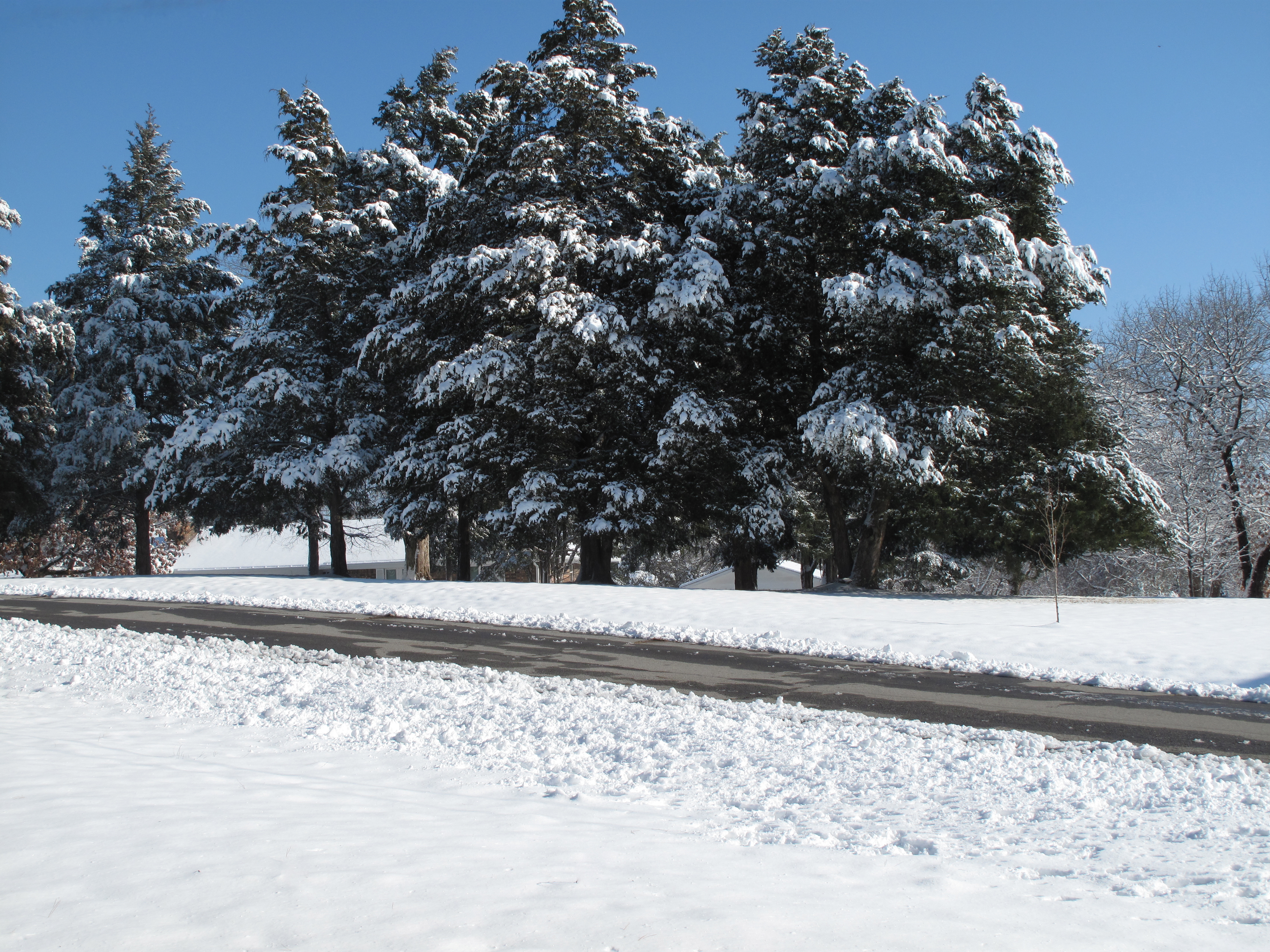
Snow Land

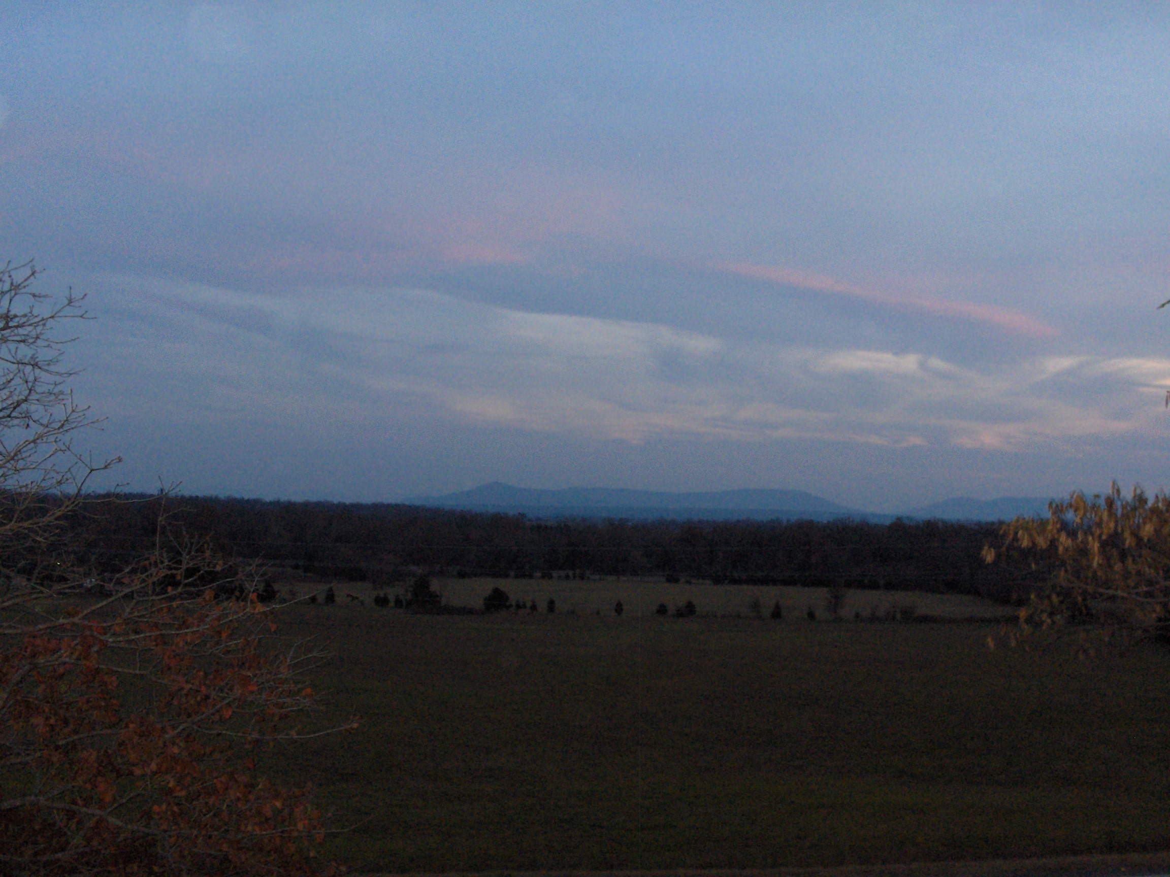
Cotton Candy Sky

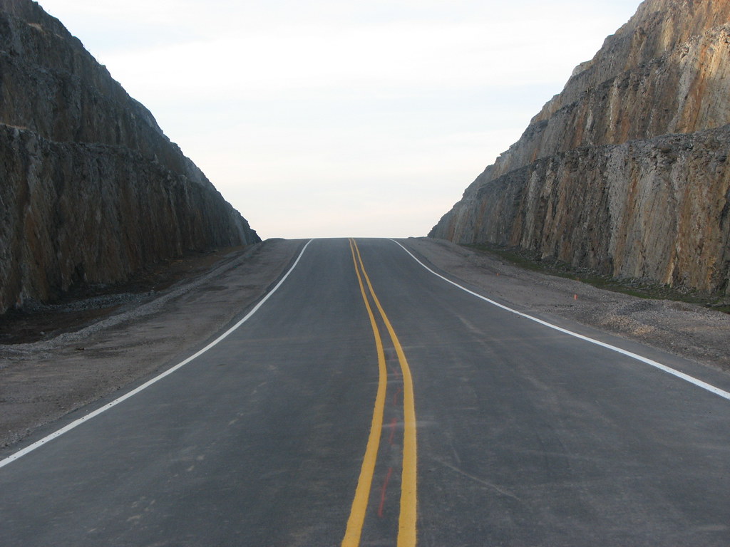
Future Rock Cut?
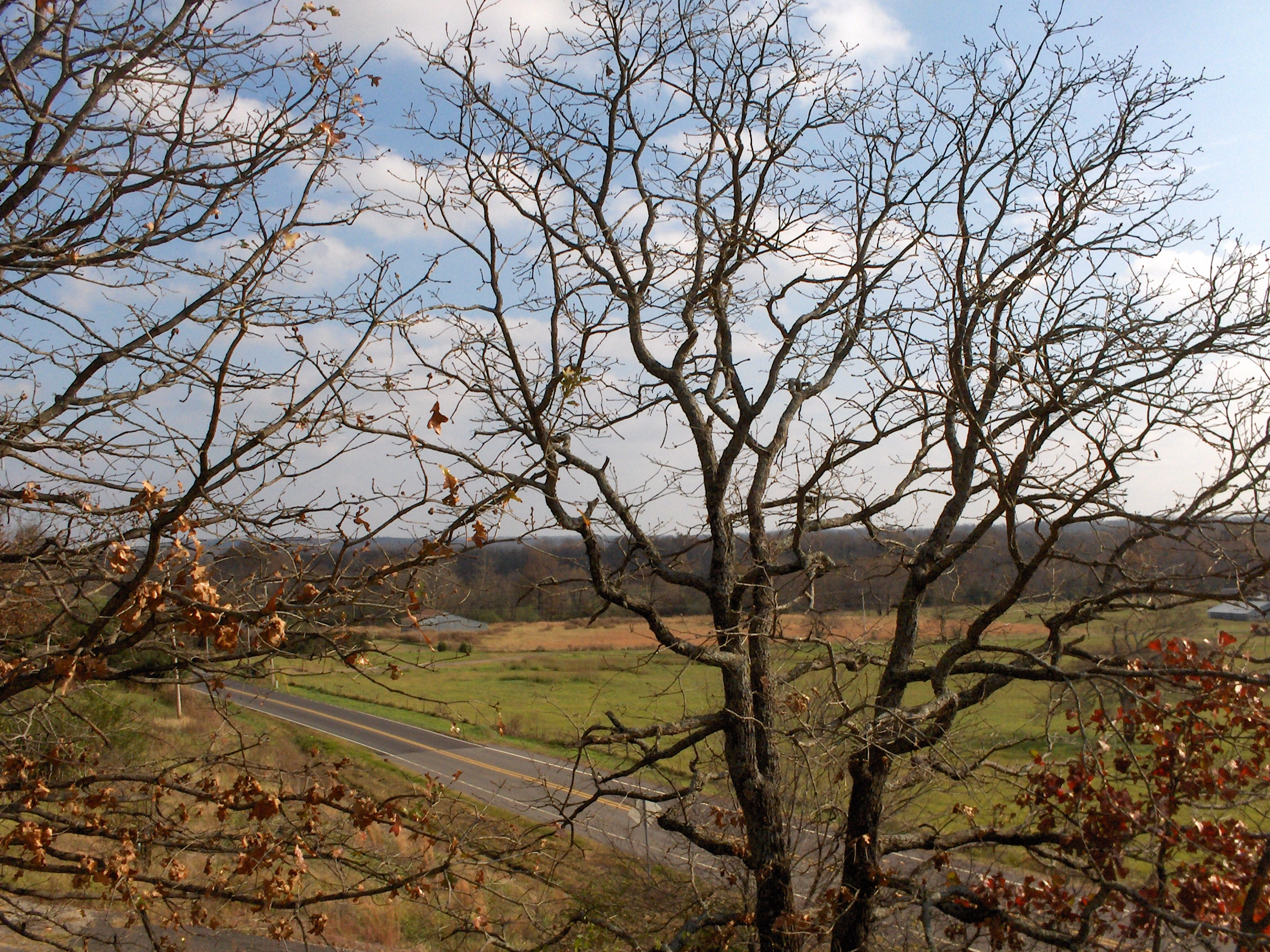
Across the Road
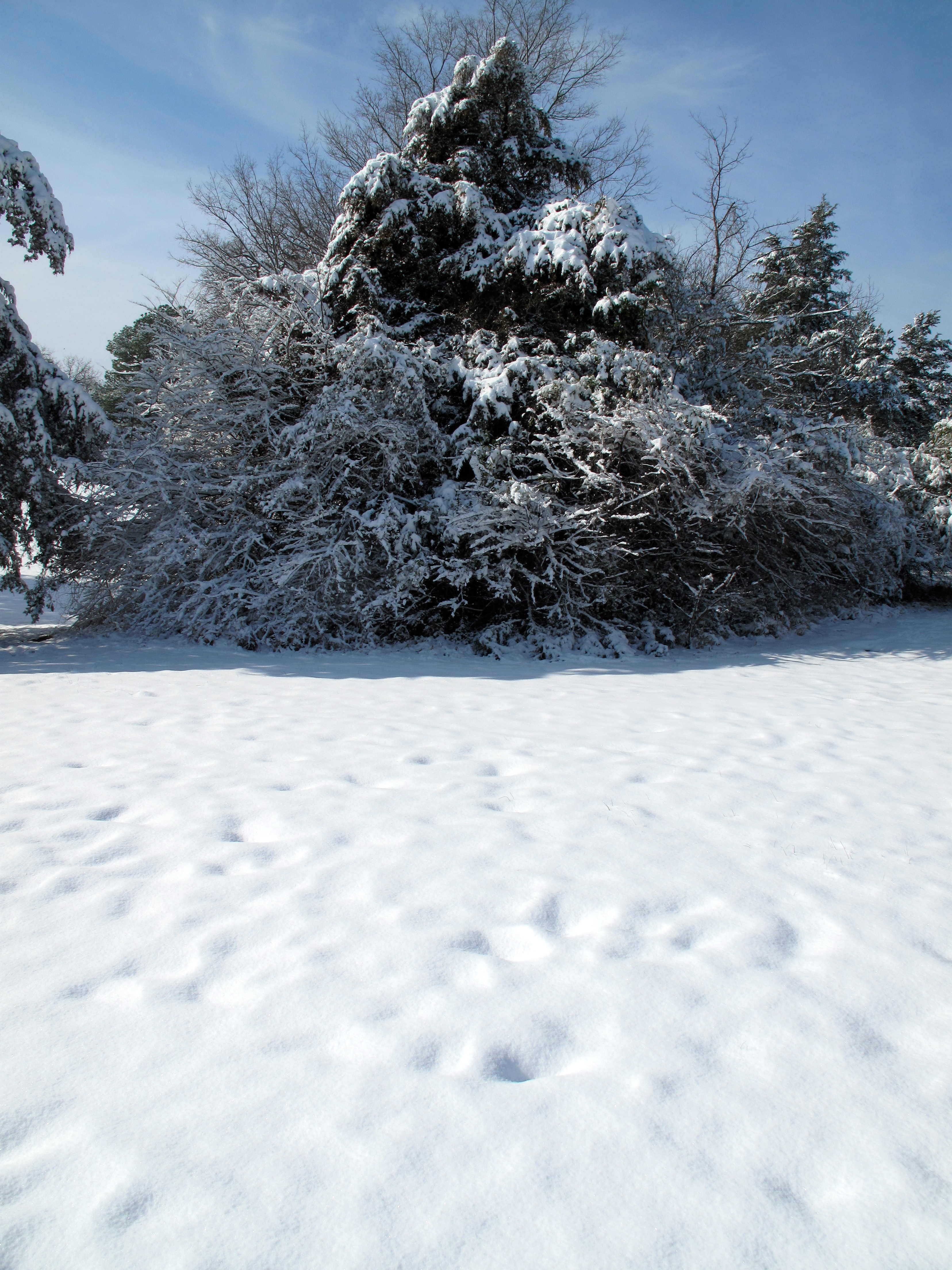
Snow Land 2
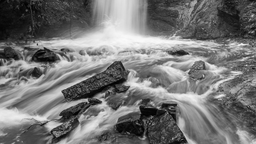
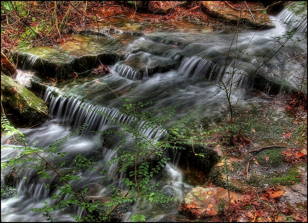
Action at the bottom of the falls

Falls at Sugar Loaf Lake
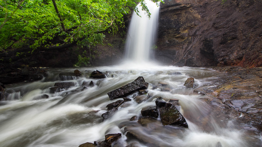
The falls at Sugar Loaf Lake
Topographic Map of Jim Fork Township, AR, USA
Find elevation by address:

Places in Jim Fork Township, AR, USA:
Places near Jim Fork Township, AR, USA:
Jefferson Ave, Midland, AR, USA
Midland
Old Arko Rd, Huntington, AR, USA
Prairie Township
Mississippi Township
Co Rd 39, Huntington, AR, USA
5525 Slaytonville Rd
Diamond Township
Slaytonville
Huntington
Hartford Township
Hartford
Mansfield
East Clarks Chapel Road
W Hartford Rd, Hartford, AR, USA
Boyd St, Howe, OK, USA
Oliver Township
18223 Maple Rd
Ford Place
Vaughn Lane
Recent Searches:
- Elevation of Holloway Ave, San Francisco, CA, USA
- Elevation of Norfolk, NY, USA
- Elevation of - San Marcos Pass Rd, Santa Barbara, CA, USA
- Elevation of th Pl SE, Issaquah, WA, USA
- Elevation of 82- D Rd, Captain Cook, HI, USA
- Elevation of Harlow CM20 2PR, UK
- Elevation of Shenyang Agricultural University, Dong Ling Lu, Shen He Qu, Shen Yang Shi, Liao Ning Sheng, China
- Elevation of Alpha Dr, Melbourne, FL, USA
- Elevation of Hiroshima University, 1-chōme-3-2 Kagamiyama, Higashihiroshima, Hiroshima -, Japan
- Elevation of Bernina Dr, Lake Arrowhead, CA, USA