Elevation map of Jhargram, West Bengal, India
Location: India > West Bengal > West Medinipur >
Longitude: 86.9824288
Latitude: 22.305847
Elevation: 68m / 223feet
Barometric Pressure: 101KPa
Elevation Map:
Satellite Map:
Related Photos:
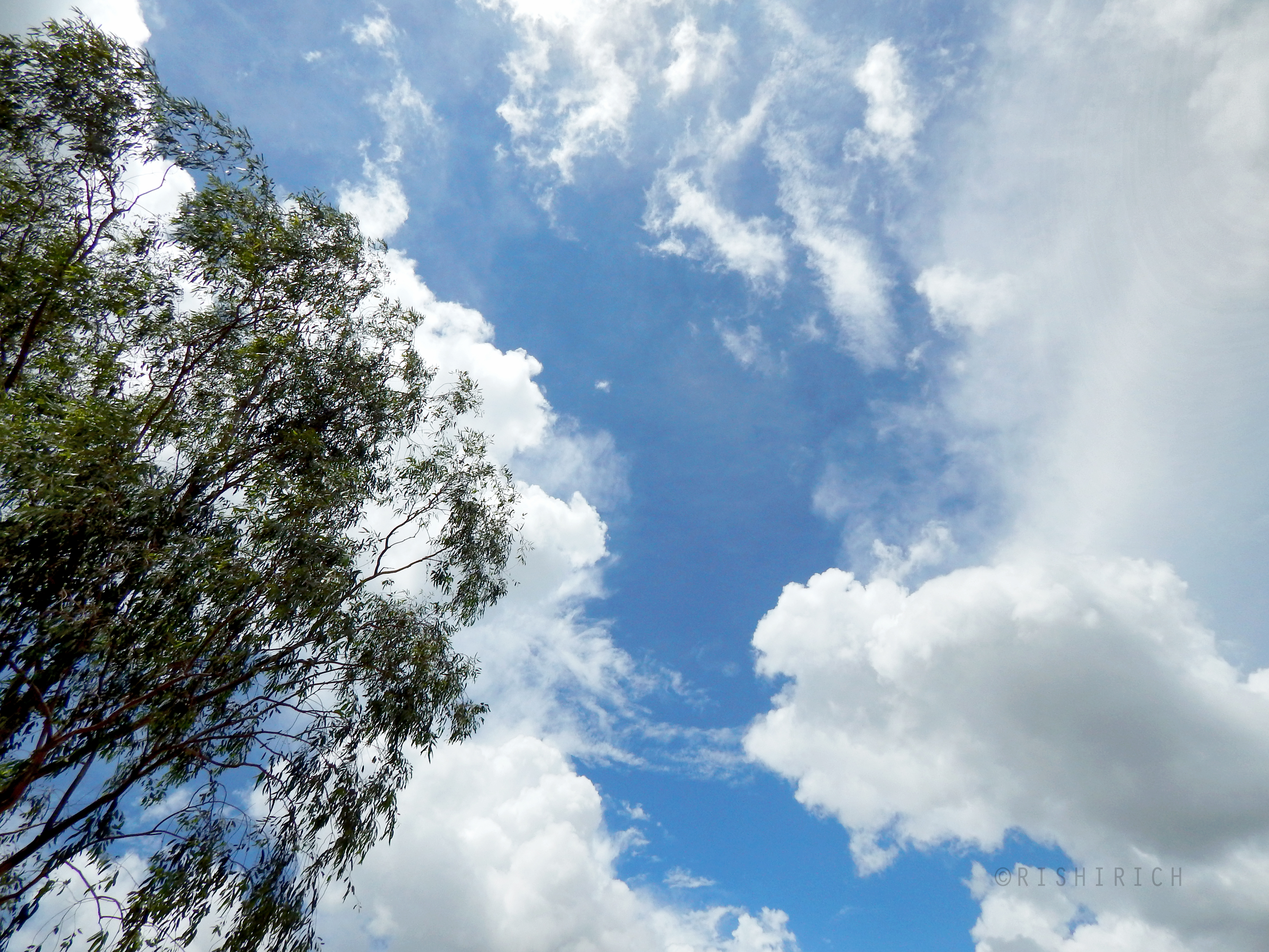
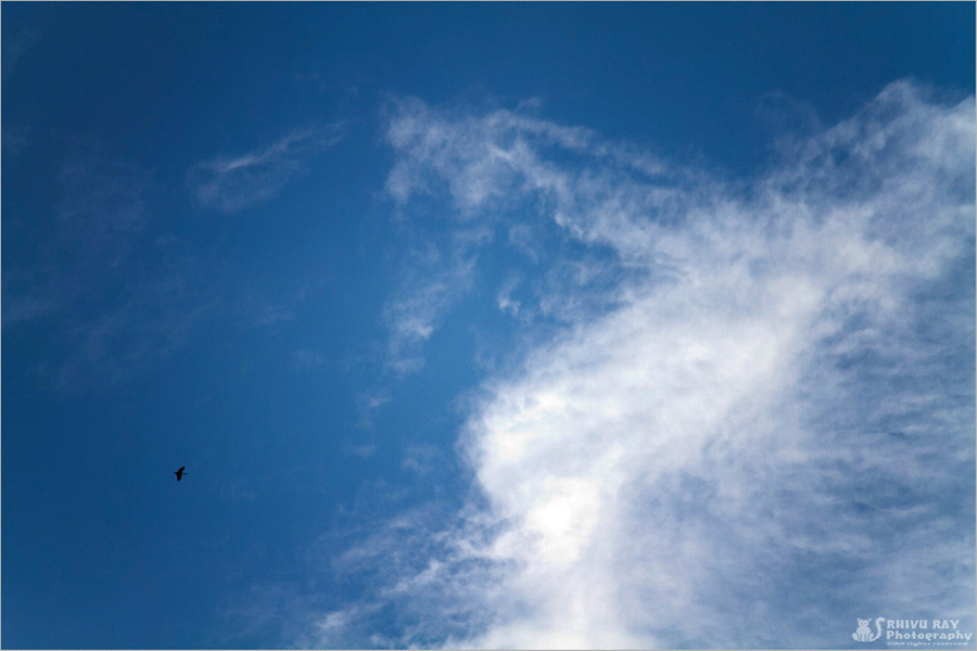
Beautiful Open Sky

A Woman Carrying Woods
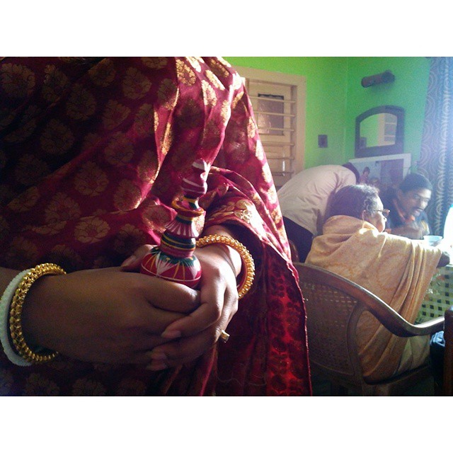
#Cousin Sister is getting married today. Way too much fun in the house. #weddingphotography #wedding #sister #West #Bengal #bengali #westbengal
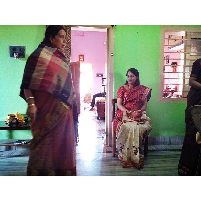
The second set of madness has begun. Cousin getting marriage today and its absolute crazy. Half of us are still to get the hangover from my sister's marriage on 24th .. and this one is turning out to be even more fun with more family joining in.

Rolling Wheel

Dead Riders Nest

Let Your Colors Burst

Mom Of 121 Crore Indians

Life Less Trees
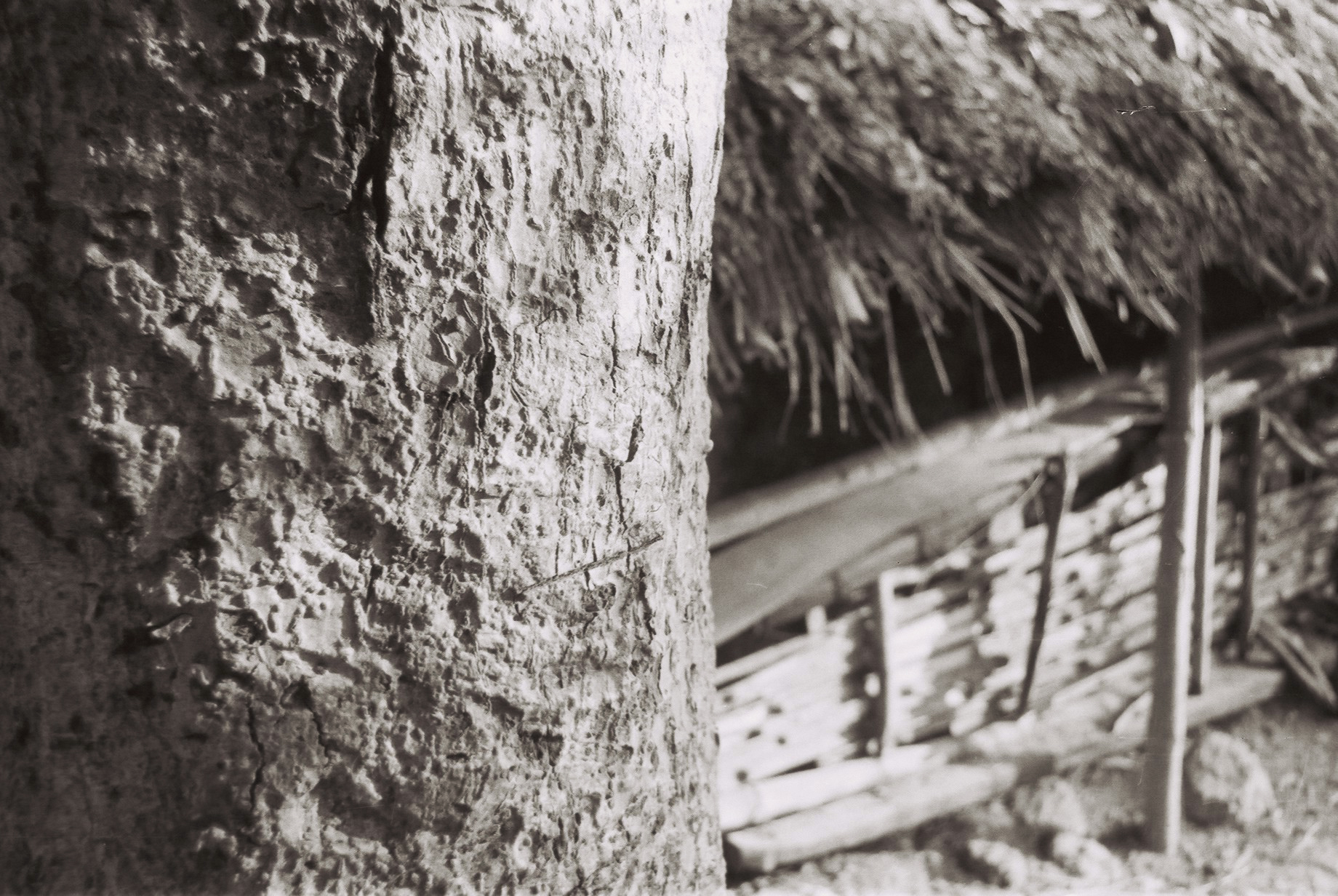
Contrasty Textures
A Dream!
Topographic Map of Jhargram, West Bengal, India
Find elevation by address:

Places in Jhargram, West Bengal, India:
Places near Jhargram, West Bengal, India:
Chandipur
Office Of The District Magistrate & Collector
Jhargram
Old Level Crossing Road
Chilkigarh Sacred Grove
Chilkigarh Kanak-durga Temple
Chilkigarh
Khat Gerya
East Singhbhum
Aranya Nivas Resort
Recent Searches:
- Elevation of Fern Rd, Whitmore, CA, USA
- Elevation of 62 Abbey St, Marshfield, MA, USA
- Elevation of Fernwood, Bradenton, FL, USA
- Elevation of Felindre, Swansea SA5 7LU, UK
- Elevation of Leyte Industrial Development Estate, Isabel, Leyte, Philippines
- Elevation of W Granada St, Tampa, FL, USA
- Elevation of Pykes Down, Ivybridge PL21 0BY, UK
- Elevation of Jalan Senandin, Lutong, Miri, Sarawak, Malaysia
- Elevation of Bilohirs'k
- Elevation of 30 Oak Lawn Dr, Barkhamsted, CT, USA