Elevation of Jewett Road, Jewett Rd, Jonesport, ME, USA
Location: United States > Maine > Washington County > Jonesport >
Longitude: -67.578039
Latitude: 44.6135531
Elevation: 29m / 95feet
Barometric Pressure: 101KPa
Elevation Map:
Satellite Map:
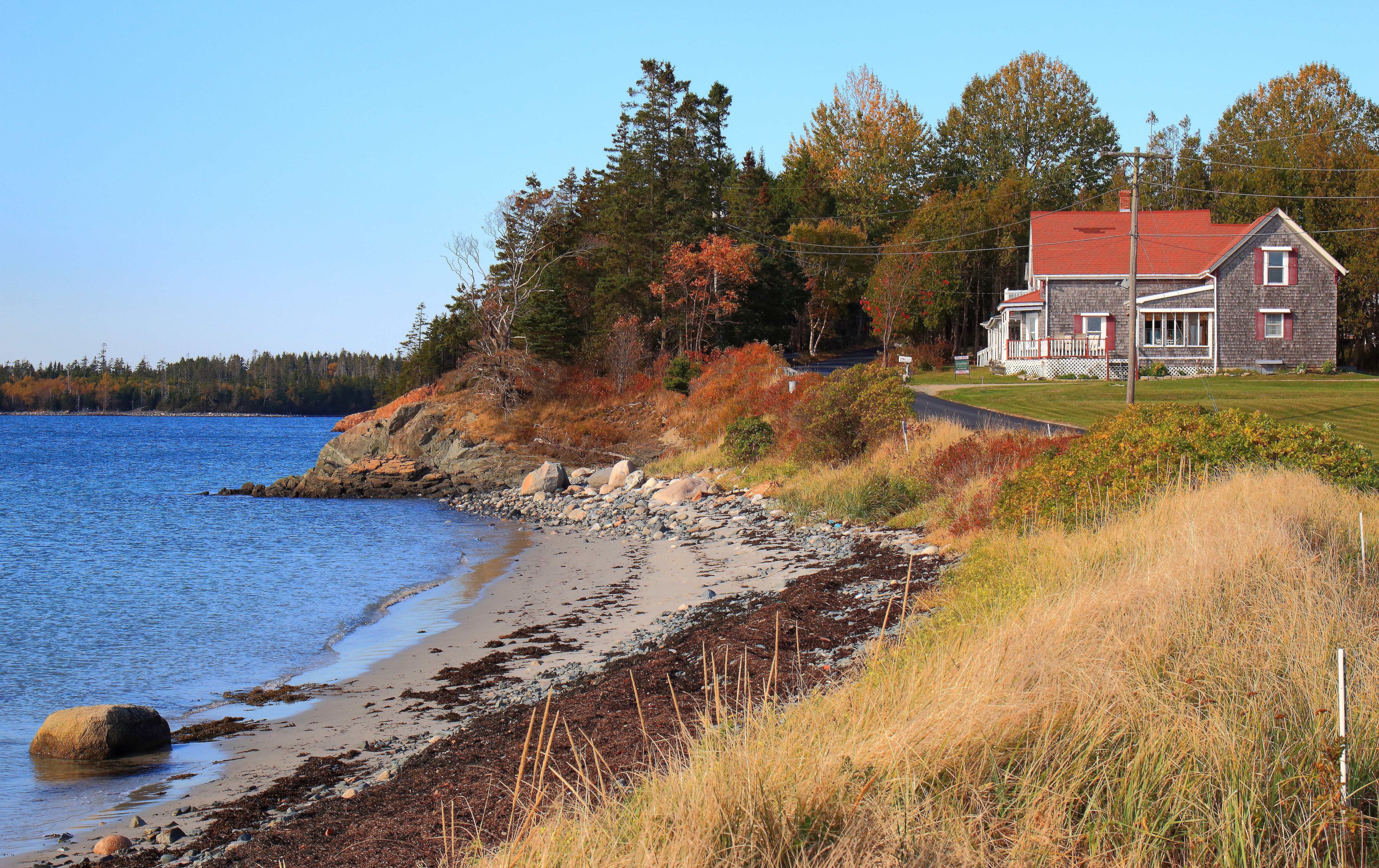
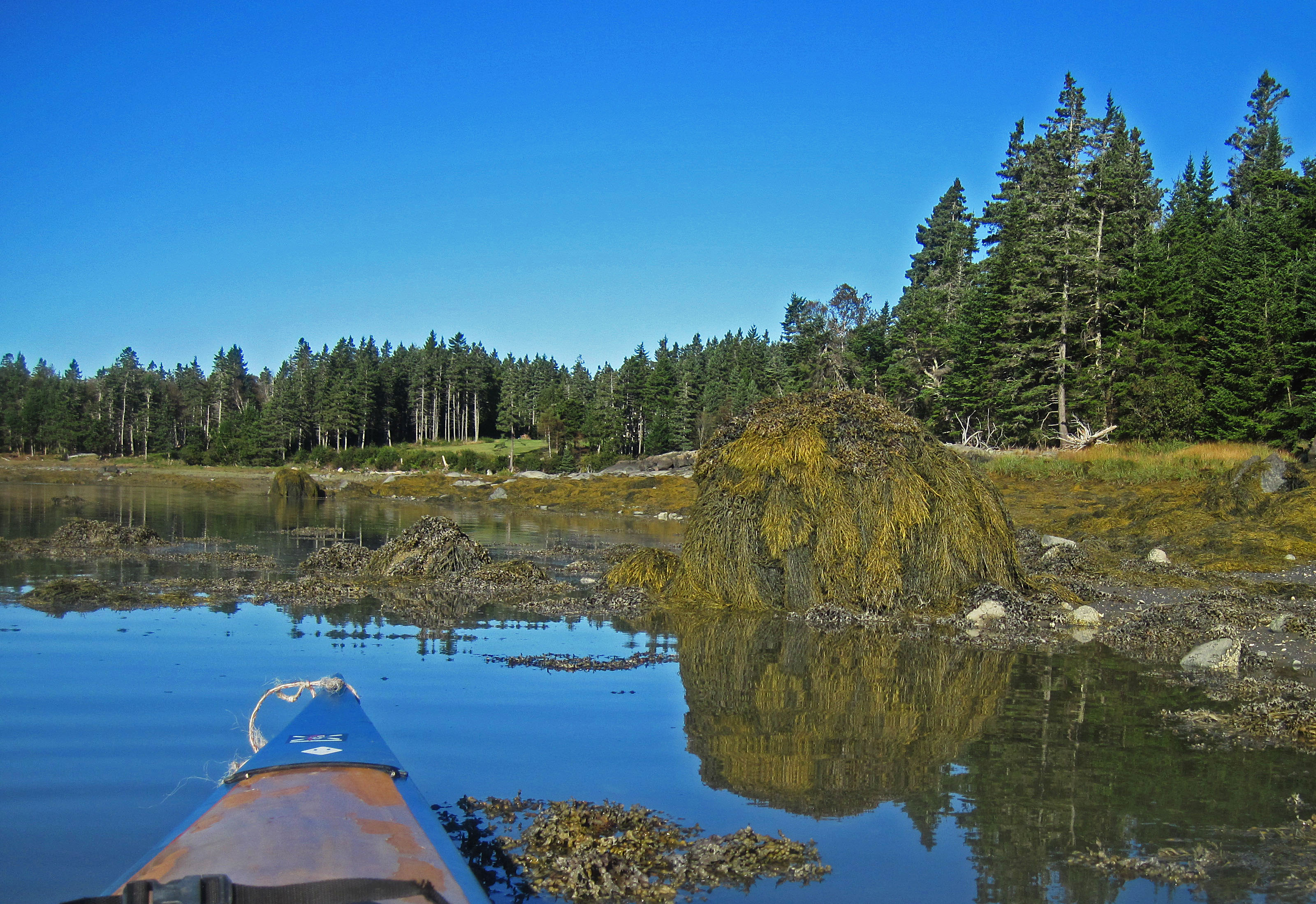
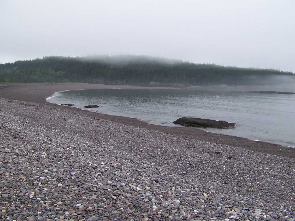
Related Photos:
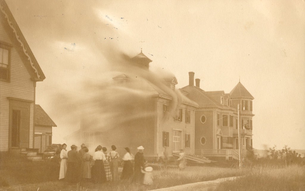
House Fire, 1908 - Jonesport, Maine

Low tide across The Reach, towards North Island

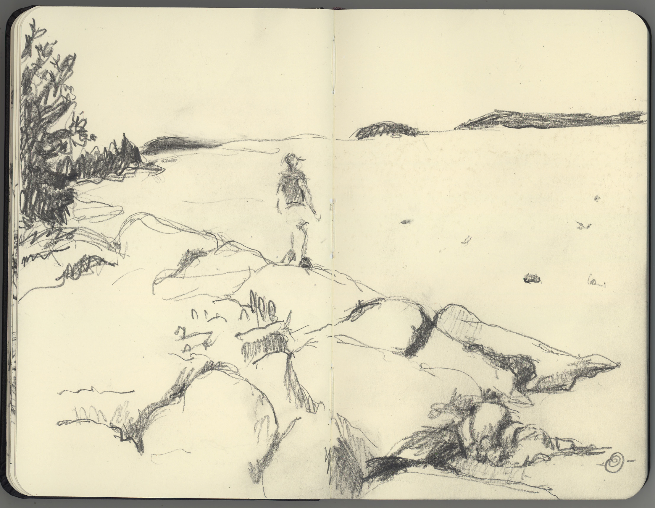
Guestbook drawing Jonesport rental
Schoppee Point, Roque Bluffs, ME

Dublin Street, Machias, ME

Dinner Bags
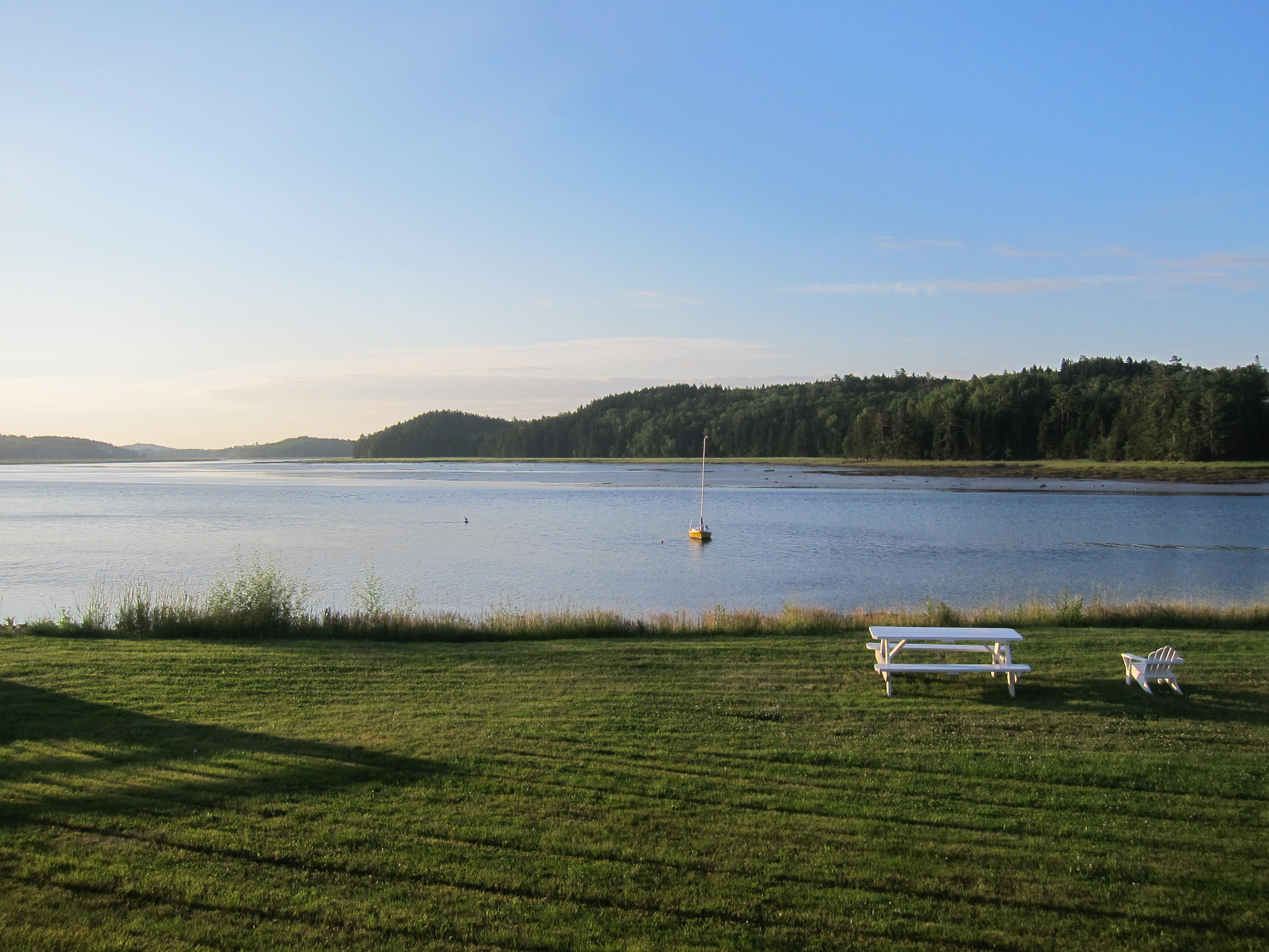
Eastern Harbor View
Jasper Beach
Machias Motor Inn, view over the river

Two-Striped Grasshopper nymph

Twice-stabbed

Bad Little Falls.

Bumble Bee on flower

Bumble Bee to flower

North East Vacation Trip

North East Vacation Trip
North East Vacation Trip

North East Vacation Trip

North East Vacation Trip
North East Vacation Trip

North East Vacation Trip
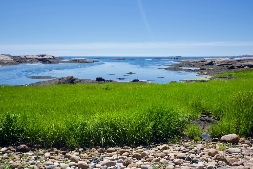
Great Wass Preserve

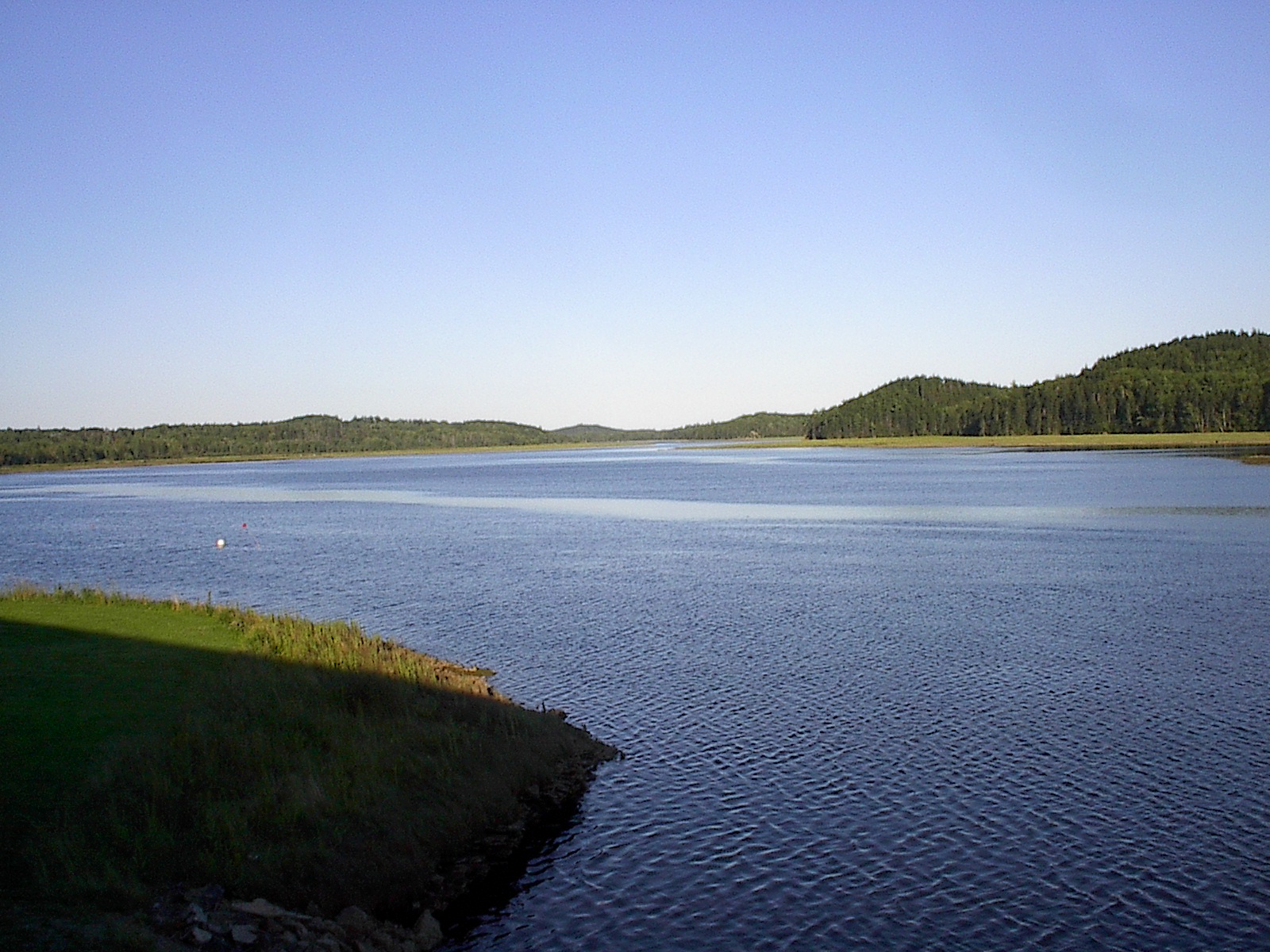
Machias River

Down East

Milky Way Over Little Deer Isle, Maine
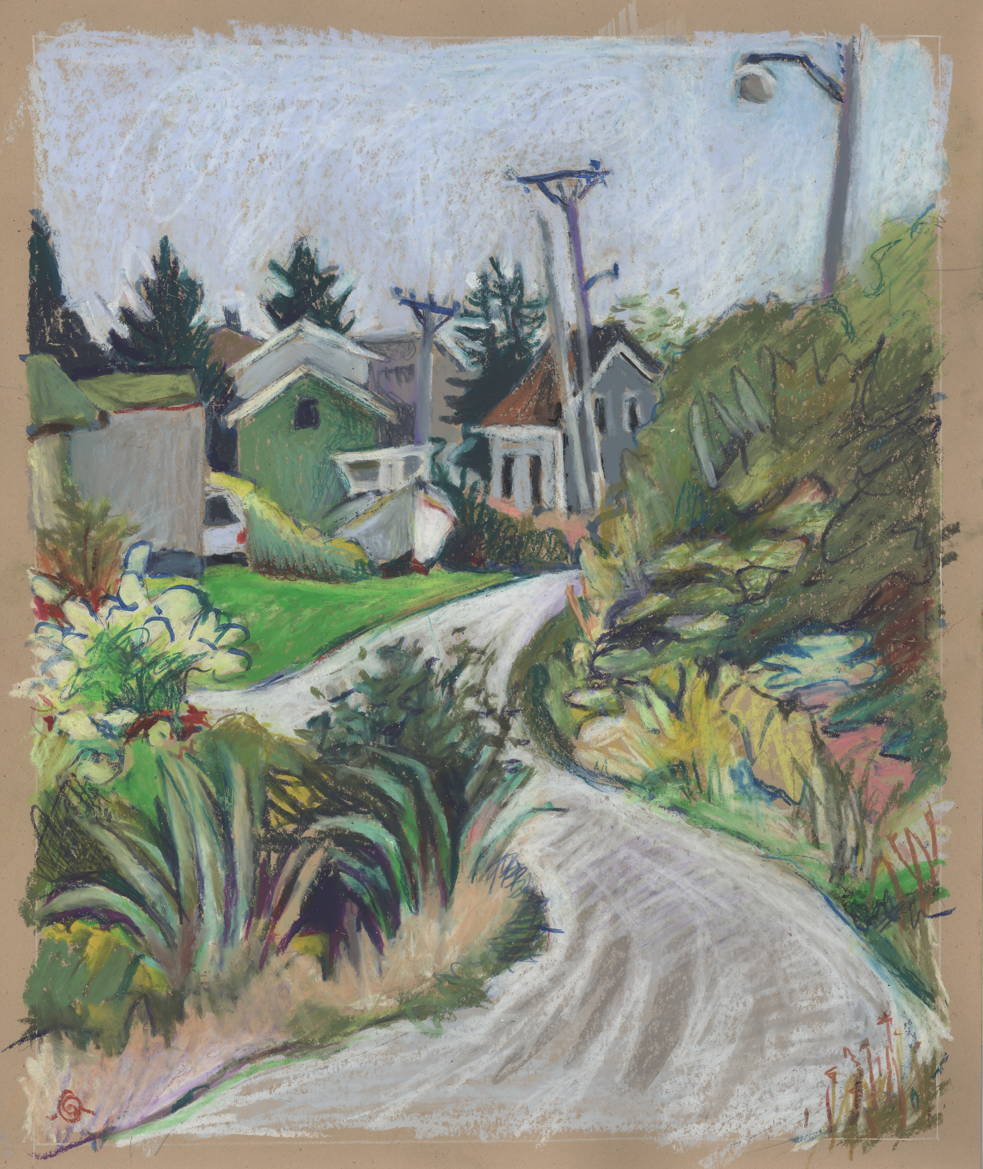
S-curve on Hopkins Point Road

Indian River Outside-Zinnias Inside

Some Sweet
John on the rocks Hannah's Cove

Smith Lobster

Long flat cloud over Moosabec Reach I

Long flat cloud over Moosabec Reach II

Sunset from Hopkins Point

Roque Bluffs

IMGP7612ed-Edit.jpg

Machias Walk October 20, 2013

Jonesport Lobster Barn

Machias Walk October 20, 2013

Machias Walk October 20, 2013

Scoodic Point

Roque Bluffs
Topographic Map of Jewett Road, Jewett Rd, Jonesport, ME, USA
Find elevation by address:

Places near Jewett Road, Jewett Rd, Jonesport, ME, USA:
1116 Mason Bay Rd
Mason Bay Rd, Jonesport, ME, USA
Mason Bay Rd, Jonesport, ME, USA
Nepp Point Road
251 Masons Bay Rd
12 Stevens St
Jonesport
121 Main St
Lee's Auto Repair
29 Indian Point Rd
Sealand
10 Bay Dr
10 Bay Dr
10 Bay Dr
10 Bay Dr
10 Bay Dr
1208 Basin Rd
East Side Road
Addison
Reef Point Road
Recent Searches:
- Elevation of Jadagoniai, Kaunas District Municipality, Lithuania
- Elevation of Pagonija rock, Kranto 7-oji g. 8"N, Kaunas, Lithuania
- Elevation of Co Rd 87, Jamestown, CO, USA
- Elevation of Tenjo, Cundinamarca, Colombia
- Elevation of Côte-des-Neiges, Montreal, QC H4A 3J6, Canada
- Elevation of Bobcat Dr, Helena, MT, USA
- Elevation of Zu den Ihlowbergen, Althüttendorf, Germany
- Elevation of Badaber, Peshawar, Khyber Pakhtunkhwa, Pakistan
- Elevation of SE Heron Loop, Lincoln City, OR, USA
- Elevation of Slanický ostrov, 01 Námestovo, Slovakia