Elevation map of Jety - Oguz, Kyrgyzstan
Location: Kyrgyzstan > Ysyk Kol Province >
Longitude: 78.1108279
Latitude: 41.7758195
Elevation: 3810m / 12500feet
Barometric Pressure: 63KPa
Elevation Map:
Satellite Map:
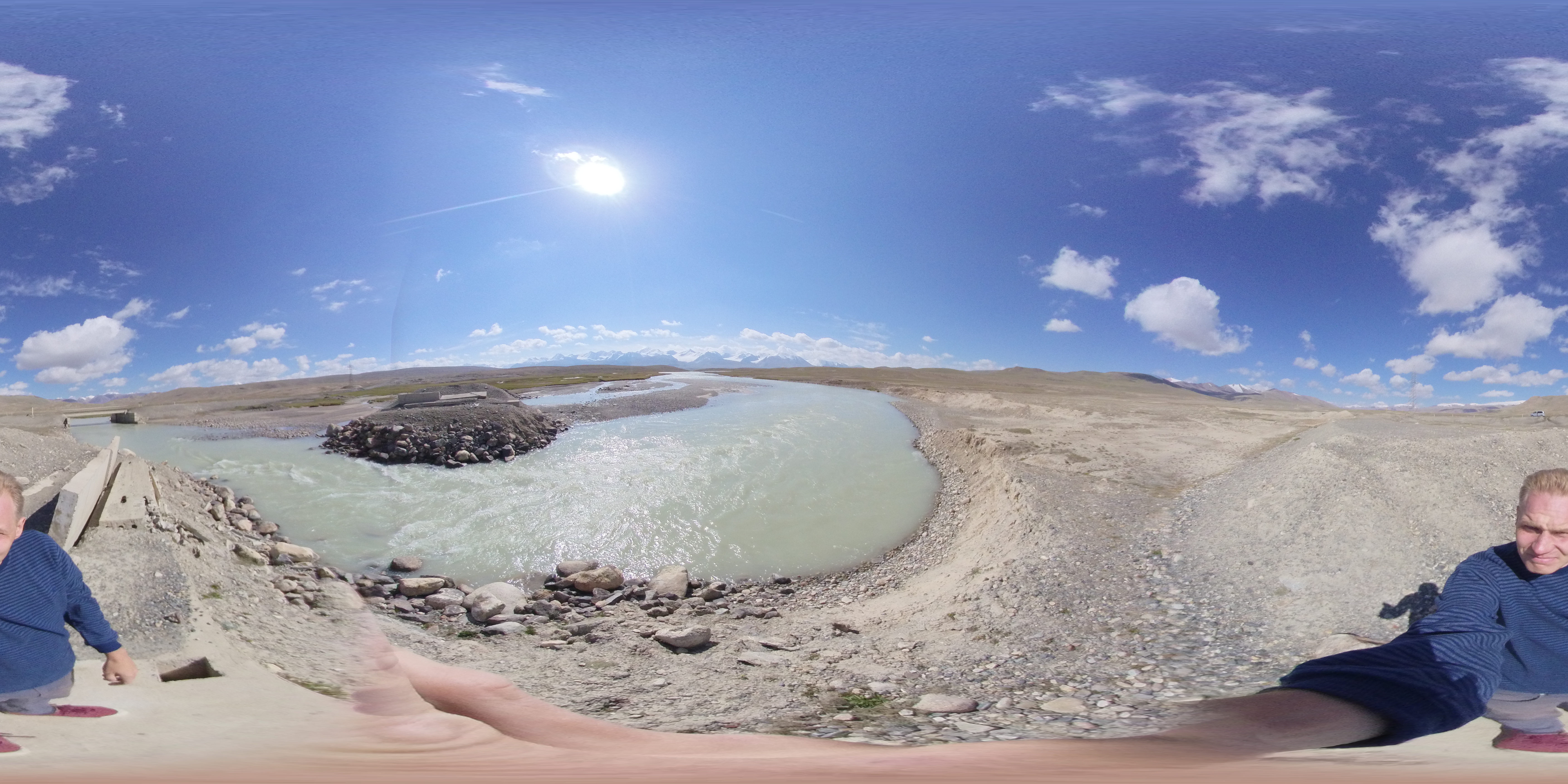
Related Photos:
Kuntor

Glacier du pic SNK Kirgisii (Conseil des Commissaires du Peuple du Kirghizistan)

Kyrgyz boy and his proud father
Topographic Map of Jety - Oguz, Kyrgyzstan
Find elevation by address:

Places in Jety - Oguz, Kyrgyzstan:
Places near Jety - Oguz, Kyrgyzstan:
Recent Searches:
- Elevation of Co Rd 87, Jamestown, CO, USA
- Elevation of Tenjo, Cundinamarca, Colombia
- Elevation of Côte-des-Neiges, Montreal, QC H4A 3J6, Canada
- Elevation of Bobcat Dr, Helena, MT, USA
- Elevation of Zu den Ihlowbergen, Althüttendorf, Germany
- Elevation of Badaber, Peshawar, Khyber Pakhtunkhwa, Pakistan
- Elevation of SE Heron Loop, Lincoln City, OR, USA
- Elevation of Slanický ostrov, 01 Námestovo, Slovakia
- Elevation of Spaceport America, Co Rd A, Truth or Consequences, NM, USA
- Elevation of Warwick, RI, USA