Elevation of Jerusalem Hill, Rochester, VT, USA
Location: United States > Vermont > Windsor County > Rochester >
Longitude: -72.777351
Latitude: 43.8272819
Elevation: 355m / 1165feet
Barometric Pressure: 97KPa
Elevation Map:
Satellite Map:
Related Photos:

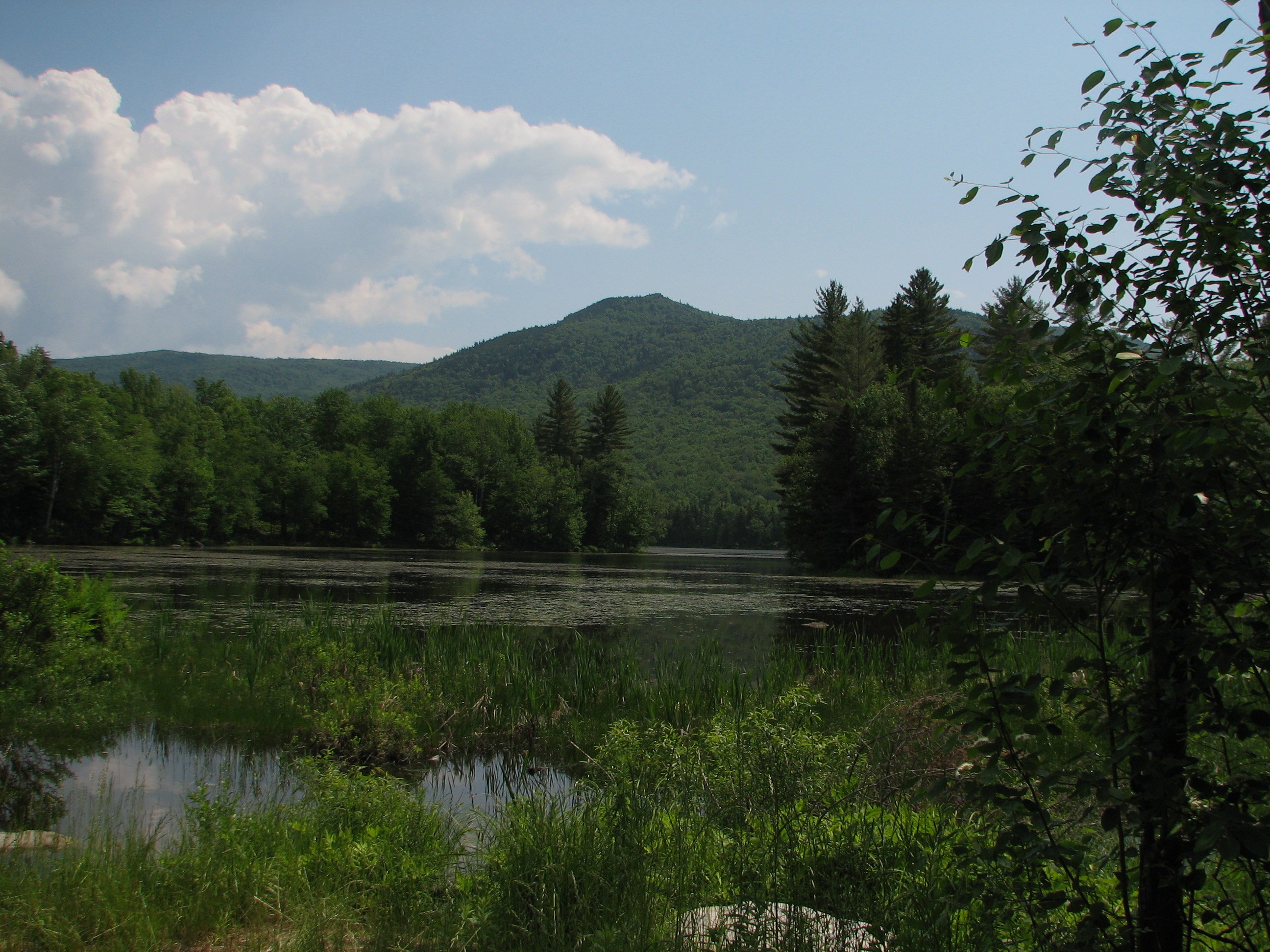
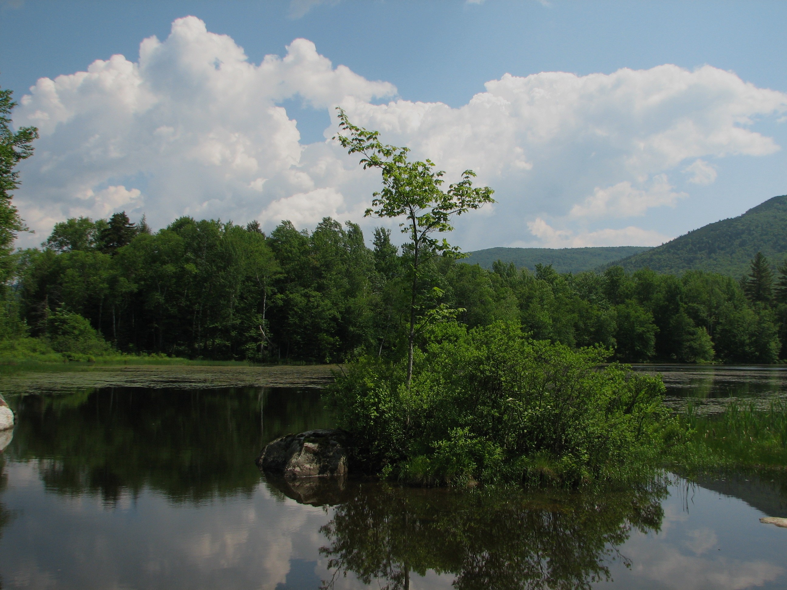
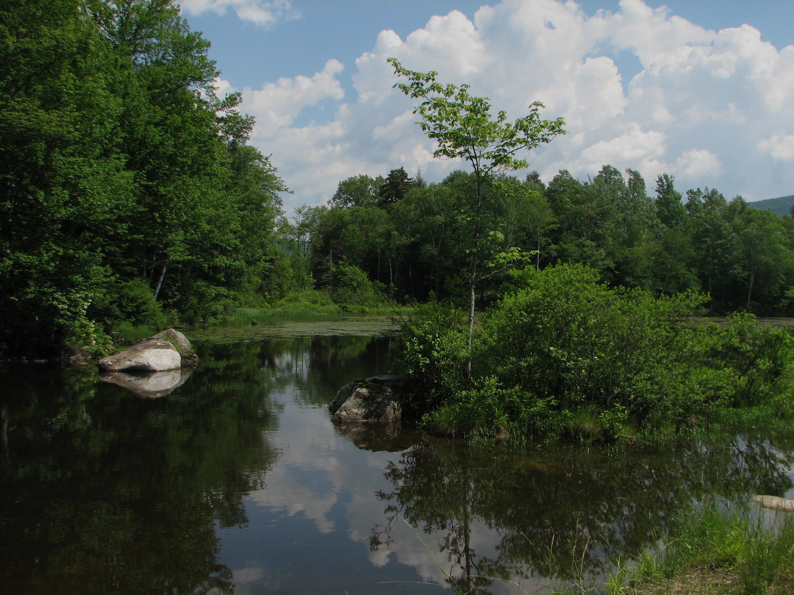
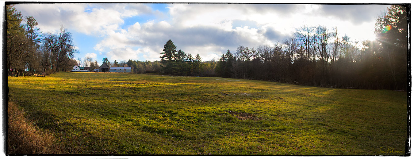
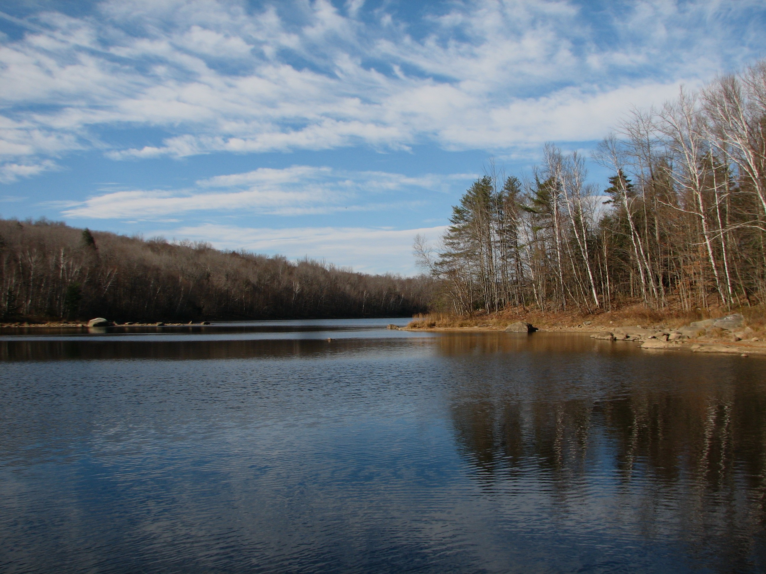
View from Former CC Camp on West Branch of the White River

Painted Bunting in Pittsfield, VT. PhoneScoped.
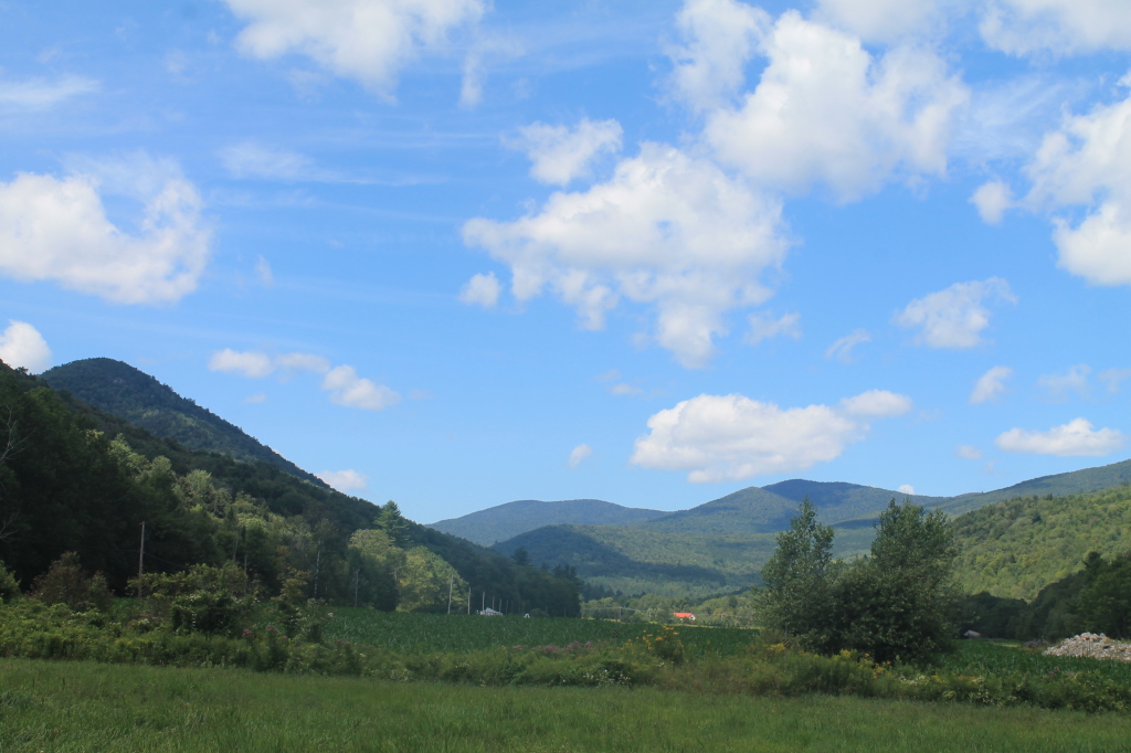
View from Former CC Camp on West Branch of the White River
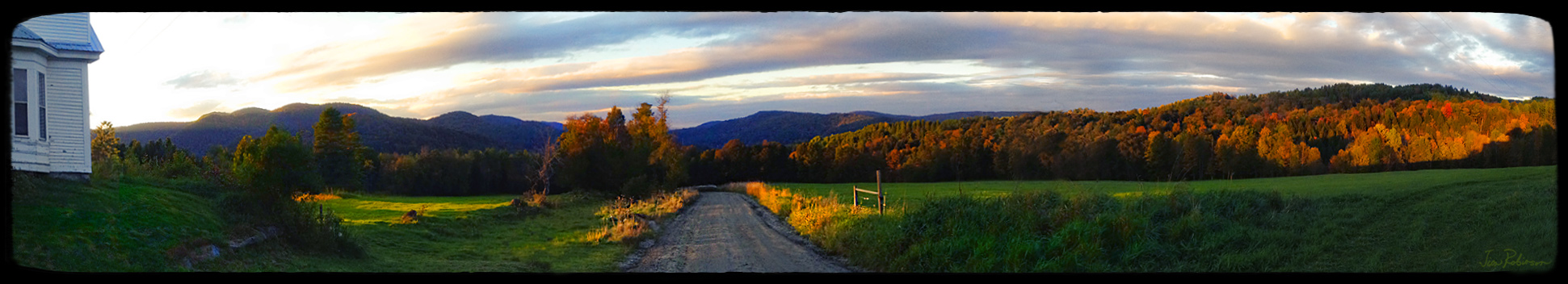
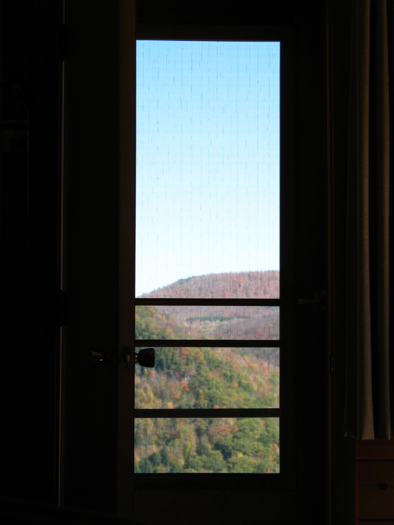
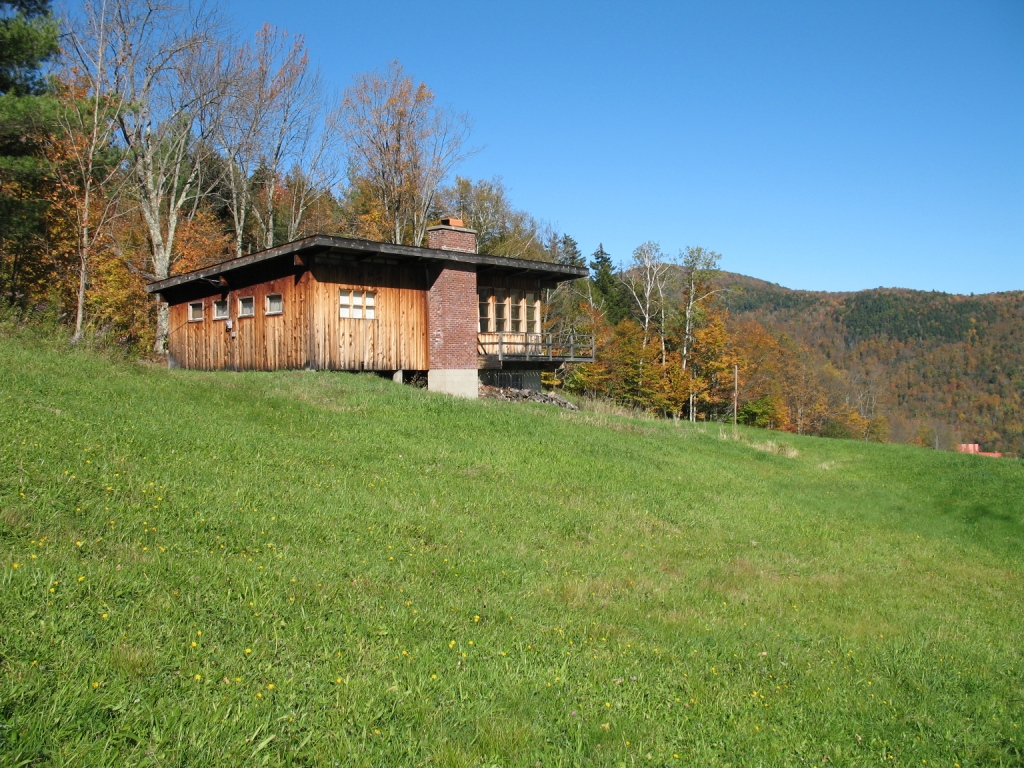
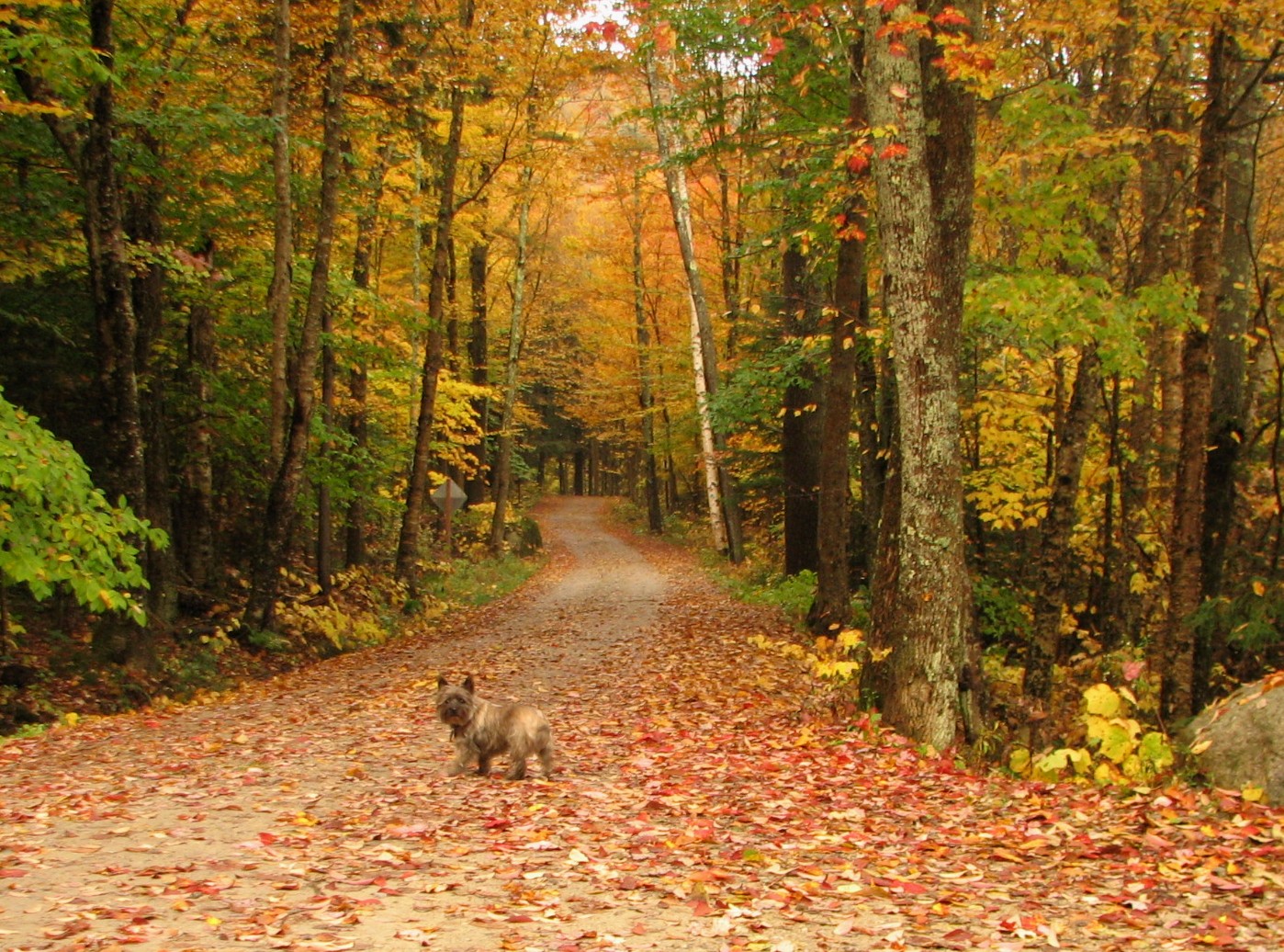
Room with an Autumnal View

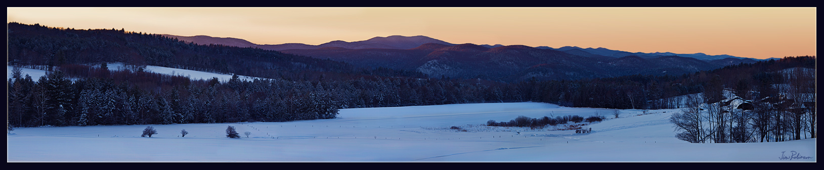
winter's closing in on us

Great Cliffs
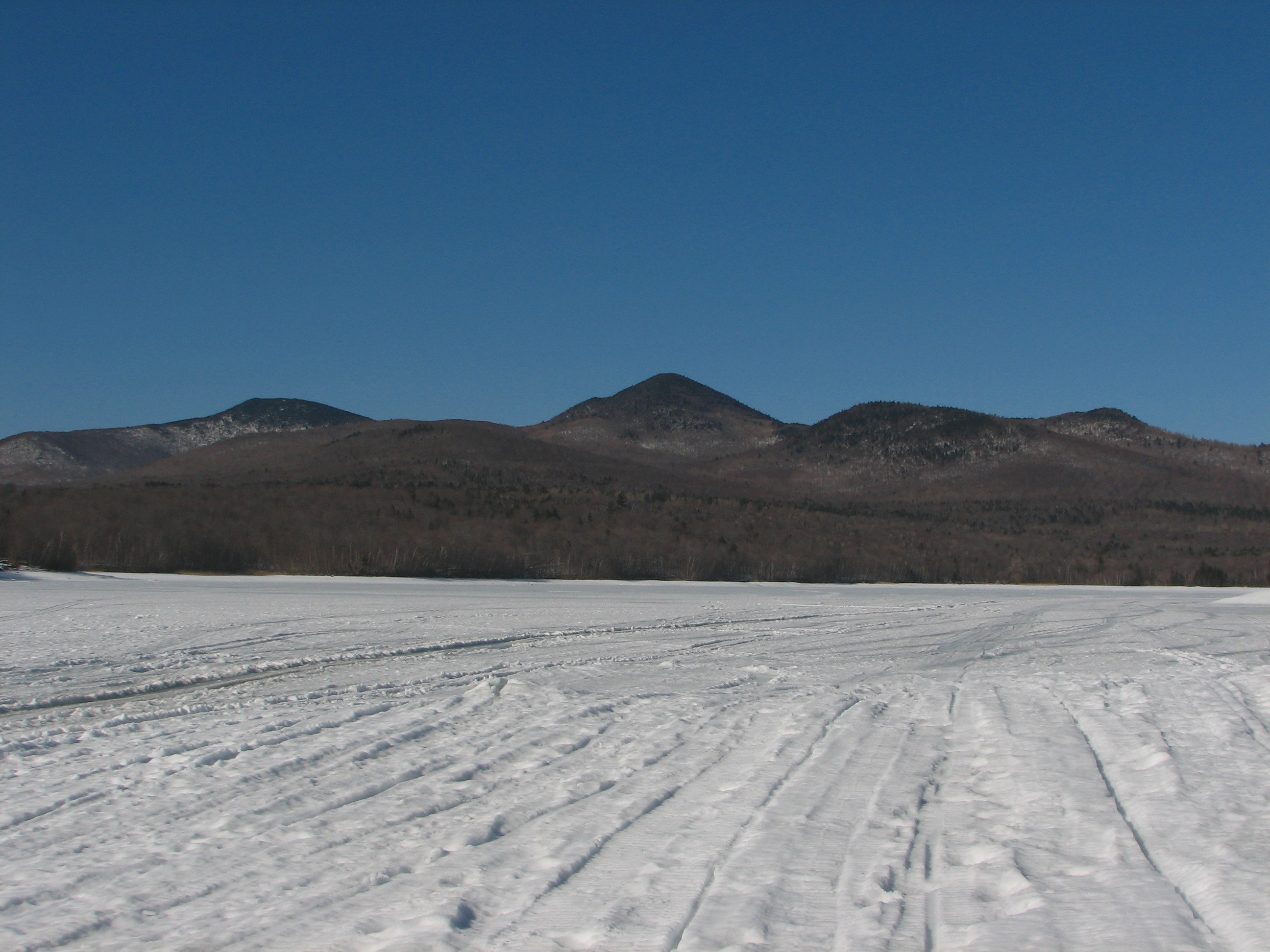
Winter View from North Rd
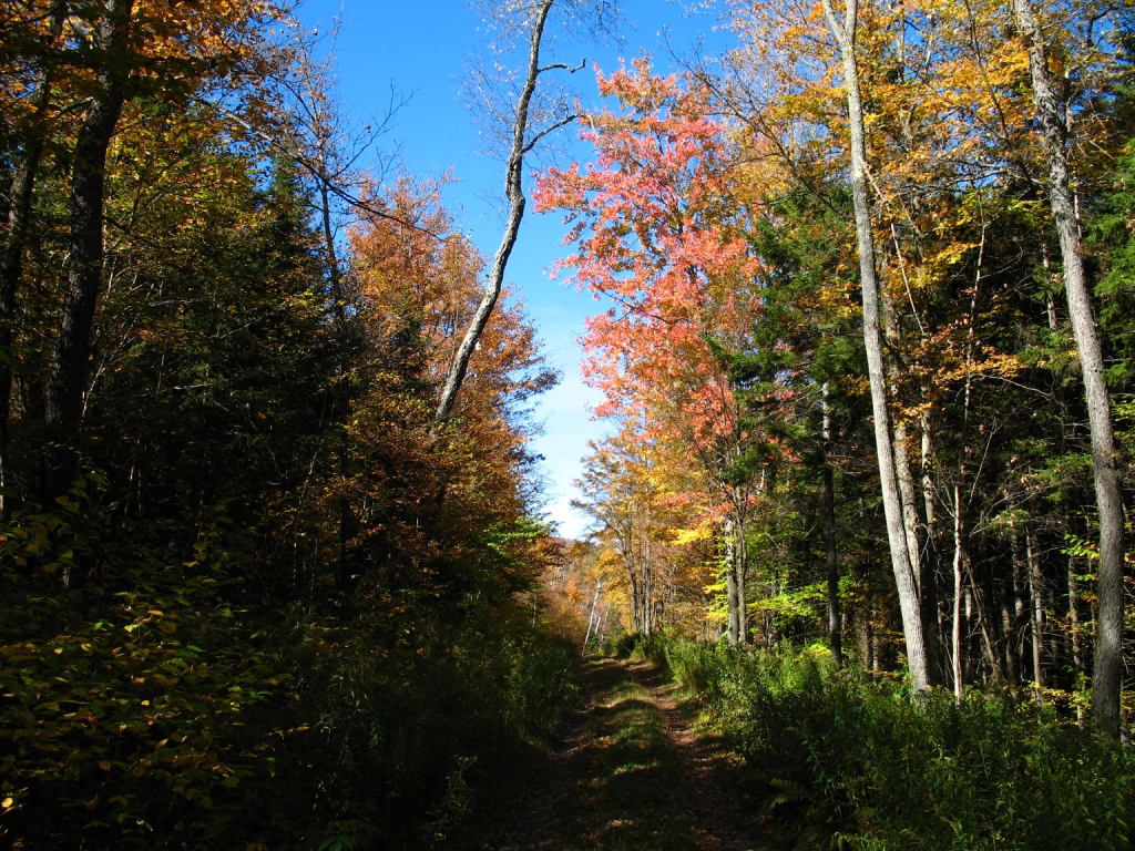
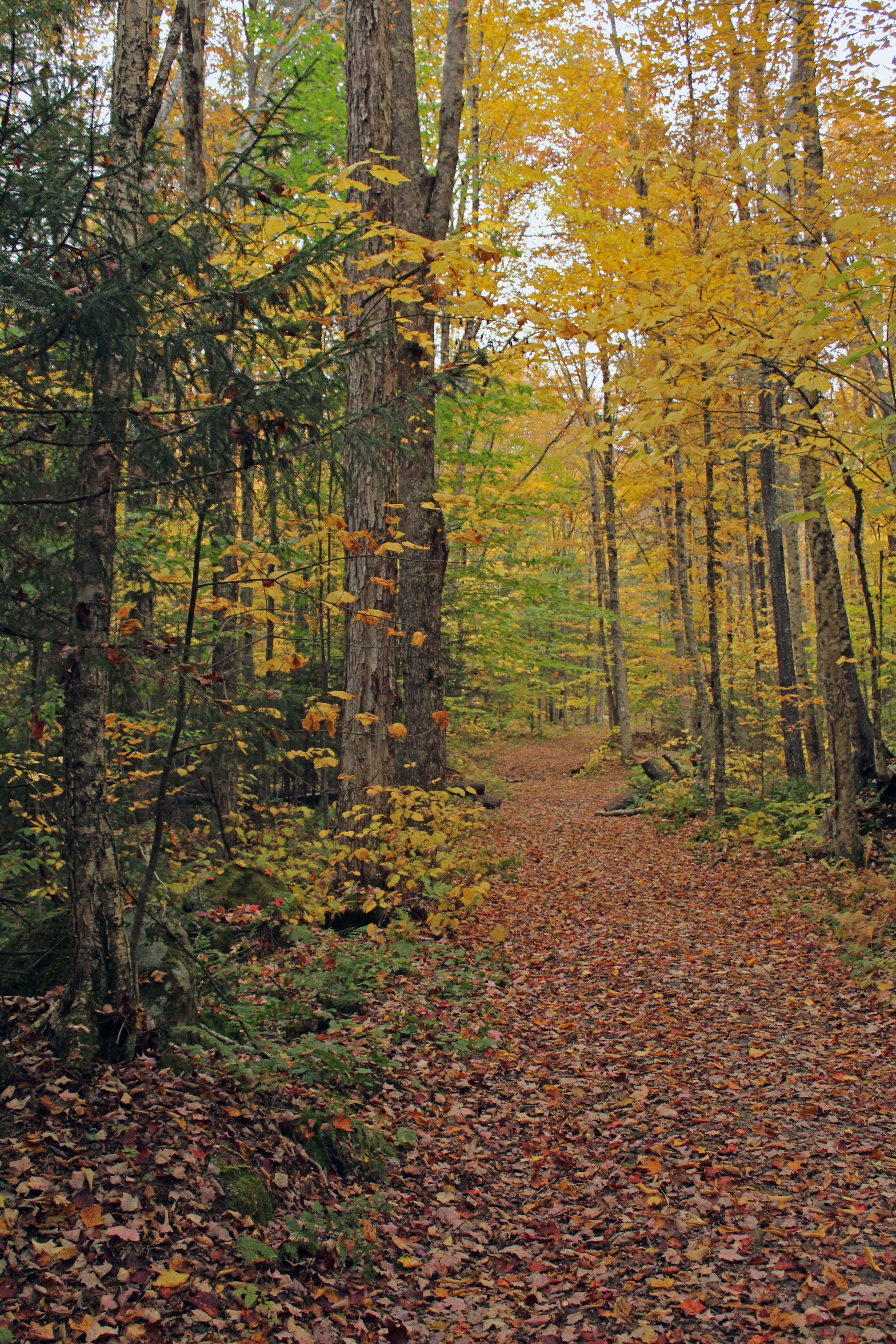
Path View
on an odyssey
View at Lefforts
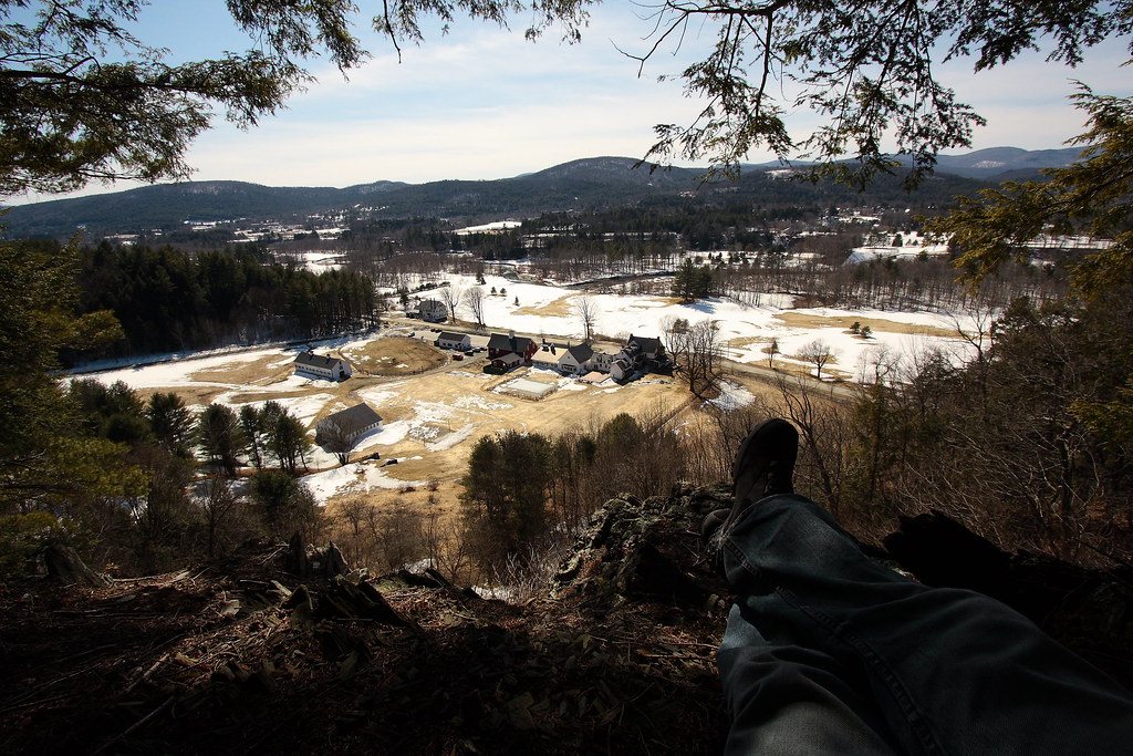
View to the North
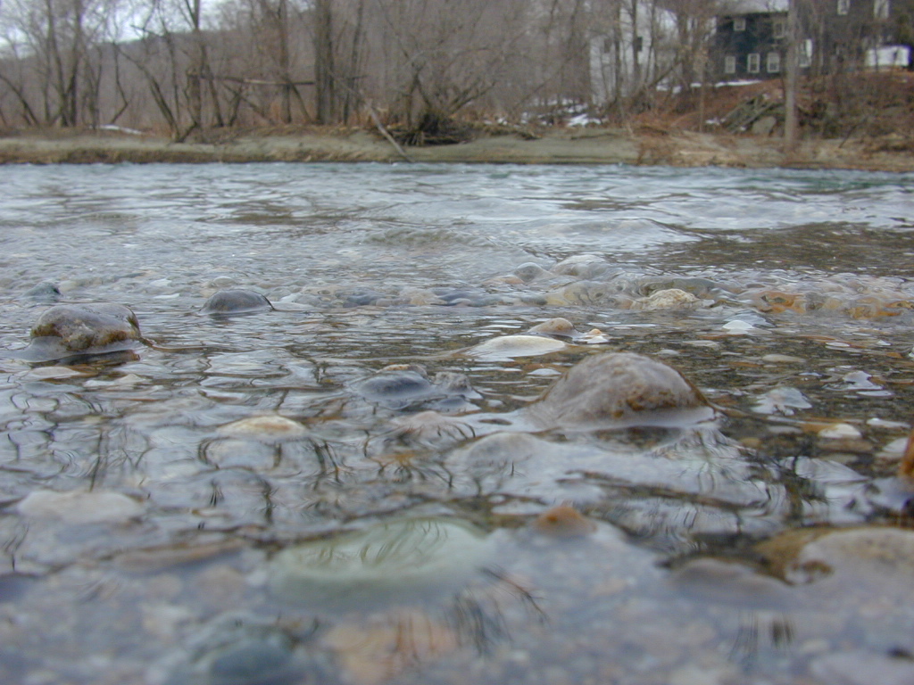
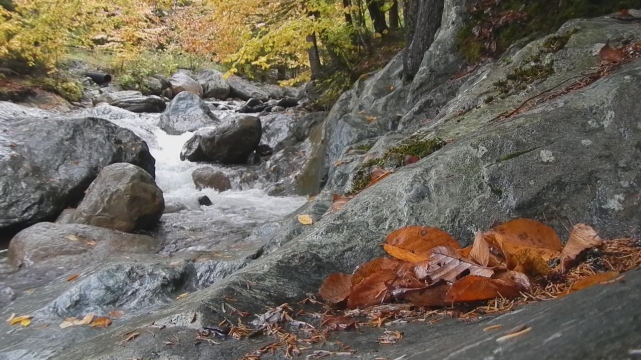
River-level view
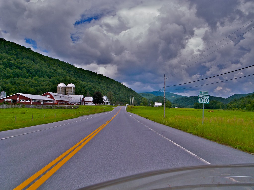
VT-100 North of Rochester, VT

View from the cache area
View at Lefforts
View at Lefforts
View through the door
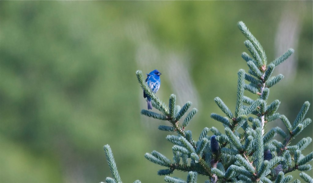
Indigo Bunting
Closer view of Kayla-Chittenden - 3/9/10
The Cabin
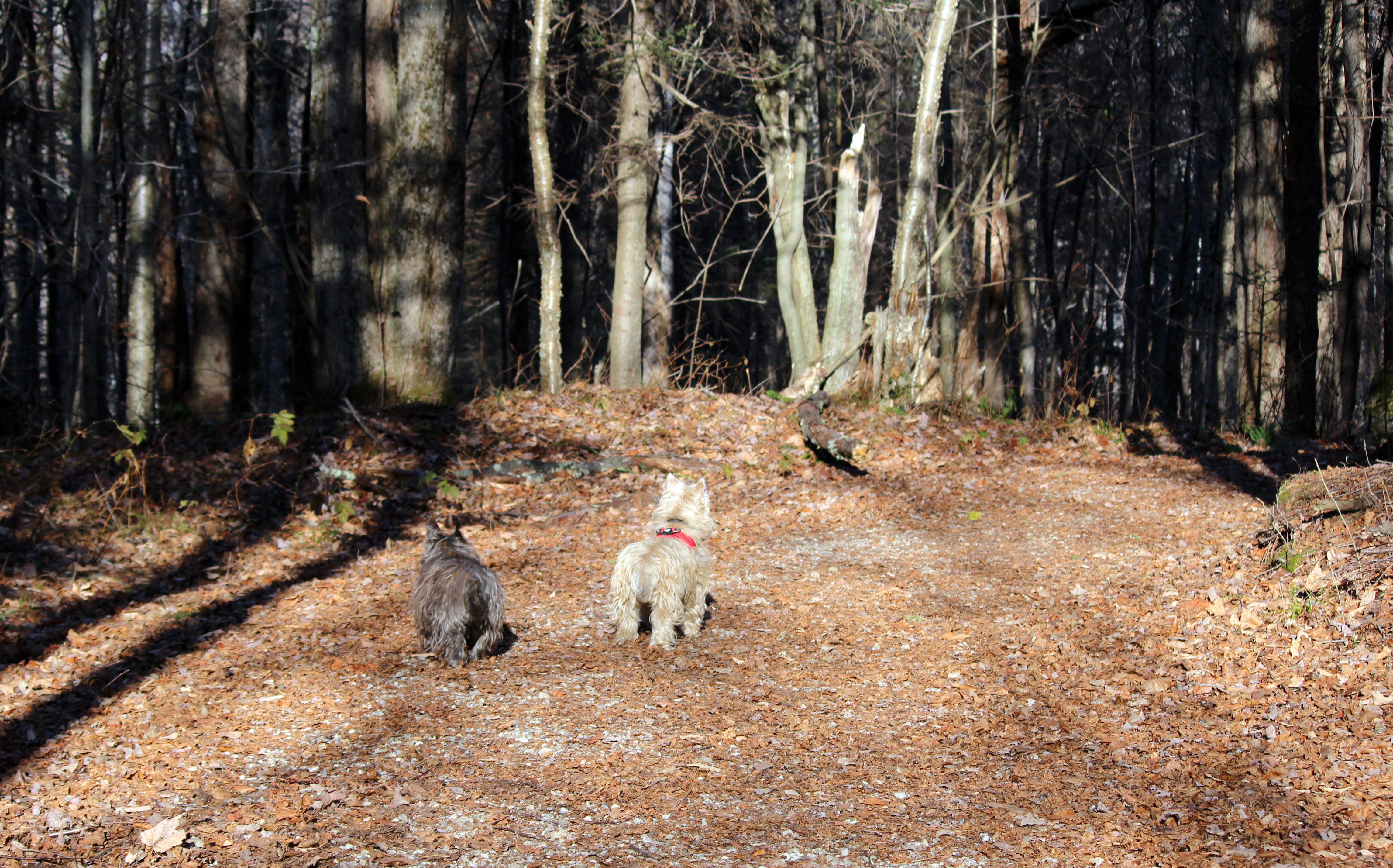
Good Place For An Afternoon Nap
fire island

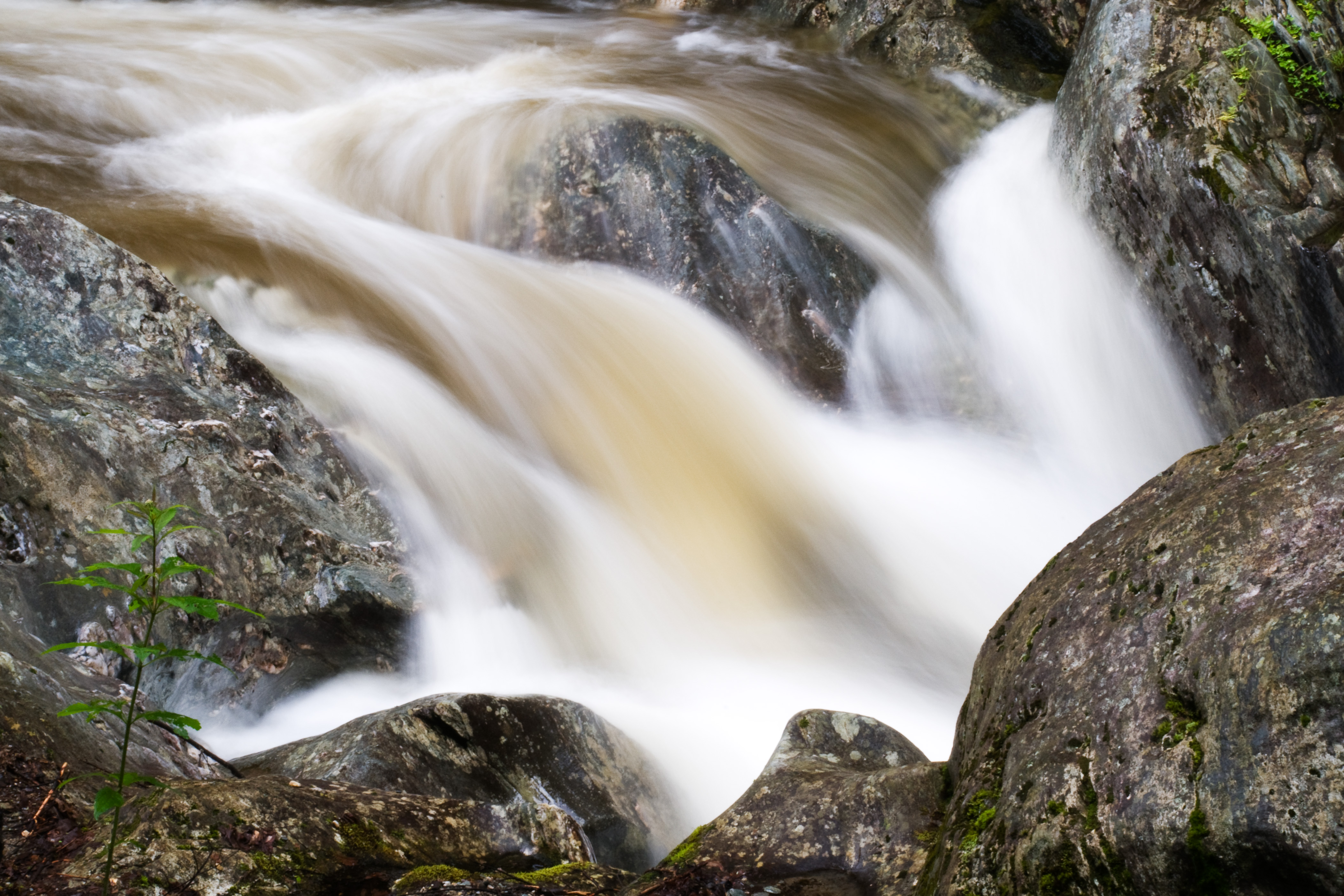
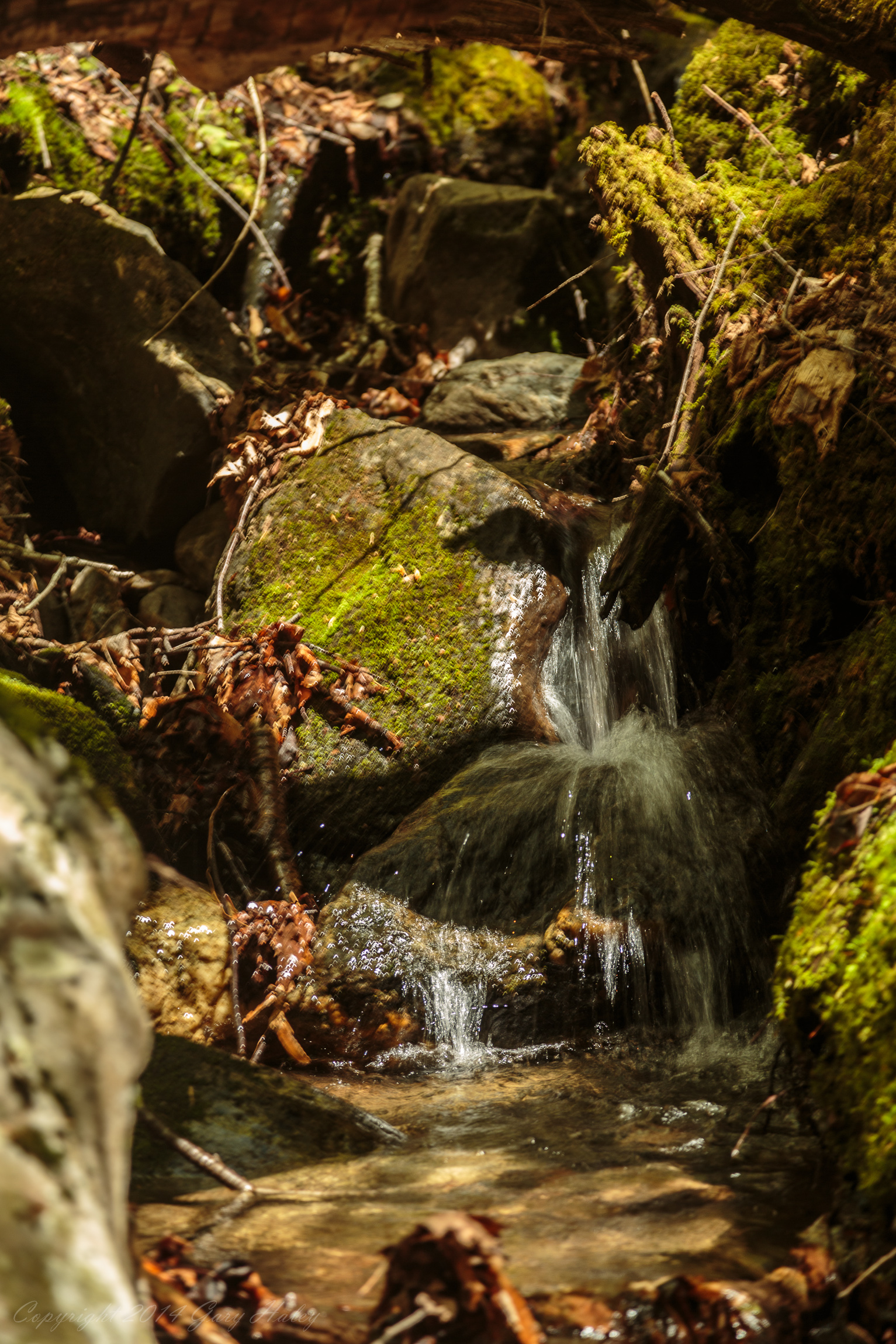
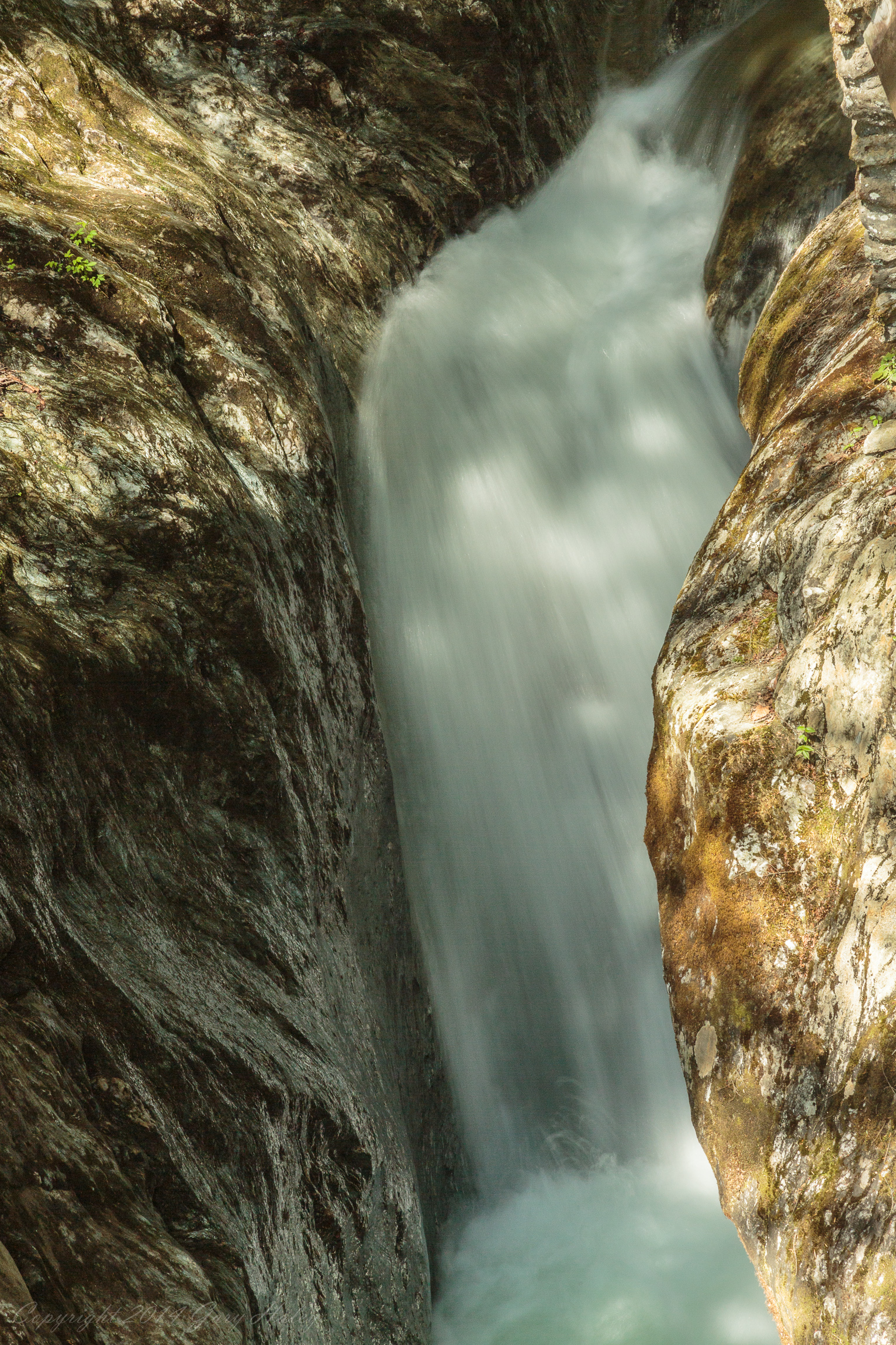
Water Falling over Rocks 2.

Another Vermont barn.

I was driving a support car...
Vermont Hwy 100
keep it wispy
a place in the clouds
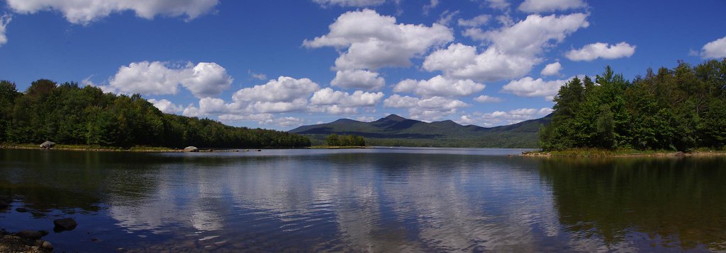
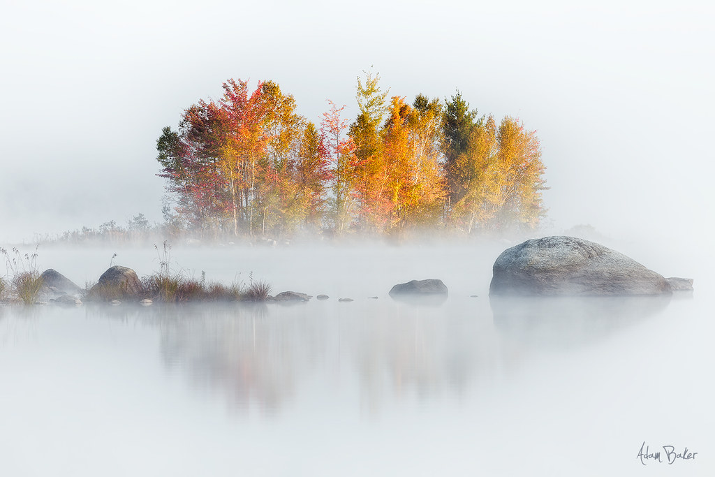
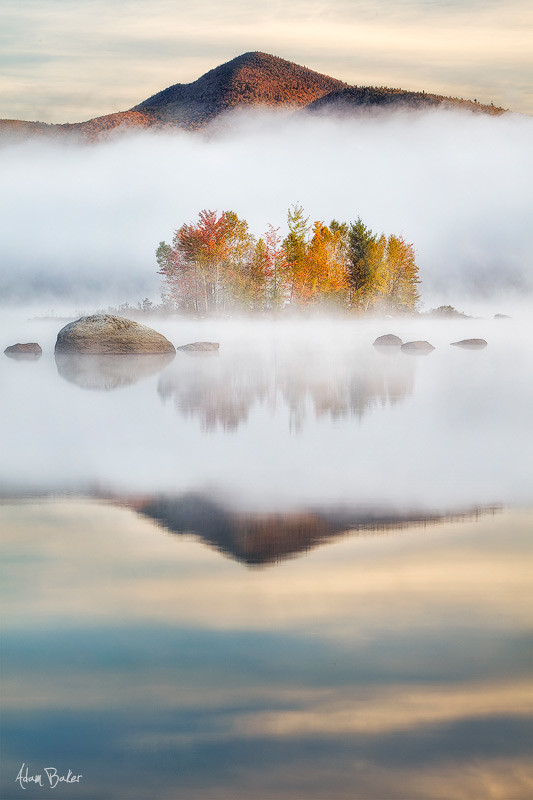
Chittenden Reservoir
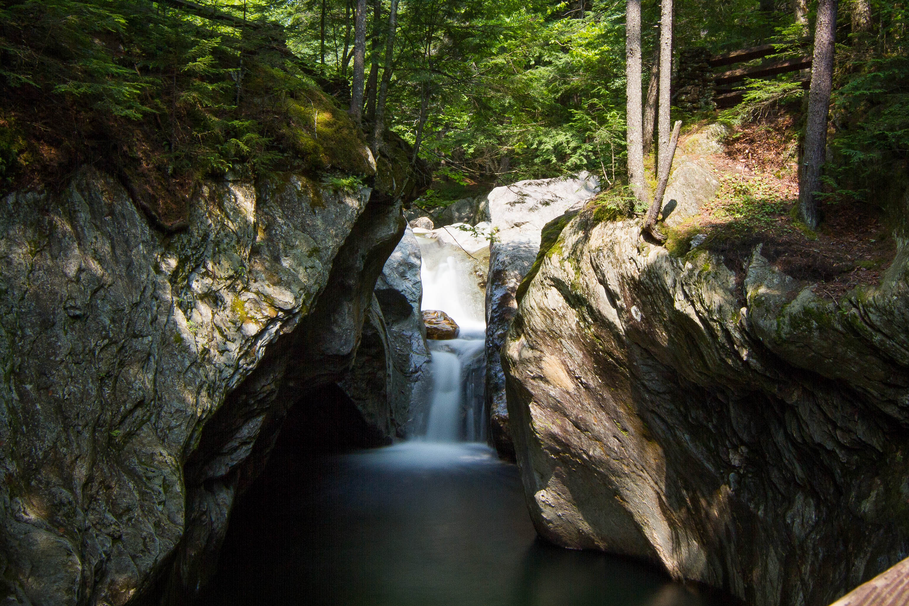
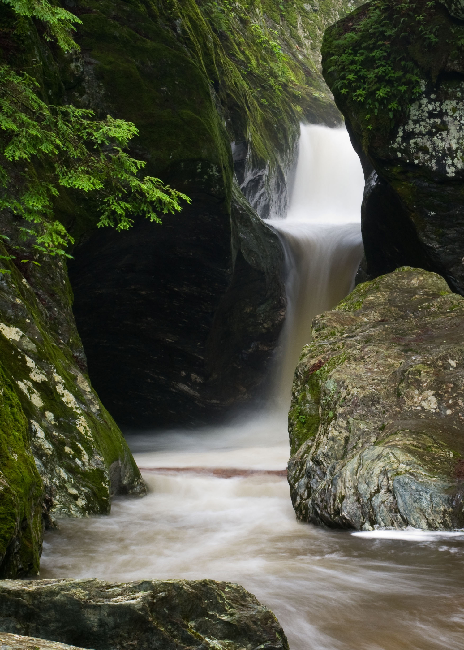
Texas Falls
Sedum enjoys her stroll - 10/4/12
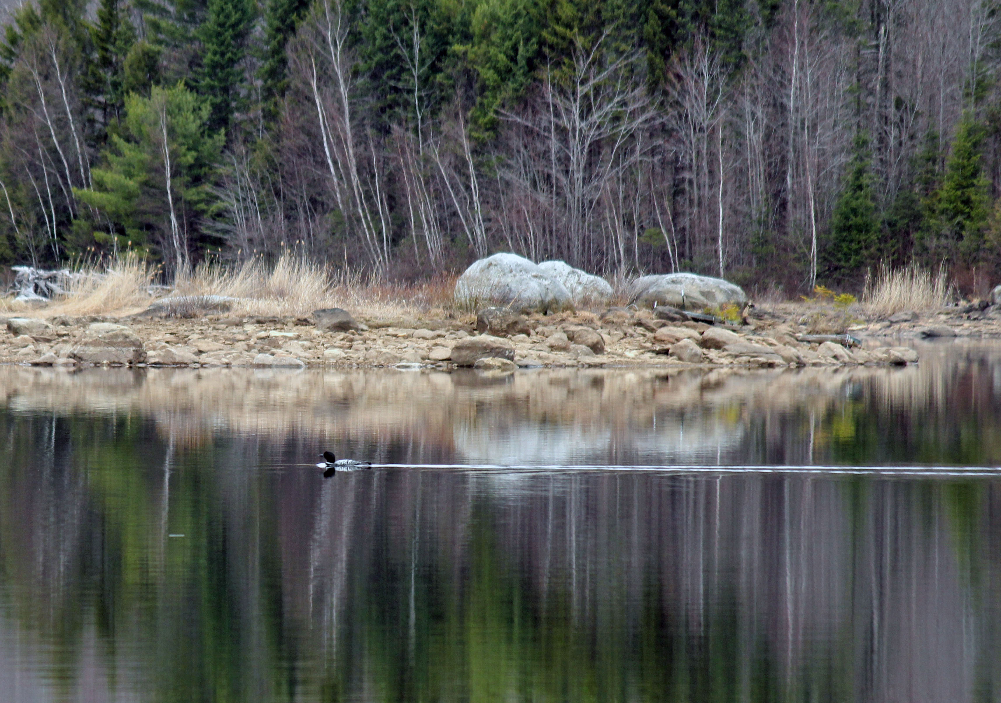
Loon - 5/1/15
Afternoon Light in Late November
Catamount Trail - 10/13/15
VT_Waterfalls-1232
Nikki & Sedum at Lefforts - 10/4/12
falls in fall
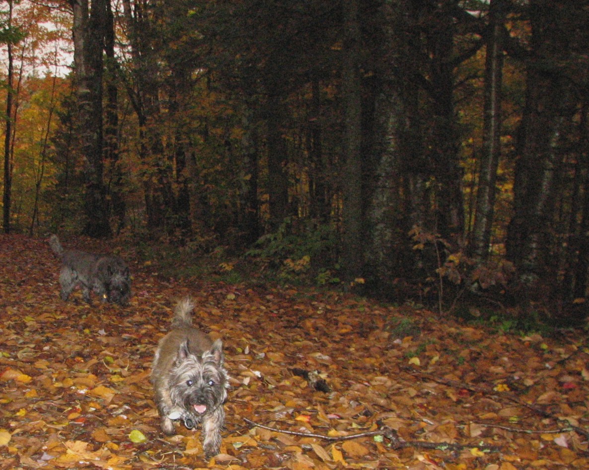
Sedum & Jeter - 11/18/15

First Signs of the Coming Winter
VT_Waterfalls-1179
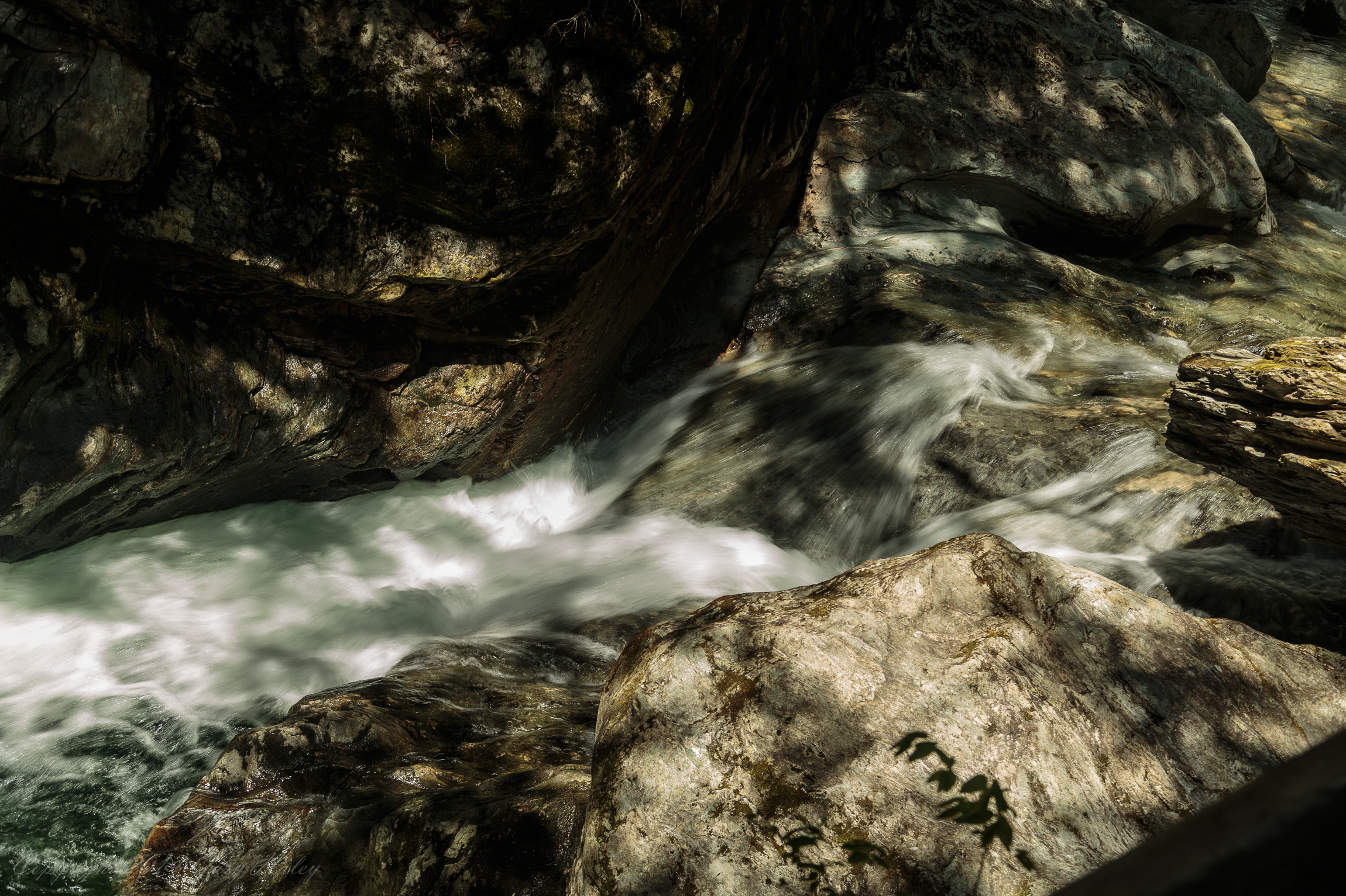
VT_Waterfalls-1201
Chittenden Res - 11/9/11
Topographic Map of Jerusalem Hill, Rochester, VT, USA
Find elevation by address:

Places near Jerusalem Hill, Rochester, VT, USA:
200 Anderson Ln
64 State Garage Rd, Rochester, VT, USA
Vermont 100
951 State Garage Rd
936 Brandon Mountain Rd
Rochester
Rochester, VT, USA
Pittsfield
Brandon Mountain Rd, Rochester, VT, USA
222 Churchville Rd
Hancock
Texas Falls
1320 Vt-125
Middlebury College Snow Bowl
VT-, Hancock, VT, USA
Goshen
2550 Birch Hill Rd
563 Westside Dr
Forest Dale Road
1182 Wheeler Rd
Recent Searches:
- Elevation of Corso Fratelli Cairoli, 35, Macerata MC, Italy
- Elevation of Tallevast Rd, Sarasota, FL, USA
- Elevation of 4th St E, Sonoma, CA, USA
- Elevation of Black Hollow Rd, Pennsdale, PA, USA
- Elevation of Oakland Ave, Williamsport, PA, USA
- Elevation of Pedrógão Grande, Portugal
- Elevation of Klee Dr, Martinsburg, WV, USA
- Elevation of Via Roma, Pieranica CR, Italy
- Elevation of Tavkvetili Mountain, Georgia
- Elevation of Hartfords Bluff Cir, Mt Pleasant, SC, USA