Elevation of Jerico Springs, MO, USA
Location: United States > Missouri > Cedar County > Benton Township >
Longitude: -94.008551
Latitude: 37.6222649
Elevation: 310m / 1017feet
Barometric Pressure: 98KPa
Elevation Map:
Satellite Map:
Related Photos:
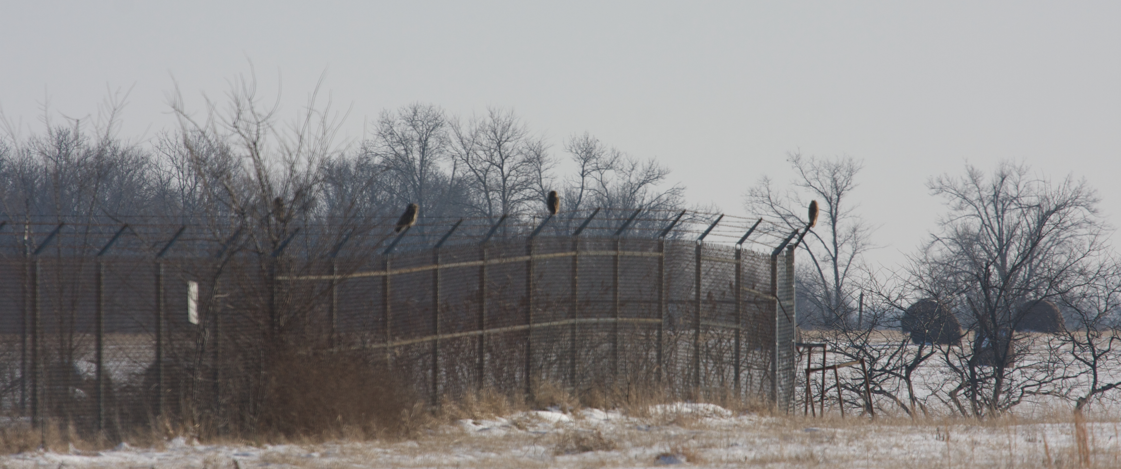
Short-eared Owls

Smith's Longspur - Dade Co, Mo

Smith's Longspur - Dade Co, Mo

Smith's Longspur - Dade Co, Mo

Harris's Sparrow - Dade Co, Mo
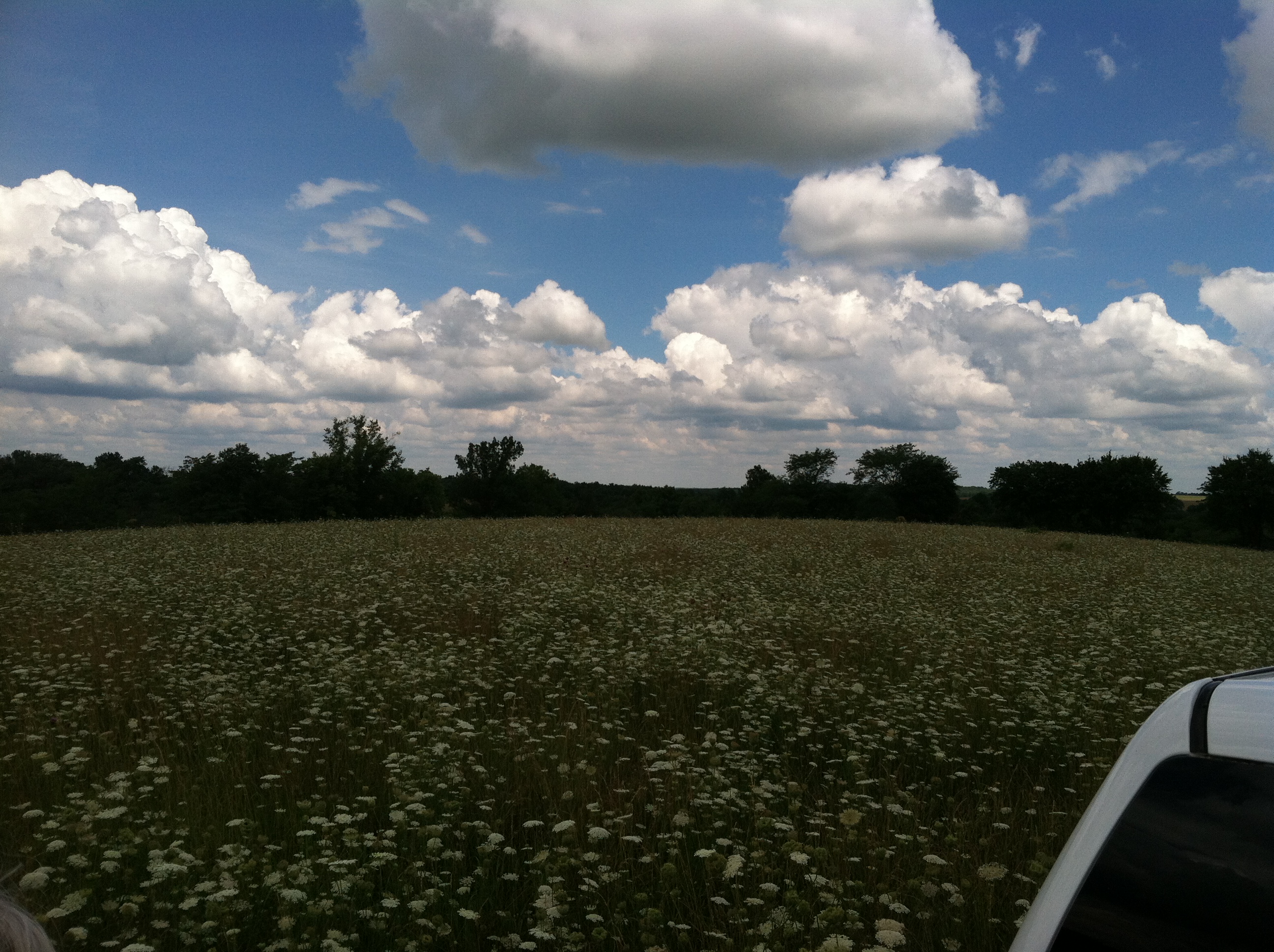
2013 06 farm 191
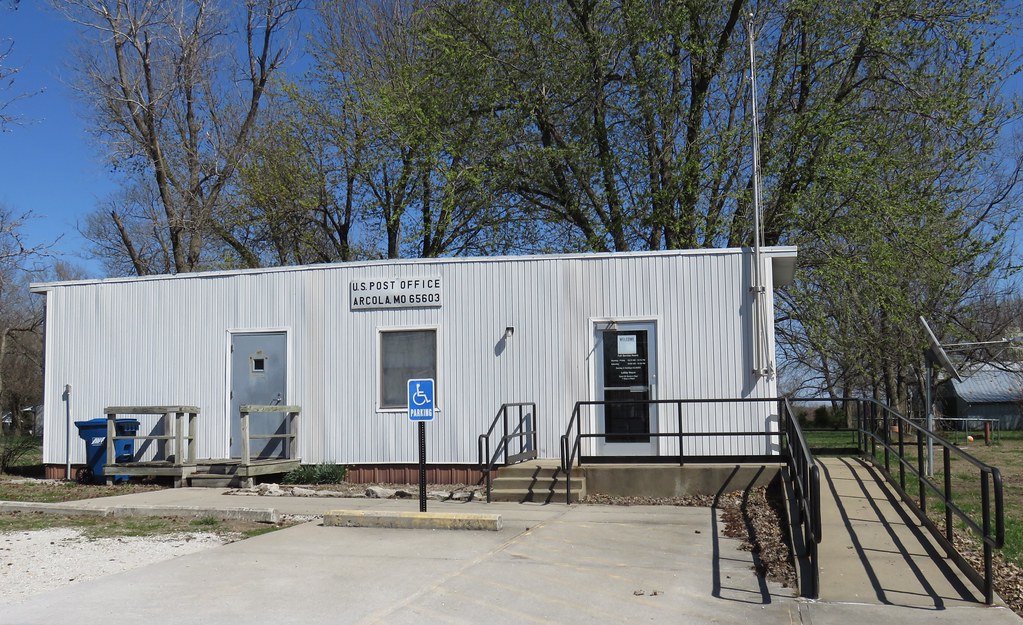
Post Office 65603 (Arcola, Missouri)
Topographic Map of Jerico Springs, MO, USA
Find elevation by address:

Places in Jerico Springs, MO, USA:
Places near Jerico Springs, MO, USA:
State Hwy 97, Jerico Springs, MO, USA
Benton Township
Dade County
S Rd, El Dorado Springs, MO, USA
Linn Township
Cedar County
7190 51 Rd
7190 51 Rd
7190 51 Rd
Box Township
12470 E 1100 Rd
State Highway U
3475 E 500 Rd
Route Bb
3475 E 380 Rd
3475 E 380 Rd
Stockton
County Rd H, Greenfield, MO, USA
Lamar Township
1401 S Park St
Recent Searches:
- Elevation of Congressional Dr, Stevensville, MD, USA
- Elevation of Bellview Rd, McLean, VA, USA
- Elevation of Stage Island Rd, Chatham, MA, USA
- Elevation of Shibuya Scramble Crossing, 21 Udagawacho, Shibuya City, Tokyo -, Japan
- Elevation of Jadagoniai, Kaunas District Municipality, Lithuania
- Elevation of Pagonija rock, Kranto 7-oji g. 8"N, Kaunas, Lithuania
- Elevation of Co Rd 87, Jamestown, CO, USA
- Elevation of Tenjo, Cundinamarca, Colombia
- Elevation of Côte-des-Neiges, Montreal, QC H4A 3J6, Canada
- Elevation of Bobcat Dr, Helena, MT, USA