Elevation map of Jeremoabo - State of Bahia, Brazil
Location: Brazil > State Of Bahia >
Longitude: -38.347053
Latitude: -10.076062
Elevation: 272m / 892feet
Barometric Pressure: 98KPa
Elevation Map:
Satellite Map:
Related Photos:
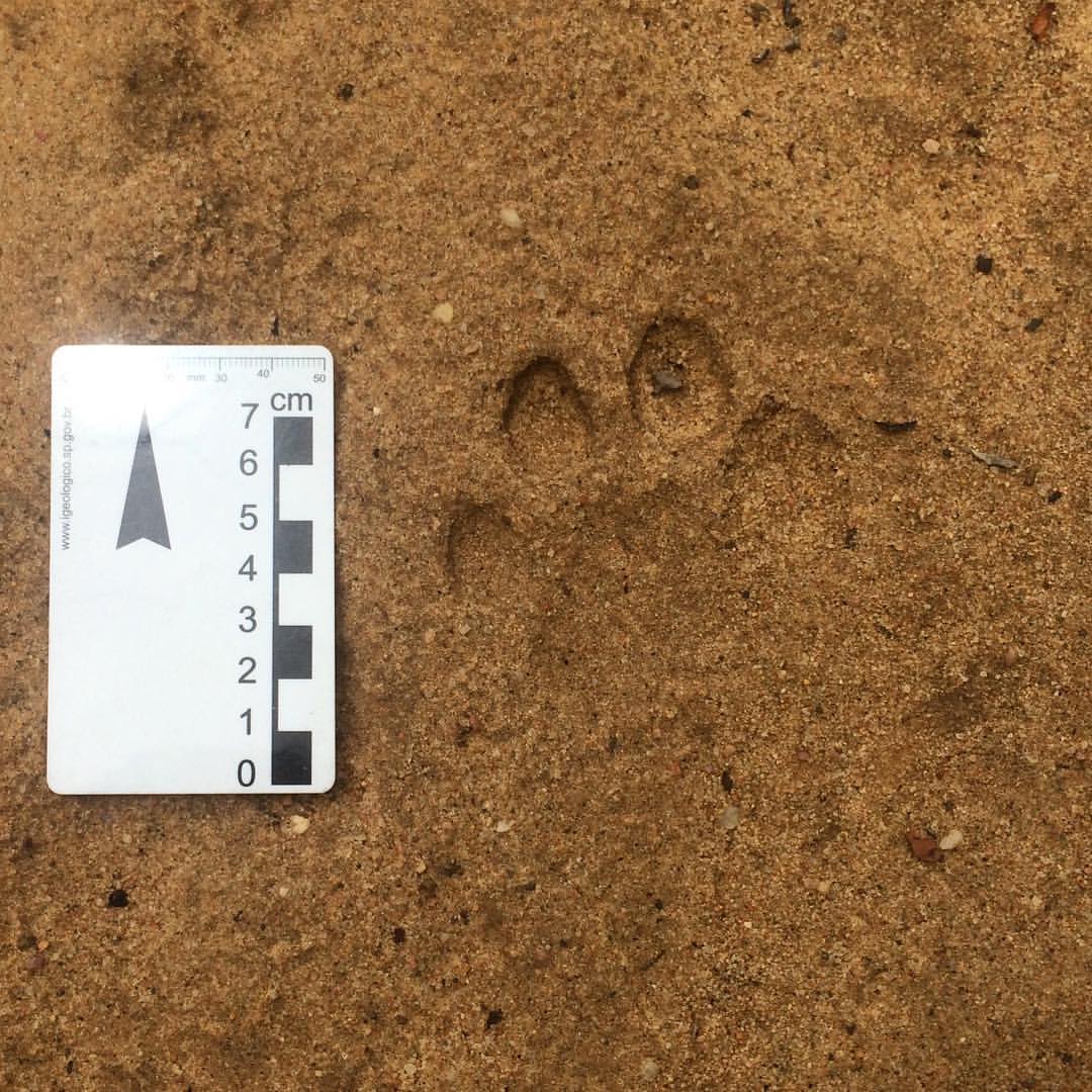
Acho que vi um gatinho... pelo menos a pegada. #geo #campo #onca #rasodacatarina #sertao
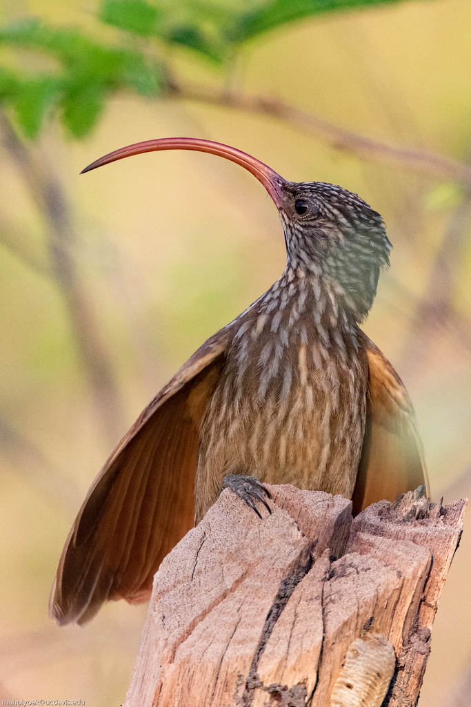
Red-billed Scythebill (Campylorhamphus trochilirostris major), Jeremoabo, Bahia, BR, 20160115-110.jpg
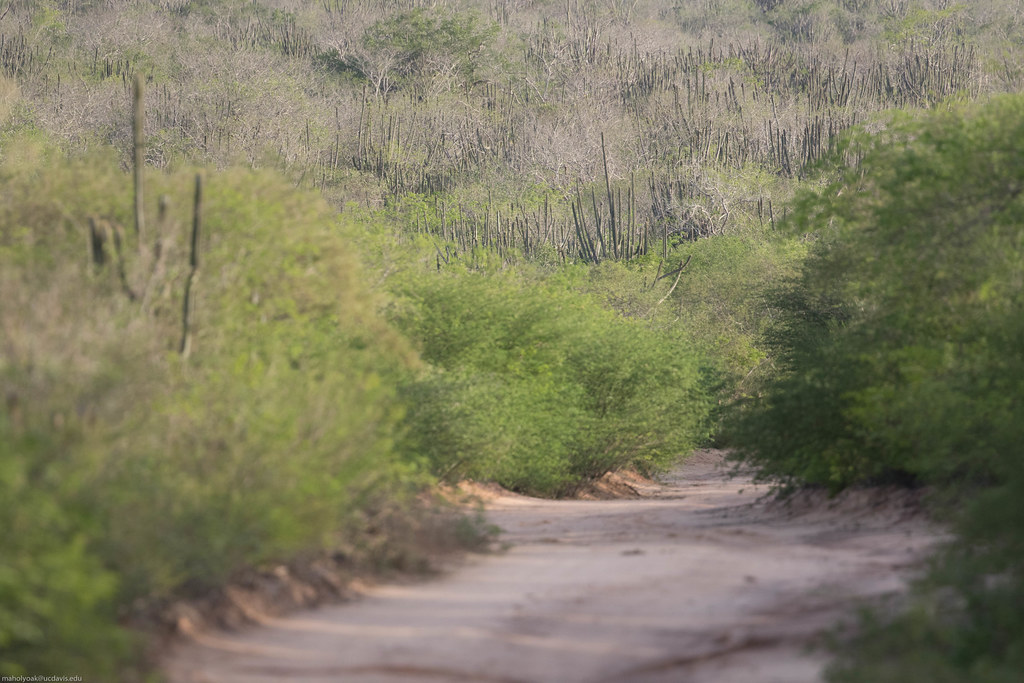
cerrado views, Jeremoabo, Bahia, BR, 20160115-101.jpg
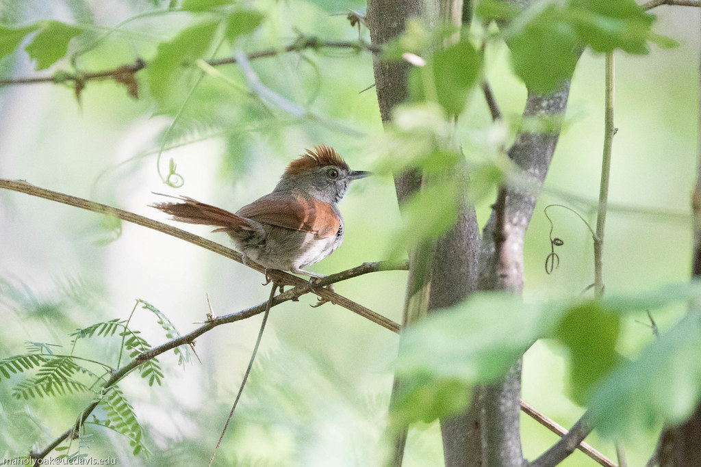
Sooty-fronted Spinetail (Synallaxis frontalis), Jeremoabo, Bahia, BR, 20160115-101.jpg

Golden-green Woodpecker (Piculus chrysochloros), Jeremoabo, Bahia, BR, 20160115-102.jpg
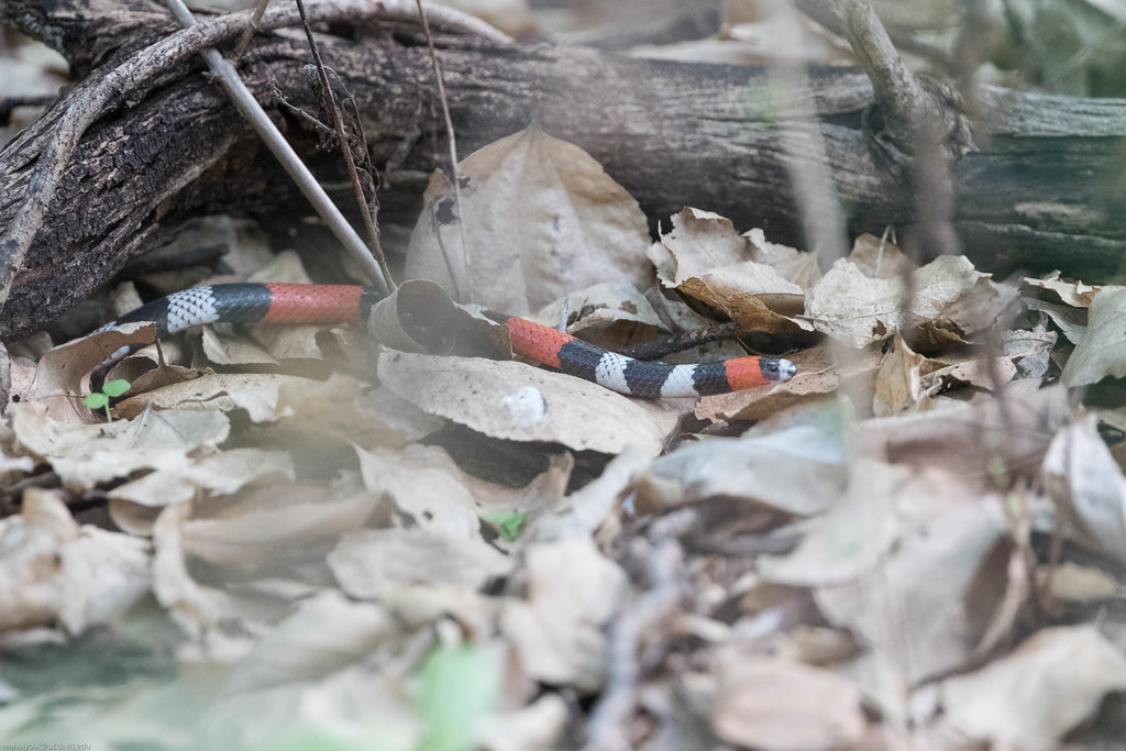
snake, Jeremoabo, Bahia, BR, 20160115-105.jpg
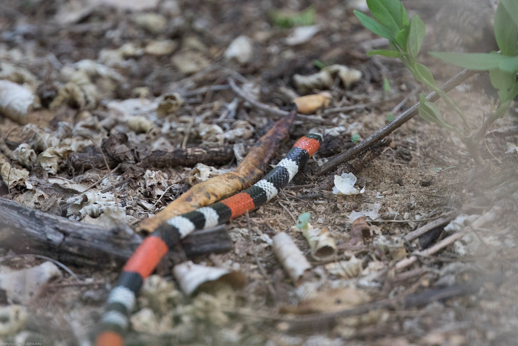
snake, Jeremoabo, Bahia, BR, 20160115-102.jpg
Topographic Map of Jeremoabo - State of Bahia, Brazil
Find elevation by address:

Recent Searches:
- Elevation of 64 Danakas Dr, Winnipeg, MB R2C 5N7, Canada
- Elevation of 4 Vale Rd, Sheffield S3 9QX, UK
- Elevation of Keene Point Drive, Keene Point Dr, Grant, AL, USA
- Elevation of State St, Zanesville, OH, USA
- Elevation of Austin Stone Dr, Haslet, TX, USA
- Elevation of Bydgoszcz, Poland
- Elevation of Bydgoszcz, Poland
- Elevation of Calais Dr, Del Mar, CA, USA
- Elevation of Placer Mine Ln, West Jordan, UT, USA
- Elevation of E 63rd St, New York, NY, USA