Elevation of Jennifer Dr, Sardis, MS, USA
Location: United States > Mississippi > Panola County > Sardis >
Longitude: -89.739407
Latitude: 34.3449645
Elevation: 128m / 420feet
Barometric Pressure: 100KPa
Elevation Map:
Satellite Map:
Related Photos:
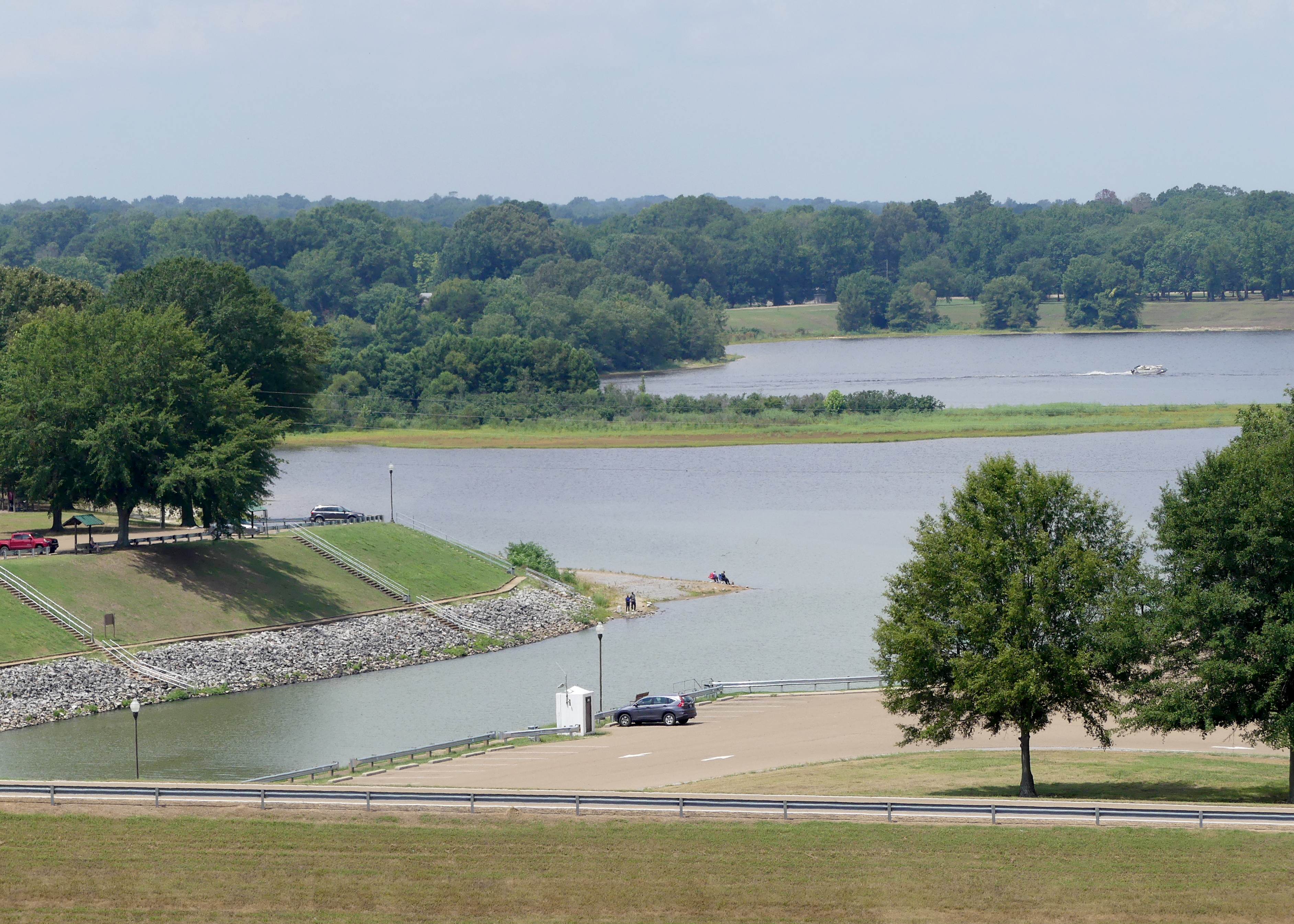
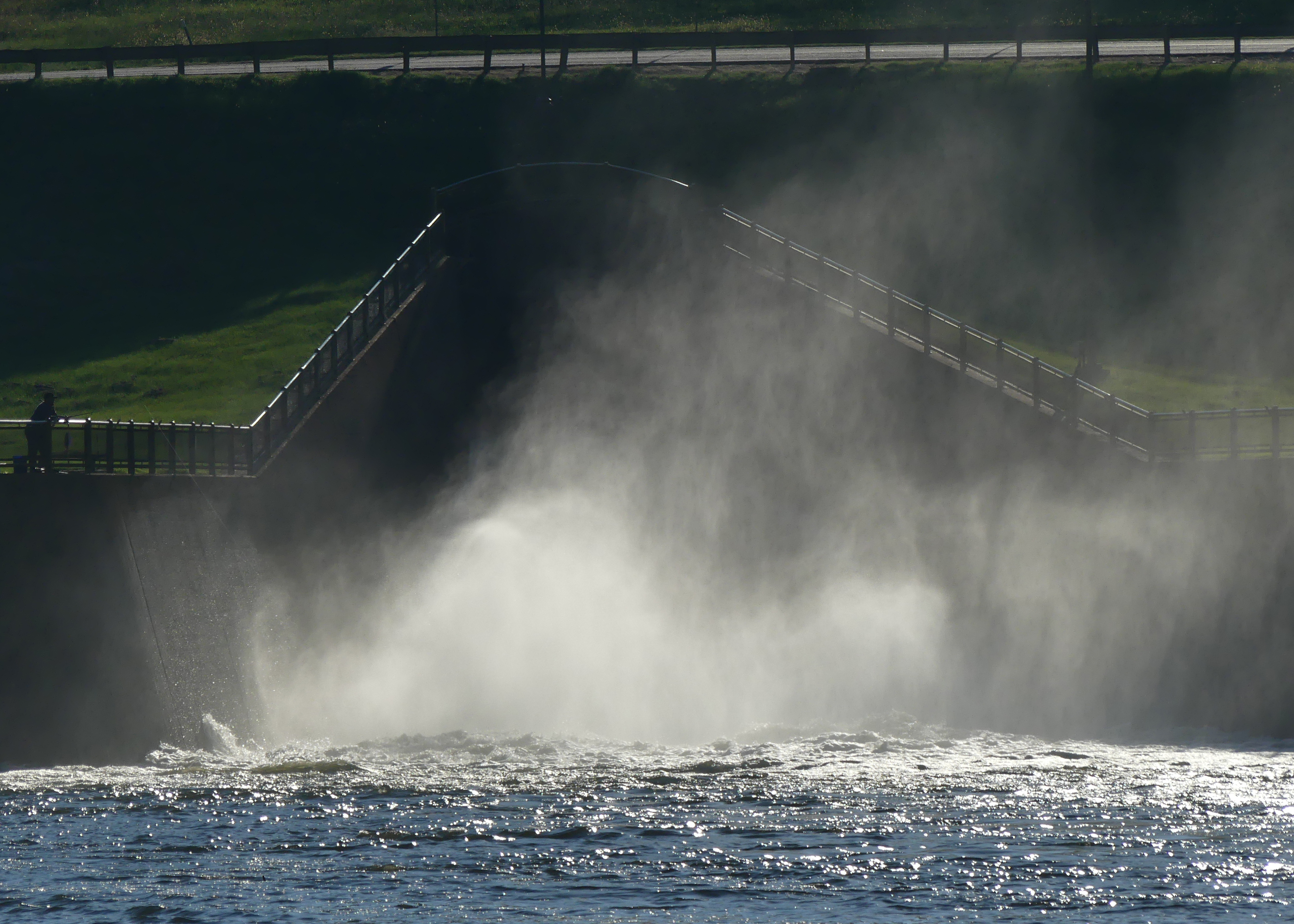
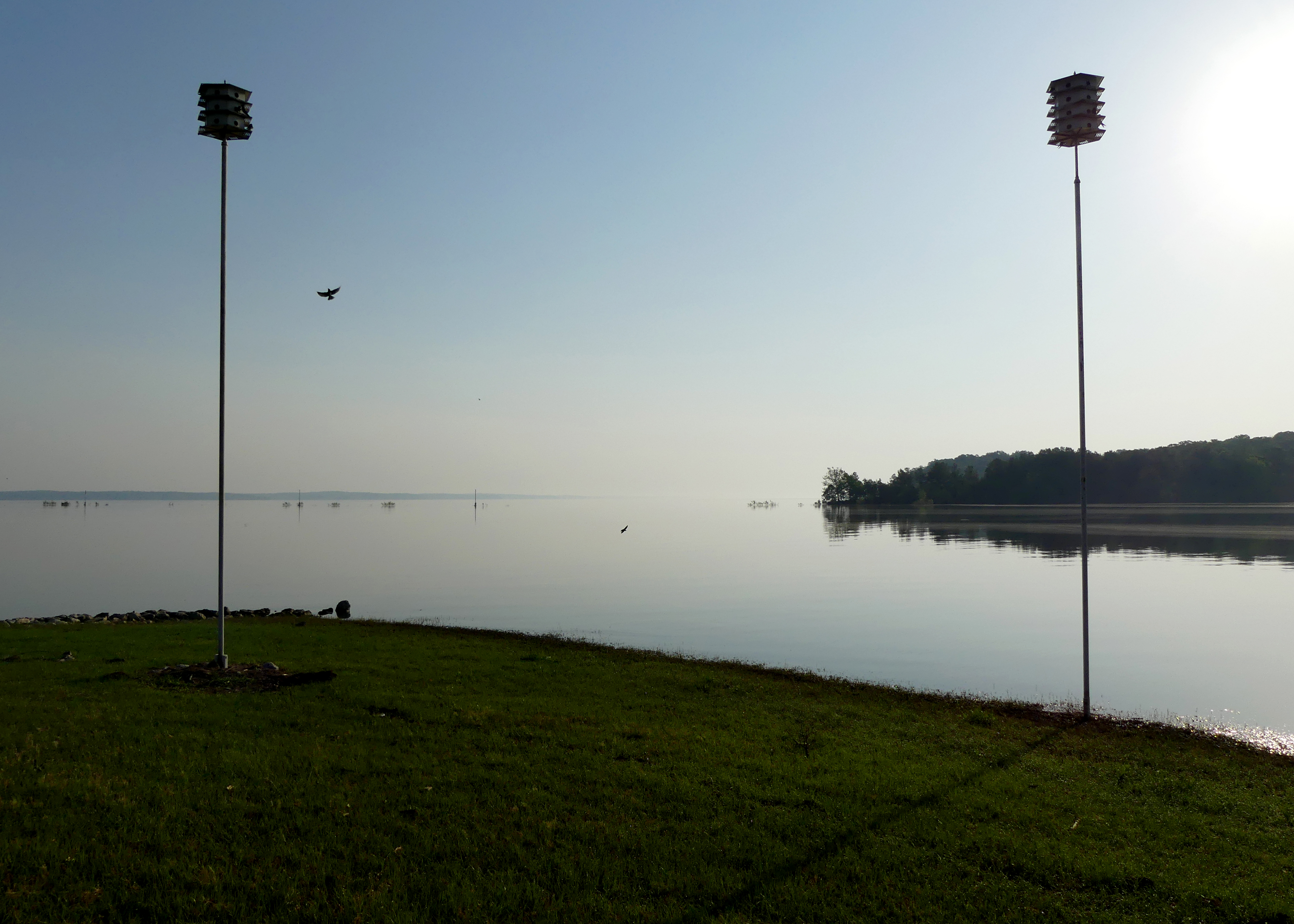
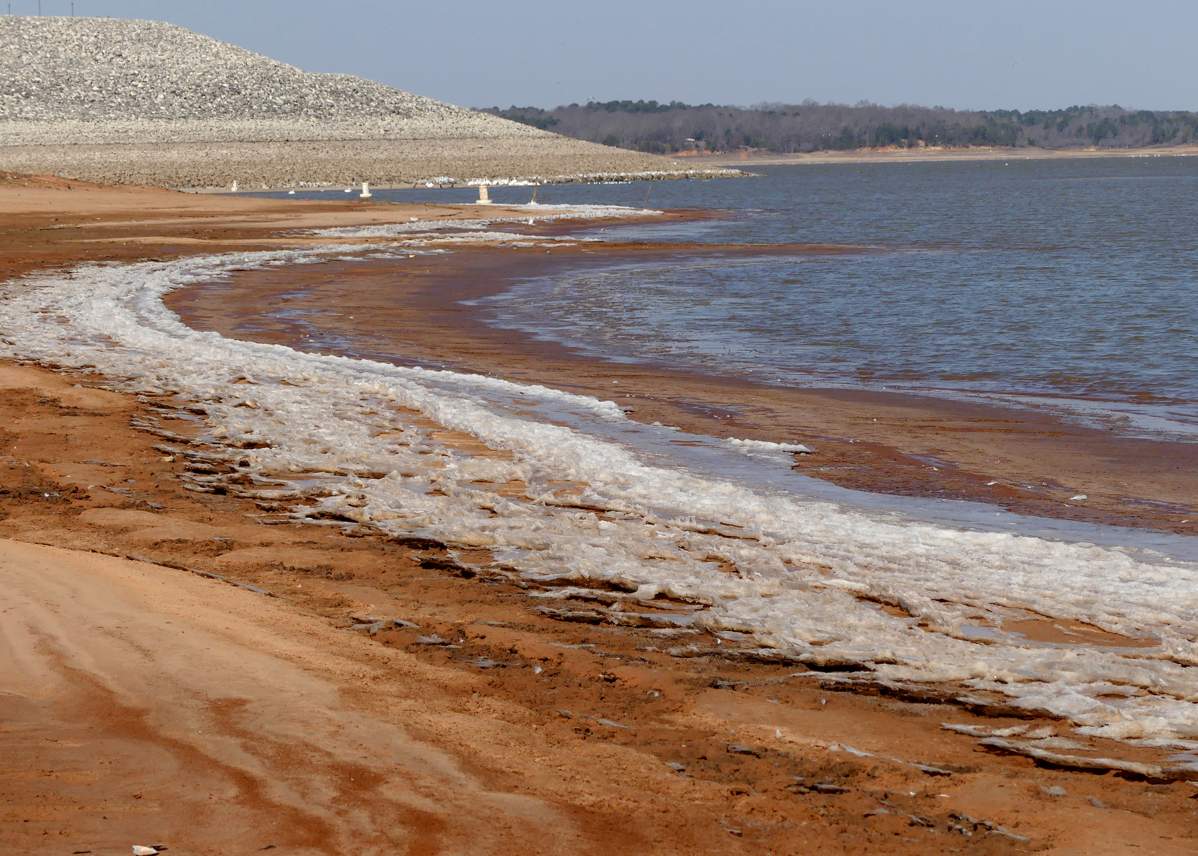
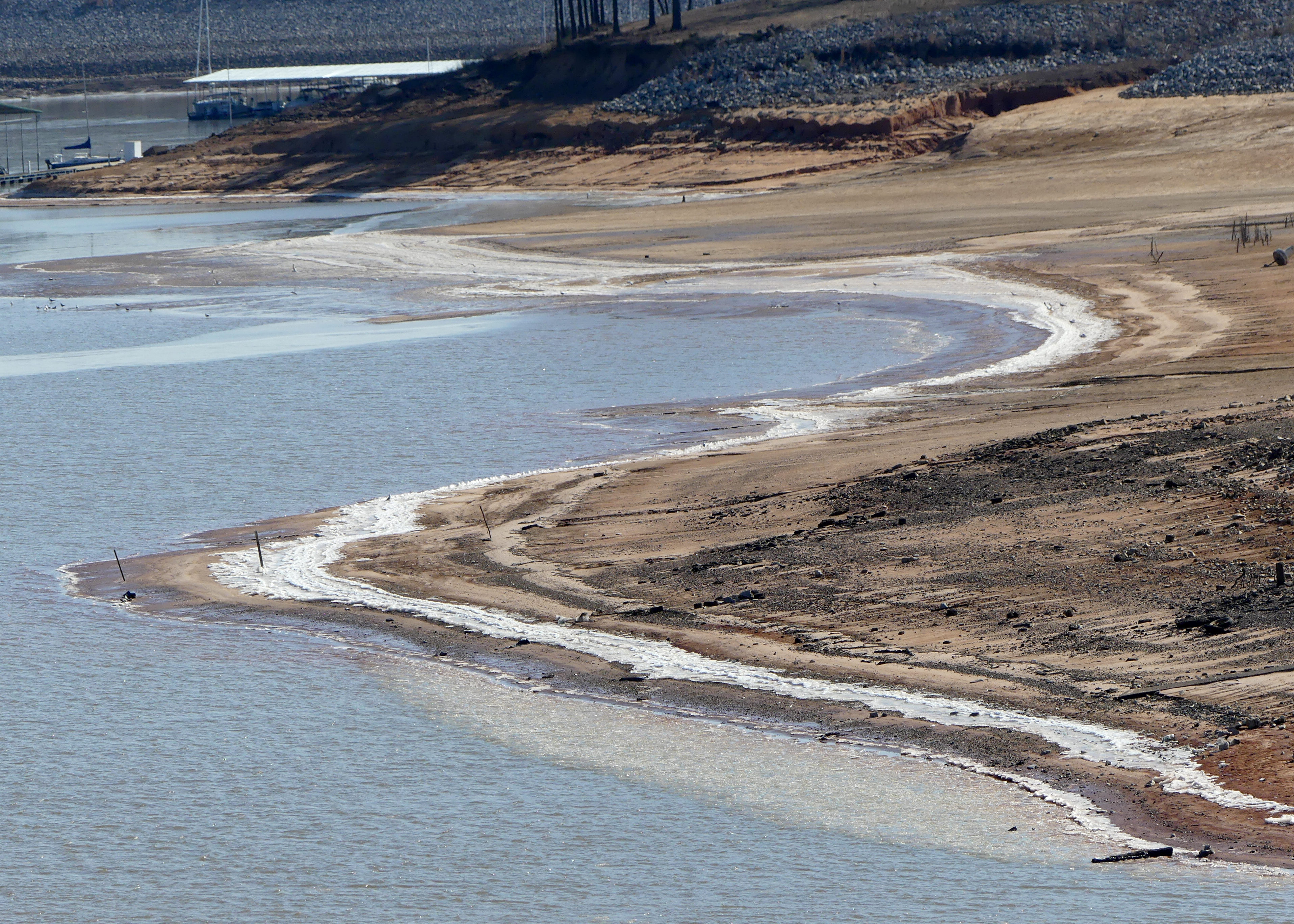
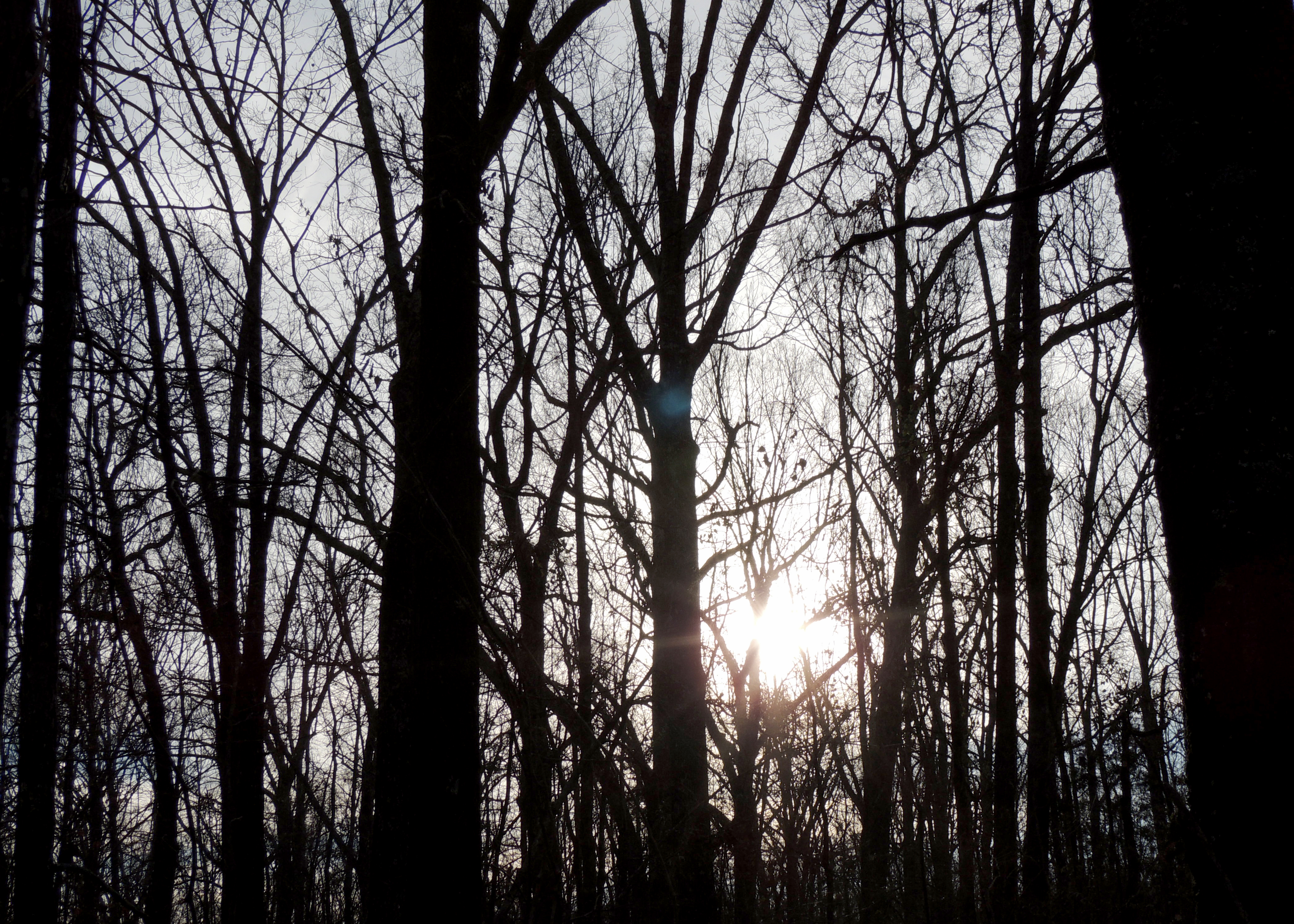
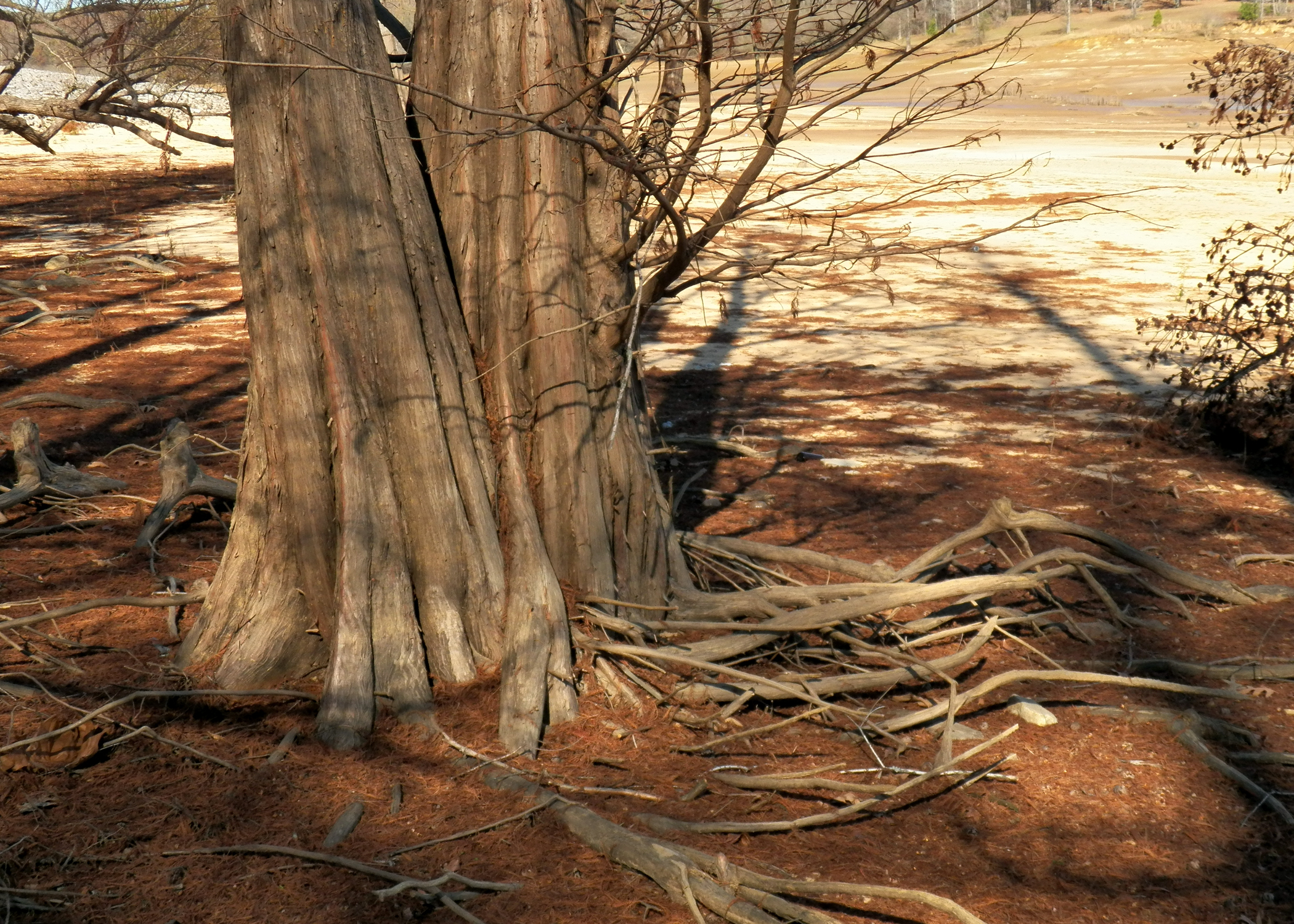
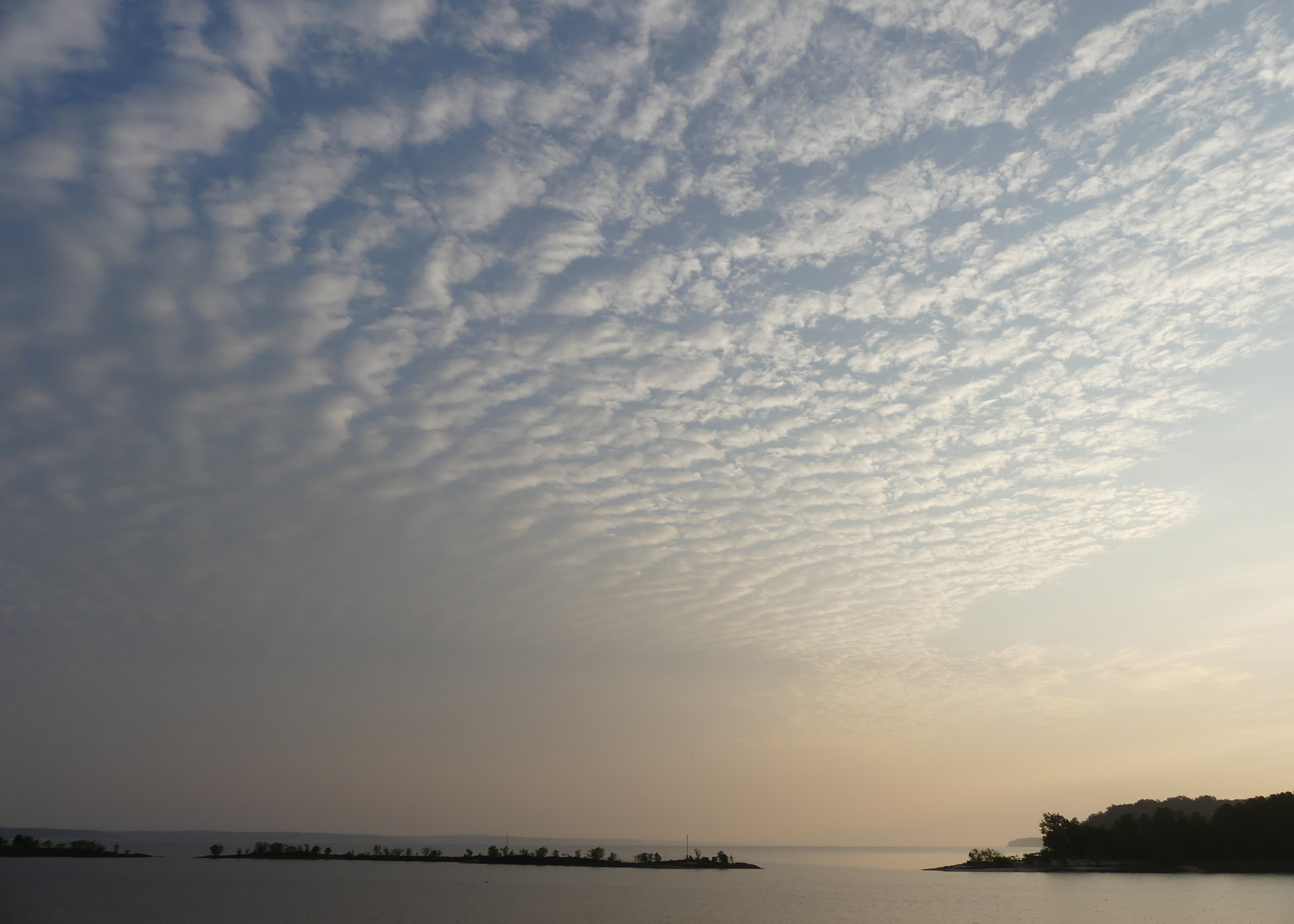
Sardis Lake
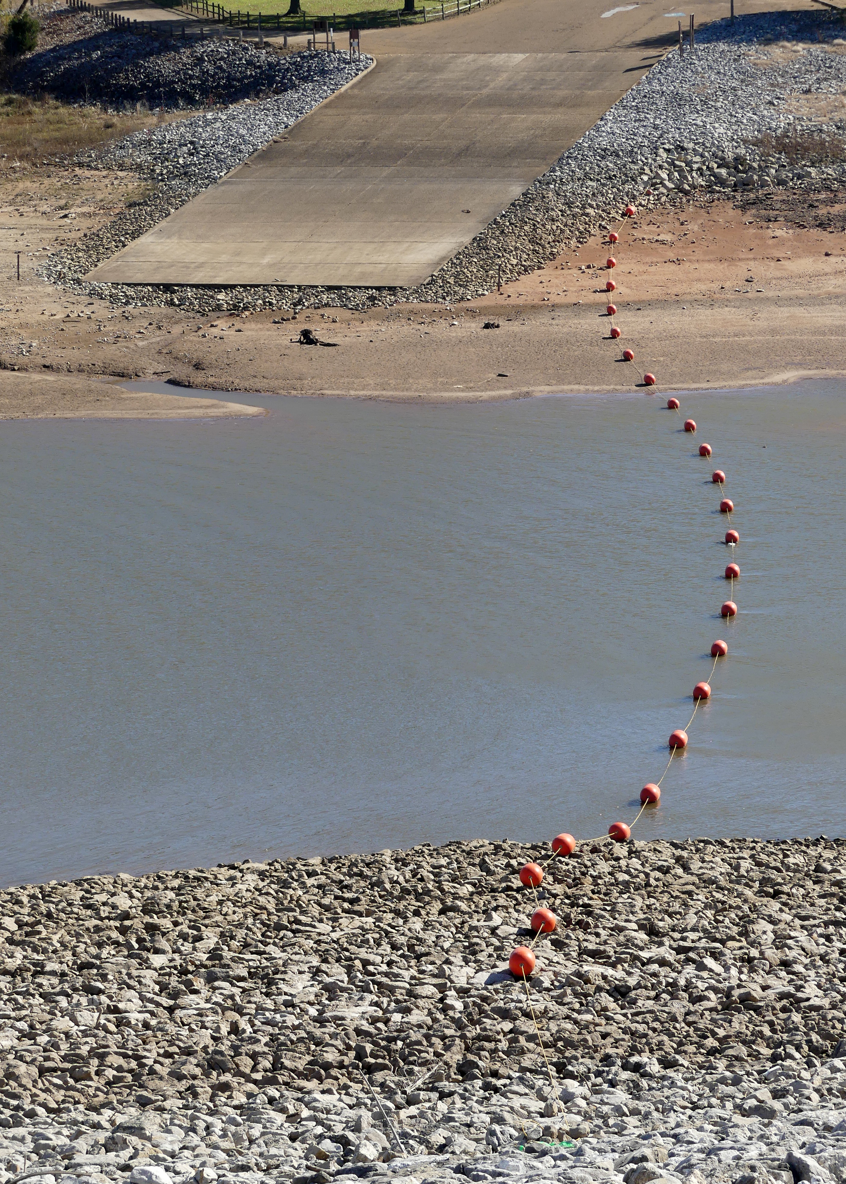
Clear Creek Landing

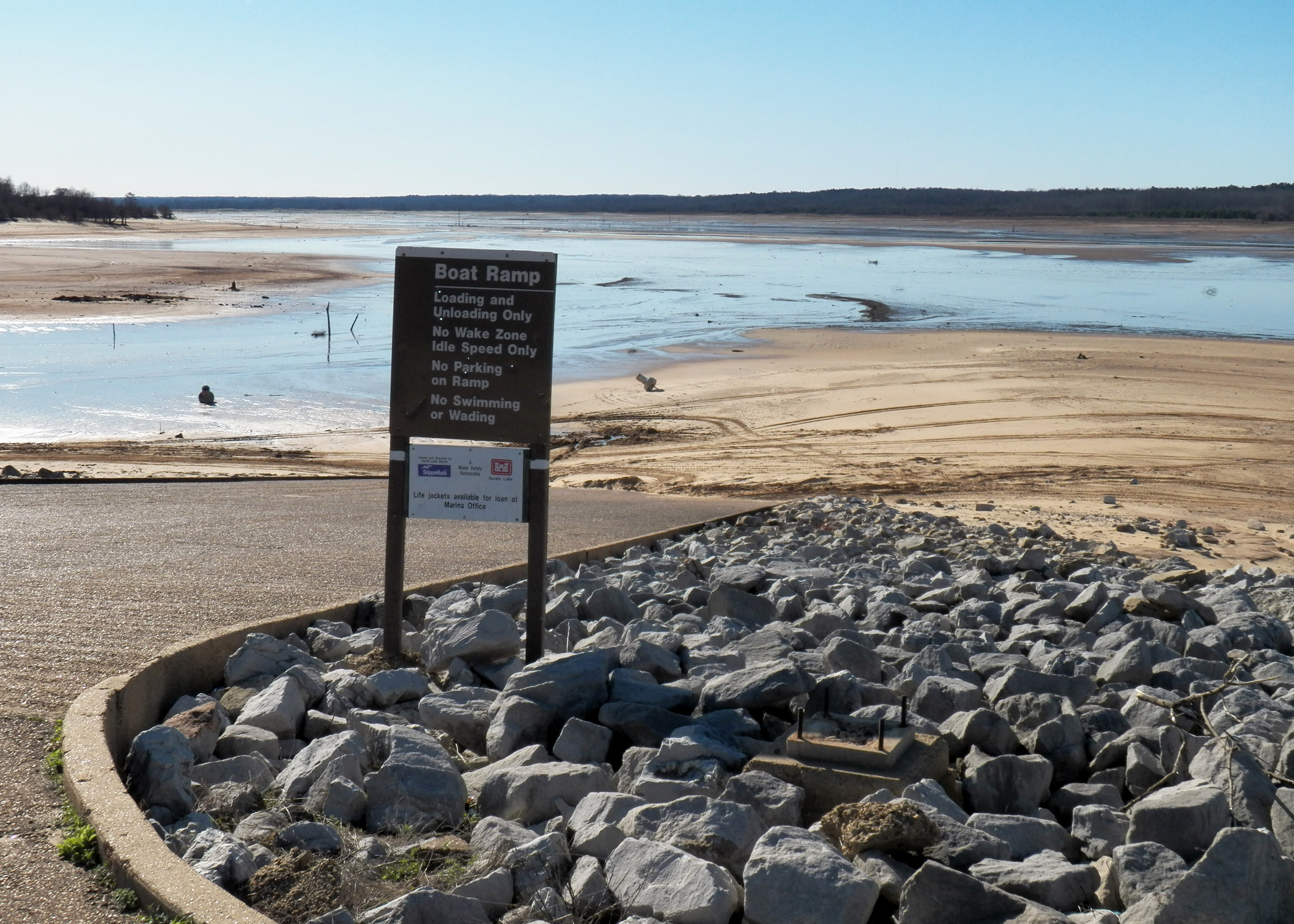
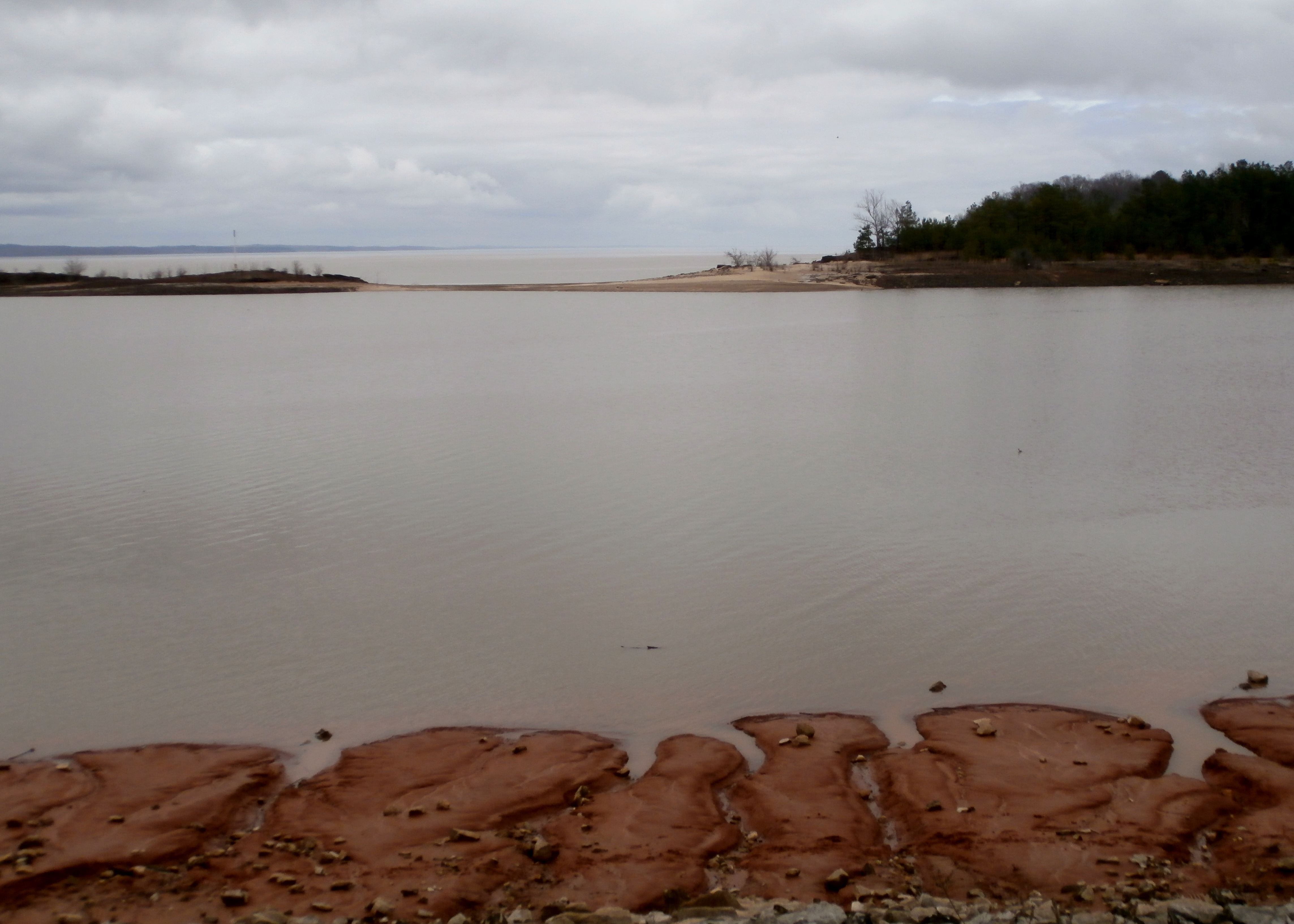
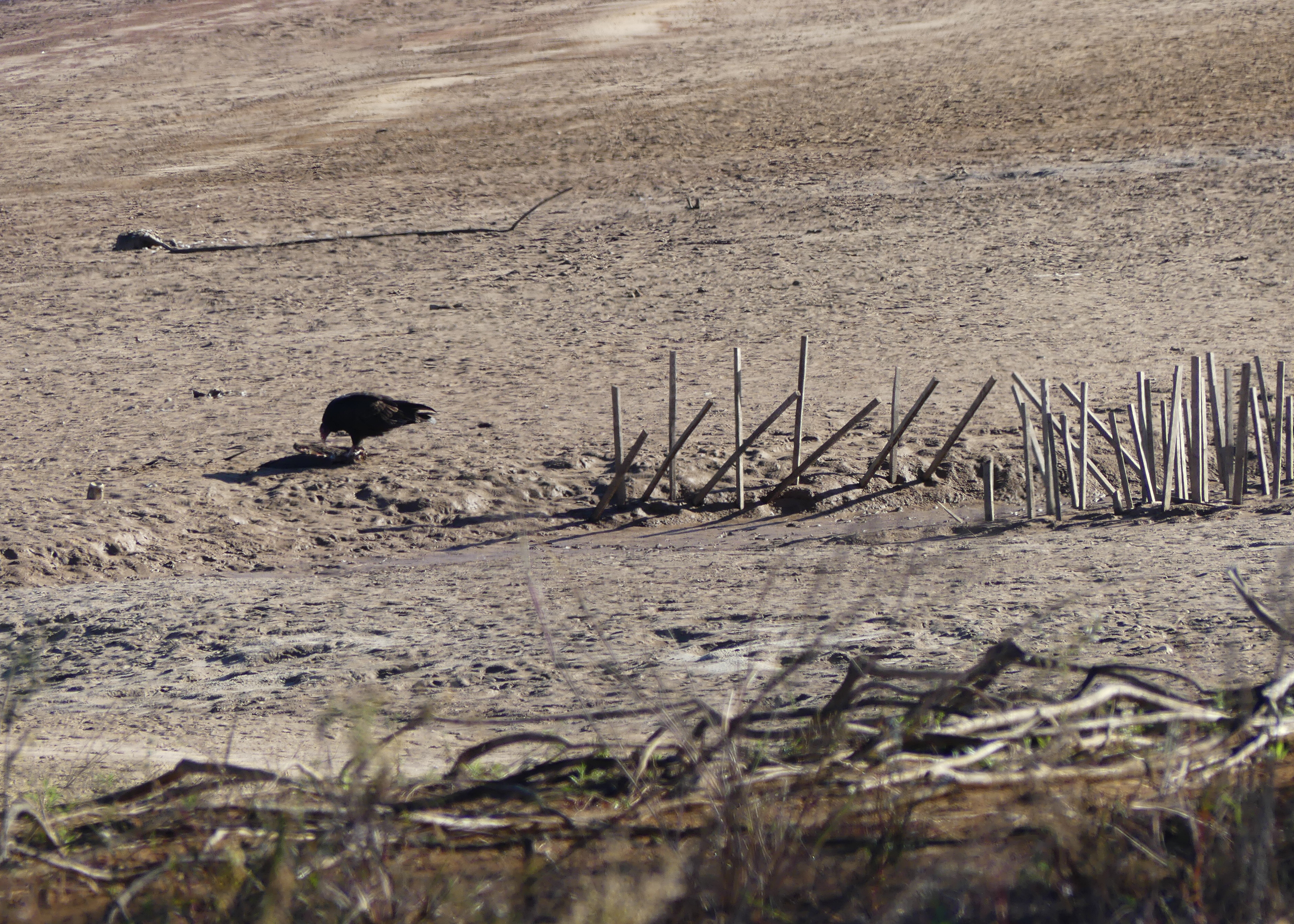
The Lake that Wasn't There
Clear Creek Landing
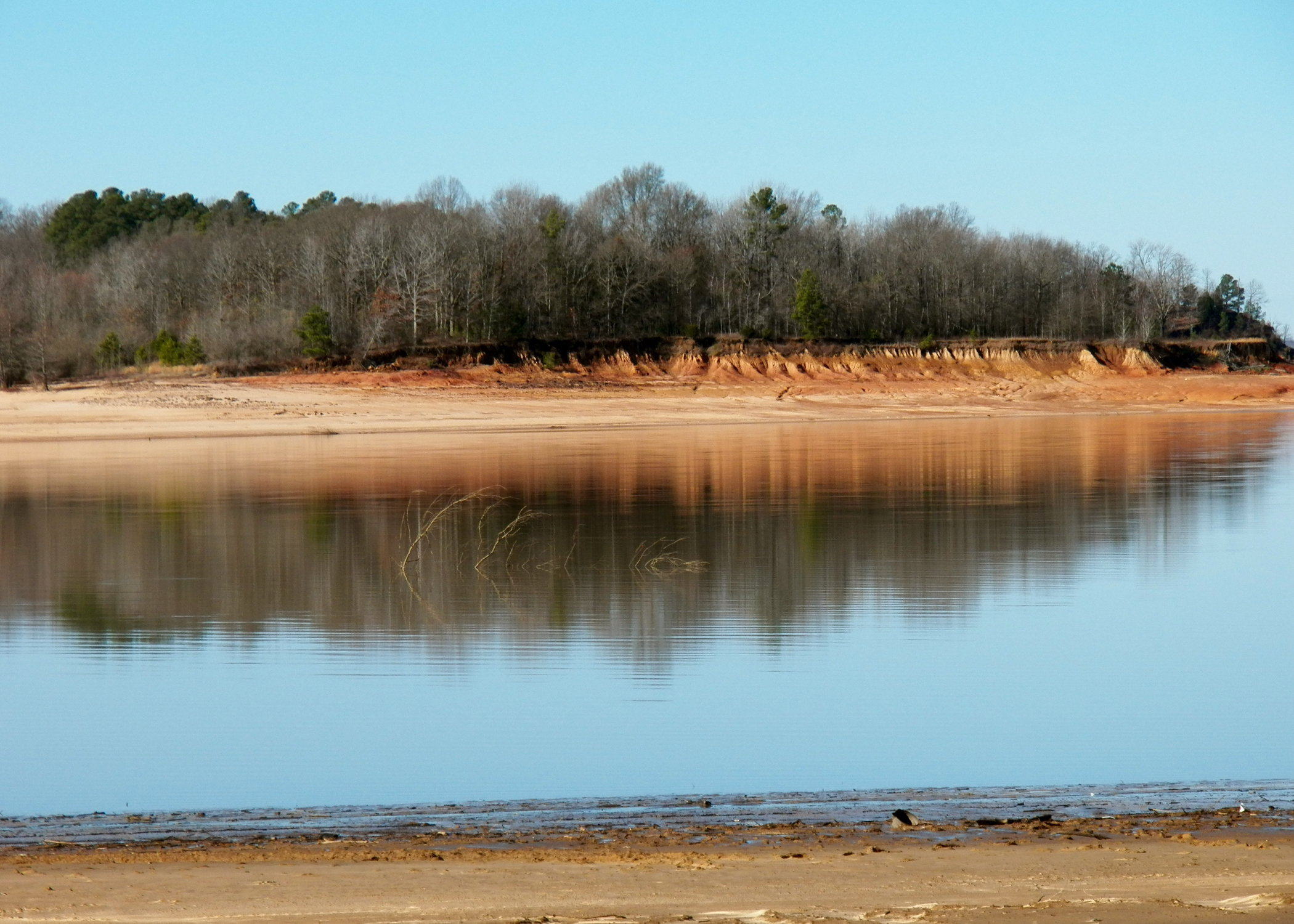
Sardis Lake
Sardis Lake
Sardis Lake
Sardis Lake
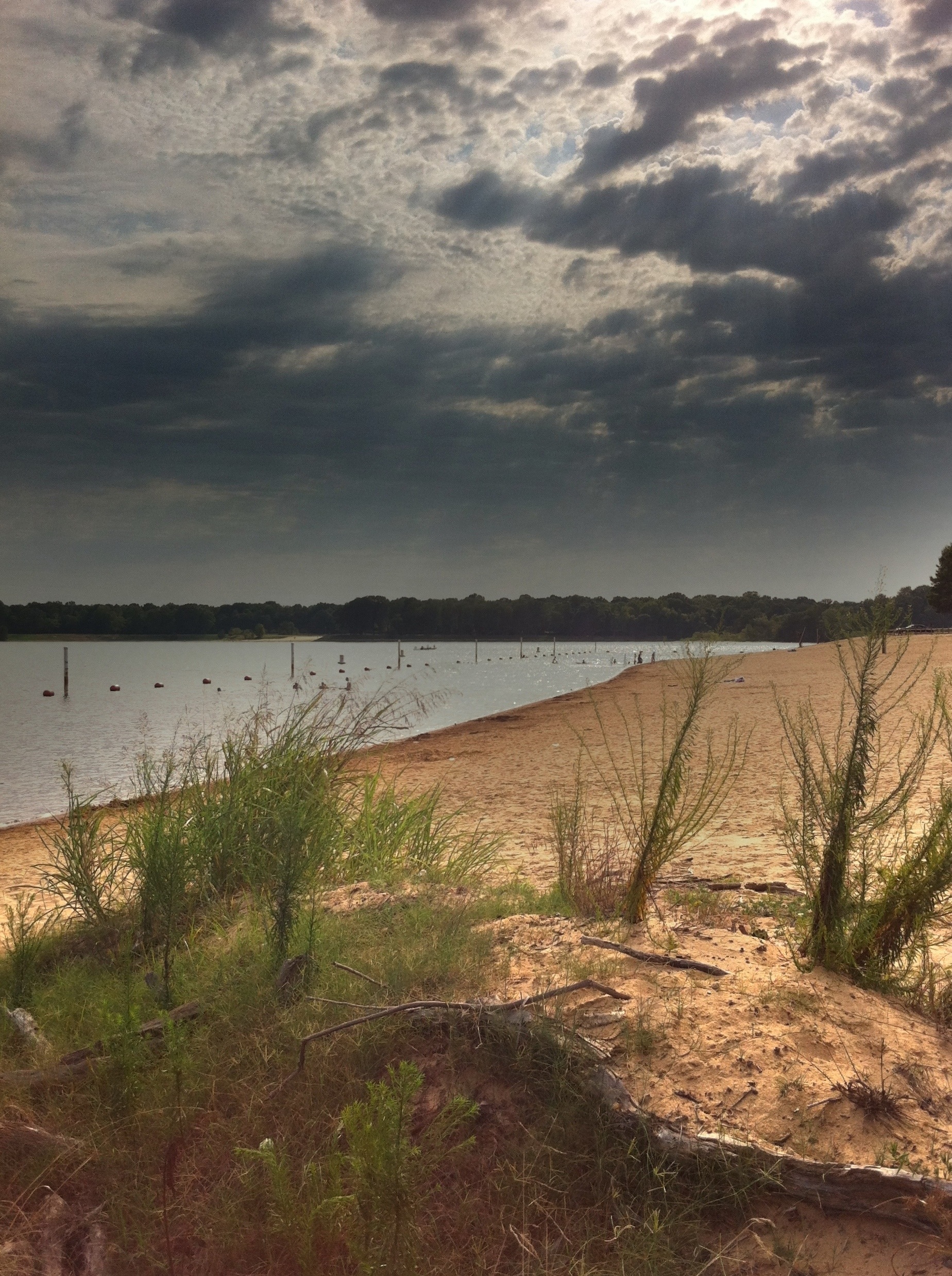
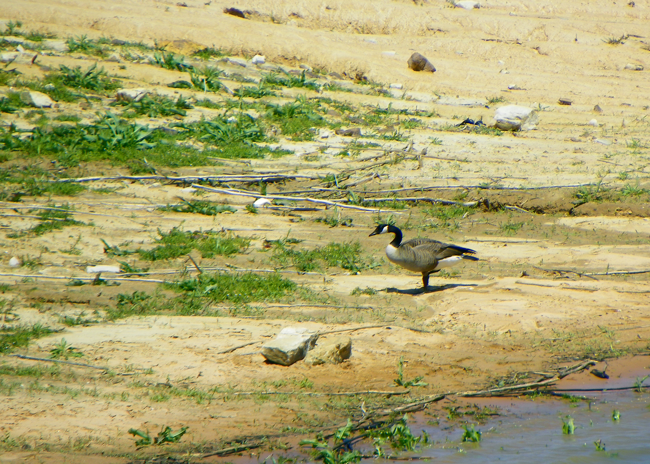
Beach Revisited
Sardis Lake

Sardis Lake
Sardis Lake

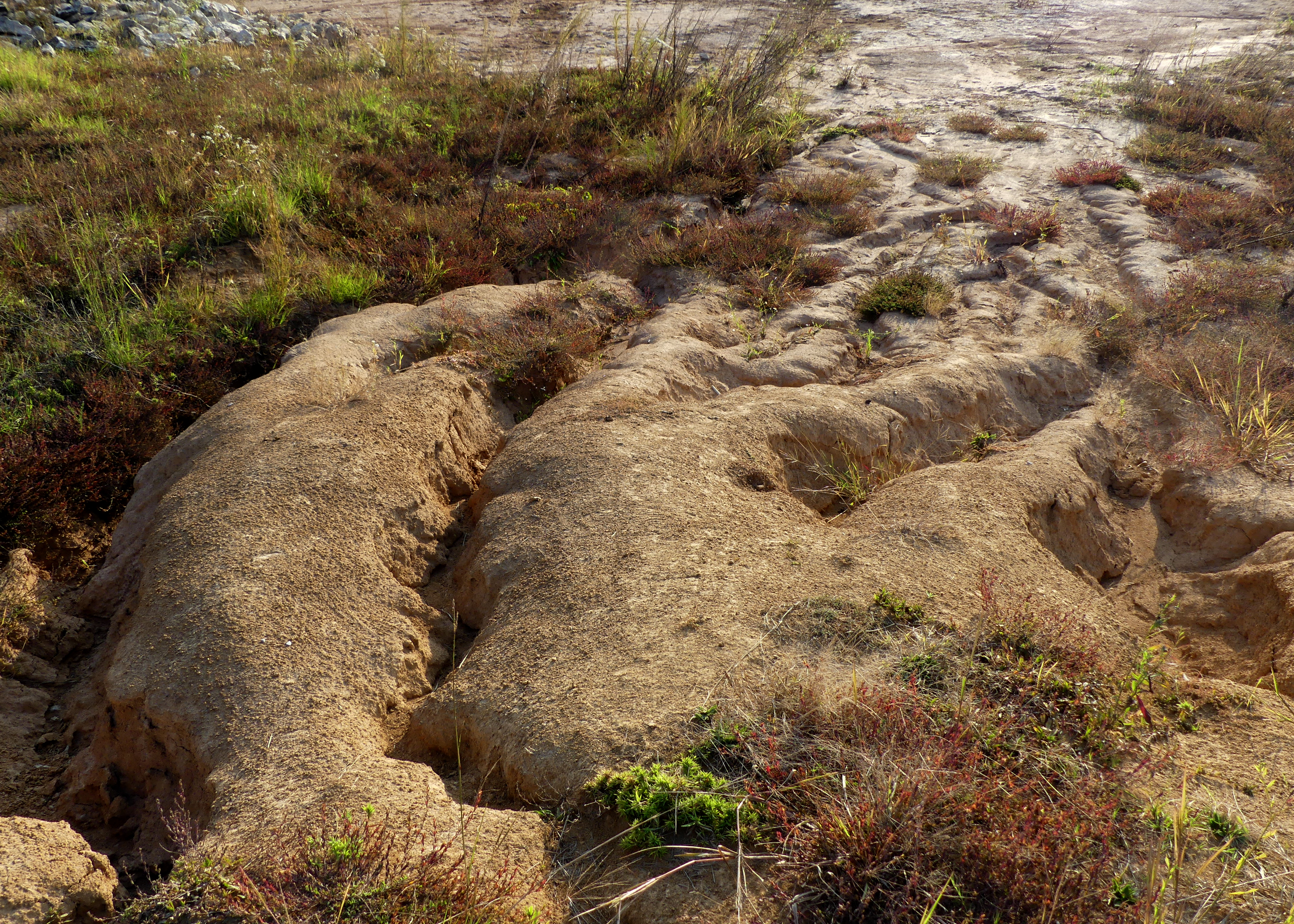
Sandstone Nature Trail

Sardis Lake

Sardis Lake
Sandstone Nature Trail
Sardis Lake
Sardis Lake
Sardis Lake
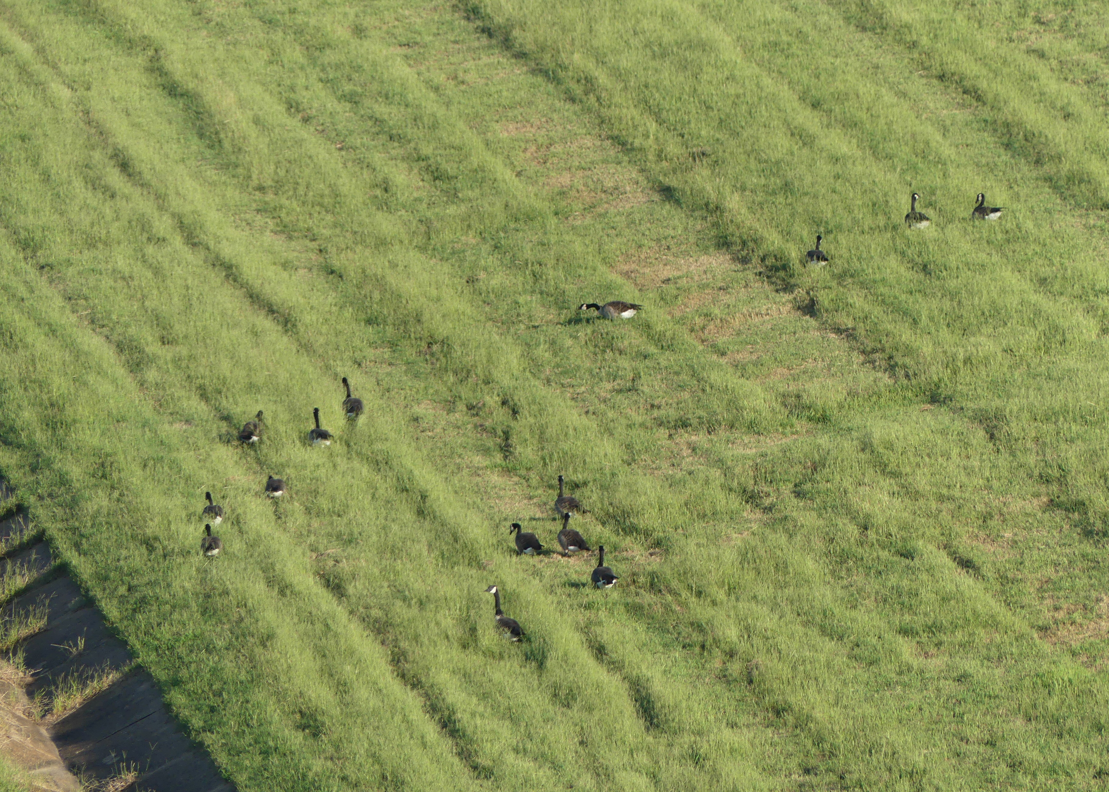
Canada goose

Sardis Lake
Sardis Lake
Sardis Lake
Topographic Map of Jennifer Dr, Sardis, MS, USA
Find elevation by address:

Places near Jennifer Dr, Sardis, MS, USA:
Clear Creek Rd, Taylor, MS, USA
60 River Rd, Sardis, MS, USA
Terza Rd, Batesville, MS, USA
12101 Eureka Rd
64 Oak Grove Rd
64 Oak Grove Rd
Meadowview
118 Meadowview Dr
Thacker Mountain
Taylor
398 Bowen Rd
1185 Ms-6
1045 River Rd
College Hill
428 Turnberry Ct
2109 Old Taylor Rd
2109 Old Taylor Rd
260 Hwy 35 N
Palmer Dr, Oxford, MS, USA
Sardis
Recent Searches:
- Elevation of Woodland Oak Pl, Thousand Oaks, CA, USA
- Elevation of Brownsdale Rd, Renfrew, PA, USA
- Elevation of Corcoran Ln, Suffolk, VA, USA
- Elevation of Mamala II, Sariaya, Quezon, Philippines
- Elevation of Sarangdanda, Nepal
- Elevation of 7 Waterfall Way, Tomball, TX, USA
- Elevation of SW 57th Ave, Portland, OR, USA
- Elevation of Crocker Dr, Vacaville, CA, USA
- Elevation of Pu Ngaol Community Meeting Hall, HWHM+3X7, Krong Saen Monourom, Cambodia
- Elevation of Royal Ontario Museum, Queens Park, Toronto, ON M5S 2C6, Canada