Elevation of Jefferson, WI, USA
Location: United States > Wisconsin > Vernon County >
Longitude: -90.962952
Latitude: 43.5758738
Elevation: 354m / 1161feet
Barometric Pressure: 97KPa
Elevation Map:
Satellite Map:
Related Photos:

Main Street America

Standing Watch

Aqueous Orbs Upon Silken Web

Inside Hay Loft

Enjoying the View

Viking Inn Supper Club

Tobacco Pool Side View

New Views #viroqua #driftless

Little White Church

MMM Waterfall OOB

Coon Creek Cycle

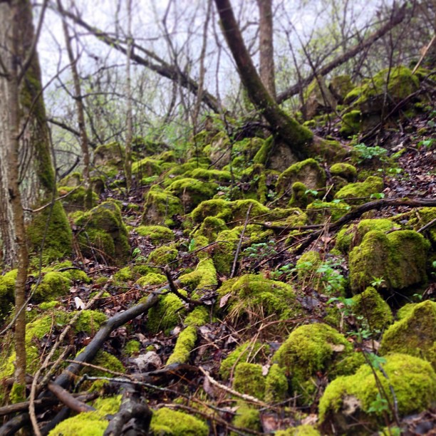
Environmental Geology Comes Home

Dry river gorge #Viroqua #Driftless #Wisconsin

Nice Place to Build a Barn

The Lake

Morning Fog
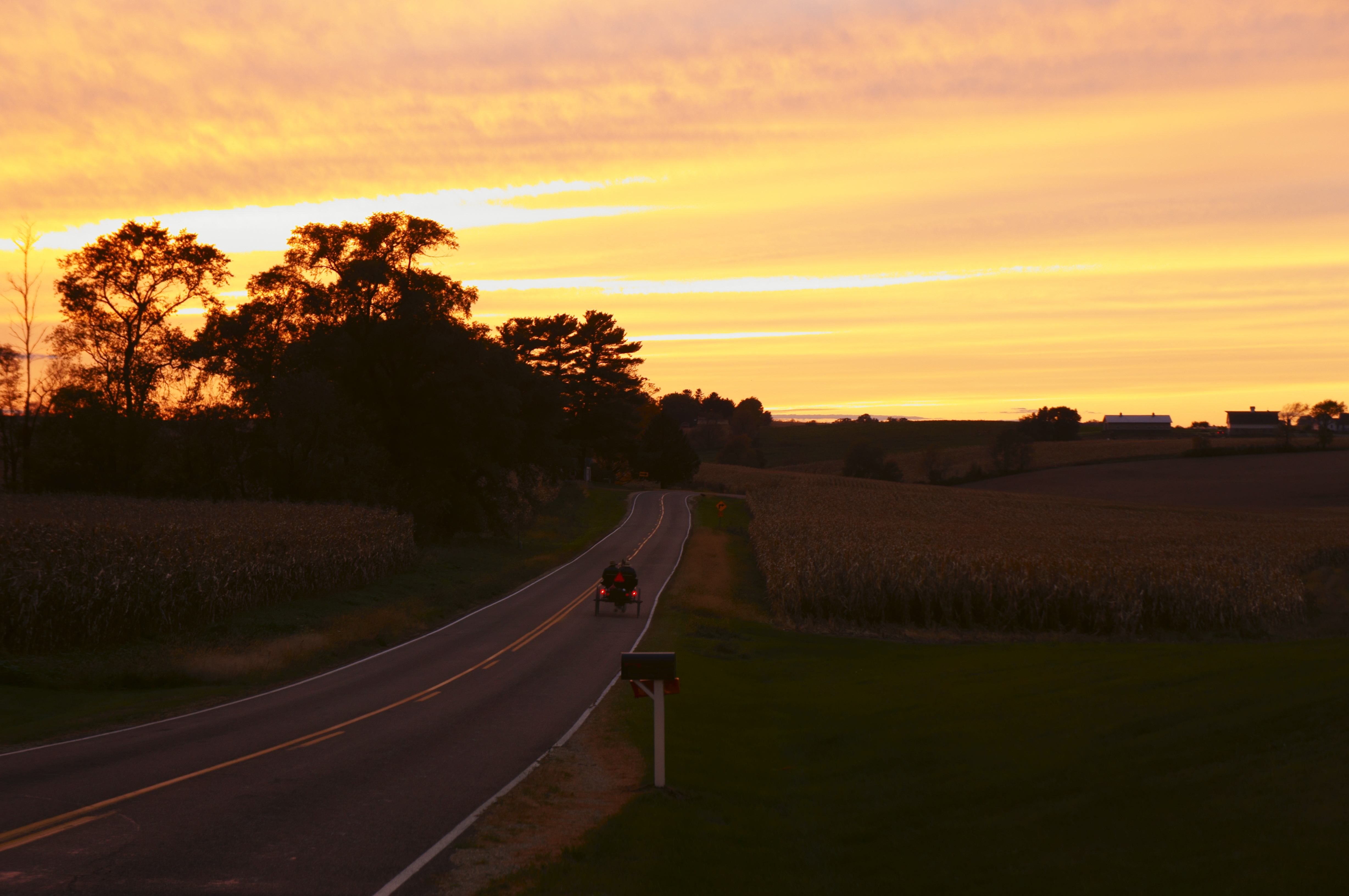
Riding Into the Sunset

Barn east of Viroqua, Wisconsin

A Great Day to Graze

amish outhouse

Wintry creek

Creek condensation cloud. Skydancer pass. Viroqua Driftless.

Cottonwood sky #viroqua #driftless

beautiful wisconsin

Wildfloral. Viroqua Driftless.

A foggy morning

Rainfall in the southern forest, Viroqua Driftless

North Fork Bad Axe River
Anfractuous Blisscape, Viroqua Driftless
Topographic Map of Jefferson, WI, USA
Find elevation by address:

Places near Jefferson, WI, USA:
Randle Lane
County Rd B, Viroqua, WI, USA
Viroqua
Vernon County
WI-27, Soldiers Grove, WI, USA
WI-56, Genoa, WI, USA
Sheldon Road
Utica
Chellevold Rd, Ferryville, WI, USA
116n
14760 Eagle Ridge Rd
14538 River Rd
Soldiers Grove
Genoa
Trout St, Genoa, WI, USA
Ferryville
12259 Us-61
De Soto
55705 Stoney Point Rd
Gays Mills
Recent Searches:
- Elevation of Congressional Dr, Stevensville, MD, USA
- Elevation of Bellview Rd, McLean, VA, USA
- Elevation of Stage Island Rd, Chatham, MA, USA
- Elevation of Shibuya Scramble Crossing, 21 Udagawacho, Shibuya City, Tokyo -, Japan
- Elevation of Jadagoniai, Kaunas District Municipality, Lithuania
- Elevation of Pagonija rock, Kranto 7-oji g. 8"N, Kaunas, Lithuania
- Elevation of Co Rd 87, Jamestown, CO, USA
- Elevation of Tenjo, Cundinamarca, Colombia
- Elevation of Côte-des-Neiges, Montreal, QC H4A 3J6, Canada
- Elevation of Bobcat Dr, Helena, MT, USA