Elevation of Jefferson Township, OH, USA
Location: United States > Ohio > Clinton County >
Longitude: -83.879107
Latitude: 39.2740557
Elevation: 304m / 997feet
Barometric Pressure: 98KPa
Elevation Map:
Satellite Map:
Related Photos:

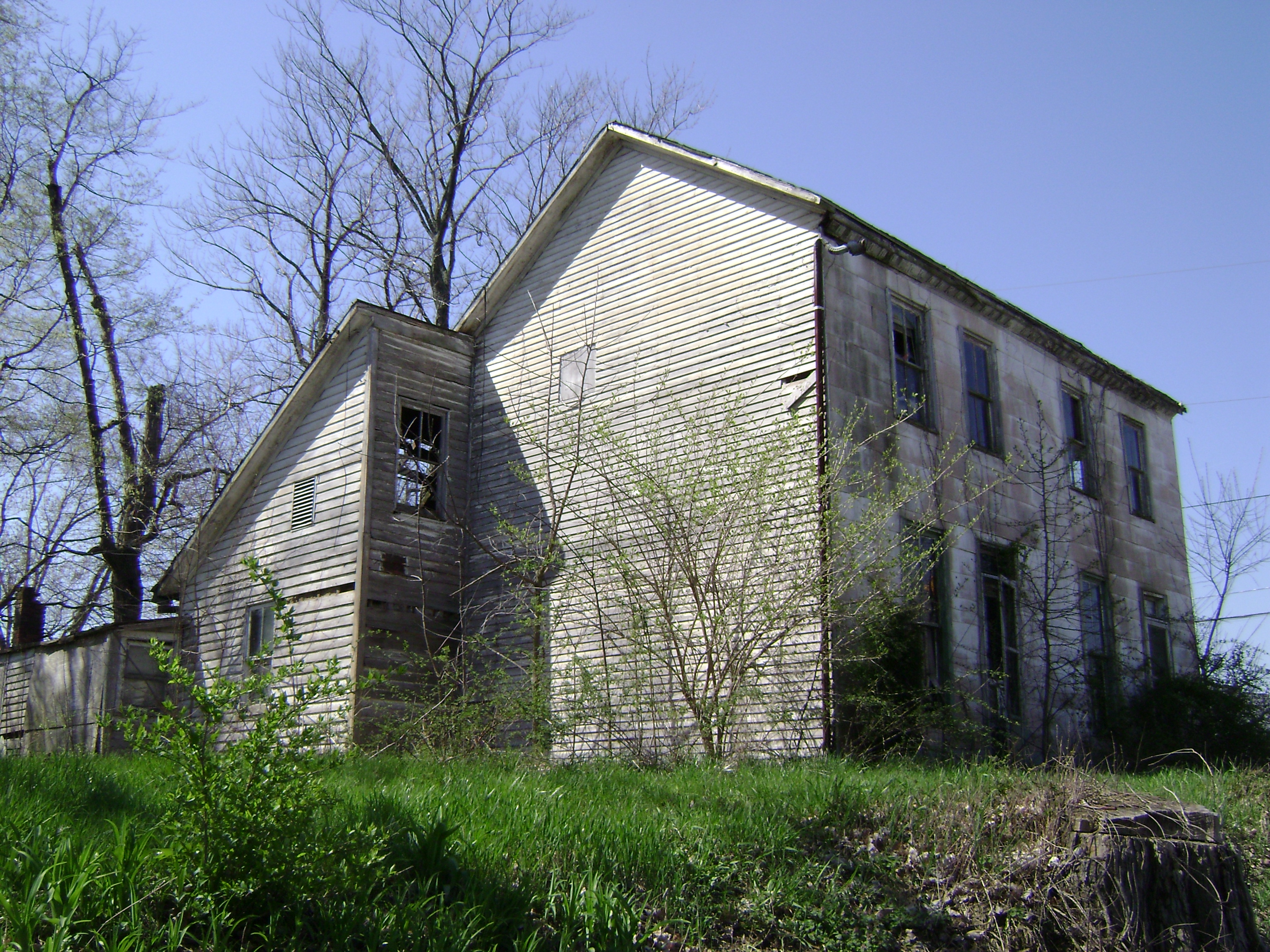
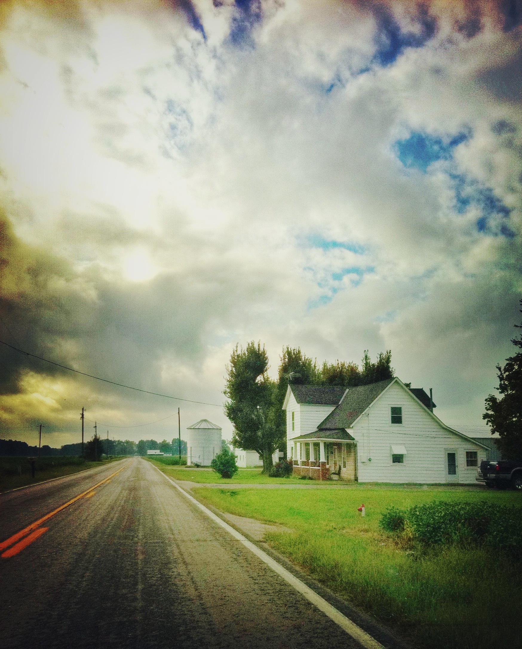
Martinsville, Ohio- Unknown Schoolhouse

IMG_7677.JPG
COMMON LOON

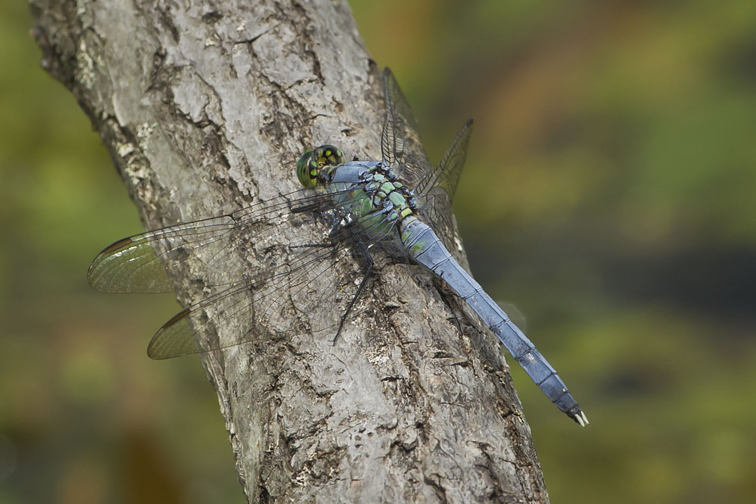
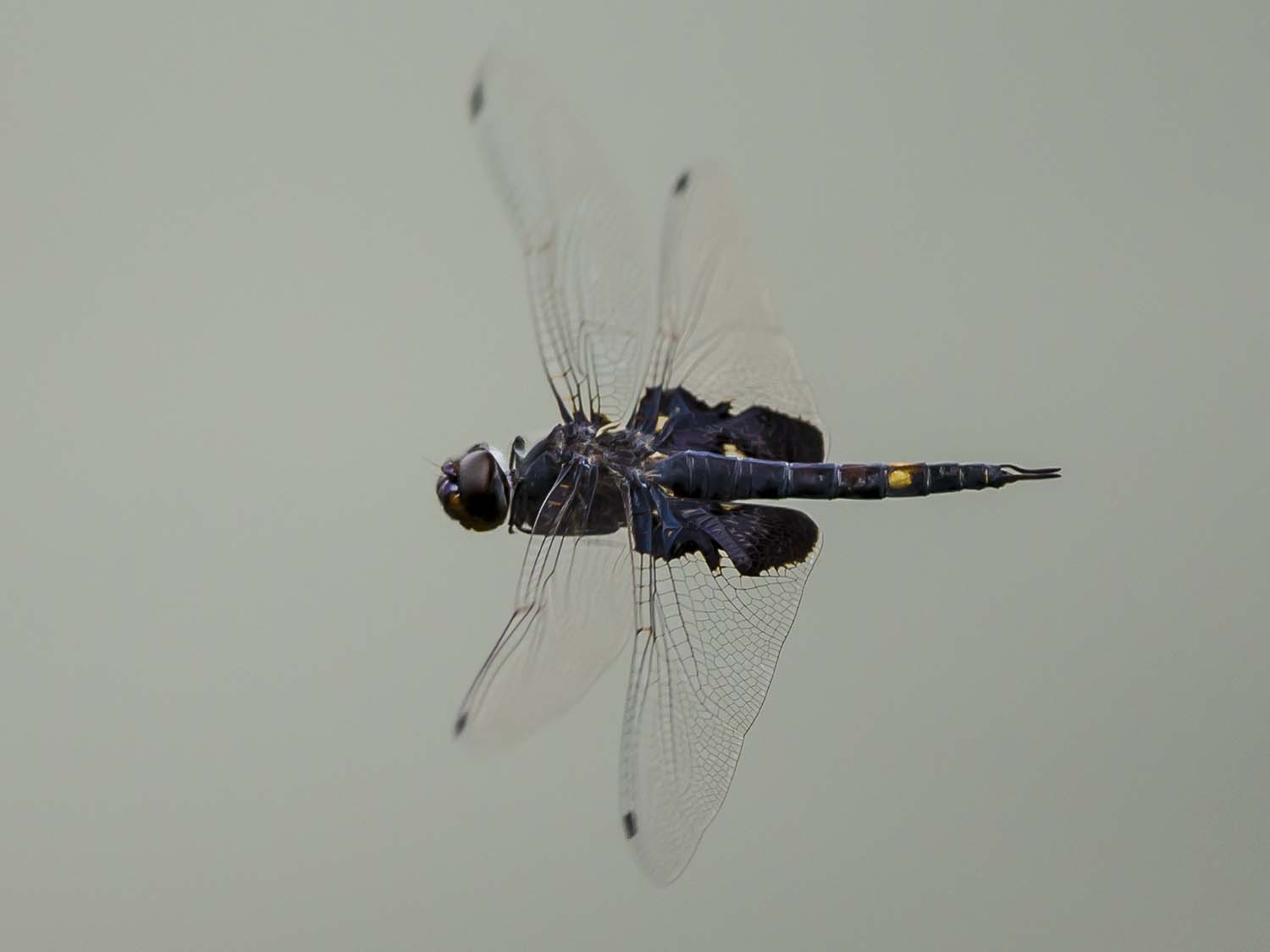
WIDOW SKIMMER DRAGONFLY

NORTHERN FLICKER

BONAPARTE'S GULL

HORNED GREBE LANDING

EASTERN PONDHAWKS - MATING WHEEL

PILEATED WOODPECKER

GREAT BLUE HERON

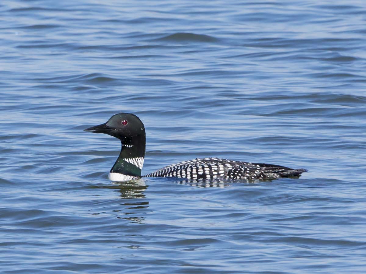
COMMON LOON
EASTERN PONDHAWK - DRAGONFLY

MALLARDS - 6 IMAGE PANO

COMMON LOON
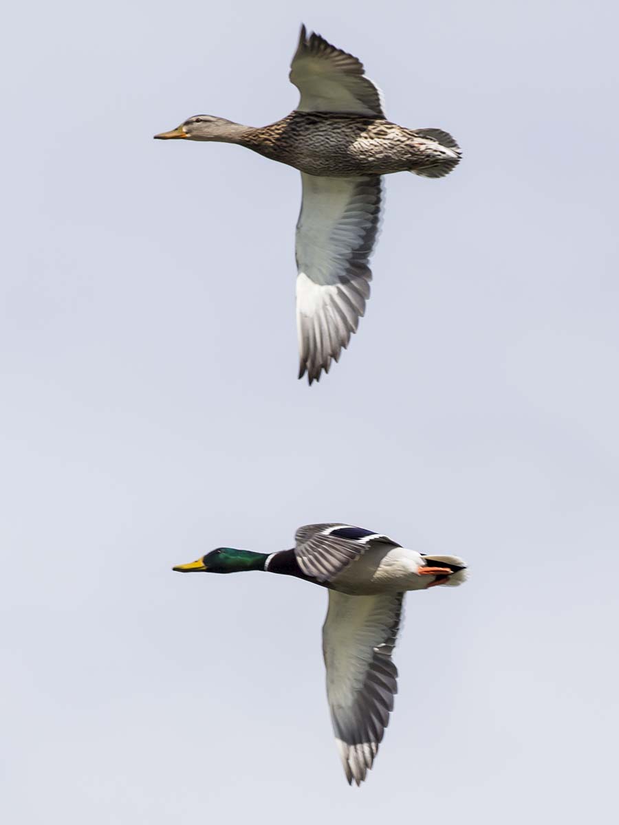
MALLARDS m/fm
Dodsonville, Ohio
BLACK SADDLEBAGS IN FLIGHT
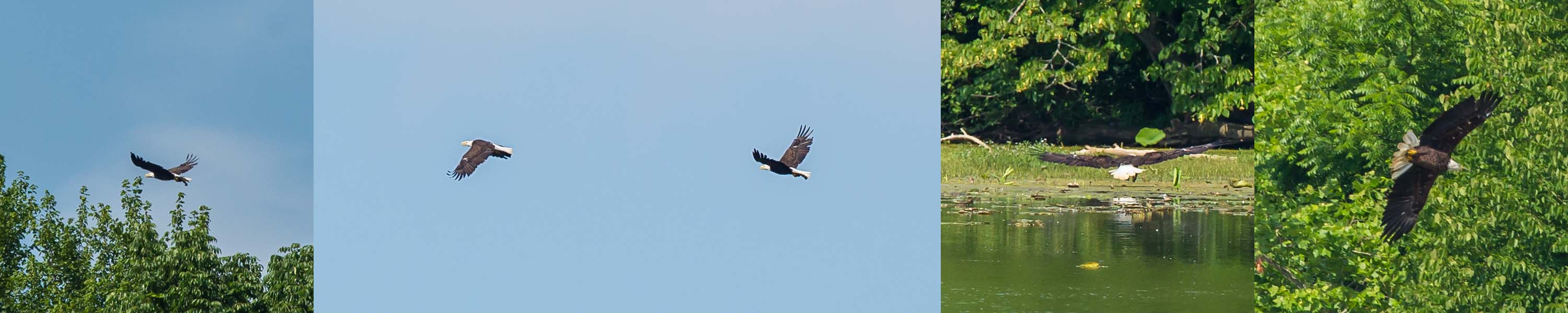
BALD EAGLE CATCHING FISH

6 IMAGE PANORAMA - LOTUS AT COWAN LAKE

HORNED GREBE TAKES FLIGHT

RING-BILLED GULLS on the beach

IMG_7484.JPG

IMG_8960.JPG

IMG_2330.JPG

IMG_5818.JPG
IMG_2926.JPG

IMG_2742.JPG

IMG_5178.JPG

IMG_7647.JPG

IMG_7662.JPG

IMG_0005.JPG

IMG_2268.JPG

IMG_5693.JPG

IMG_1709.JPG

IMG_4498.JPG

Confusion Fog

IMG_4881.JPG

IMG_2928.JPG

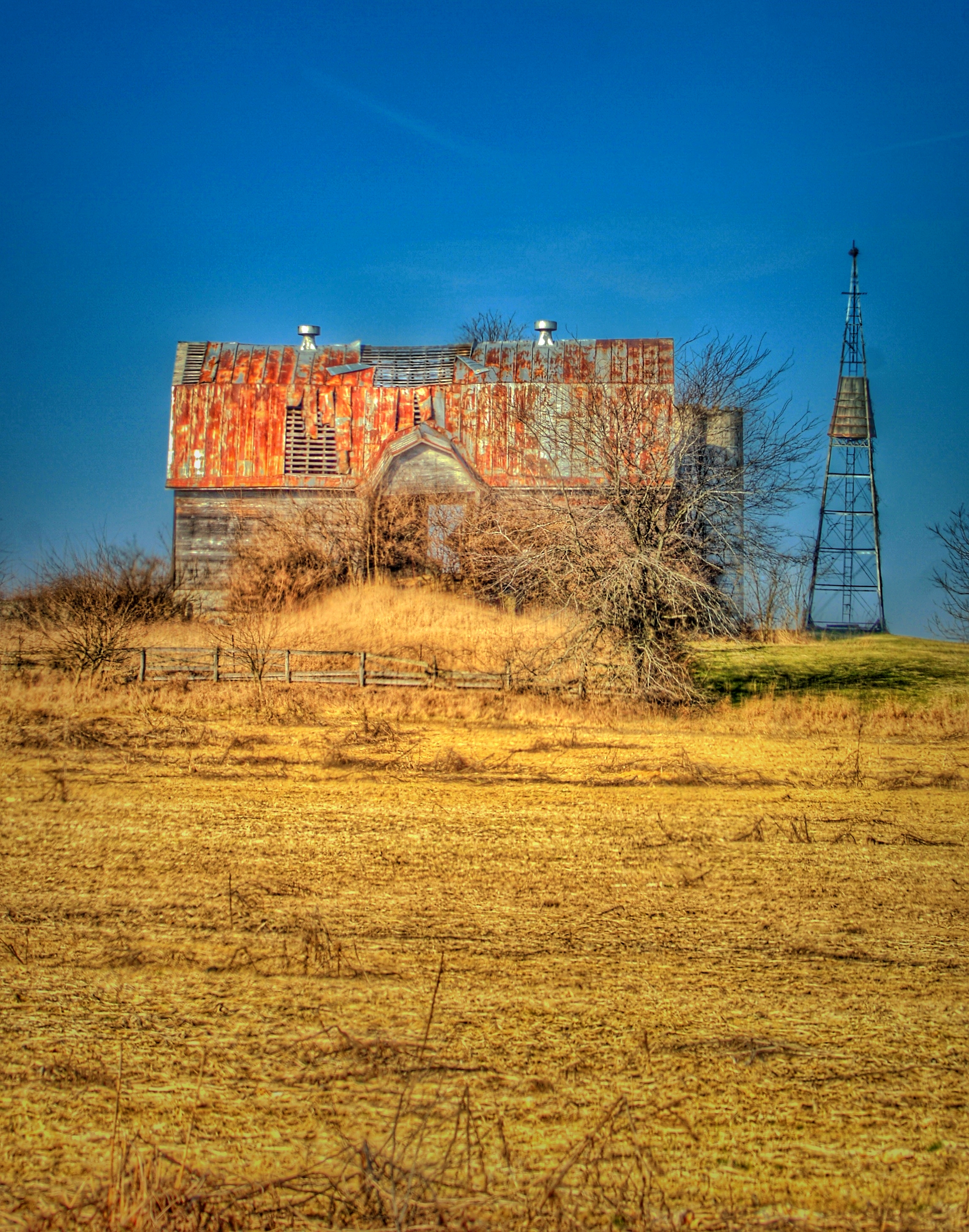
The Farm
IMG_2392.JPG

IMG_2323.JPG

IMG_1752.JPG
Topographic Map of Jefferson Township, OH, USA
Find elevation by address:

Places in Jefferson Township, OH, USA:
Places near Jefferson Township, OH, USA:
4795 Kernan Rd
Oak Grove Rd, Lynchburg, OH, USA
Midland
Broadway St N, Midland, OH, USA
Webertown Rd, Lynchburg, OH, USA
Saint Martin
Church St, Lynchburg, OH, USA
Martinsville
Washington Township
417 Cemetery Rd
2230 Crampton Rd
2200 Crampton Rd
Marion Township
Marion Township
Marion Township
Marion Township
Dodson Township
5745 Oh-134
5745 Oh-134
5738 Oh-134
Recent Searches:
- Elevation of Slanický ostrov, 01 Námestovo, Slovakia
- Elevation of Spaceport America, Co Rd A, Truth or Consequences, NM, USA
- Elevation of Warwick, RI, USA
- Elevation of Fern Rd, Whitmore, CA, USA
- Elevation of 62 Abbey St, Marshfield, MA, USA
- Elevation of Fernwood, Bradenton, FL, USA
- Elevation of Felindre, Swansea SA5 7LU, UK
- Elevation of Leyte Industrial Development Estate, Isabel, Leyte, Philippines
- Elevation of W Granada St, Tampa, FL, USA
- Elevation of Pykes Down, Ivybridge PL21 0BY, UK