Elevation of Jefferson-Scio Dr, Scio, OR, USA
Location: United States > Oregon > Linn County > Scio >
Longitude: -122.87589
Latitude: 44.713232
Elevation: 98m / 322feet
Barometric Pressure: 100KPa
Elevation Map:
Satellite Map:
Related Photos:

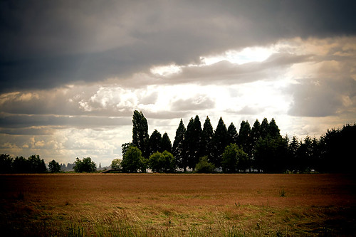
Farmfield View
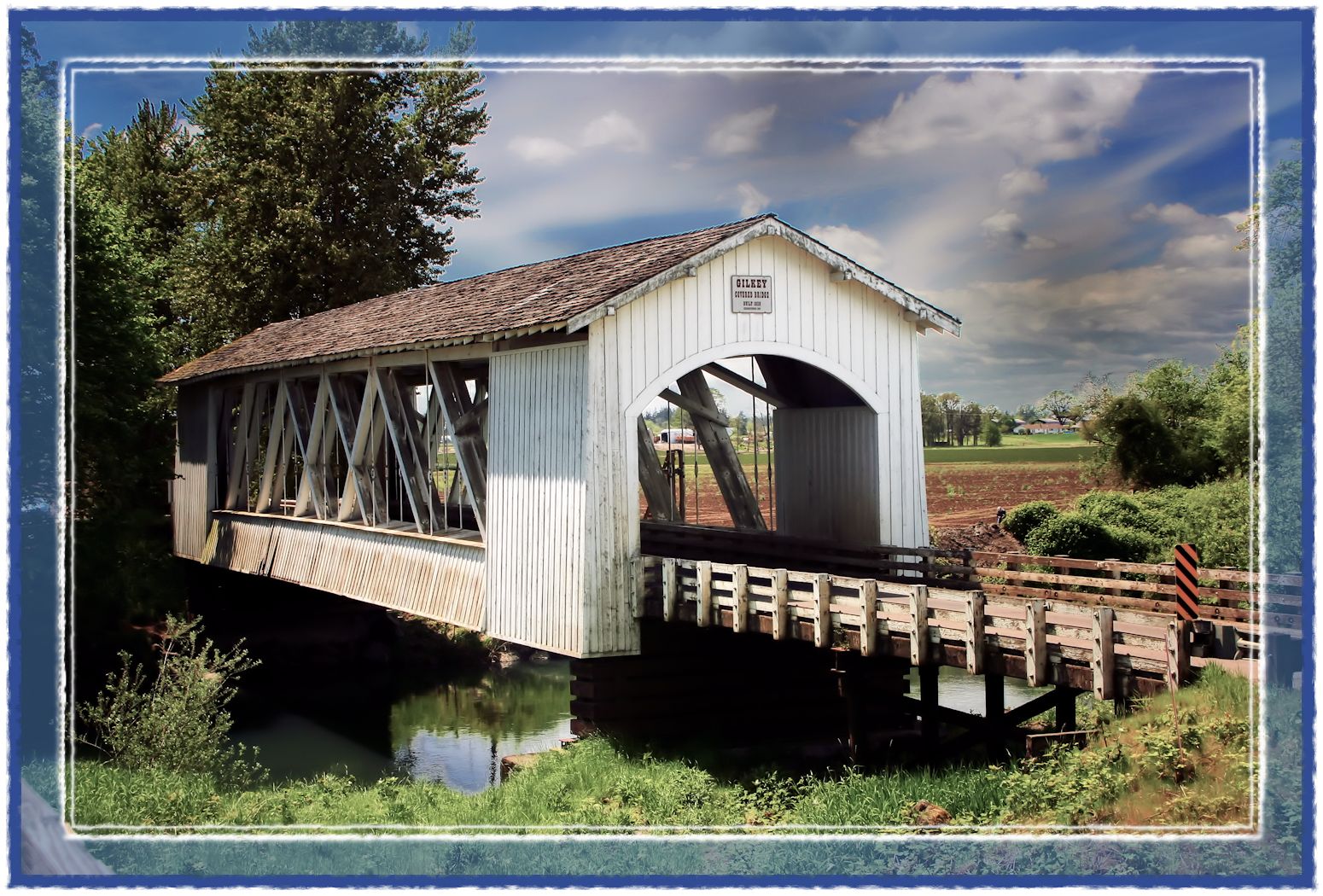
Gilkey Bridge

Hawthorn Berries.
Stayton-Jordan Bridge View

Willamette Valley Vineyard View

View from Willamette Valley Vineyards

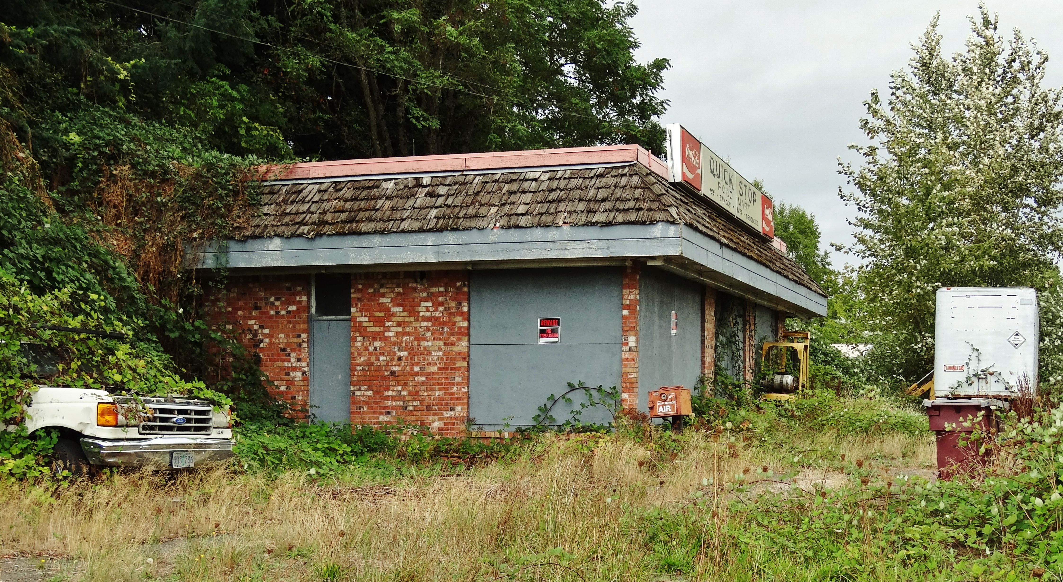
Quick Stop Food Mart
Move-in Ready
Through Yonder Trees Doth Hill Does Break
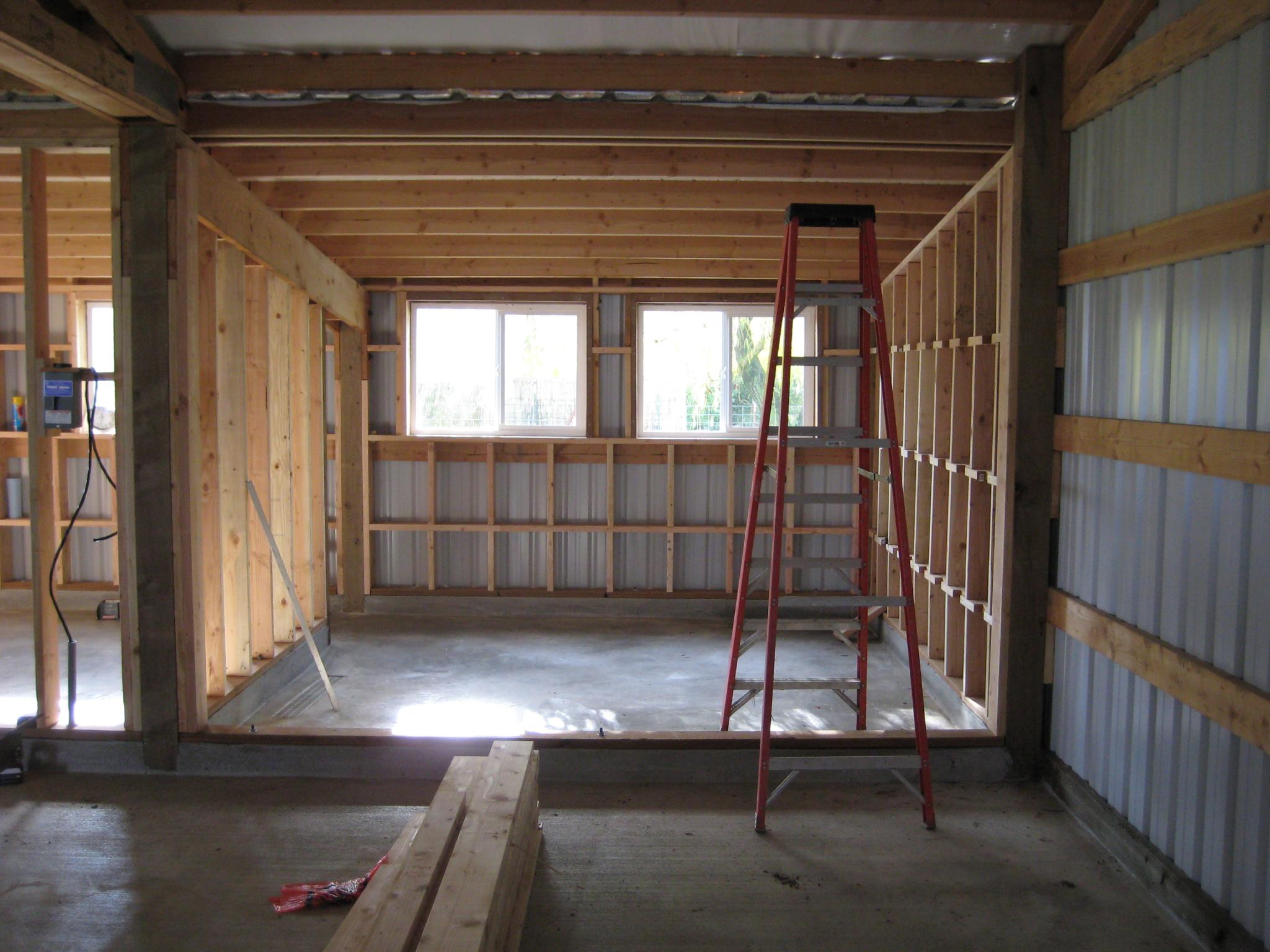
New construction framing
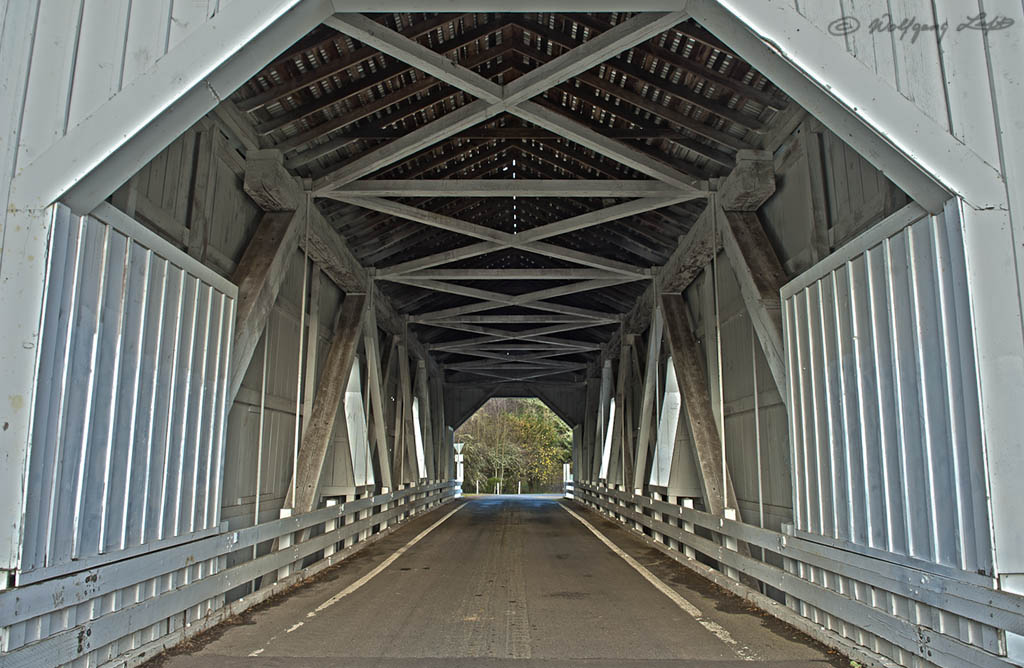
Covered Bridge
Over My Head
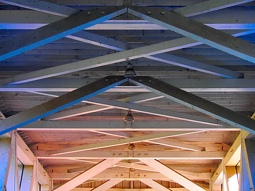
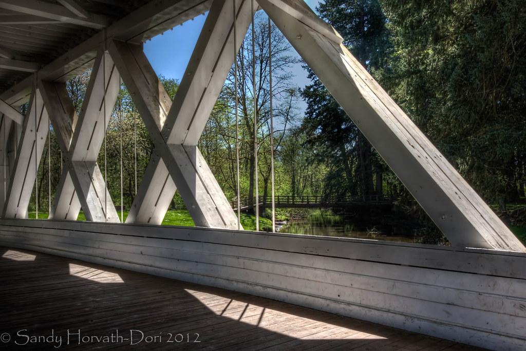
Interior Roof of Jordan Bridge
Field & Trees
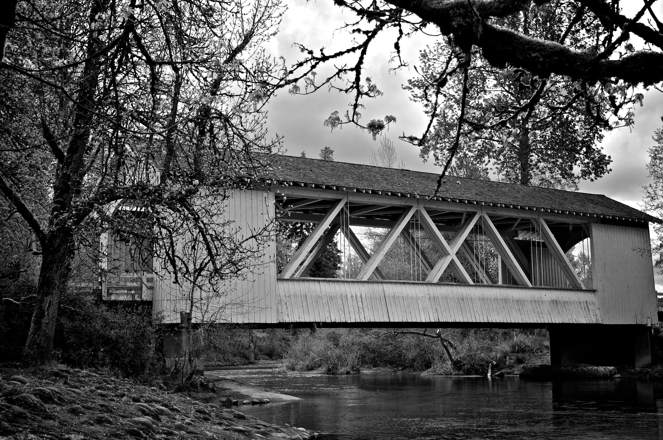
Larwood Covered Bridge
And The Race Is On
Another Stop Along The Way
The World Is Alive

Mady in Sublimity
Out the Ankeny viewing port
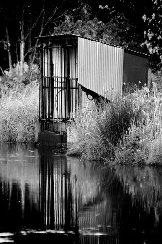
Pump Station in the Round
On The Inside

Hoffman Covered Bridge

Hannah Covered Bridge
Willamette Valley Vineyards
Willamette Valley Vineyards

There is a House in Infrared
Into The Blue

252/366

001|01.01.2012 Silhouettes
82/365
Snag Boat Bend
Salem Ditch

To Wonder At Its Vastness

Singled Out
Vanishing Wilderness

Autumn Rainstorm.jpg

wheat fields #oregon #silverfalls #hiking #nature #vscocam #vsco #vscotravel
Saturated Stream

Water Under the Bridge
Topographic Map of Jefferson-Scio Dr, Scio, OR, USA
Find elevation by address:

Places near Jefferson-Scio Dr, Scio, OR, USA:
Scio
39119 Shilling Dr
40030 Stayton Scio Loop
37800 Farris Rd
5952 A St Se
Marion
4981 Shadow Hills Dr Se
1207 W Ida St
41728 Kingston Jordan Rd
Stayton
1305 N Douglas Ave
Bc Nelson Dds, Dentist
Kingston-Lyons Dr SE, Stayton, OR, USA
North Sunrise Drive
436 Sunrise Dr S
1175 Deerfield Ct
4075 Sunset Hills Dr Se
Jefferson
3711 Rainbow Ridge Dr Se
38345 Sledge Rd
Recent Searches:
- Elevation of Elwyn Dr, Roanoke Rapids, NC, USA
- Elevation of Congressional Dr, Stevensville, MD, USA
- Elevation of Bellview Rd, McLean, VA, USA
- Elevation of Stage Island Rd, Chatham, MA, USA
- Elevation of Shibuya Scramble Crossing, 21 Udagawacho, Shibuya City, Tokyo -, Japan
- Elevation of Jadagoniai, Kaunas District Municipality, Lithuania
- Elevation of Pagonija rock, Kranto 7-oji g. 8"N, Kaunas, Lithuania
- Elevation of Co Rd 87, Jamestown, CO, USA
- Elevation of Tenjo, Cundinamarca, Colombia
- Elevation of Côte-des-Neiges, Montreal, QC H4A 3J6, Canada