Elevation of Jefferson Hill, Colorado, USA
Location: United States > Colorado > Park County > Jefferson >
Longitude: -105.834178
Latitude: 39.4235986
Elevation: 3186m / 10453feet
Barometric Pressure: 0KPa
Related Photos:
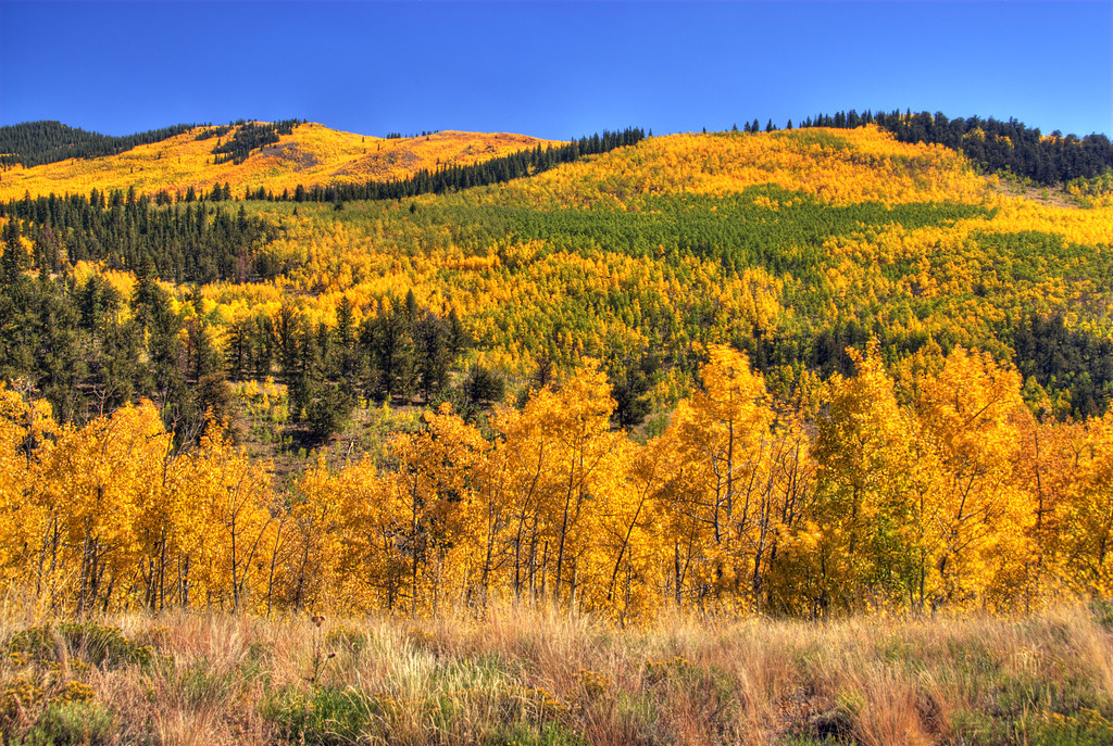
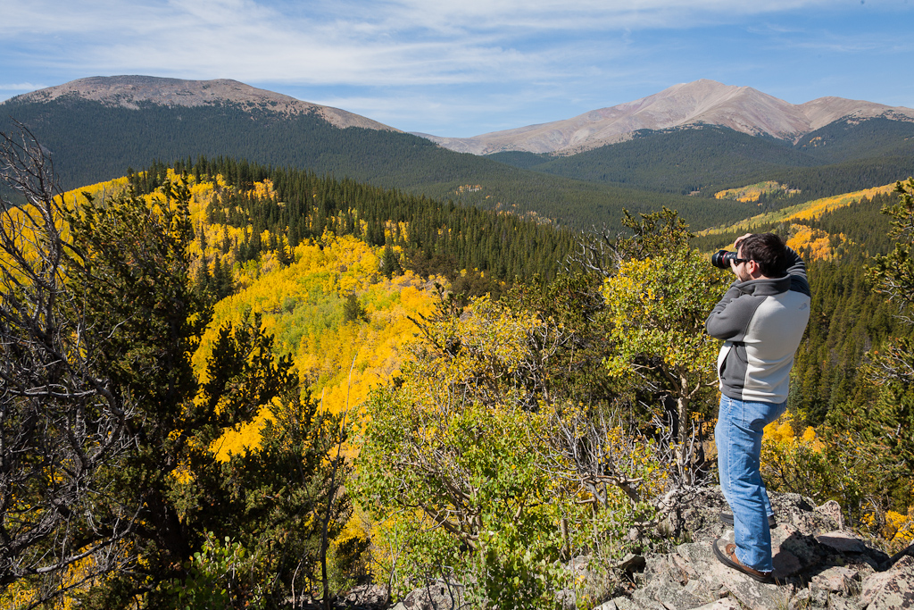
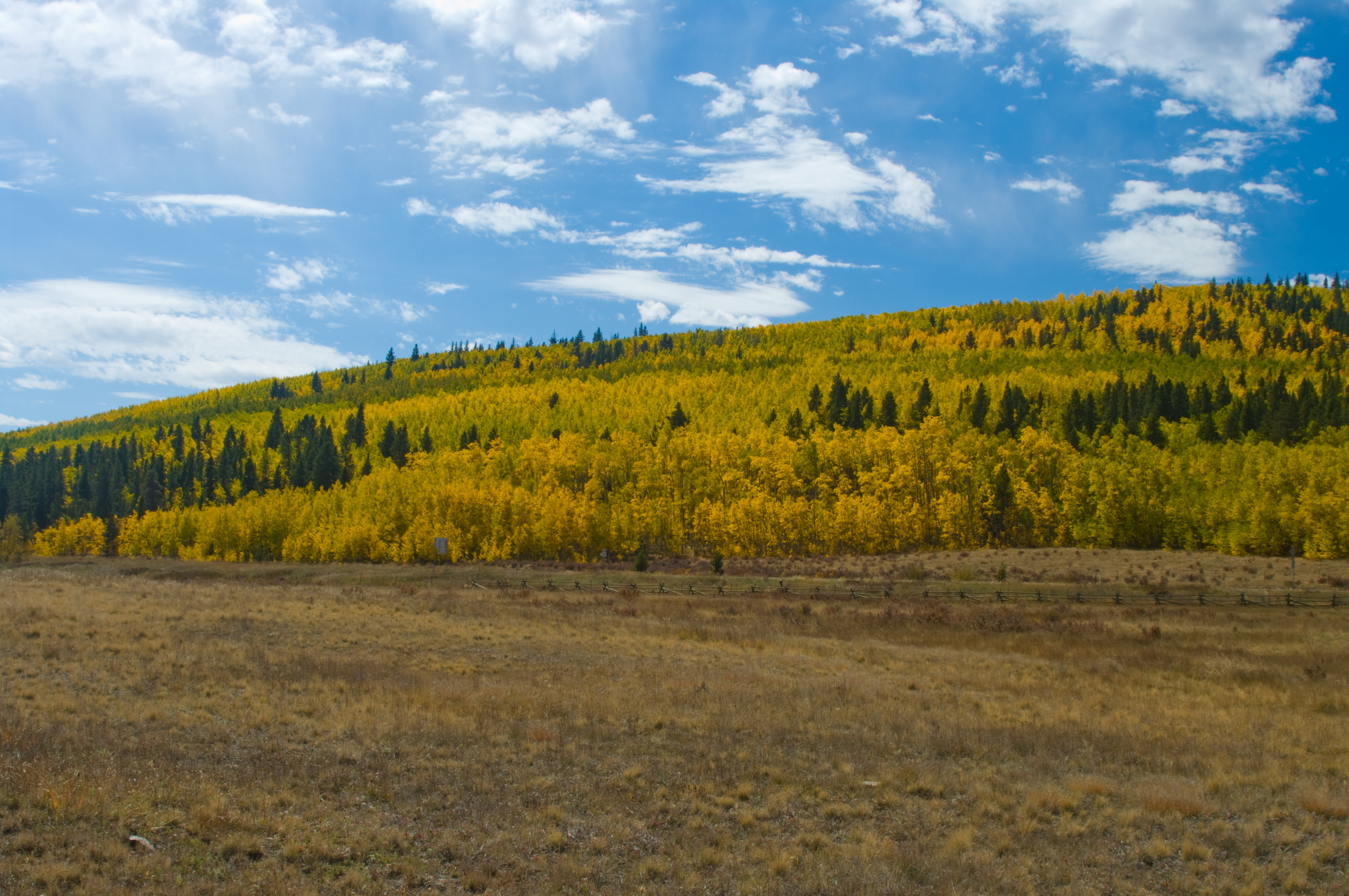
Colorado Aspens
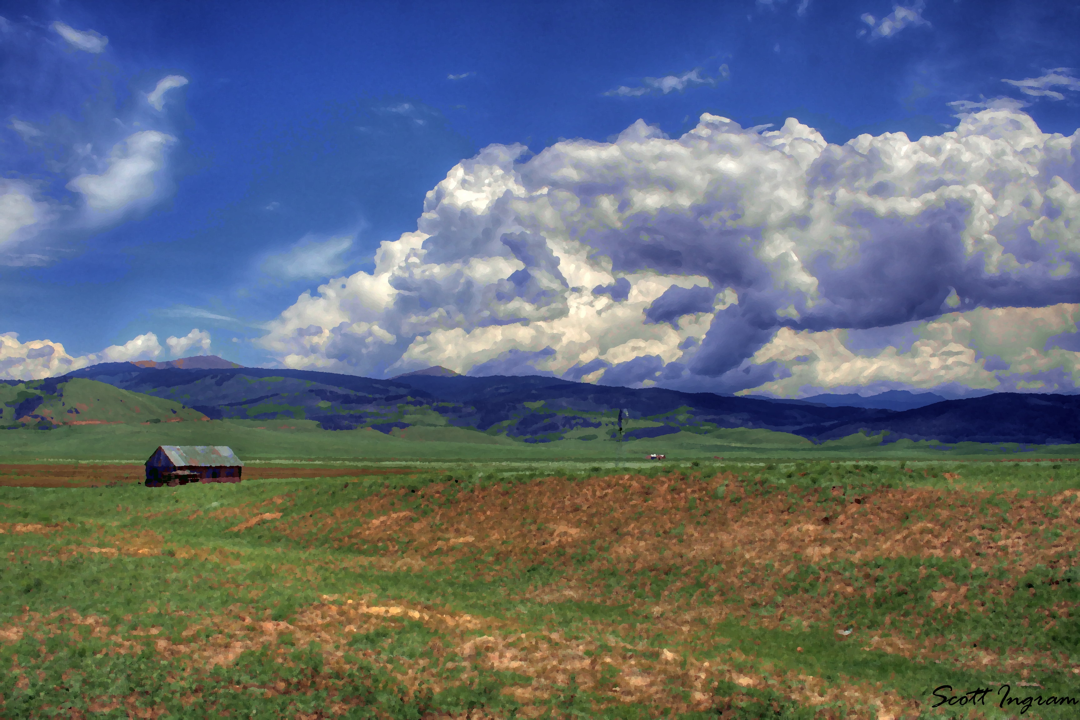
Colorado Farm Oil Paint
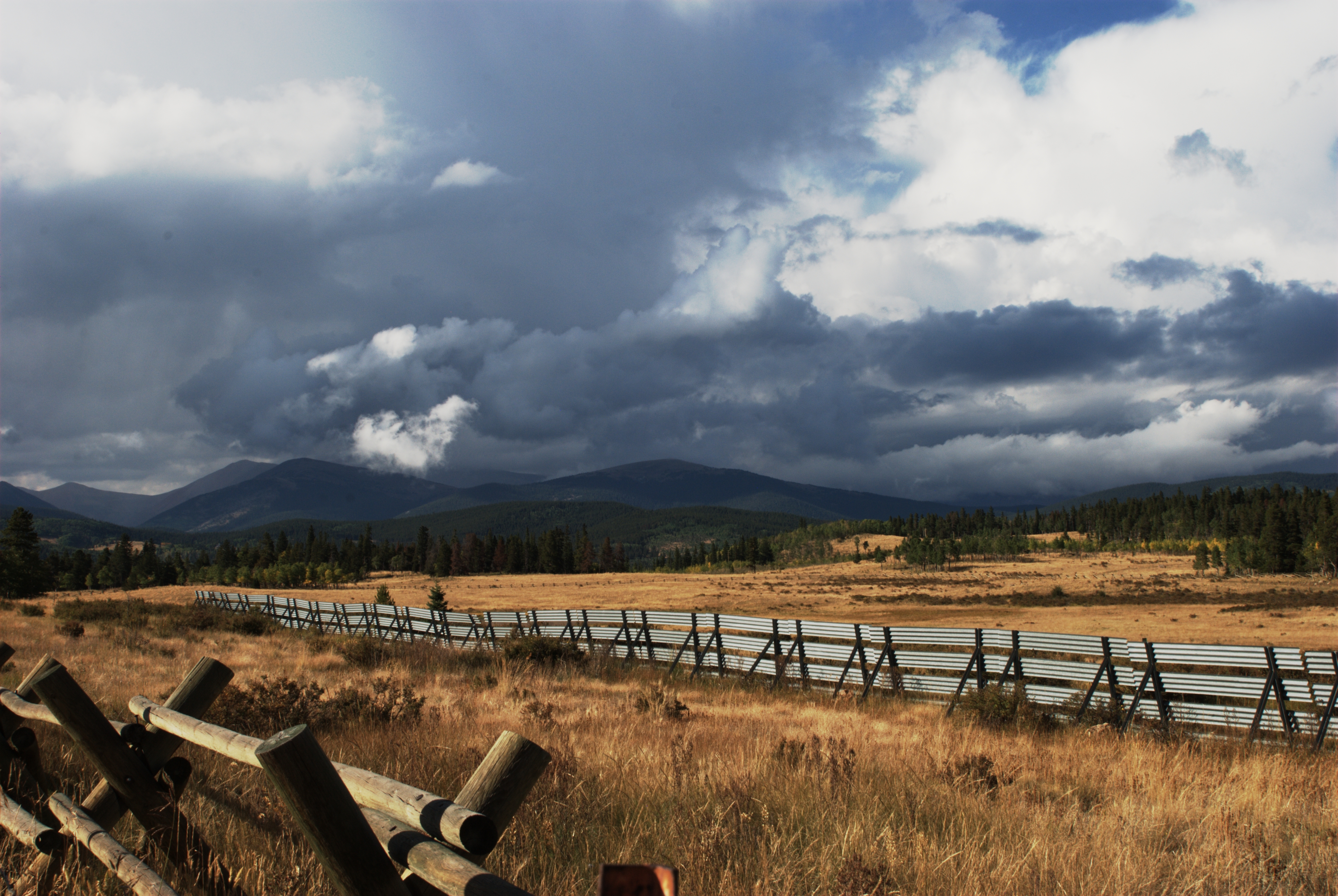
Kenosha Pass
"We are now in the mountains and they are in us, kindling enthusiasm, making every nerve quiver, filling every pore and cell of us."- John Muir (omg the views here- seriously, amazing!!!!) #breckbecause #gobreck #chrystiincolorado #itsamazingoutthere
Geneva Peak View
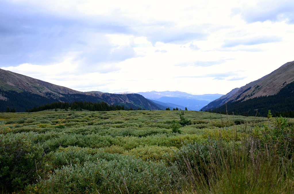
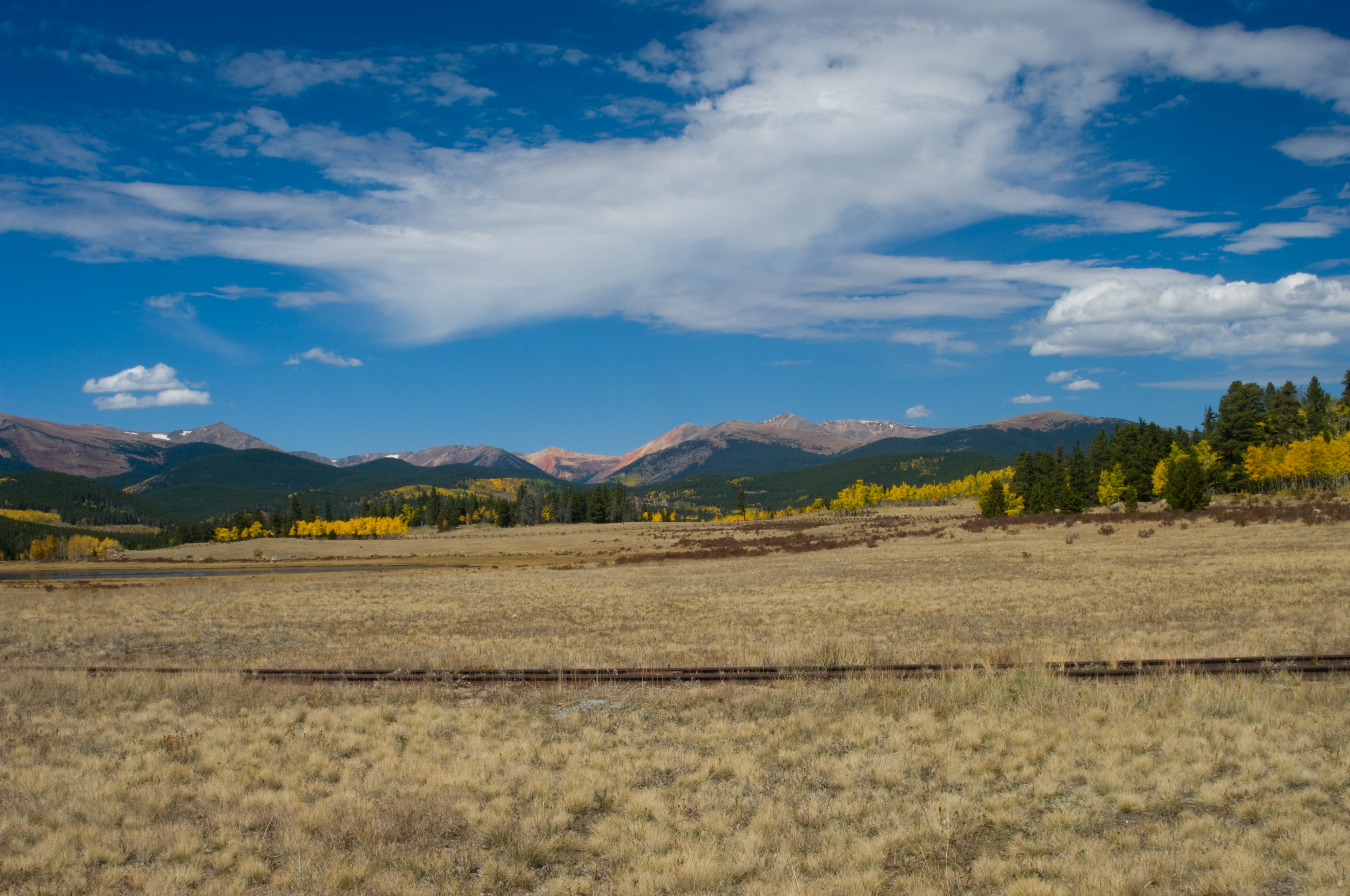
Typical Colorado view
Webster Pass
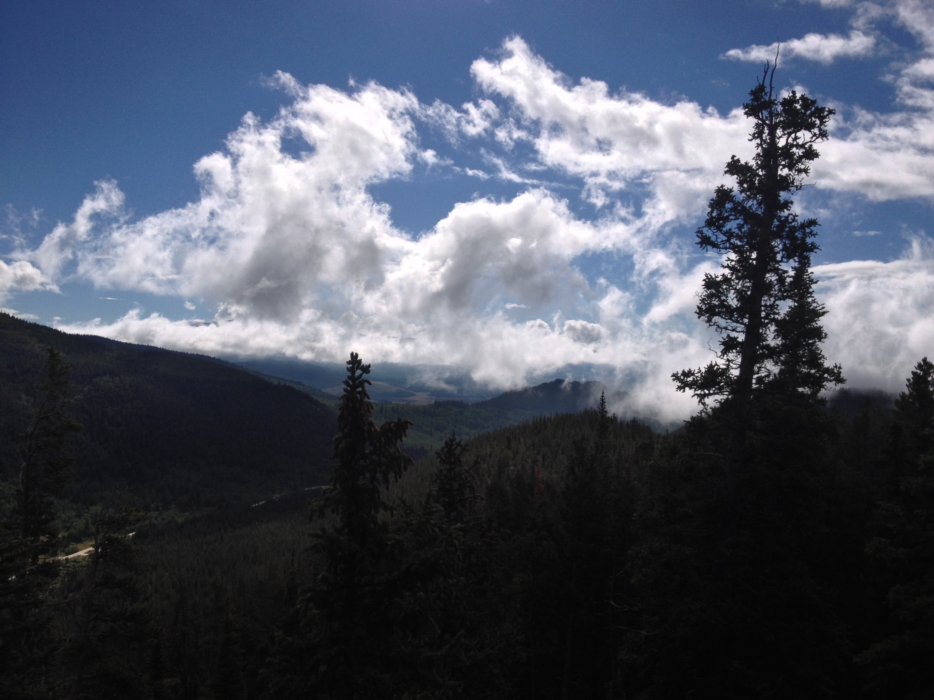
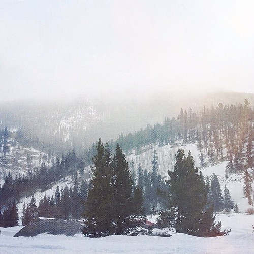
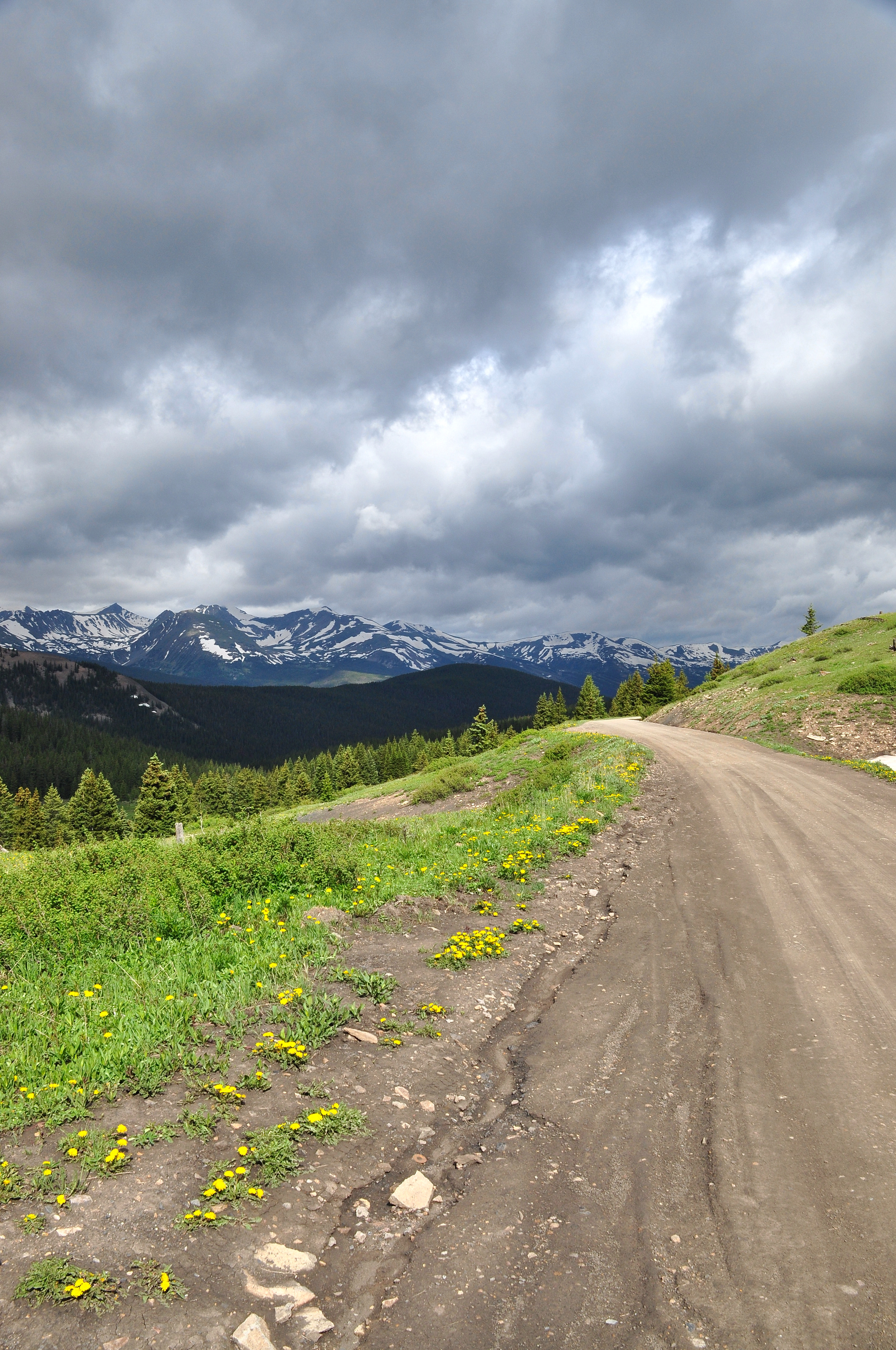
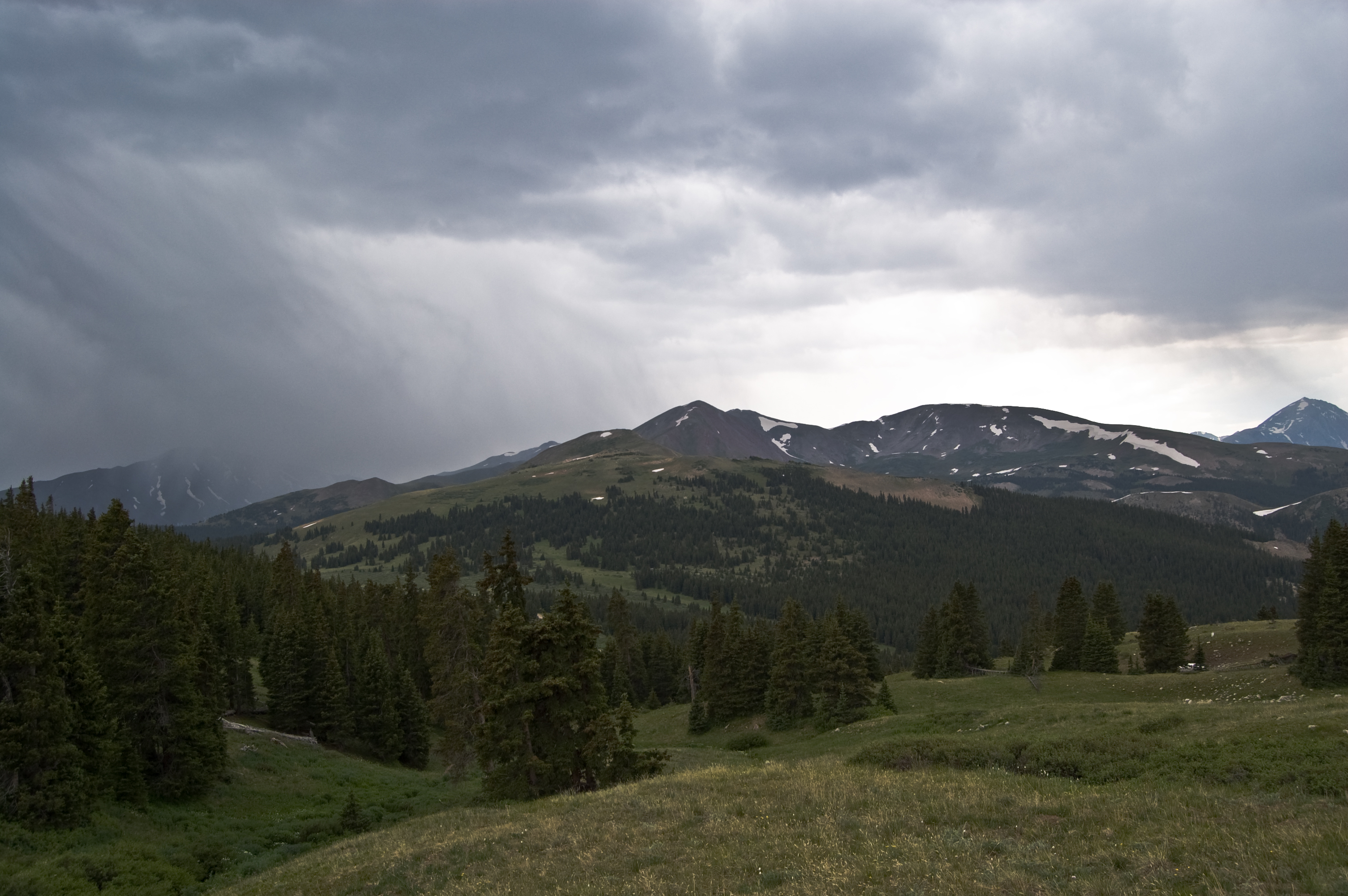
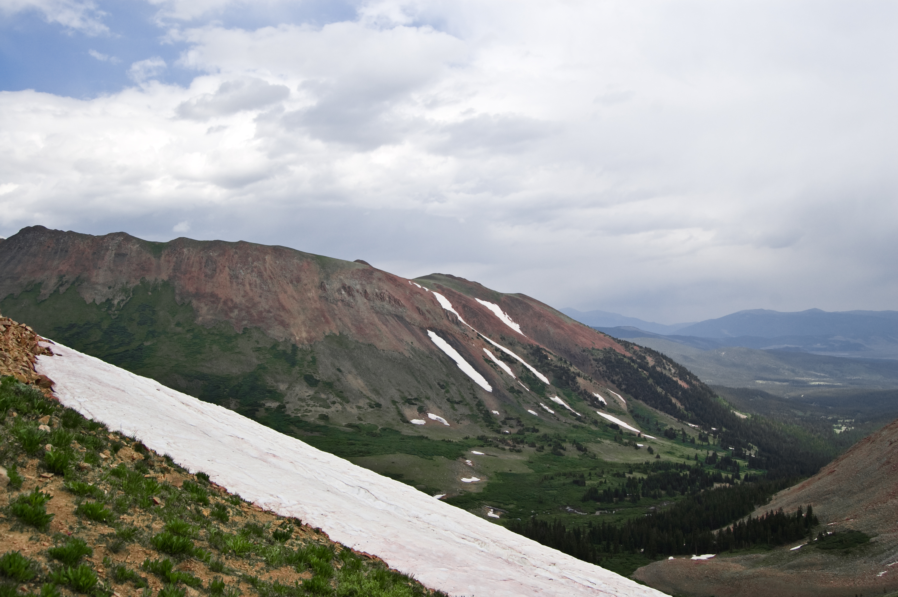
Foggy view above Jefferson Lake Rd.
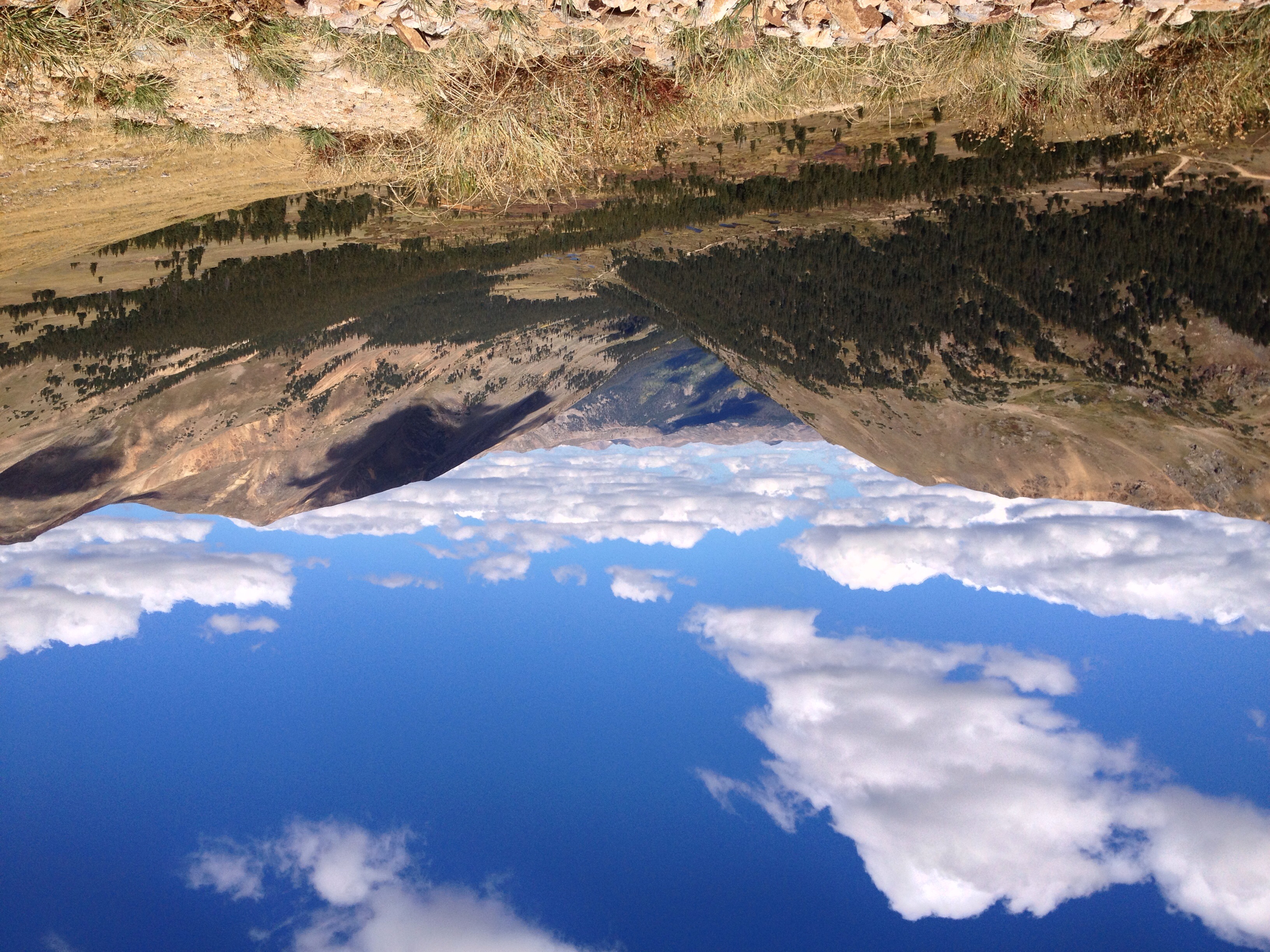
Summit View

Mt. Silverheels
Boreas Pass Rd.
Nickie Takes in the Grand View
Como View

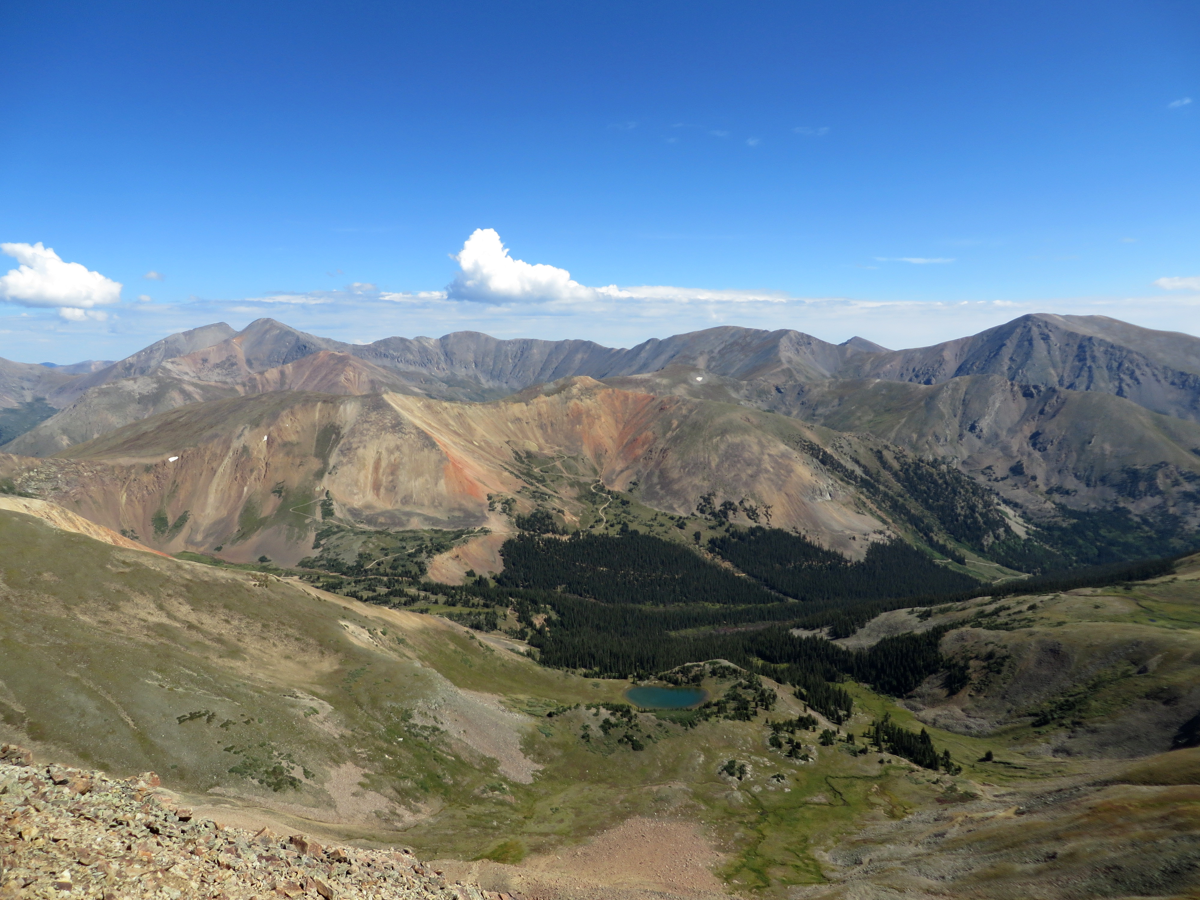
Red Cone Panorama

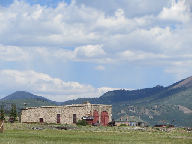
Como Inn and Eating House (3D)

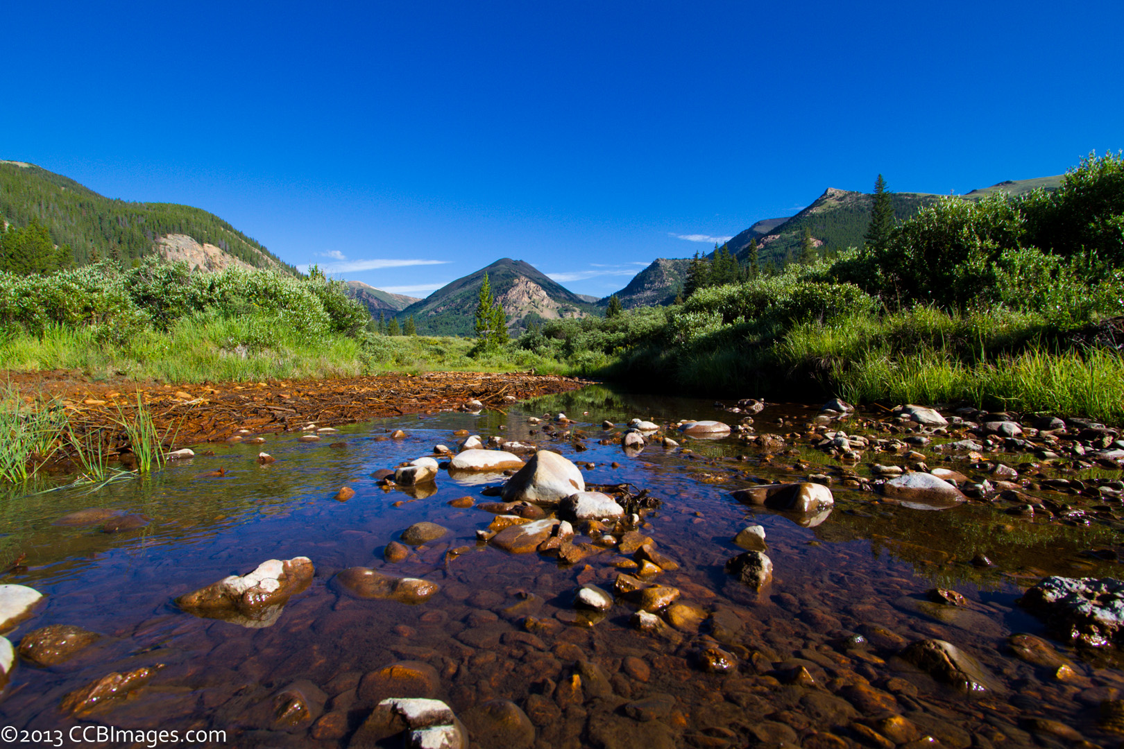
Views of South Park, CO overlooking Jefferson Creek.
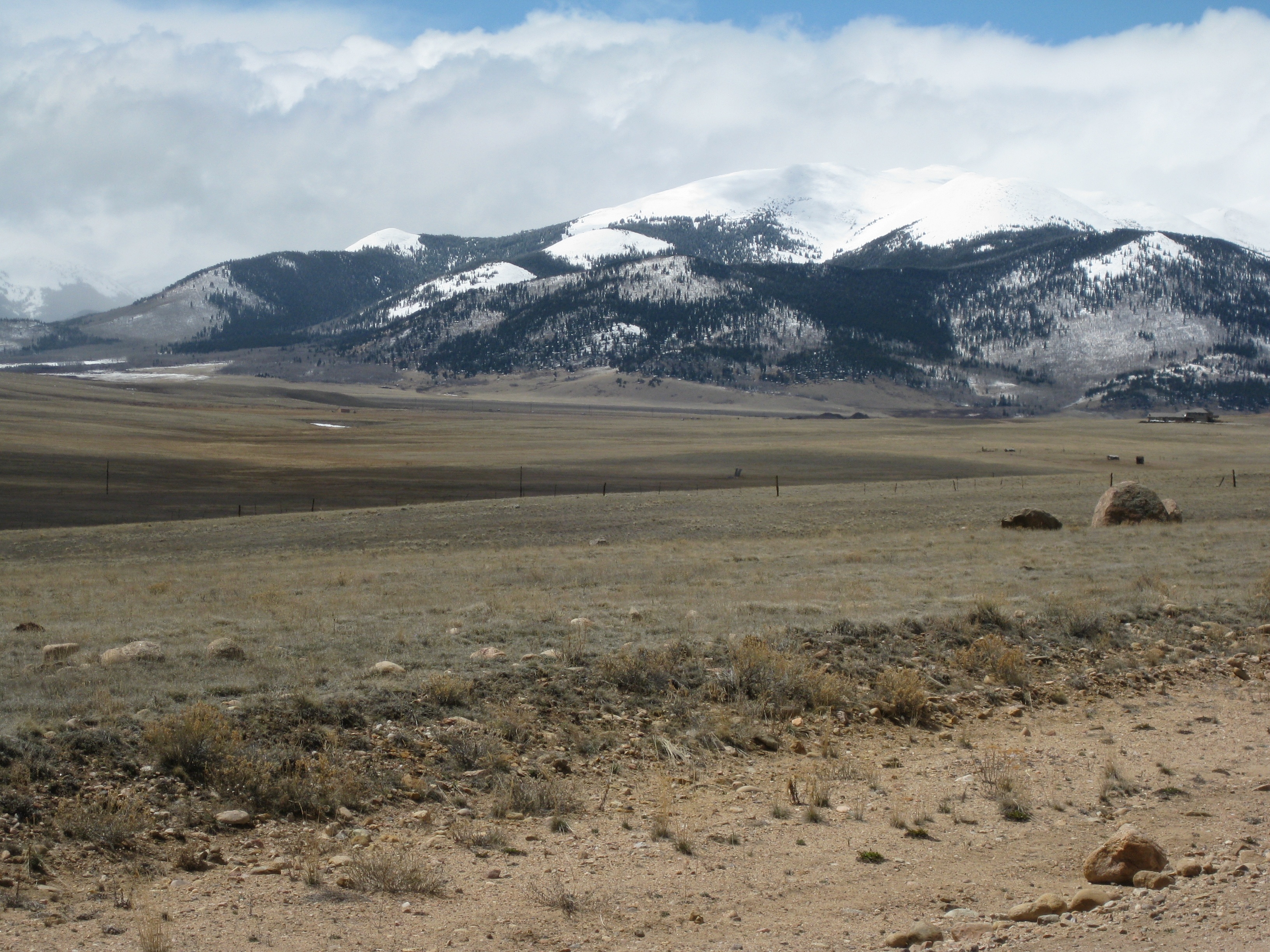
View Across South Park
View at Kenosha Pass
Silverheels Lost in Rain
Park county
The View from Trail's End
Topographic Map of Jefferson Hill, Colorado, USA
Find elevation by address:

Places near Jefferson Hill, Colorado, USA:
Selkirk Lane
946 Selkirk Ln
624 French Pass Cir
Fremont Knoll Lane
705 Glacier Peak View Rd
705 Glacier Peak View Rd
Michigan Hill Road
Whale Peak
Mount Guyot
Boreas Mountain
Brewery Hill
347 Co Rd 528
498 Fuller Placer Rd
Hoosier Ridge
61 Club House Rd
120 Co Rd 536
Emmett Lode Road
Uncle Sam Lode
53 View Ln
County Road 529
Recent Searches:
- Elevation map of Greenland, Greenland
- Elevation of Sullivan Hill, New York, New York, 10002, USA
- Elevation of Morehead Road, Withrow Downs, Charlotte, Mecklenburg County, North Carolina, 28262, USA
- Elevation of 2800, Morehead Road, Withrow Downs, Charlotte, Mecklenburg County, North Carolina, 28262, USA
- Elevation of Yangbi Yi Autonomous County, Yunnan, China
- Elevation of Pingpo, Yangbi Yi Autonomous County, Yunnan, China
- Elevation of Mount Malong, Pingpo, Yangbi Yi Autonomous County, Yunnan, China
- Elevation map of Yongping County, Yunnan, China
- Elevation of North 8th Street, Palatka, Putnam County, Florida, 32177, USA
- Elevation of 107, Big Apple Road, East Palatka, Putnam County, Florida, 32131, USA
- Elevation of Jiezi, Chongzhou City, Sichuan, China
- Elevation of Chongzhou City, Sichuan, China
- Elevation of Huaiyuan, Chongzhou City, Sichuan, China
- Elevation of Qingxia, Chengdu, Sichuan, China
- Elevation of Corso Fratelli Cairoli, 35, Macerata MC, Italy
- Elevation of Tallevast Rd, Sarasota, FL, USA
- Elevation of 4th St E, Sonoma, CA, USA
- Elevation of Black Hollow Rd, Pennsdale, PA, USA
- Elevation of Oakland Ave, Williamsport, PA, USA
- Elevation of Pedrógão Grande, Portugal