Elevation of Jeff Davis Rd, Bell City, LA, USA
Location: United States > Louisiana > Calcasieu Parish > > Bell City >
Longitude: -92.952853
Latitude: 30.1565255
Elevation: 3m / 10feet
Barometric Pressure: 101KPa
Elevation Map:
Satellite Map:
Related Photos:
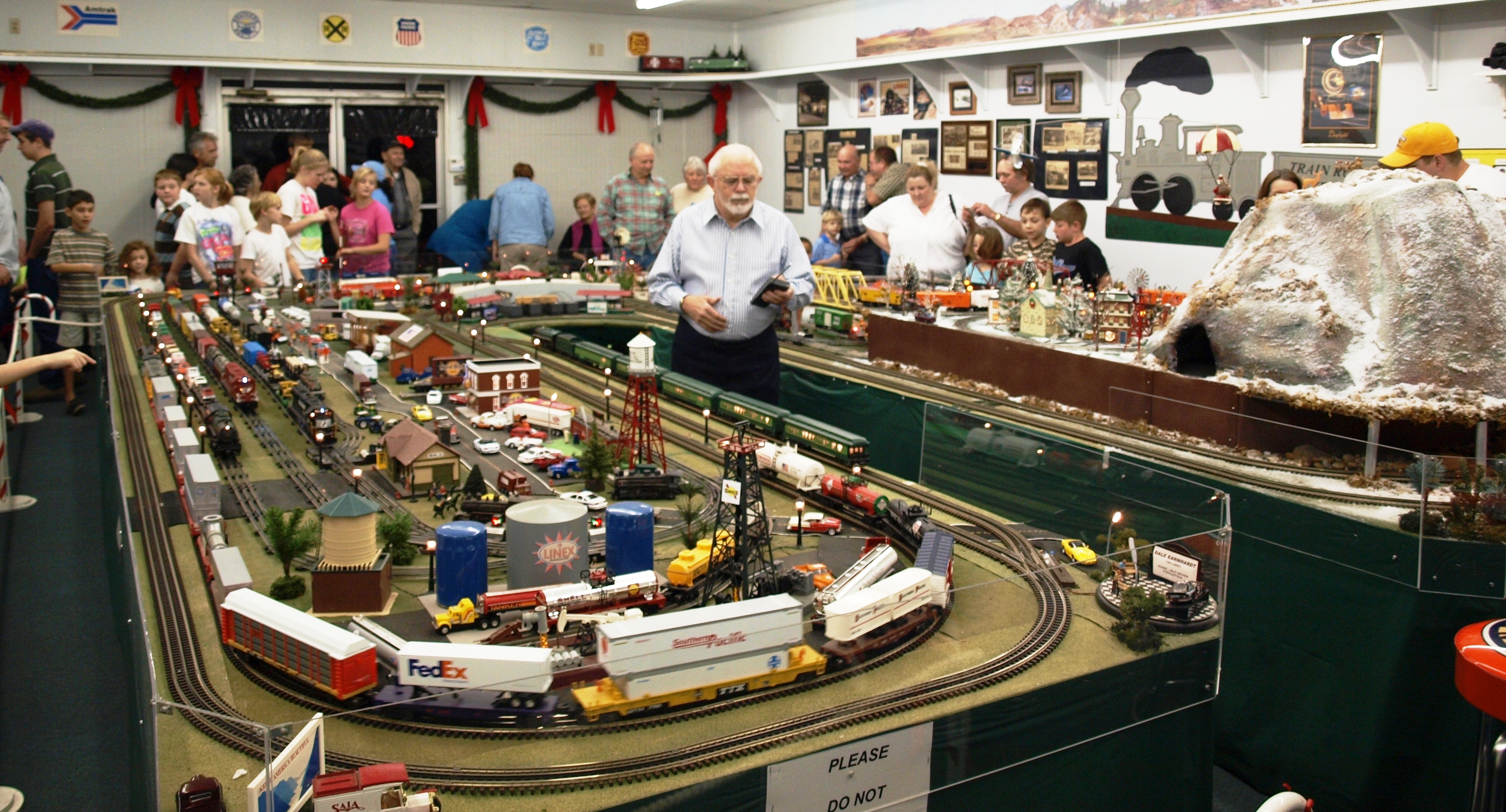
Joe's Train Room

LeConte's Sparrow
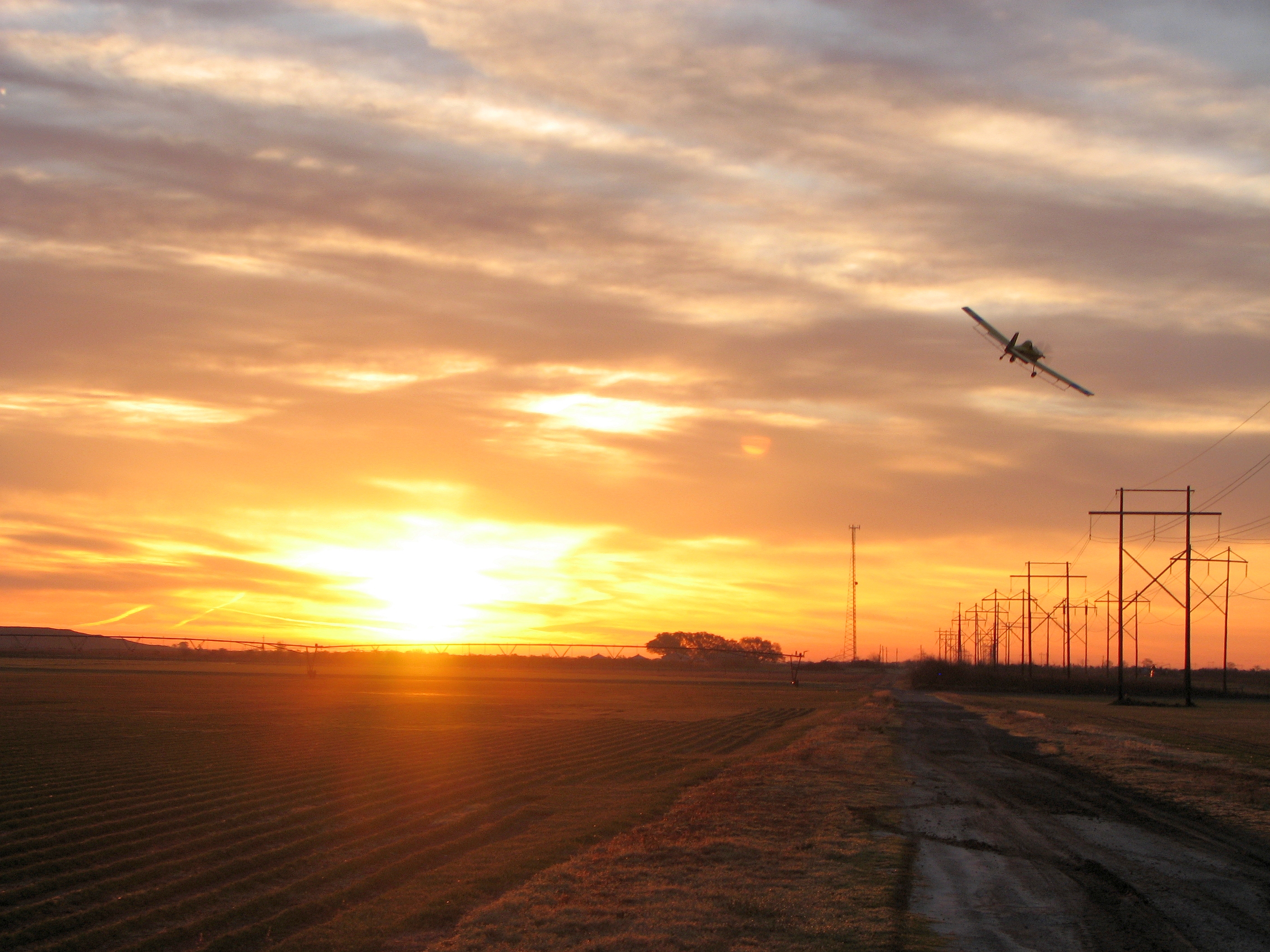
Air Tractor
Dickcissel (Spiza americana)
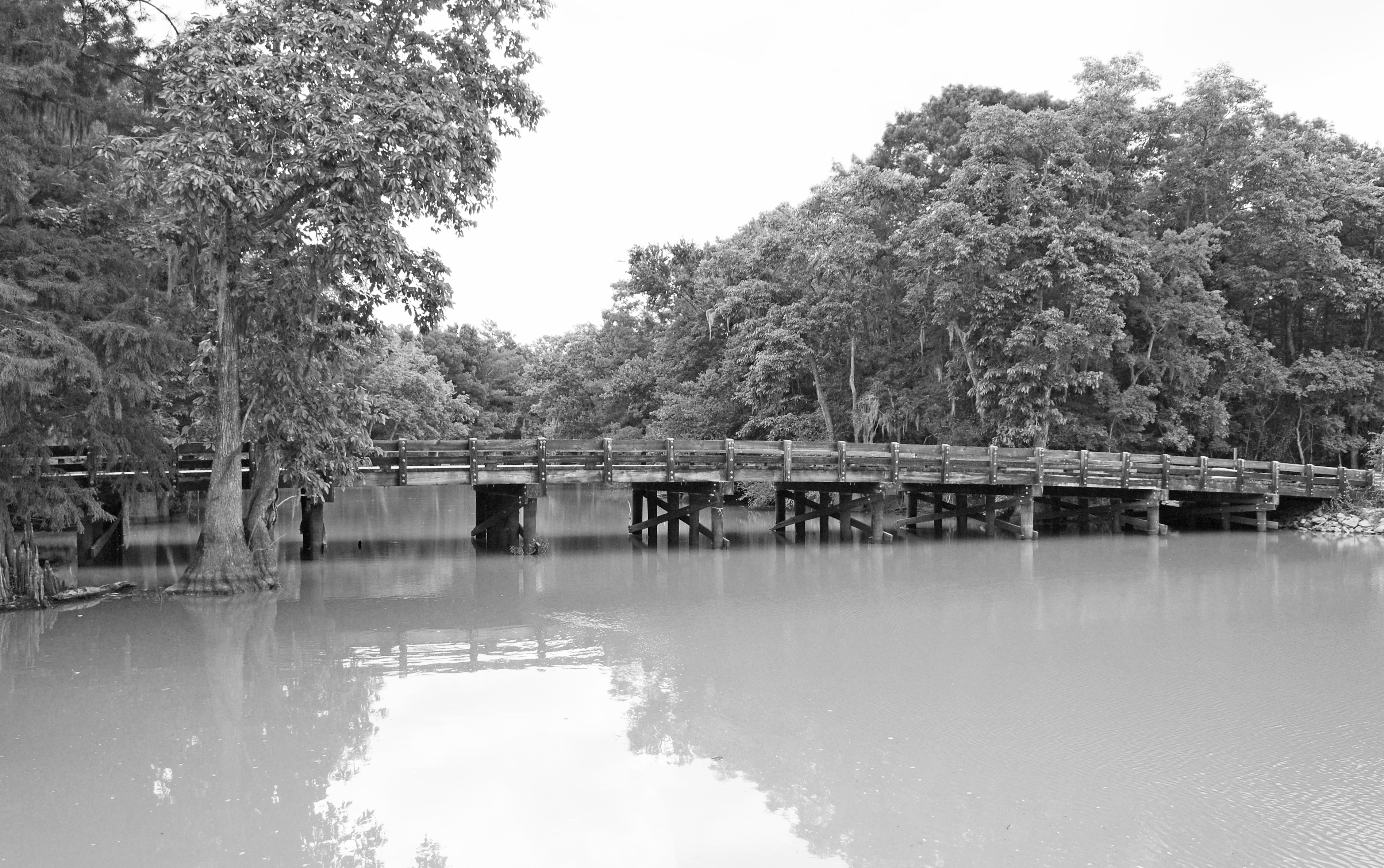
Lorrain Bridge 1405241231bw
CPNWR-20140118-1145_DSC_6102.jpg
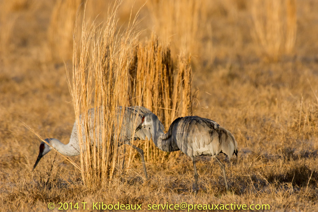
Grass used by Pyrrhuloxia
Rice field I think.JPG
Out doing a little crawfishing.
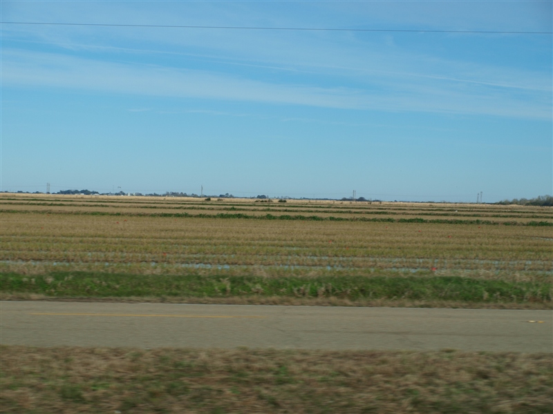
Louisiana fields.JPG
Topographic Map of Jeff Davis Rd, Bell City, LA, USA
Find elevation by address:

Places near Jeff Davis Rd, Bell City, LA, USA:
9325 La-101
6727 Sidney Derouen Rd
B St, Bell City, LA, USA
Bell City
13, LA, USA
Holland Rd, Hayes, LA, USA
7680 Sauvalle St
Hayes
7678 Joe Breaux Rd
11027 Simons Rd
Harris Rd, Iowa, LA, USA
10525 Prairie 7-20-c
Ardoin Cove Road
721 S Lightner Ave
17231 Us-90
15061 W Niblett Rd
15037 W Niblett Rd
12680 Leblanc Rd
10, LA, USA
6190 Nick Martone Rd
Recent Searches:
- Elevation of Crystal Cir, Birmingham, AL, USA
- Elevation of N Railroad Ave, West Palm Beach, FL, USA
- Elevation of 55 Cassick Valley Rd, Wellfleet, MA, USA
- Elevation of Ironwood Dr, Minden, NV, USA
- Elevation of 高尾山口駅, Takaomachi, Hachioji, Tokyo -, Japan
- Elevation of 15 Victory Ave, Greenville, SC, USA
- Elevation of Kota Ternate Utara, Ternate City, North Maluku, Indonesia
- Elevation of Allon St, Oceanside, NY, USA
- Elevation of Carroll Creek Rd, Custer, SD, USA
- Elevation of Lust Road, Lust Rd, Florida, USA