Elevation of Jebel Aulia, Sudan
Location: Sudan > Khartoum >
Longitude: 32.5259596
Latitude: 15.2286363
Elevation: 390m / 1280feet
Barometric Pressure: 97KPa
Elevation Map:
Satellite Map:
Related Photos:

أناجيك...

Gebel Awlia / جبل اولياء (Sudan) - Banks of Nile River

Khartoum / الخرطوم (Sudan) - Village on the way to Gebel Awlia
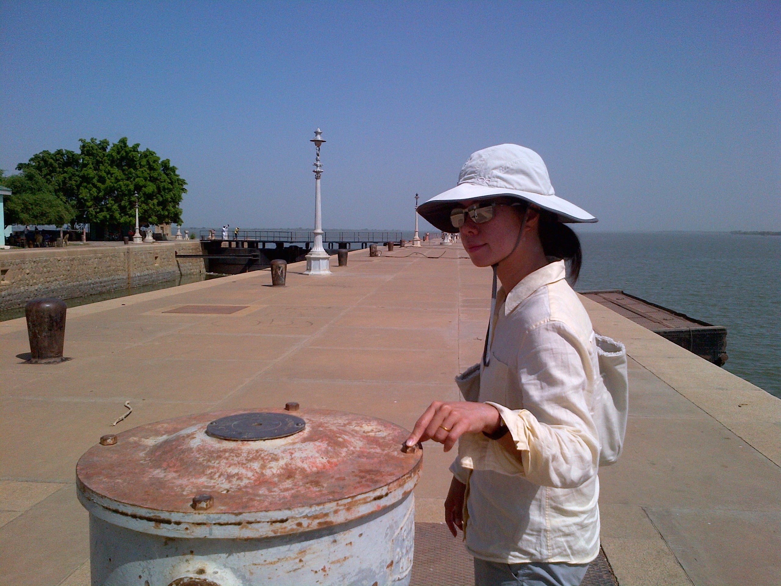
Sandra at the main lock of the Jebel Aulia Dam
Topographic Map of Jebel Aulia, Sudan
Find elevation by address:

Places near Jebel Aulia, Sudan:
Recent Searches:
- Elevation of Tenjo, Cundinamarca, Colombia
- Elevation of Côte-des-Neiges, Montreal, QC H4A 3J6, Canada
- Elevation of Bobcat Dr, Helena, MT, USA
- Elevation of Zu den Ihlowbergen, Althüttendorf, Germany
- Elevation of Badaber, Peshawar, Khyber Pakhtunkhwa, Pakistan
- Elevation of SE Heron Loop, Lincoln City, OR, USA
- Elevation of Slanický ostrov, 01 Námestovo, Slovakia
- Elevation of Spaceport America, Co Rd A, Truth or Consequences, NM, USA
- Elevation of Warwick, RI, USA
- Elevation of Fern Rd, Whitmore, CA, USA