Elevation of Jaycees Rd, Rockmart, GA, USA
Location: United States > Georgia > Paulding County > Rockmart >
Longitude: -84.996568
Latitude: 34.043651
Elevation: 263m / 863feet
Barometric Pressure: 98KPa
Elevation Map:
Satellite Map:
Related Photos:

Etowah River, prehistoric fish weir No. 5, below Douthit Ferry Road, Bartow County, Georgia 3
NS 285 at McPherson with UP 9004
Etowah River, prehistoric fish weir No. 5, below Douthit Ferry Road, Bartow County, Georgia 1
Etowah River, prehistoric fish weir No. 7, below Douthit Ferry Road, Bartow County, Georgia 2
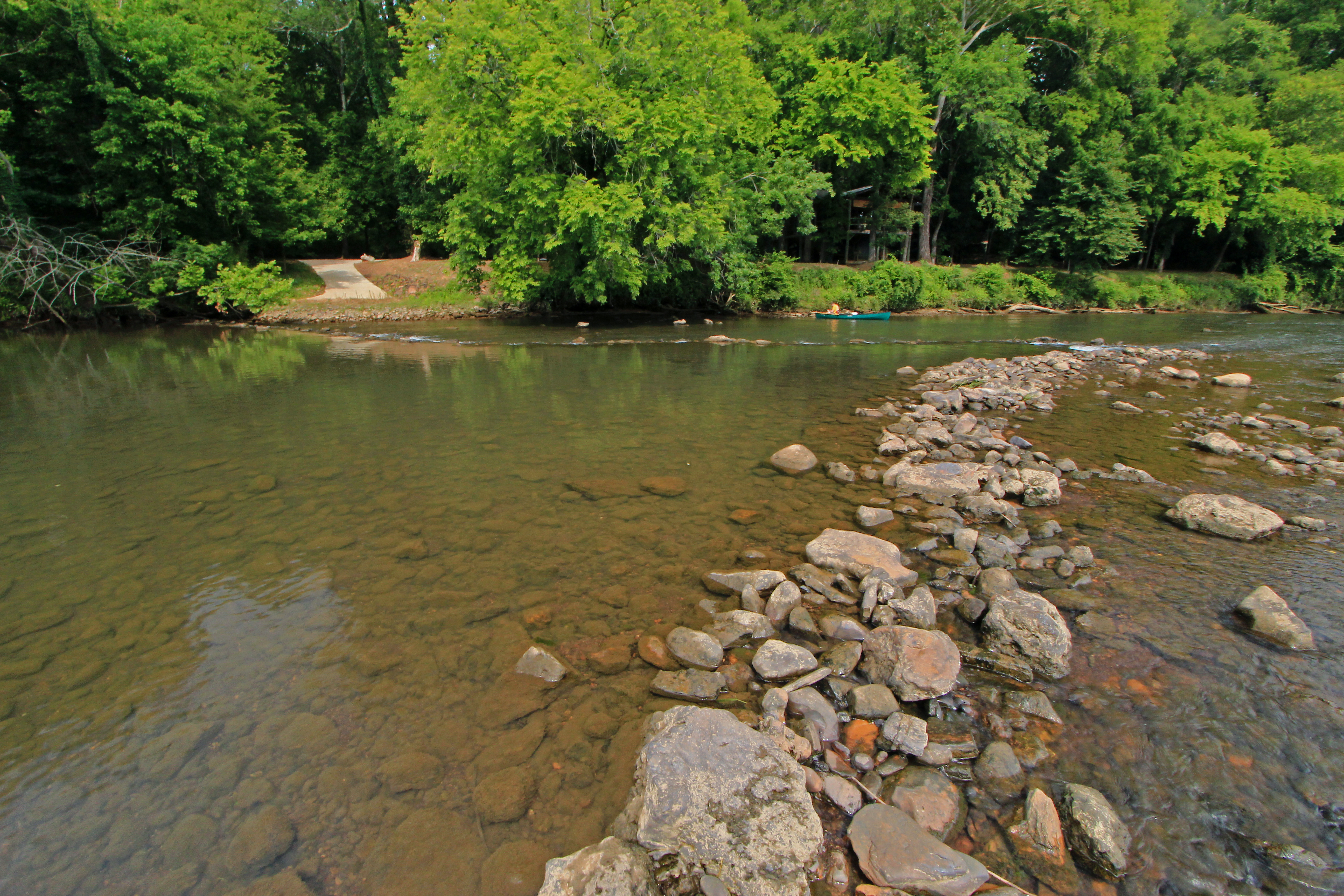
Etowah River, prehistoric fish weir No. 5, below Douthit Ferry Road, Bartow County, Georgia 2

Last Call Before Lights Out
High Shoals Falls
The Road Home
DSC_0269 Nature Reclaims Industry

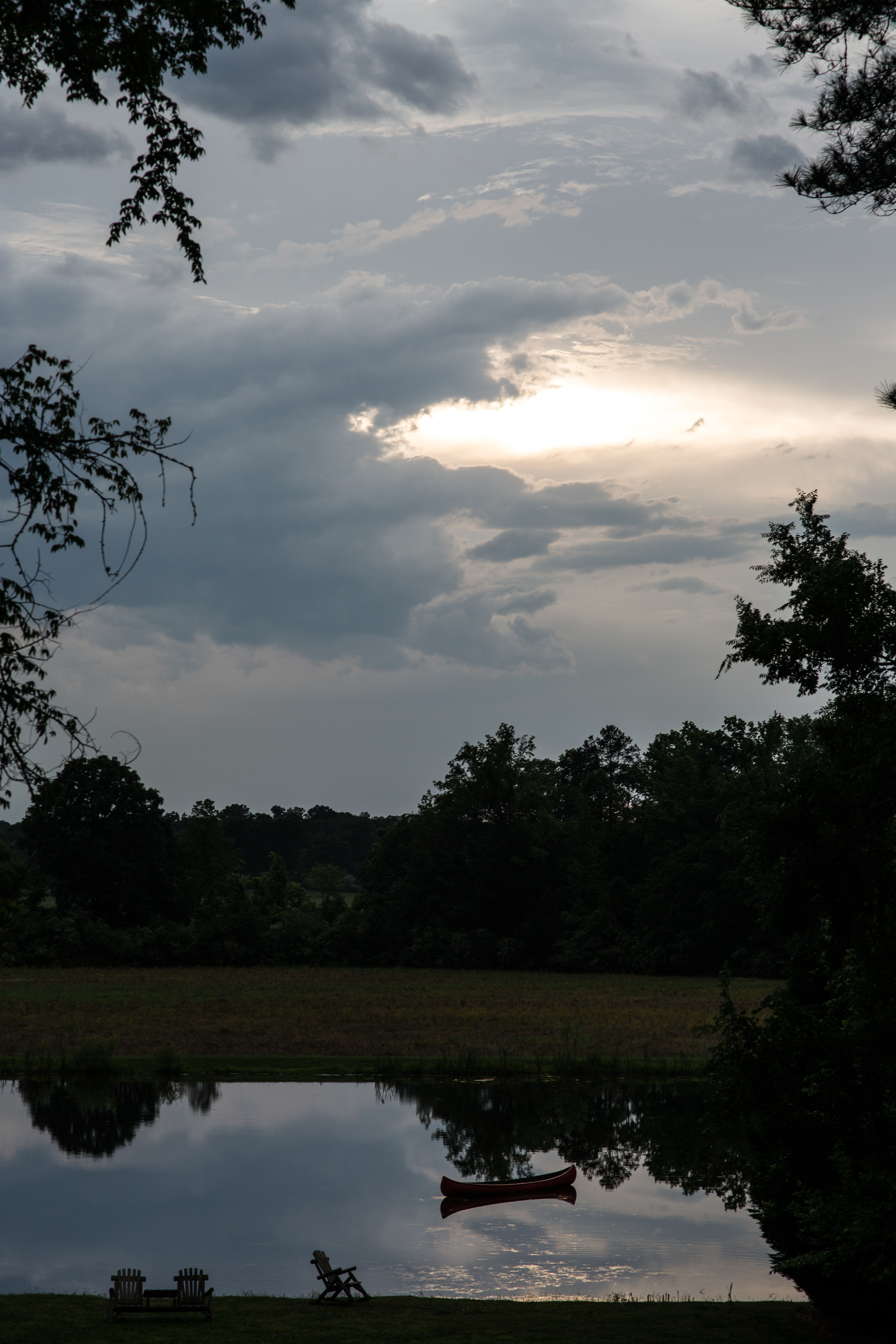
Cloud view from Rockmart toward Cartersville.
Broken, Forgotten
Chartie W. Ramsey 1877-1912 Wife of W.D. McGowan
Grasshopper Sparrow. Brandon Farm Rd, Bartow County, 20 October 2015. Photo by Ken Blankenship

Merlin. Taff Rd, Bartow County, 20 October 2015. Photo by JoAnn M. King
Merlin. Taff Rd, Bartow County, 20 October 2015. Photo by JoAnn M. King
High Shoals Falls

Etowah River, prehistoric fish weir No. 1, below Euharlee Road, Bartow County, Georgia 3
Etowah River, prehistoric fish weir No. 1, below Euharlee Road, Bartow County, Georgia 2

Plant Bowen
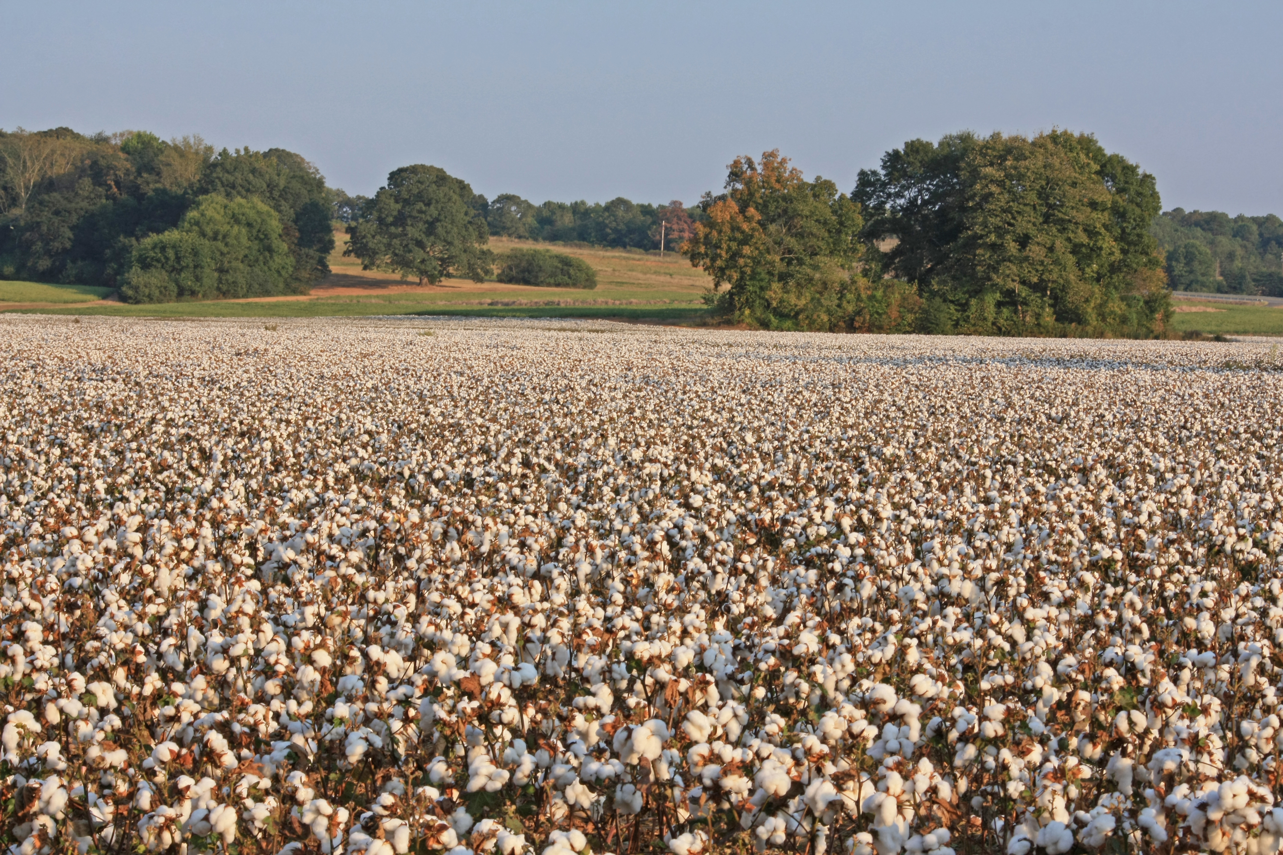
Gossypium hirsutum, cultivated crop, near Euharlee, Bartow County, Georgia 3
Etowah River, prehistoric fish weir No. 6, below Douthit Ferry Road, Bartow County, Georgia 1

Plant Bowen, Georgia Power Company, near Euharlee, Bartow County, Georgia 1

foggy morning in GA
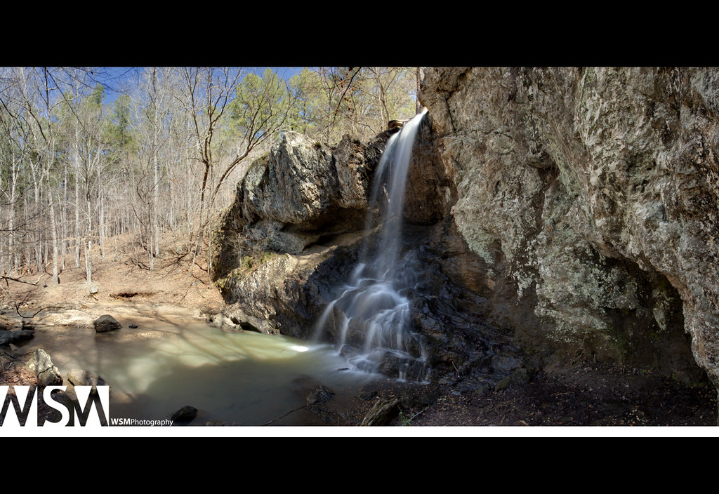
High Shoals Falls Panoramic

foggy GA sunrise

country morning
K&K Wedding-78

A Ride to the Country Side

Changing Sunset Skyline Panas
on a walk

Dsc00853- Sunset Colors
Topographic Map of Jaycees Rd, Rockmart, GA, USA
Find elevation by address:

Places near Jaycees Rd, Rockmart, GA, USA:
Portland Rd, Aragon, GA, USA
Taylorsville
565 Lane St
448 Clearwater St
Aragon
Rockmart
Braswell
1460 Prospect Rd
126 W Elm St
Brushy Mountain Road
Brushy Mountain Rd, Rockmart, GA, USA
3 Mountain Path
362 Pea Ridge Rd
Morgan Valley Road
118 Browntown Rd
462 Old Brock Rd
745 Fairview Dr
Corley Dr, Dallas, GA, USA
Mc Pherson Church Rd, Dallas, GA, USA
10 Mt Moriah Rd, Dallas, GA, USA
Recent Searches:
- Elevation of Beall Road, Beall Rd, Florida, USA
- Elevation of Leguwa, Nepal
- Elevation of County Rd, Enterprise, AL, USA
- Elevation of Kolchuginsky District, Vladimir Oblast, Russia
- Elevation of Shustino, Vladimir Oblast, Russia
- Elevation of Lampiasi St, Sarasota, FL, USA
- Elevation of Elwyn Dr, Roanoke Rapids, NC, USA
- Elevation of Congressional Dr, Stevensville, MD, USA
- Elevation of Bellview Rd, McLean, VA, USA
- Elevation of Stage Island Rd, Chatham, MA, USA