Elevation of Januarieskraal, R, South Africa
Location: South Africa > Western Cape > West Coast Dc > Malmesbury >
Longitude: 18.44917
Latitude: -33.39389
Elevation: -10000m / -32808feet
Barometric Pressure: 295KPa
Elevation Map:
Satellite Map:
Related Photos:

View Of Table Mountain From The West Coast Road
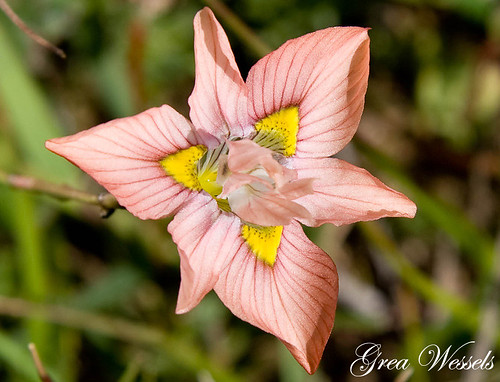
Flower Geometry
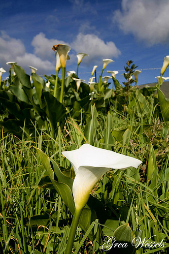
Arum lilies

Sunset on the dam

Darling Farm gate
Darling Flowers

(Day 14) Darling, Western Cape

(Day 14) Darling, Western Cape

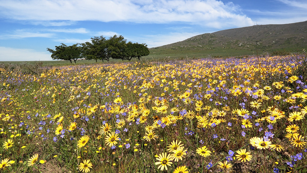
#wildflowers
Topographic Map of Januarieskraal, R, South Africa
Find elevation by address:

Places near Januarieskraal, R, South Africa:
Dassenberg Drive
Groenerivier Estate
Kalbaskraal
Marksman's Nest Firearms Training Centre & Shooting Range
Malmesbury
Mount Royal Golf & Country Estate
Malmesbury Golf Club
Malmesbury
Langgewens Research Farm
Fonteine Village Retirement Complex
Piet My Vrou Road
Van Riebeeckstrand
Melkbosstrand
Manatoka Heights
Moorreesburg
Cape Farms
Fynbos Estate
Groenrivier Function Centre
1783 Merindal St
Paarl
Recent Searches:
- Elevation of W Granada St, Tampa, FL, USA
- Elevation of Pykes Down, Ivybridge PL21 0BY, UK
- Elevation of Jalan Senandin, Lutong, Miri, Sarawak, Malaysia
- Elevation of Bilohirs'k
- Elevation of 30 Oak Lawn Dr, Barkhamsted, CT, USA
- Elevation of Luther Road, Luther Rd, Auburn, CA, USA
- Elevation of Unnamed Road, Respublika Severnaya Osetiya — Alaniya, Russia
- Elevation of Verkhny Fiagdon, North Ossetia–Alania Republic, Russia
- Elevation of F. Viola Hiway, San Rafael, Bulacan, Philippines
- Elevation of Herbage Dr, Gulfport, MS, USA