Elevation of Jamaica, IA, USA
Location: United States > Iowa > Guthrie County > Richland >
Longitude: -94.309687
Latitude: 41.8460962
Elevation: 314m / 1030feet
Barometric Pressure: 98KPa
Elevation Map:
Satellite Map:
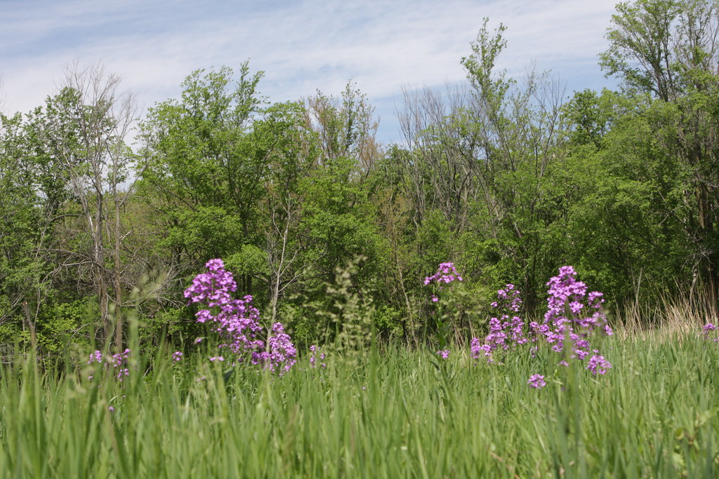
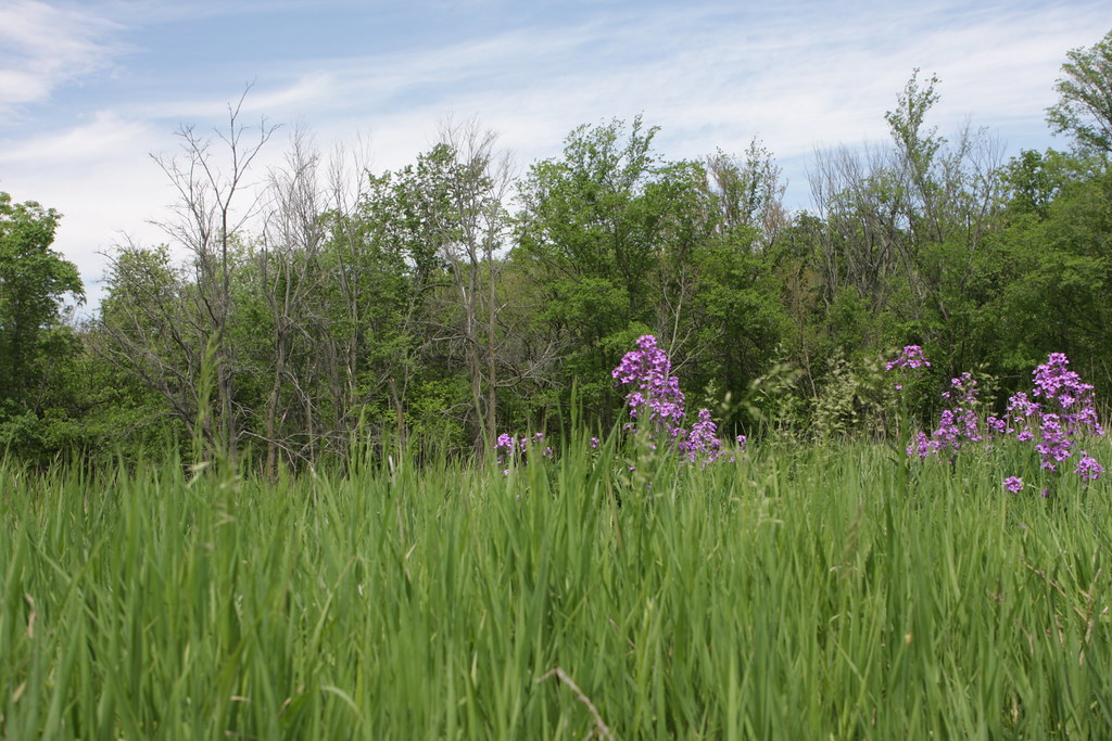
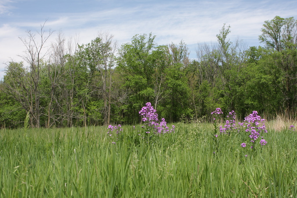
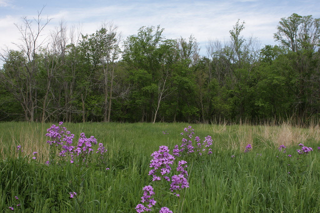
Related Photos:
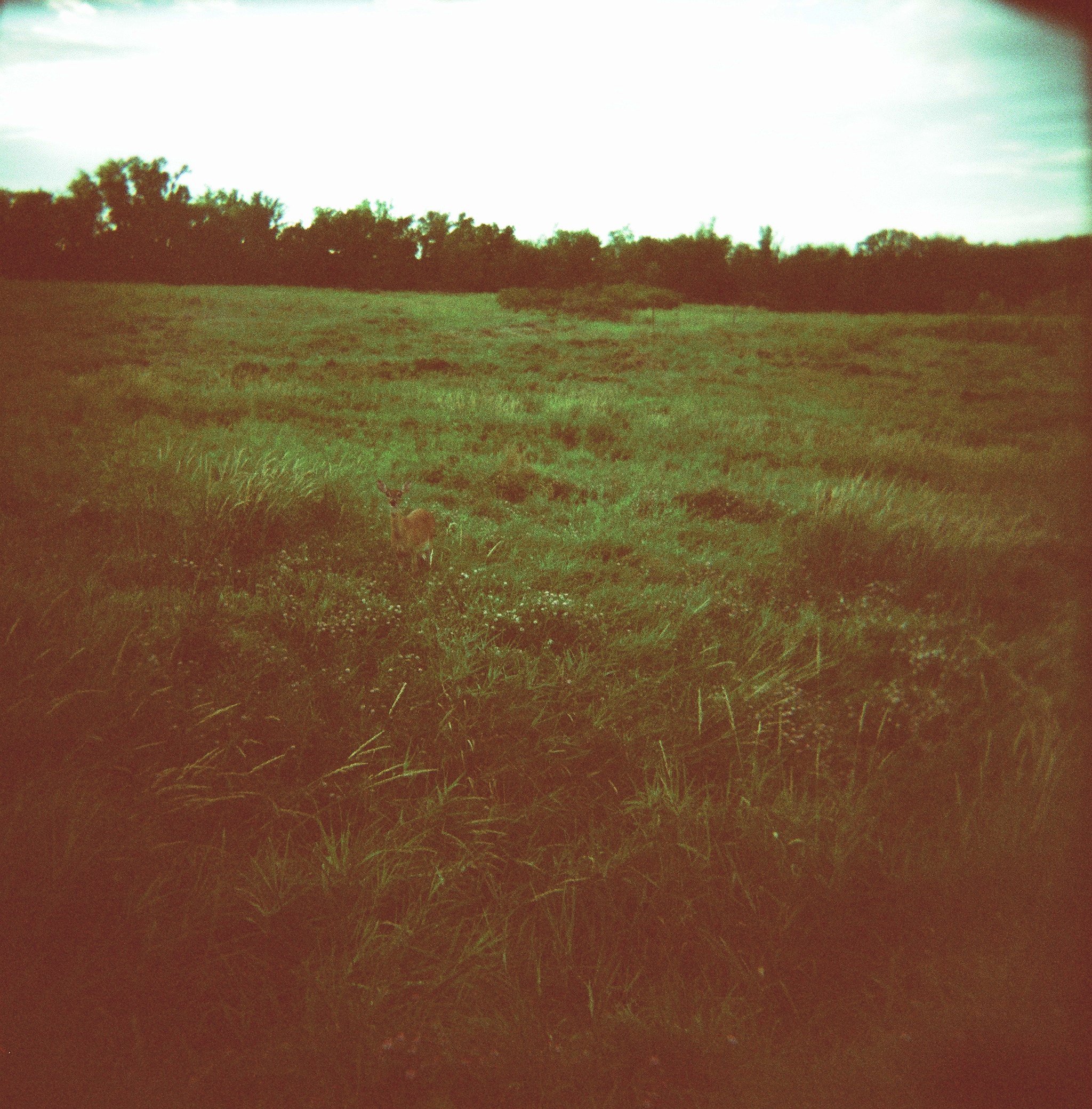
deer, springbrook state park

Blue Steel took a picture!
Blue Steel took a picture!
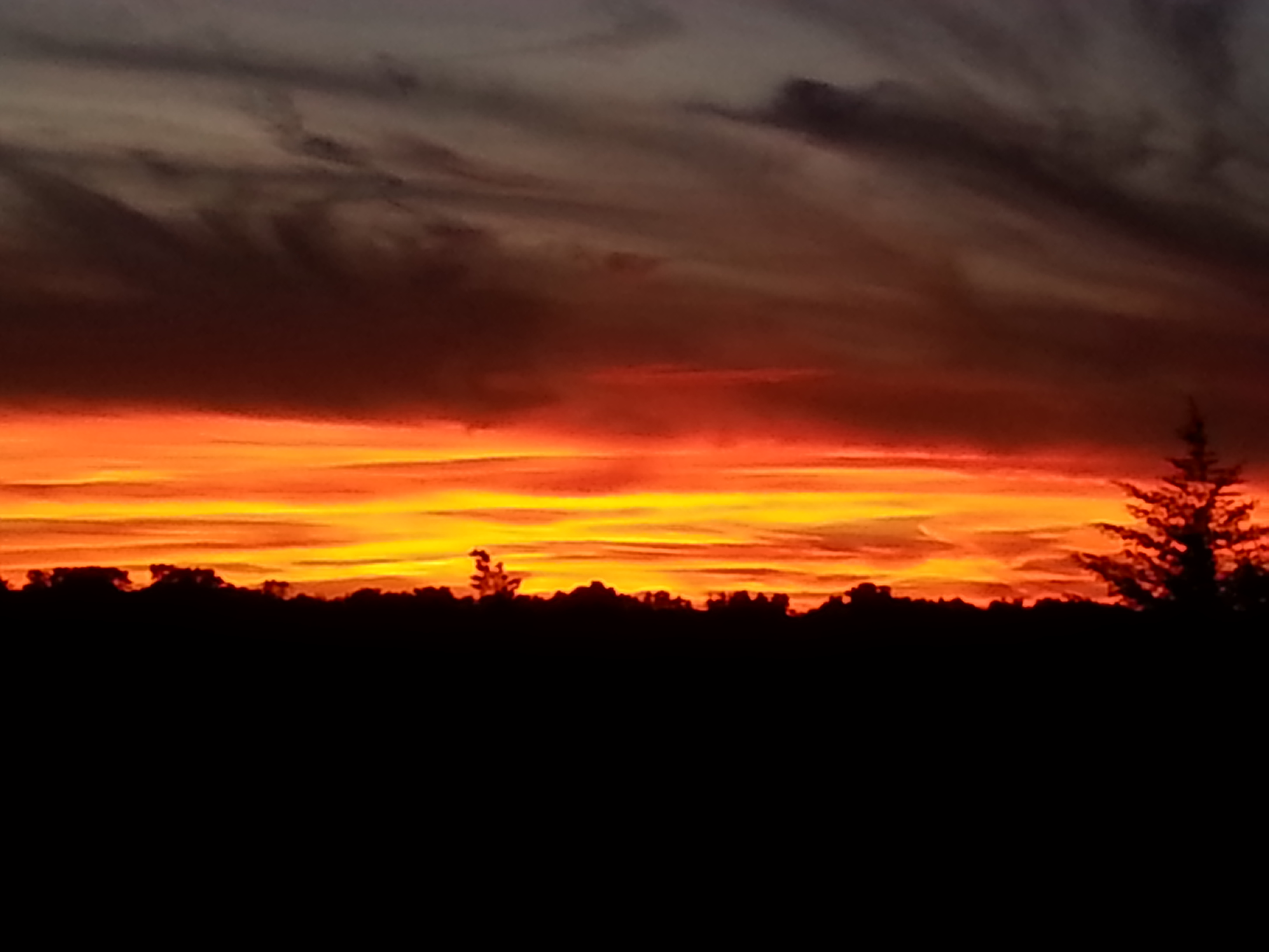
sunset 6-26-13
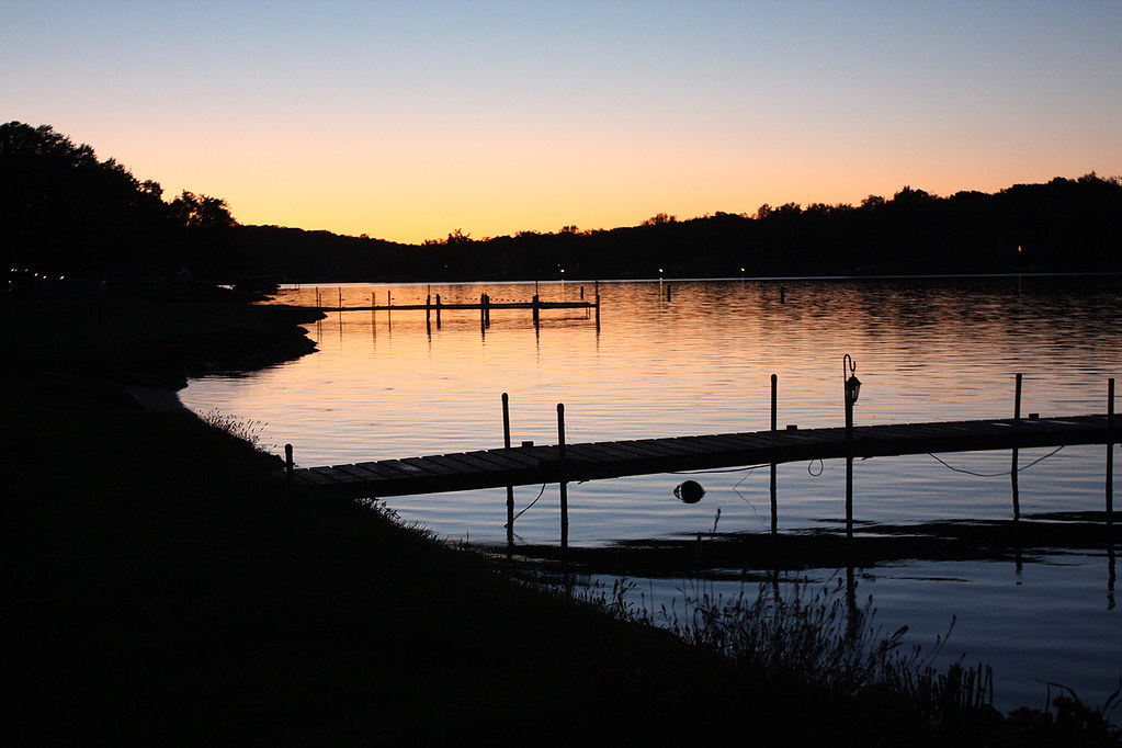
Sunset at Lake Panorama
IMG_03797.JPG
IMG_03796.JPG
IMG_03795.JPG
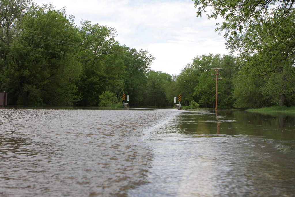
IMG_03789.JPG
Babbling Brook at 120 fps

IMG_03814.JPG
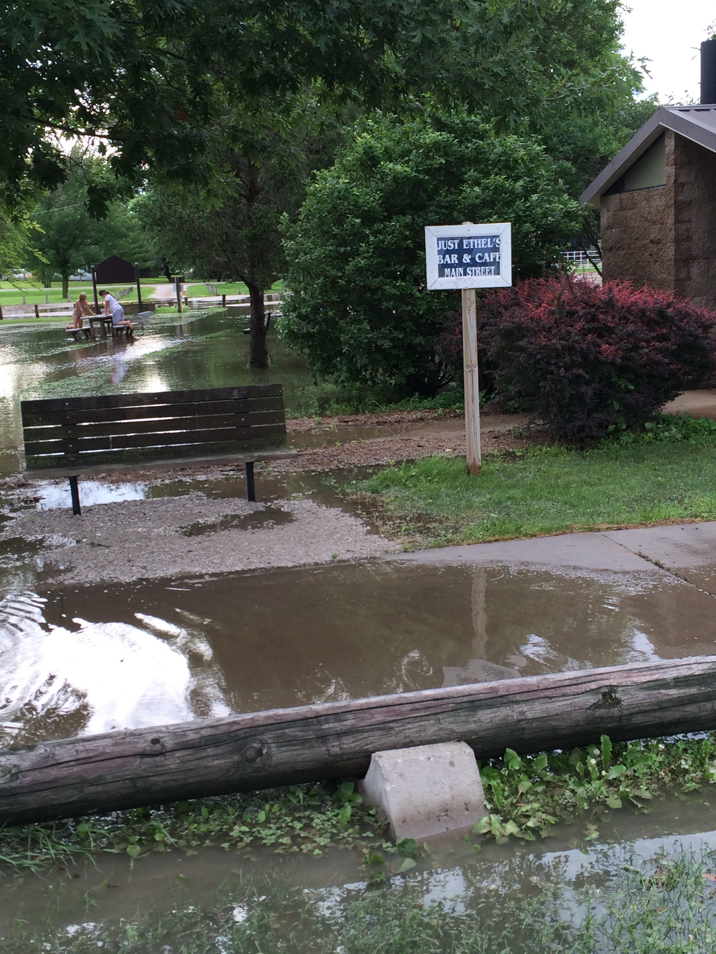
photo-3
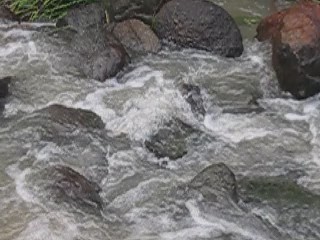
Babbling Brook at 240 fps
IMG_03812.JPG
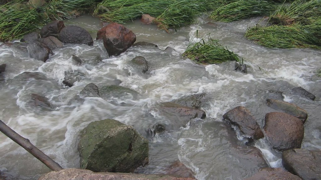
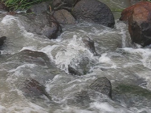
Babbling Brook
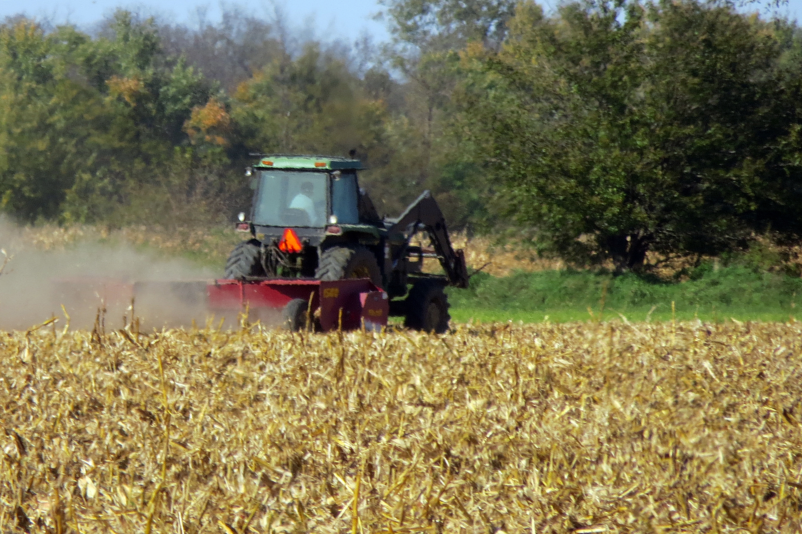
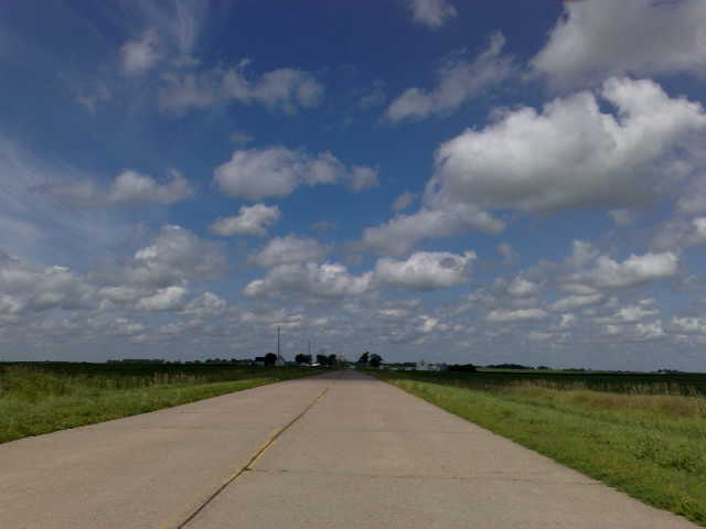
Corn field
Topographic Map of Jamaica, IA, USA
Find elevation by address:

Places in Jamaica, IA, USA:
Places near Jamaica, IA, USA:
Co Rd P30, Jamaica, IA, USA
Richland
Herndon Rd, Bagley, IA, USA
Herndon
Franklin
Cooper
E Main St, Panora, IA, USA
219 W Market St
S Elm St, Jefferson, IA, USA
Jefferson
Guthrie County
Valley
710 N 12th St
902 N 5th St
State St, Guthrie Center, IA, USA
Guthrie Center
Falcon Avenue
Greene County
Scranton
Penn
Recent Searches:
- Elevation of Corso Fratelli Cairoli, 35, Macerata MC, Italy
- Elevation of Tallevast Rd, Sarasota, FL, USA
- Elevation of 4th St E, Sonoma, CA, USA
- Elevation of Black Hollow Rd, Pennsdale, PA, USA
- Elevation of Oakland Ave, Williamsport, PA, USA
- Elevation of Pedrógão Grande, Portugal
- Elevation of Klee Dr, Martinsburg, WV, USA
- Elevation of Via Roma, Pieranica CR, Italy
- Elevation of Tavkvetili Mountain, Georgia
- Elevation of Hartfords Bluff Cir, Mt Pleasant, SC, USA