Elevation of Jalgaon, Maharashtra, India
Location: India > Maharashtra > Jalgaon >
Longitude: 75.5626039
Latitude: 21.0076578
Elevation: 225m / 738feet
Barometric Pressure: 99KPa
Elevation Map:
Satellite Map:
Related Photos:
Ajanta Cave_v031
Ajanta Cave_v030

Praful Bhuskute
Marathi girl
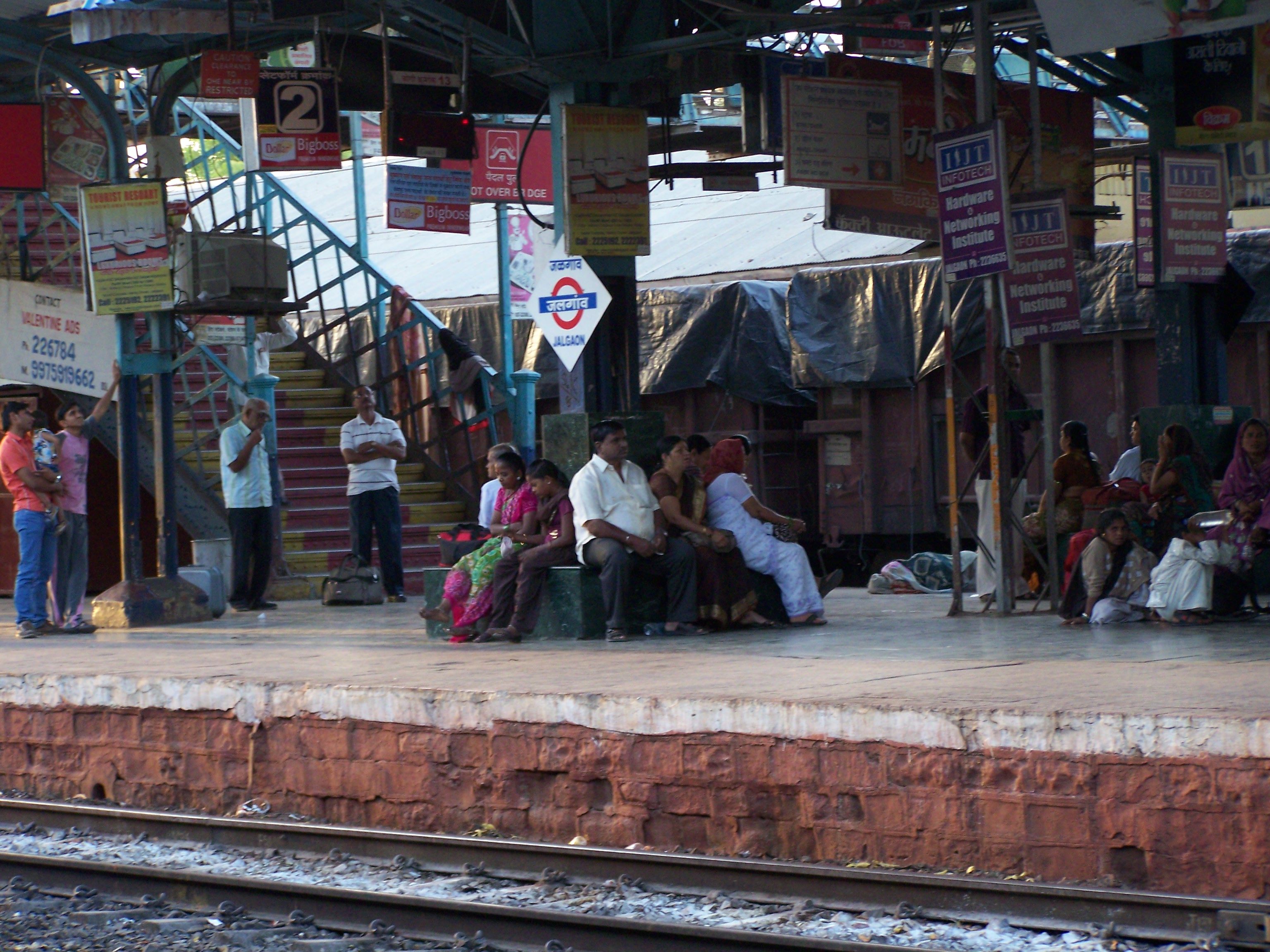
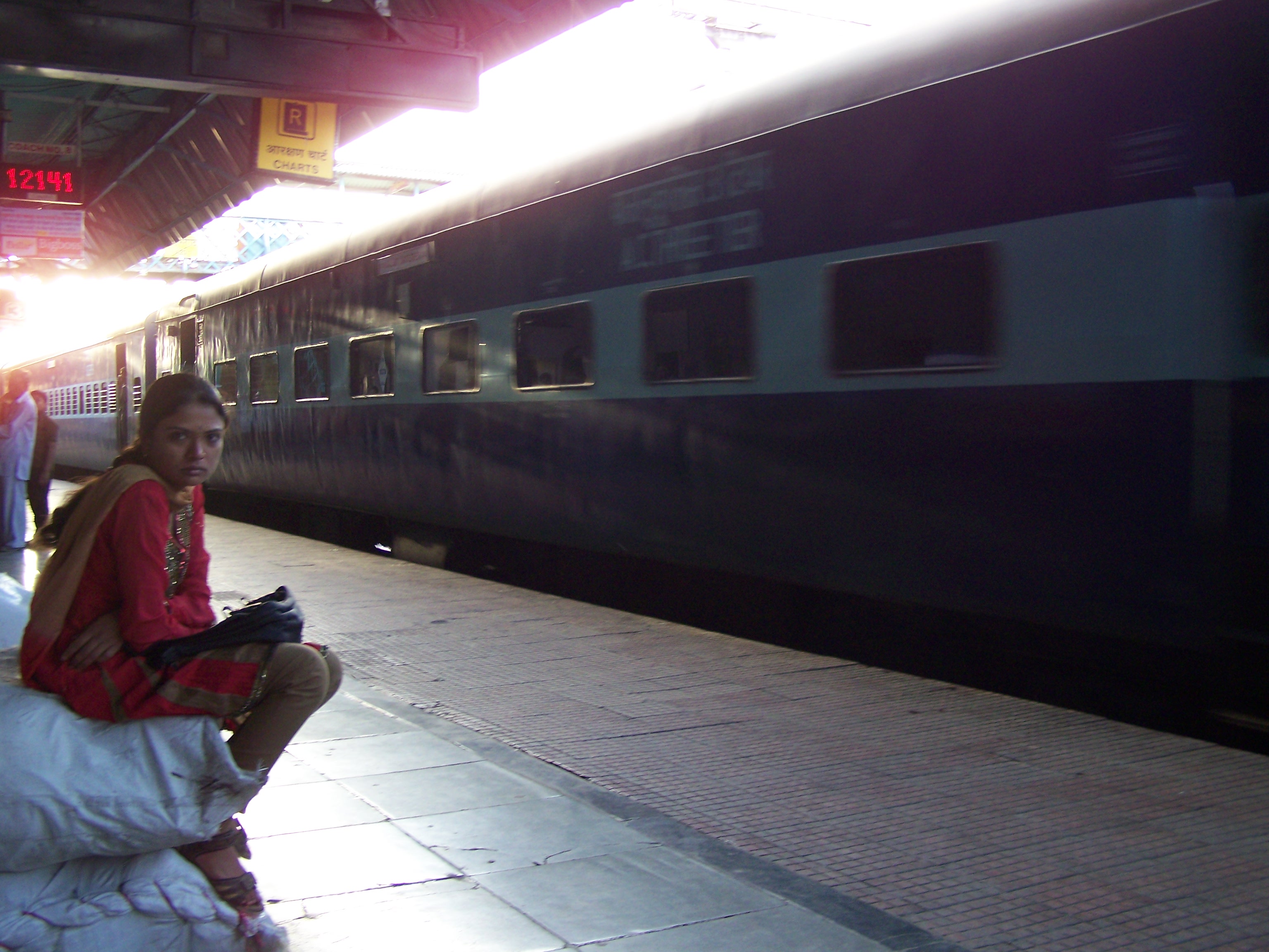
Jalgaon railway station
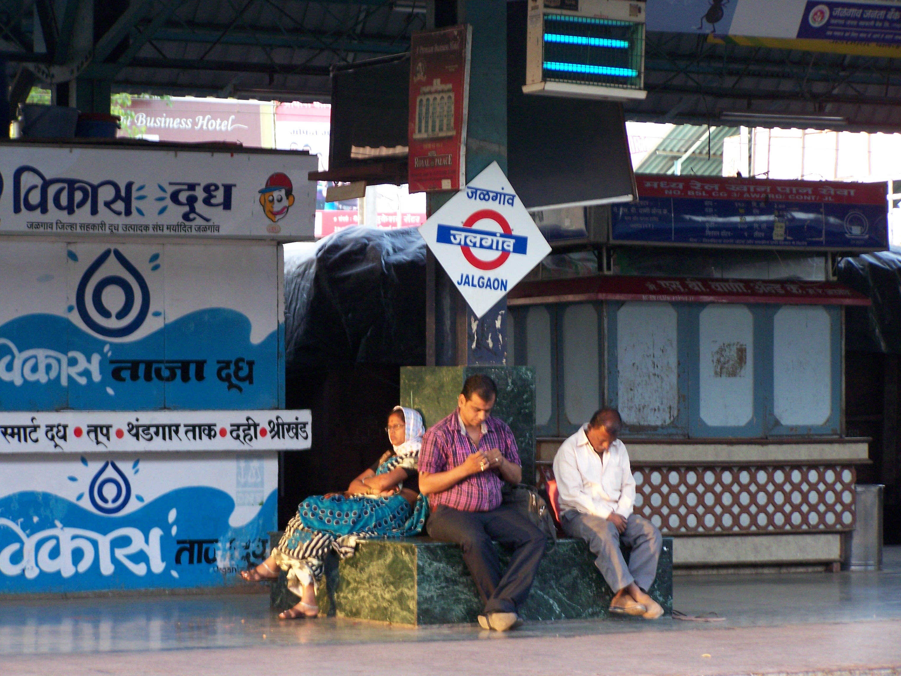
Jalgaon railway station (3)

Jalgaon railway station (2)

Locals @ Jalgaon

platform 3

PG/0117/A/11/100019

PG/0117/A/11/100019

The Keskars

Huge sky
Dark clouds
WP_20130910_005 (2)
WP_20130910_007 (2)

WP_20130912_034 (2)

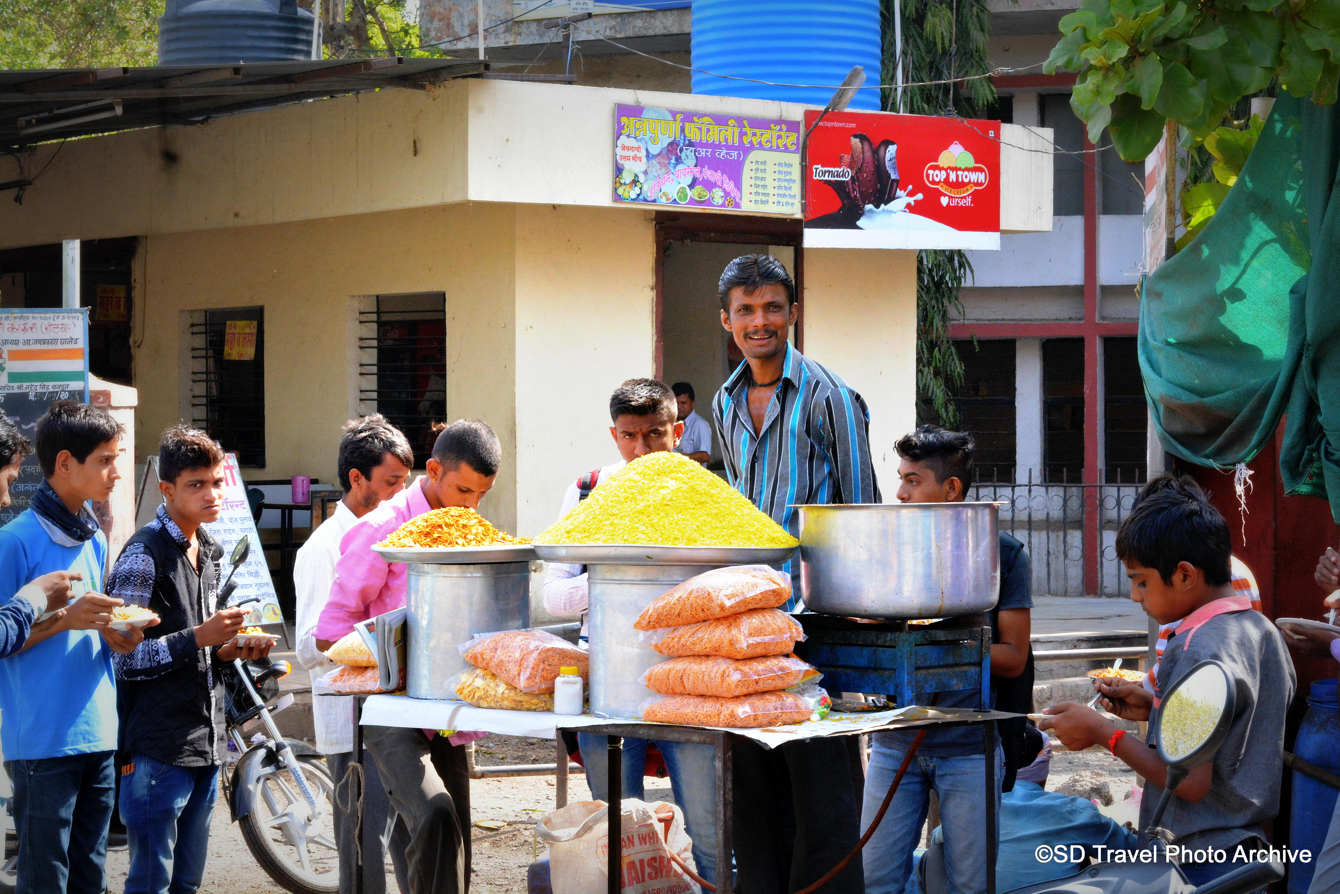
a kid @ jalgaon

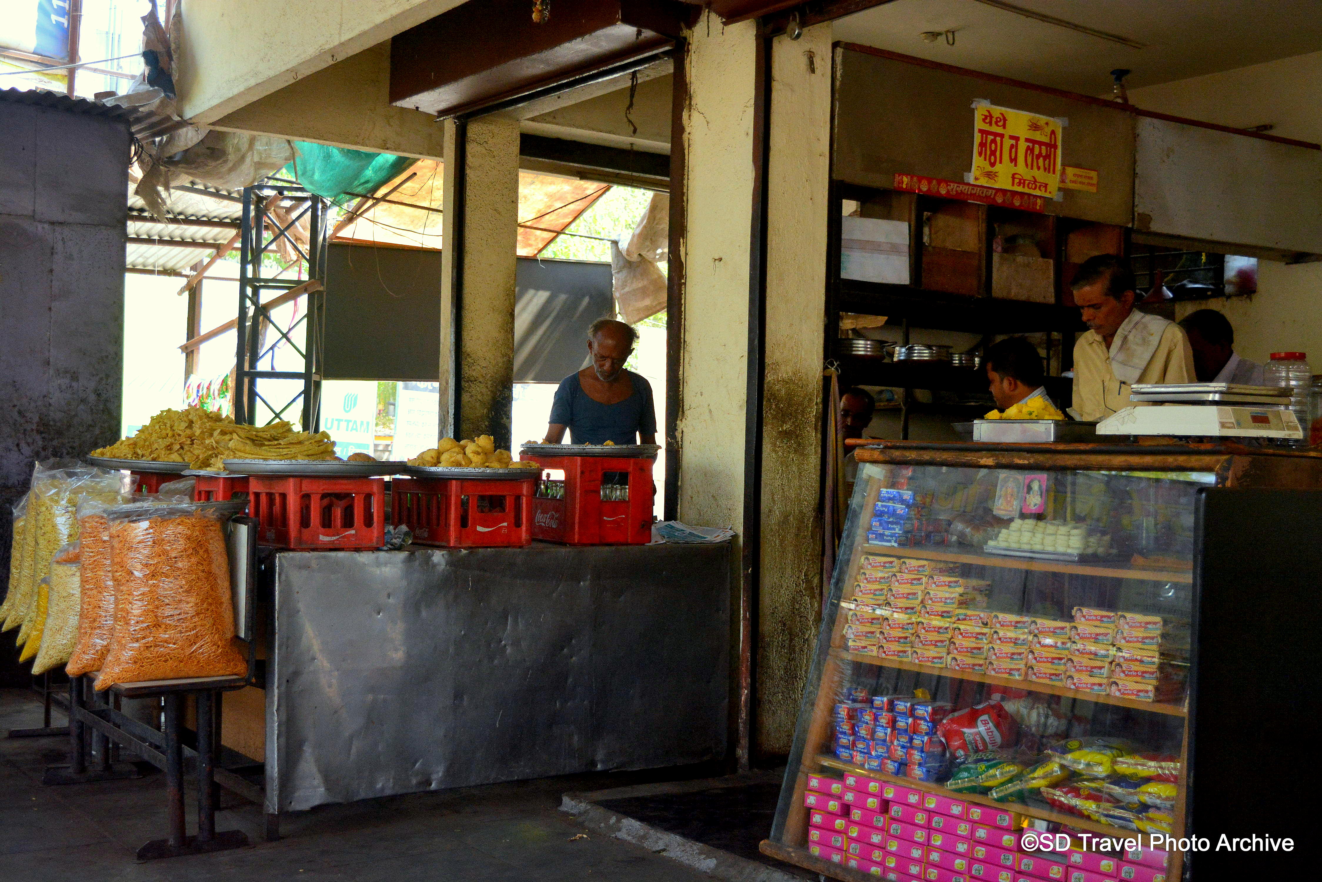
mobile restaurant

Jalgaon railway station

Jalgaon Railway Station
Topographic Map of Jalgaon, Maharashtra, India
Find elevation by address:

Places near Jalgaon, Maharashtra, India:
Jalgaon
Vanjole
Bhusawal
Erandol
Dharangaon
Jamner
Pachora
Soygaon
Parola
Bhadgaon
Sillod
Bhokardan
Songir
Chalisgaon
Dhule
Midc Avdhan
Laling Toll Plaza
Kannad
Kanoli Dam
Dhule
Recent Searches:
- Elevation of Spaceport America, Co Rd A, Truth or Consequences, NM, USA
- Elevation of Warwick, RI, USA
- Elevation of Fern Rd, Whitmore, CA, USA
- Elevation of 62 Abbey St, Marshfield, MA, USA
- Elevation of Fernwood, Bradenton, FL, USA
- Elevation of Felindre, Swansea SA5 7LU, UK
- Elevation of Leyte Industrial Development Estate, Isabel, Leyte, Philippines
- Elevation of W Granada St, Tampa, FL, USA
- Elevation of Pykes Down, Ivybridge PL21 0BY, UK
- Elevation of Jalan Senandin, Lutong, Miri, Sarawak, Malaysia