Elevation of Jalan Bukit Bendira, Tenom, Sabah, Malaysia
Location: Malaysia > Sabah >
Longitude: 115.939812
Latitude: 5.1251981
Elevation: 226m / 741feet
Barometric Pressure: 99KPa
Elevation Map:
Satellite Map:
Related Photos:
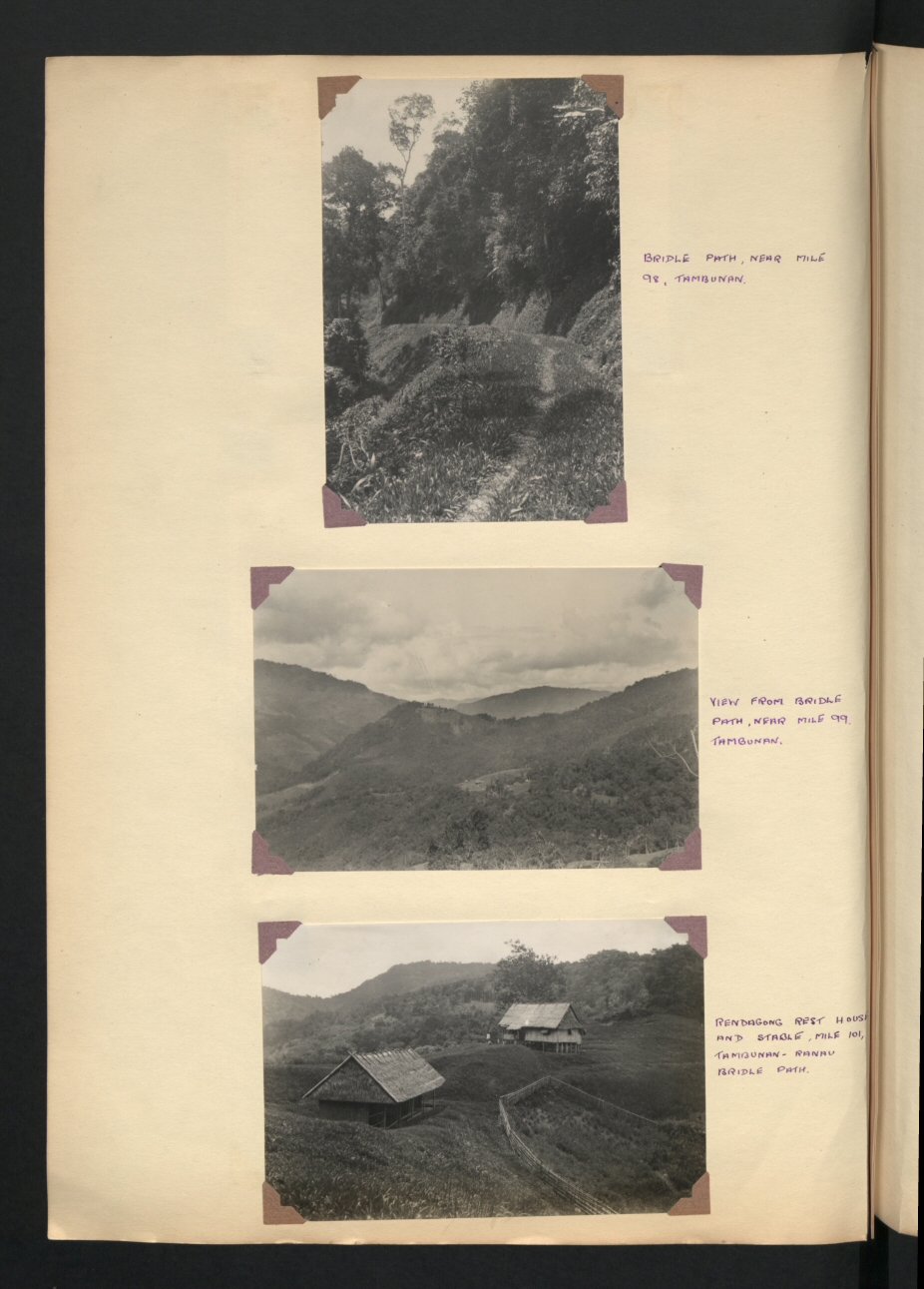
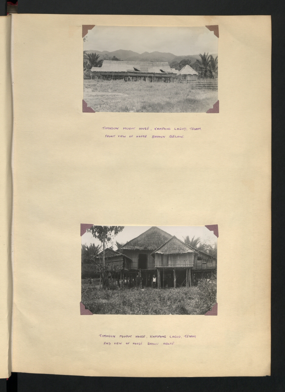
CO 1069-538-42

Trying out DJI Mavic Pro. Enjoy viewing things in different perspective. #djimavicpro
CO 1069-538-07
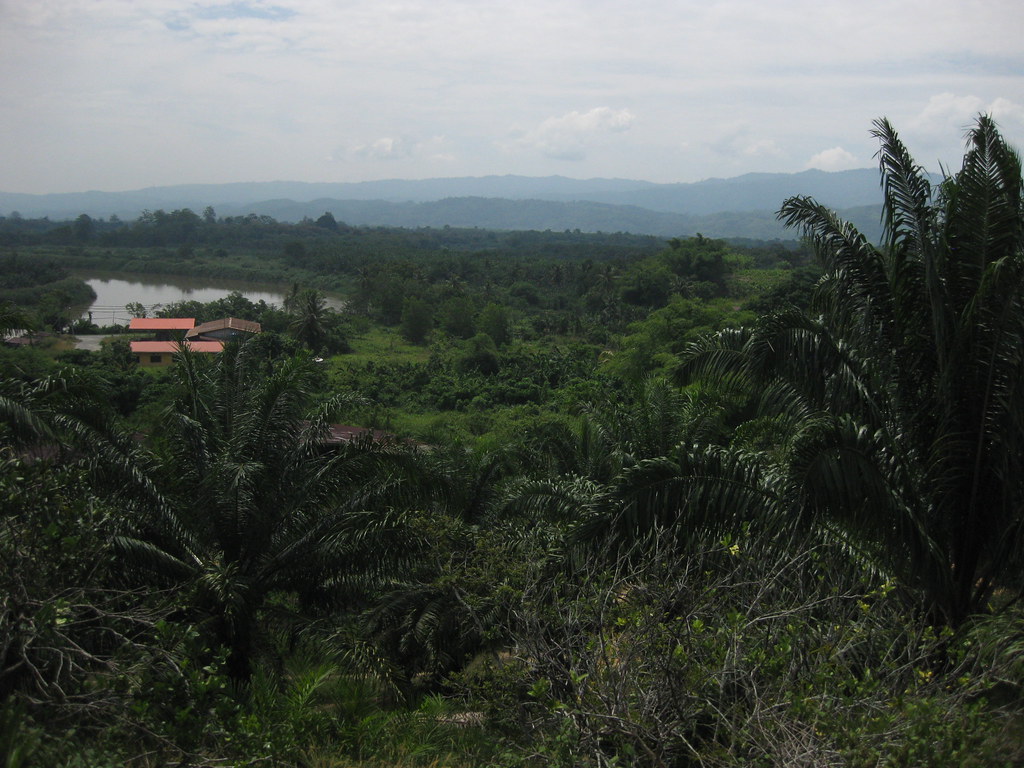
View of Tenom outskirts and Padas river
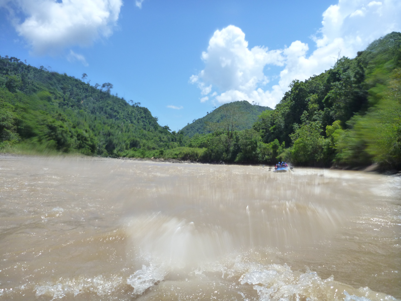
Padas 33
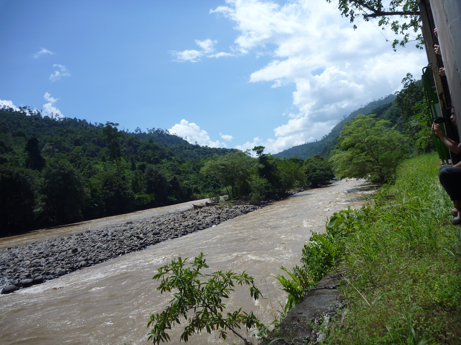
Padas 43
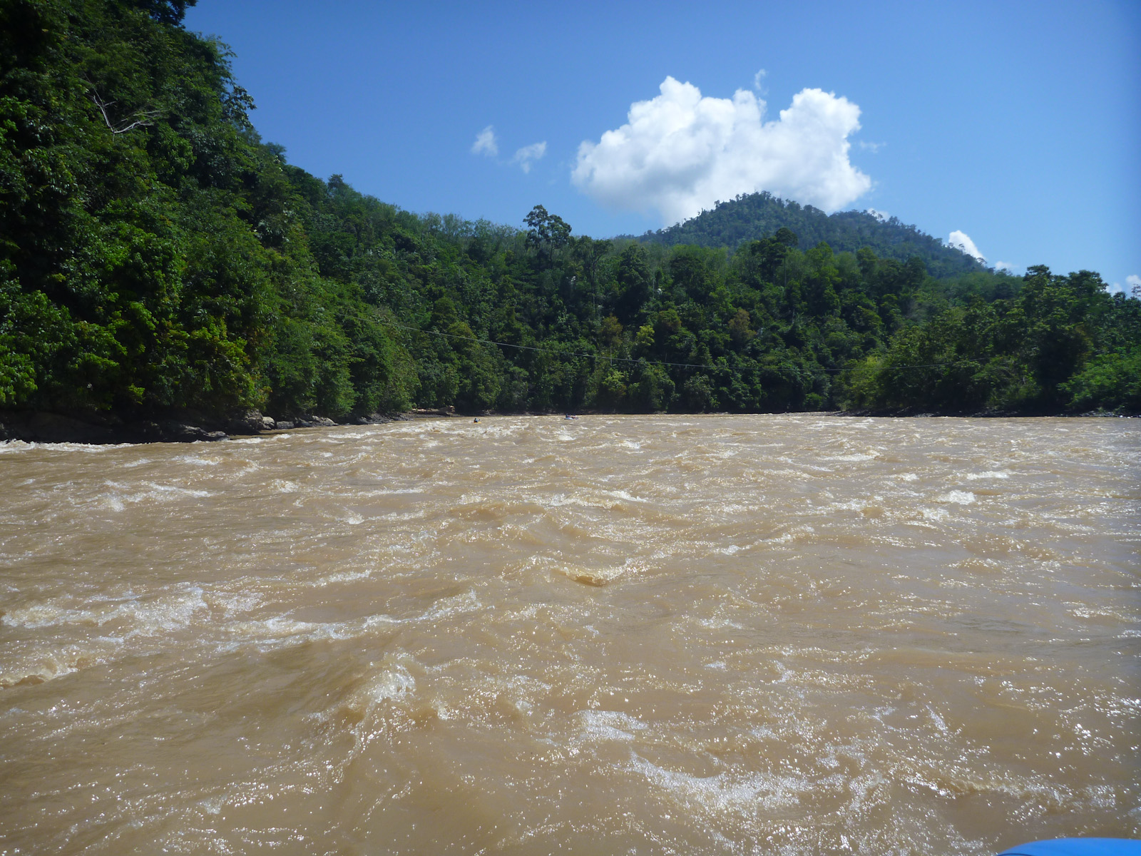
Padas 15
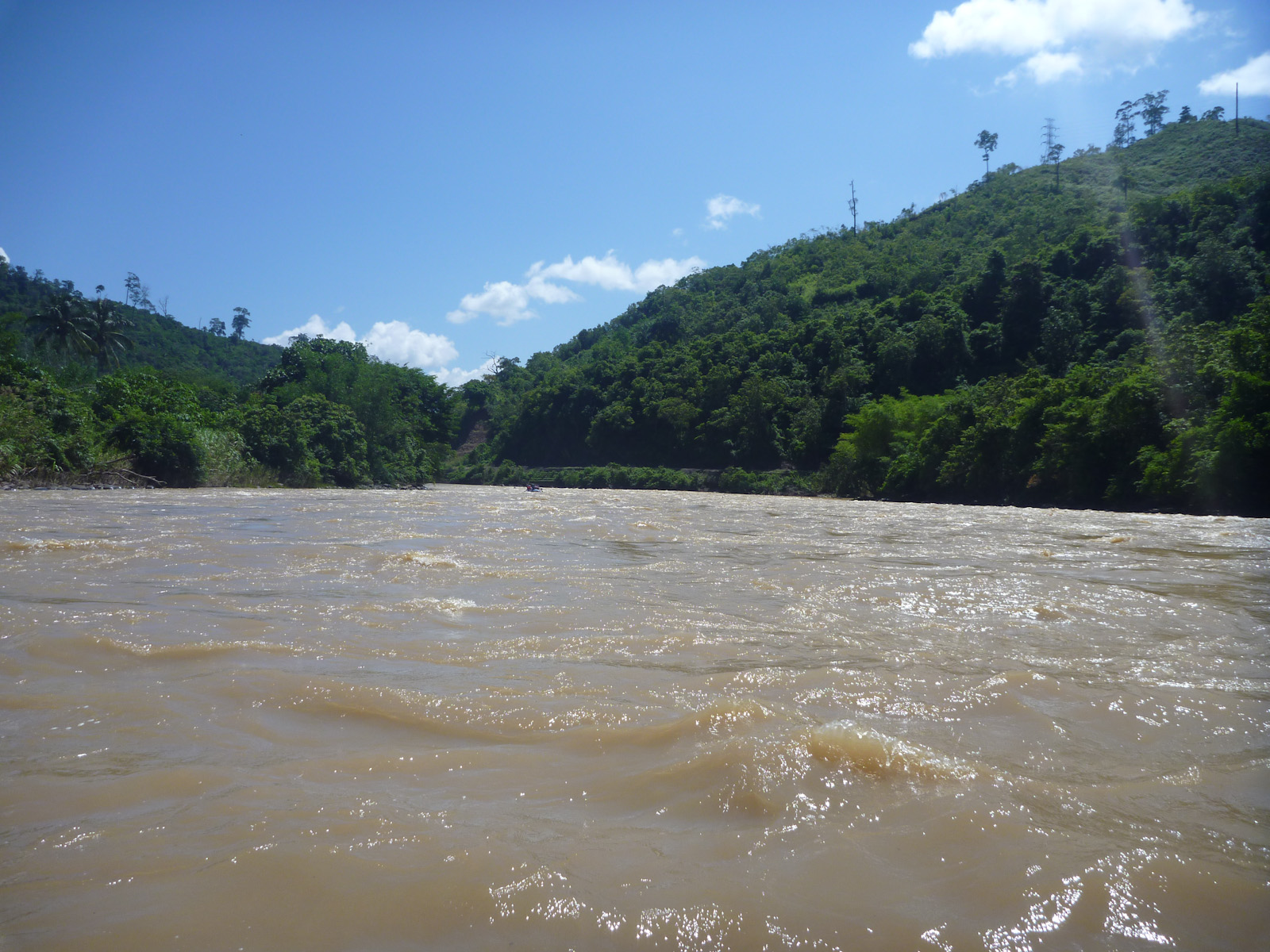
Padas 16

Padas 04
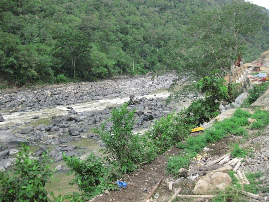
Beaufort - Tenom train ride

Padas 35
Topographic Map of Jalan Bukit Bendira, Tenom, Sabah, Malaysia
Find elevation by address:

Places near Jalan Bukit Bendira, Tenom, Sabah, Malaysia:
Recent Searches:
- Elevation of Royal Ontario Museum, Queens Park, Toronto, ON M5S 2C6, Canada
- Elevation of Groblershoop, South Africa
- Elevation of Power Generation Enterprises | Industrial Diesel Generators, Oak Ave, Canyon Country, CA, USA
- Elevation of Chesaw Rd, Oroville, WA, USA
- Elevation of N, Mt Pleasant, UT, USA
- Elevation of 6 Rue Jules Ferry, Beausoleil, France
- Elevation of Sattva Horizon, 4JC6+G9P, Vinayak Nagar, Kattigenahalli, Bengaluru, Karnataka, India
- Elevation of Great Brook Sports, Gold Star Hwy, Groton, CT, USA
- Elevation of 10 Mountain Laurels Dr, Nashua, NH, USA
- Elevation of 16 Gilboa Ln, Nashua, NH, USA