Elevation map of Jajpur, Odisha, India
Location: India > Odisha >
Longitude: 86.1751759
Latitude: 20.7652197
Elevation: 18m / 59feet
Barometric Pressure: 101KPa
Elevation Map:
Satellite Map:
Related Photos:
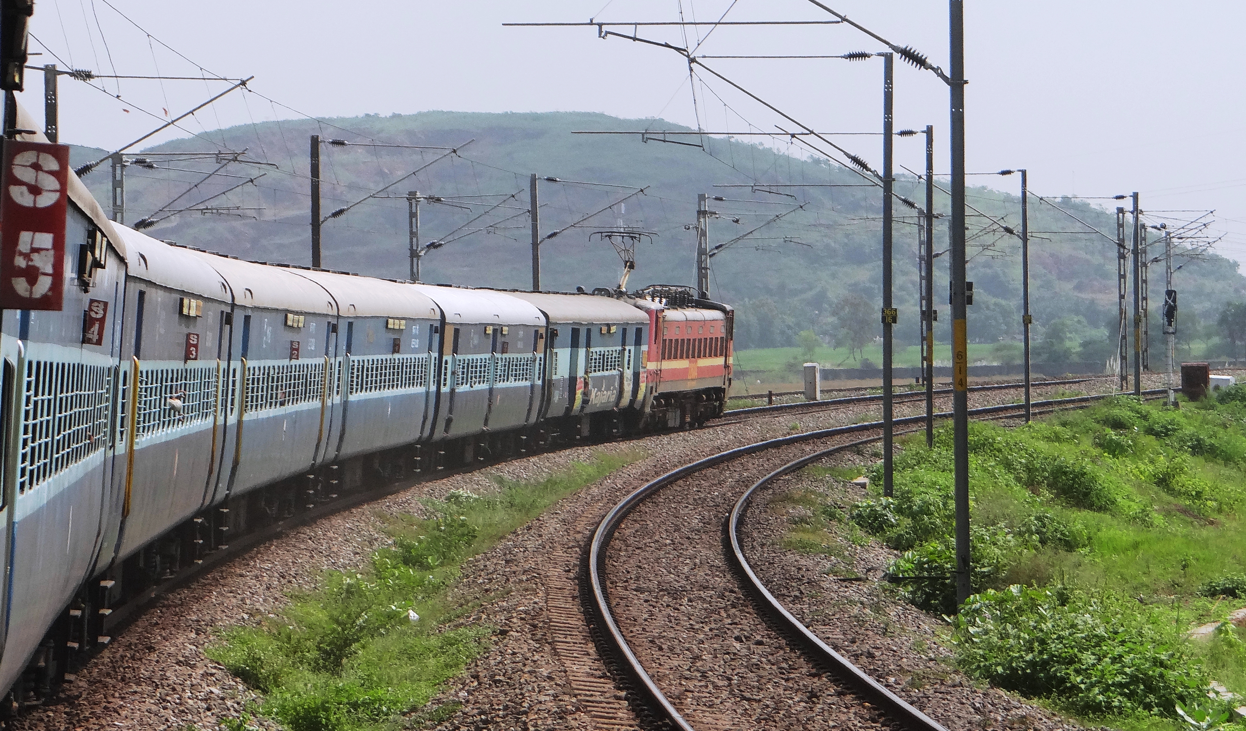
Santragachhi WAP - 4 led Falaknuma Express hits the coastal Odisha en route Cuttack...

#Odianee #OdiaCuisine #Chutney #Colourful

Found this in a magazine
Absolute bliss

Smart Boy
Topographic Map of Jajpur, Odisha, India
Find elevation by address:

Places in Jajpur, Odisha, India:
Places near Jajpur, Odisha, India:
Near Jagannath Temple
Badamangalpur
Jalauka Hill
Maguradhanmandal
Cuttack
ଧବଳେଶ୍ଵର ମନ୍ଦିର Dhabaleswara Temple
Urali
Kuakhai River
Nandankanan Zoological Park
Utkal University
Utkal Univarsity
Saheed Nagar Post Office
Saheed Nagar
Regional Museum Of Natural History
Arihant Plaza
Doordarshan Colony
Bhubaneswar
Regional Plant Resource Center
Vip Colony
Bjb Nagar
Recent Searches:
- Elevation of Eldorado do Sul - RS, Brazil
- Elevation of Eldorado do Sul - Parque Eldorado, Eldorado do Sul - RS, -, Brazil
- Elevation of 35 Governors Ln, Hilton Head Island, SC, USA
- Elevation of Orangevale, CA, USA
- Elevation of Doe Cir, Clinton, OH, USA
- Elevation of Narhe, Pune, Maharashtra, India
- Elevation of Martins Mill Ct, Eagle Rock, NC, USA
- Elevation of Kippen, Stirling FK8, UK
- Elevation of Sieveringer Straße, Sieveringer Str., Wien, Austria
- Elevation of Bratskaya Ulitsa, 24, Kurgan, Kurganskaya oblast', Russia