Elevation of Jahazpur, Rajasthan, India
Location: India > Rajasthan > Bhilwara >
Longitude: 75.2770721
Latitude: 25.6244351
Elevation: 331m / 1086feet
Barometric Pressure: 97KPa
Elevation Map:
Satellite Map:
Related Photos:
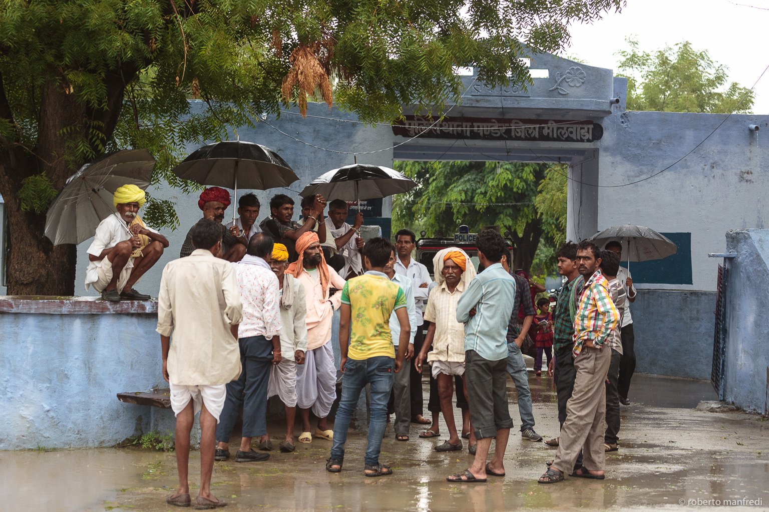
20160713-120232-Canon EOS 5D Mark III-2
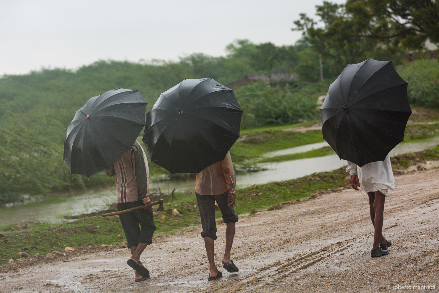
20160713-115835-Canon EOS 5D Mark III-2
Topographic Map of Jahazpur, Rajasthan, India
Find elevation by address:

Places near Jahazpur, Rajasthan, India:
Hindoli
Bundi
Kotri
Bhilwara
Fatehgarh
Nainwa
Bundi
Tonk
Gulab Sadan
Malpura
Mandal
Ajmer
Bhilwara
Jalampura
Lawa
Shreenagar
Ajmer
Gopalpura
Pushkar
Recent Searches:
- Elevation of Felindre, Swansea SA5 7LU, UK
- Elevation of Leyte Industrial Development Estate, Isabel, Leyte, Philippines
- Elevation of W Granada St, Tampa, FL, USA
- Elevation of Pykes Down, Ivybridge PL21 0BY, UK
- Elevation of Jalan Senandin, Lutong, Miri, Sarawak, Malaysia
- Elevation of Bilohirs'k
- Elevation of 30 Oak Lawn Dr, Barkhamsted, CT, USA
- Elevation of Luther Road, Luther Rd, Auburn, CA, USA
- Elevation of Unnamed Road, Respublika Severnaya Osetiya — Alaniya, Russia
- Elevation of Verkhny Fiagdon, North Ossetia–Alania Republic, Russia