Elevation of Jackson Township, OH, USA
Location: United States > Ohio > Darke County >
Longitude: -84.752448
Latitude: 40.2105956
Elevation: 322m / 1056feet
Barometric Pressure: 98KPa
Elevation Map:
Satellite Map:
Related Photos:
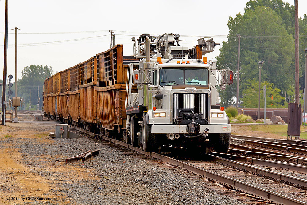
Where's the Locomotive?
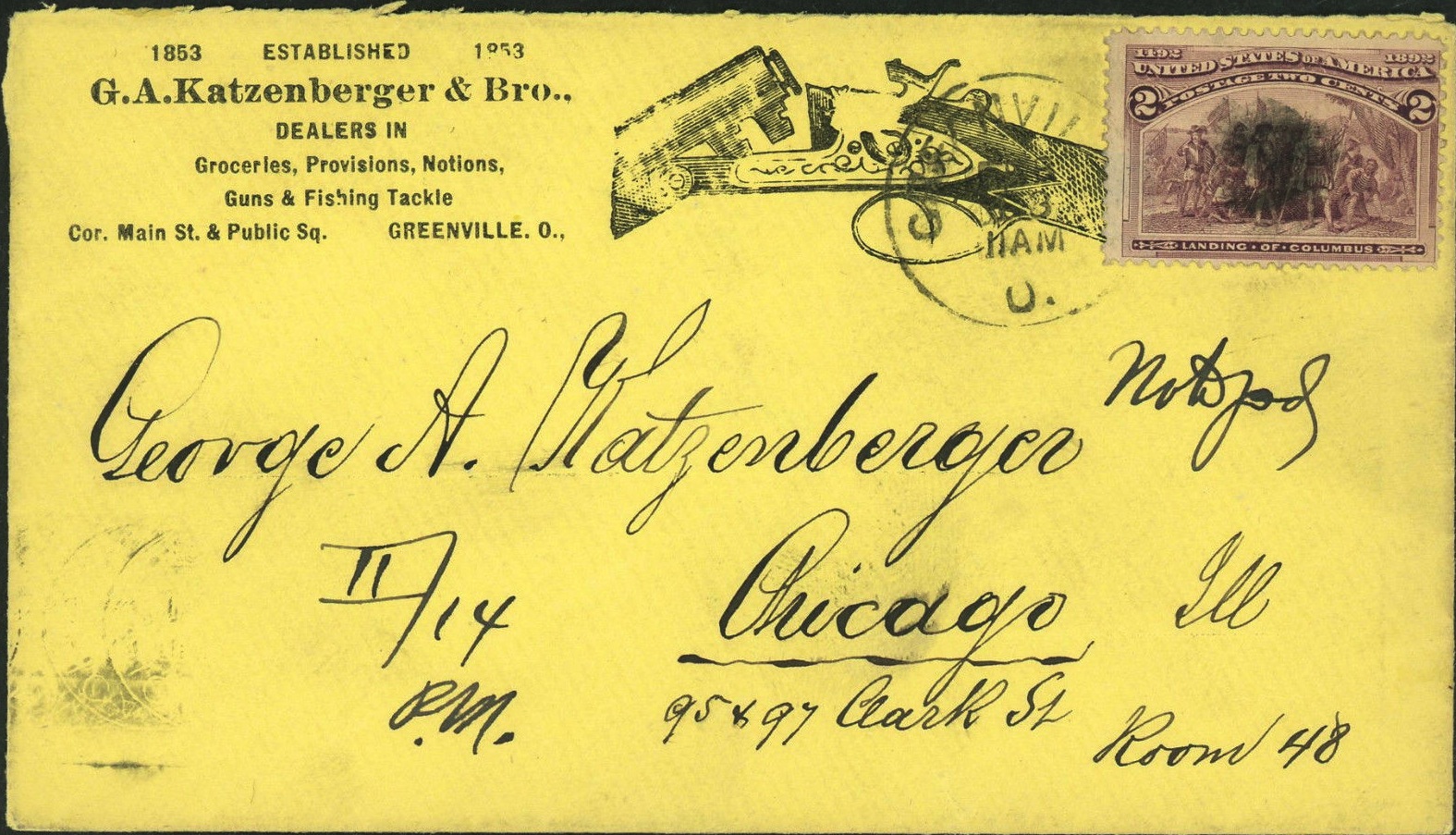
Envelope for Letter to George A. Katzenberger from Greenville to Chicago: 1893
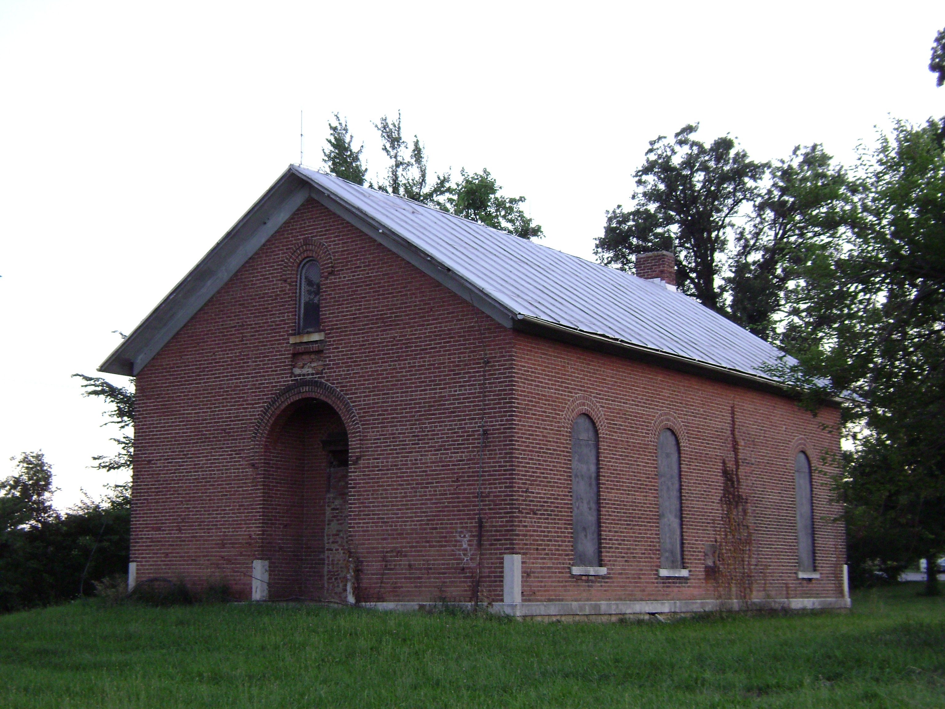
Wakefield, Ohio- Wakefield Schoolhouse
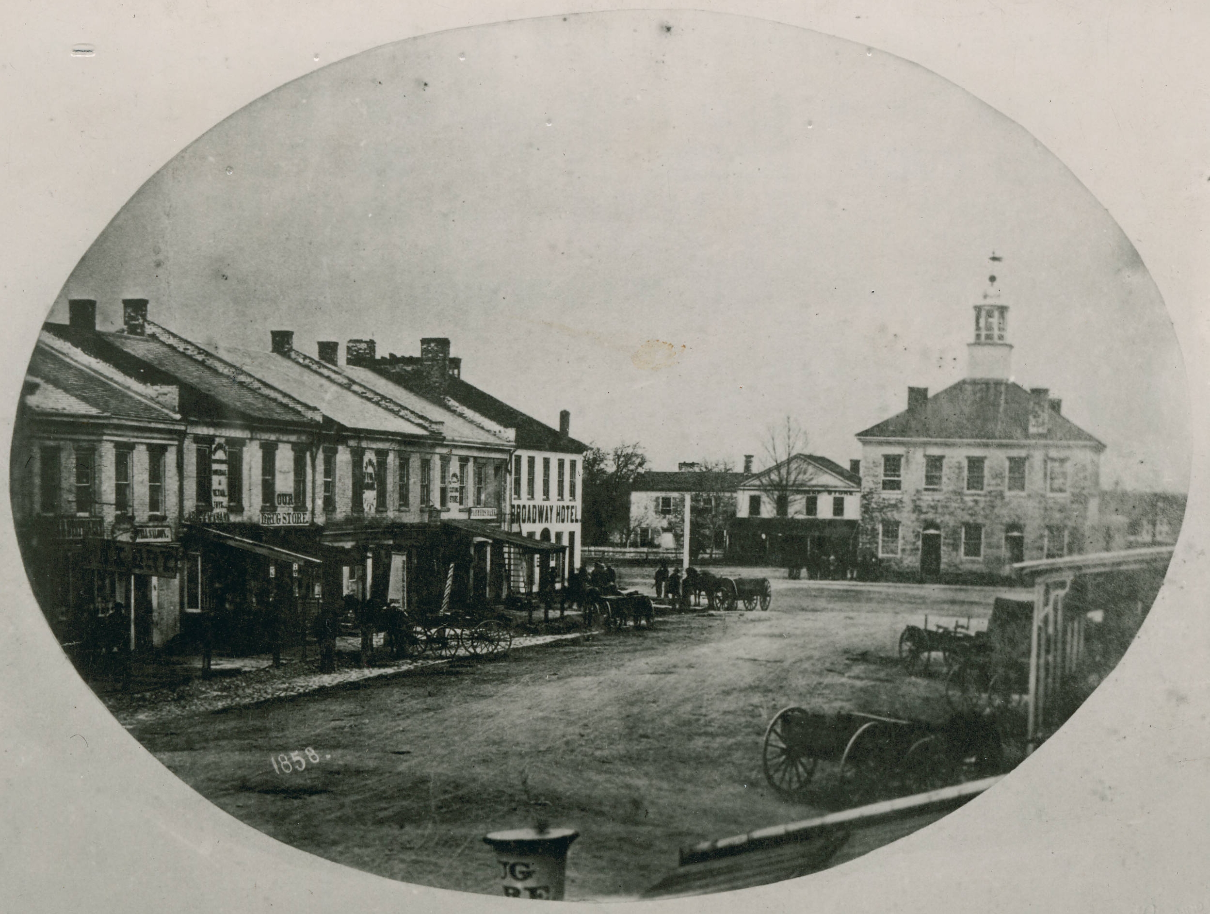
Greenville, Ohio
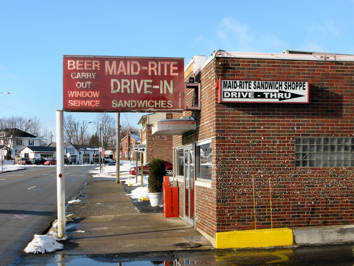
Maid-Rite Streetside

Maid Rite - Greenville, OH - Gum Wall

View in Greenville

tractor after plowing

Darke County Sunset 3

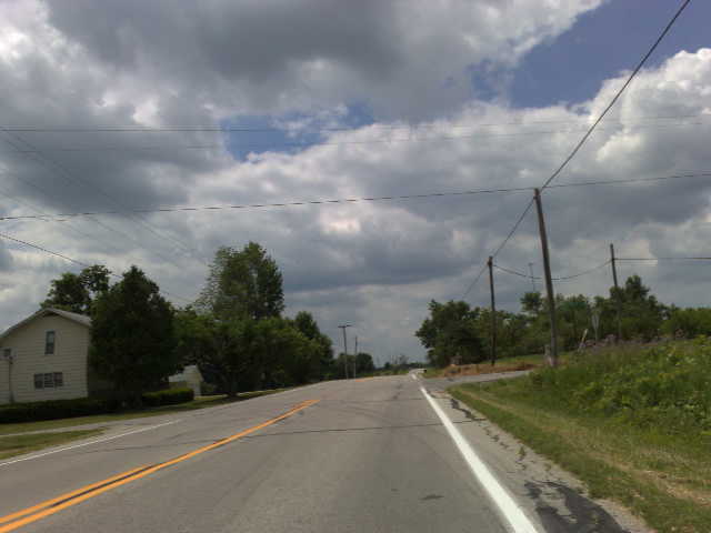
The open skies

Greenville Creek
Blue Steel took a picture!

A picture of trees and water.

A day filled with fun and swag

Greenville, Ohio

2012-09-01- 028

2012-09-01- 015
Topographic Map of Jackson Township, OH, USA
Find elevation by address:

Places in Jackson Township, OH, USA:
Places near Jackson Township, OH, USA:
Township Highway T-1092
Union City
Union City
9351 Ohio-indiana State Line Rd
Fisher-Dangler Rd, Greenville, OH, USA
8113 Kniseley Rd
Washington Township
Brown Township
Wayne Township
Jackson Township
OH-, Greenville, OH, USA
Allen Township
9373 Oh-118
Darke County
N E, Union City, IN, USA
4489 Childrens Home-bradford Rd
E Greenville Pike, Union City, IN, USA
South Spooky Hollow Road
Madison Township
Greenville Township
Recent Searches:
- Elevation of Unnamed Road, Respublika Severnaya Osetiya — Alaniya, Russia
- Elevation of Verkhny Fiagdon, North Ossetia–Alania Republic, Russia
- Elevation of F. Viola Hiway, San Rafael, Bulacan, Philippines
- Elevation of Herbage Dr, Gulfport, MS, USA
- Elevation of Lilac Cir, Haldimand, ON N3W 2G9, Canada
- Elevation of Harrod Branch Road, Harrod Branch Rd, Kentucky, USA
- Elevation of Wyndham Grand Barbados Sam Lords Castle All Inclusive Resort, End of Belair Road, Long Bay, Bridgetown Barbados
- Elevation of Iga Trl, Maggie Valley, NC, USA
- Elevation of N Co Rd 31D, Loveland, CO, USA
- Elevation of Lindever Ln, Palmetto, FL, USA