Elevation of Jackson Township, IN, USA
Location: United States > Indiana > Fountain County >
Longitude: -87.162234
Latitude: 40.0081785
Elevation: 222m / 728feet
Barometric Pressure: 99KPa
Elevation Map:
Satellite Map:
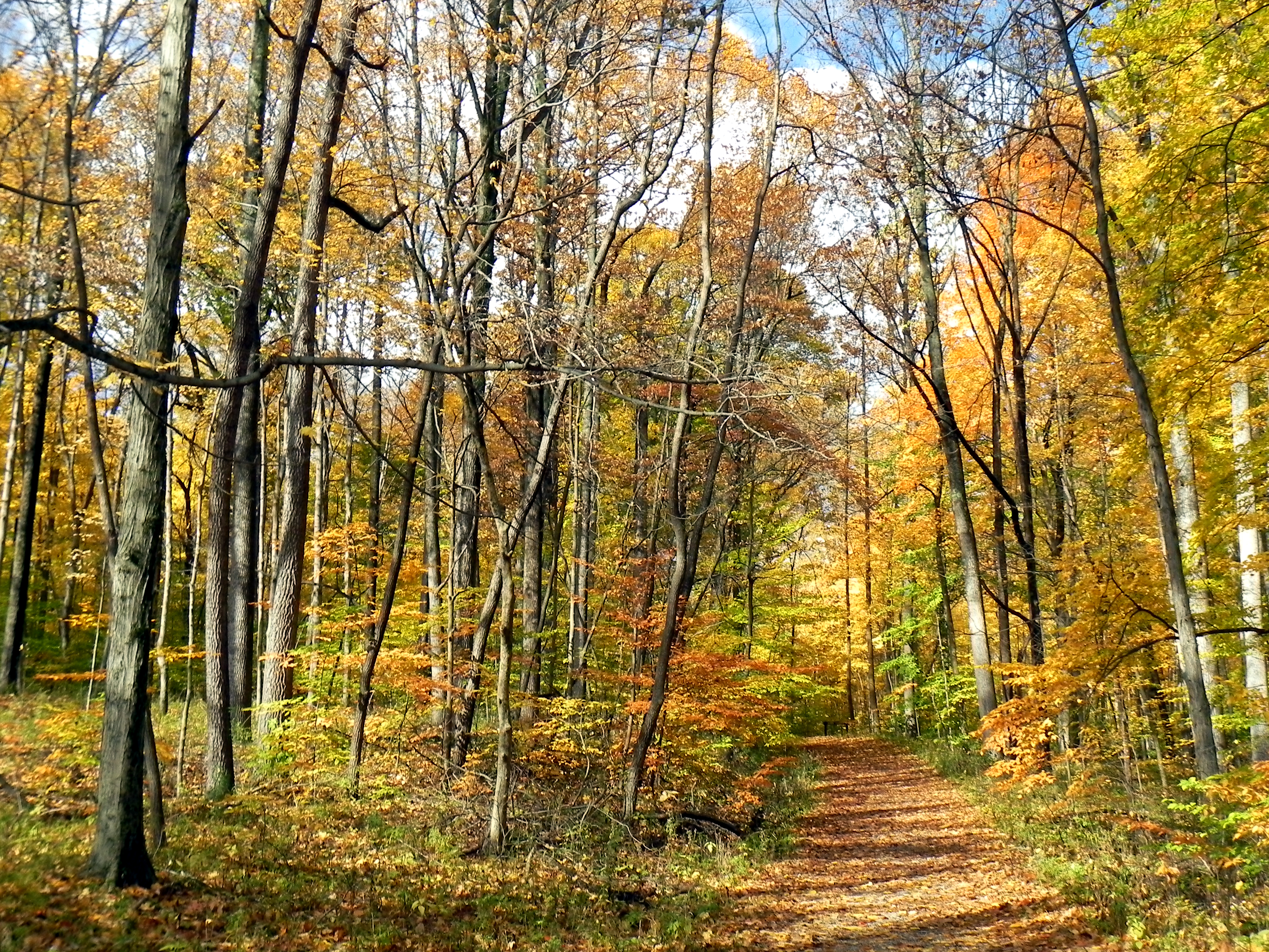
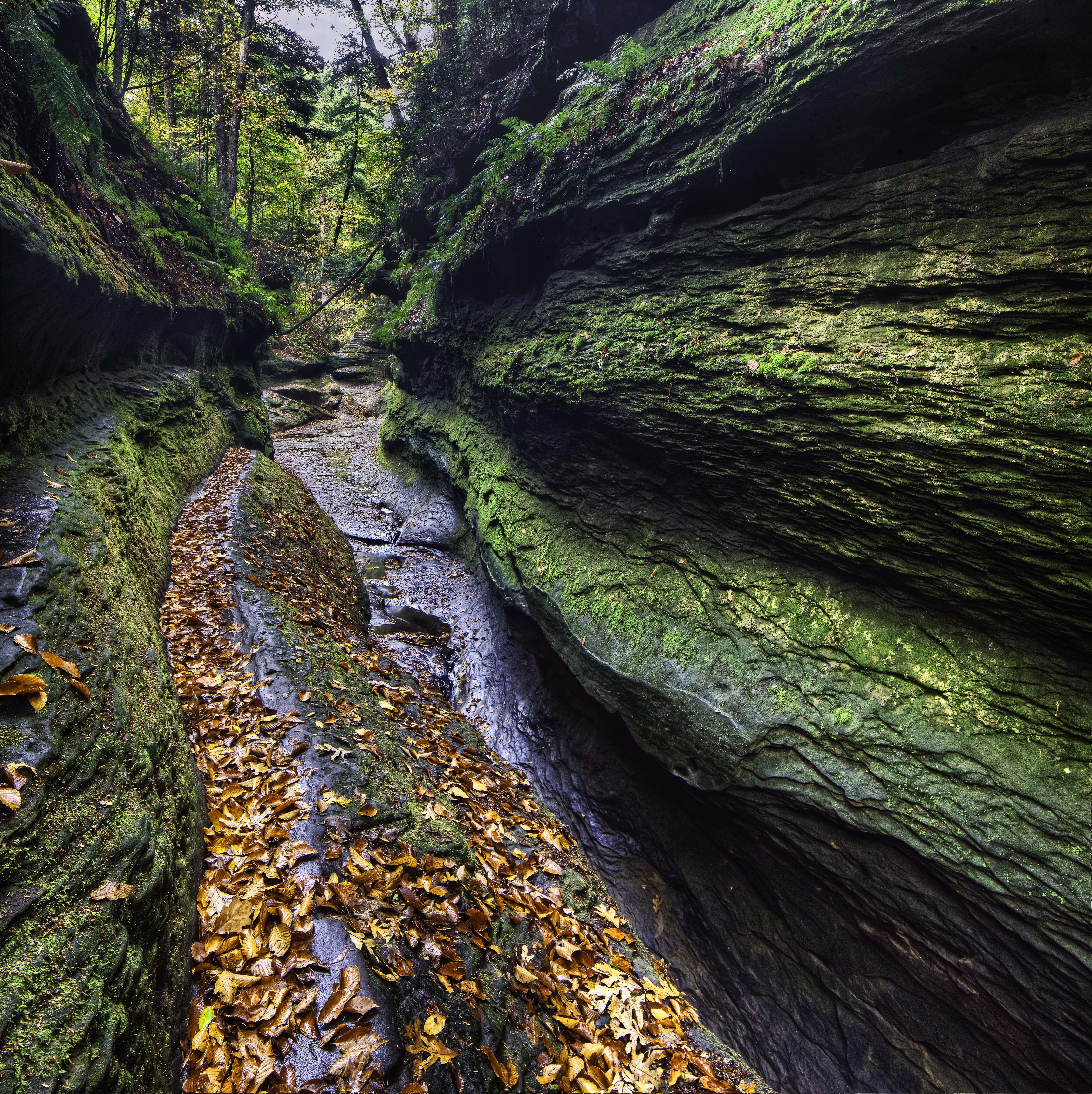
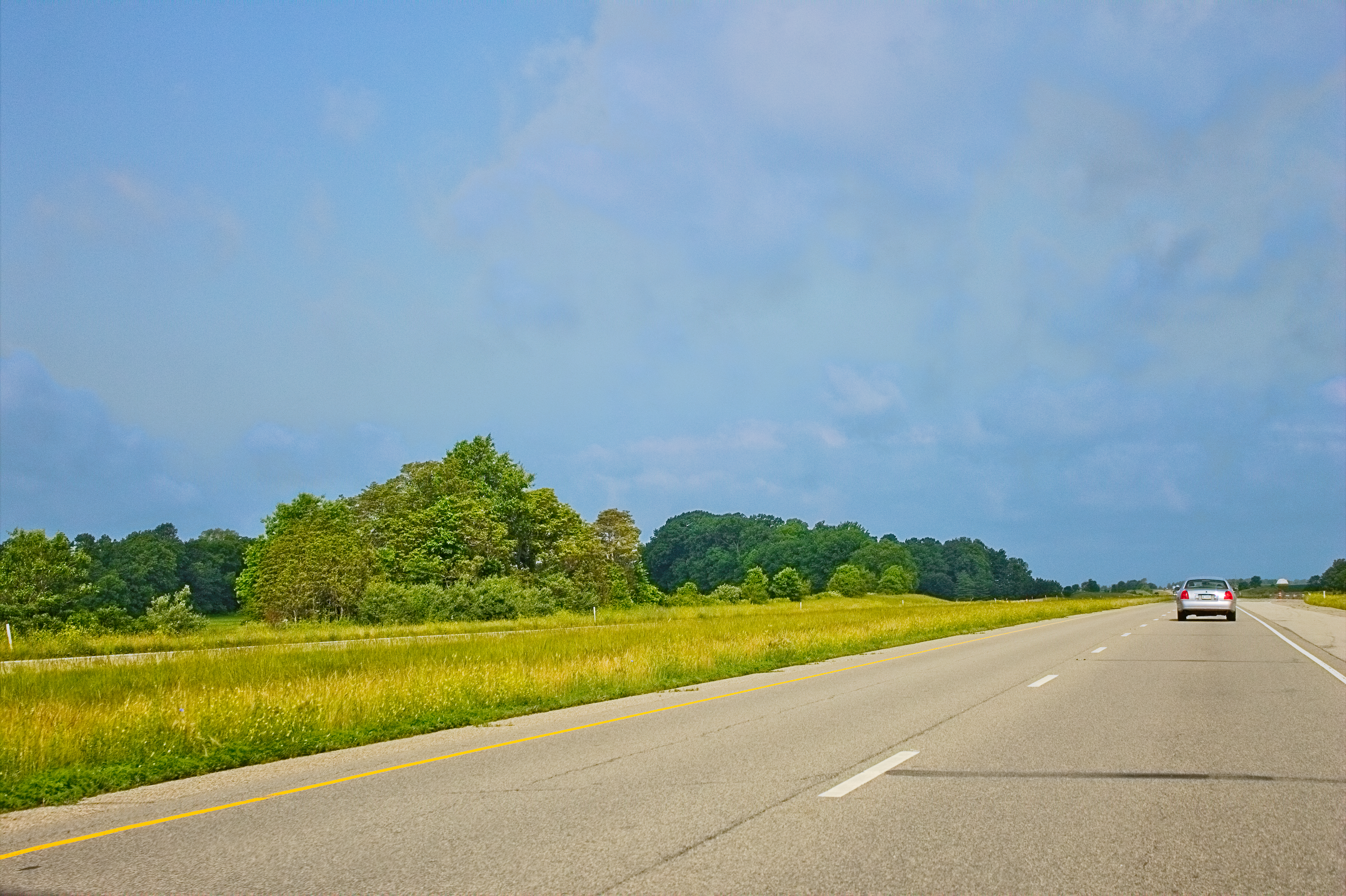
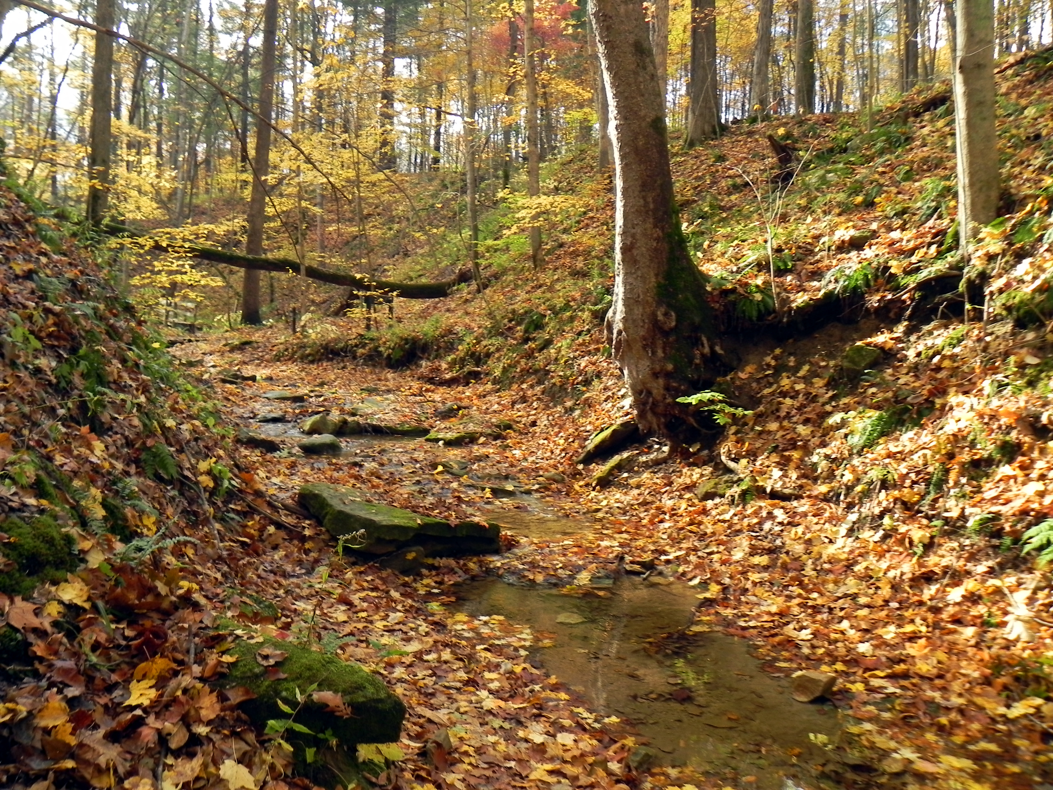
Related Photos:
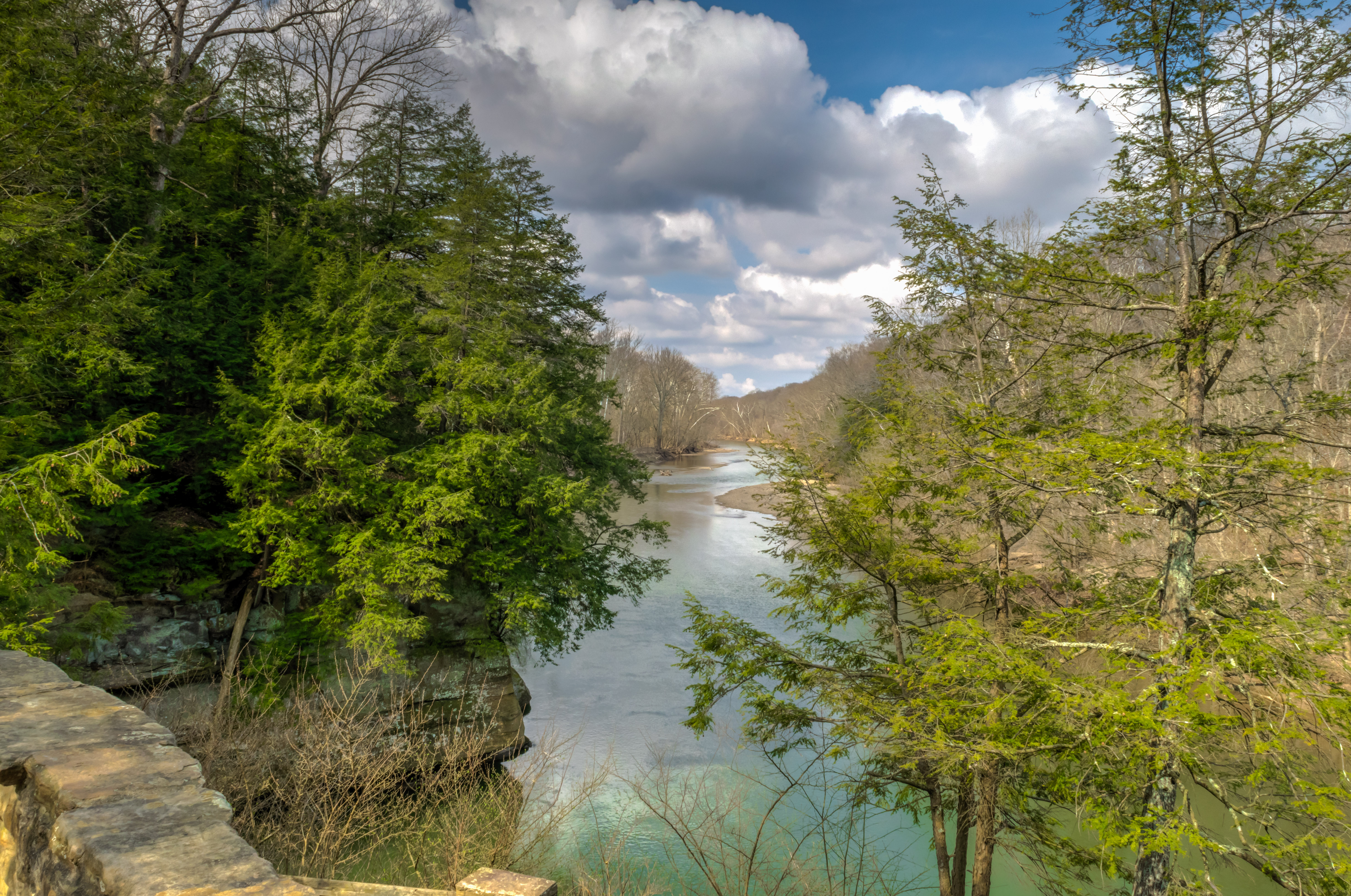
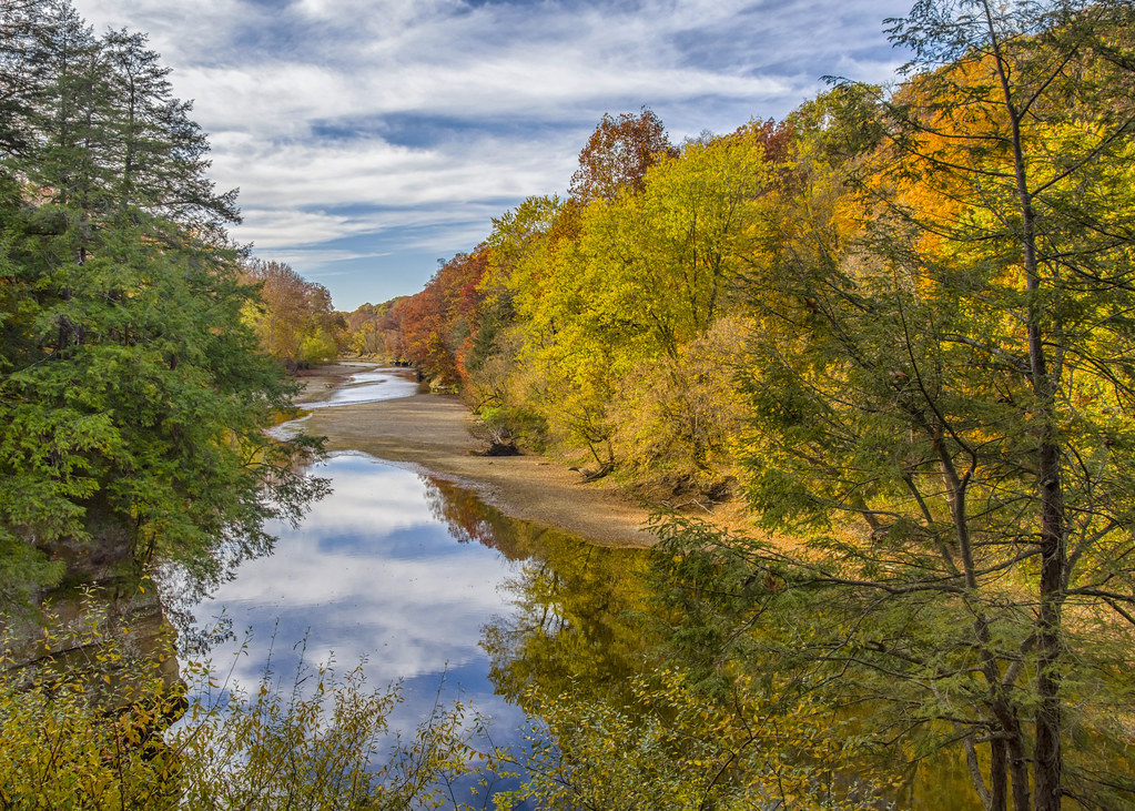
Sugar Creek Sighting

Reflected Colors
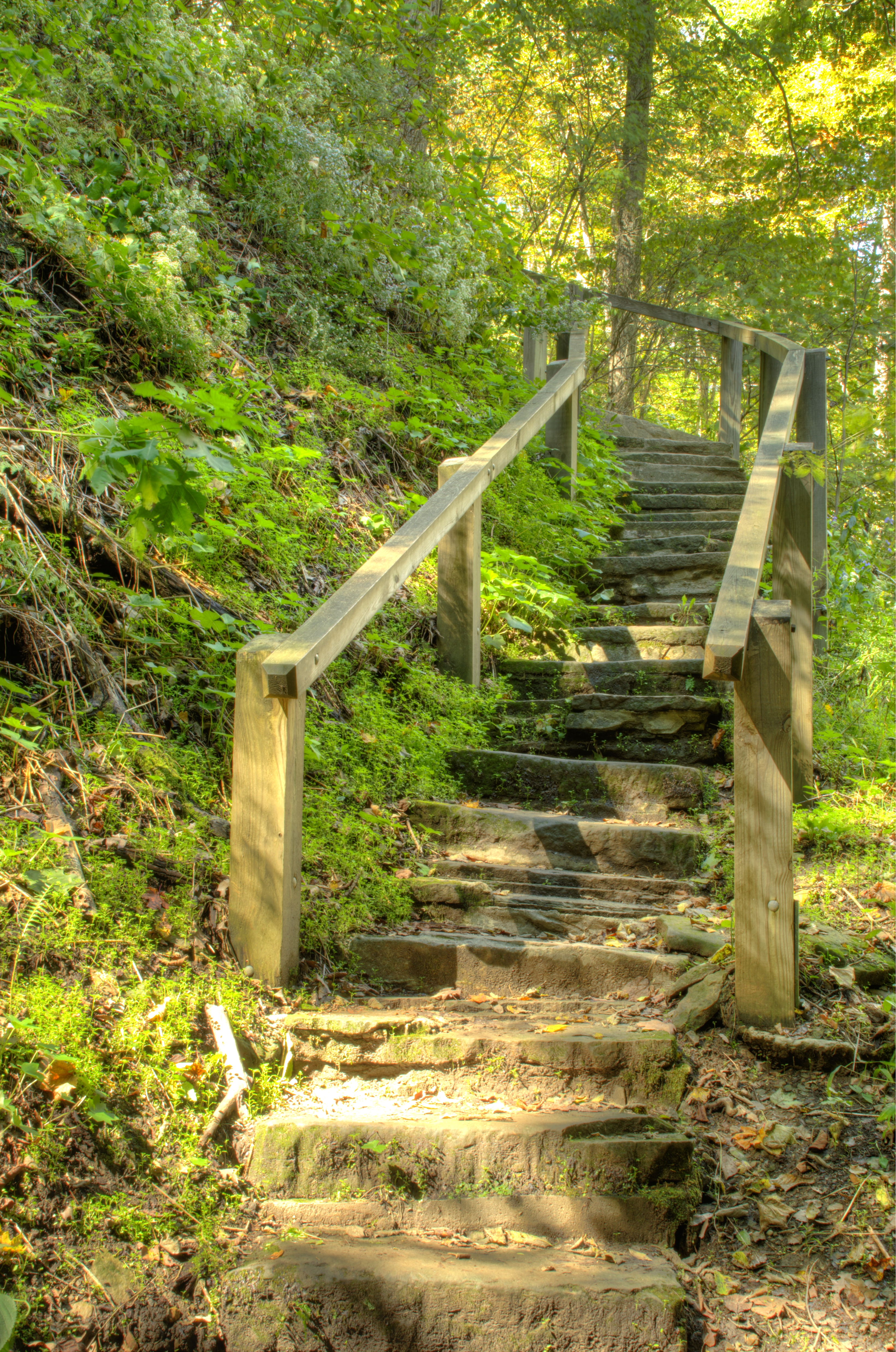
Turkey Run Trail Steps_DSC7088_89_90_tonemapped
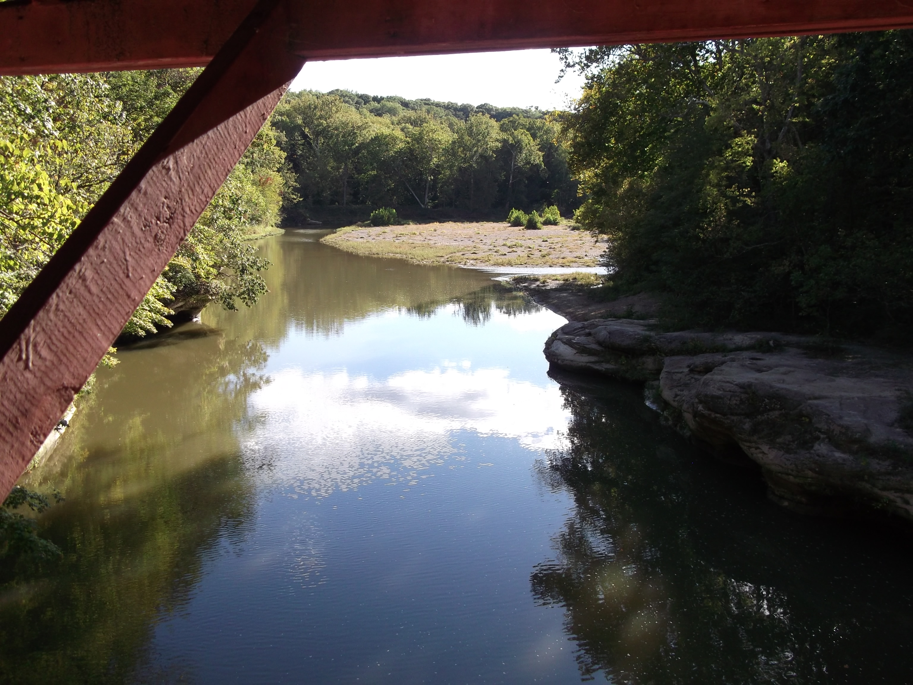
View from Narrows bridge

Turkey Run Trail 3_DSC7060_1_2_tonemapped
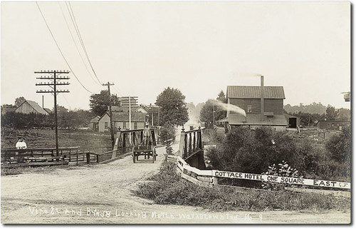
Vine Street Bridge looking north, Waynetown, Indiana

Everybody needs beauty as well as bread, places to play in and pray in, where nature may heal and give strength to body and soul...

Turkey Run - Indiana
Punch Bowl 0873_4_5_6_7_Crop

0093 - Wedge Rock (Side View) - Turkey Run State Park
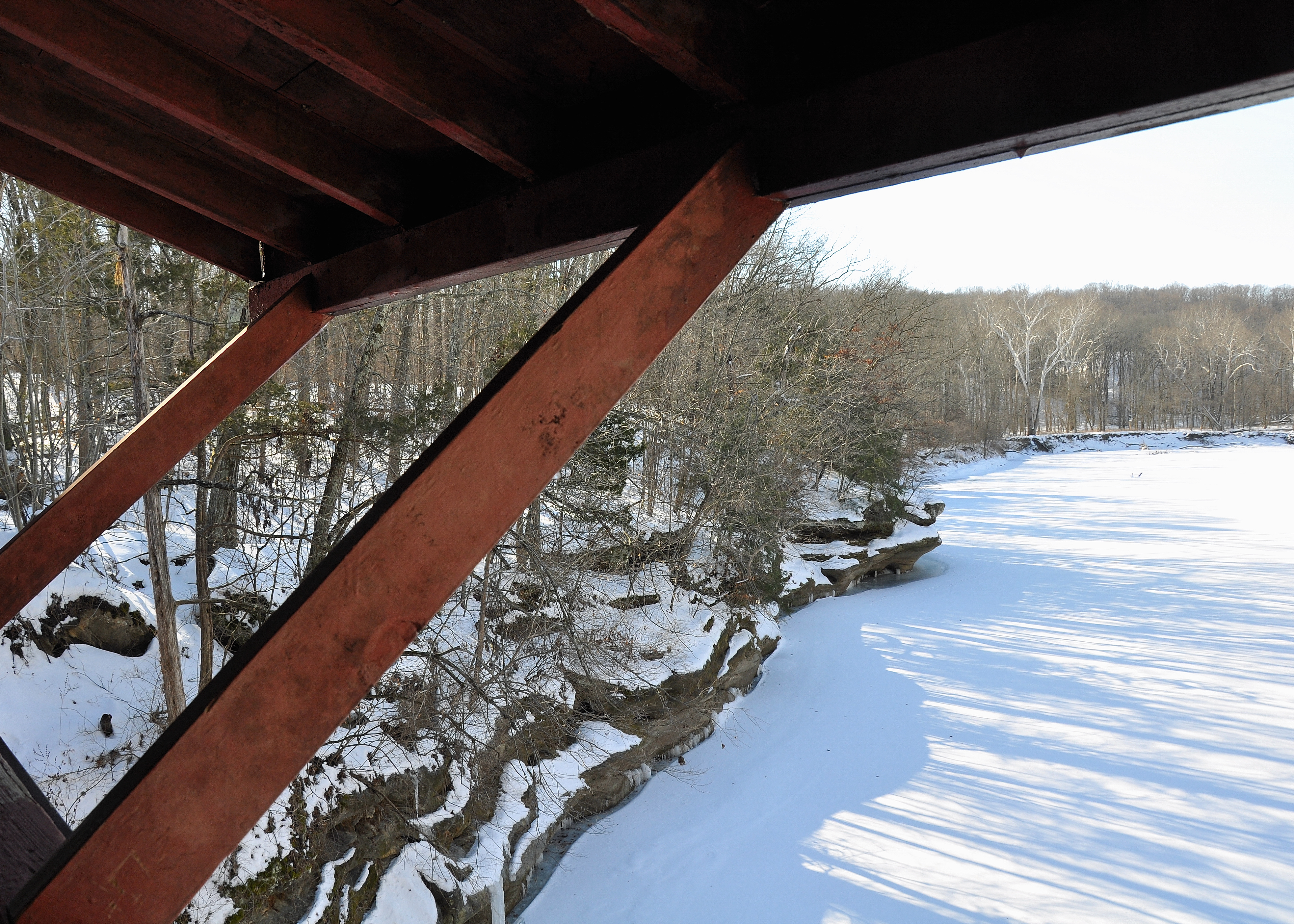
View From Narrows Covered Bridge
Side View

Turkey Run Trail 5 Steps_DSC7092_3_4_tonemapped

General view of the show

Side view of suspension bridge
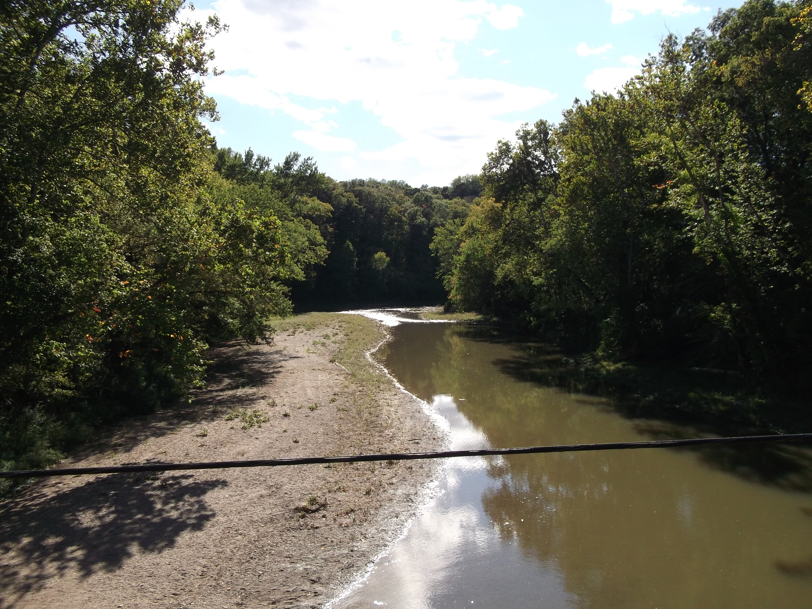
View from Cox Ford bridge

View from Cox Ford bridge

1882 covered bridge, Turkey Run
Fall at Turkey Run State Park

Turkey Run
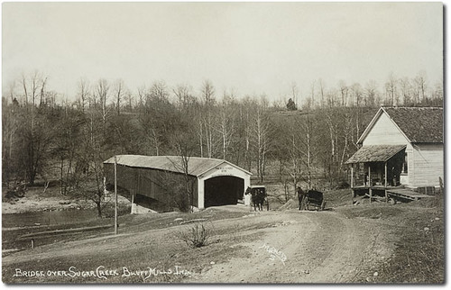
Bridge over Sugar Creek and store, Bluff Mills, Indiana
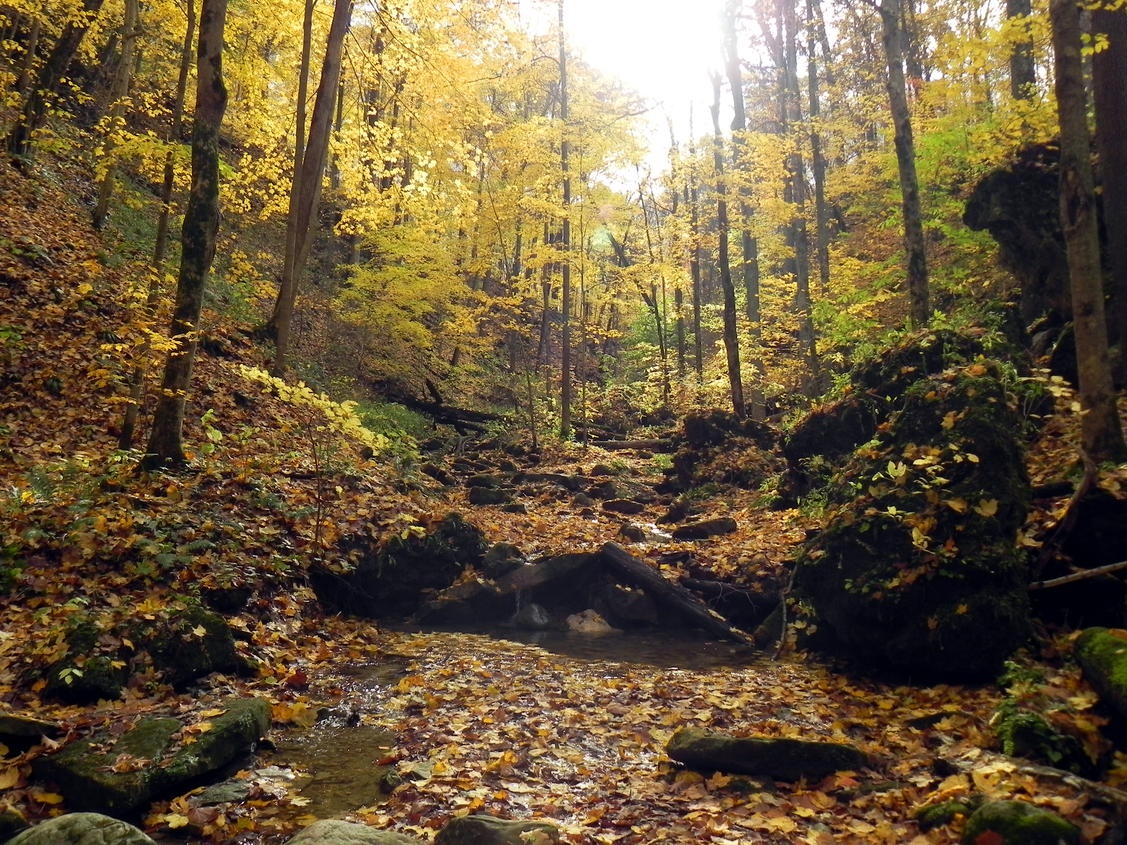
Fall, In The Fall

And It Was All Yellow
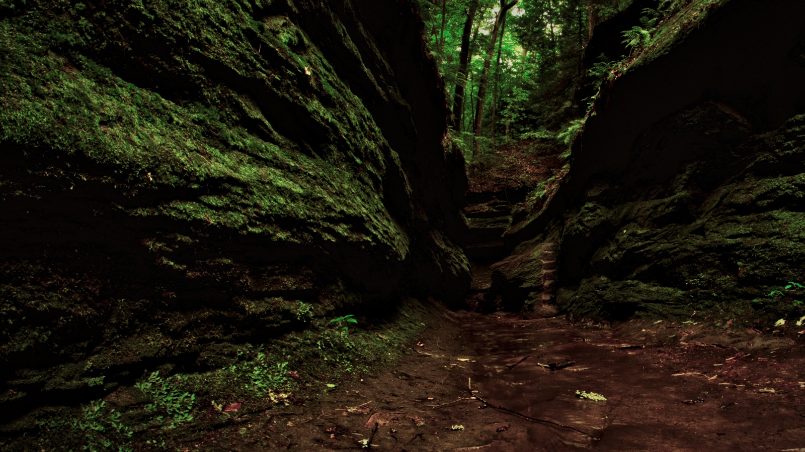
Shawnee Canyon

DSC_0713f (2)
Leaves That Are Green Turn to Brown
Leading Lines
I am leaving you!

Narrows Bridge Parke County Indiana _HDR

Primeval Autumn
Into The Sun

2012-09-30-14h22m05s-IMG_1213

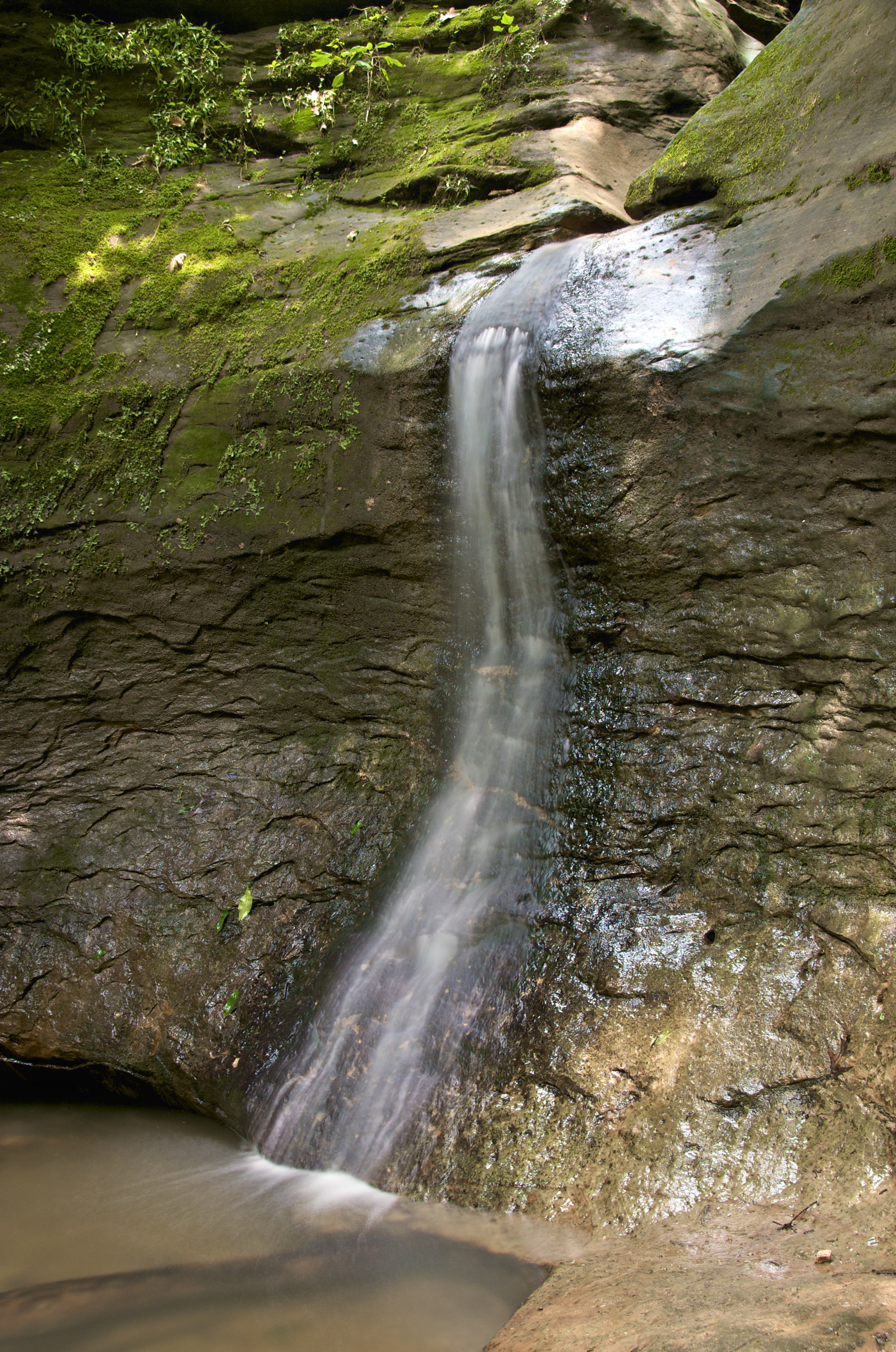
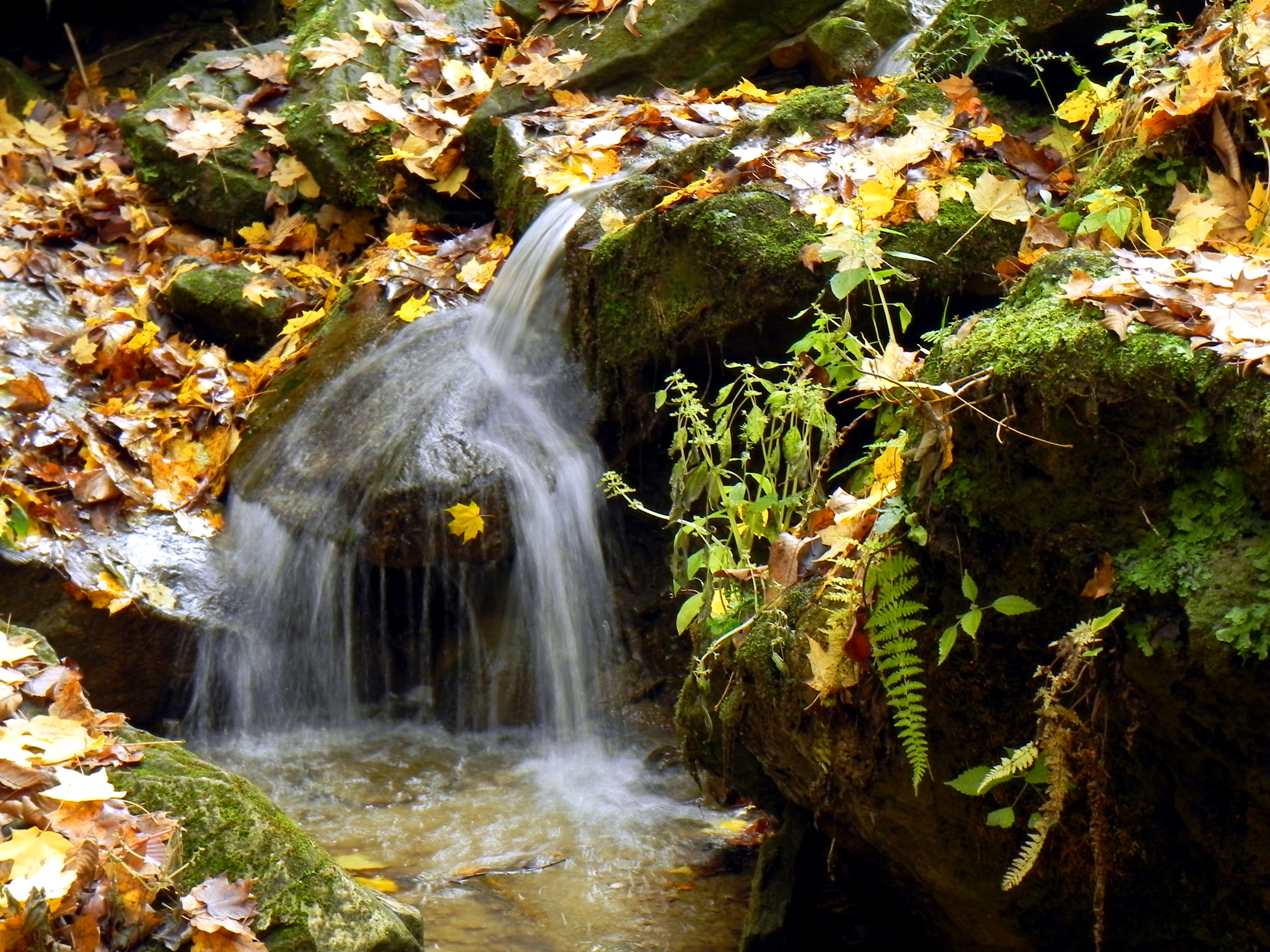
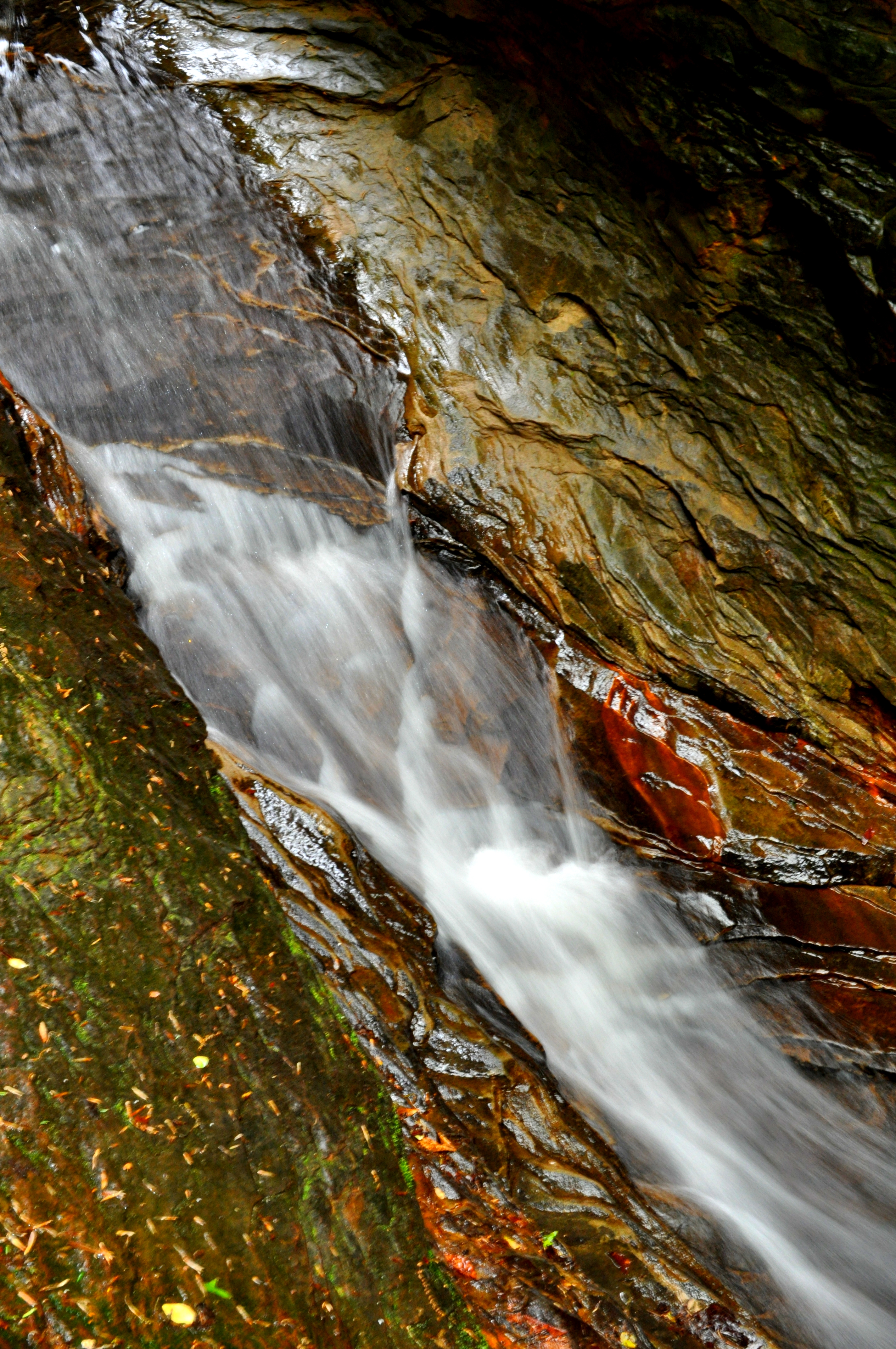
Requisite Waterfall

2011-10-05 1247

Wedge Rock
mcsp and turkey run 183

Rocky Hollow
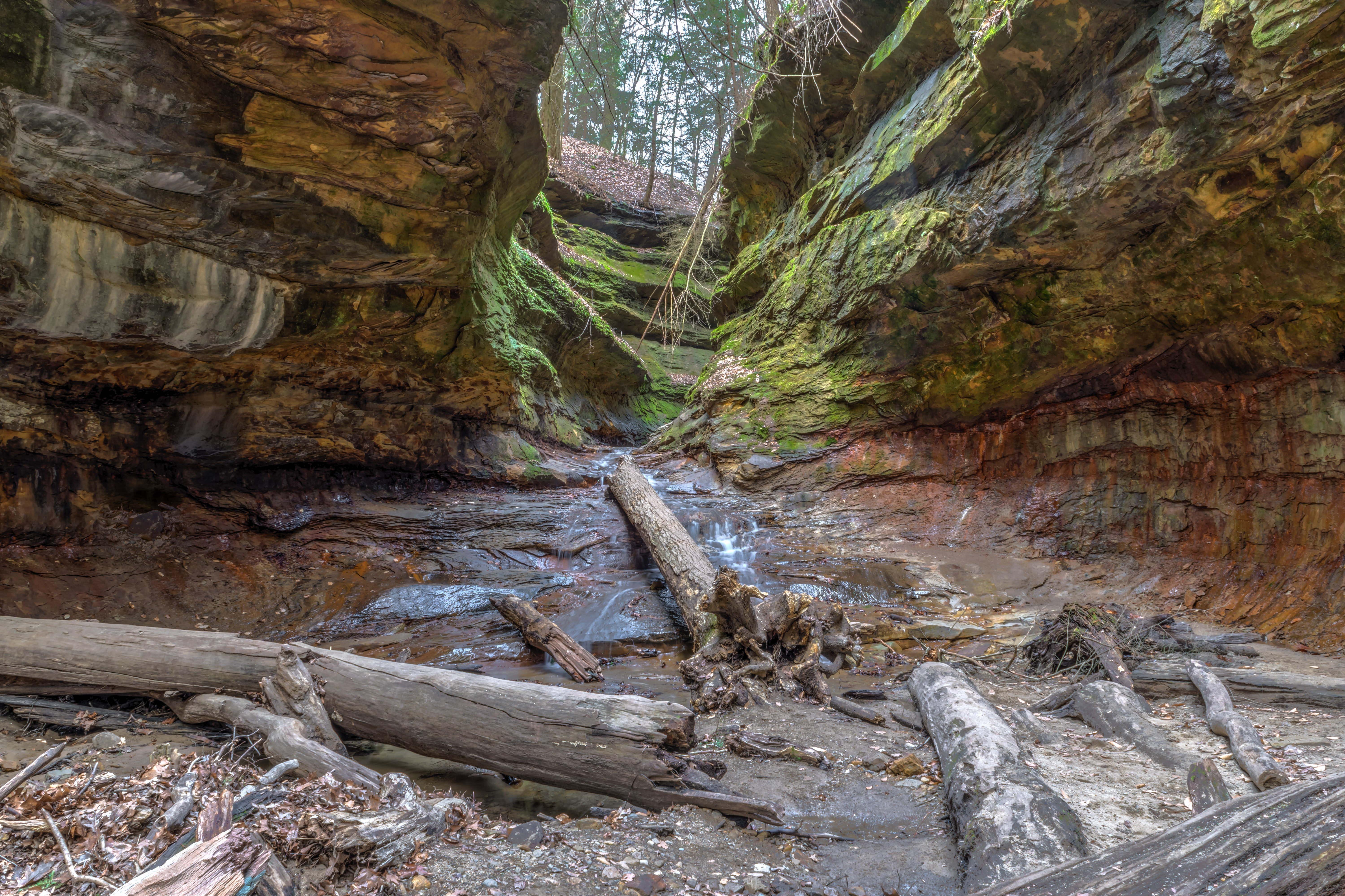
Rugged Ravine

mcsp and turkey run 184
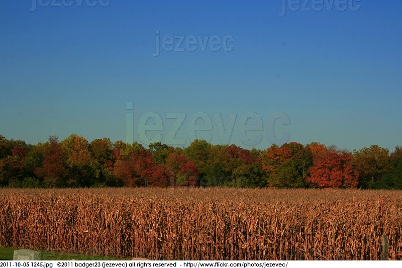
2011-10-05 1245
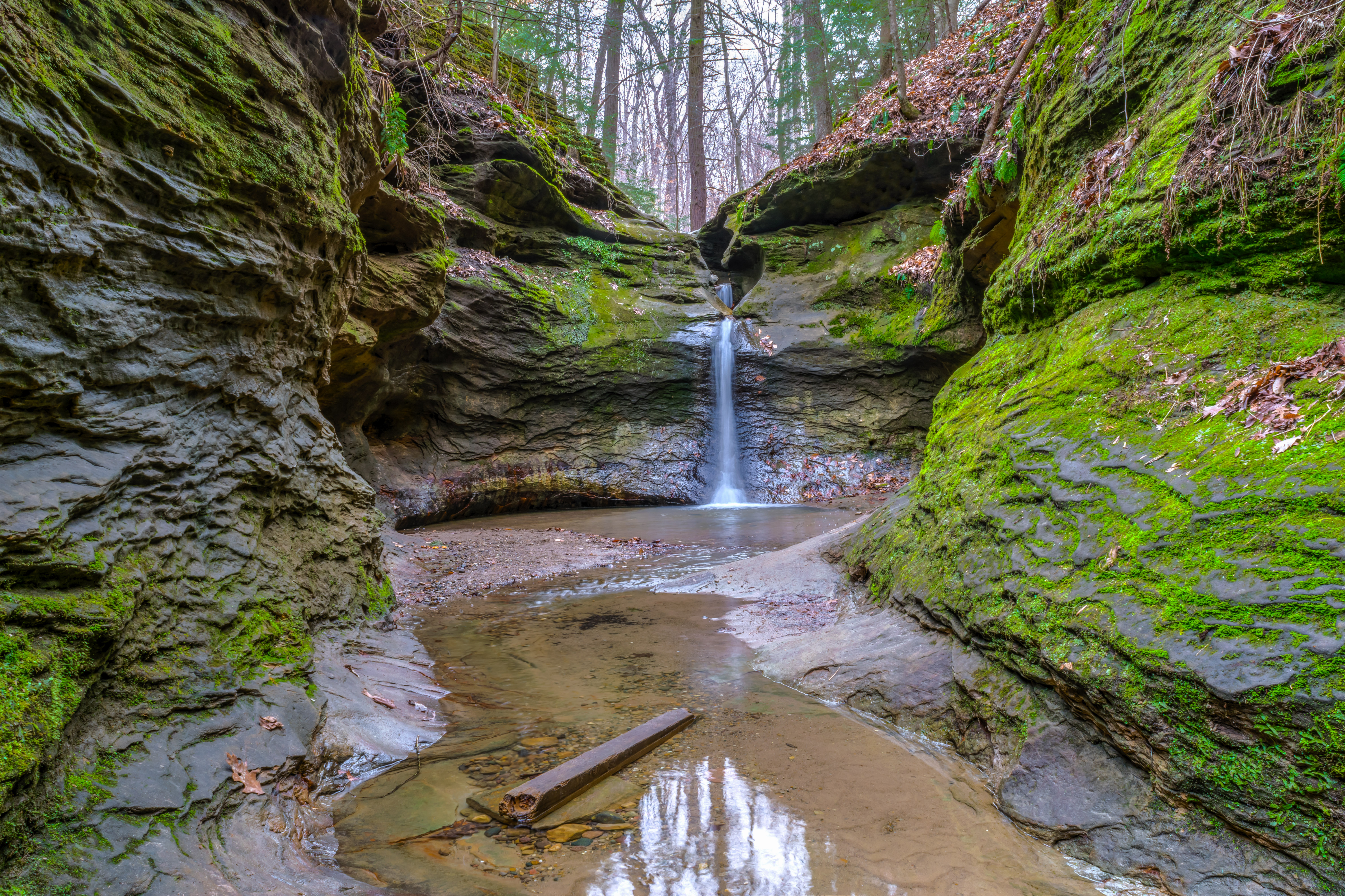
Peaking in at the Punch Bowl

"Secret" Hidaway
Topographic Map of Jackson Township, IN, USA
Find elevation by address:

Places in Jackson Township, IN, USA:
Places near Jackson Township, IN, USA:
Wallace
IN-, Hillsboro, IN, USA
Narrows Rd, Marshall, IN, USA
6328 High Bridge Rd
Howard Township
N Thompson St, Hillsboro, IN, USA
IN-, Waveland, IN, USA
Rice Ave, Mellott, IN, USA
Mellott
Richland Township
IN-, Rockville, IN, USA
1458 N 700 E
Waveland
Brown Township
Greene Township
Washington Township
Wingate
W Main St, Wingate, IN, USA
4519 W 300 N
Shawnee St, Attica, IN, USA
Recent Searches:
- Elevation of Corso Fratelli Cairoli, 35, Macerata MC, Italy
- Elevation of Tallevast Rd, Sarasota, FL, USA
- Elevation of 4th St E, Sonoma, CA, USA
- Elevation of Black Hollow Rd, Pennsdale, PA, USA
- Elevation of Oakland Ave, Williamsport, PA, USA
- Elevation of Pedrógão Grande, Portugal
- Elevation of Klee Dr, Martinsburg, WV, USA
- Elevation of Via Roma, Pieranica CR, Italy
- Elevation of Tavkvetili Mountain, Georgia
- Elevation of Hartfords Bluff Cir, Mt Pleasant, SC, USA