Elevation of Jackson Township, IN, USA
Location: United States > Indiana > Clay County >
Longitude: -87.082404
Latitude: 39.4706644
Elevation: 195m / 640feet
Barometric Pressure: 99KPa
Elevation Map:
Satellite Map:
Related Photos:

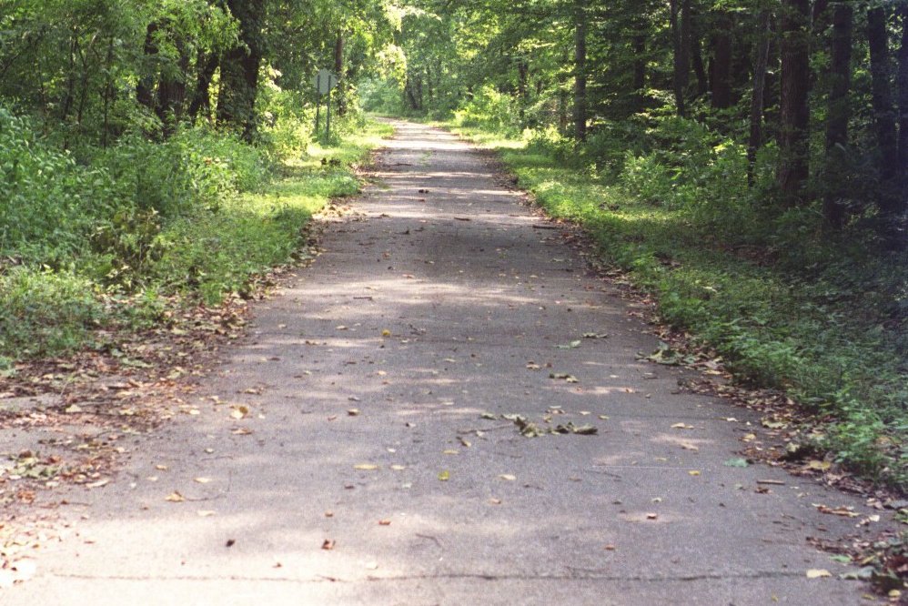
Low Clouds with Sunset

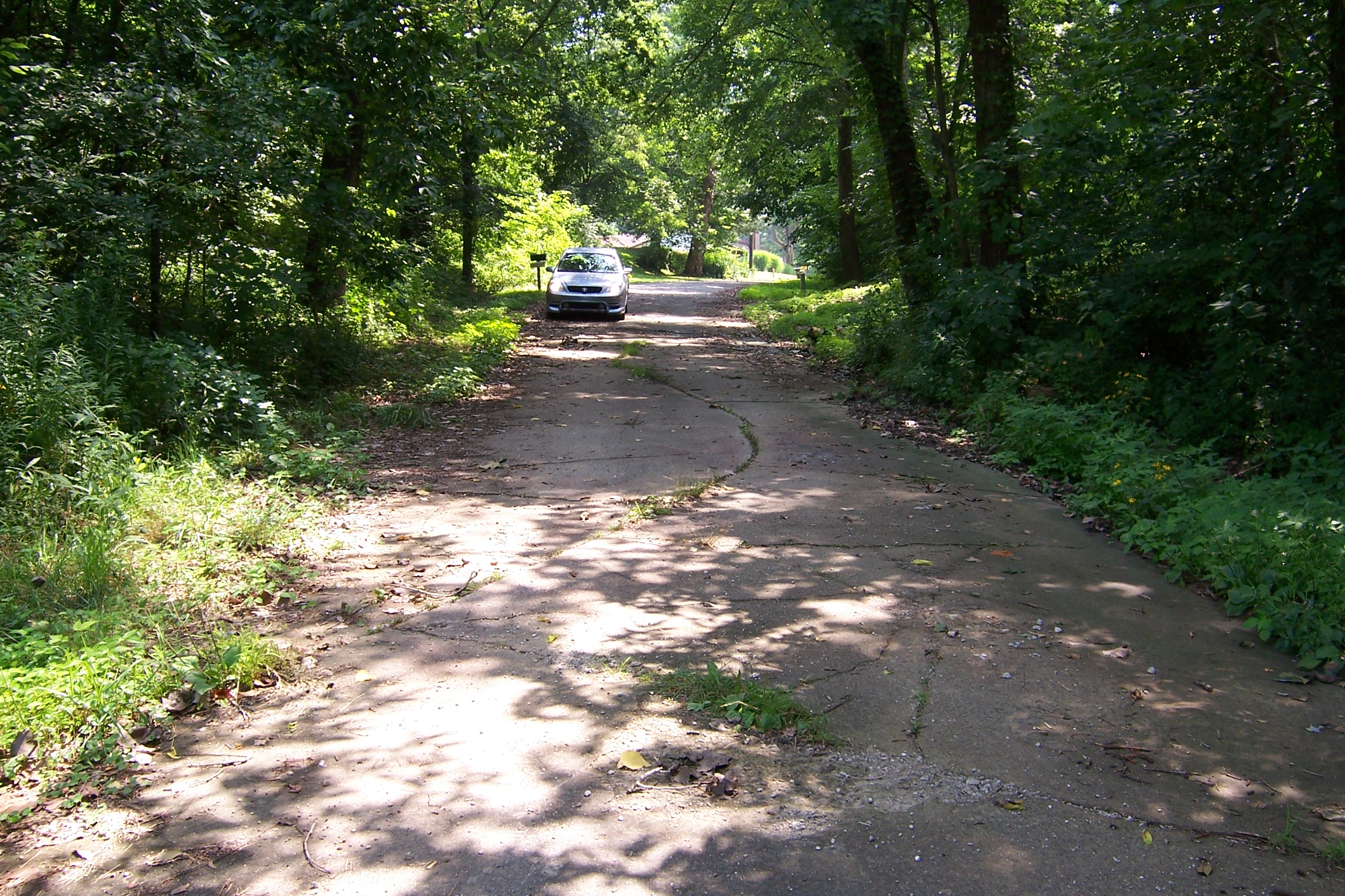
Summer Fun

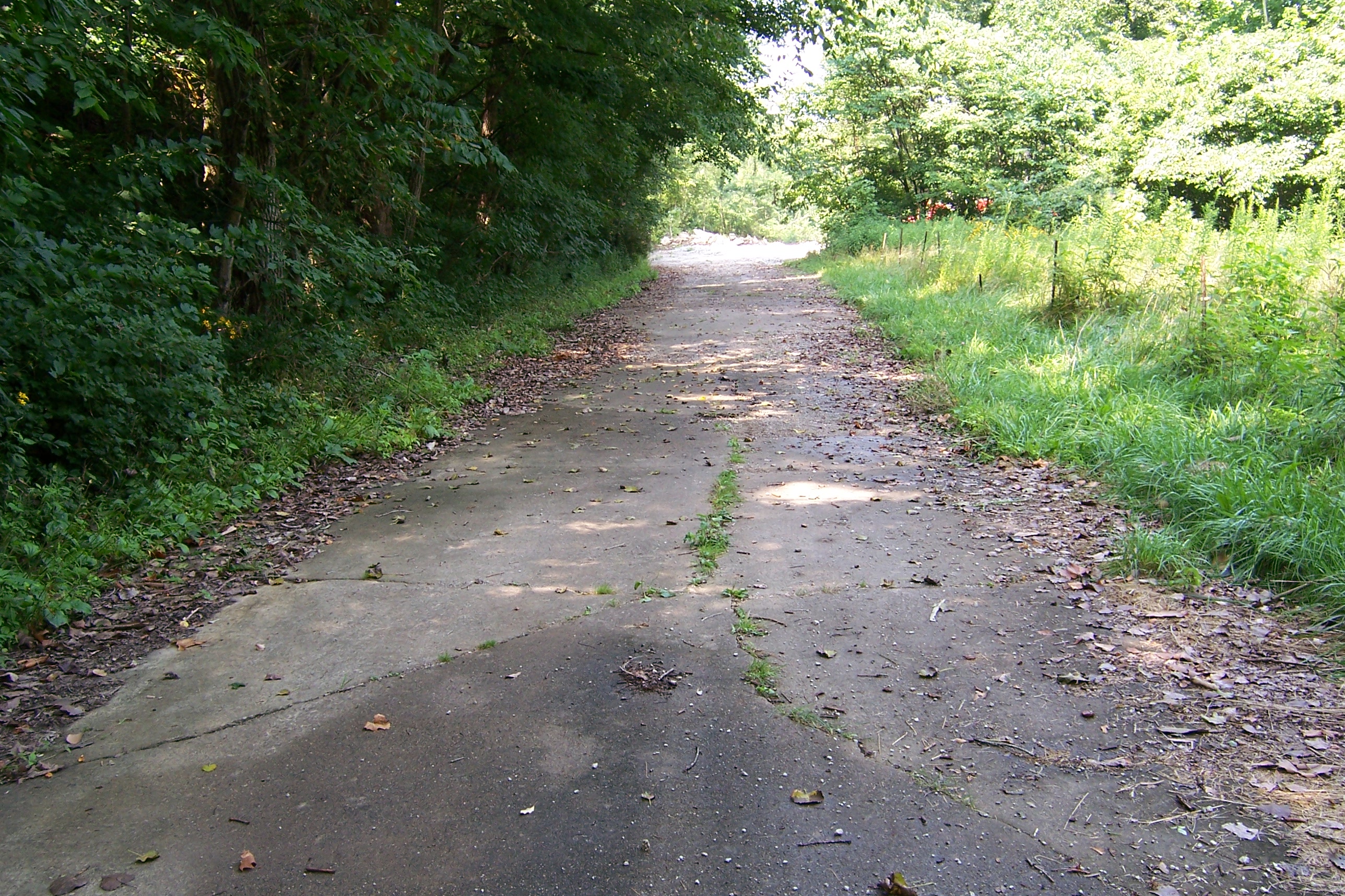
1984 Ford Ranger, front
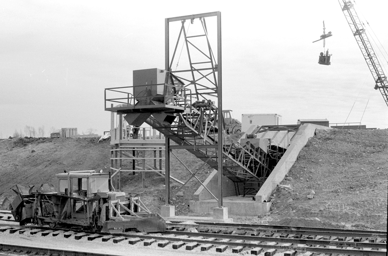
Rio Grande loadout

Cows. Fog. Barn.

2005 Mustang

04-10-2014 Structure Fire Assist

04-10-2014 Structure Fire Assist

Rays of Heaven

Store Fronts

Northern Harrier

Short-eared owl
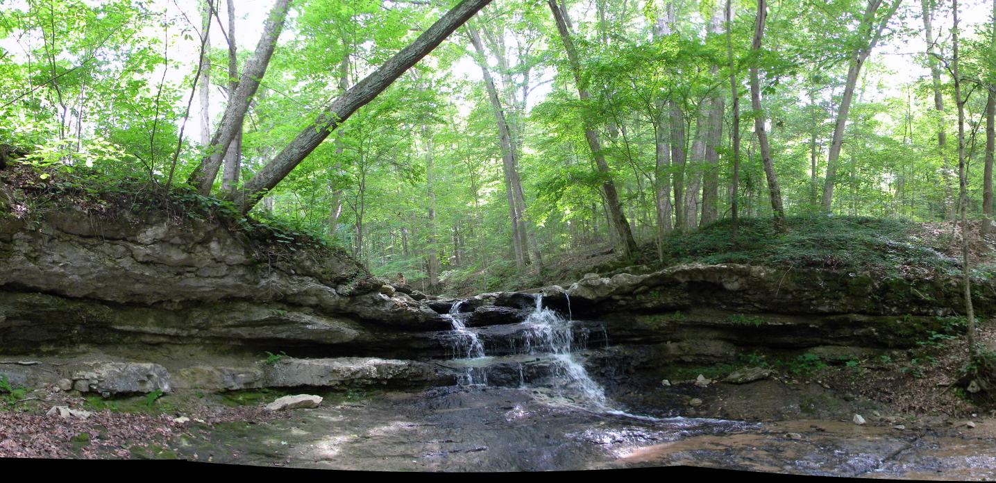
Cagles Waterfall

Cattails in the morning

Short-eared owl

Truck_072611_LR-78.jpg

Northern Harrier

RV_090711_LR-6.jpg

Indiana Sunrise 2

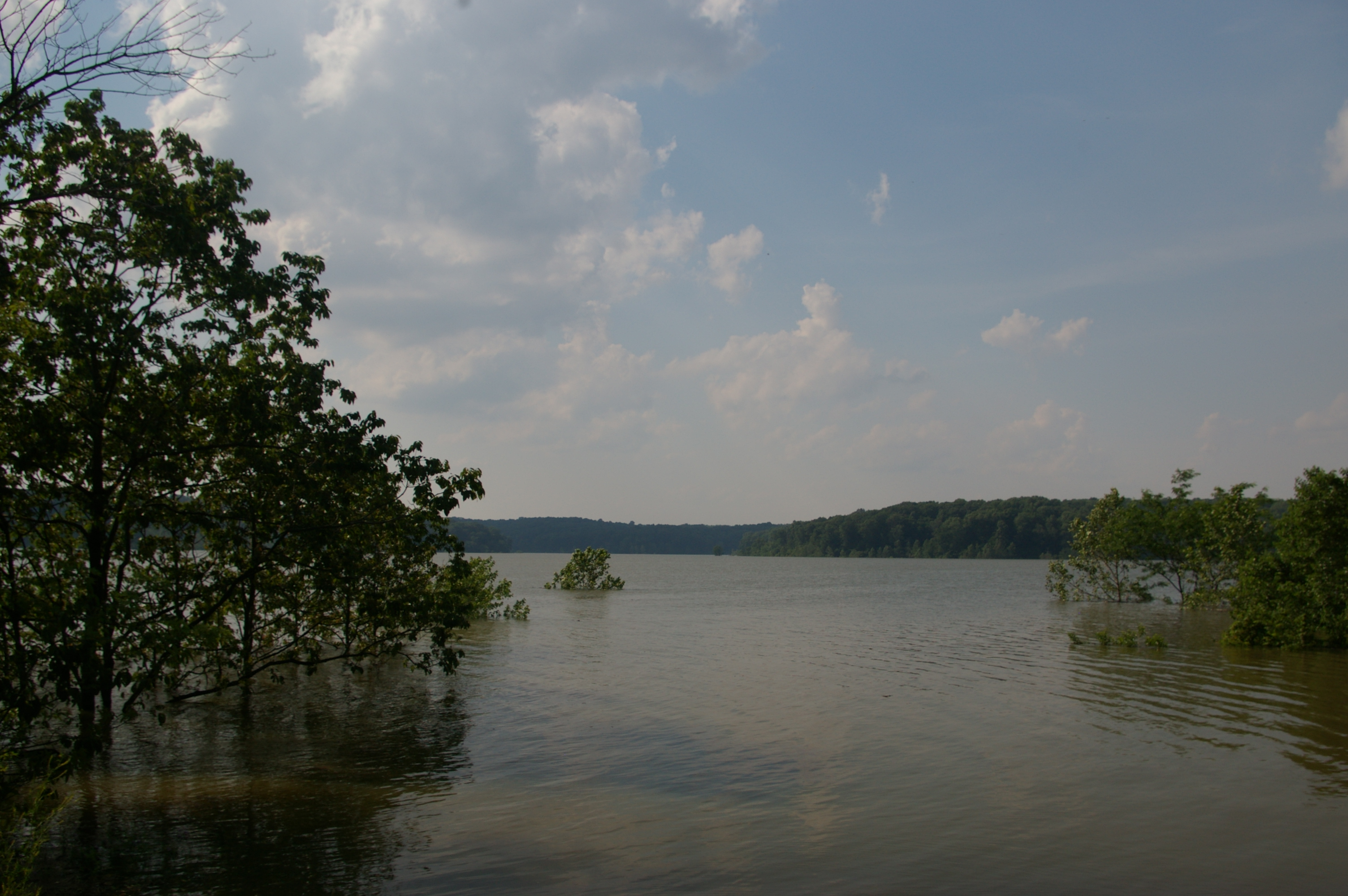
I-70 Flooding

The End of the Chinook Owls?
2008 Flood
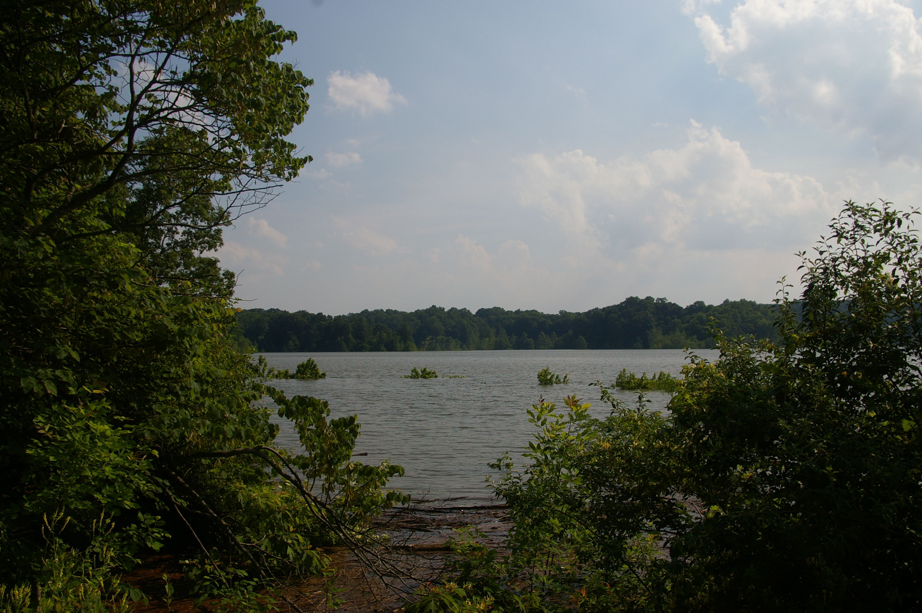
2008 Flood
Old US 40 in Putnam Co.

Dick Huffman Covered Bridge
Old US 40 alignment
Old US 40 alignment
Topographic Map of Jackson Township, IN, USA
Find elevation by address:

Places near Jackson Township, IN, USA:
E County Rd N, Brazil, IN, USA
IN-42, Brazil, IN, USA
N County Rd E, Brazil, IN, USA
N County Rd 25 W, Brazil, IN, USA
Center Point
1836 W County Rd 500 N
N County Rd E, Brazil, IN, USA
Brazil
N Murphy Rd, Brazil, IN, USA
N County Rd 25 E, Center Point, IN, USA
Brazil Township
N County Rd W, Brazil, IN, USA
Sugar Ridge Township
County Rd 10 N, Center Point, IN, USA
N Meridian Street Rd, Brazil, IN, USA
W Lower Bloomington Rd, Brazil, IN, USA
N Kennedys Crossing Rd, Brazil, IN, USA
IN-, Brazil, IN, USA
West St, Poland, IN, USA
Jackson Township
Recent Searches:
- Elevation of Dog Leg Dr, Minden, NV, USA
- Elevation of Dog Leg Dr, Minden, NV, USA
- Elevation of Kambingan Sa Pansol Atbp., Purok 7 Pansol, Candaba, Pampanga, Philippines
- Elevation of Pinewood Dr, New Bern, NC, USA
- Elevation of Mountain View, CA, USA
- Elevation of Foligno, Province of Perugia, Italy
- Elevation of Blauwestad, Netherlands
- Elevation of Bella Terra Blvd, Estero, FL, USA
- Elevation of Estates Loop, Priest River, ID, USA
- Elevation of Woodland Oak Pl, Thousand Oaks, CA, USA