Elevation of Jackson River, VA, USA
Location: United States > Virginia > Alleghany County >
Longitude: -79.896879
Latitude: 37.7767153
Elevation: 468m / 1535feet
Barometric Pressure: 96KPa
Elevation Map:
Satellite Map:
Related Photos:

Pedestrian View

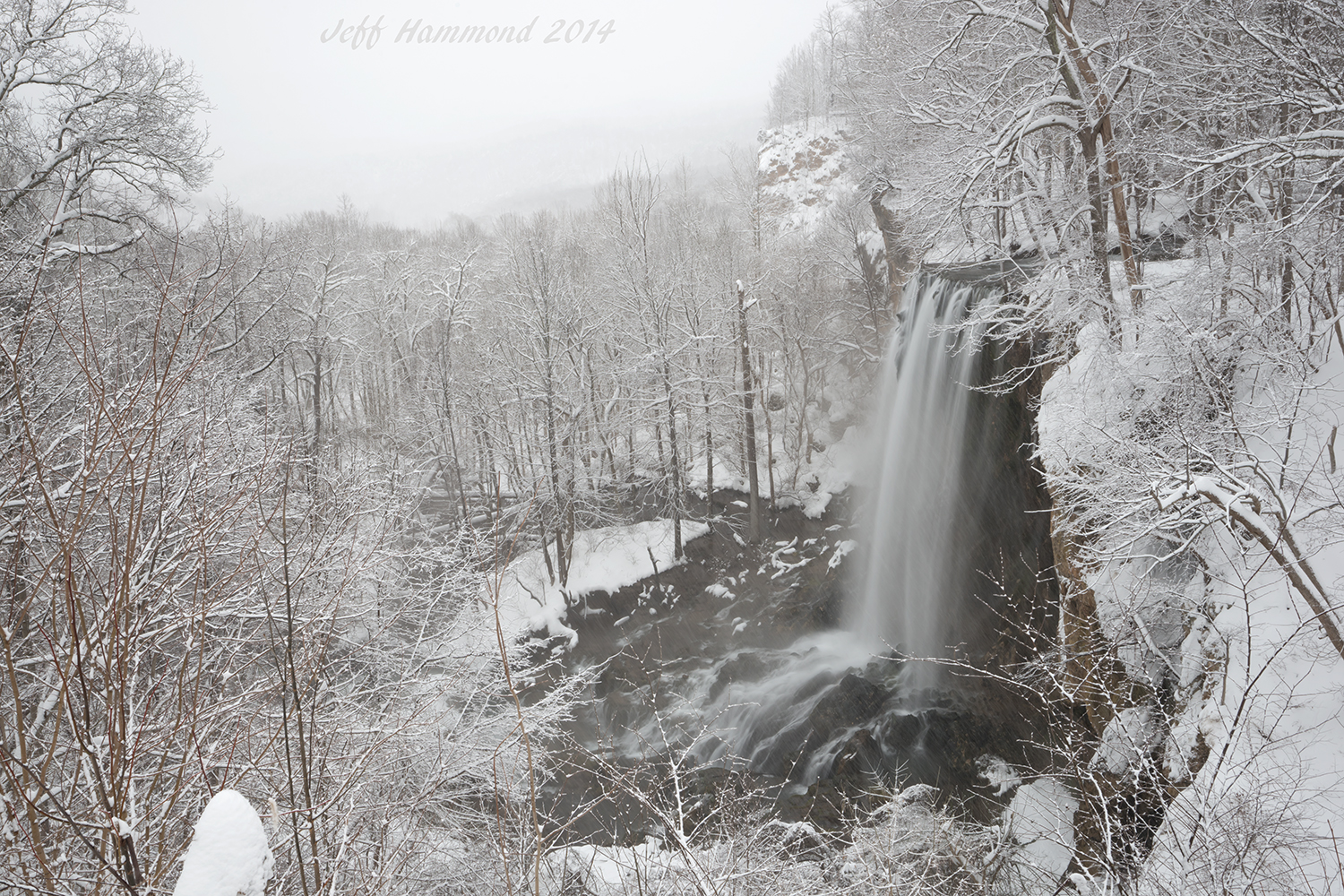
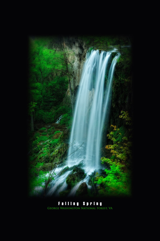
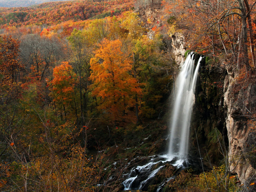
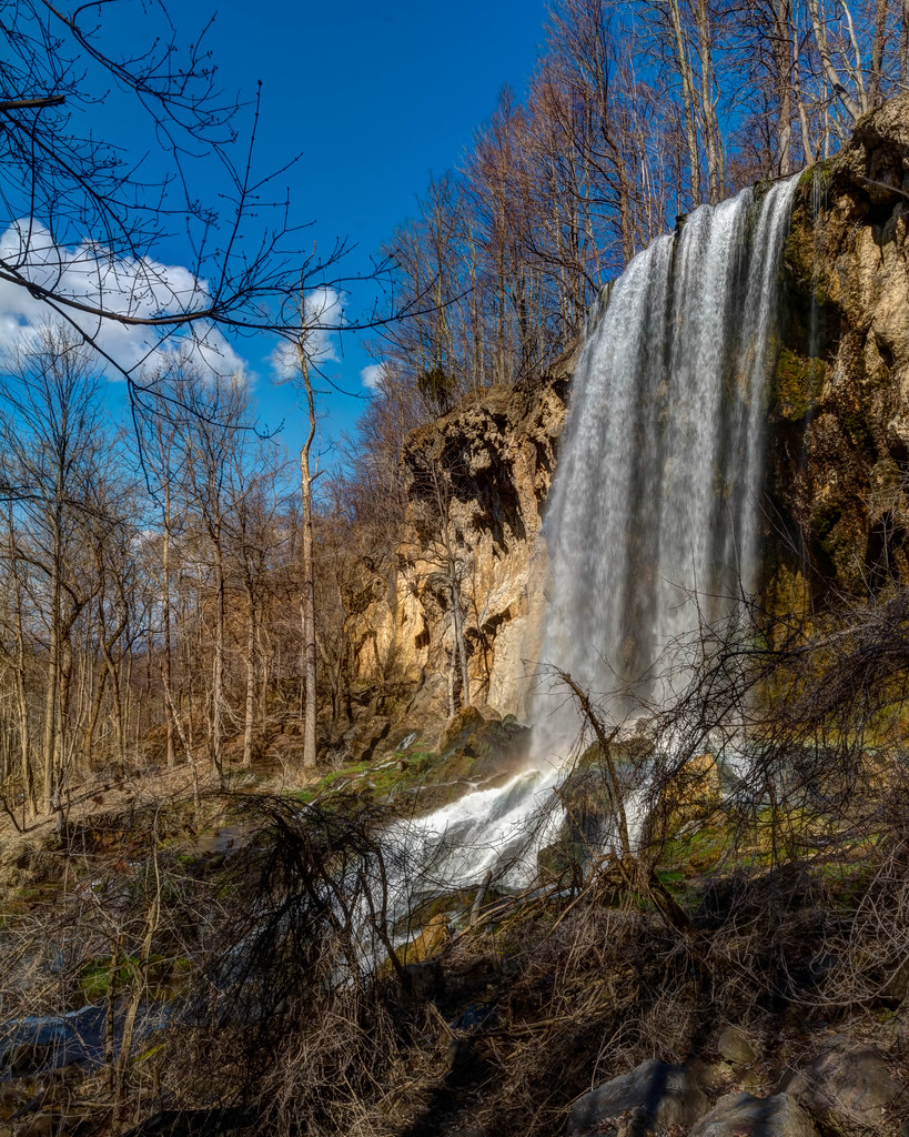
Falling Springs Falls
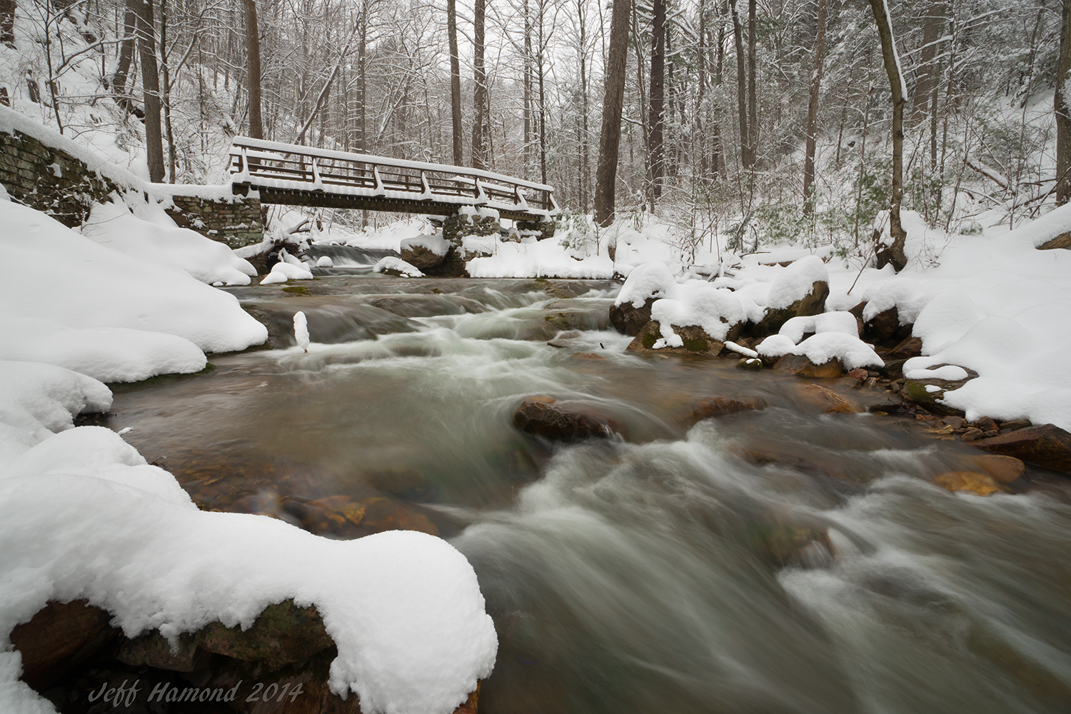
Trail Bridge
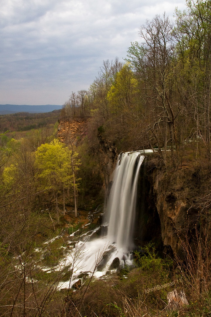
Falling Springs Falls
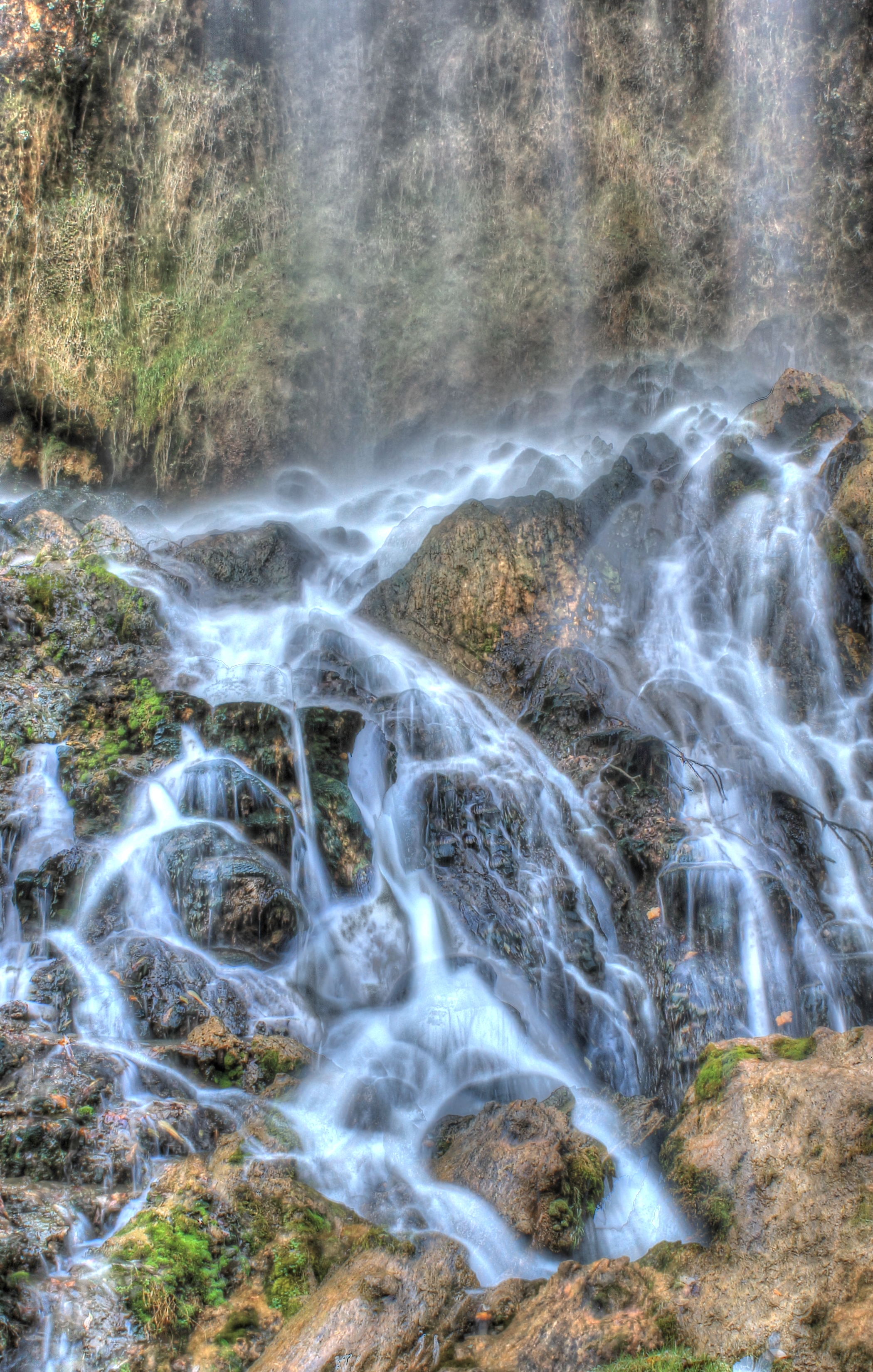
Falling Spring Falls 2
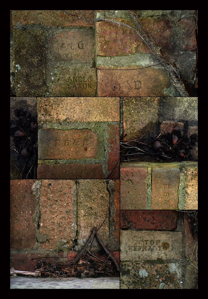
Makers Mark
Falling Spring
Roaring Run Falls

Halysidota tessellaris, Banded tussock moth, Eagle Rock, Virginia

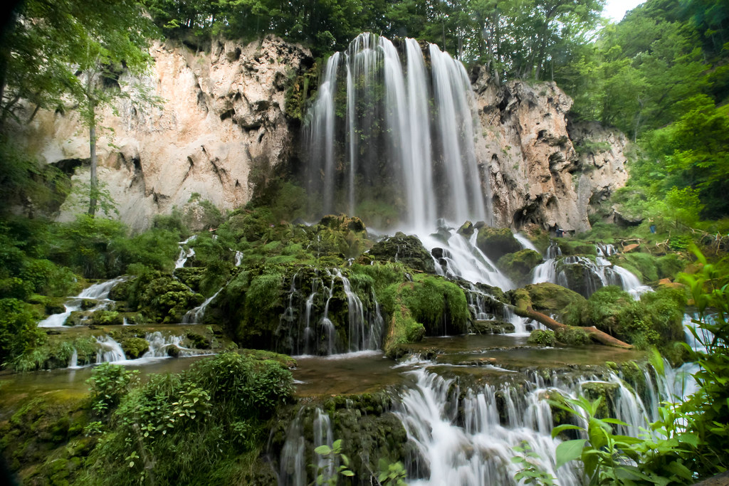
Falling Spring Falls

Olympus OM-2SP
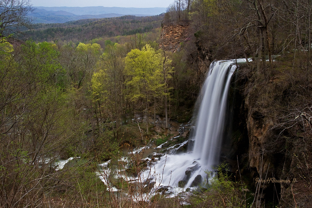
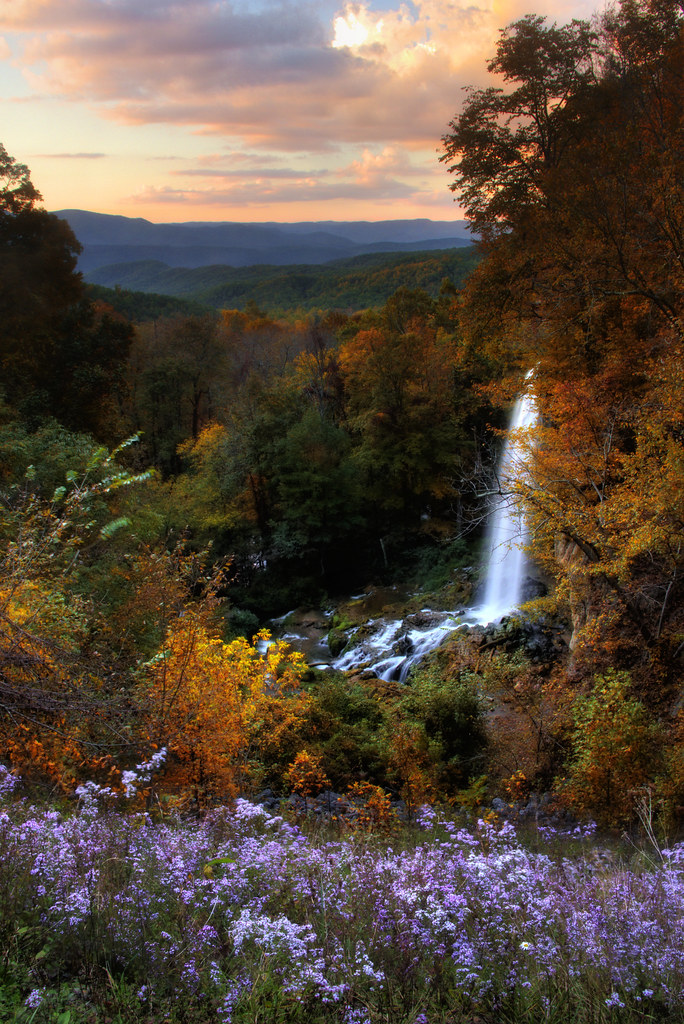
Falling Spring Falls - Spring
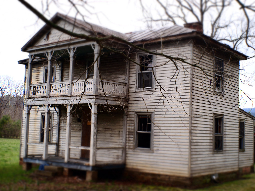
Old Abandonded Farmhouse
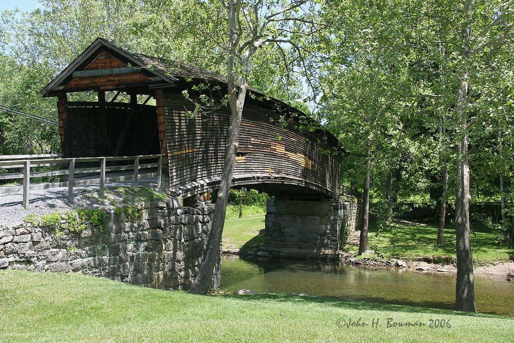
Humpback covered bridge - Virginia

Price's Bluff

nearer to god?
Not what I was hoping to find

Chesapeake and Ohio 614 Steam Locomotive

Chesapeake and Ohio 614 Model Steam Train

2-6-6-6 Allegheny Live Steam Locomotive

Mead-Westvaco Papermill, Covington, Virginia
When a Low Becomes a High
ways to go
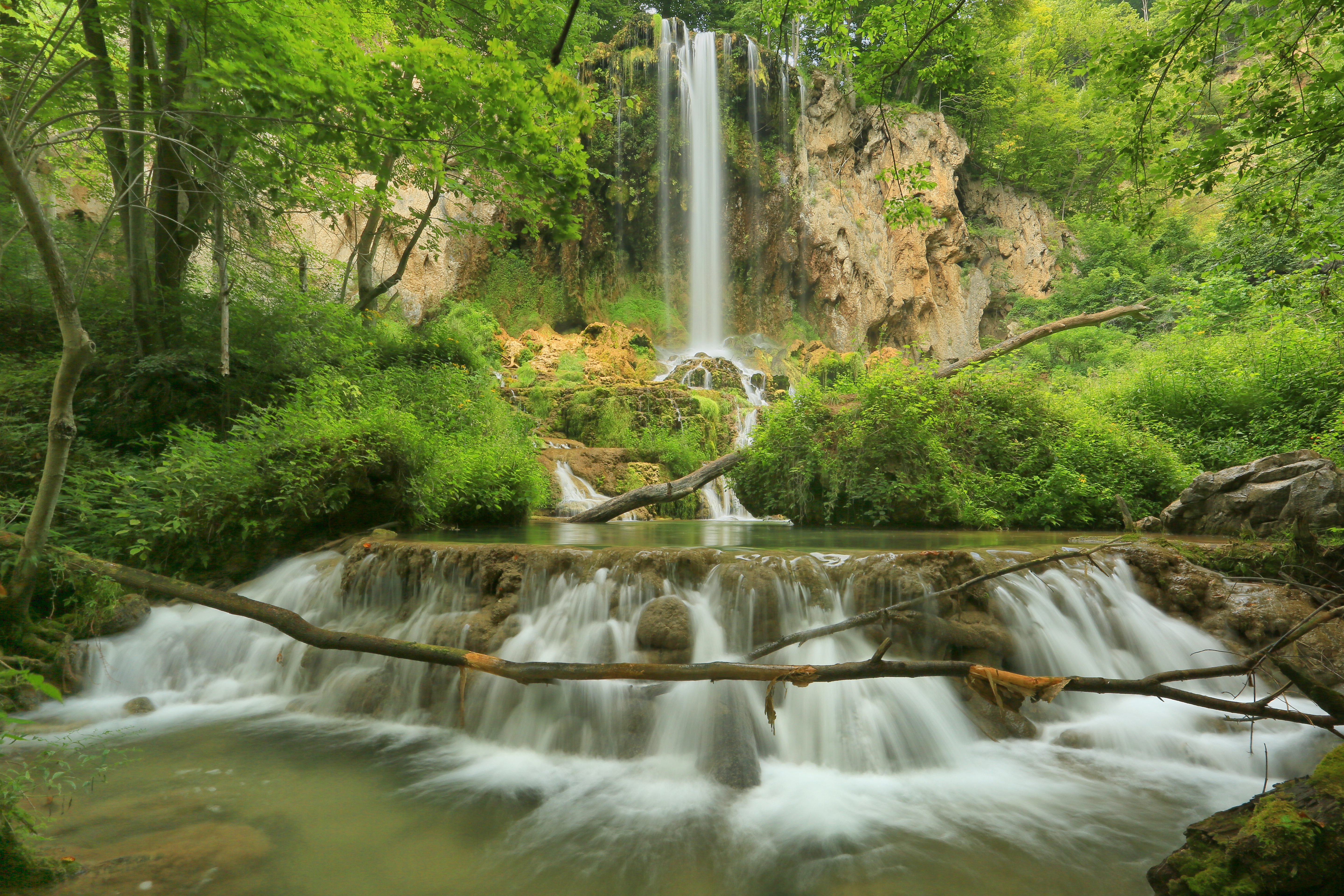
Falling Spring Falls, Falling Spring Falls Park, Virginia Department of Conservation and Recreation, Alleghany County, Virginia 3
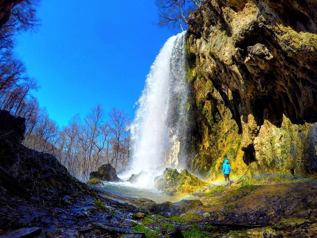
Keep looking up, there may be a rainbow waiting for you ????#waterfallwednesday #gopro #virginia #waterfall #optoutside
Falling Springs Waterfall

Falling Springs 2

Falling Springs Falls
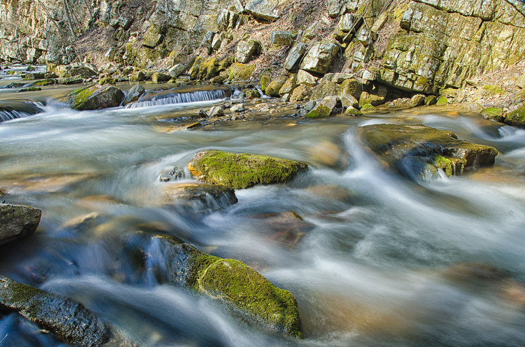
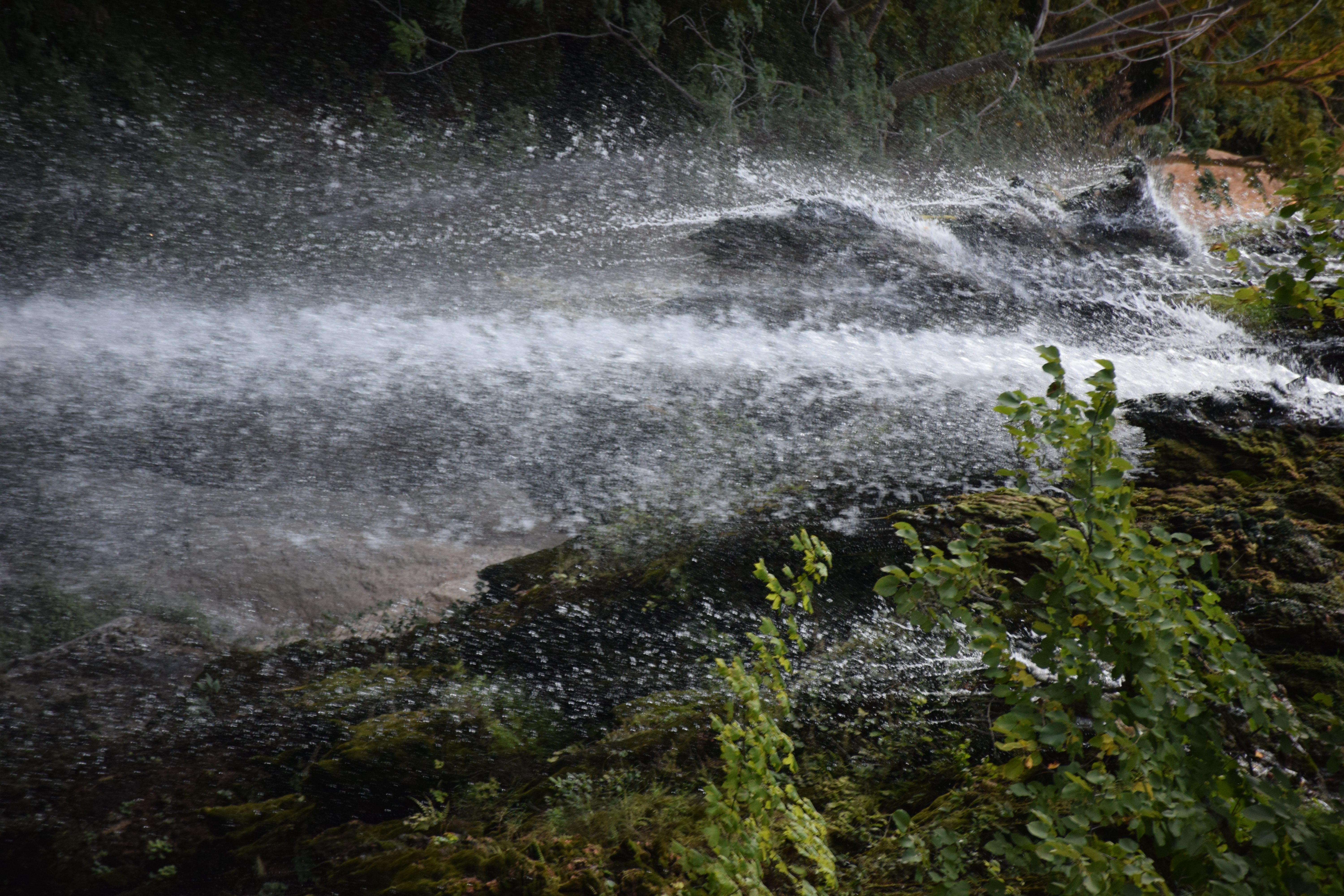
Rushing water
A Fine Day
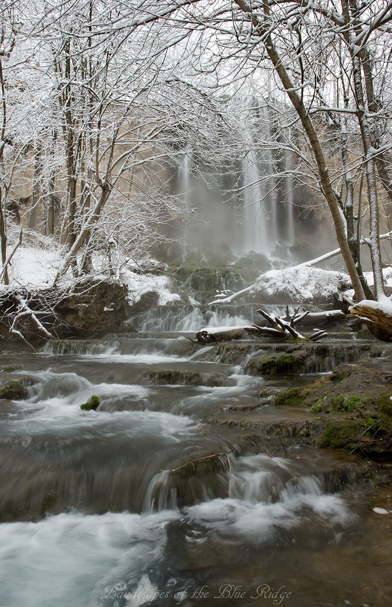
Landscapes of the Blue Ridge
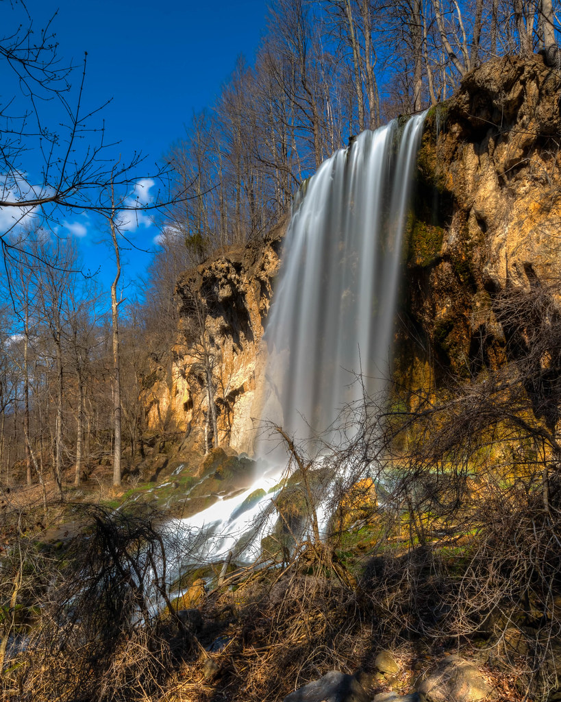
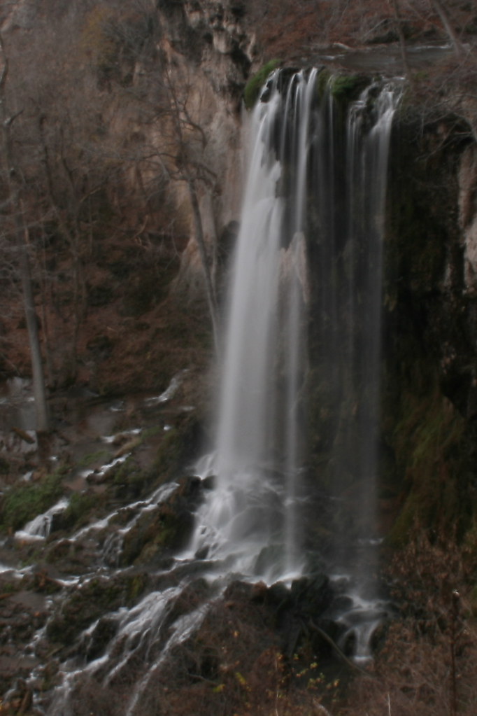
Falling Spring Falls
Blue Ridge_20140829_344
Falling Spring Falls

bath county
Gentle Streams
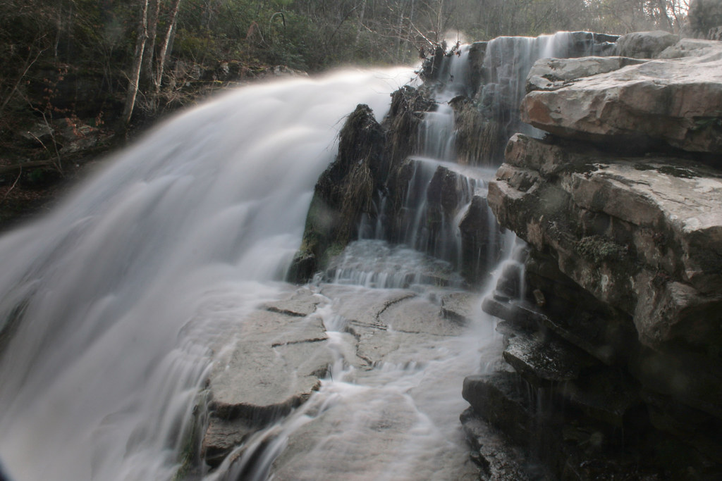
Roaring Run Water Fall

Water Castle

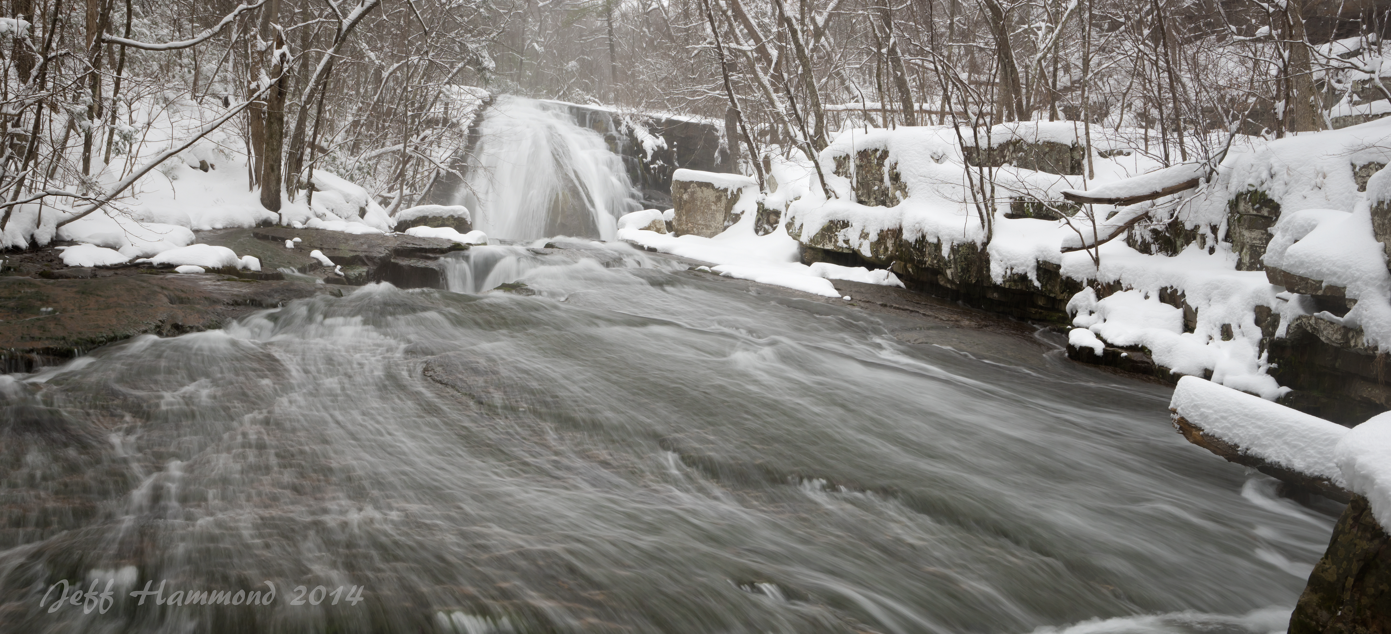
Winter Night Mist
Topographic Map of Jackson River, VA, USA
Find elevation by address:

Places in Jackson River, VA, USA:
Places near Jackson River, VA, USA:
Wood Town Rd, Eagle Rock, VA, USA
642 Overlook Dr
129 Roaring Run Rd
15 Roaring Run Rd
1349 S David Ave
3357 Ball Park Rd
4700 Hayes Gap Rd
Craig Creek Rd, Eagle Rock, VA, USA
1074 Ball Park Rd
Covington
Fincastle
Fincastle
4103 Rich Patch Rd
Jamison Mountain Road
2809 Jamison Mountain Rd
515 Hinkle Ln
Jordan Mines
Boiling Springs
8605 Mill Branch Rd
Recent Searches:
- Elevation of Gateway Blvd SE, Canton, OH, USA
- Elevation of East W.T. Harris Boulevard, E W.T. Harris Blvd, Charlotte, NC, USA
- Elevation of West Sugar Creek, Charlotte, NC, USA
- Elevation of Wayland, NY, USA
- Elevation of Steadfast Ct, Daphne, AL, USA
- Elevation of Lagasgasan, X+CQH, Tiaong, Quezon, Philippines
- Elevation of Rojo Ct, Atascadero, CA, USA
- Elevation of Flagstaff Drive, Flagstaff Dr, North Carolina, USA
- Elevation of Avery Ln, Lakeland, FL, USA
- Elevation of Woolwine, VA, USA