Elevation of Jackson County, MN, USA
Location: United States > Minnesota >
Longitude: -95.143206
Latitude: 43.598799
Elevation: 442m / 1450feet
Barometric Pressure: 96KPa
Elevation Map:
Satellite Map:
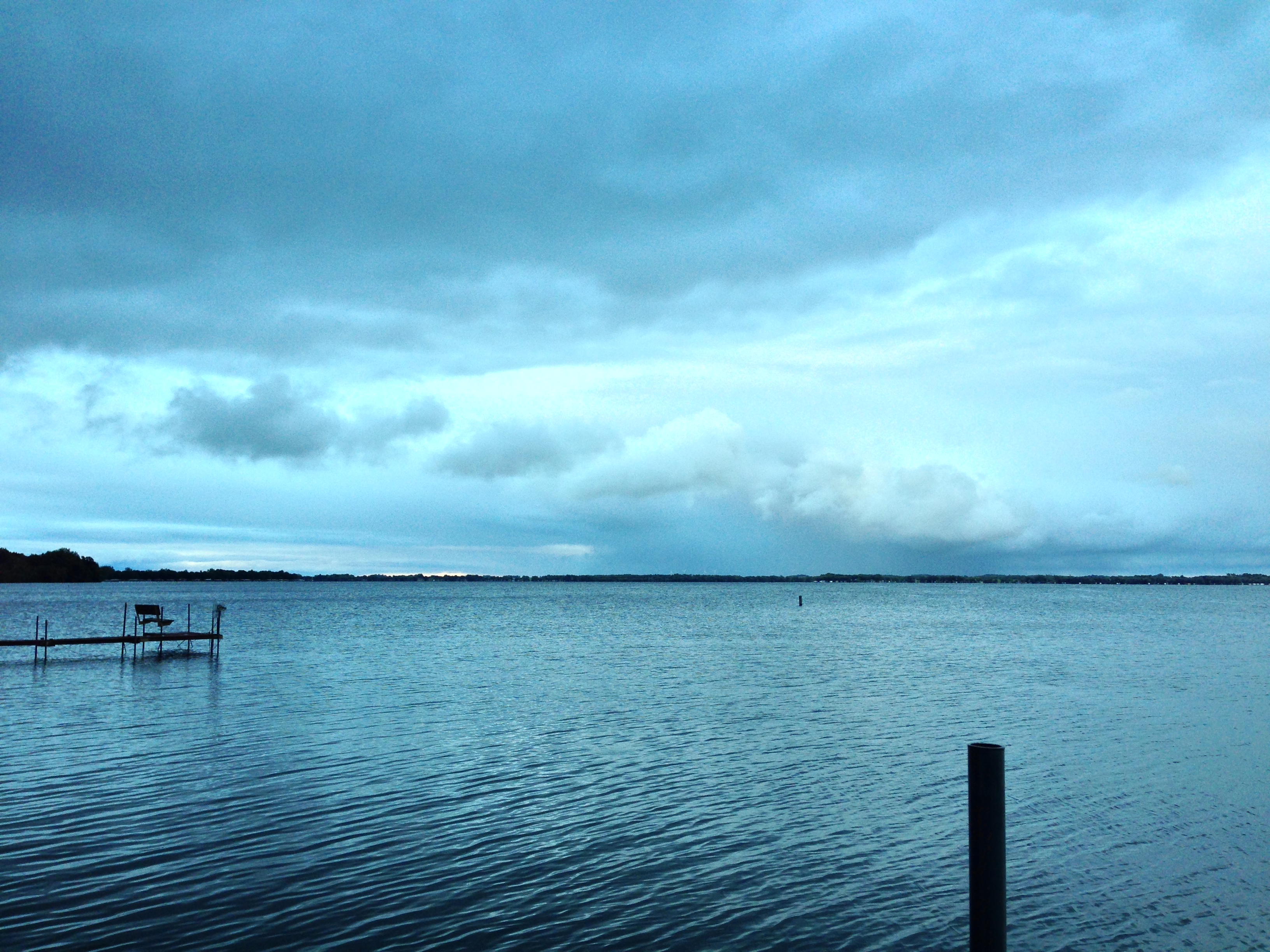
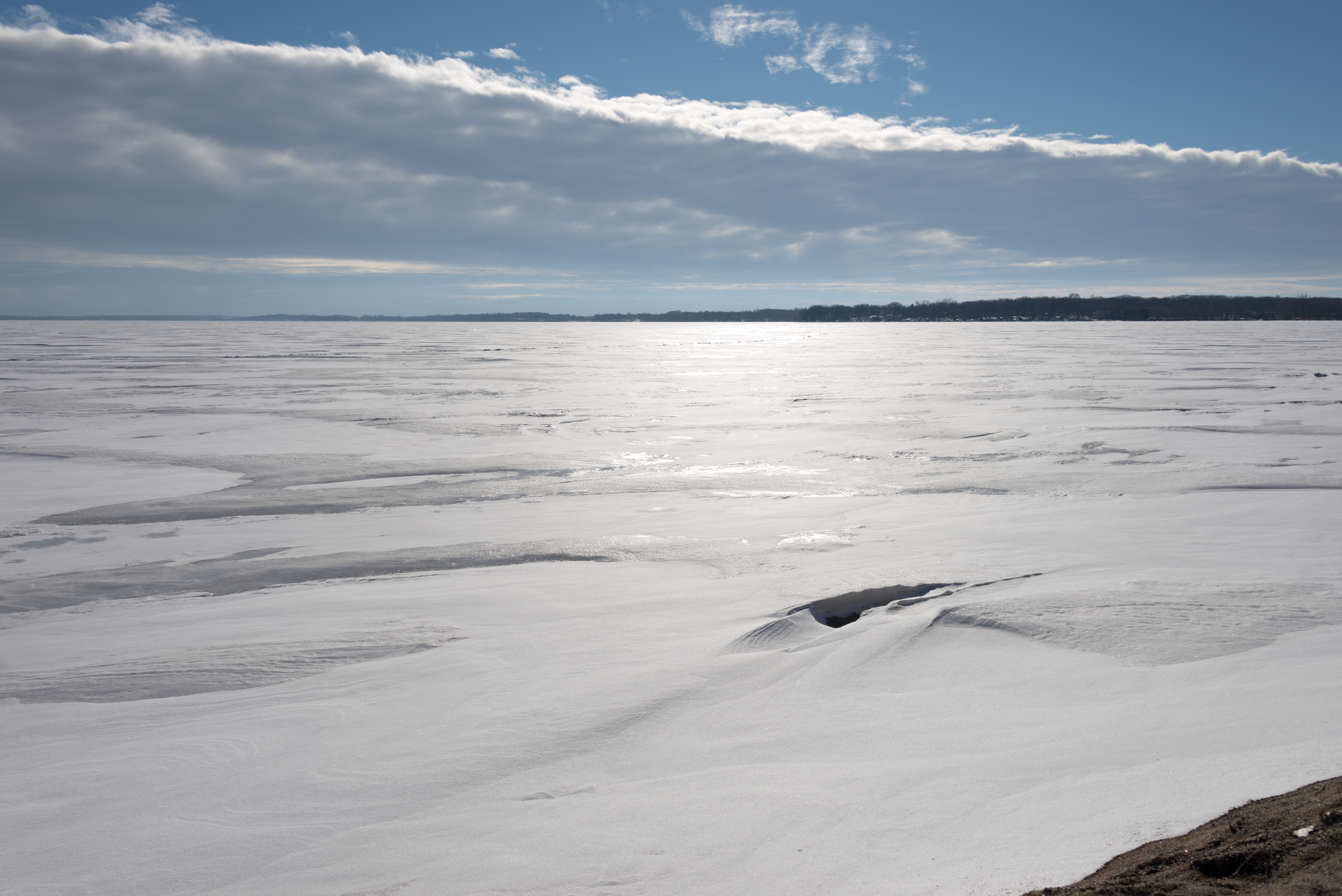
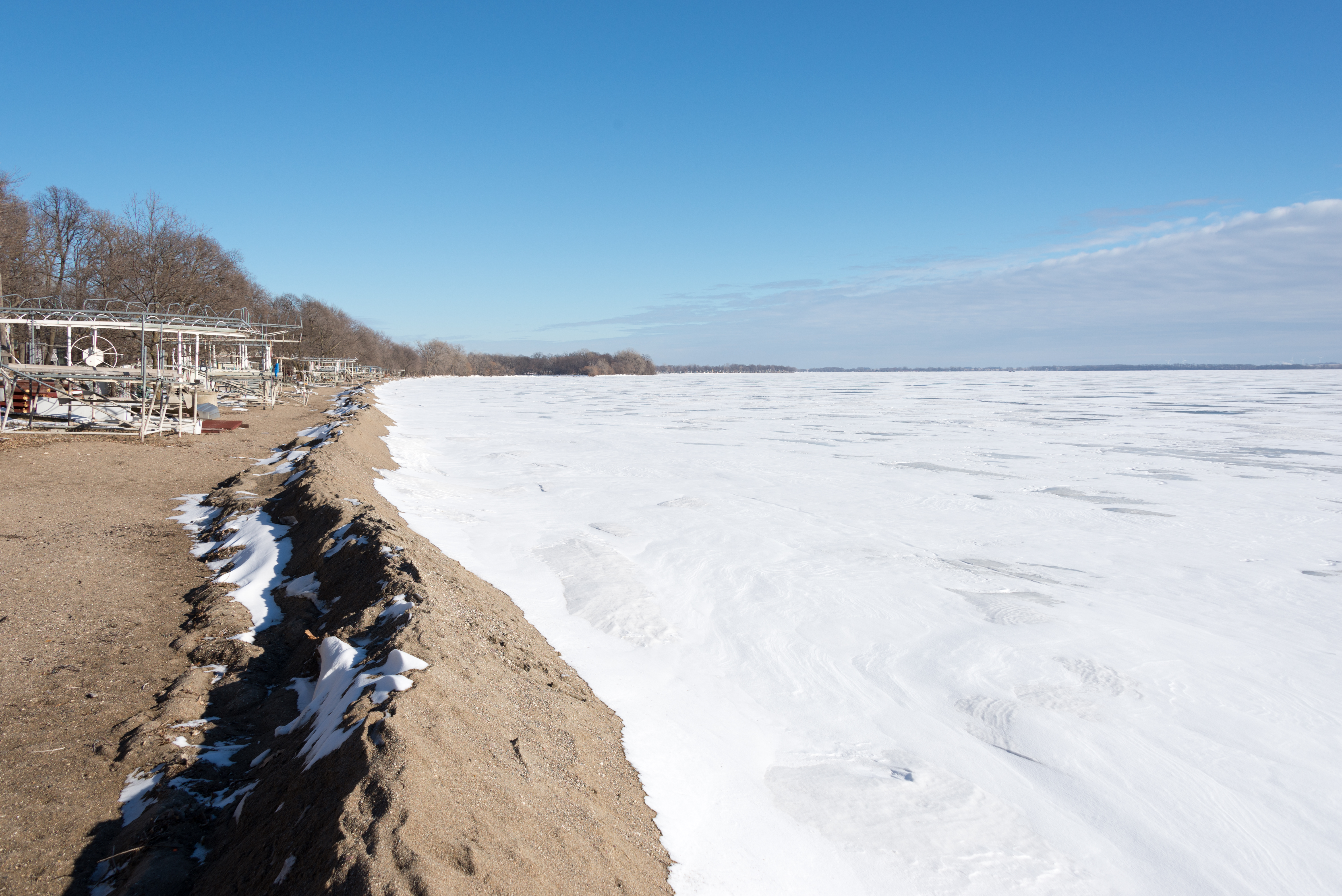
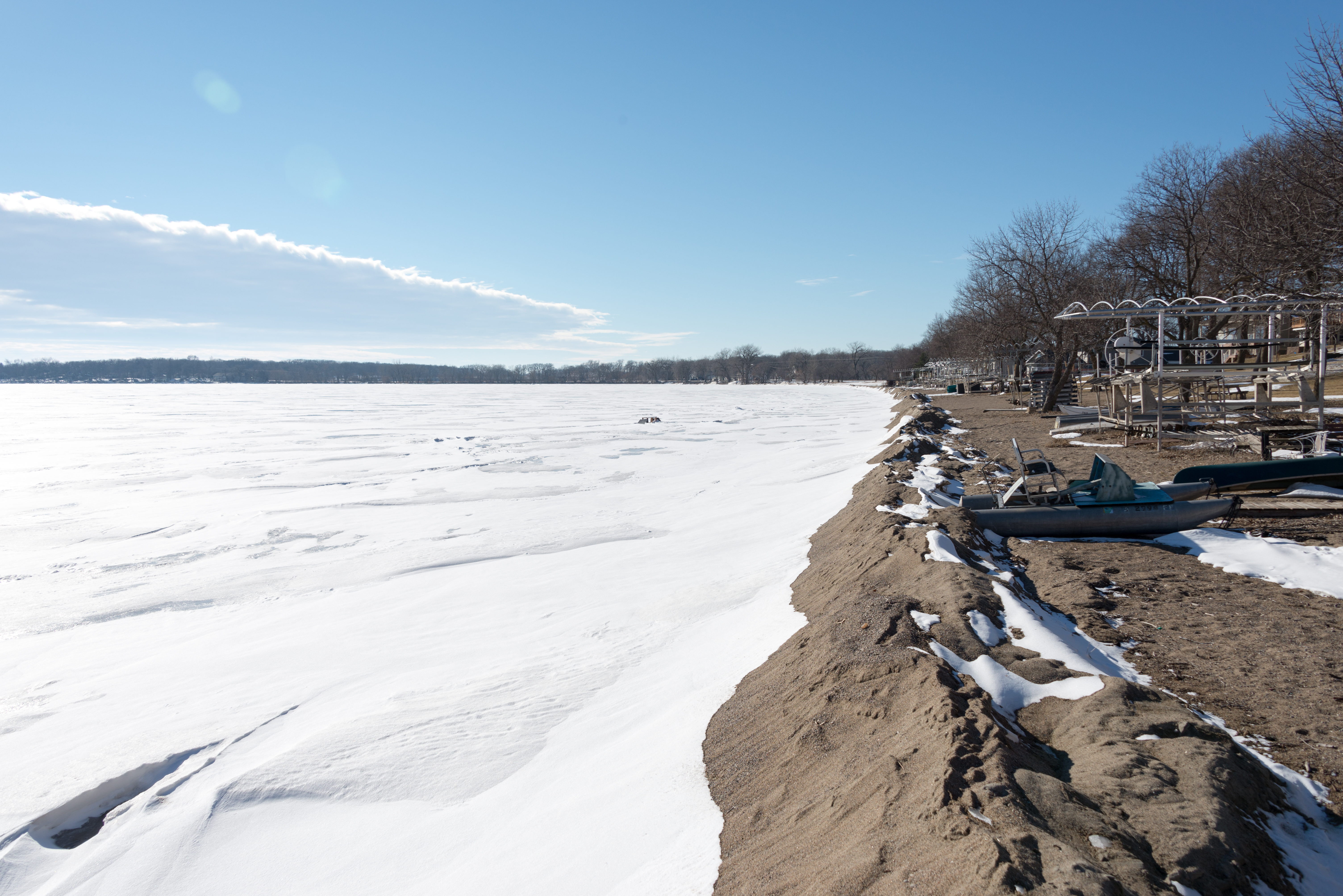
Related Photos:
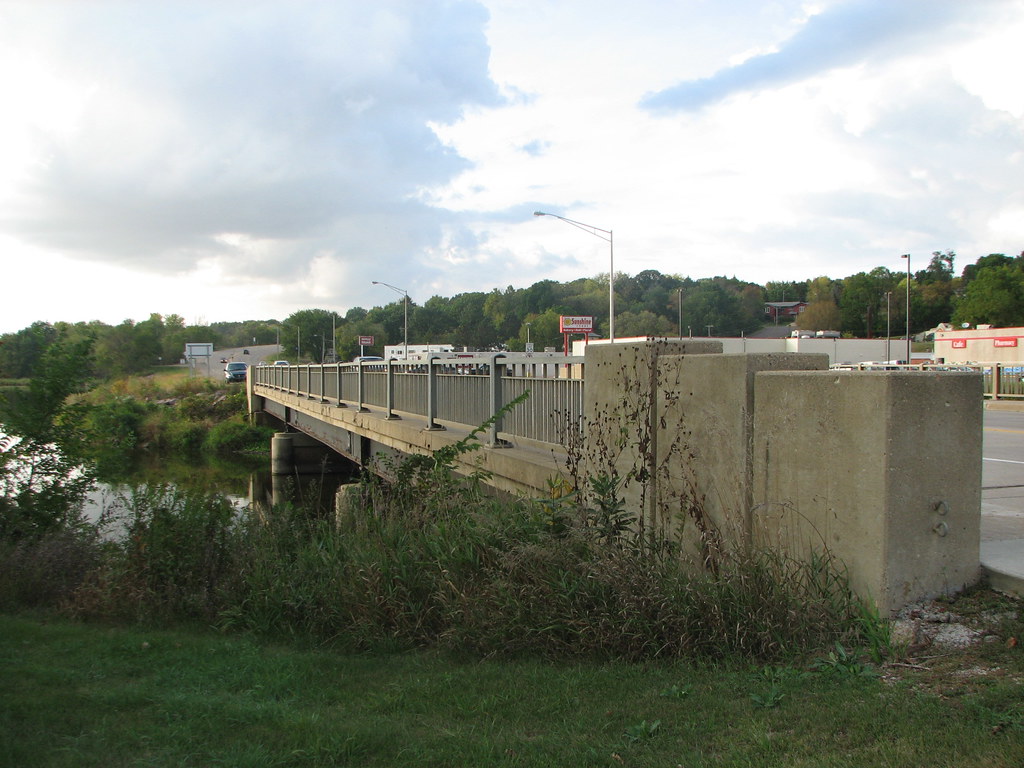
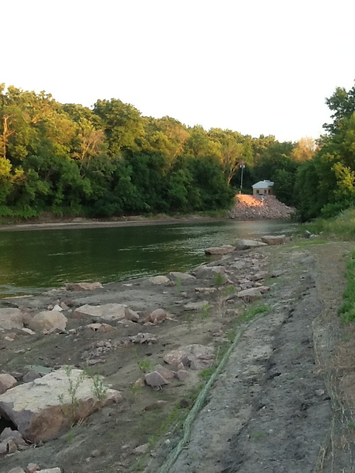
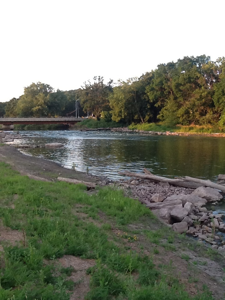
West Fork Des Moines River-Side View
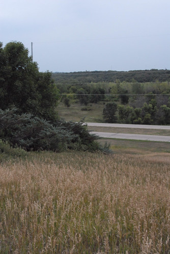
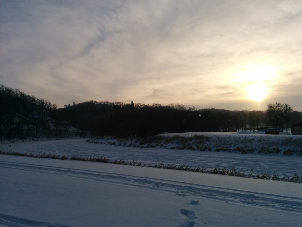
View toward Jackson, MN, from Des Moines Rest Stop

ESV Study Bible Unboxing - 03
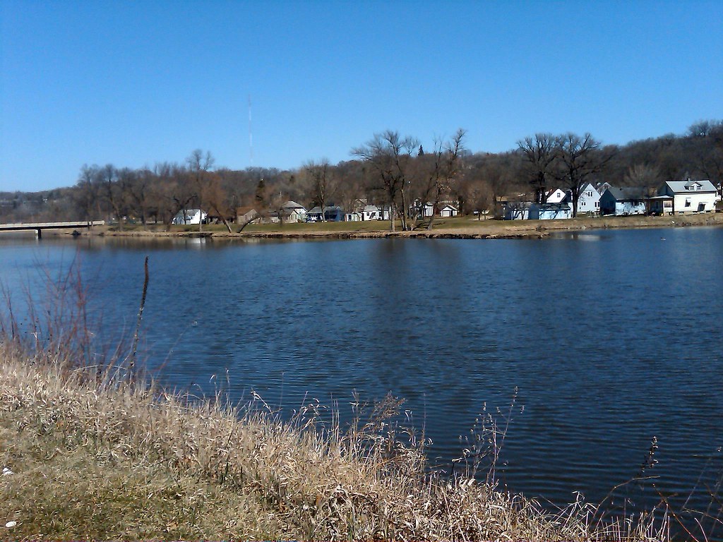
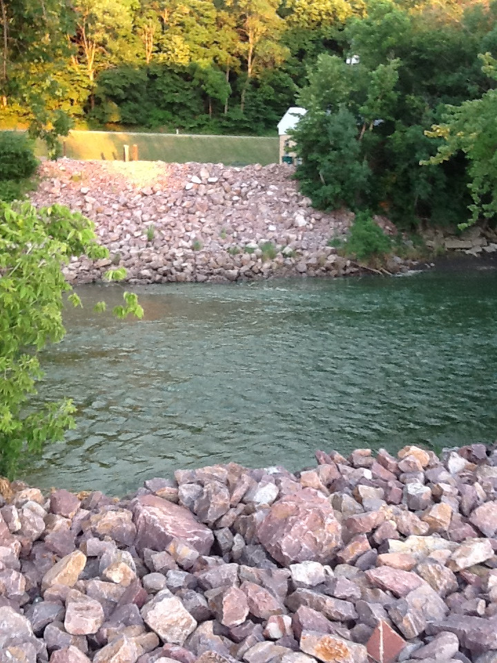
A River View
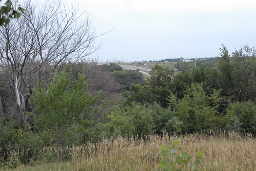
View South toward I90

Spirit Lake
2014-07-01 20.38.27
_DSC0644.jpg
_DSC0659.jpg
_DSC0660.jpg
_DSC0641.jpg
My Photo Stream-979

Partly Cloudy

Golden (HDR)
_DSC0651.jpg

Lakefield Sunrise
Ready and Waiting
_DSC0668.jpg
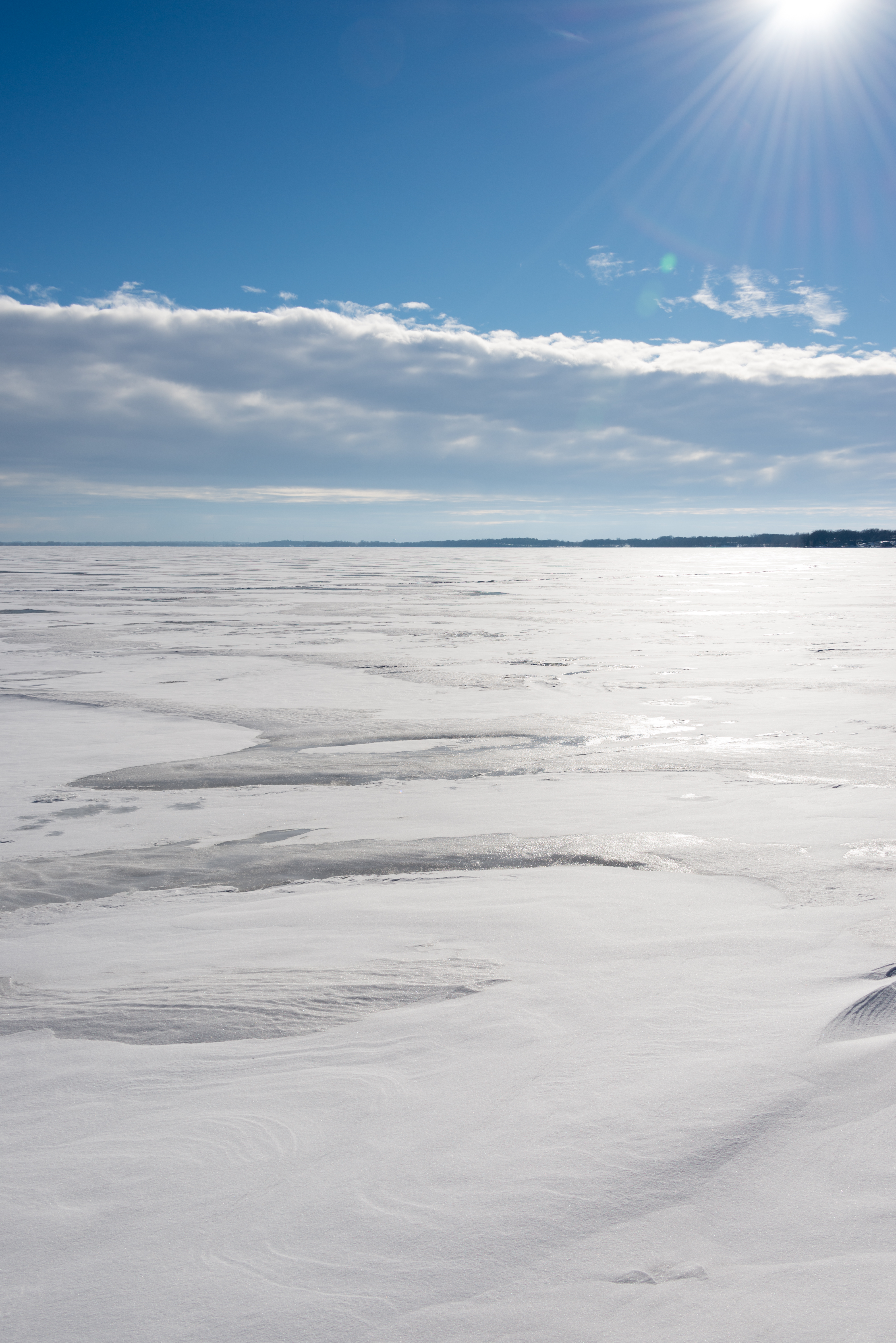
Morning Has Broken

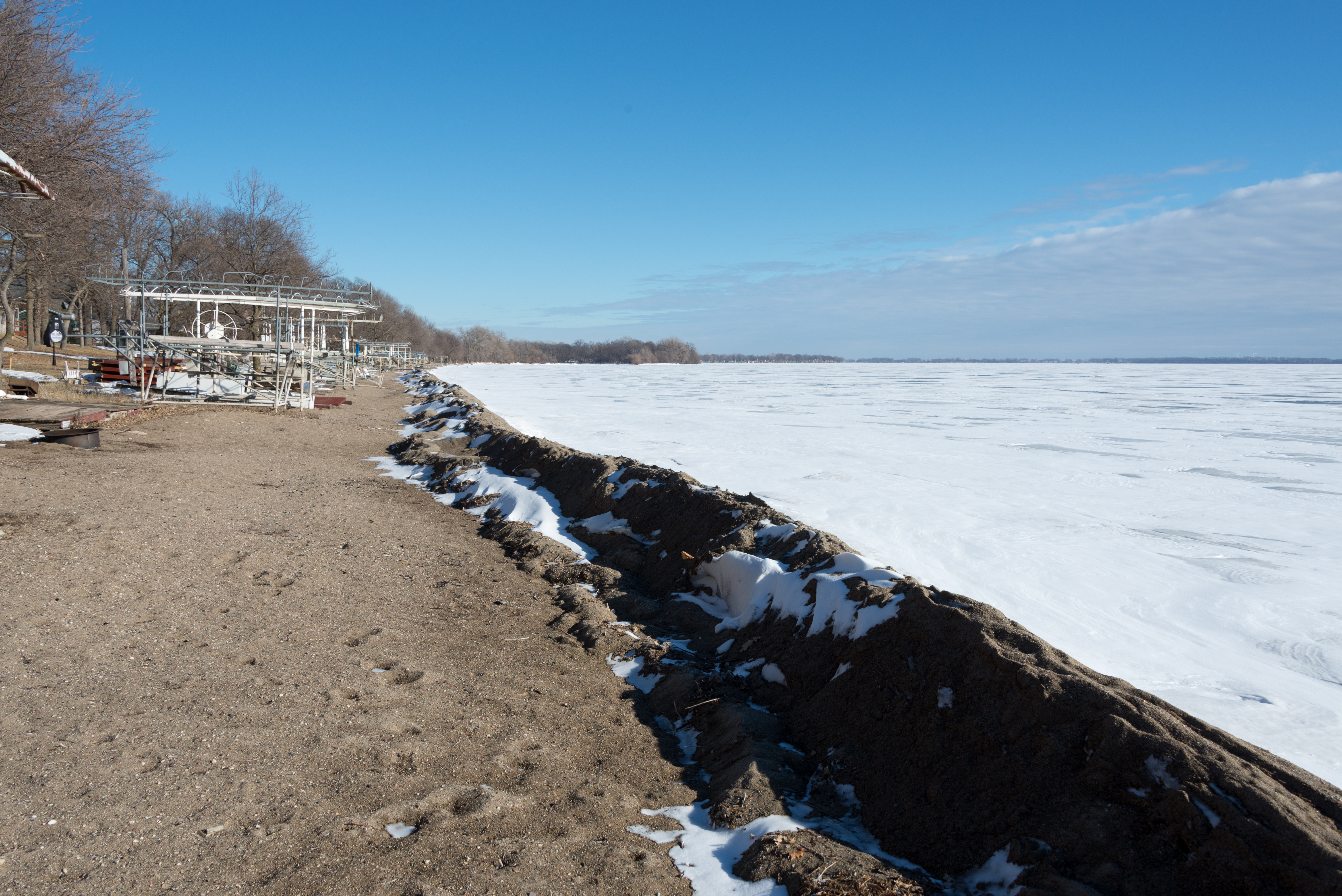
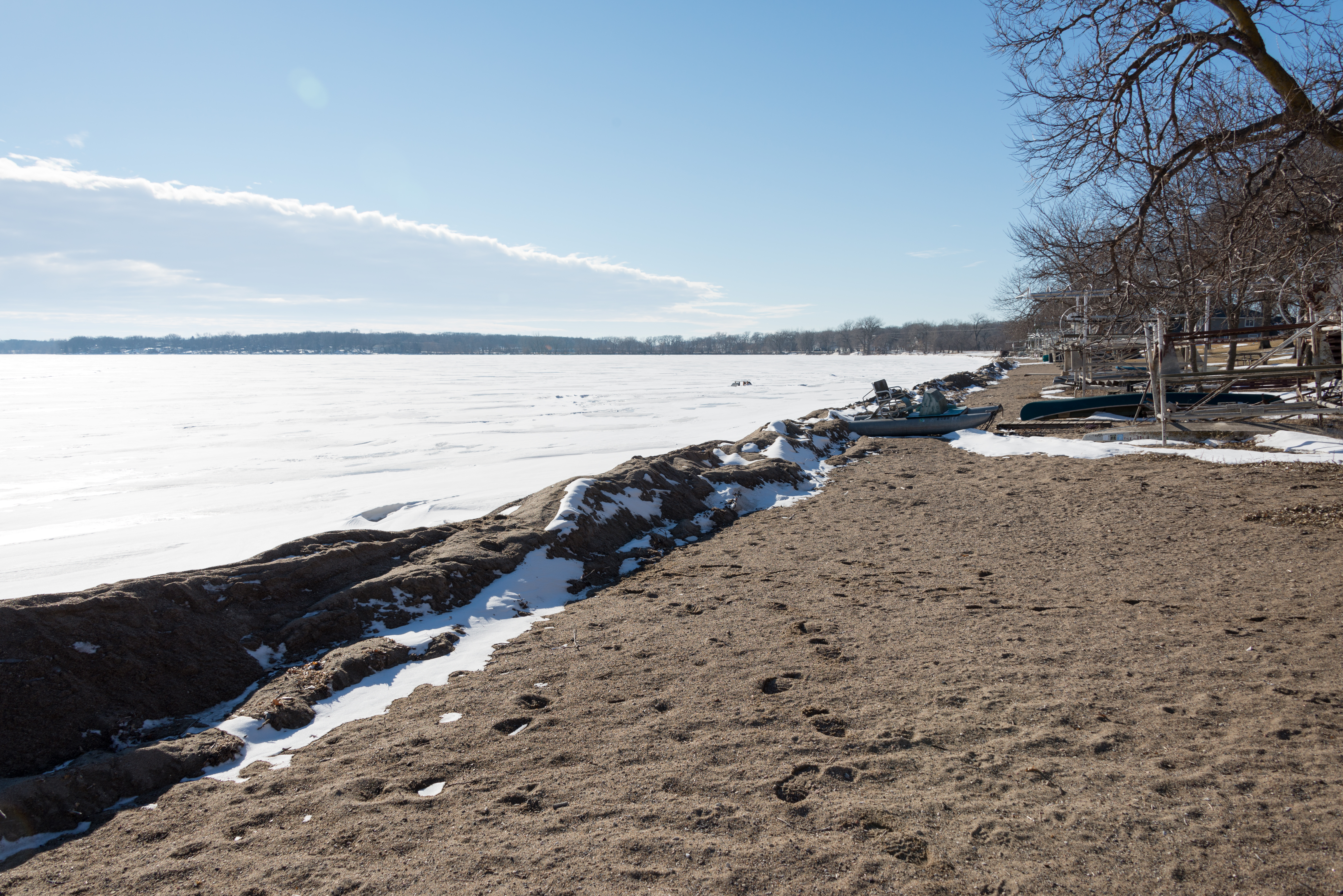
The Beach
My Photo Stream-971
My Photo Stream-981
My Photo Stream-970
_DSC4727.jpg

Golden (HDR)
Topographic Map of Jackson County, MN, USA
Find elevation by address:

Places in Jackson County, MN, USA:
Alpha
Christiania Township
W Ashley St, Jackson, MN, USA
Exchange St, Okabena, MN, USA
560th Avenue
Minneota Township
Jackson
Lakefield, MN, USA
Places near Jackson County, MN, USA:
Jackson Koa Journey
Jackson
W Ashley St, Jackson, MN, USA
560th Avenue
Exchange St, Okabena, MN, USA
Christiania Township
th St, Windom, MN, USA
Alpha
Windom
White Ave E, Alpha, MN, USA
1220 June Ct
2nd Ave, Bingham Lake, MN, USA
Bingham Lake
Jay Township
Sherburn, MN, USA
Carson Township
Co Rd 3, Windom, MN, USA
Mountain Lake
10th St N, Mountain Lake, MN, USA
N Main St, Dundee, MN, USA
Recent Searches:
- Elevation of Holloway Ave, San Francisco, CA, USA
- Elevation of Norfolk, NY, USA
- Elevation of - San Marcos Pass Rd, Santa Barbara, CA, USA
- Elevation of th Pl SE, Issaquah, WA, USA
- Elevation of 82- D Rd, Captain Cook, HI, USA
- Elevation of Harlow CM20 2PR, UK
- Elevation of Shenyang Agricultural University, Dong Ling Lu, Shen He Qu, Shen Yang Shi, Liao Ning Sheng, China
- Elevation of Alpha Dr, Melbourne, FL, USA
- Elevation of Hiroshima University, 1-chōme-3-2 Kagamiyama, Higashihiroshima, Hiroshima -, Japan
- Elevation of Bernina Dr, Lake Arrowhead, CA, USA