Elevation of Jack Brown Rd N, Sprague, WA, USA
Location: United States > Washington > Lincoln County >
Longitude: -117.83366
Latitude: 47.3834753
Elevation: 690m / 2264feet
Barometric Pressure: 93KPa
Elevation Map:
Satellite Map:
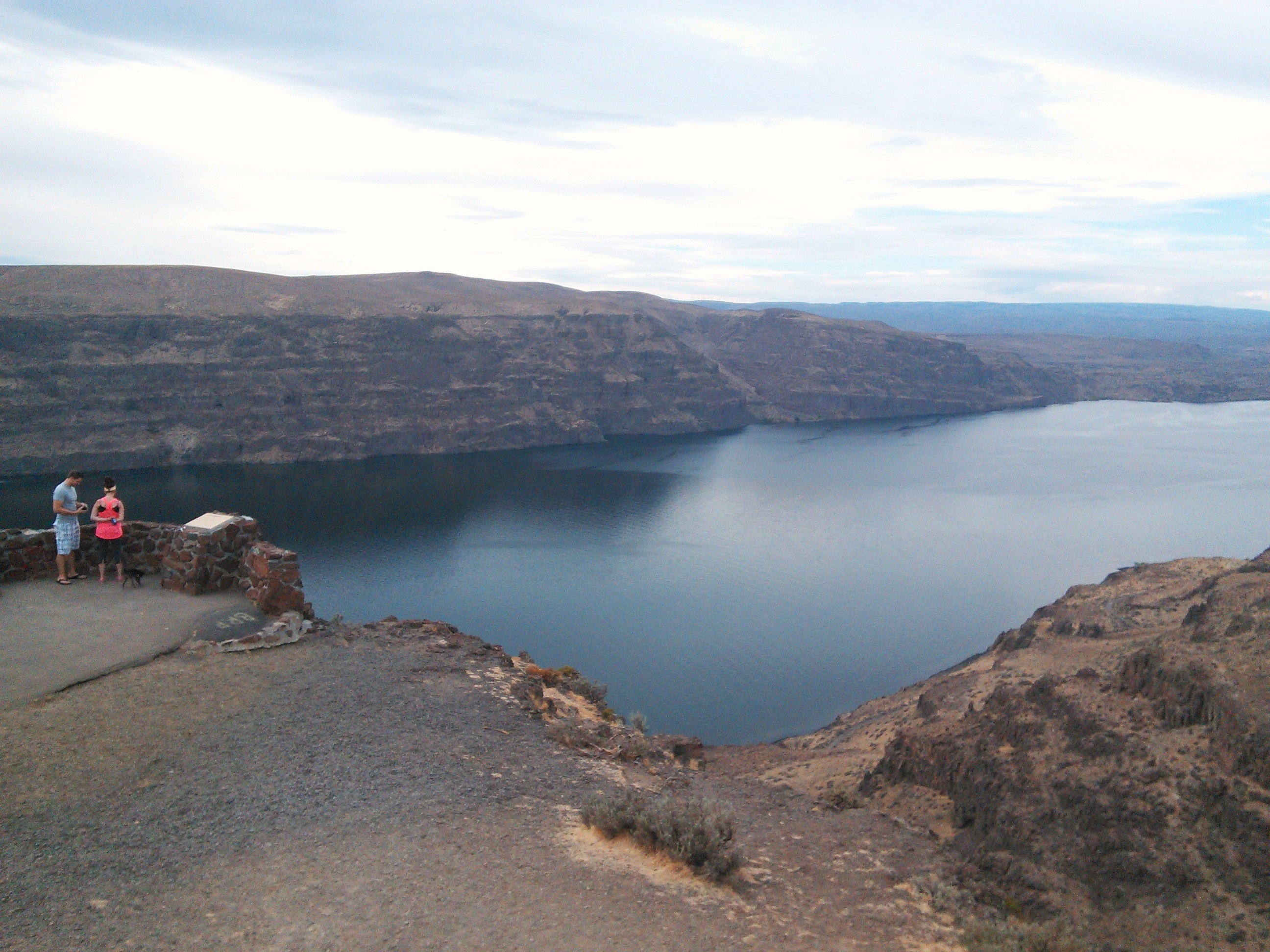
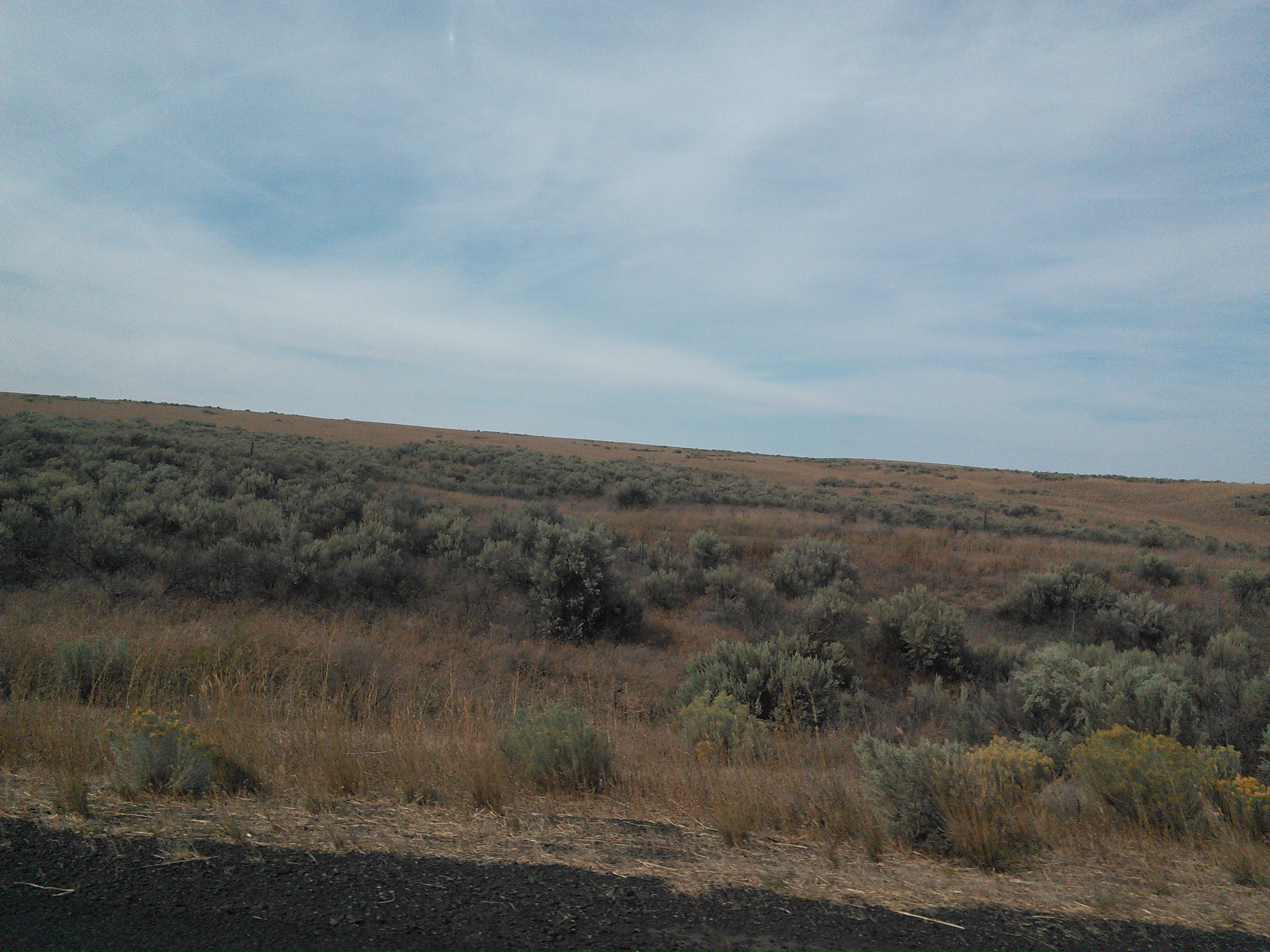
Related Photos:
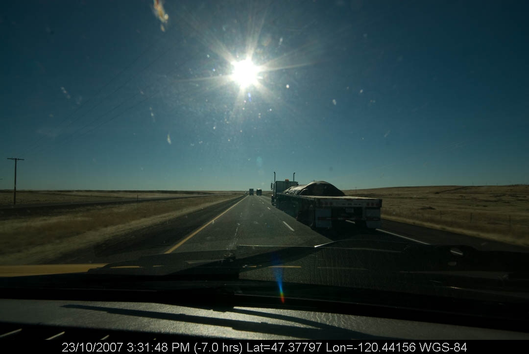
PenskeTwo-247.jpg
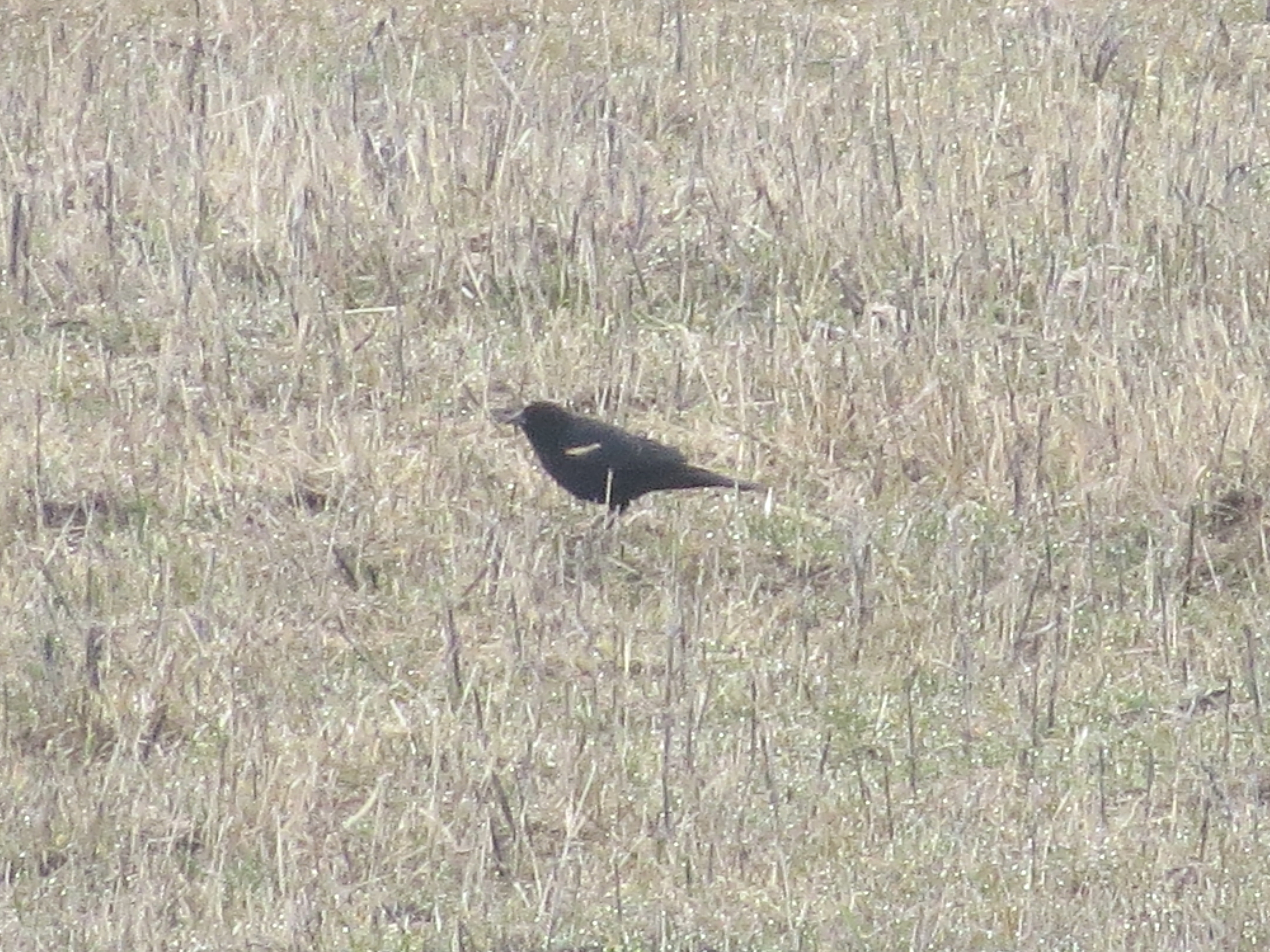
Tricolored Blackbird-Sprague, WA-3-10-2013
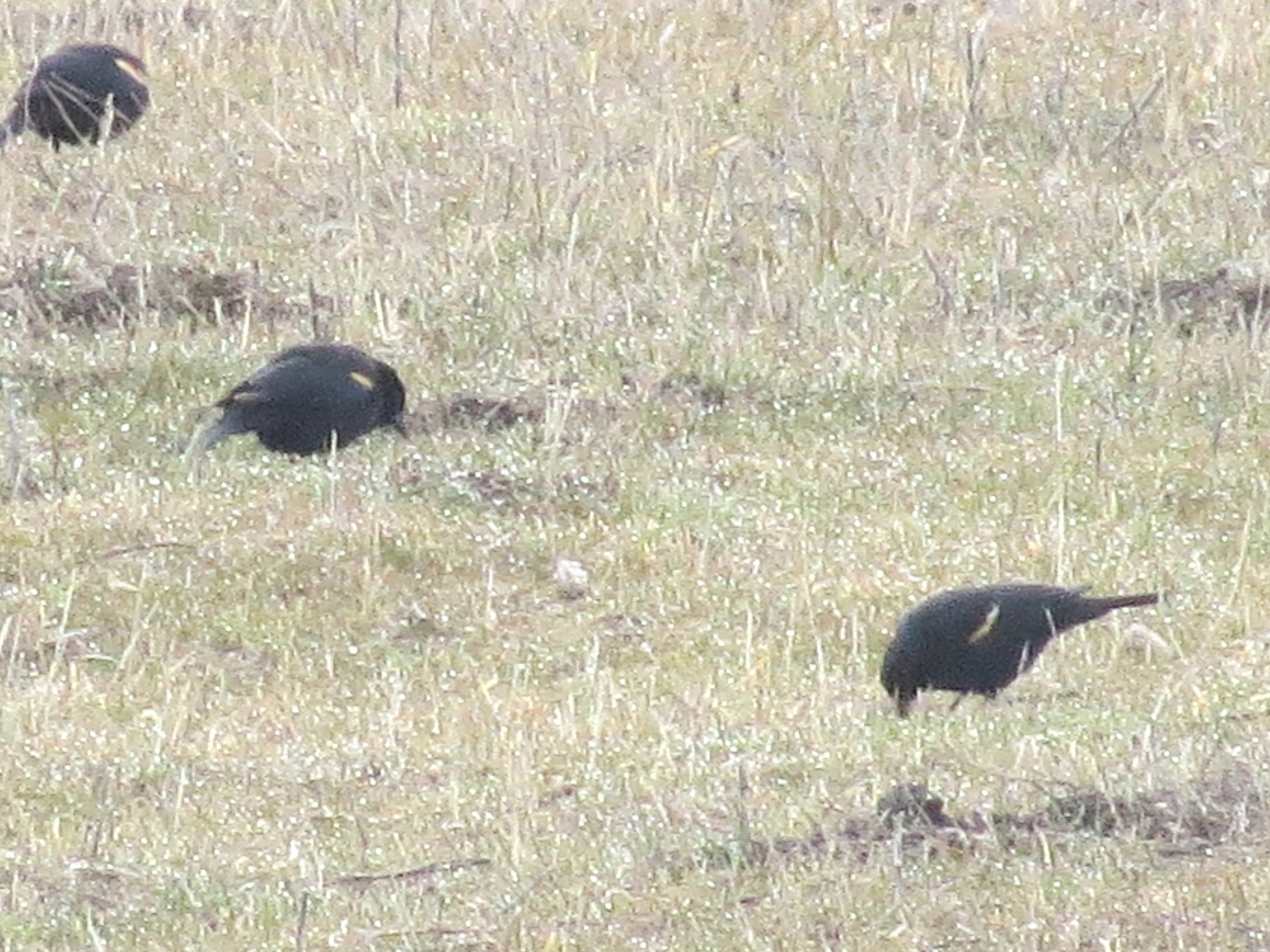
Tricolored Blackbirds-Sprague, WA-3-10-2013
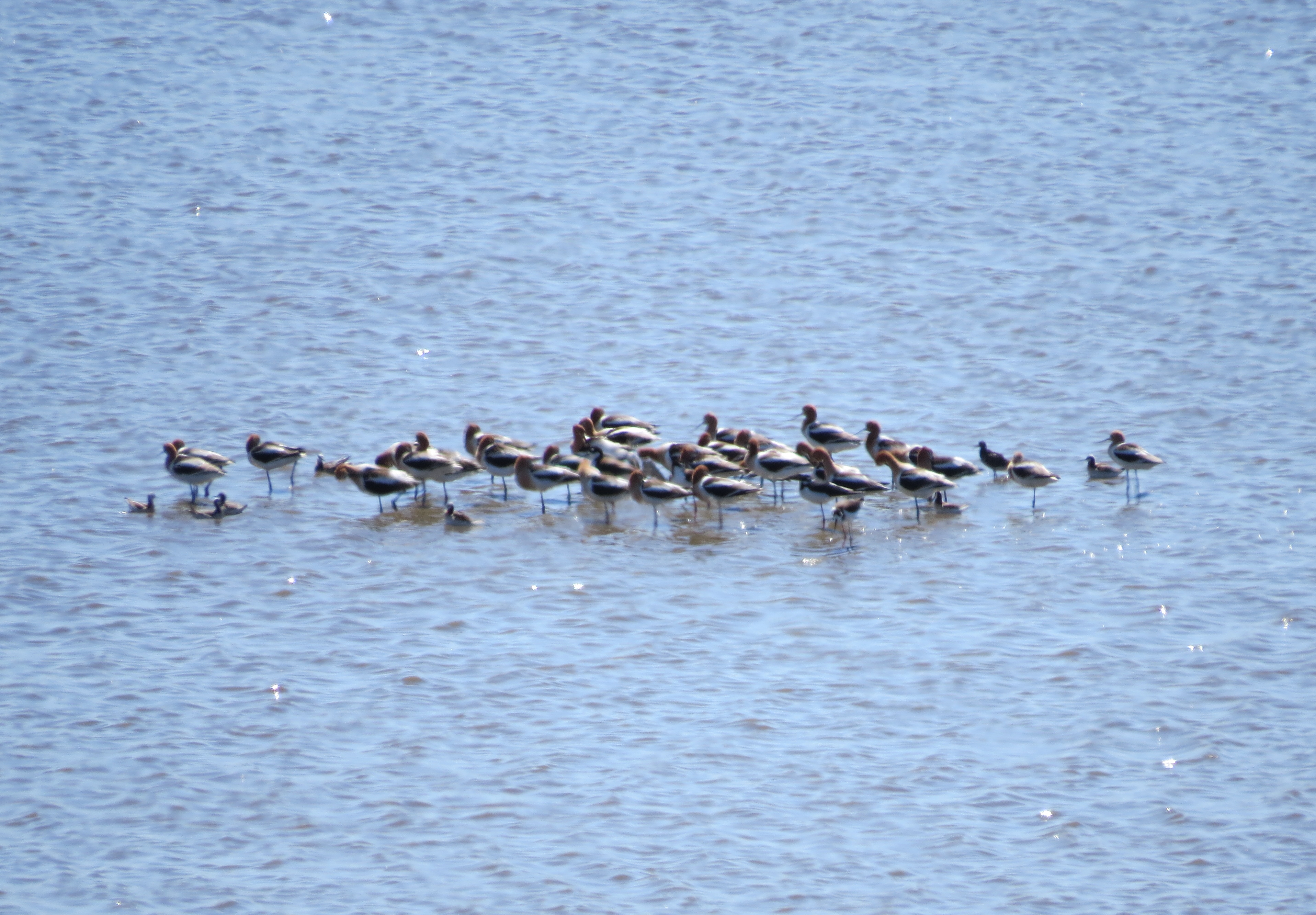
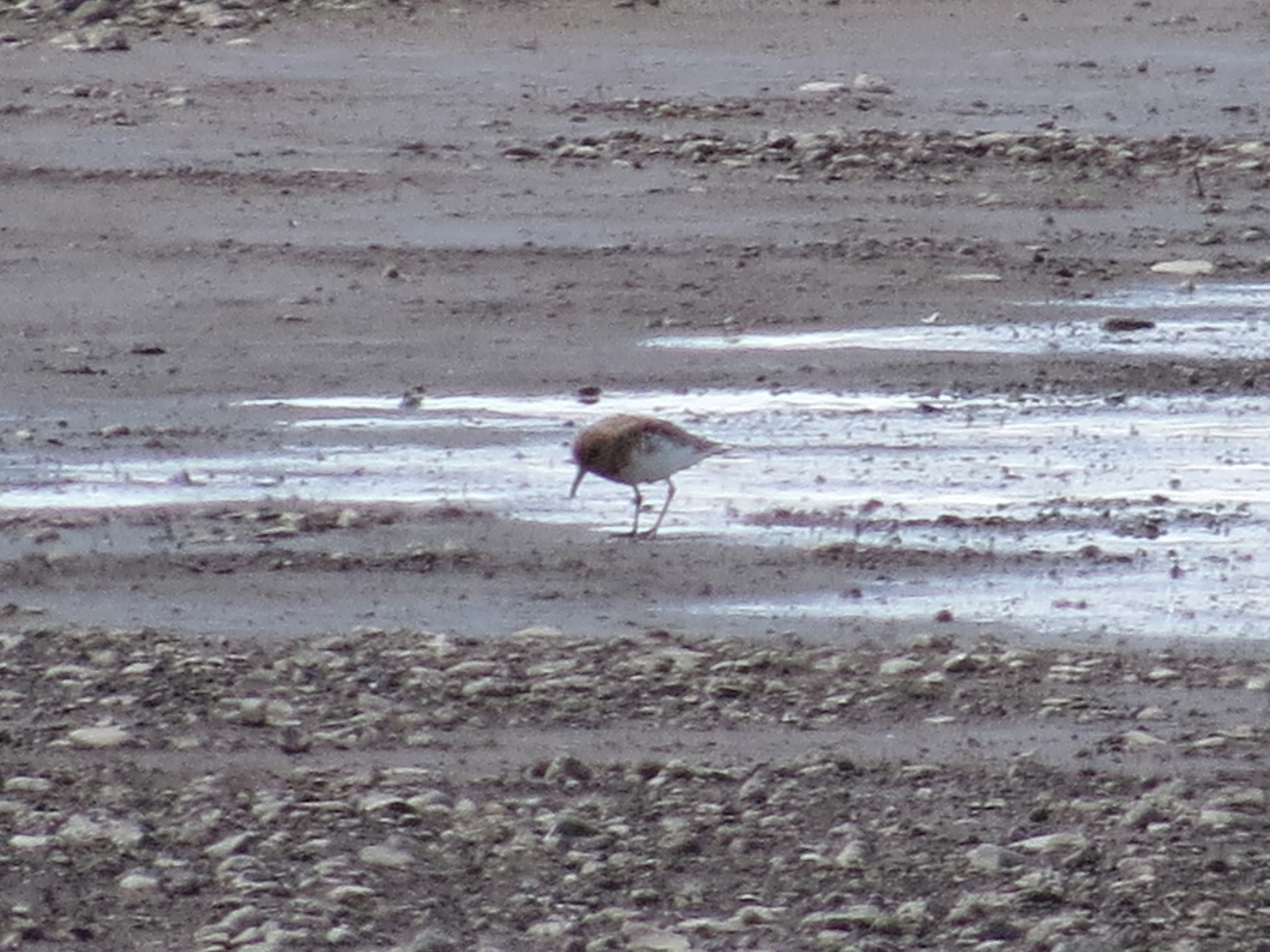
Shorebirds-Sprague, WA-5-4-2013
Sanderling-Sprague, WA-5-23-2013

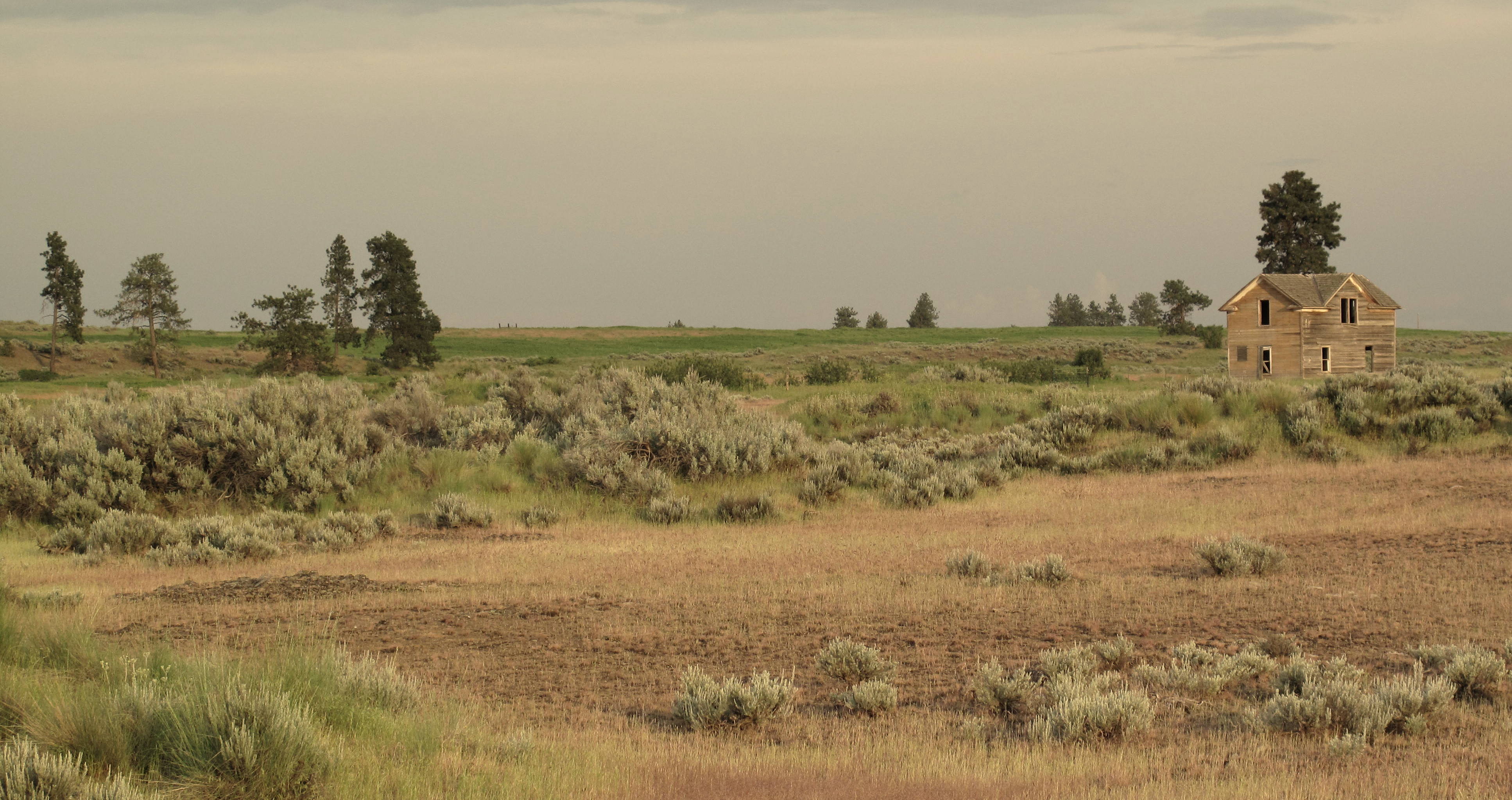
Homestead at Dawn, Eastern Washington

Semipalmated Plover-Sprague, WA-5-23-2013

Sanderling-Sprague, WA-5-23-2013
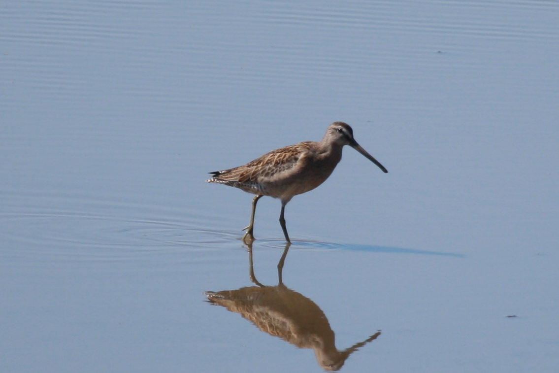
Short-billed Dowitcher-Sprague, WA-8-24-2012

Yellow-headed Blackbird-Sprague, WA-3-10-2013
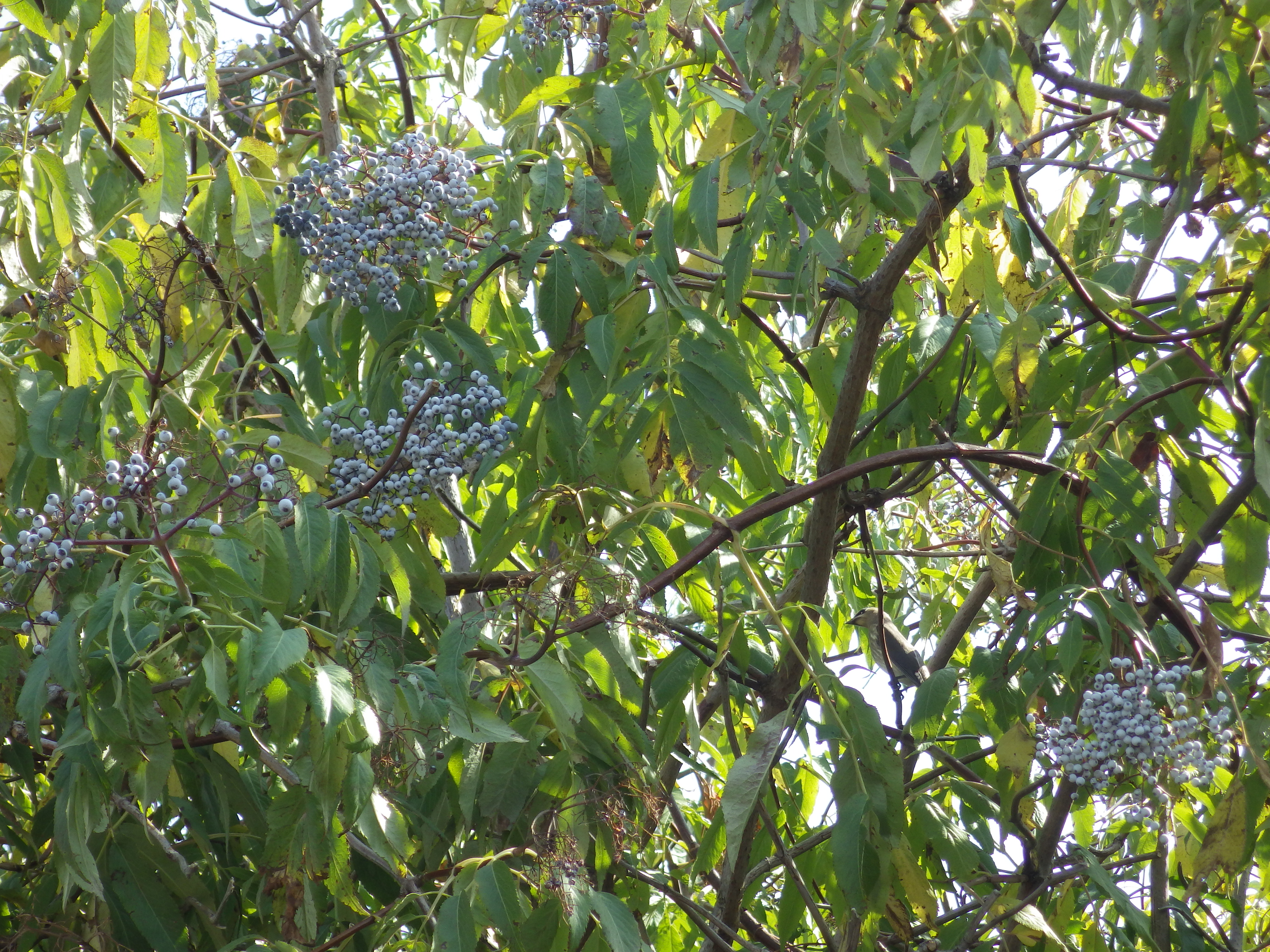
Blue elderberry
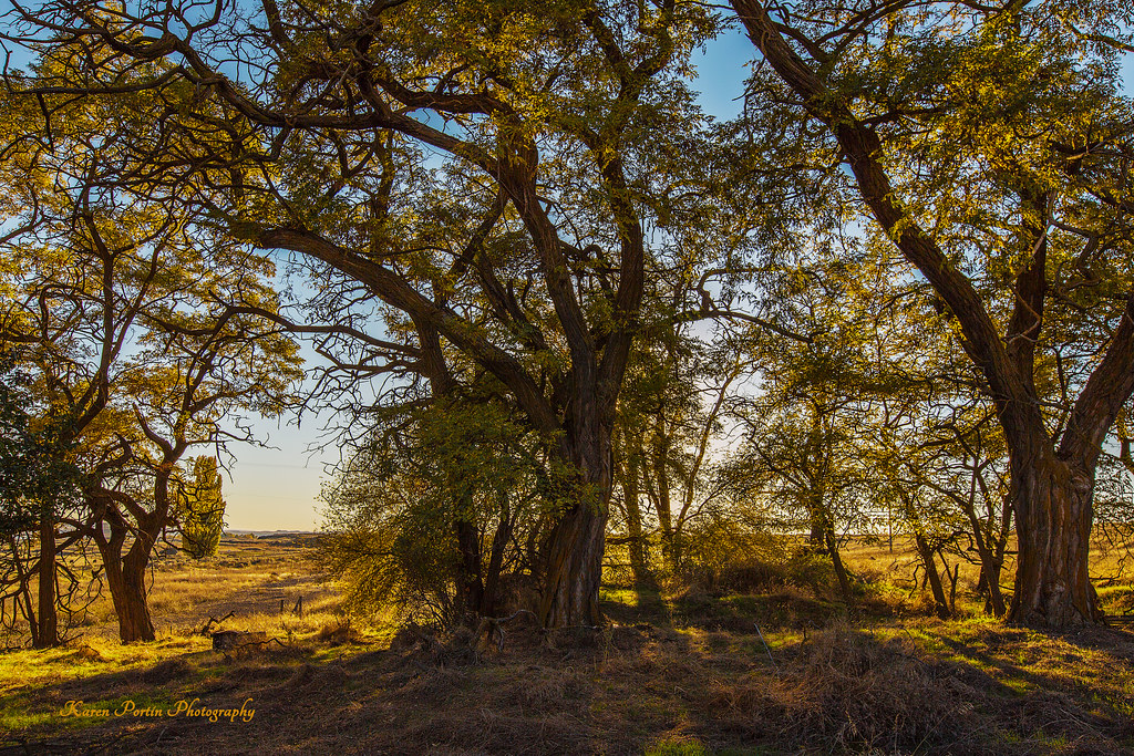
Trees at Sunset
Western Washington

No Hope
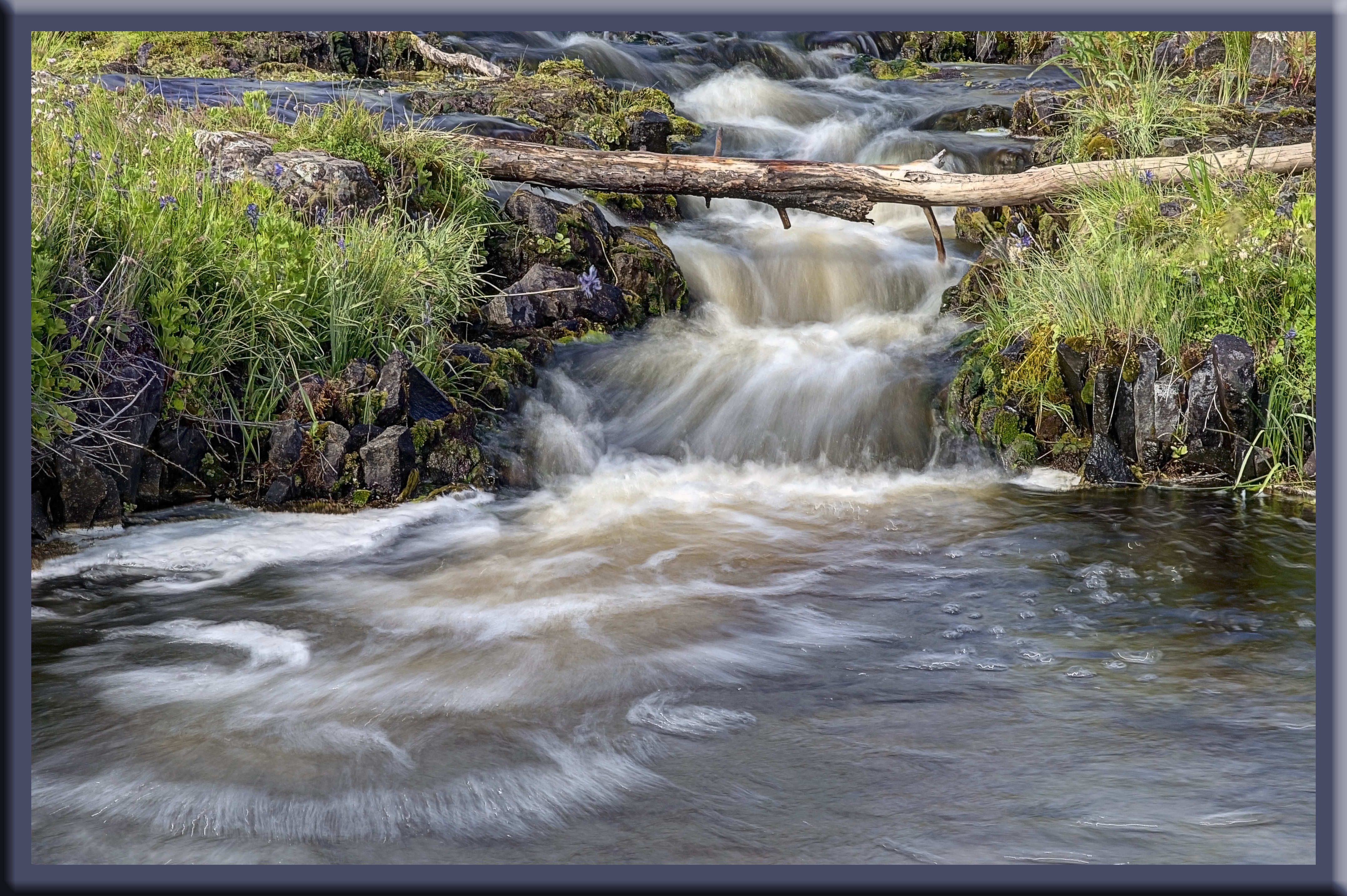
Creek above Hog Lake Falls
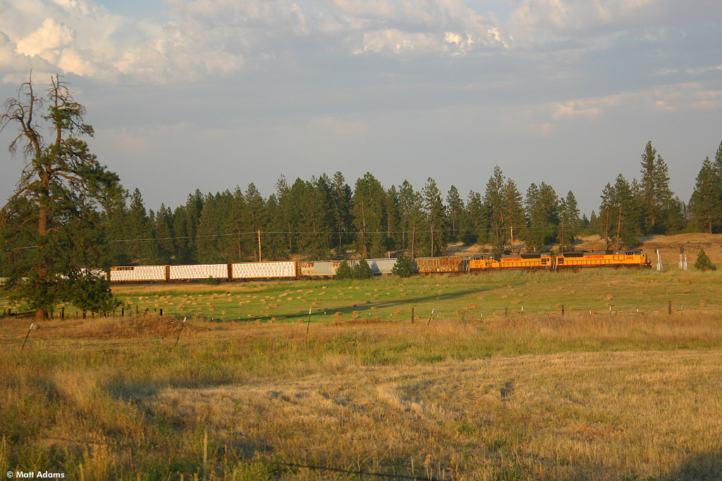
UP 8262
Upper end of Hog Lake Falls
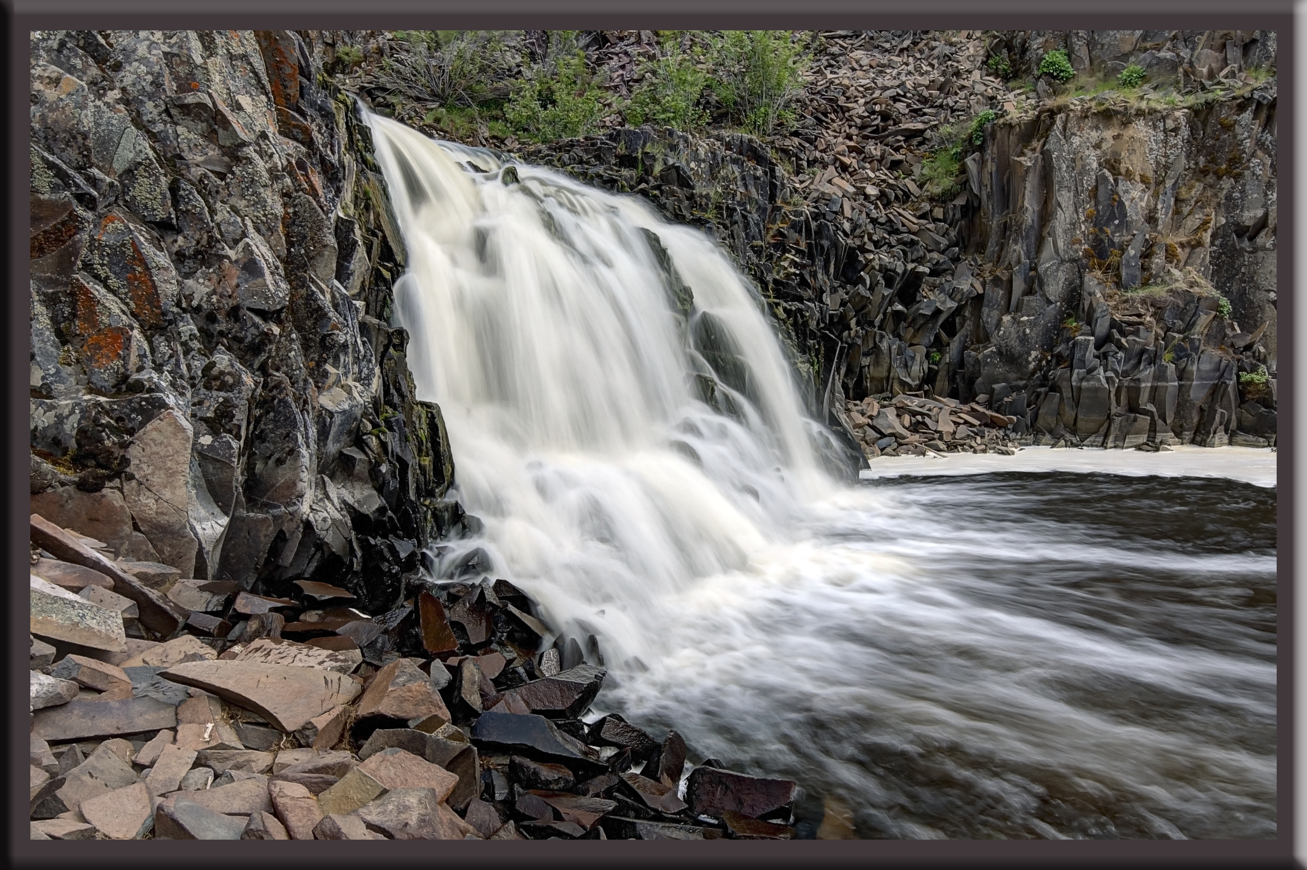
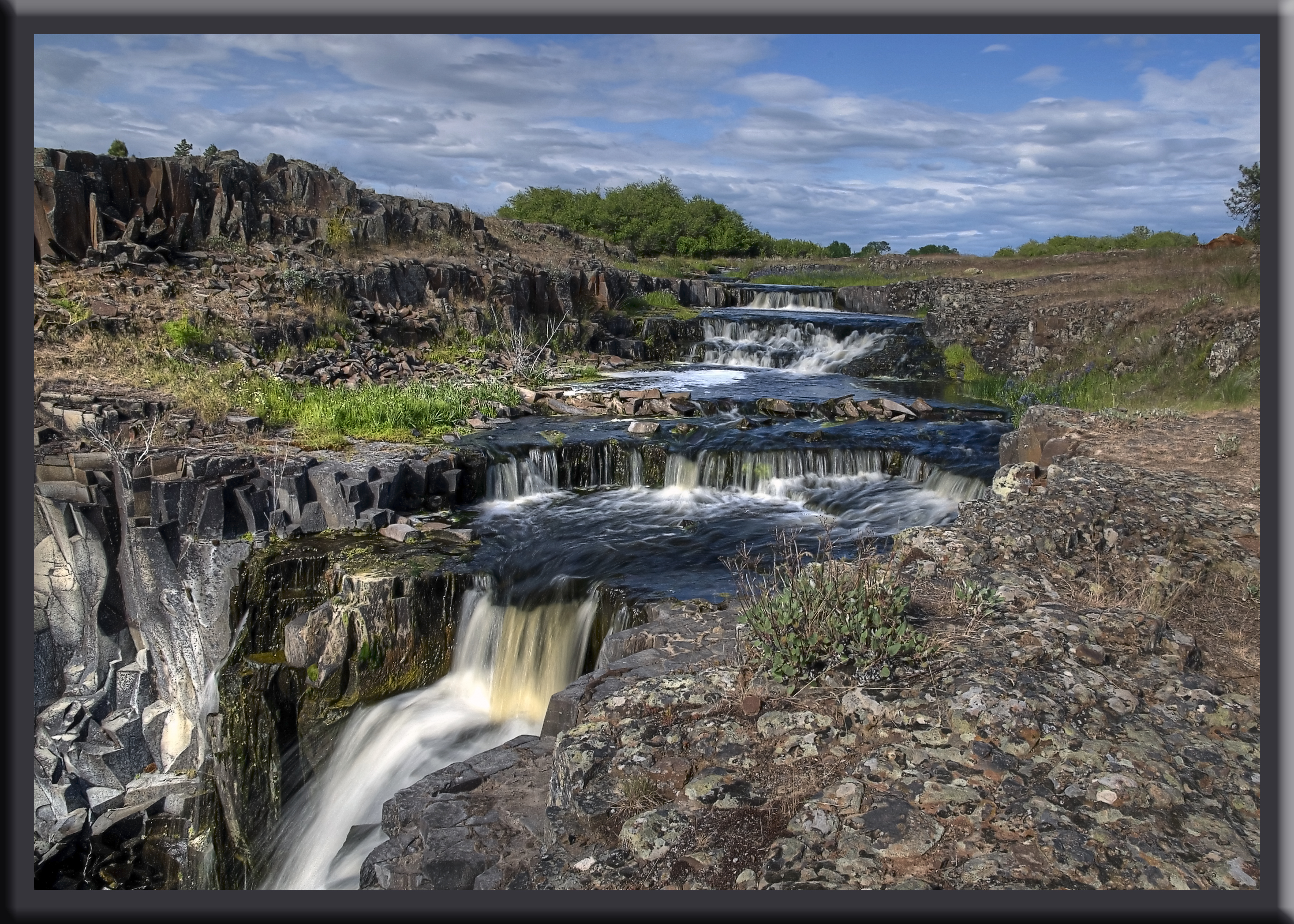
Hog Lake Falls

US Northwest
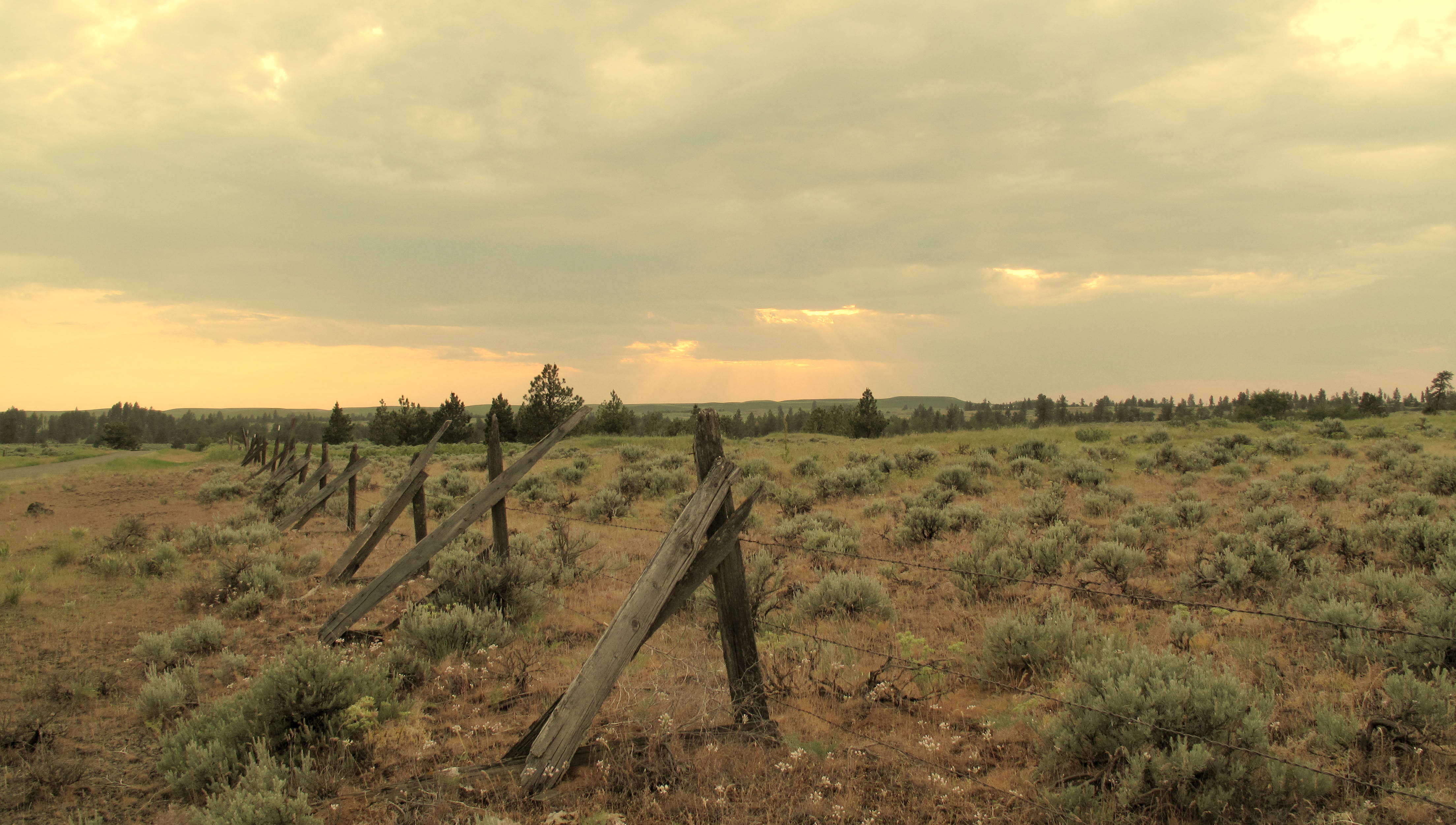
sagebrush. Eastern Washington
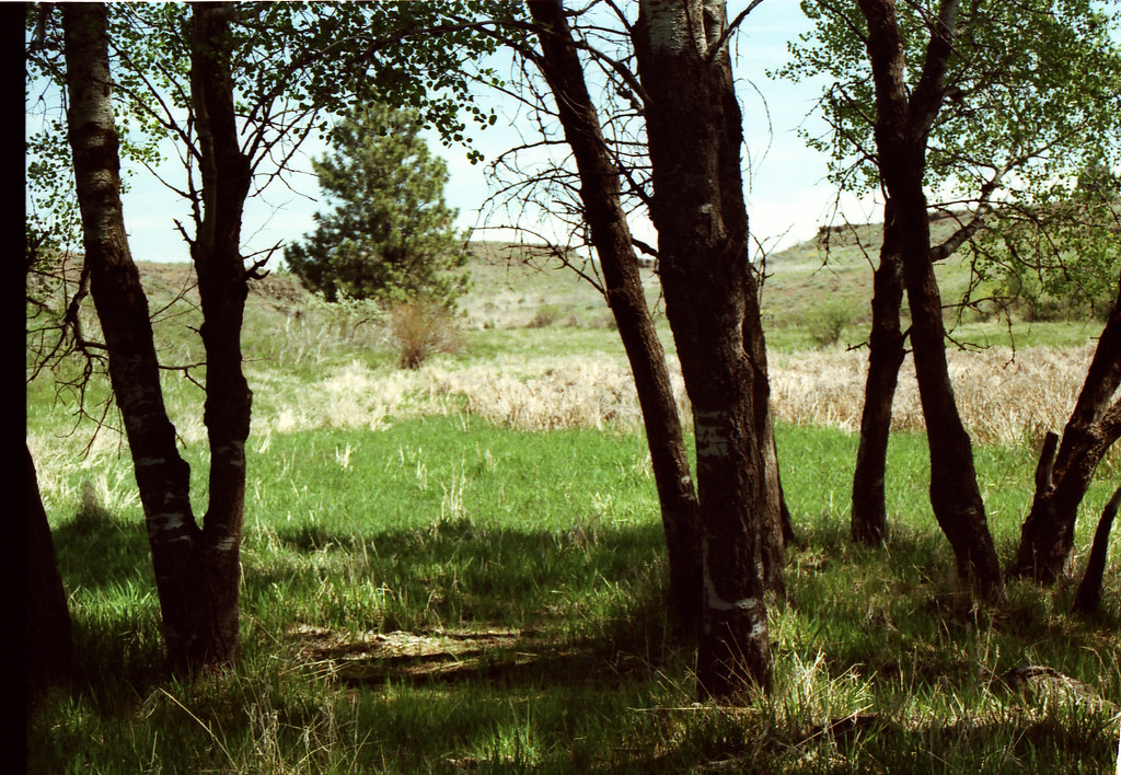
A Set of Trees
Williams Lake Eastern Washington State,
sagebrush. Eastern Washington
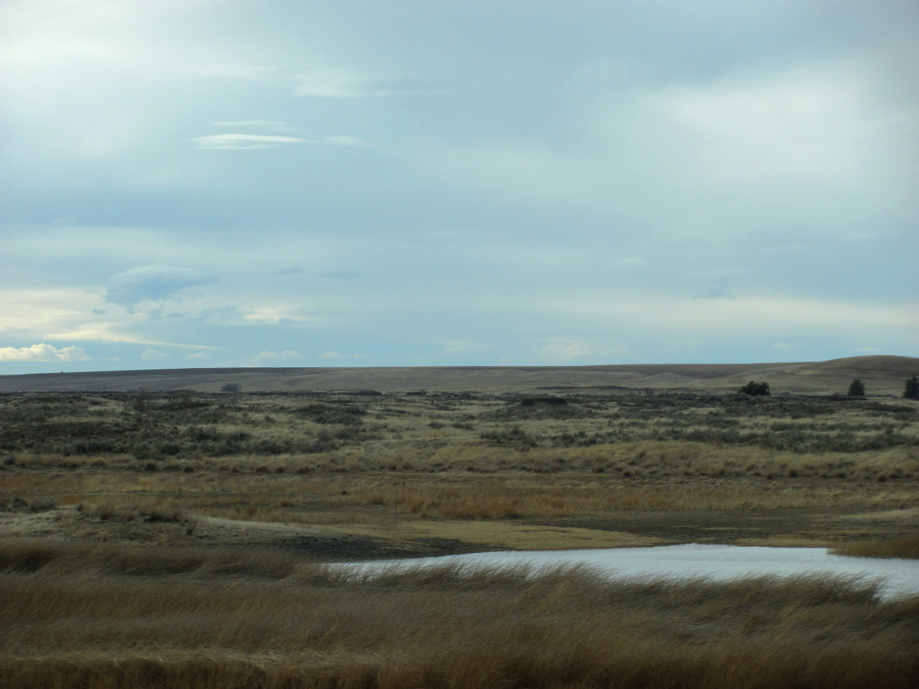
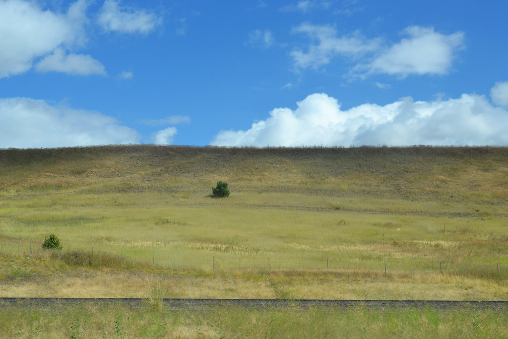
Eastern Washington
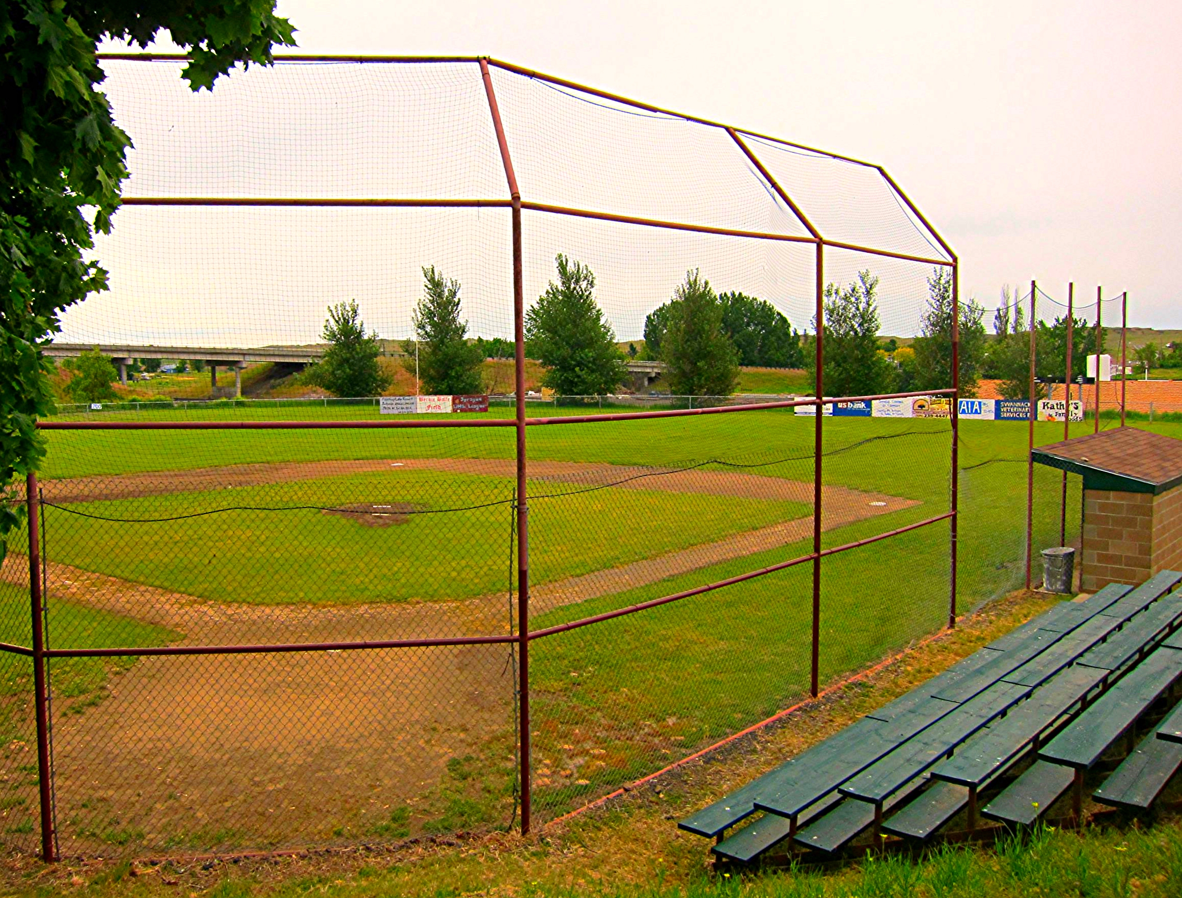
Baseball diamond, Sprague, Washington
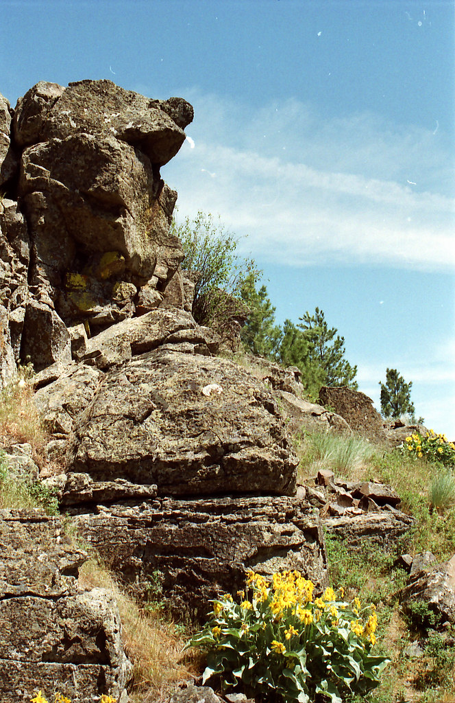
Rock Formations

Wavin' Hello
Day 3
Day 3
Topographic Map of Jack Brown Rd N, Sprague, WA, USA
Find elevation by address:

Places near Jack Brown Rd N, Sprague, WA, USA:
28220 W Tucker Prairie Rd
S Mullinix Rd, Cheney, WA, USA
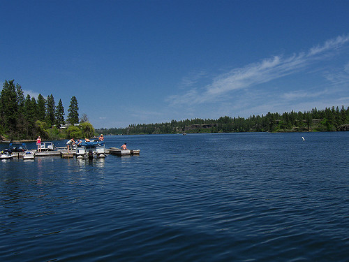
Klinks Williams Lake Resort
22515 W Malloy Prairie Rd
Telecky Rd E, Davenport, WA, USA
Medical Lake
Rock Lake Rifle Range
312 Holladay Dr
1107 N Wilcox St
1017 N Olson Hill Ct
Dubois Street
Eastern Washington University
Washington Street & Elm Street
Turnbull National Wildlife Refuge
Cheney
1st St, Cheney, WA, USA
621 Marcella Ave
Washington 23
W Broadway Ave, Reardan, WA, USA
Reardan
Recent Searches:
- Elevation of N 82nd Pl, Mesa, AZ, USA
- Elevation of Snake Hill Rd, North Scituate, RI, USA
- Elevation of Lake Shore Dr, Warwick, RI, USA
- Elevation of E Brightview Ave, Pittsburgh, PA, USA
- Elevation of Cavendish Rd, Harringay Ladder, London N4 1RR, UK
- Elevation of 1 Zion Park Blvd, Springdale, UT, USA
- Elevation of Ganderbal
- Elevation map of Konkan Division, Maharashtra, India
- Elevation of Netaji Nagar, Hallow Pul, Kurla, Mumbai, Maharashtra, India
- Elevation of Uralsk, Kazakhstan