Elevation of Izgrev, Bulgaria
Location: Bulgaria > Varna >
Longitude: 27.6935663
Latitude: 43.2989767
Elevation: 354m / 1161feet
Barometric Pressure: 97KPa
Elevation Map:
Satellite Map:
Related Photos:

P1050350.JPG

IMG_3301.JPG

View over Beloslav, 08.10.2014.

View to Varna, 08.10.2014.

View to Varna, 08.10.2014.

View over Beloslav, 08.10.2014.

View over Beloslav, 08.10.2014.
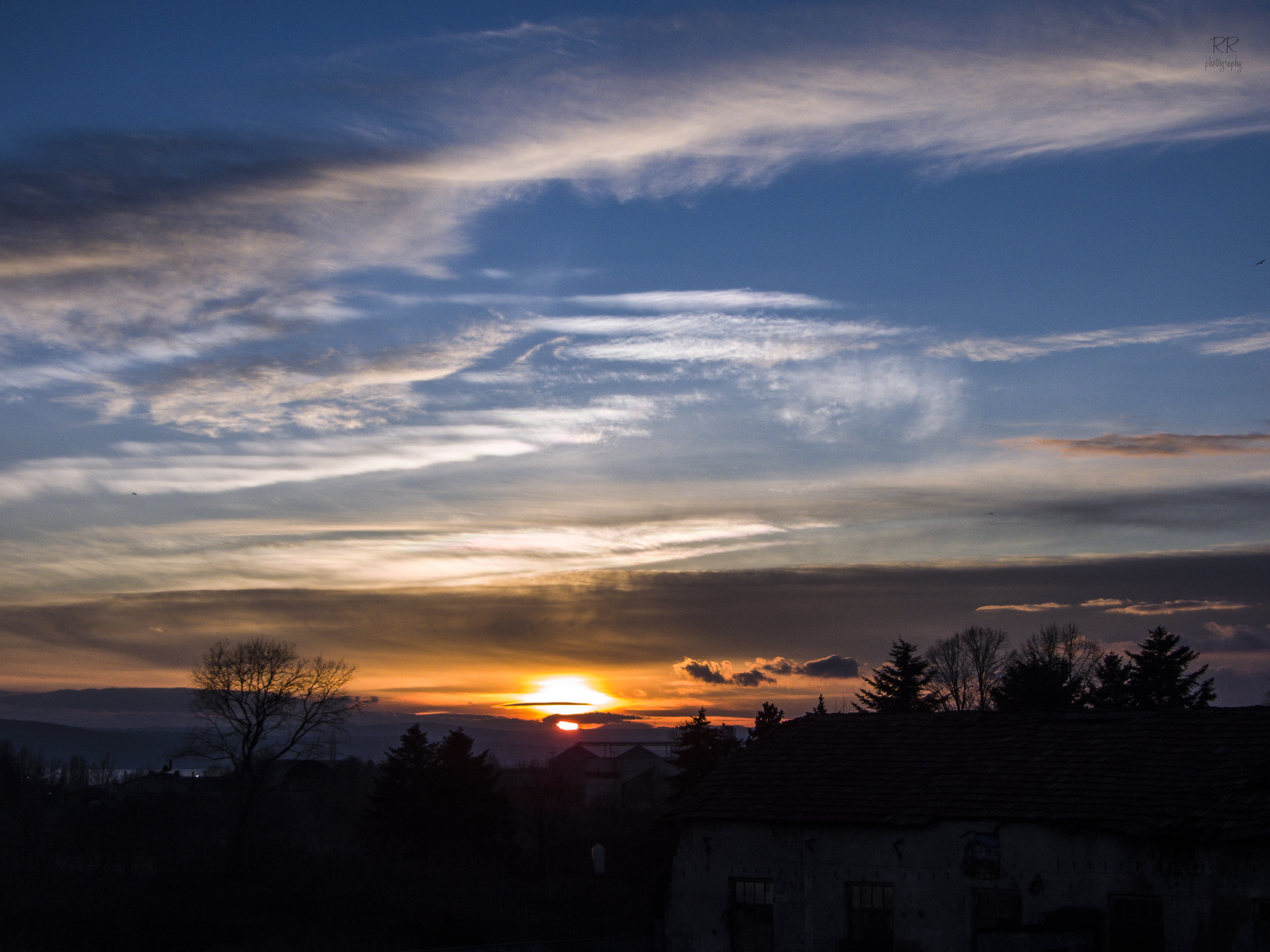
at sunset

The unexpected sunset

Varna - stone forest (14)

Varna - stone forest (13)

Varna - stone forest (12)

09.04.2013

Varna - stone forest columns

Varna - stone forest (5)

n a t u r e's d a n c e

Port of Varna - west at sunset

45159 Strashimirovo 23-05-17

Pobiti Kamani

2012-07-21-465

2012-07-21-461

2012-07-21-482

walk the line

Varna - stone forest (16)

The Stone Forest, Bulgaria

Bulgaria 2018
Topographic Map of Izgrev, Bulgaria
Find elevation by address:

Places near Izgrev, Bulgaria:
Banovo
Slanchevo
Pobitite Kamuni
The Stone Forest
Ignatievo
Beloslav
Topoli
Vladislavovo
Benkovski
Kamenar
Ul. "roza" 16
Varna
Varna
Ulitsa "karaagach"
bul. "3-ti Mart" 50, Dobrich, Bulgaria
Nova Shipka
Dobrich Province
Dolni Chiflik
E87, Varna, Bulgaria
Golden Sands
Recent Searches:
- Elevation of Spaceport America, Co Rd A, Truth or Consequences, NM, USA
- Elevation of Warwick, RI, USA
- Elevation of Fern Rd, Whitmore, CA, USA
- Elevation of 62 Abbey St, Marshfield, MA, USA
- Elevation of Fernwood, Bradenton, FL, USA
- Elevation of Felindre, Swansea SA5 7LU, UK
- Elevation of Leyte Industrial Development Estate, Isabel, Leyte, Philippines
- Elevation of W Granada St, Tampa, FL, USA
- Elevation of Pykes Down, Ivybridge PL21 0BY, UK
- Elevation of Jalan Senandin, Lutong, Miri, Sarawak, Malaysia