Elevation of Ivyshaw Dr, Gainesville, GA, USA
Location: United States > Georgia > Hall County > Gainesville >
Longitude: -83.970871
Latitude: 34.2929262
Elevation: 337m / 1106feet
Barometric Pressure: 97KPa
Elevation Map:
Satellite Map:
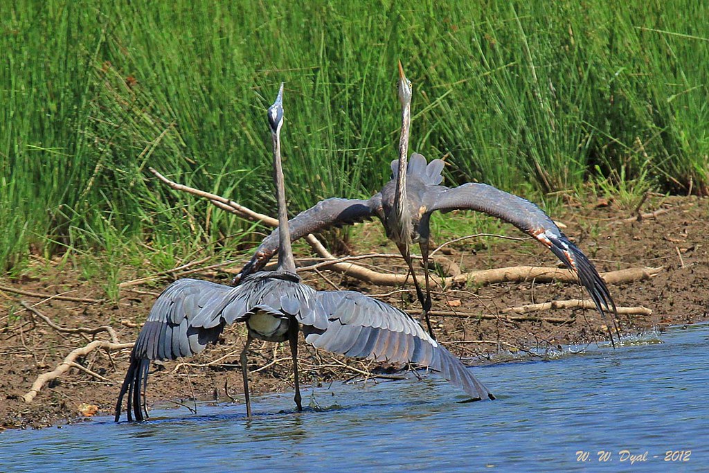
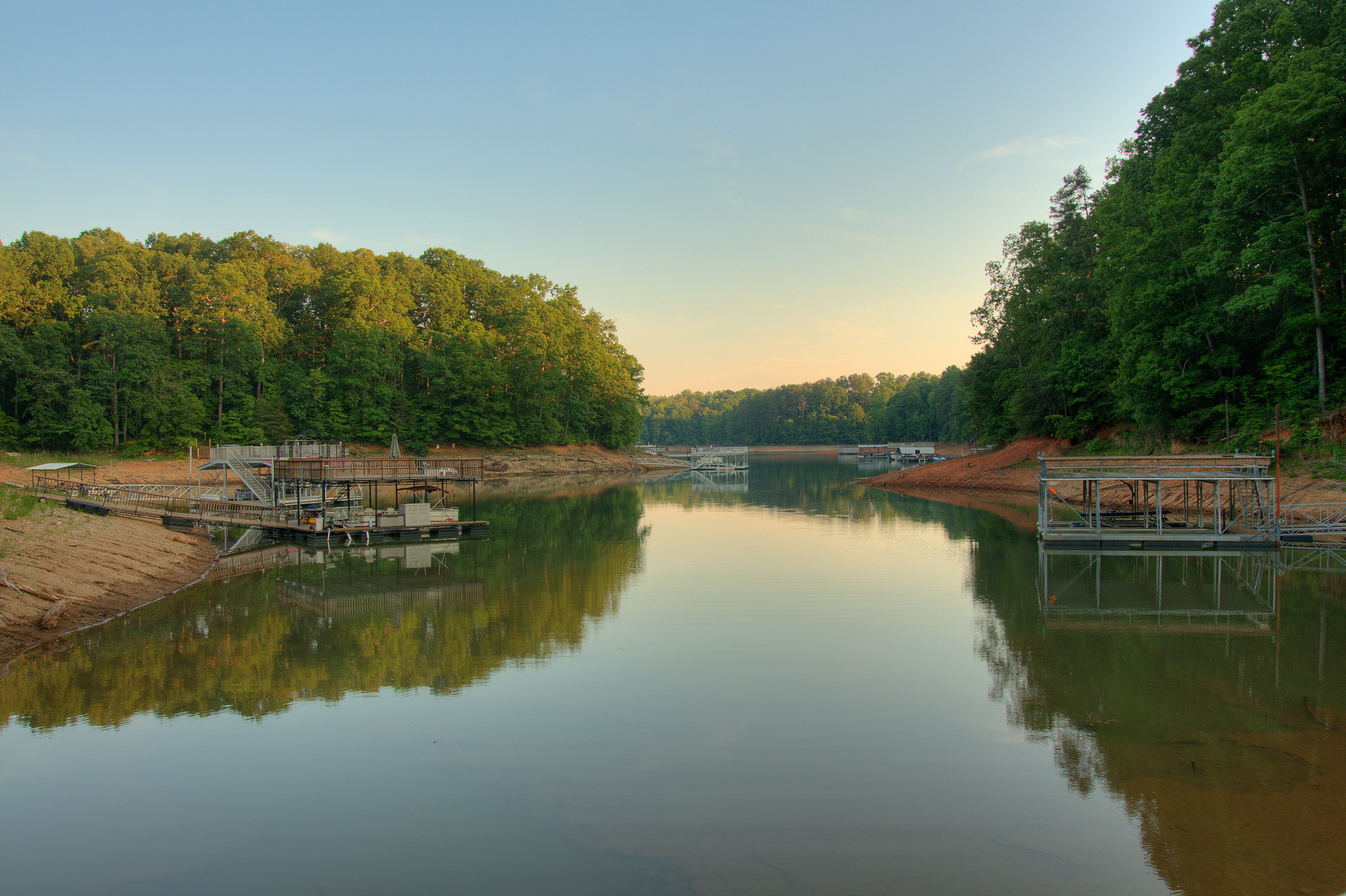
Related Photos:

Vanishing Point

The One Tree

I wish upon a star...

Favorite Sunset!

Sunset at Van Pugh Park
Shall We Dance, My Lady...

Puppy Love

Sunset on Lanier

Night Light

Perfect Calm

Fire in the Sky

Purple Passionflower

Let there be light

Sun Kiss

Wahoo Sunrise

Federal Sunset

Morning at War Hill

Spanning Glass

Breaking Storm

Assuasive Moments

IMG_0615-100401

Subtle Sunset

IMG_2332-100301

IMG_0643-100402

Heaven's Palette

Cold sunrise

Point Break

Tuesday evening sunset
Harris Creek on Lake Lanier
Topographic Map of Ivyshaw Dr, Gainesville, GA, USA
Find elevation by address:

Places near Ivyshaw Dr, Gainesville, GA, USA:
6909 Lakeside Pl
7395 Pea Ridge Rd
Bolding Mill
6340 Millwood Rd
Cherokee Trail
Cherokee Trail, Gainesville, GA, USA
6325 Marina Club Dr
6314 Old Dawsonville Rd
Jewell Cir, Gainesville, GA, USA
Cook Road
Leach Cir, Gainesville, GA, USA
3701 Cameron Cir
Cameron Cir, Gainesville, GA, USA
3400 Chestatee Rd
3114 Arrowhead Dr
30 Woodland Way
3357 Chestatee Rd
450 Robertson Rd
Thompson Creek Park
Rock Ridge Dr, Gainesville, GA, USA
Recent Searches:
- Elevation of Mountain View, CA, USA
- Elevation of Foligno, Province of Perugia, Italy
- Elevation of Blauwestad, Netherlands
- Elevation of Bella Terra Blvd, Estero, FL, USA
- Elevation of Estates Loop, Priest River, ID, USA
- Elevation of Woodland Oak Pl, Thousand Oaks, CA, USA
- Elevation of Brownsdale Rd, Renfrew, PA, USA
- Elevation of Corcoran Ln, Suffolk, VA, USA
- Elevation of Mamala II, Sariaya, Quezon, Philippines
- Elevation of Sarangdanda, Nepal