Elevation of Ivy Township, AR, USA
Location: United States > Arkansas > Franklin County >
Longitude: -93.998048
Latitude: 35.488826
Elevation: 154m / 505feet
Barometric Pressure: 99KPa
Elevation Map:
Satellite Map:
Related Photos:

Mt Zion Church

View of the Mulberry River from Silver Bridge
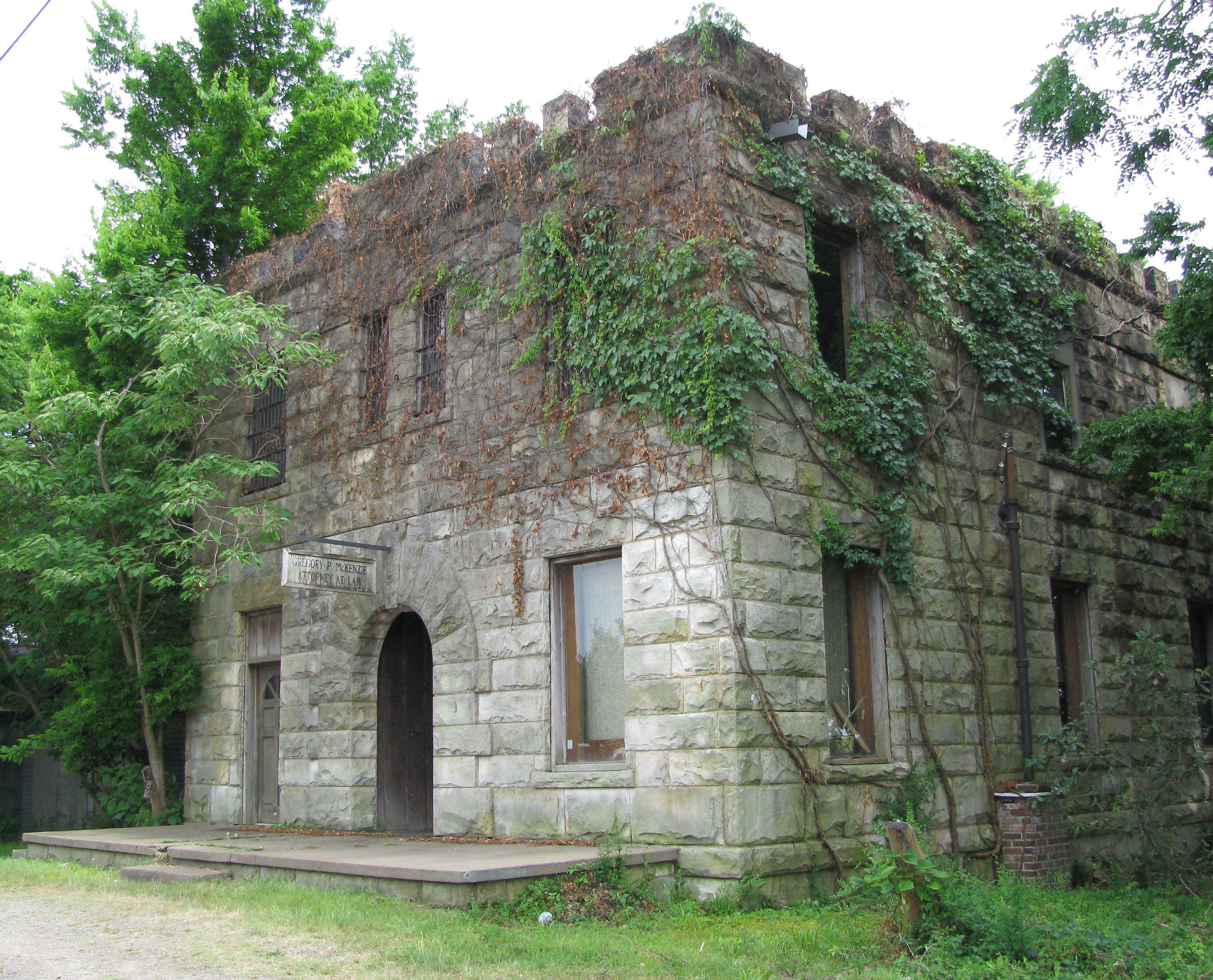
Attorney at Law
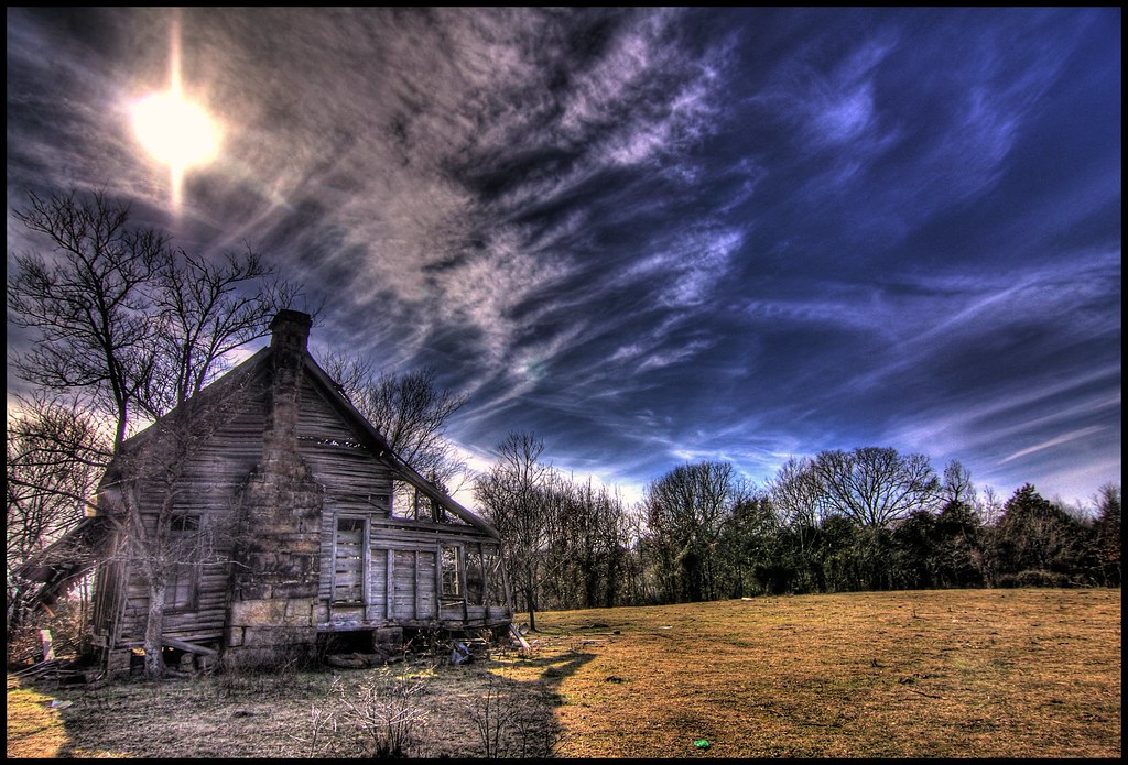
nobody there

Red Roof

Sunflowers signal the arrival of summer
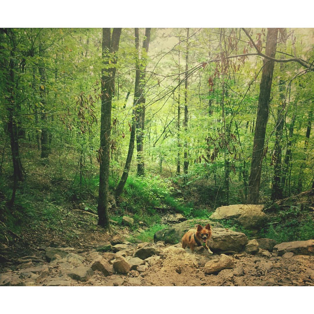
Buckaroo in the forest #mextures #naturelovers #ozarknationalforest #ozarkmountains
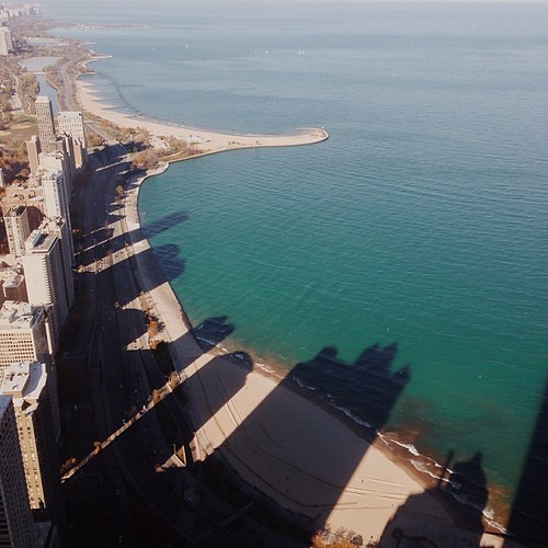
I wonder if the fish know what the dark areas are? Or if the even realize busy people are up there doing busy-work? #chitown #vscocam

Shores Lake-6

"My" Pool 1

20081225_0246.jpg
Topographic Map of Ivy Township, AR, USA
Find elevation by address:

Places in Ivy Township, AR, USA:
Places near Ivy Township, AR, USA:
7347 Hickory Ridge Rd
5318 Us-64
N Main St, Mulberry, AR, USA
Mulberry
Scenic View Drive
Mulberry
Cecil
15620 Maxey Hill Rd
934 Mulberry Wire Rd
Grover Township
2214 Mantooth Rd
Wire Rd, Ozark, AR, USA
Hurricane Township
Piney Rd, Mulberry, AR, USA
Miller Township
AR-, Charleston, AR, USA
Barham
Pendergrass Cattle Co Inc
Washington, Alma, AR, USA
Dyer
Recent Searches:
- Elevation of 6 Rue Jules Ferry, Beausoleil, France
- Elevation of Sattva Horizon, 4JC6+G9P, Vinayak Nagar, Kattigenahalli, Bengaluru, Karnataka, India
- Elevation of Great Brook Sports, Gold Star Hwy, Groton, CT, USA
- Elevation of 10 Mountain Laurels Dr, Nashua, NH, USA
- Elevation of 16 Gilboa Ln, Nashua, NH, USA
- Elevation of Laurel Rd, Townsend, TN, USA
- Elevation of 3 Nestling Wood Dr, Long Valley, NJ, USA
- Elevation of Ilungu, Tanzania
- Elevation of Yellow Springs Road, Yellow Springs Rd, Chester Springs, PA, USA
- Elevation of Rēzekne Municipality, Latvia