Elevation map of Ituiutaba - State of Minas Gerais, Brazil
Location: Brazil > State Of Minas Gerais >
Longitude: -49.464392
Latitude: -18.977657
Elevation: 569m / 1867feet
Barometric Pressure: 95KPa
Elevation Map:
Satellite Map:
Related Photos:
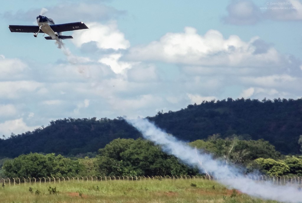
PT-ZOI - Van's RV-7A

Ituiutaba - MG
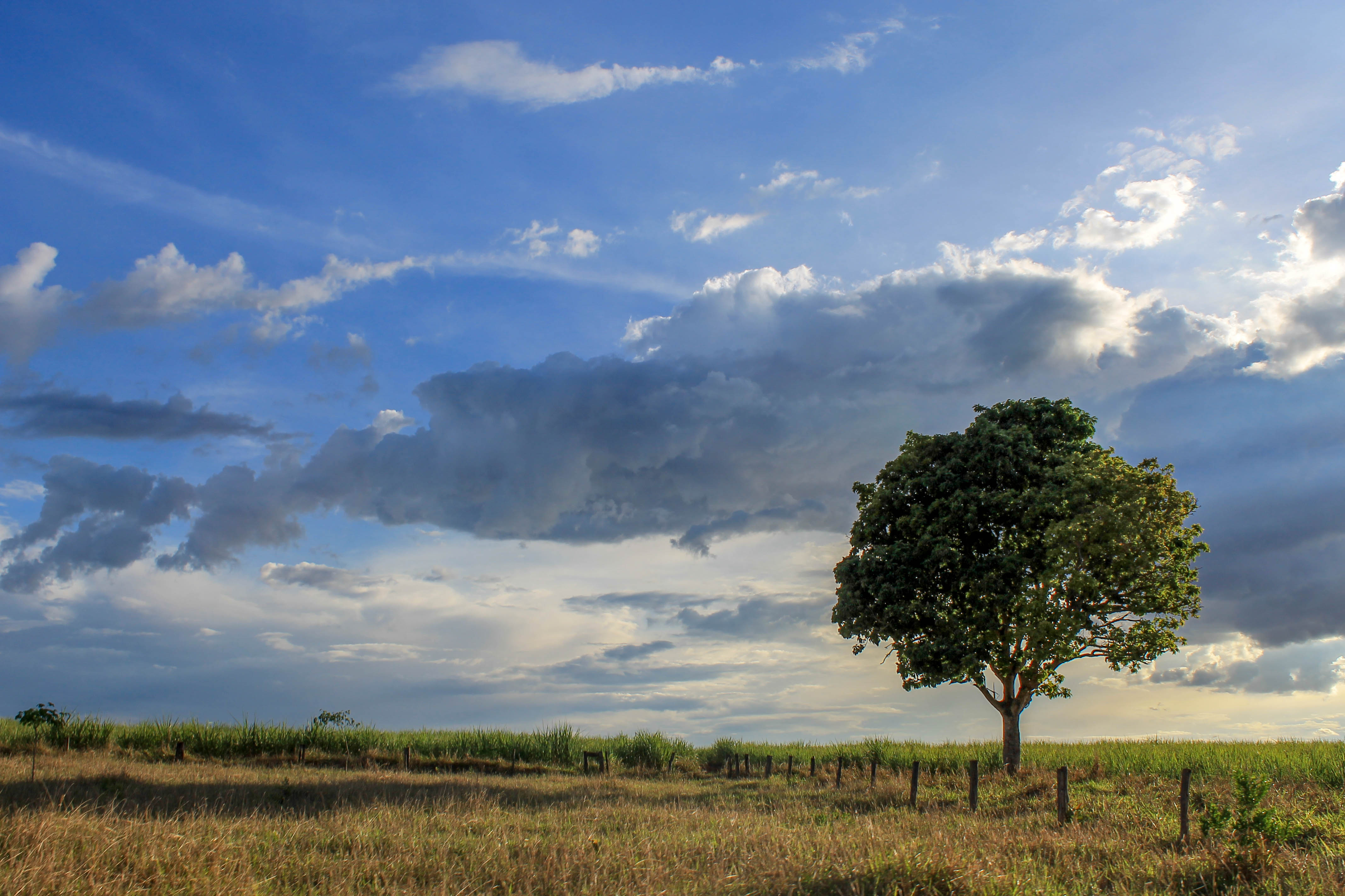
Ituiutaba - MG
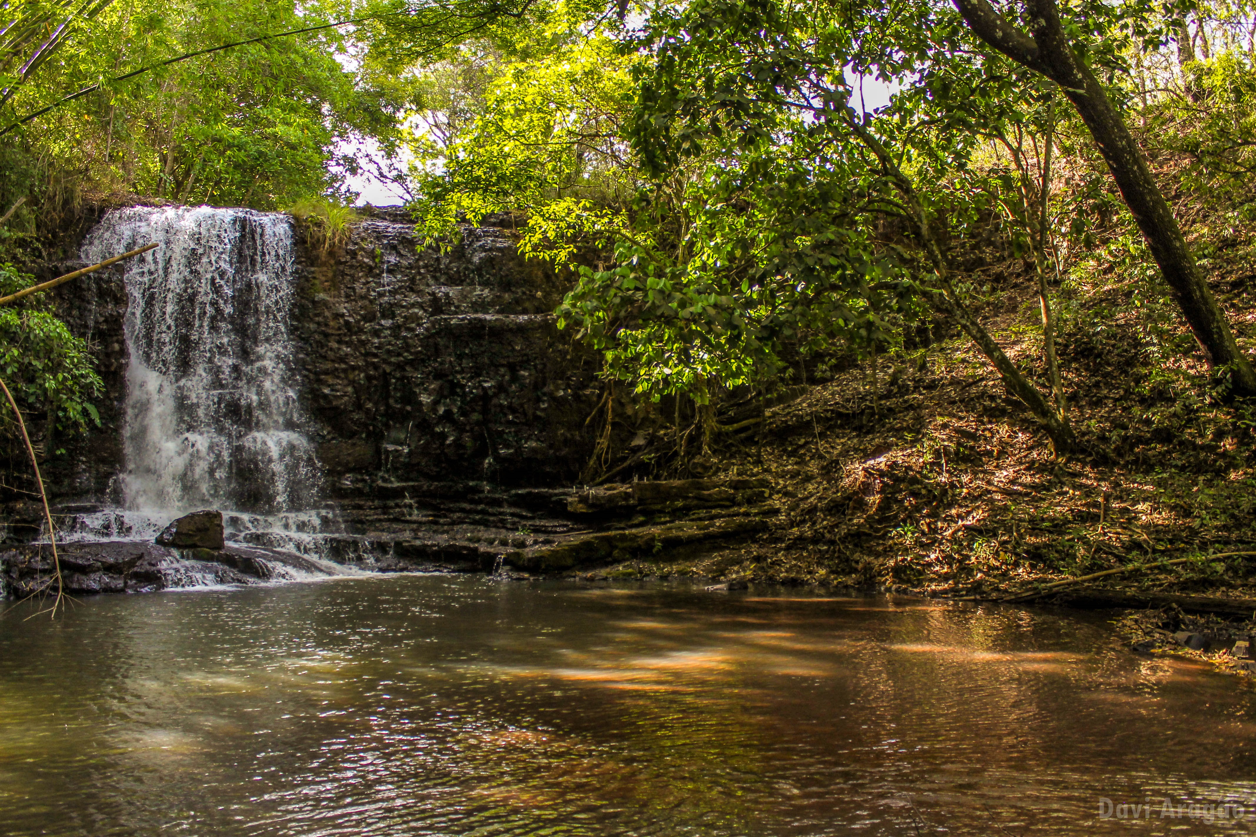
Renovando a alma

PT-RSG - Embraer EMB-710D Carioca

Ponte Velha - Ituiutaba, MG.
Ponte Velha - Ituiutaba, MG.

Ponte Velha - Ituiutaba, MG.

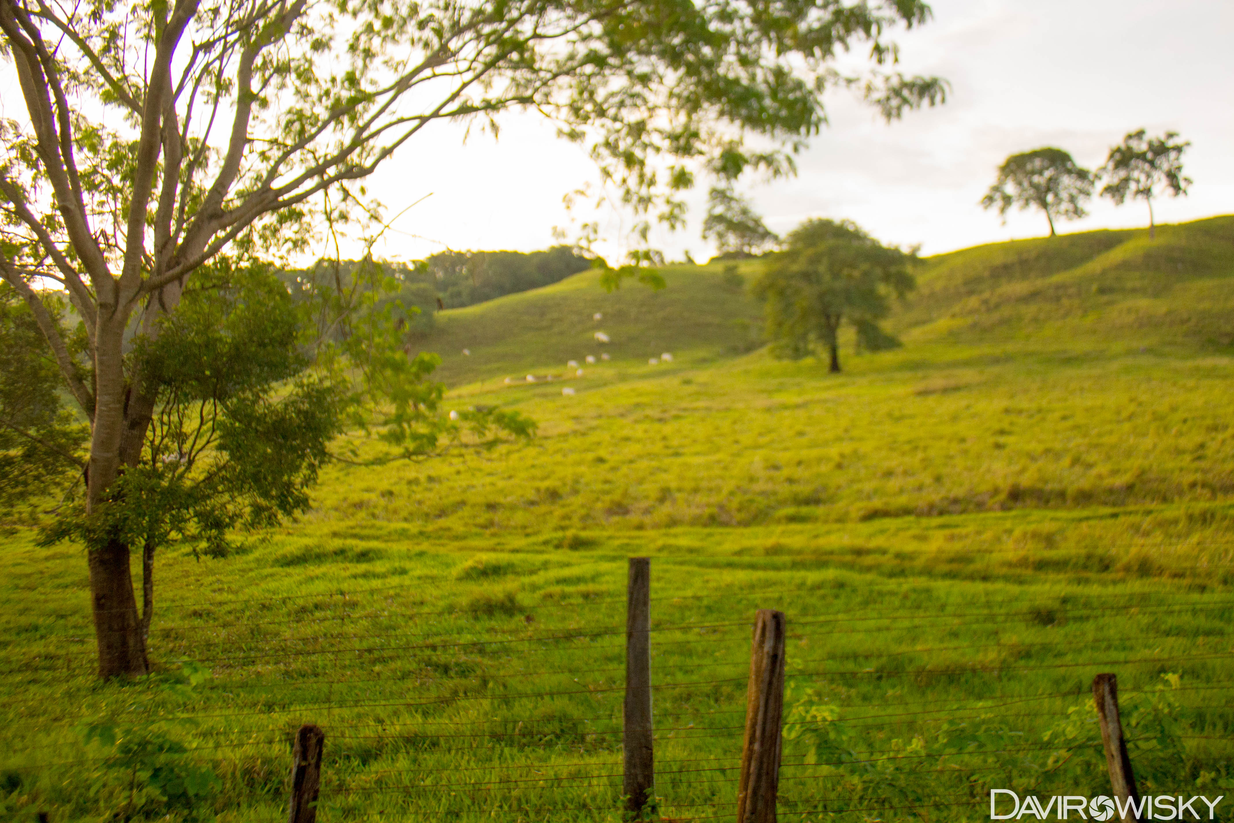
Sobre a Comunidade Vida Missão: SENSACIONAL!!
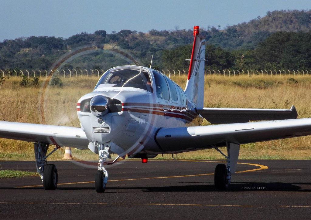
PR-MVS - Raytheon Beechcraft Bonanza A36

PR-MVS - Raytheon Beechcraft Bonanza A36
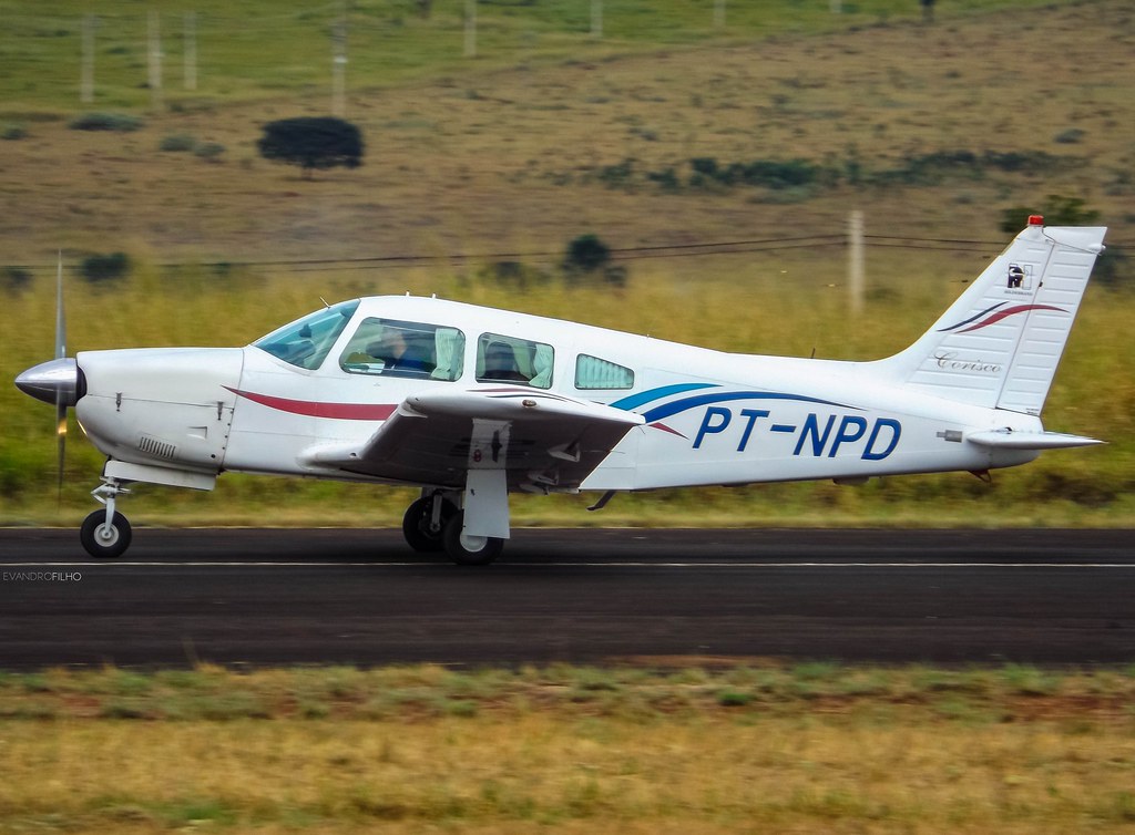
PT-NPD - Embraer EMB-711C Corisco

PT-NPD - Embraer EMB-711C Corisco
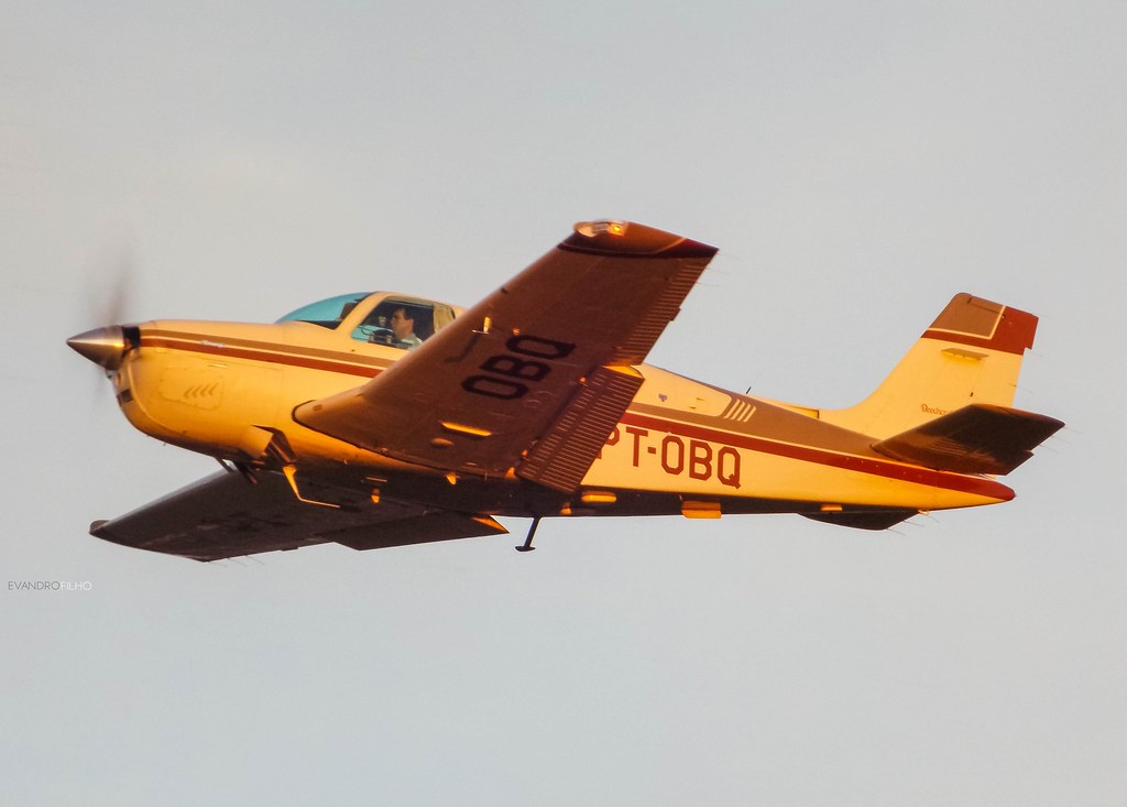
PT-OBQ - Beechcraft Bonanza F33A
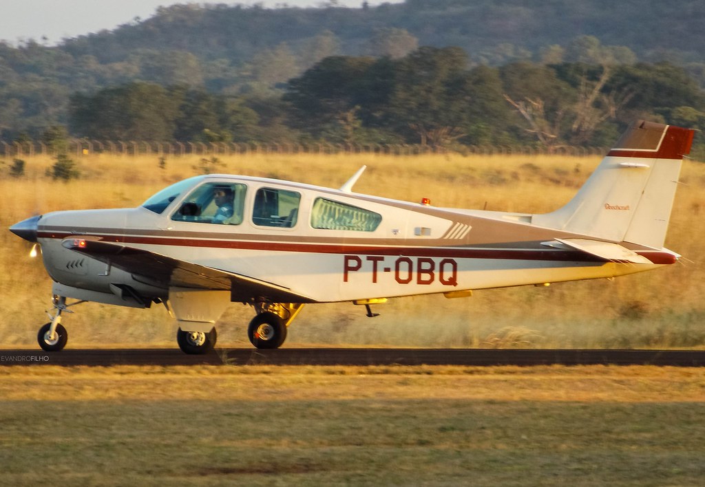
PT-OBQ - Beechcraft Bonanza F33A
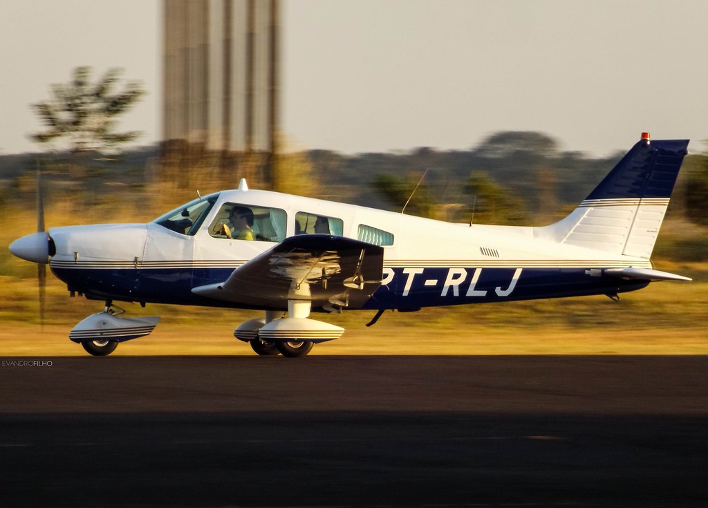
PT-RLJ - Embraer EMB-712 Tupi

PR-ZJY - Van's RV-10

PR-HUG - Cessna 172N Skyhawk
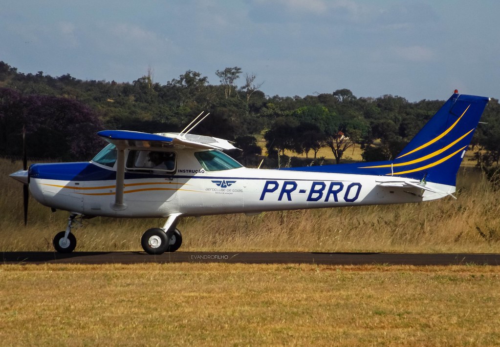
PR-BRO - Cessna 152

PR-HUG - Cessna 172N Skyhawk

Cessnas of Aeroclube de Goiás
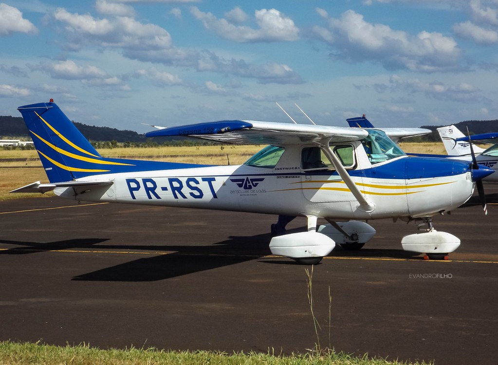
PR-RST - Cessna 150L

PR-BRO - Cessna 152

PR-HUG - Cessna 172N Skyhawk

PR-HUG - Cessna 172N Skyhawk
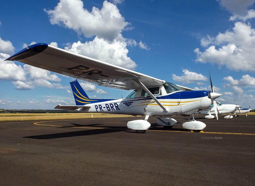
PR-BRR - Cessna 152

PR-BRR - Cessna 152

PR-RDJ - Cessna 210L Centurion II

PT-OLL - Beechcraft Baron 58
Topographic Map of Ituiutaba - State of Minas Gerais, Brazil
Find elevation by address:

Places in Ituiutaba - State of Minas Gerais, Brazil:
Places near Ituiutaba - State of Minas Gerais, Brazil:
Recent Searches:
- Elevation of 3 Nestling Wood Dr, Long Valley, NJ, USA
- Elevation of Ilungu, Tanzania
- Elevation of Yellow Springs Road, Yellow Springs Rd, Chester Springs, PA, USA
- Elevation of Rēzekne Municipality, Latvia
- Elevation of Plikpūrmaļi, Vērēmi Parish, Rēzekne Municipality, LV-, Latvia
- Elevation of 2 Henschke Ct, Caboolture QLD, Australia
- Elevation of Redondo Ave, Long Beach, CA, USA
- Elevation of Sadovaya Ulitsa, 20, Rezh, Sverdlovskaya oblast', Russia
- Elevation of Ulitsa Kalinina, 79, Rezh, Sverdlovskaya oblast', Russia
- Elevation of 72-31 Metropolitan Ave, Middle Village, NY, USA