Elevation map of Itasca County, MN, USA
Location: United States > Minnesota >
Longitude: -93.568365
Latitude: 47.5507924
Elevation: 424m / 1391feet
Barometric Pressure: 96KPa
Elevation Map:
Satellite Map:
Related Photos:
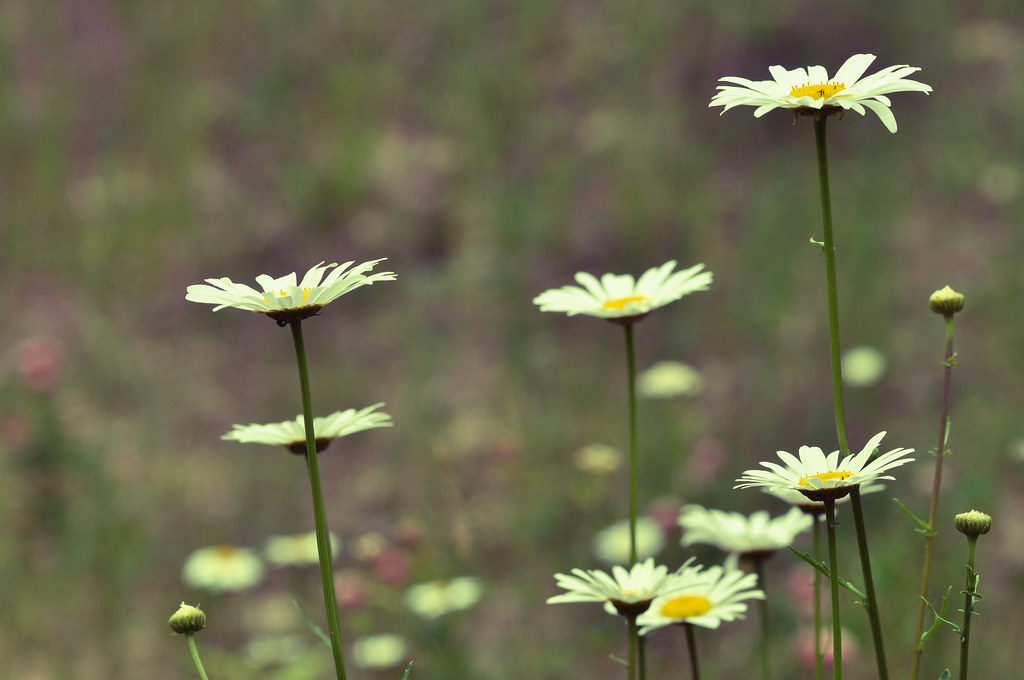
In a Field
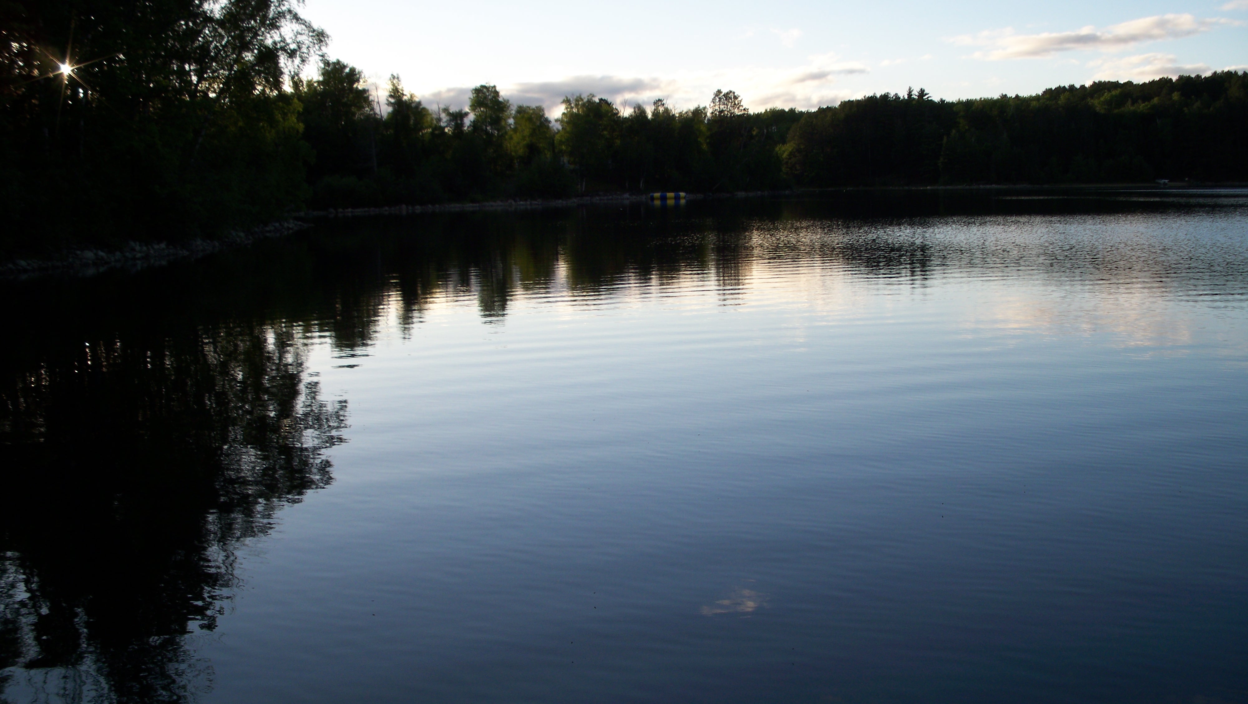
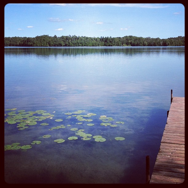
View from dock to the NE
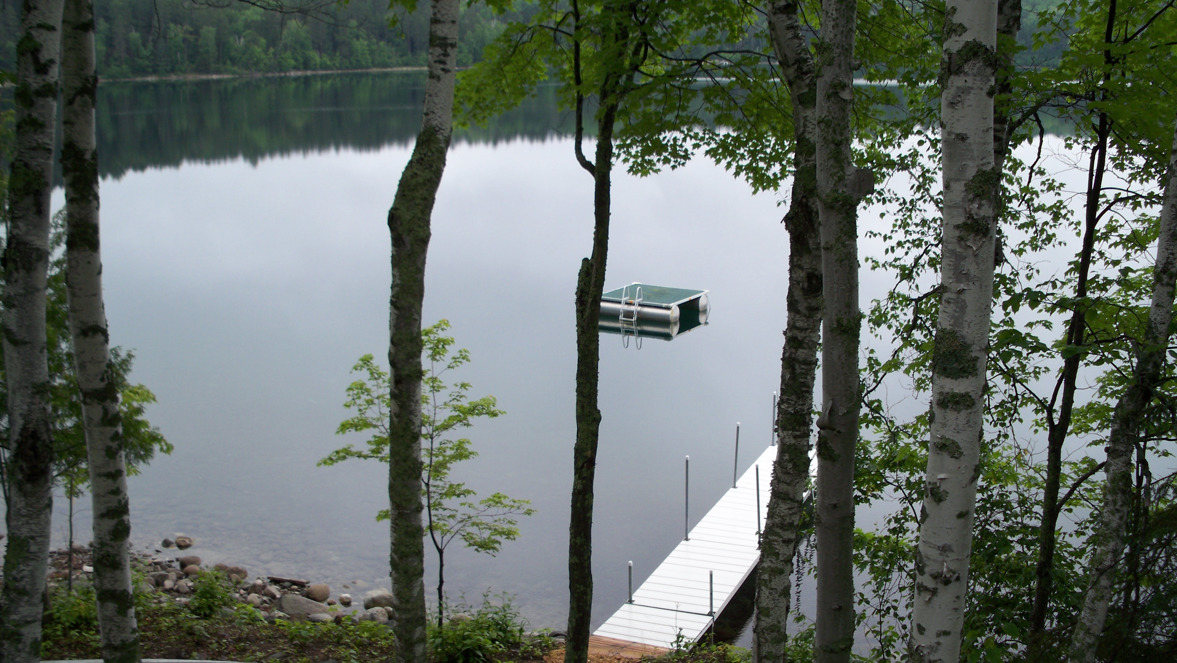
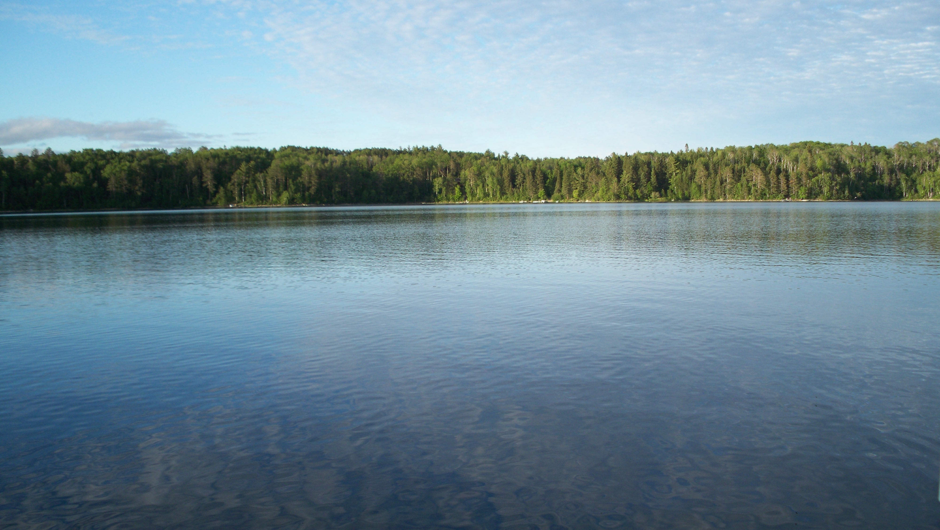
View from deck of lake
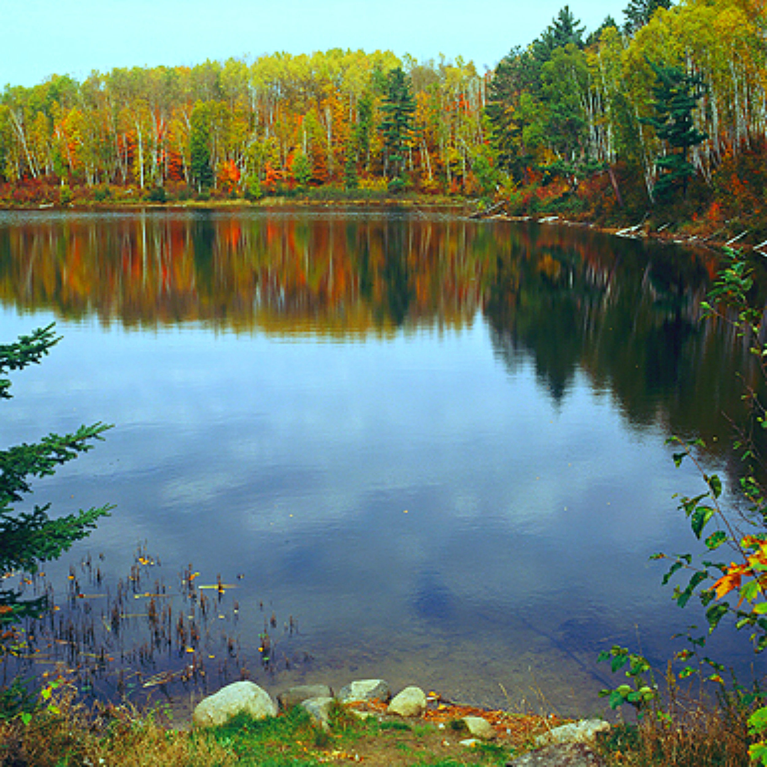
*** Autumn on Surprise Lake ***
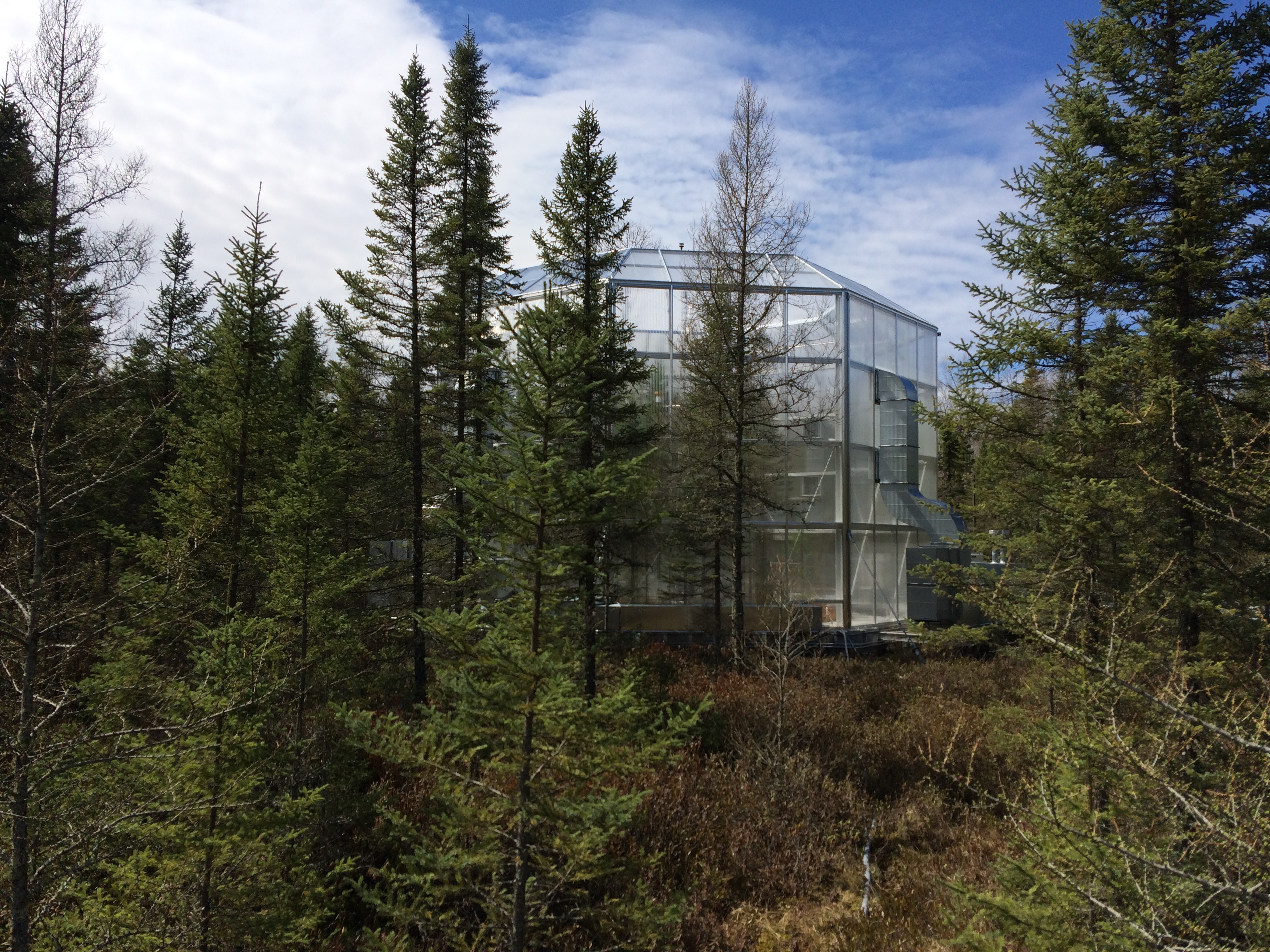
soils16-wetland soils field day (56) marcell spruce chamber outside

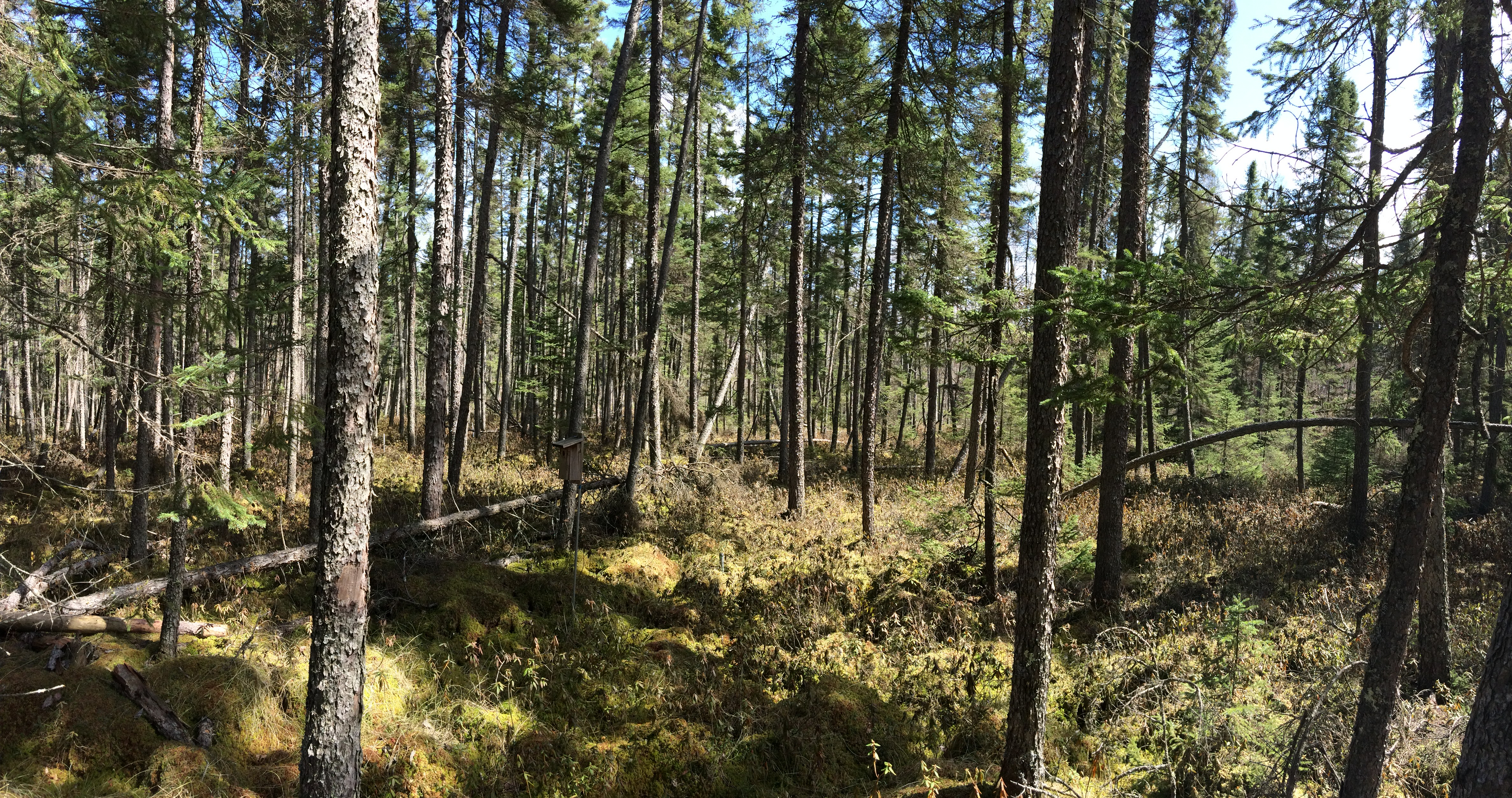
soils16-wetland soils field day (52) marcell s2 bog

Big Turtle Lake

Sunset on the dock looking South
Lake Bluewater
Sunset on the dock looking ESE
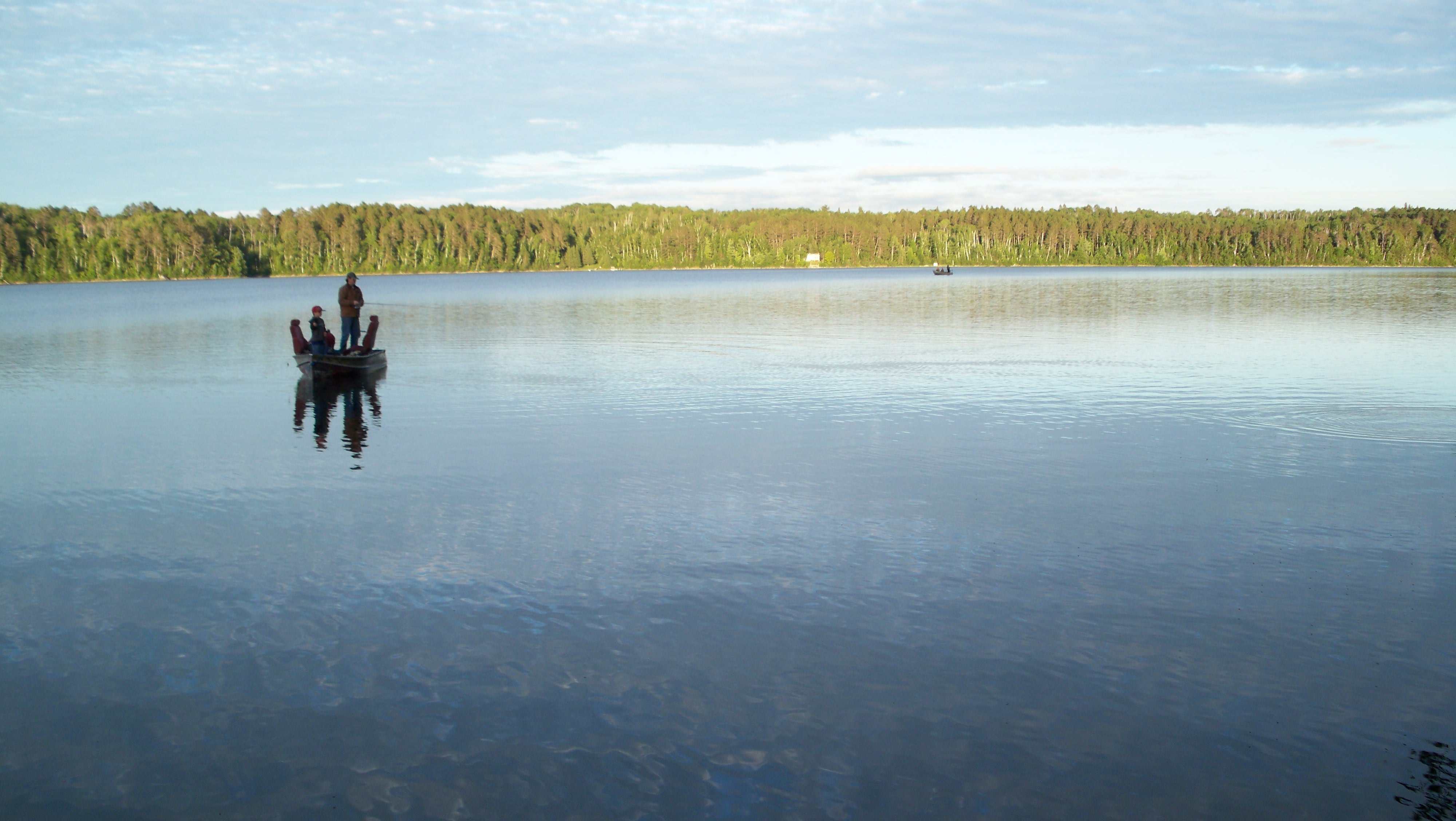
Sunset fishing on Caribou Lake
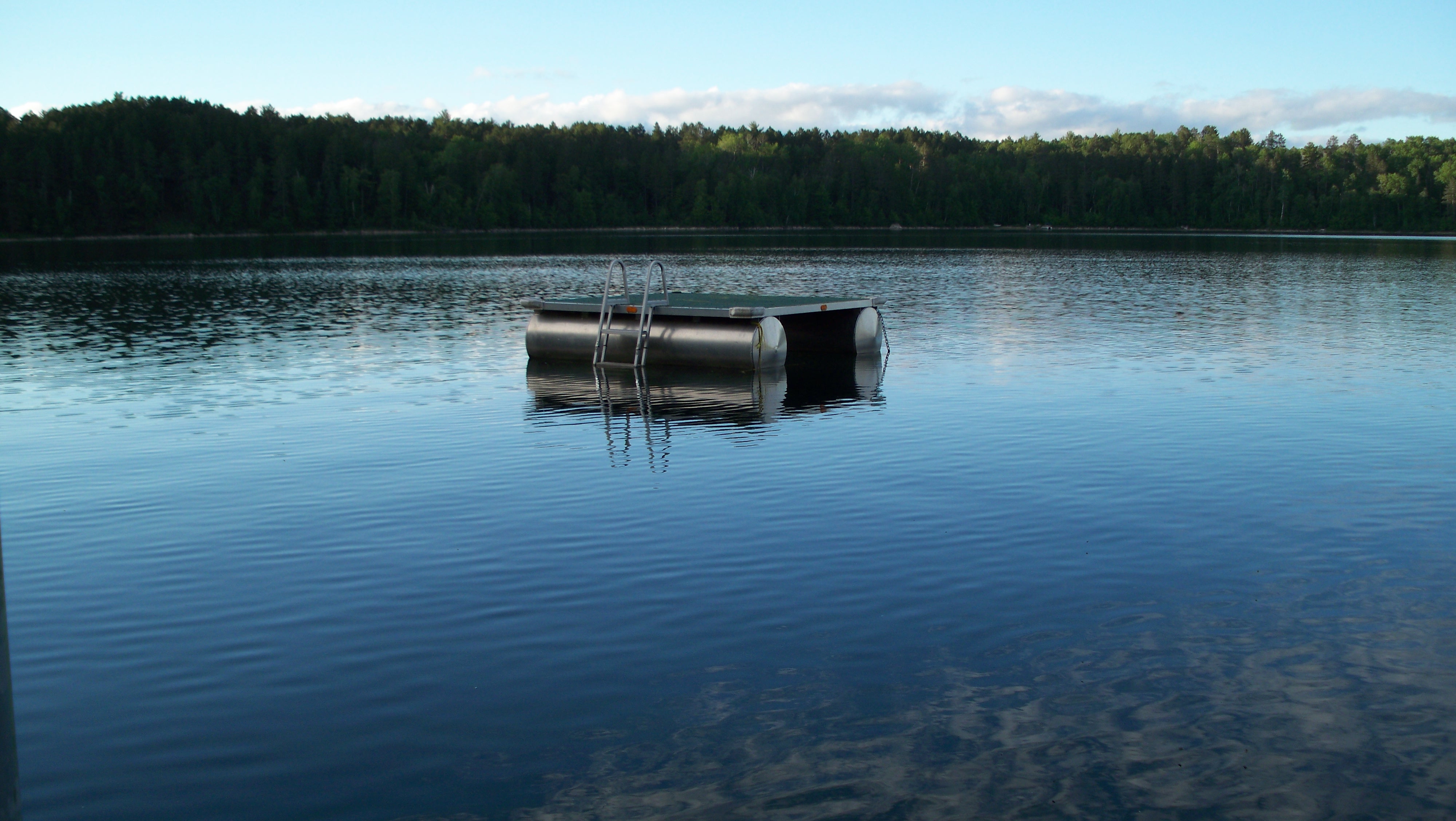
Swim Raft at Brands Caribou Lake house

20131020 140052_WP_pano_0007-p
soils16-wetland soils field day (49) marcell s2 bog pano
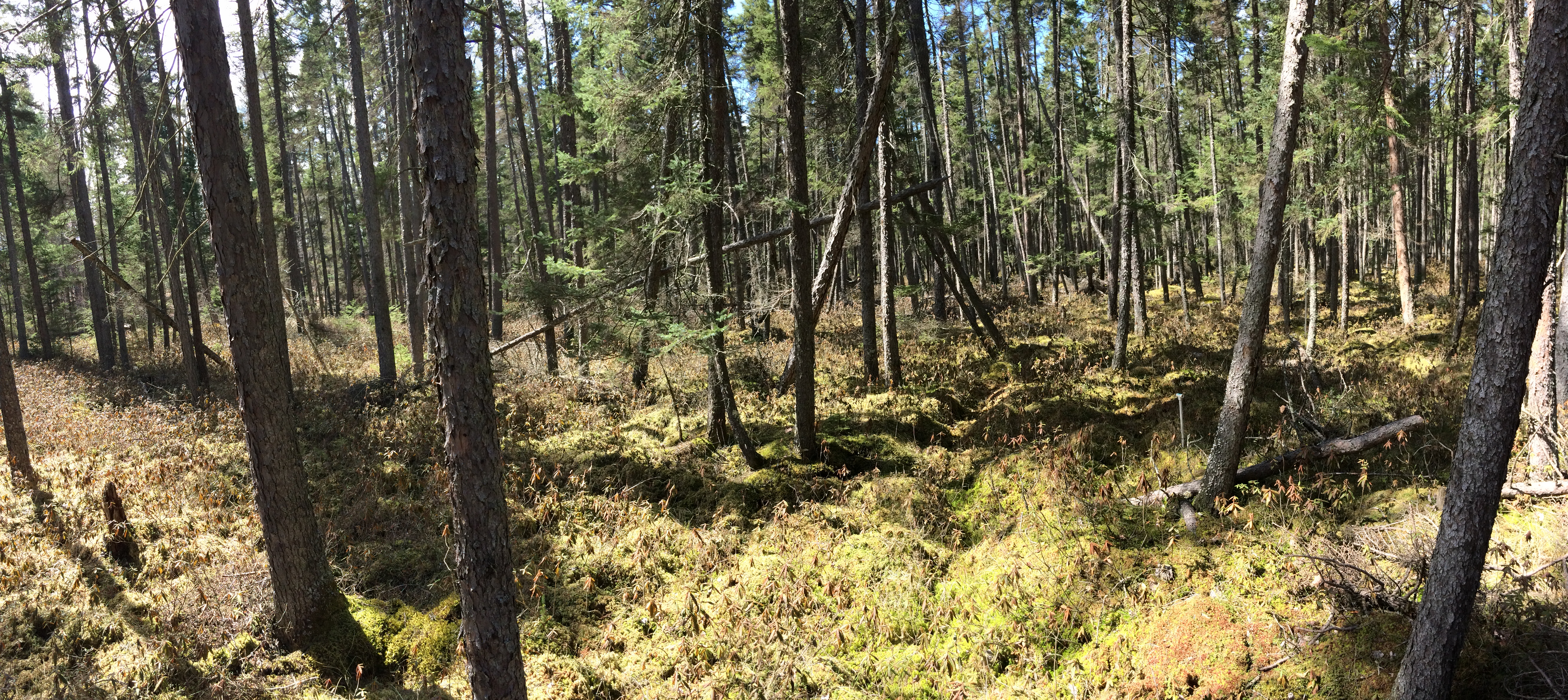
soils16-wetland soils field day (50) marcell s2 bog pano brighter
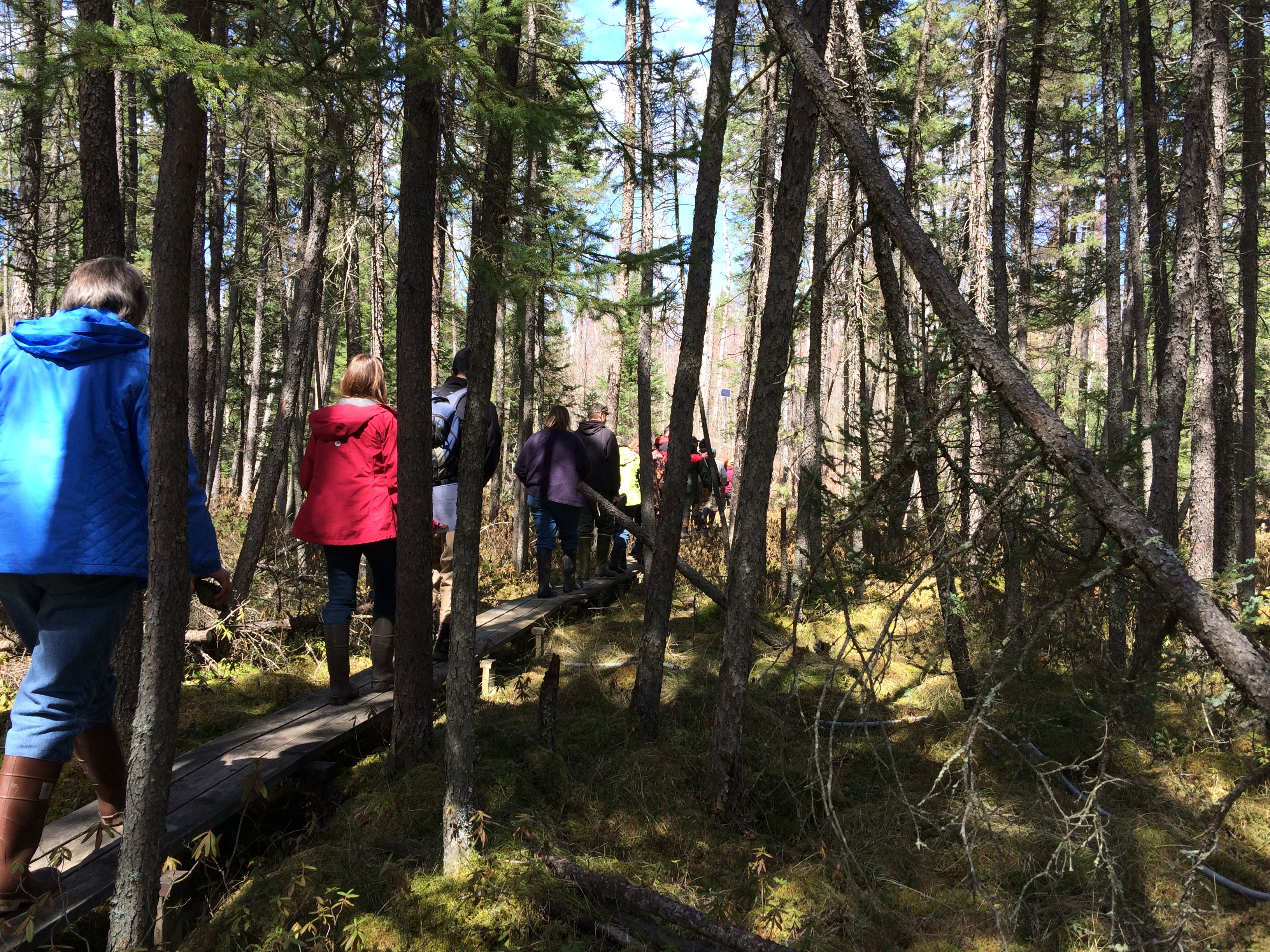
soils16-wetland soils field day (51) marcell s2 bog group on boardwalk
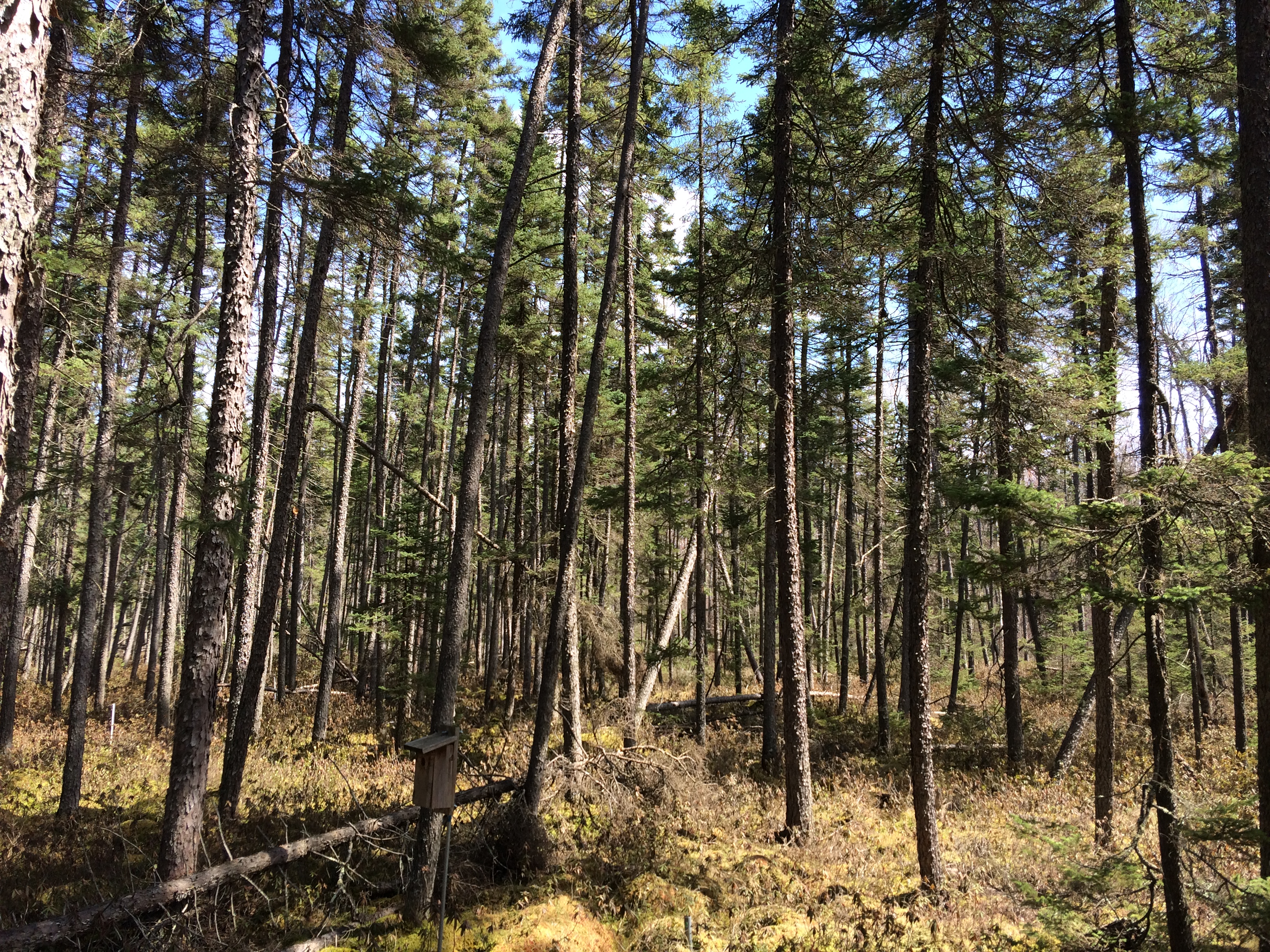
soils16-wetland soils field day (48) marcell s2 bog
Topographic Map of Itasca County, MN, USA
Find elevation by address:

Places in Itasca County, MN, USA:
Grand Rapids Township
Greenway Township
Alvwood Township
Ardenhurst Township
Bowstring Lake
Bovey
Stokes Township
29 Nelson St, Taconite, MN, USA
Lake St, Warba, MN, USA
Co Rd 30, Northome, MN, USA
Co Rd 4, Talmoon, MN, USA
Central Ave, Nashwauk, MN, USA
Co Rd 4, Spring Lake, MN, USA
Jackson Rd, Wirt, MN, USA
Bigfork
Little Moose Lake
Grand Rapids, MN, USA
Marcell Township
Lawrence Township
Effie
Places near Itasca County, MN, USA:
Marcell Township
Turtle Lake
Stokes Township
Bello Lake
Talmoon
Bigfork
Lawrence Township
35679 Scenic Hwy
Co Rd 4, Talmoon, MN, USA
2nd St, Bovey, MN, USA
Bovey
Grand Rapids Township
29 Nelson St, Taconite, MN, USA
Forest Lake Motel
Grand Rapids
2208 Martin St
SW 5th St, Grand Rapids, MN, USA
La Prairie
La Prairie Ave, Grand Rapids, MN, USA
Gunn Rd, Grand Rapids, MN, USA
Recent Searches:
- Elevation of Corso Fratelli Cairoli, 35, Macerata MC, Italy
- Elevation of Tallevast Rd, Sarasota, FL, USA
- Elevation of 4th St E, Sonoma, CA, USA
- Elevation of Black Hollow Rd, Pennsdale, PA, USA
- Elevation of Oakland Ave, Williamsport, PA, USA
- Elevation of Pedrógão Grande, Portugal
- Elevation of Klee Dr, Martinsburg, WV, USA
- Elevation of Via Roma, Pieranica CR, Italy
- Elevation of Tavkvetili Mountain, Georgia
- Elevation of Hartfords Bluff Cir, Mt Pleasant, SC, USA