Elevation of Ishizuchō, Matsusaka-shi, Mie-ken -, Japan
Location: Japan > Mie Prefecture > Matsusaka >
Longitude: 136.541210
Latitude: 34.5865651
Elevation: 5m / 16feet
Barometric Pressure: 101KPa
Elevation Map:
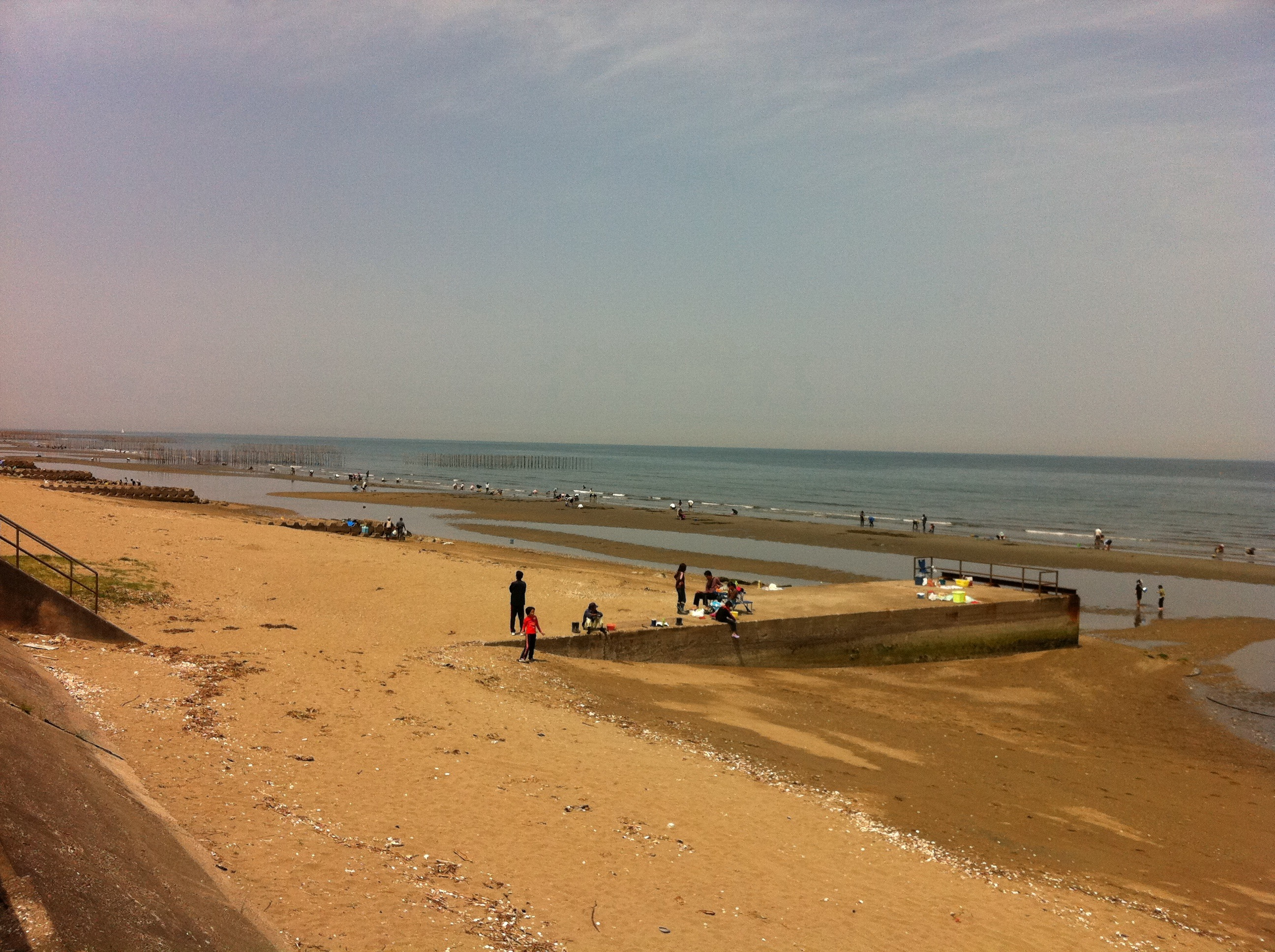
Satellite Map:
Related Photos:
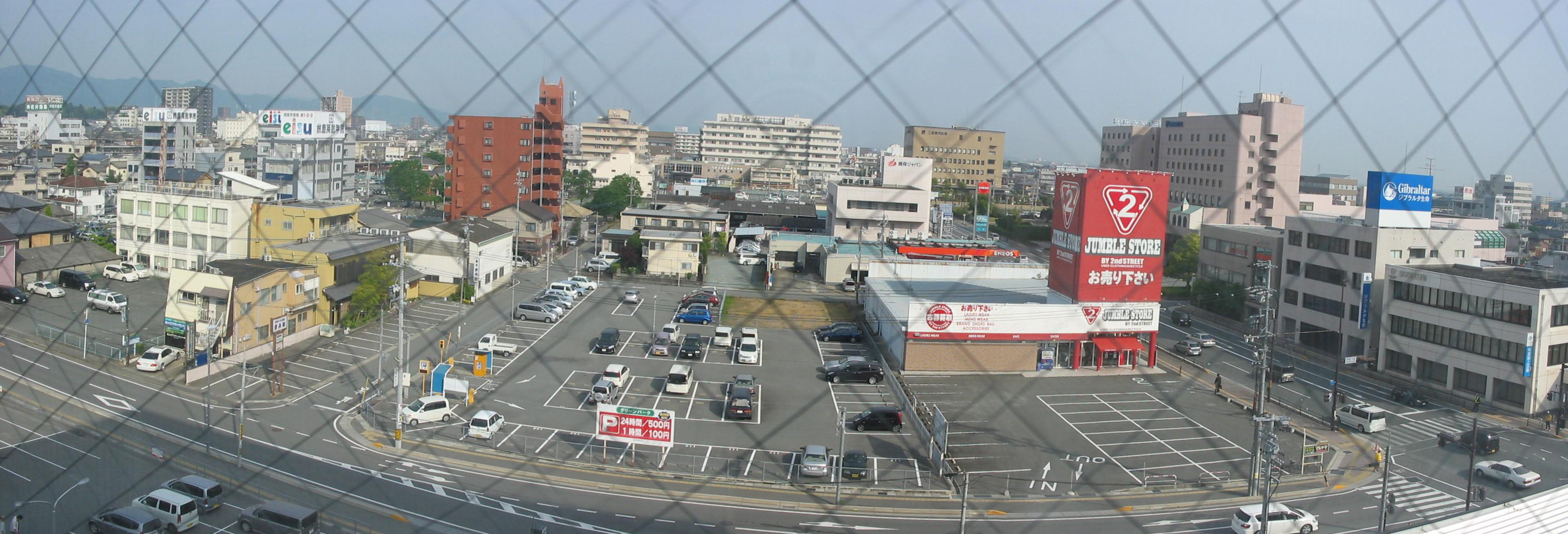
View from the Hotel Route Inn Matsusaka

View from my hotel room of train station, Matsusaka

Express Shimakaze, Kintetsu 2015
景色は最高である。しかし、隣の輩のイビキがいただけない。
Blue→Green Twice Over

カメラロール-544
Tsu 2015_01
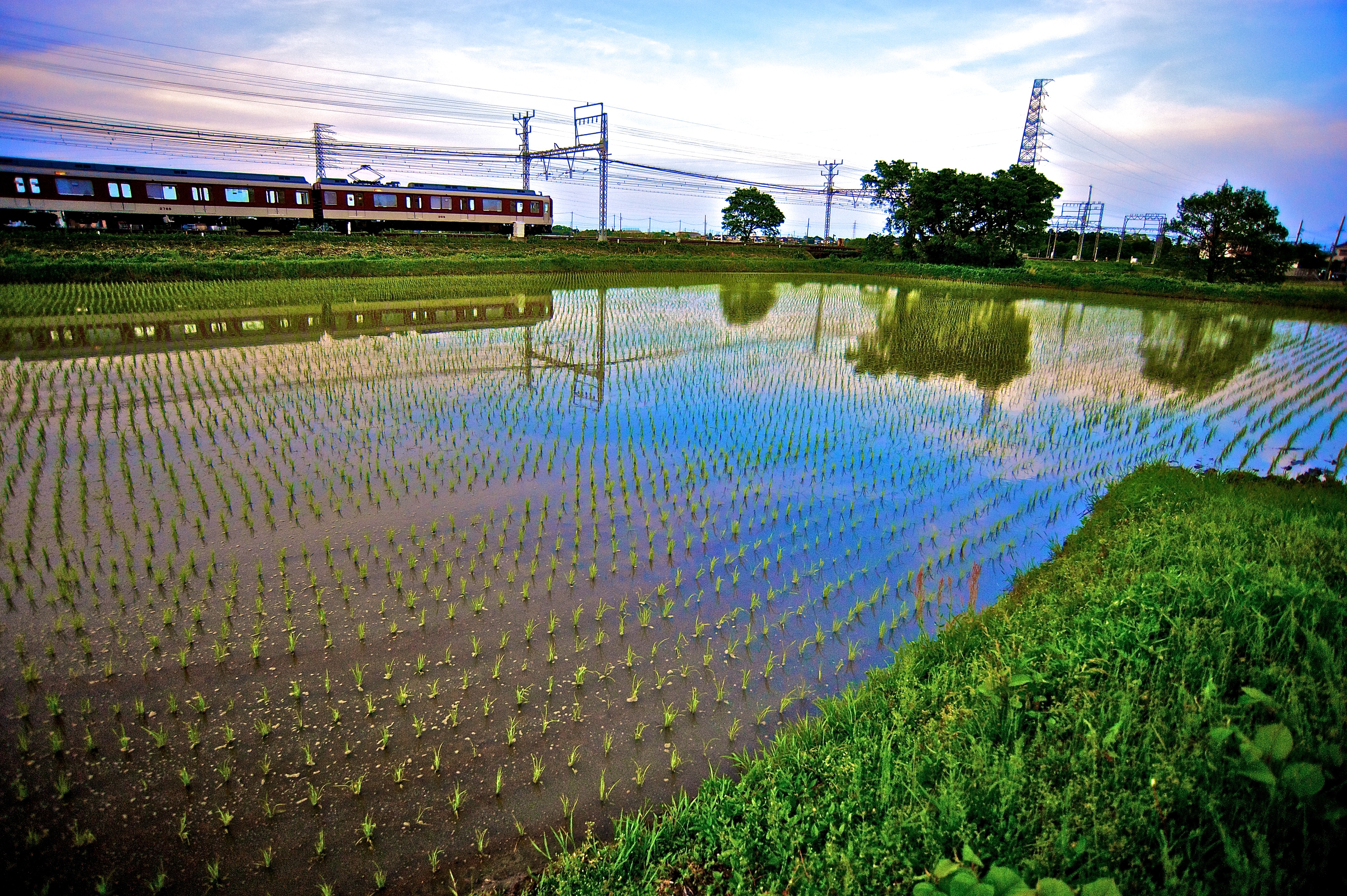
雲出鋼管町

Express Shimakaze, Kintetsu 2015
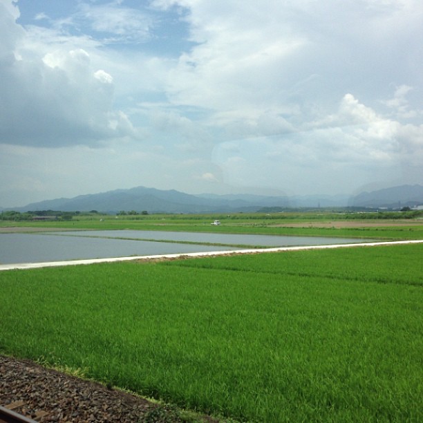
Country Travels
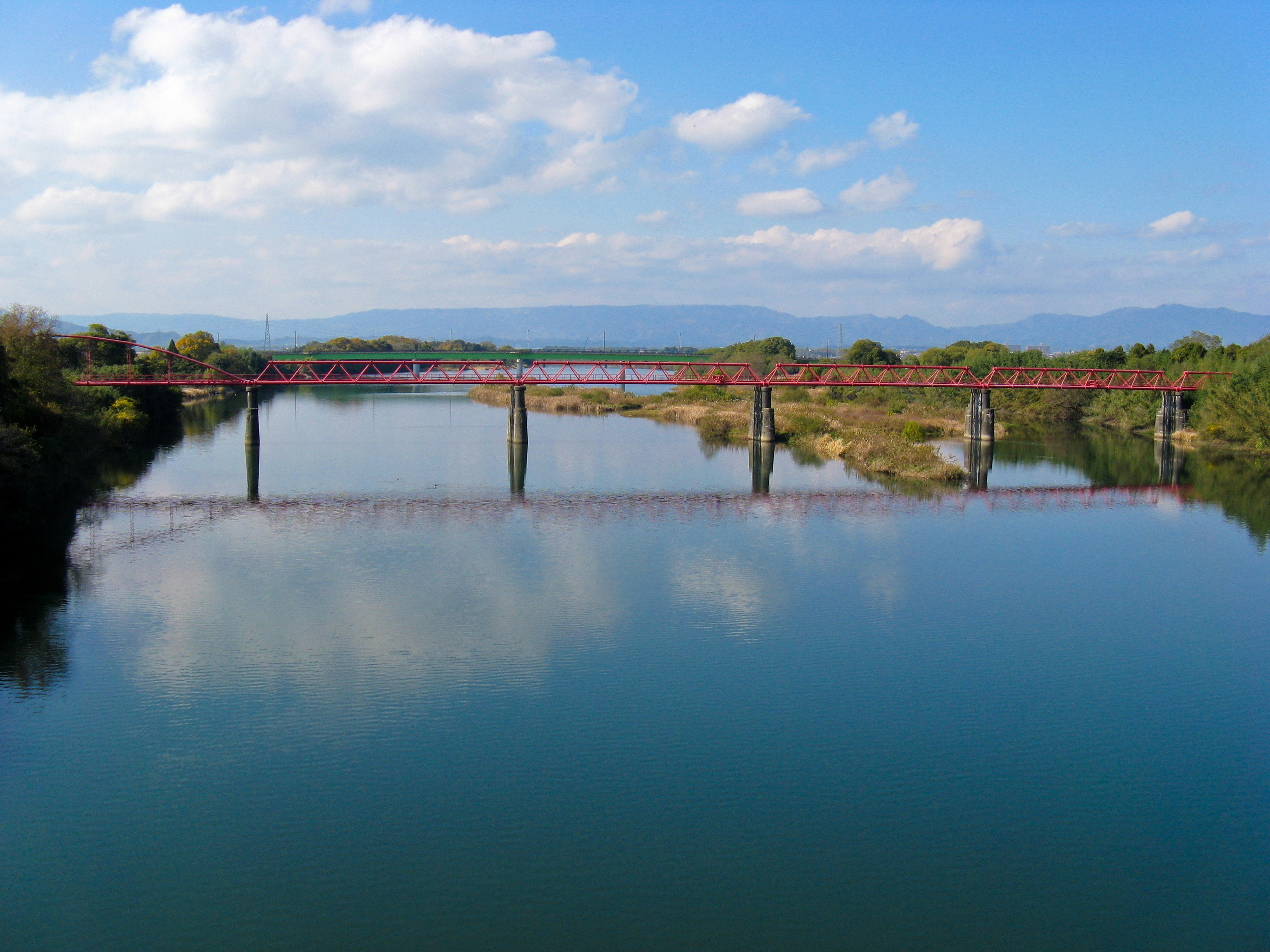
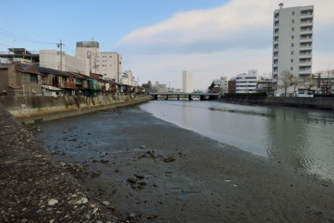
1619 Kumozu River

雲出鋼管町
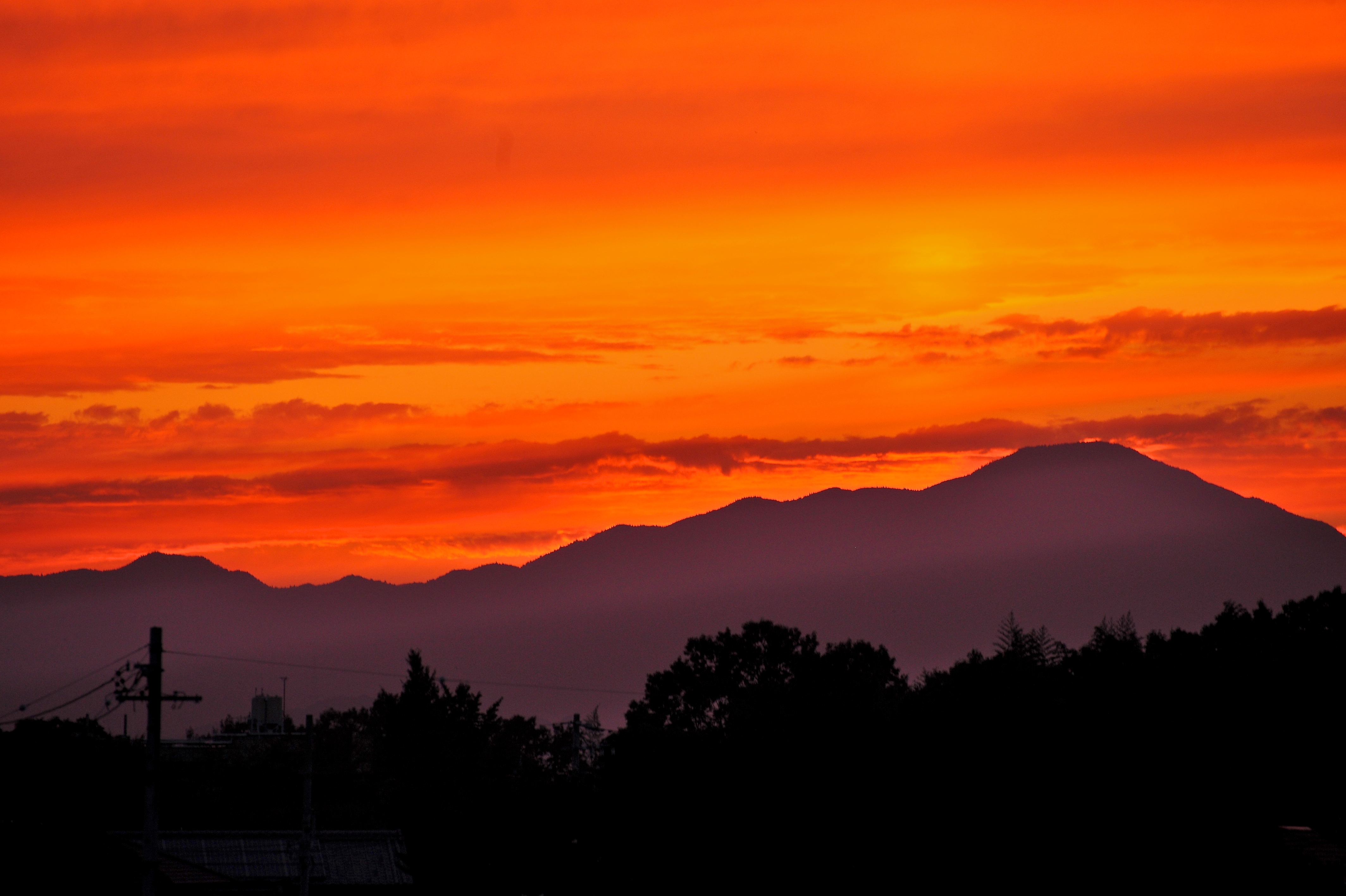
Seeing Red
カメラロール-898
140104-132905

英虜湾の島々
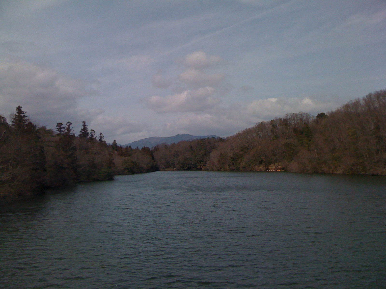
山田池
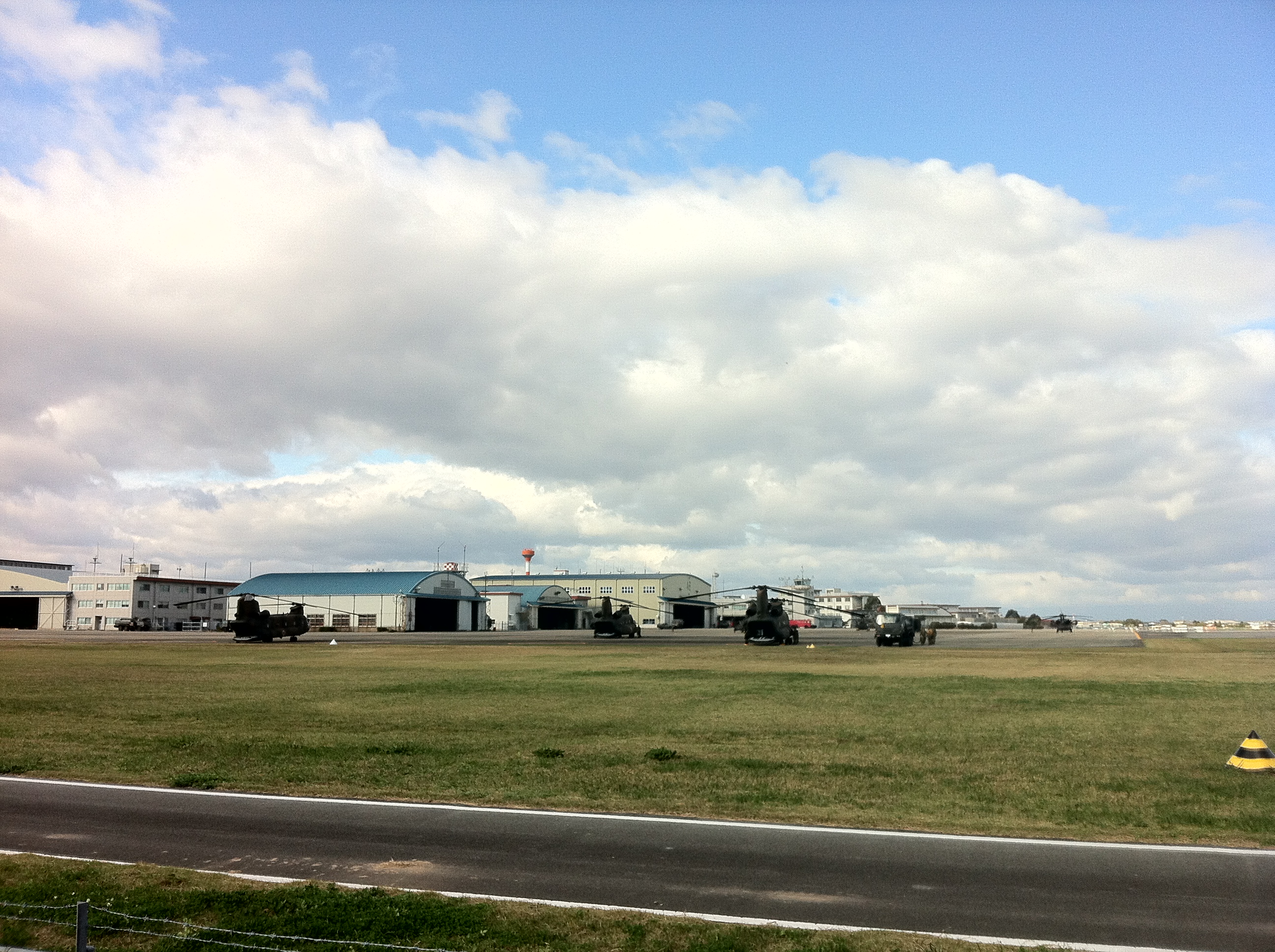
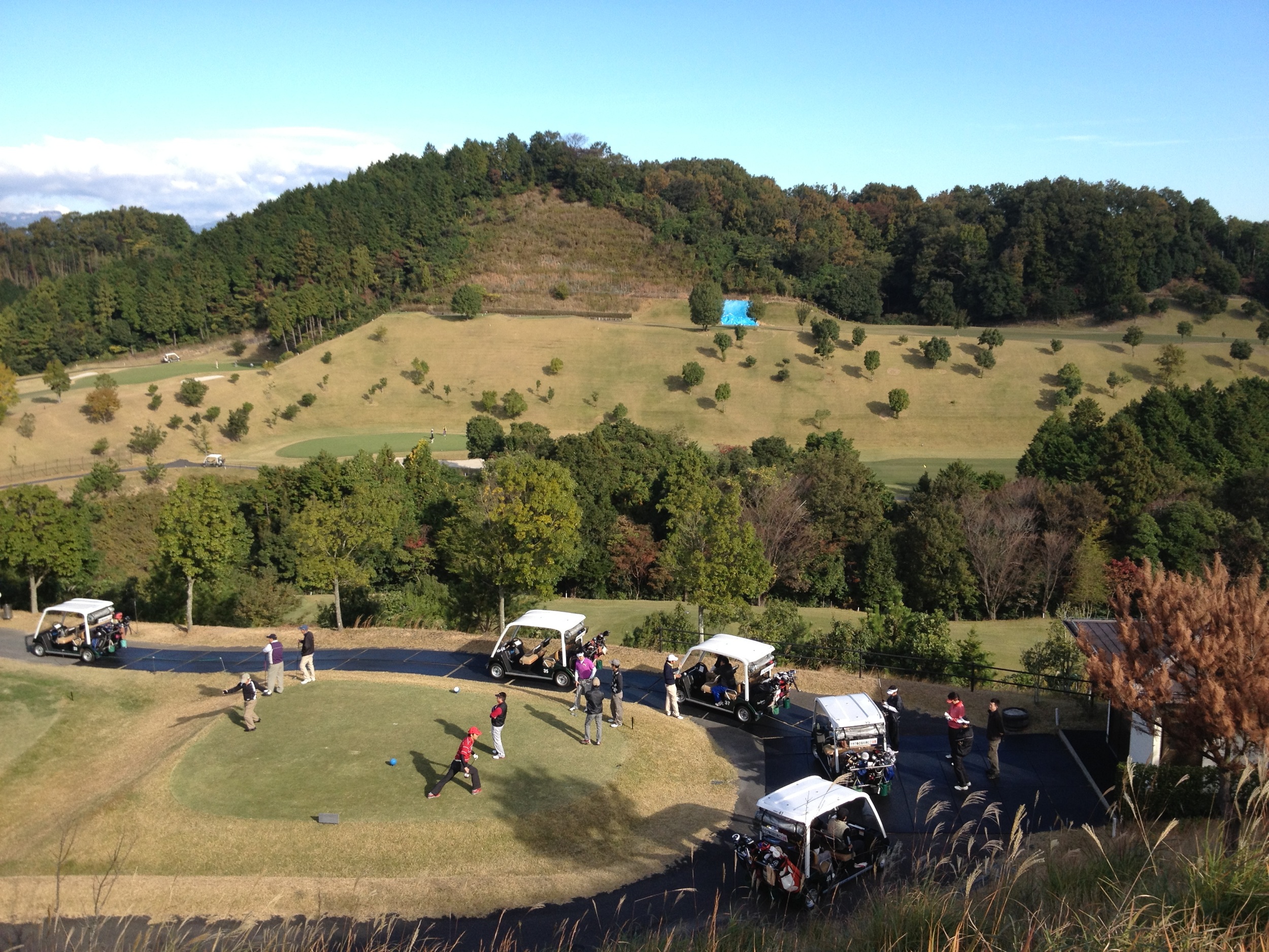
ヘリ鑑賞
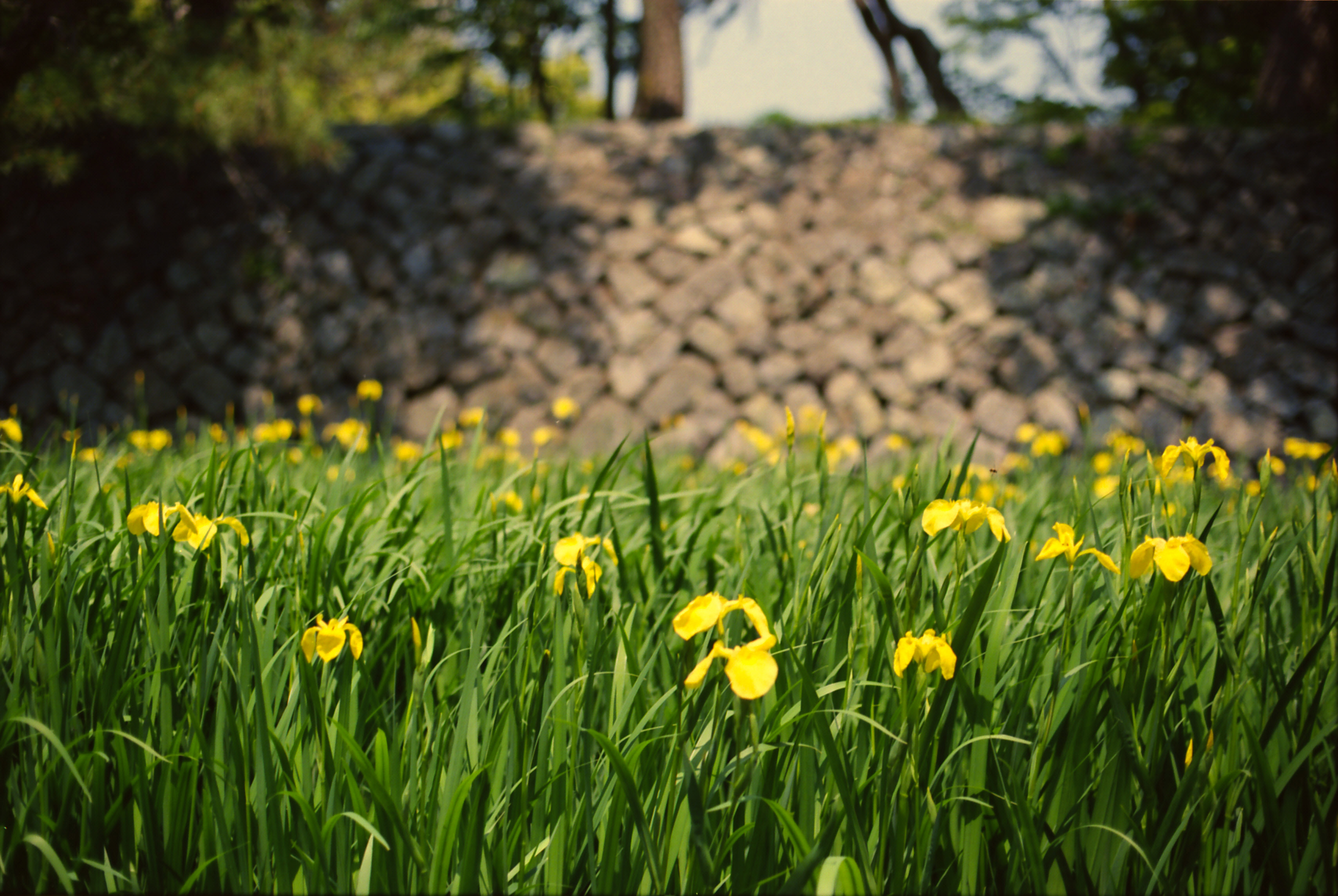
お城公園の菖蒲
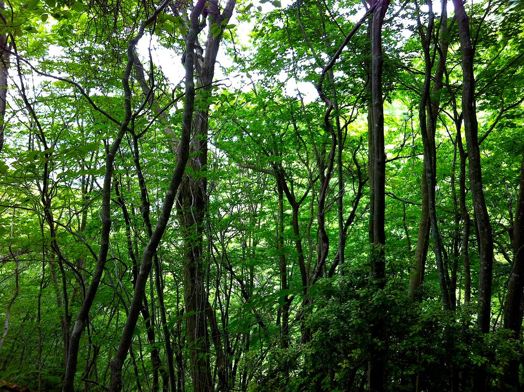
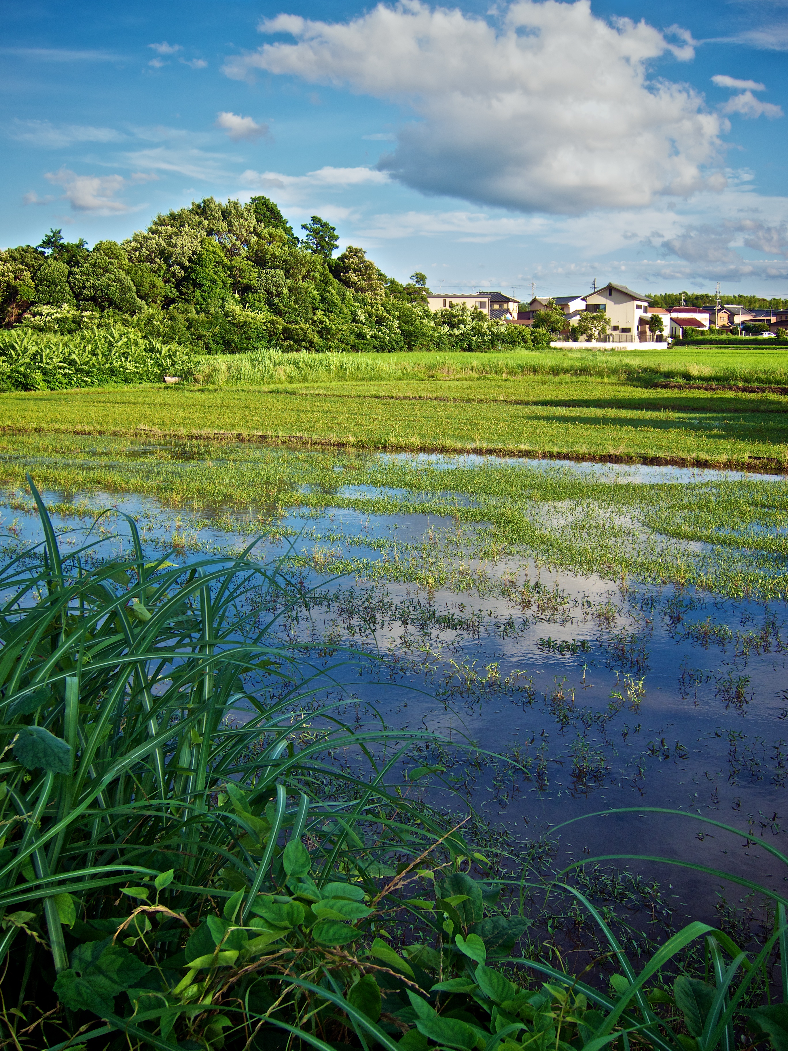
新緑
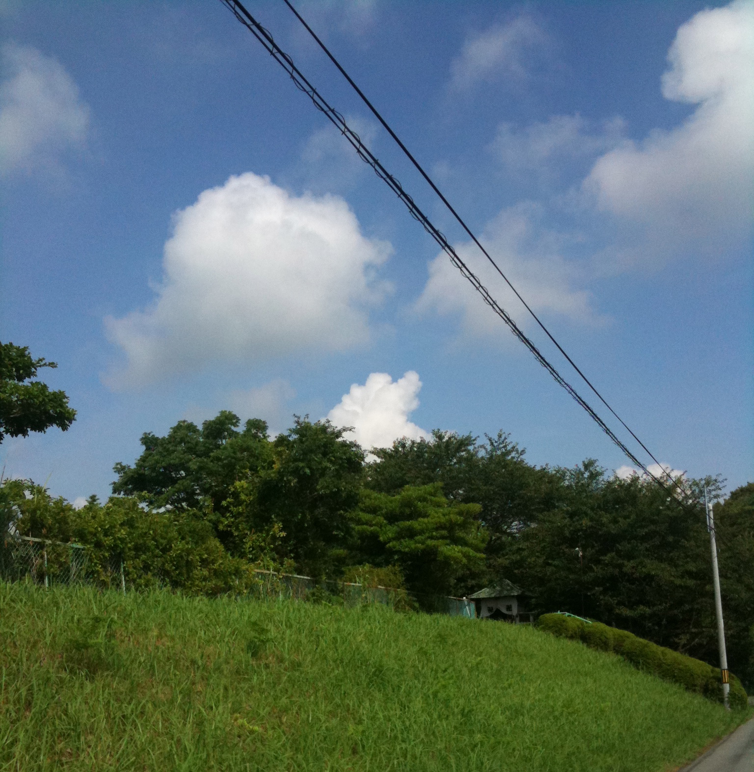
夏の朝の雲@西阿漕町岩田
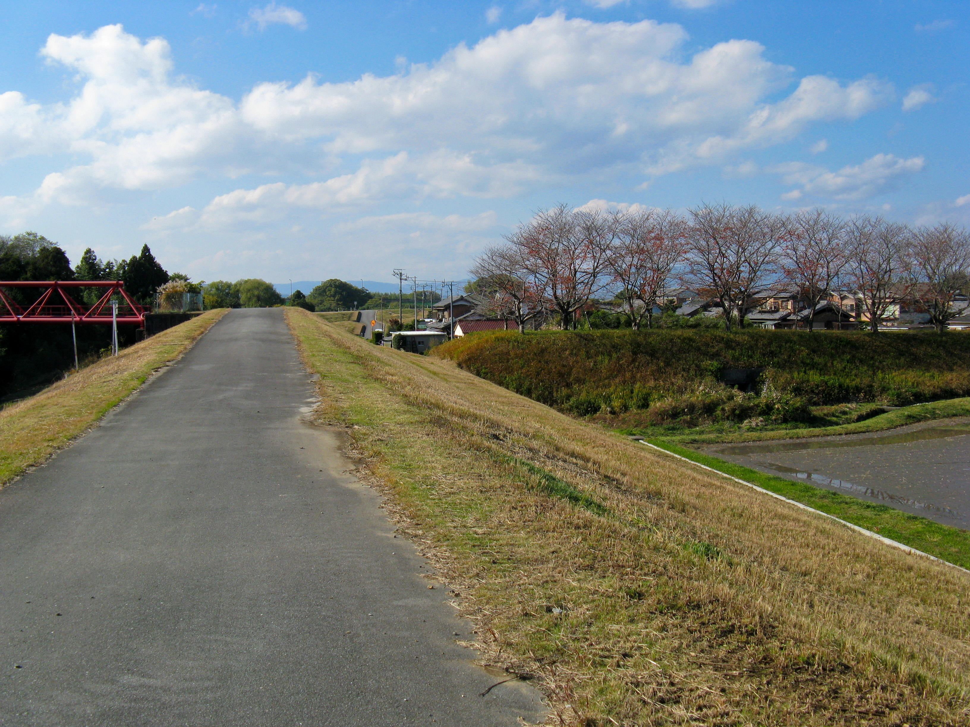
1627 Train Bank
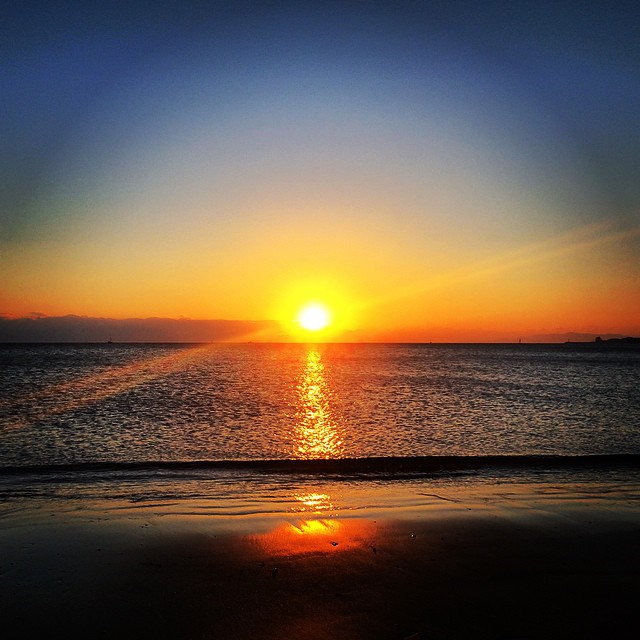
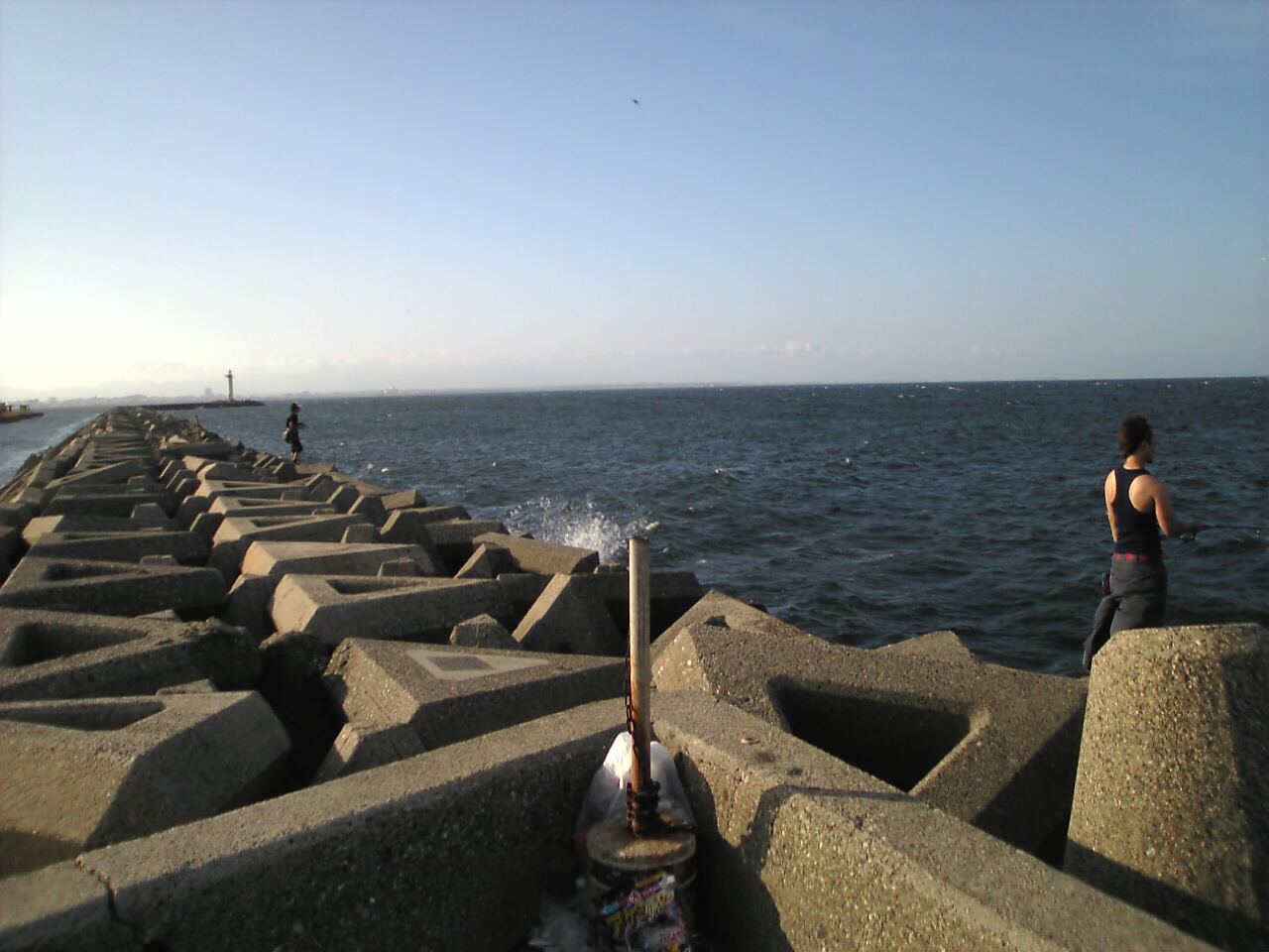
軽く海まで来てみた。
Topographic Map of Ishizuchō, Matsusaka-shi, Mie-ken -, Japan
Find elevation by address:

Places near Ishizuchō, Matsusaka-shi, Mie-ken -, Japan:
Matsusaka
1 Chome-32 Kasugachō, Matsusaka-shi, Mie-ken -, Japan
Soharachō, Matsusaka-shi, Mie-ken -, Japan
41-8 Kushidachō, Matsusaka-shi, Mie-ken -, Japan
-2 Umanoue, Meiwa-chō, Taki-gun, Mie-ken -, Japan
Taki
Meiwa
-7 Hisaikononbechō, Tsu-shi, Mie-ken -, Japan
-3 Hisai Motomachi, Tsu-shi, Mie-ken -, Japan
19 Hase, Taki-chō, Taki-gun, Mie-ken -, Japan
Tamaki
Daimon
Tsu
Katsuta, Tamaki-chō, Watarai-gun, Mie-ken -, Japan
Mie Prefecture
Moricho
Watarai
Ise
-3 Kōgichō, Ise-shi, Mie-ken -, Japan
Ogawa, Watarai-chō, Watarai-gun, Mie-ken -, Japan
Recent Searches:
- Elevation of Zimmer Trail, Pennsylvania, USA
- Elevation of 87 Kilmartin Ave, Bristol, CT, USA
- Elevation of Honghe National Nature Reserve, QP95+PJP, Tongjiang, Heilongjiang, Jiamusi, Heilongjiang, China
- Elevation of Hercules Dr, Colorado Springs, CO, USA
- Elevation of Szlak pieszy czarny, Poland
- Elevation of Griffing Blvd, Biscayne Park, FL, USA
- Elevation of Kreuzburger Weg 13, Düsseldorf, Germany
- Elevation of Gateway Blvd SE, Canton, OH, USA
- Elevation of East W.T. Harris Boulevard, E W.T. Harris Blvd, Charlotte, NC, USA
- Elevation of West Sugar Creek, Charlotte, NC, USA