Elevation of Ironwood Cir, Bend, OR, USA
Location: United States > Oregon > Deschutes County > Bend > Century West >
Longitude: -121.35359
Latitude: 44.0502276
Elevation: 1140m / 3740feet
Barometric Pressure: 88KPa
Elevation Map:
Satellite Map:
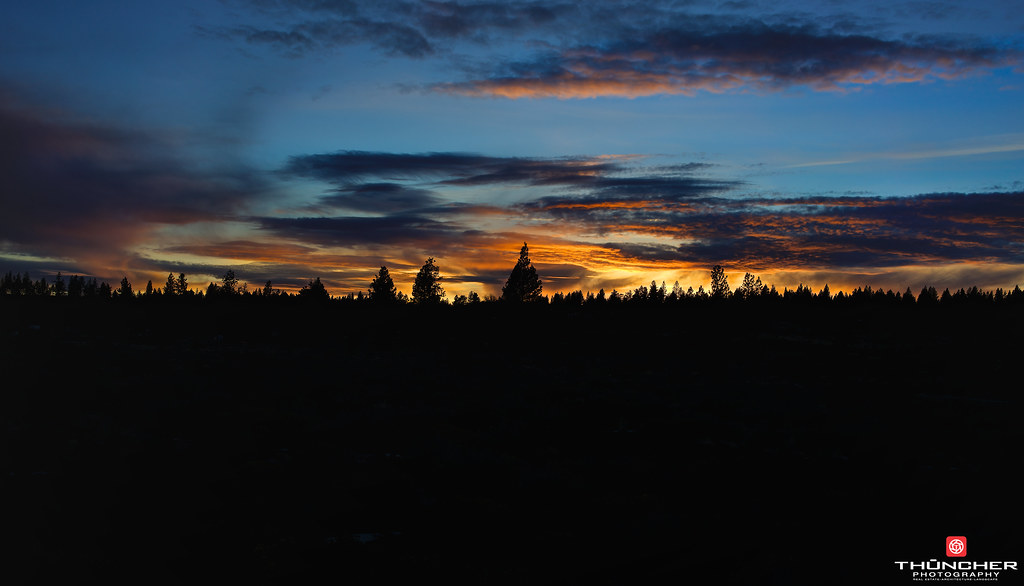
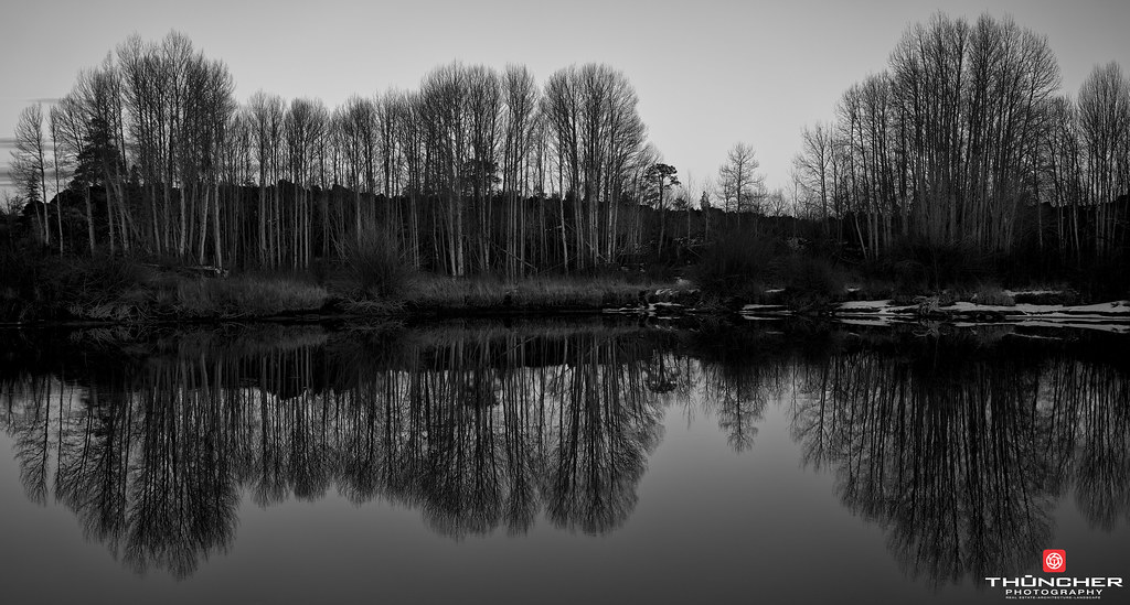
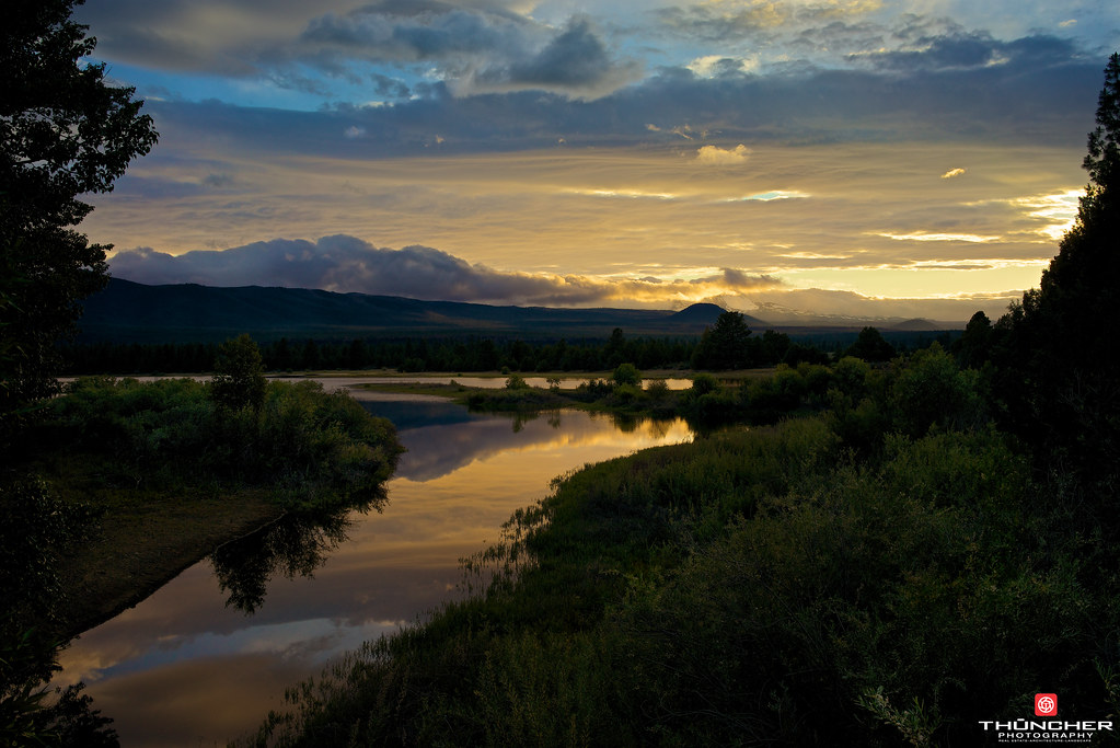
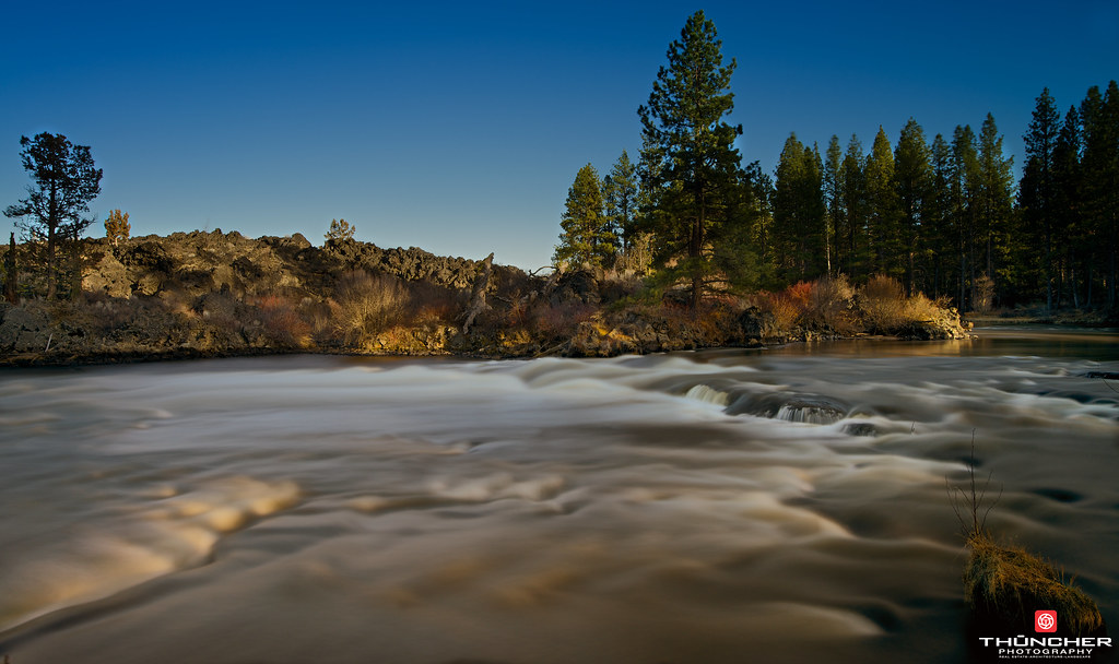
Related Photos:
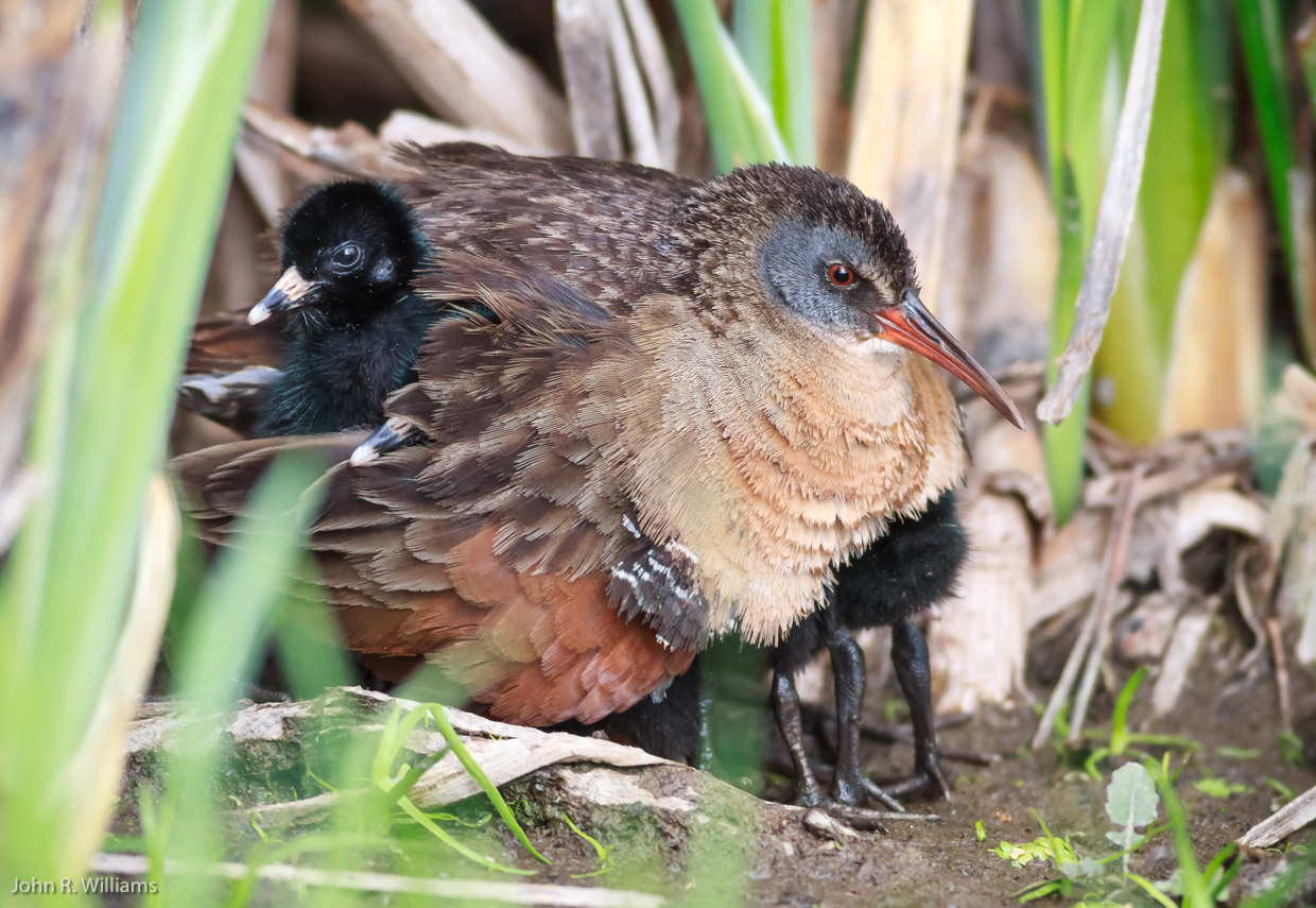
Virginia Rail and Brood (Rallus limicola): Room with a View

Board Walk Mirror Pond
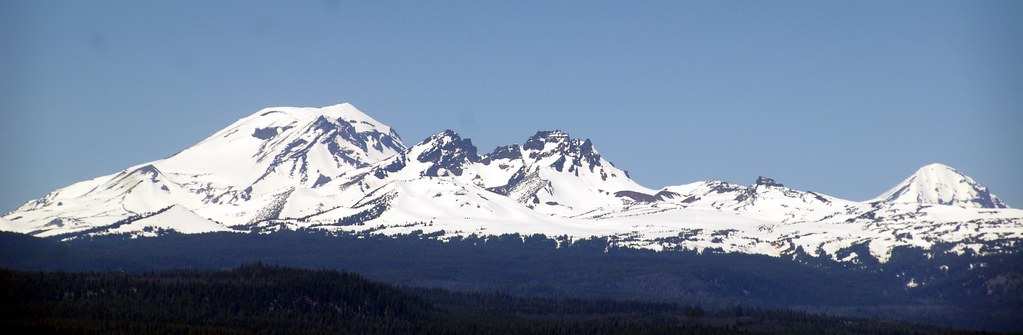
View from Lava Butte
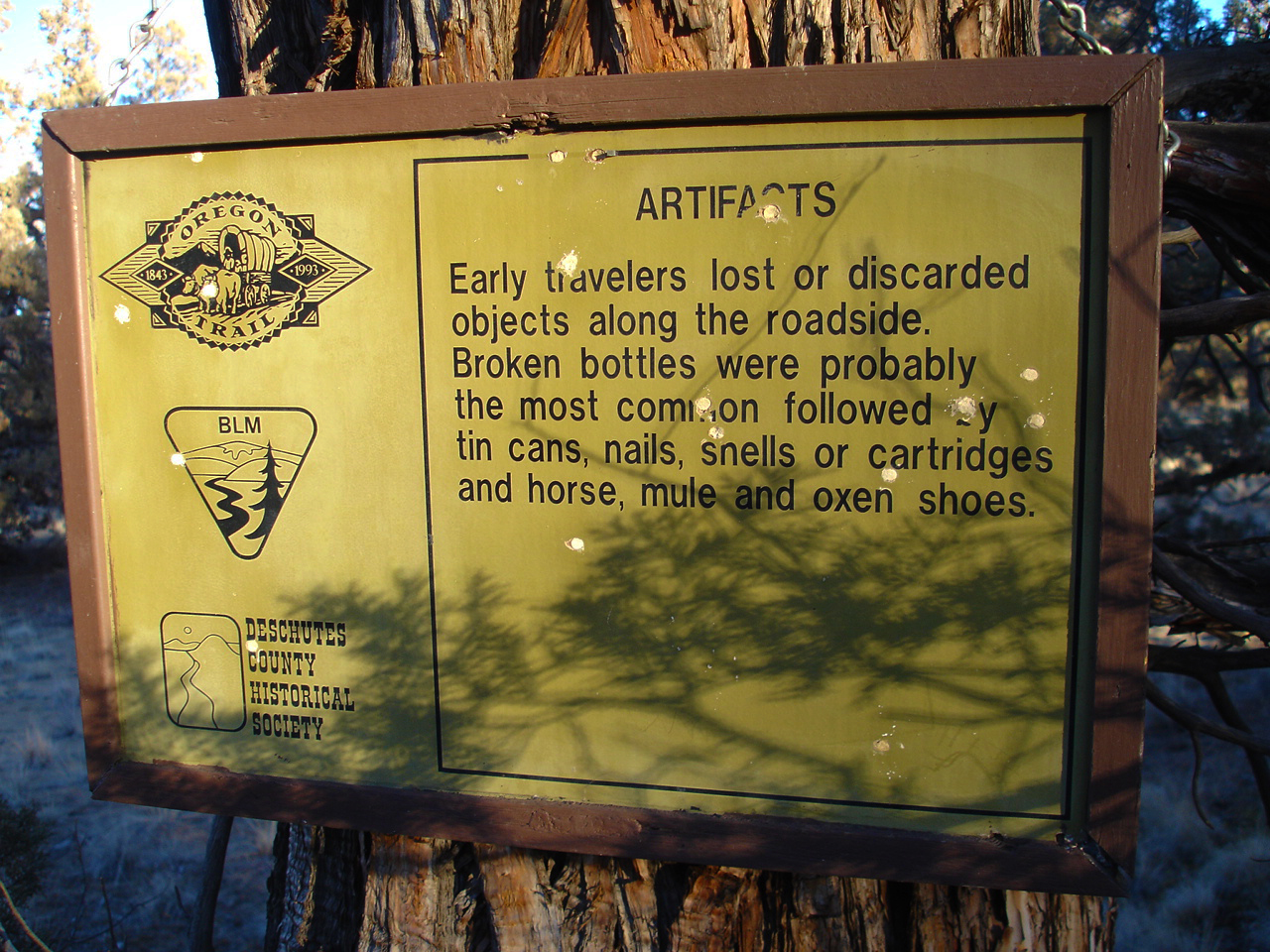
Huntington Wagon Road
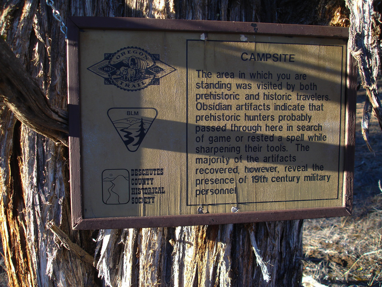
Huntington Wagon Road

Crux Fermentation Project

Huntington Wagon Road
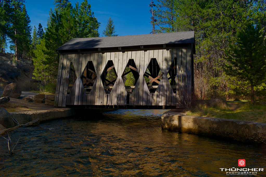
Bridges of Shevlin Park

Huntington Wagon Road

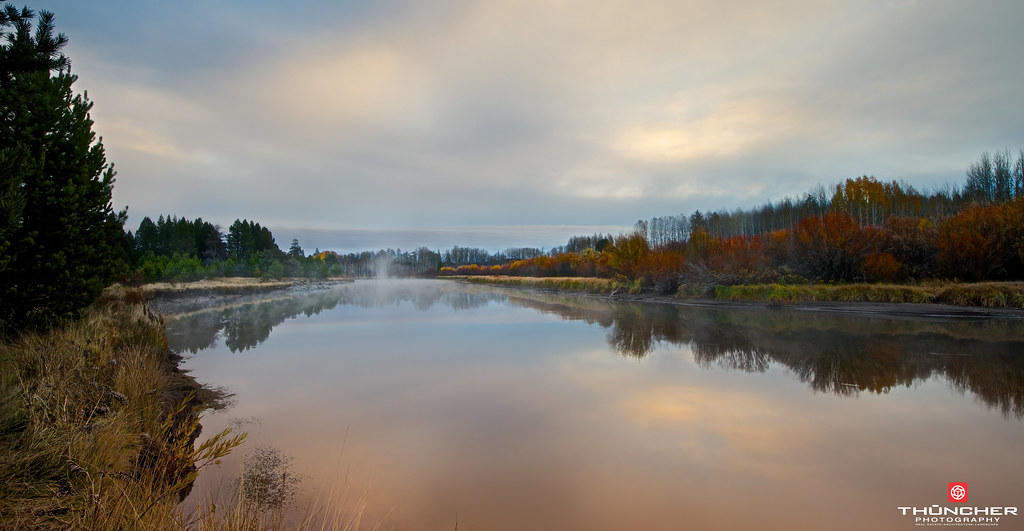
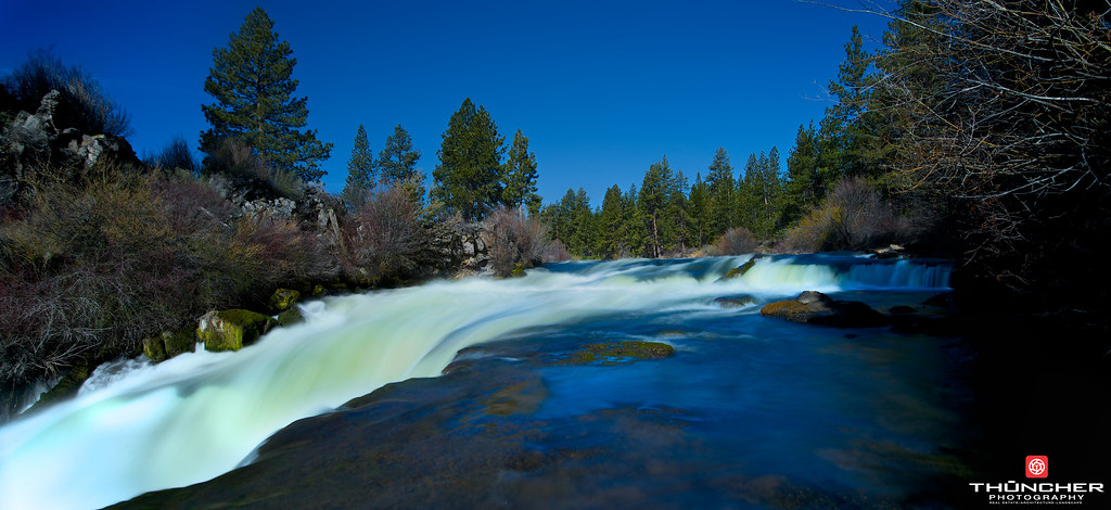
A Silent River

Realm of the Titans
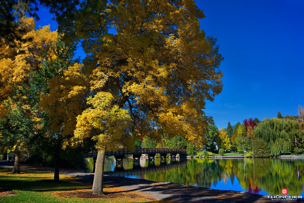
Fall Splendor
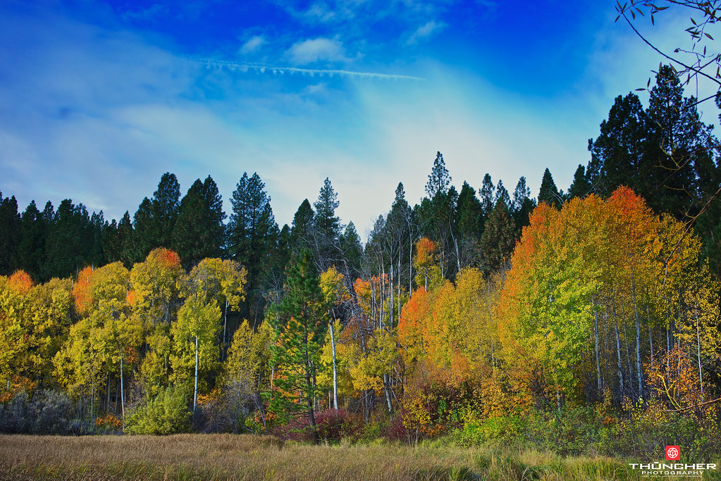
Symphony Of Color
Legends Of The Fall
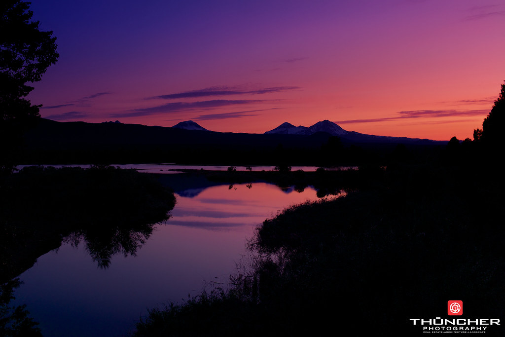
Blue Horizon
Down By The Lazy River
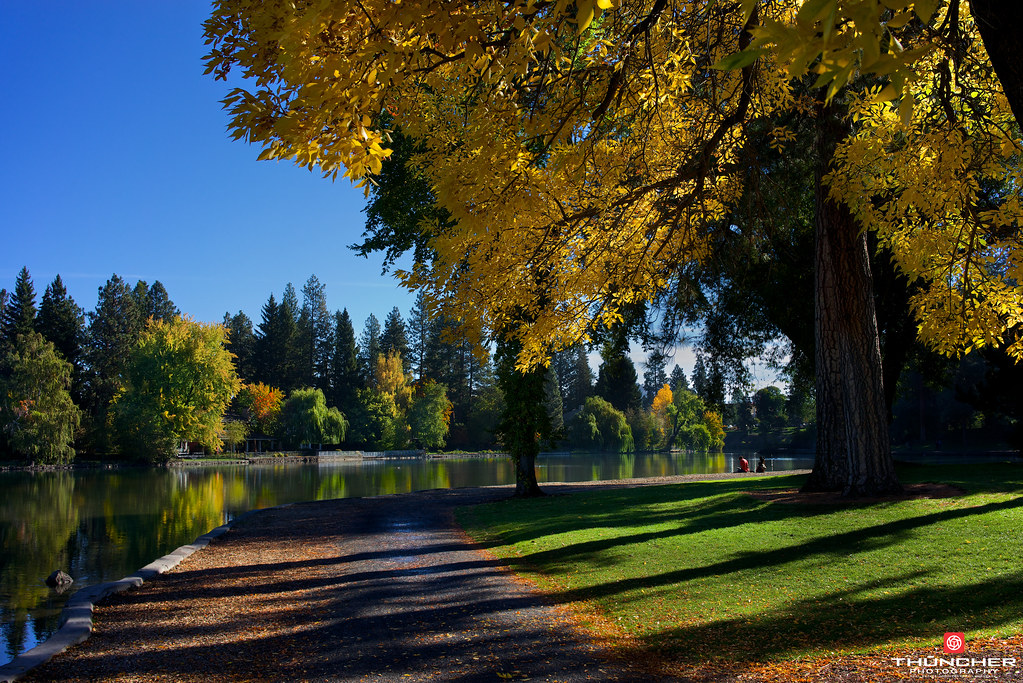
My Morning Zen

In A Big Country
Breakfast Club
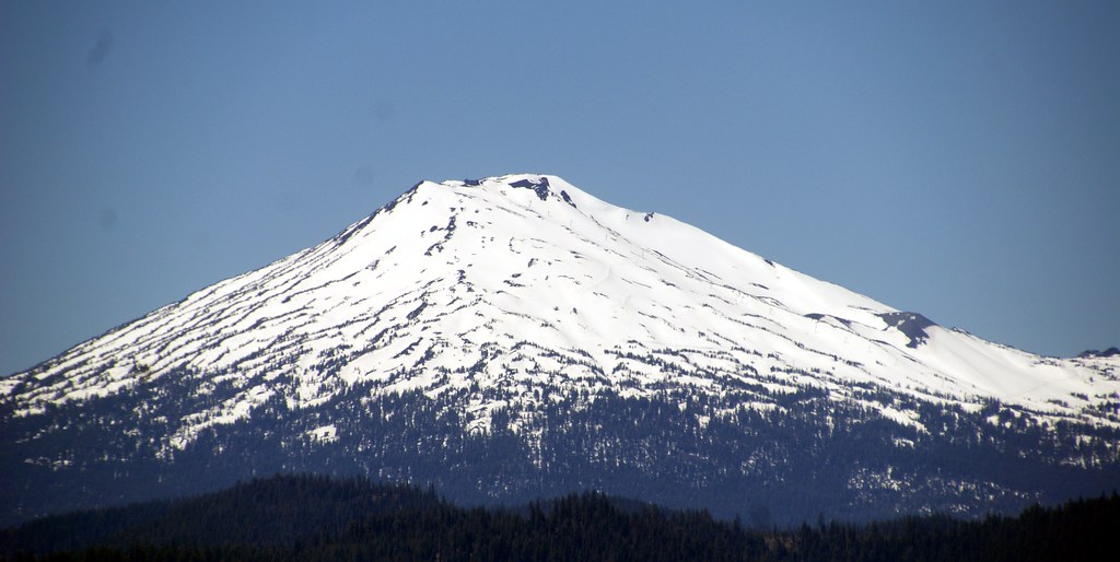
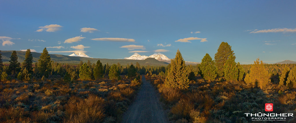
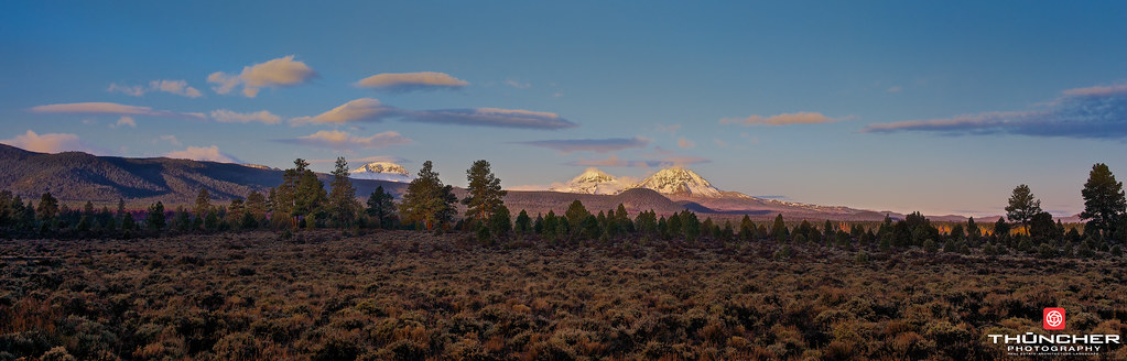
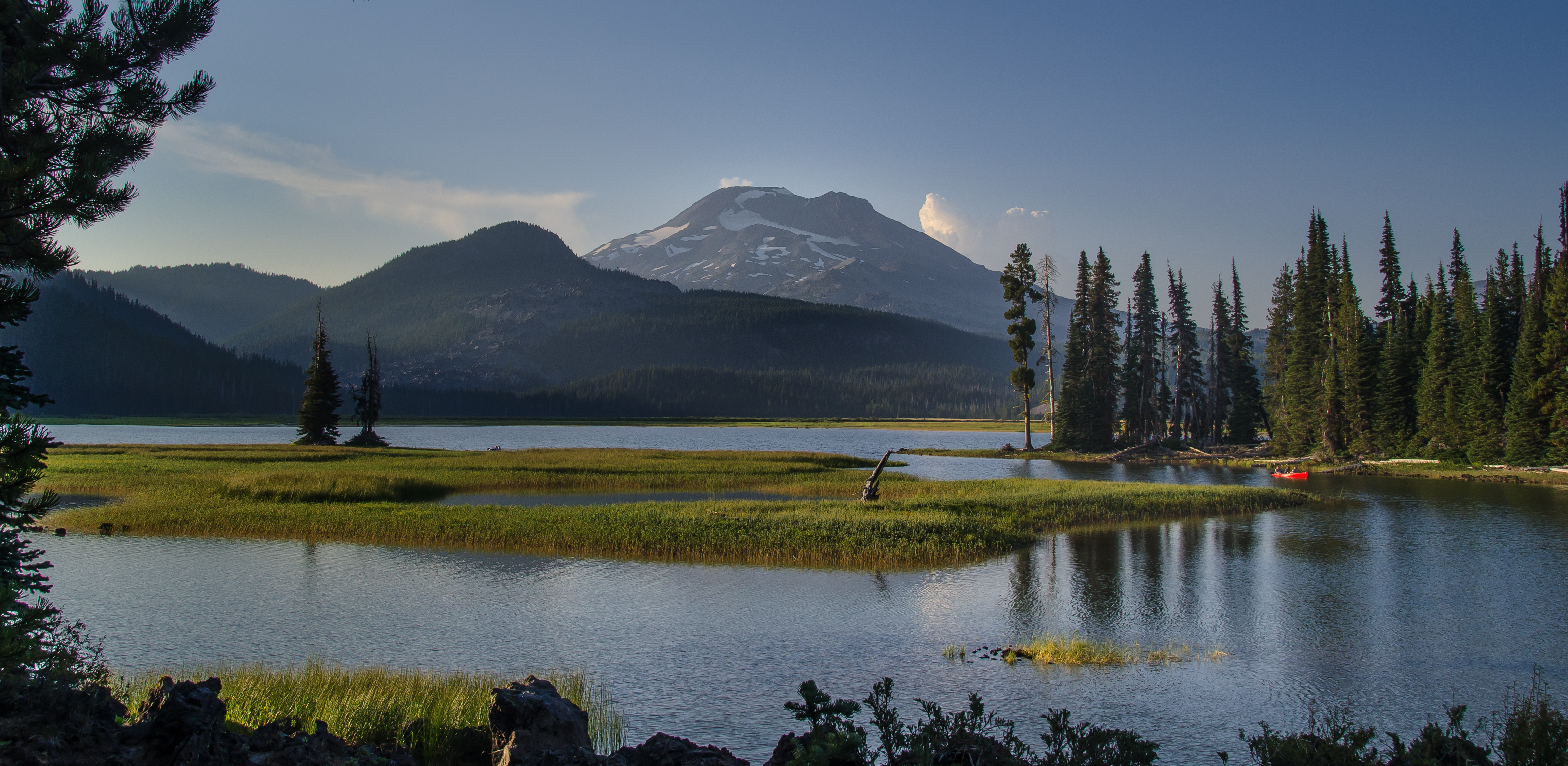
Mt Bachelor
Off the Balcony

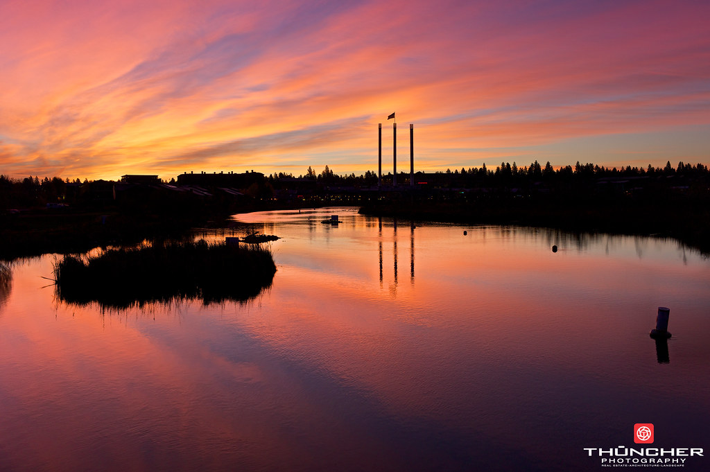
Mirror Pond Sunrise
Mirror Mirror
Ice Capades
Pretty In Pink
On The Edge
Sparks Lake 1
Green And Blue
Fire Storm
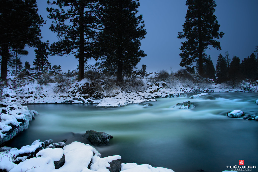
Winter Solstice
Tumalo Shangri-La
Sun Drenched
Topographic Map of Ironwood Cir, Bend, OR, USA
Find elevation by address:

Places near Ironwood Cir, Bend, OR, USA:
19449 Ironwood Cir
19504 Ironwood Cir
Northwest Crossing Drive
61980 Skyline Ranch Rd
Compass Park
2523 Nw Ordway Ave
2855 Nw Clearwater Dr
61666 Hosmer Lake Dr
Nw Lemhi Pass Dr & Nw Drouillard Ave
Summit West
Nw Hartford Ave & Nw Drouillard Ave
2398 Nw Drouillard Ave
William E Miller Elementary
1777 Sw Chandler Ave
141 Sw 15th St
Oregon, USA
1150 Nw Knoxville Blvd
1901 Nw Glassow Dr
1773 Nw Rimrock Dr
1957 Nw Glassow Dr
Recent Searches:
- Elevation of Elwyn Dr, Roanoke Rapids, NC, USA
- Elevation of Congressional Dr, Stevensville, MD, USA
- Elevation of Bellview Rd, McLean, VA, USA
- Elevation of Stage Island Rd, Chatham, MA, USA
- Elevation of Shibuya Scramble Crossing, 21 Udagawacho, Shibuya City, Tokyo -, Japan
- Elevation of Jadagoniai, Kaunas District Municipality, Lithuania
- Elevation of Pagonija rock, Kranto 7-oji g. 8"N, Kaunas, Lithuania
- Elevation of Co Rd 87, Jamestown, CO, USA
- Elevation of Tenjo, Cundinamarca, Colombia
- Elevation of Côte-des-Neiges, Montreal, QC H4A 3J6, Canada