Elevation of Irishmans Campground, Lakeview, OR, United States
Location: United States > Oregon > Lakeview >
Longitude: -120.56468
Latitude: 42.3718227
Elevation: 1725m / 5659feet
Barometric Pressure: 82KPa
Elevation Map:
Satellite Map:
Related Photos:
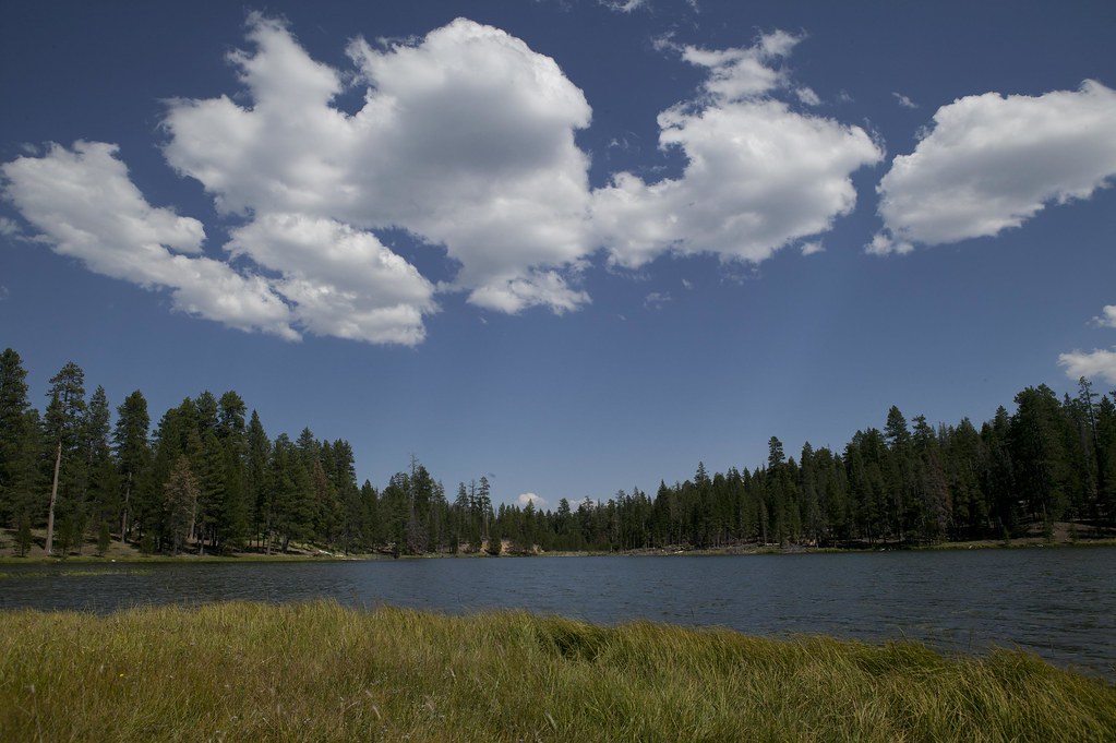
Cottonwood Meadow Lake (1509-adj)

Dairy Creek
Topographic Map of Irishmans Campground, Lakeview, OR, United States
Find elevation by address:

Places near Irishmans Campground, Lakeview, OR, United States:
Cottonwood Complex Campground
19438 Patten Meadow Rd
Hunter's Hot Springs Lodge
440 N F St
Lakeview
Lake County
Drake Peak
Summer Lake
Plush Adel Road
Plush
Recent Searches:
- Elevation of Corso Fratelli Cairoli, 35, Macerata MC, Italy
- Elevation of Tallevast Rd, Sarasota, FL, USA
- Elevation of 4th St E, Sonoma, CA, USA
- Elevation of Black Hollow Rd, Pennsdale, PA, USA
- Elevation of Oakland Ave, Williamsport, PA, USA
- Elevation of Pedrógão Grande, Portugal
- Elevation of Klee Dr, Martinsburg, WV, USA
- Elevation of Via Roma, Pieranica CR, Italy
- Elevation of Tavkvetili Mountain, Georgia
- Elevation of Hartfords Bluff Cir, Mt Pleasant, SC, USA