Elevation of Irino, Iwakuni-shi, Yamaguchi-ken -, Japan
Location: Japan > Yamaguchi Prefecture > Iwakuni >
Longitude: 132.101953
Latitude: 34.1423129
Elevation: 92m / 302feet
Barometric Pressure: 100KPa
Elevation Map:
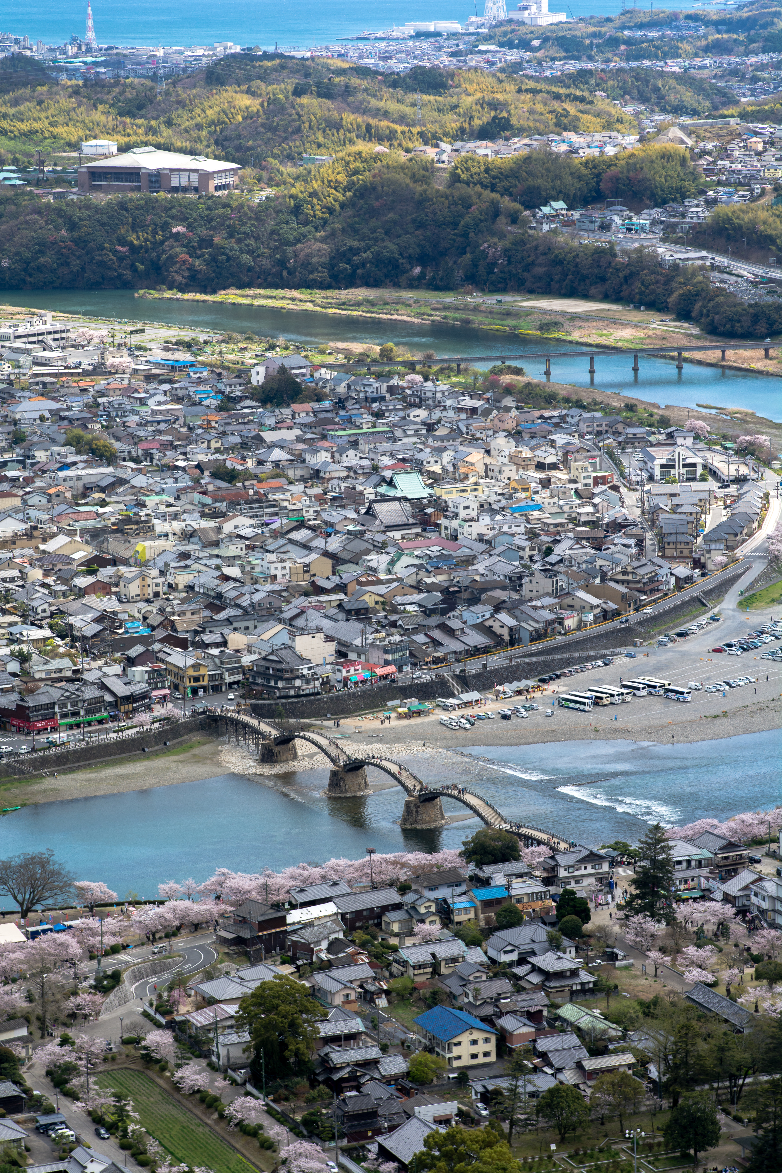
Satellite Map:
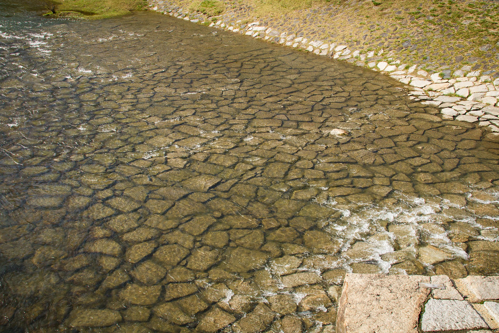
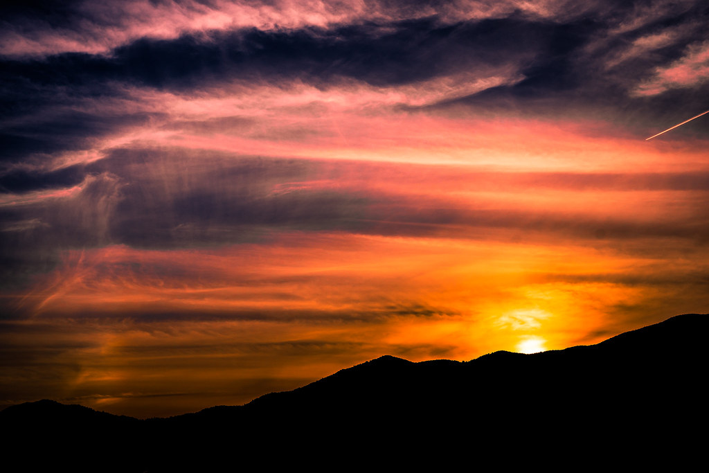
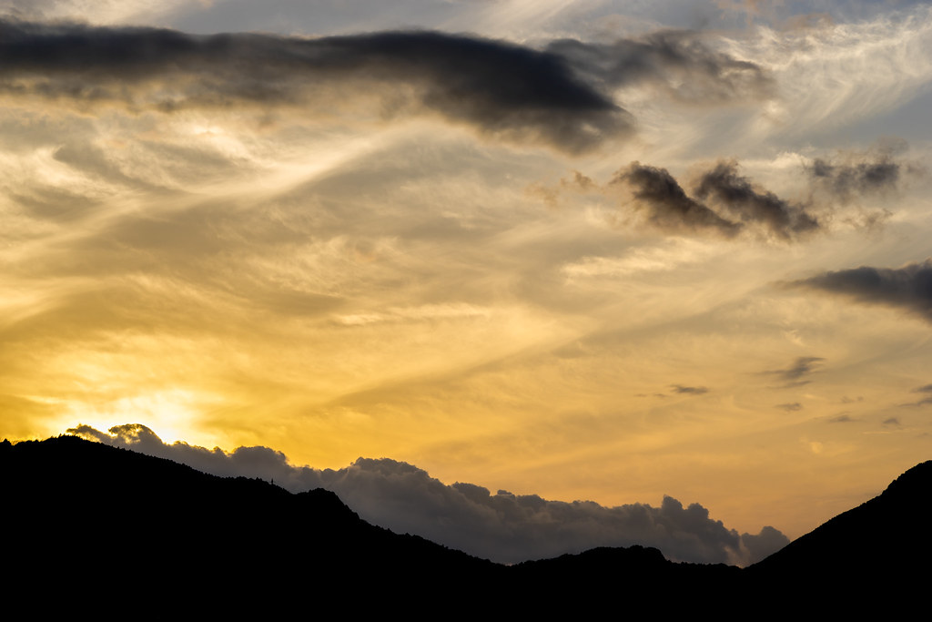
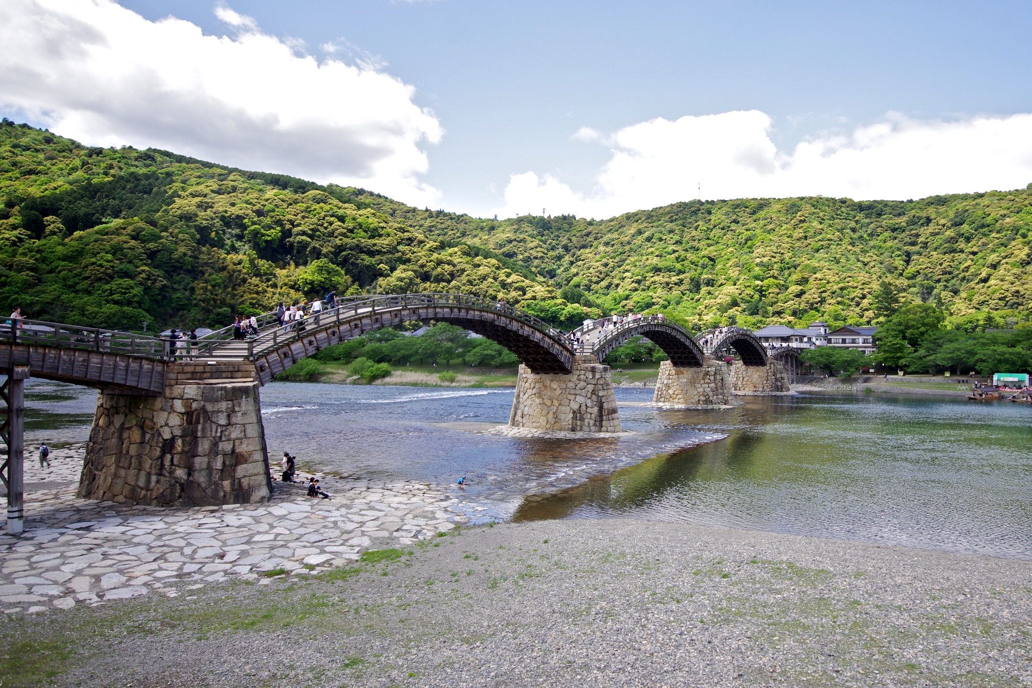
Related Photos:
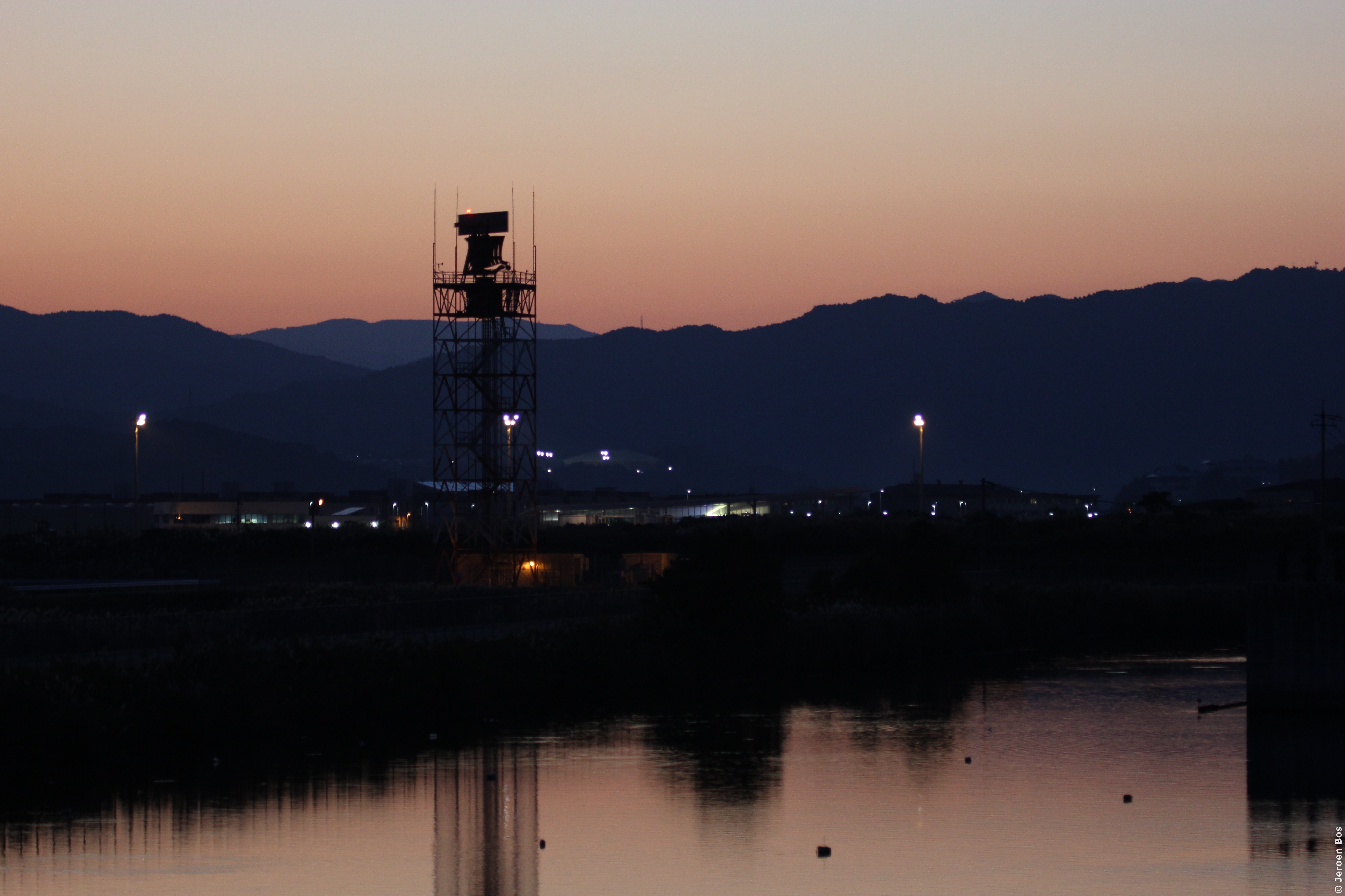
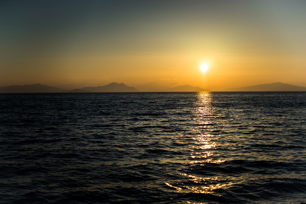
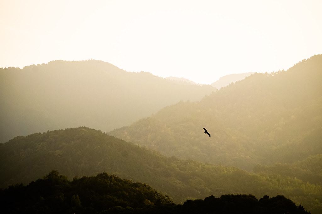
Marine Corps Air Station Iwakuni, Japan, at sunset
Del otro lado del puente
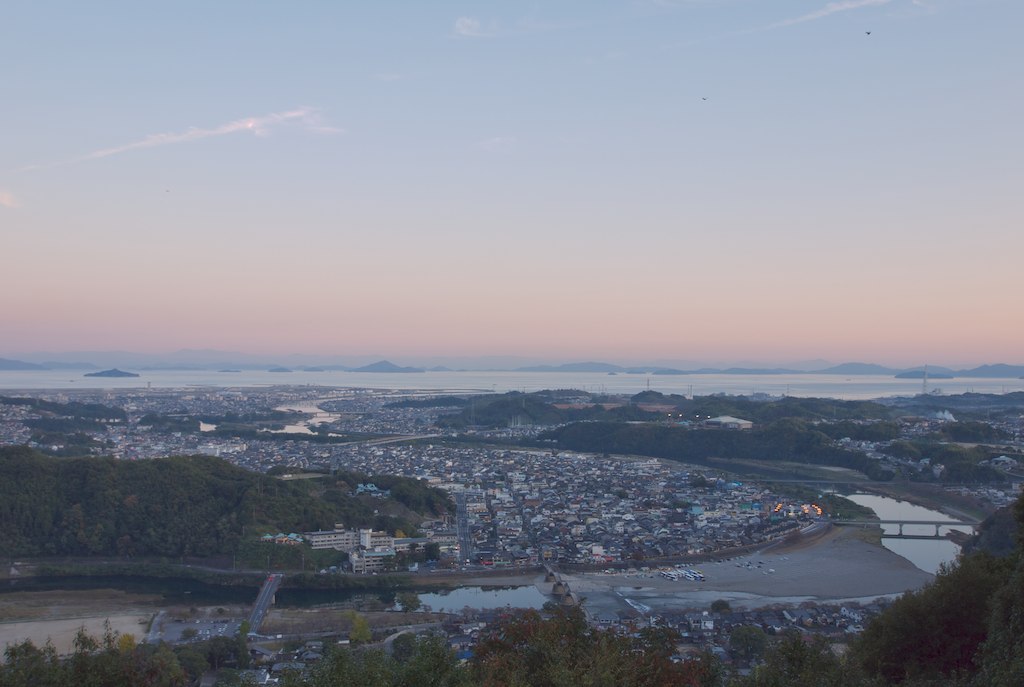
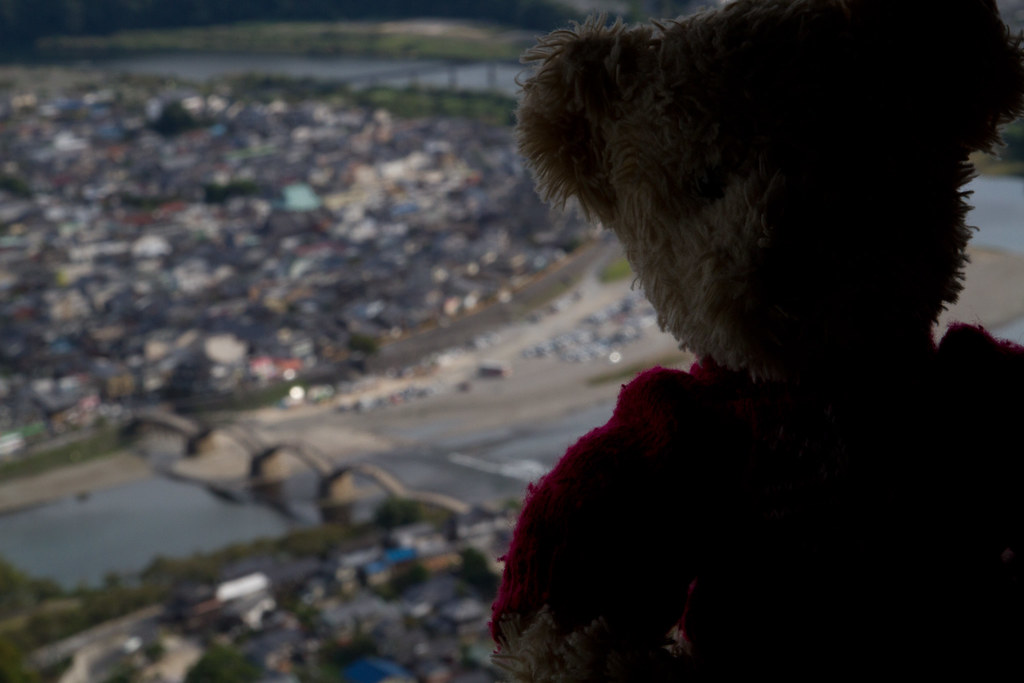
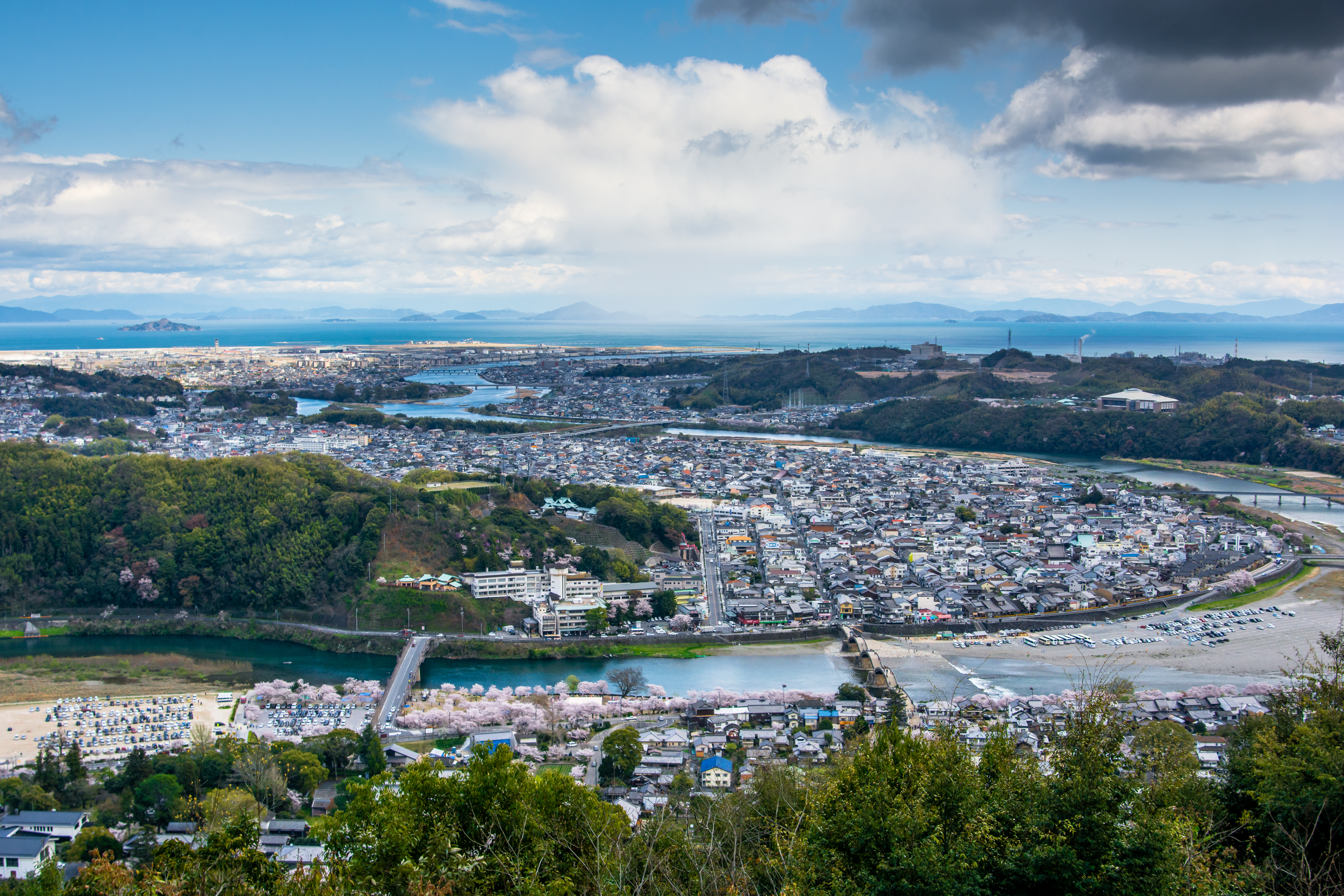
Iwakuni city view
Beautiful morning
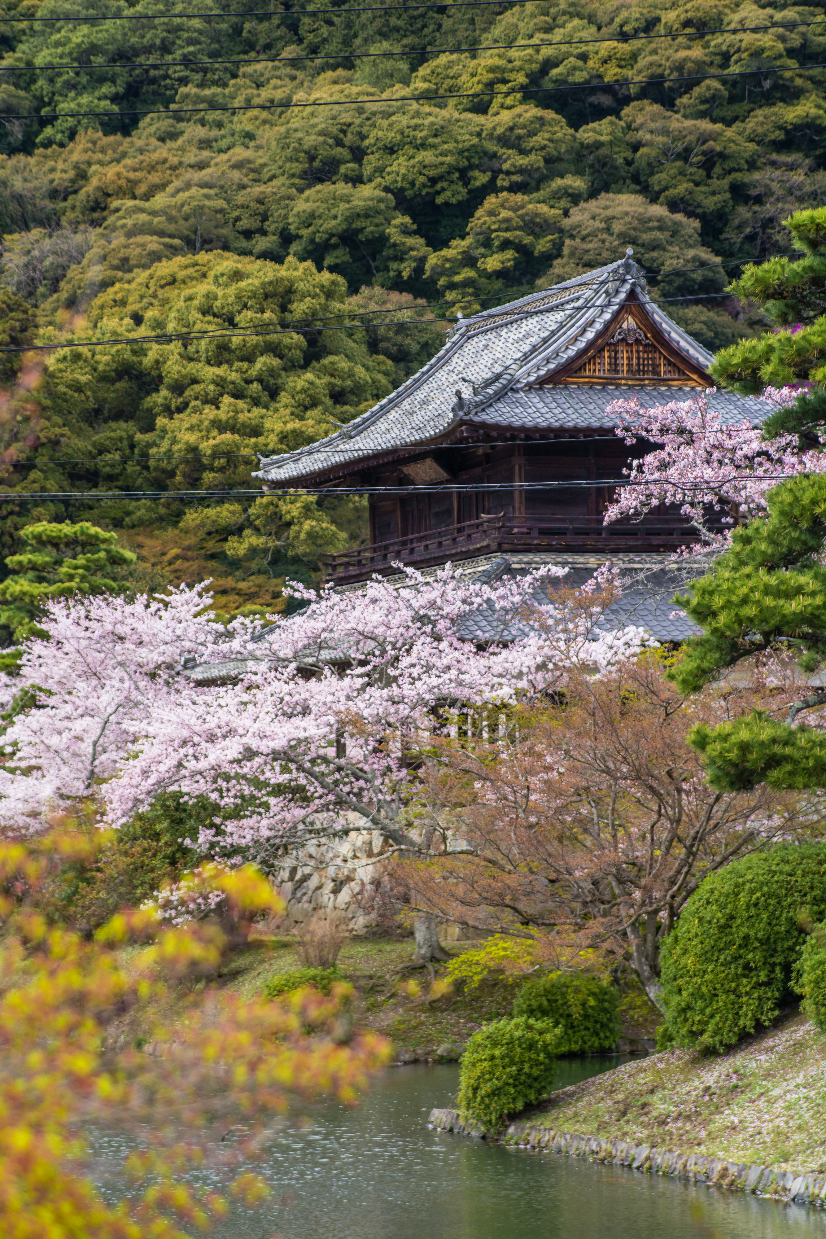
Iwakuni Castle

Вид на мост Кинтай и парк Кикко с замка Ивакуни

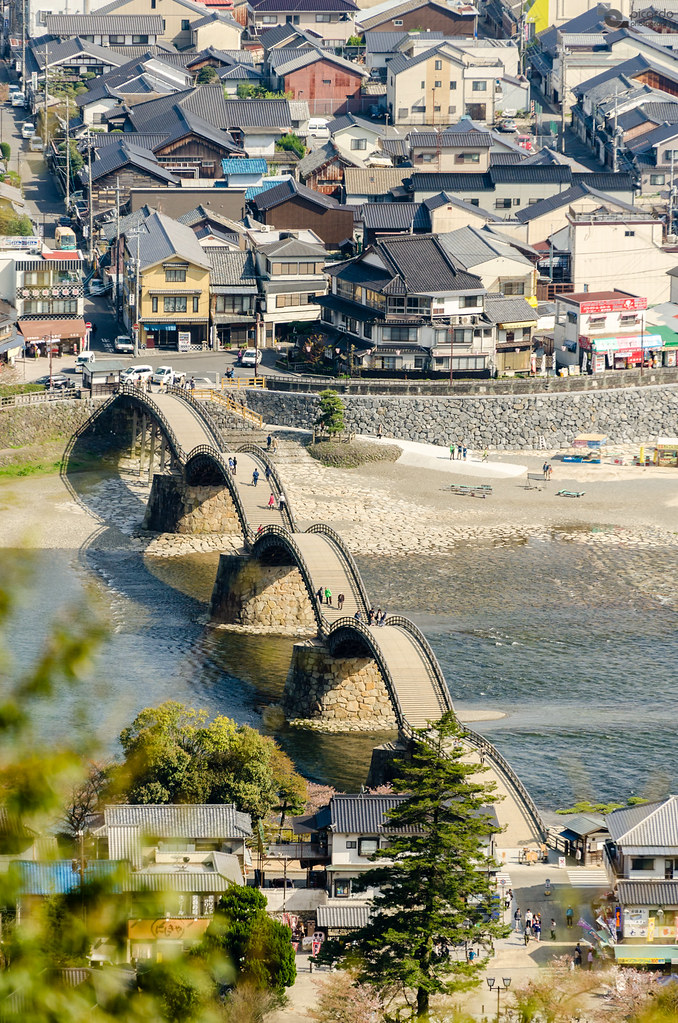
view of the bridge
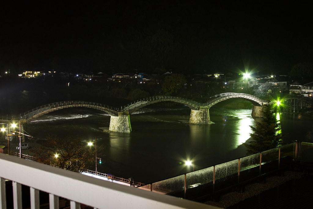
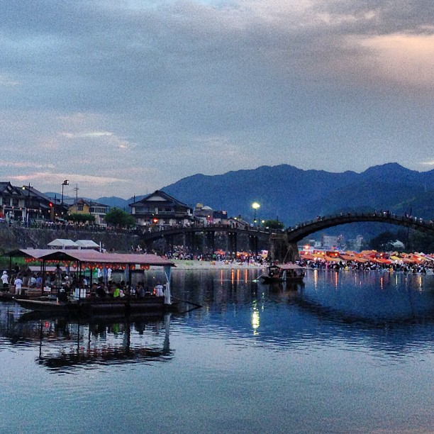
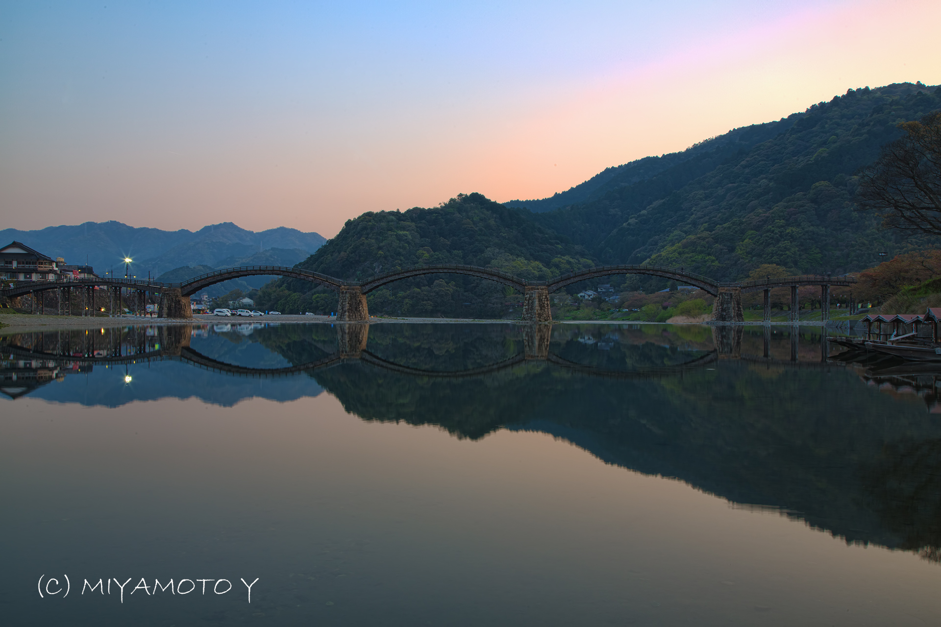
Kintai-kyo Bridge at Night

F/A-18A Hornet 163167 / 200 from VMFA-115 'Silver Eagles' taking off from MCAS Iwakuni, Japan
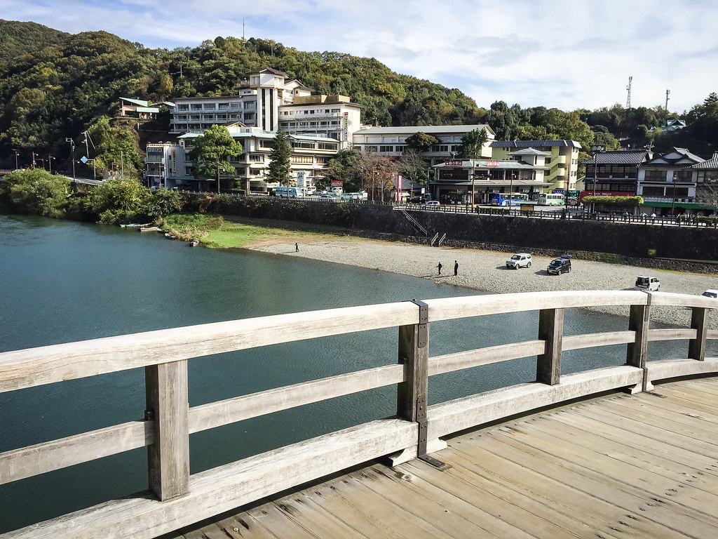
View of Iwakuni Kokusai Kanko Hotel from Kintai-kyo Bridge
looking for great view
View from Kintai-kyo Bridge

Moonrise at sunset.
Jupiter Sky.
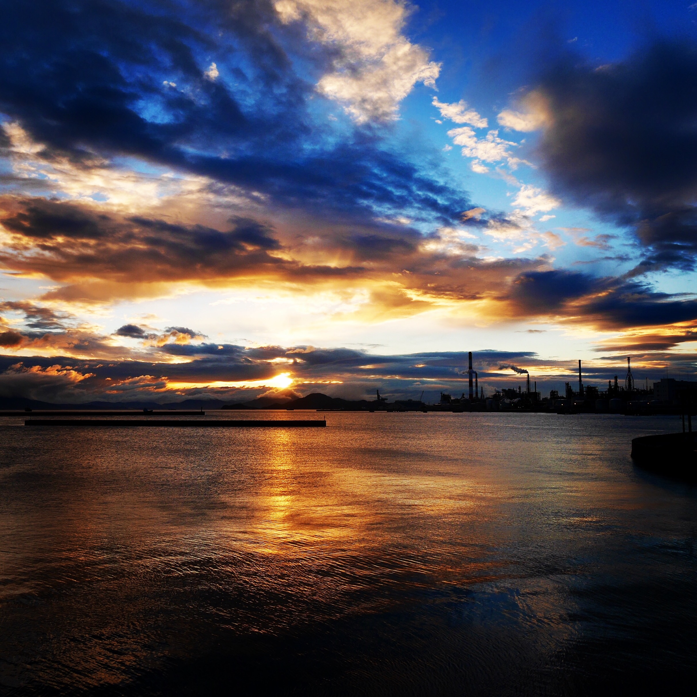
Storm front.
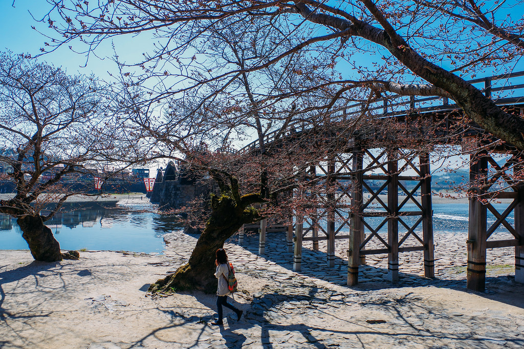
Ancient arched bridge
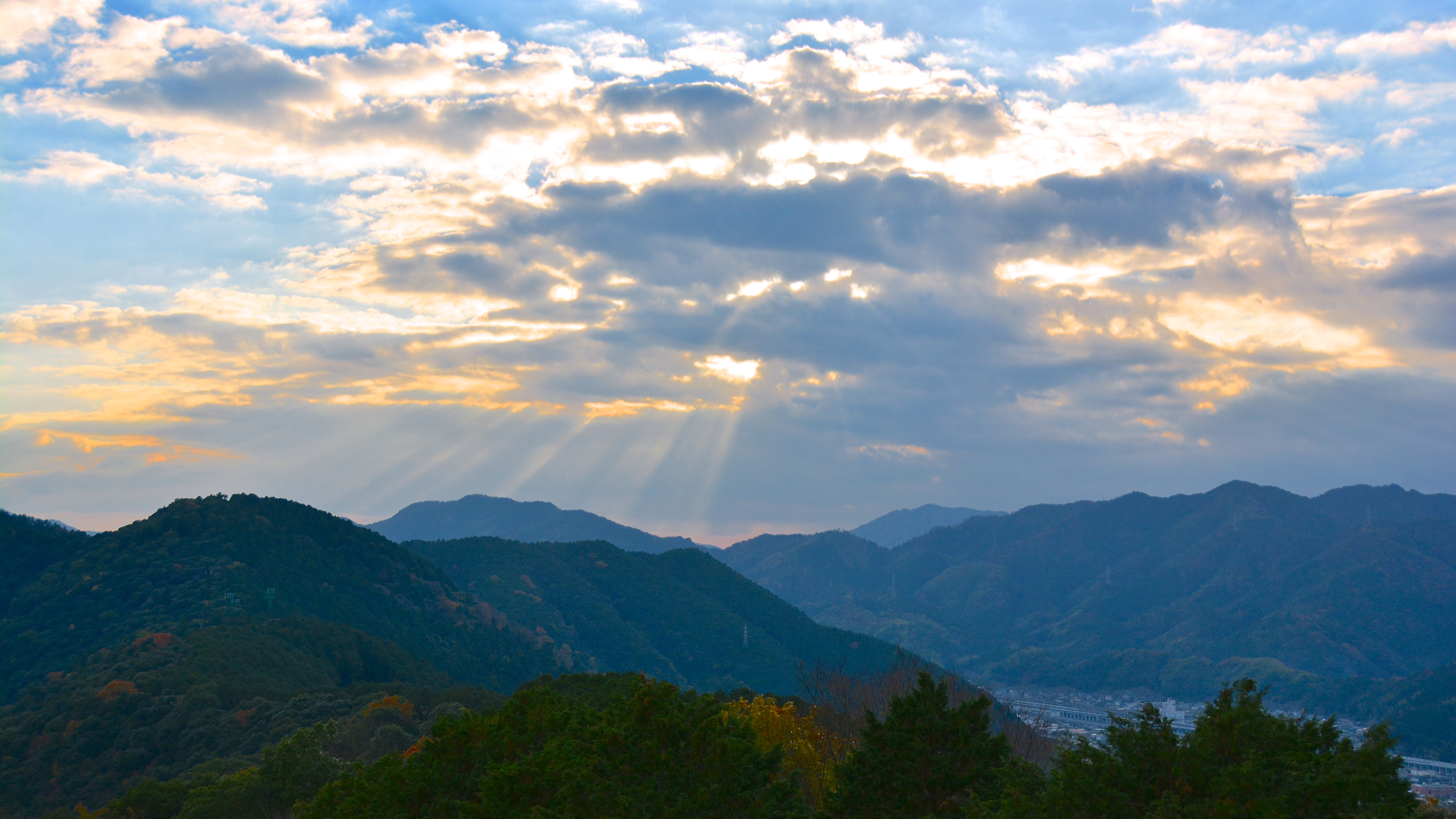
Light Beams Above Iwakuni
Sunrise.

Fall.
Dusk #kintaikyo #fireworkfestival #gethiroshima
Japan, Iwakuni
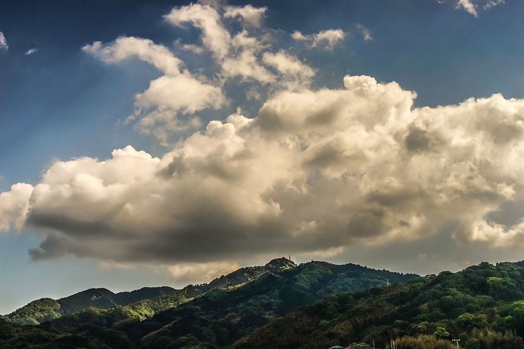
Sky and clouds.
Japan, Iwakuni

After the rain
Kintaikyo-錦帯橋
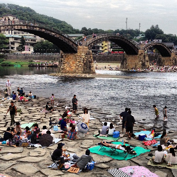
Famous humps of Kintaikyo bridge, Iwakuni
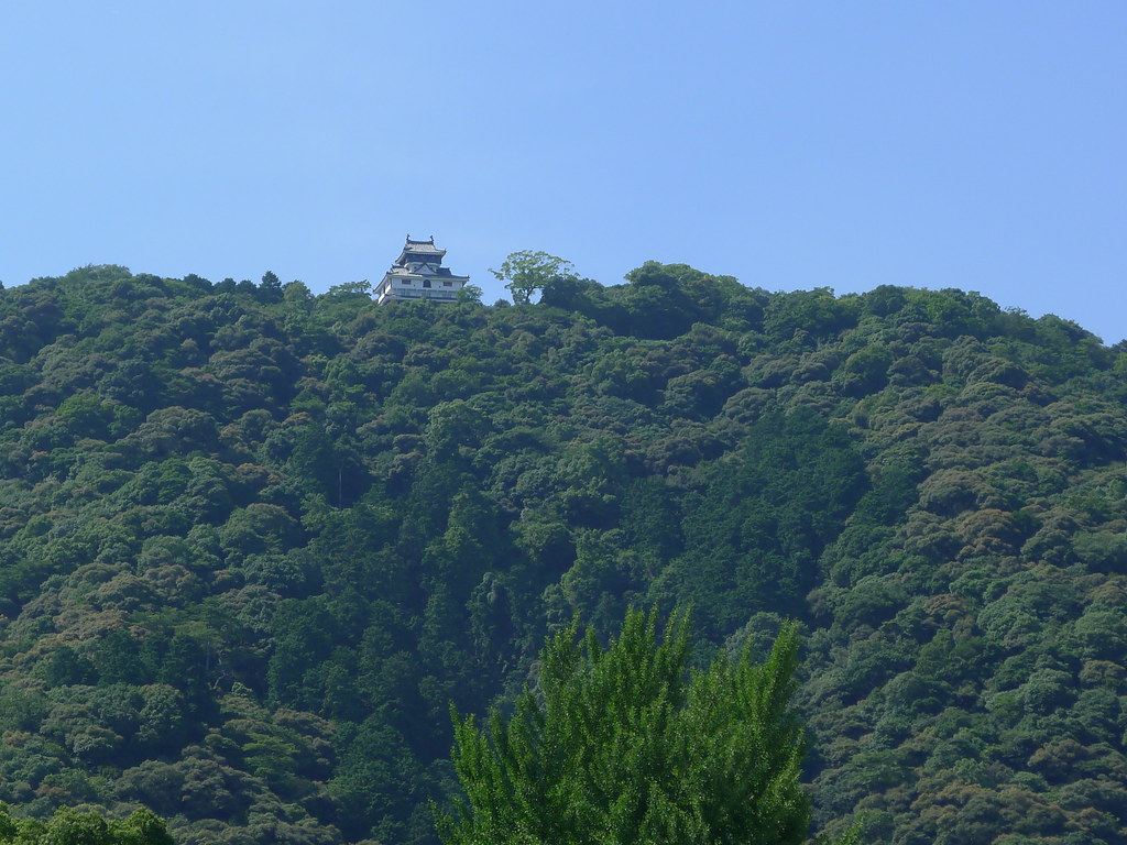
Iwakuni Castle (岩国城)
QX1 55-210 E
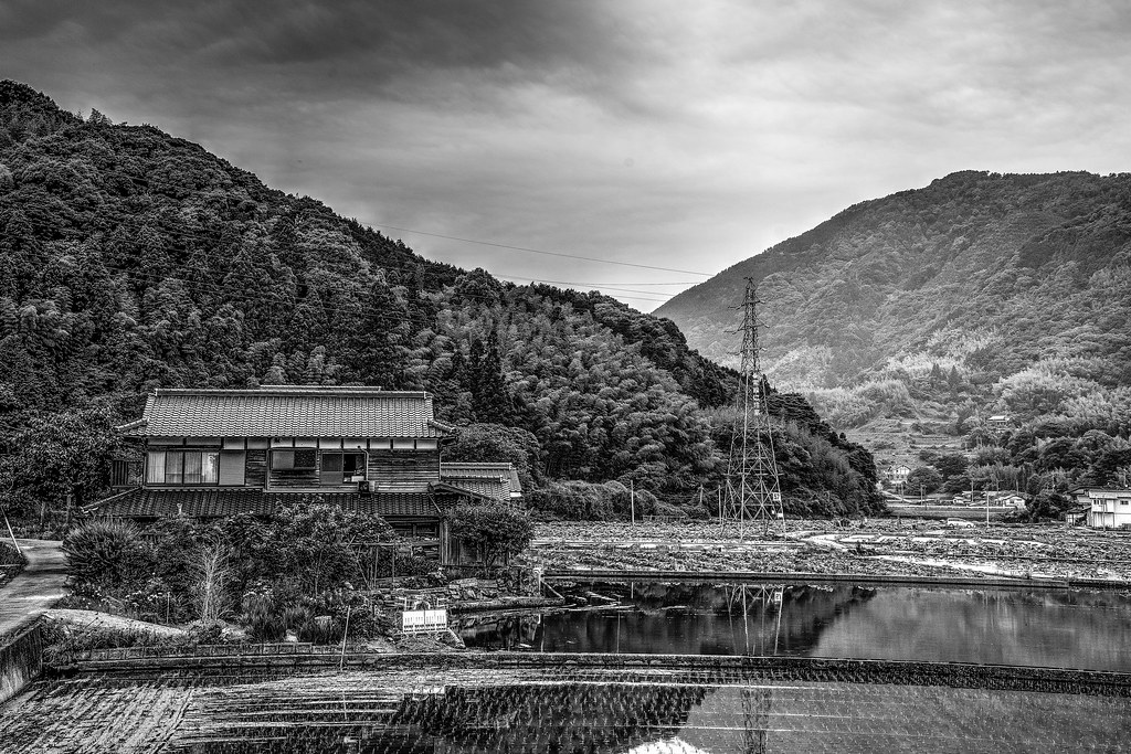
House.
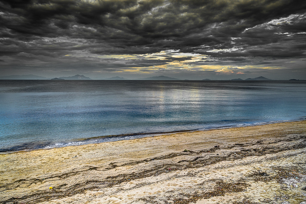
Rough sky. Calm sea.
Japan, Iwakuni

1120-151739-tommy
Topographic Map of Irino, Iwakuni-shi, Yamaguchi-ken -, Japan
Find elevation by address:

Places near Irino, Iwakuni-shi, Yamaguchi-ken -, Japan:
Ōyama, Iwakuni-shi, Yamaguchi-ken -, Japan
14 Habu, Iwakuni-shi, Yamaguchi-ken -, Japan
Hataki, Iwakuni-shi, Yamaguchi-ken -, Japan
Ifusa, Iwakuni-shi, Yamaguchi-ken -, Japan
Shimo, Iwakuni-shi, Yamaguchi-ken -, Japan
53 Kugamachi, Iwakuni-shi, Yamaguchi-ken -, Japan
Tennoo, Iwakuni-shi, Yamaguchi-ken -, Japan
Kugamachi, Iwakuni-shi, Yamaguchi-ken -, Japan
Yukaba, Iwakuni-shi, Yamaguchi-ken -, Japan
Tennoo, Iwakuni-shi, Yamaguchi-ken -, Japan
Iwakuni Castle
1 Chome-27-68 Hirata, Iwakuni-shi, Yamaguchi-ken -, Japan
Mikawamachi Naguwa, Iwakuni-shi, Yamaguchi-ken -, Japan
Mikawamachi Naguwa, Iwakuni-shi, Yamaguchi-ken -, Japan
Shūtōmachi Kamisudōri, Iwakuni-shi, Yamaguchi-ken -, Japan
Mikawamachi Naguwa, Iwakuni-shi, Yamaguchi-ken -, Japan
Mikawamachi Naguwa, Iwakuni-shi, Yamaguchi-ken -, Japan
Shūtōmachi Sanzegawa, Iwakuni-shi, Yamaguchi-ken -, Japan
58 Shūtōmachi Osogoe, Iwakuni-shi, Yamaguchi-ken -, Japan
Mikawamachi Nekasa, Iwakuni-shi, Yamaguchi-ken -, Japan
Recent Searches:
- Elevation of Woodland Oak Pl, Thousand Oaks, CA, USA
- Elevation of Brownsdale Rd, Renfrew, PA, USA
- Elevation of Corcoran Ln, Suffolk, VA, USA
- Elevation of Mamala II, Sariaya, Quezon, Philippines
- Elevation of Sarangdanda, Nepal
- Elevation of 7 Waterfall Way, Tomball, TX, USA
- Elevation of SW 57th Ave, Portland, OR, USA
- Elevation of Crocker Dr, Vacaville, CA, USA
- Elevation of Pu Ngaol Community Meeting Hall, HWHM+3X7, Krong Saen Monourom, Cambodia
- Elevation of Royal Ontario Museum, Queens Park, Toronto, ON M5S 2C6, Canada