Elevation of Iota Hwy, Iota, LA, USA
Location: United States > Louisiana > Acadia Parish > >
Longitude: -92.49909
Latitude: 30.290945
Elevation: 8m / 26feet
Barometric Pressure: 101KPa
Elevation Map:
Satellite Map:
Related Photos:

Up Front

Hammer365: 185/180 Waiting for Fish

Bug's Eye View

1first view of Louisiana - Copy

Crawfish ponds

Cypress Forest

Mermentau river

Cypress Forest
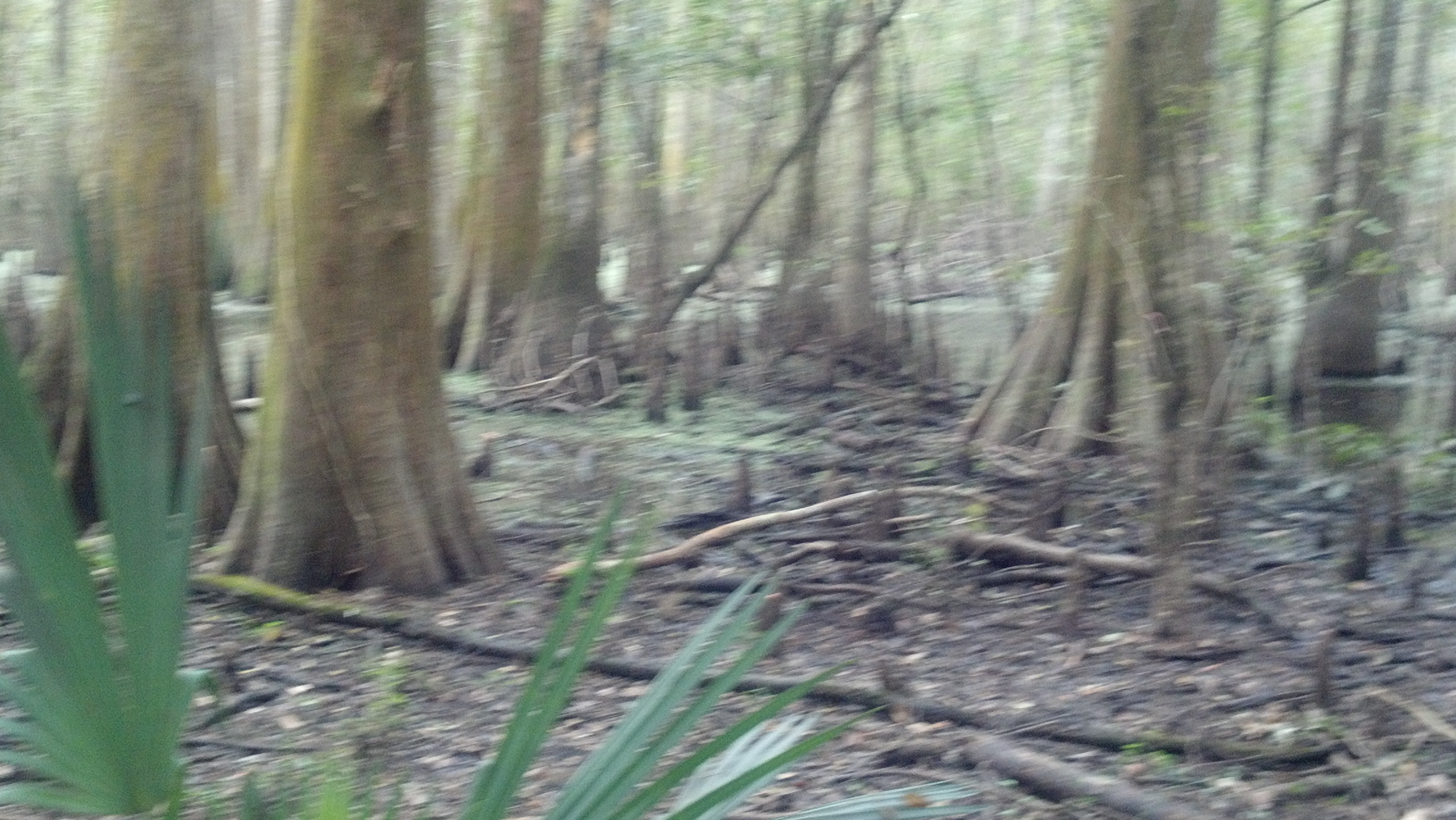
Cypress Forest
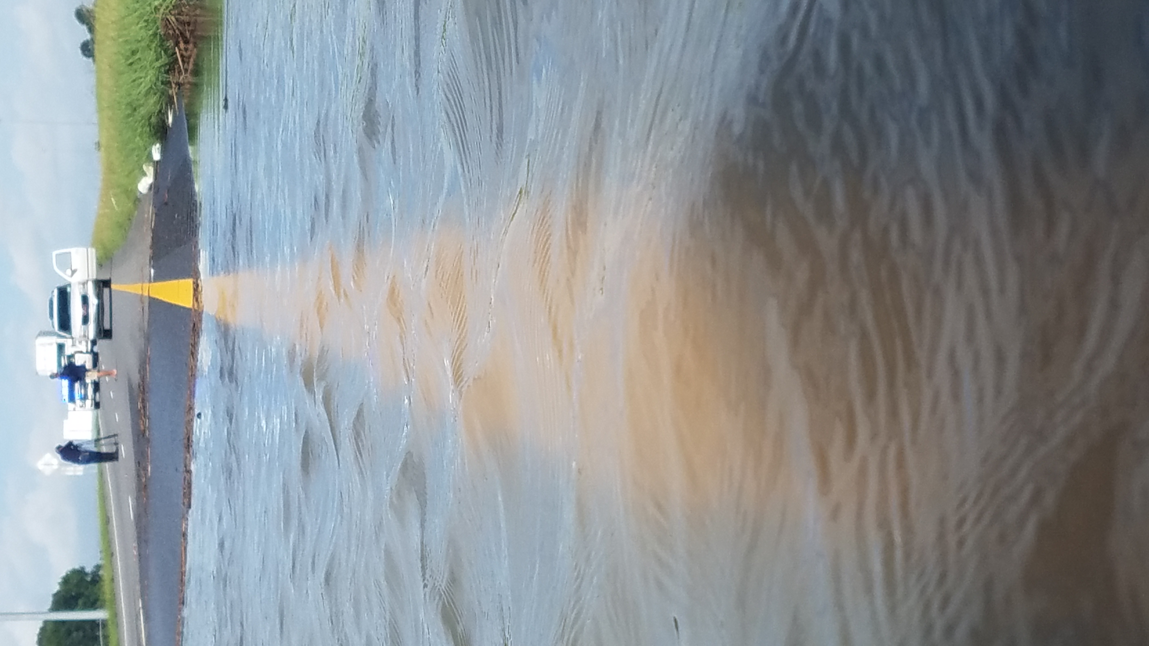
I-10 Flooding
Topographic Map of Iota Hwy, Iota, LA, USA
Find elevation by address:

Places near Iota Hwy, Iota, LA, USA:
217 Coyote Run Ln
213 Coyote Run Ln
Saint Paul Avenue
311 Howard St
Iota
228 N 2nd St
650 N 3rd St
Wolf Point Lane
125 Rigney Ln
Egan
Egan Hwy, Egan, LA, USA
131 Bluff Loop
1020 Gotts Cove Rd
1903 Old Evangeline Hwy
129 Abby Duson Rd
165 Abby Duson Rd
304 Meadow Ln
Gotts Cove Road
1751 St Jules Rd
Evangeline
Recent Searches:
- Elevation of Martins Mill Ct, Eagle Rock, NC, USA
- Elevation of Kippen, Stirling FK8, UK
- Elevation of Sieveringer Straße, Sieveringer Str., Wien, Austria
- Elevation of Bratskaya Ulitsa, 24, Kurgan, Kurganskaya oblast', Russia
- Elevation of Paradisvegen, Biri, Norway
- Elevation of Crystal Cir, Birmingham, AL, USA
- Elevation of N Railroad Ave, West Palm Beach, FL, USA
- Elevation of 55 Cassick Valley Rd, Wellfleet, MA, USA
- Elevation of Ironwood Dr, Minden, NV, USA
- Elevation of 高尾山口駅, Takaomachi, Hachioji, Tokyo -, Japan