Elevation of Inza, Cauca, Colombia
Location: Colombia > Cauca Department >
Longitude: -76.06517
Latitude: 2.55168
Elevation: 1806m / 5925feet
Barometric Pressure: 81KPa
Elevation Map:
Satellite Map:
Related Photos:
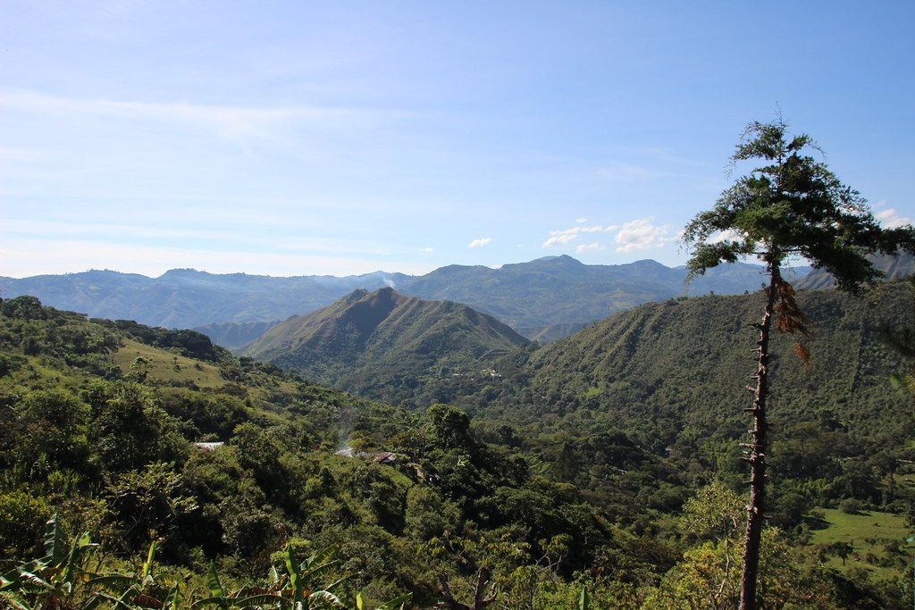
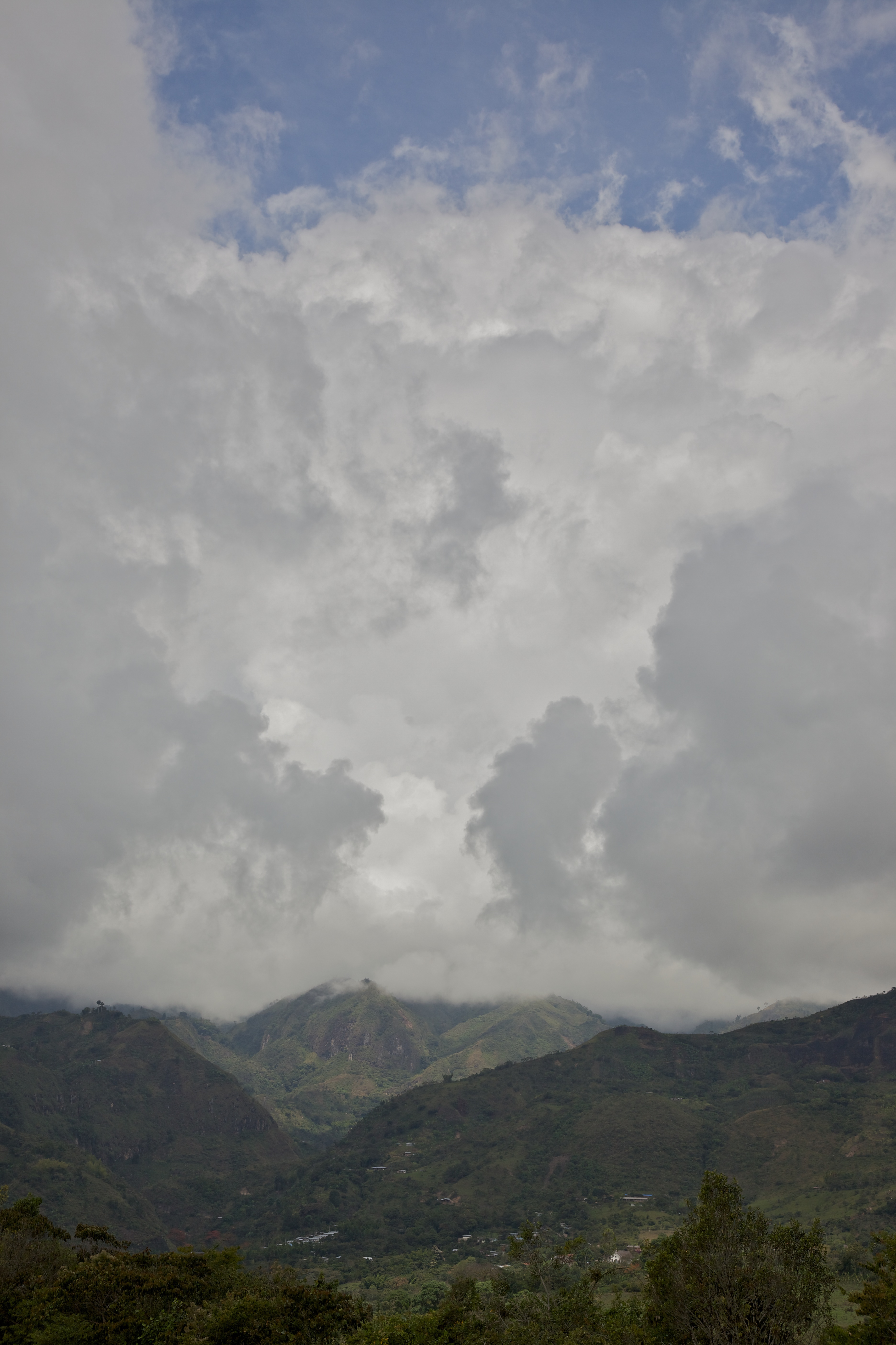
Kolumbianischer Wald
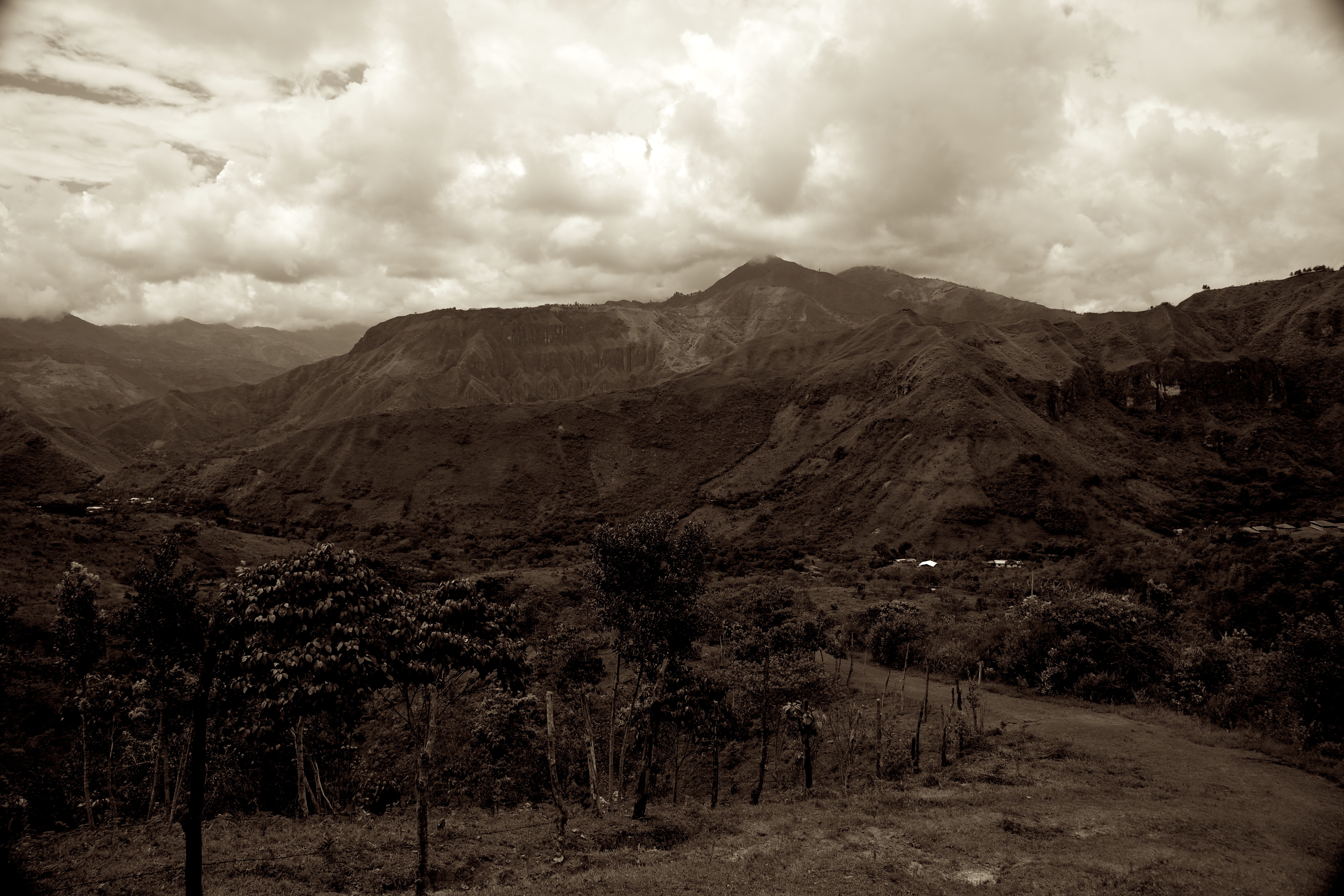
Tierradentro Valley 4
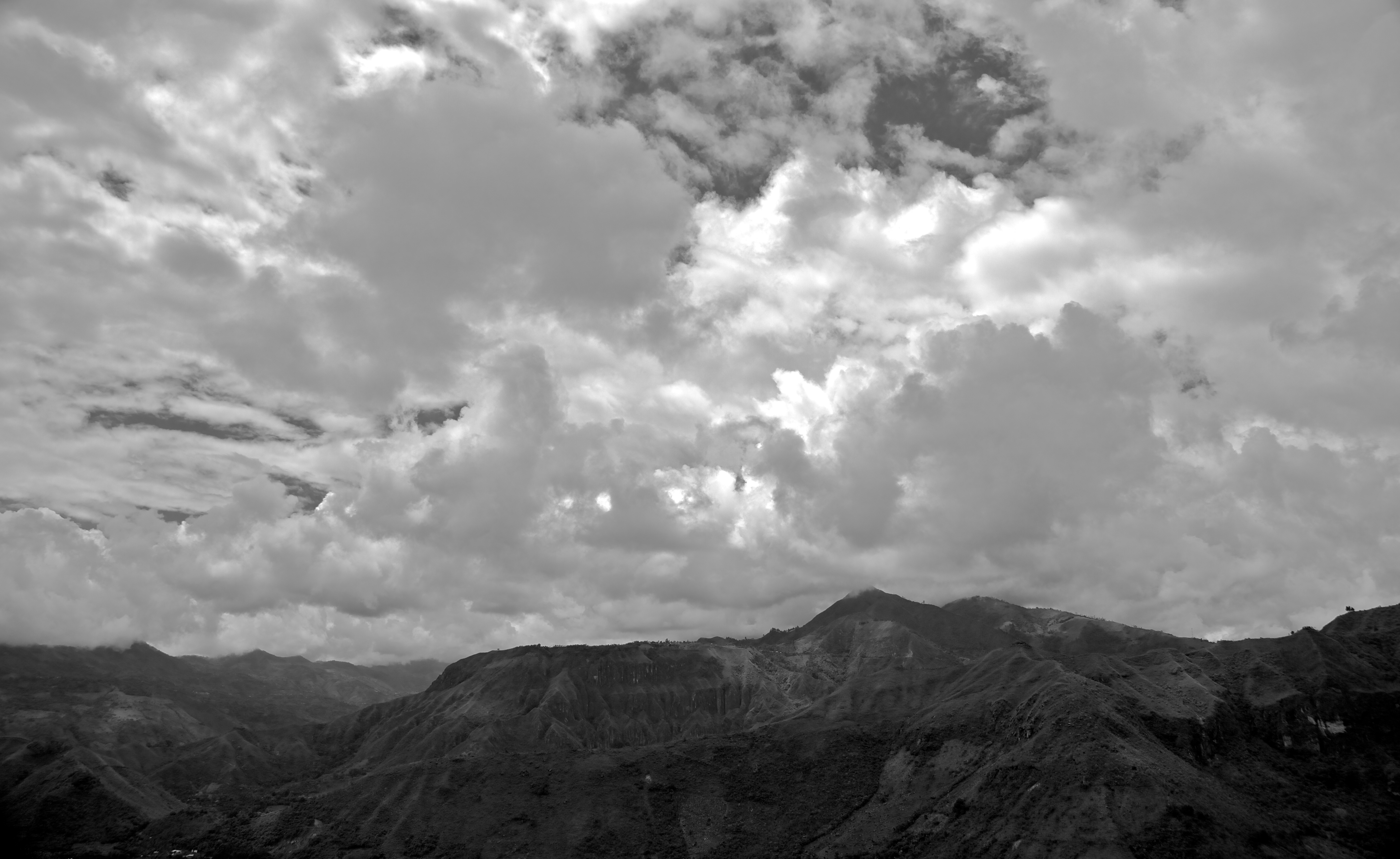
Tierradentro Valley 3
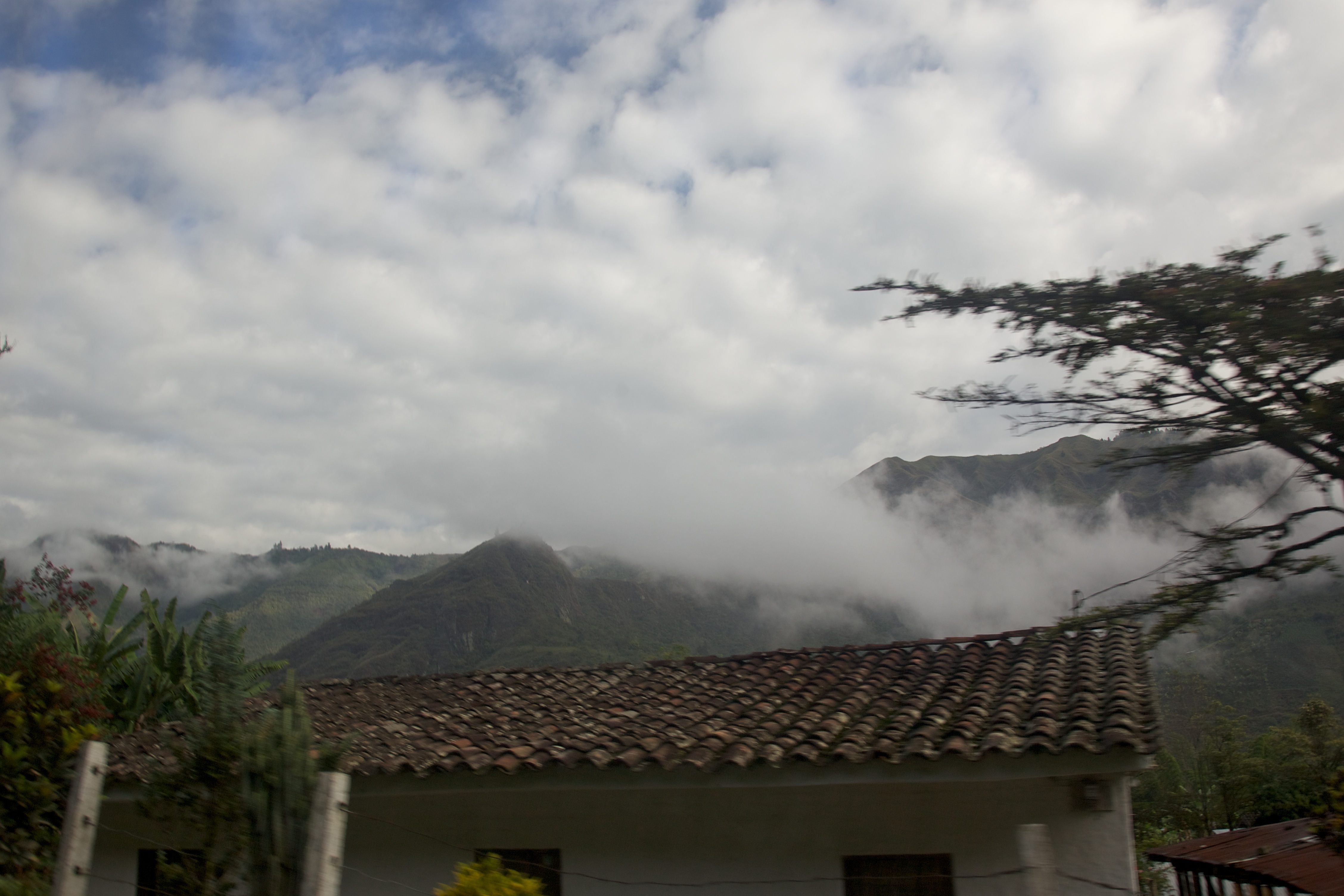
Tierradentro Valley 7
Tierradentro Valley 2
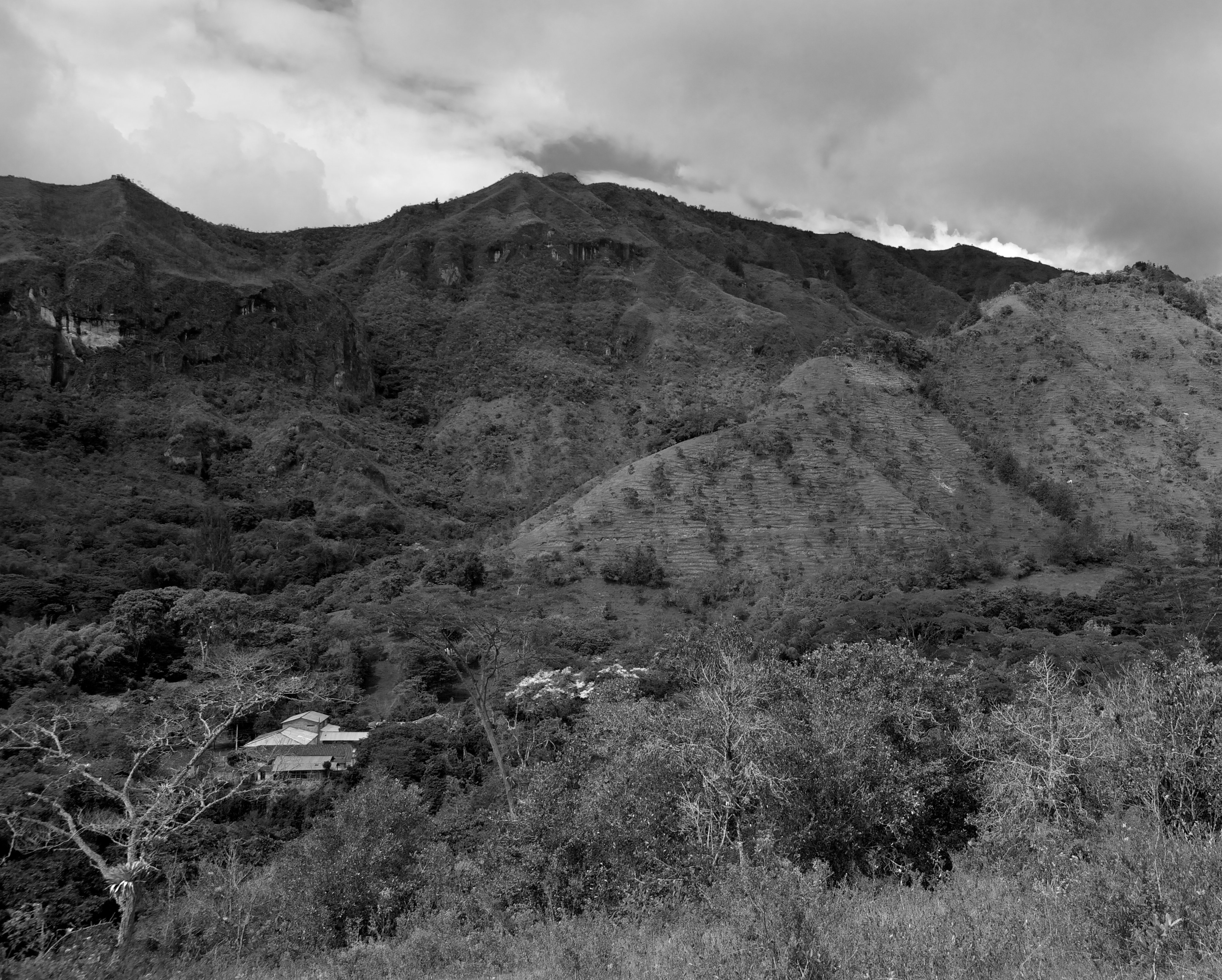
Tierradentro Valley 1
Tierradentyro Valley 3
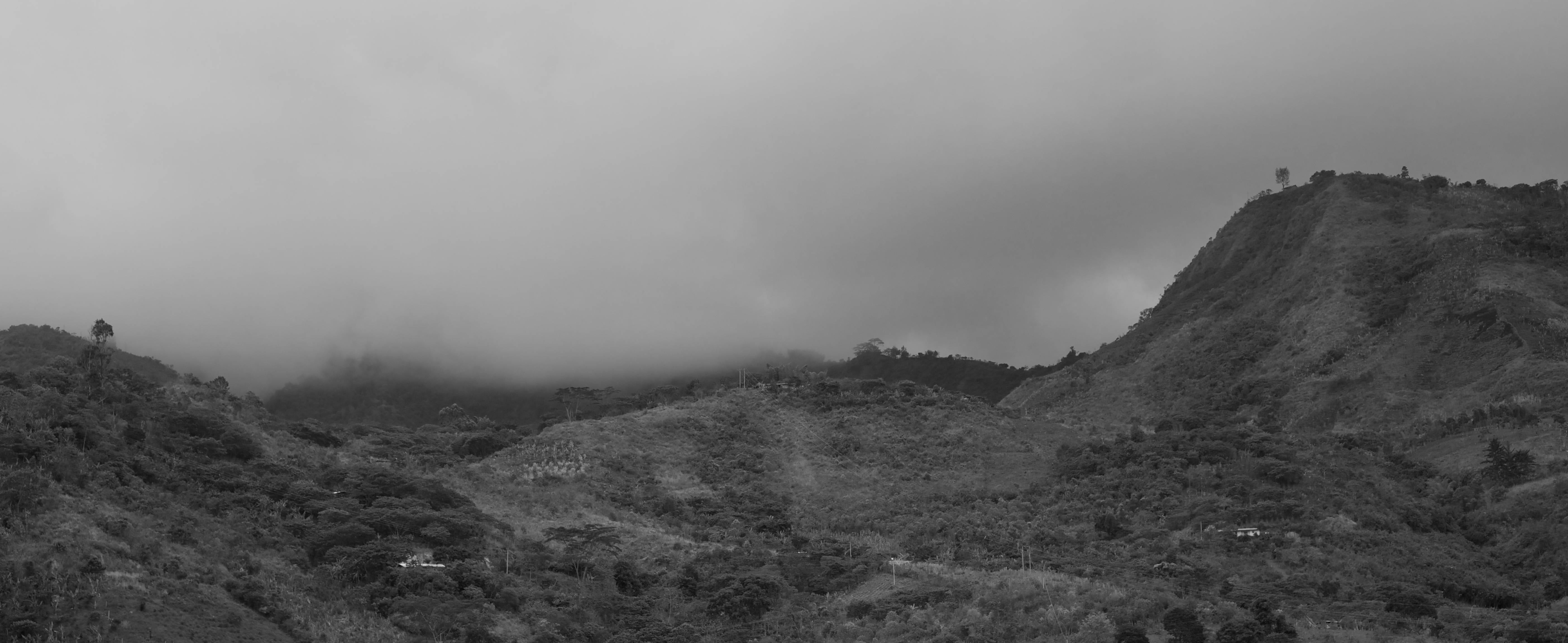
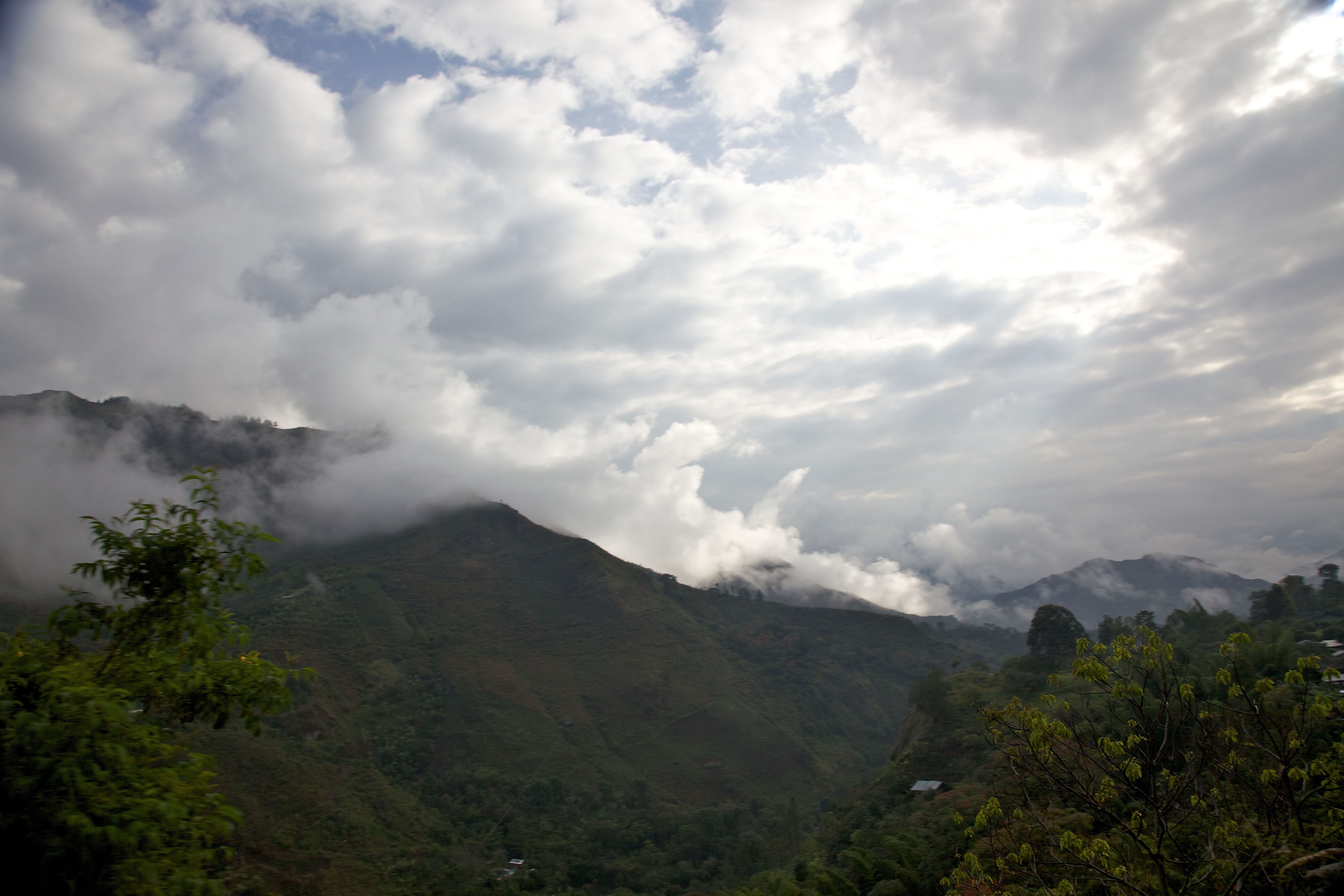
Tierradentro - Mountains
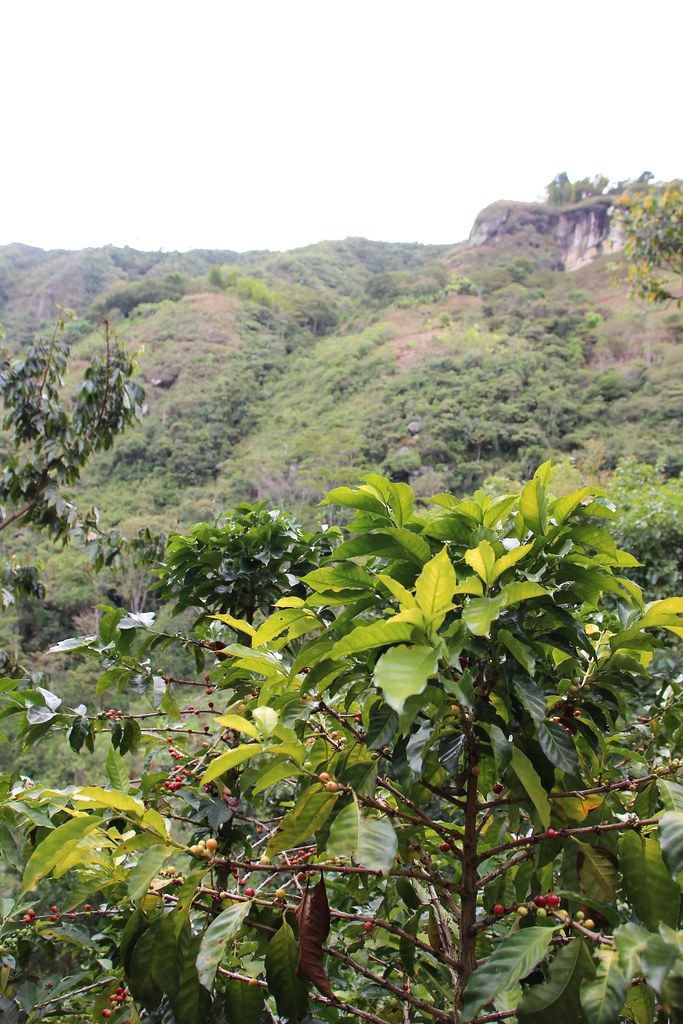
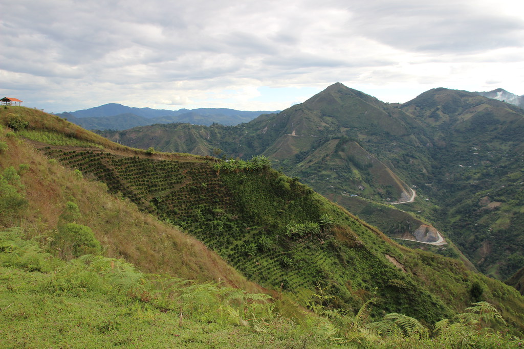
Coffee Plant
Tierradentro Valley 8
Topographic Map of Inza, Cauca, Colombia
Find elevation by address:

Places near Inza, Cauca, Colombia:
Parque Arqueológico Nacional De Tierradentro
Paez
Vereda Antonio Nariño
Pioya
Popayán
Popayán
20, Colombia
Cl. 5 #, San Agustín, Huila, Colombia
Cauca Department
Colombian Massif
Santa Rosa
La Cruz
La Cruz
San Lorenzo
Recent Searches:
- Elevation of Unnamed Road, Respublika Severnaya Osetiya — Alaniya, Russia
- Elevation of Verkhny Fiagdon, North Ossetia–Alania Republic, Russia
- Elevation of F. Viola Hiway, San Rafael, Bulacan, Philippines
- Elevation of Herbage Dr, Gulfport, MS, USA
- Elevation of Lilac Cir, Haldimand, ON N3W 2G9, Canada
- Elevation of Harrod Branch Road, Harrod Branch Rd, Kentucky, USA
- Elevation of Wyndham Grand Barbados Sam Lords Castle All Inclusive Resort, End of Belair Road, Long Bay, Bridgetown Barbados
- Elevation of Iga Trl, Maggie Valley, NC, USA
- Elevation of N Co Rd 31D, Loveland, CO, USA
- Elevation of Lindever Ln, Palmetto, FL, USA