Elevation of Inverness, NS, Canada
Location: Canada > Nova Scotia > Inverness County > Inverness, Subd. B >
Longitude: -61.304382
Latitude: 46.2308276
Elevation: 38m / 125feet
Barometric Pressure: 101KPa
Elevation Map:
Satellite Map:
Related Photos:
6300_01_RB
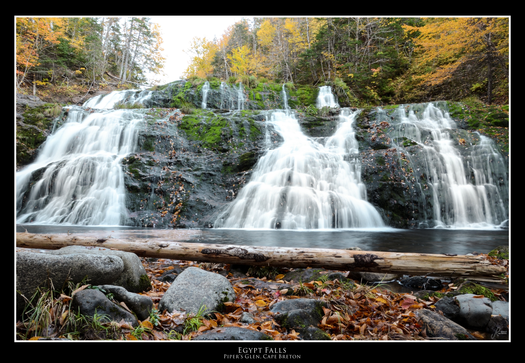
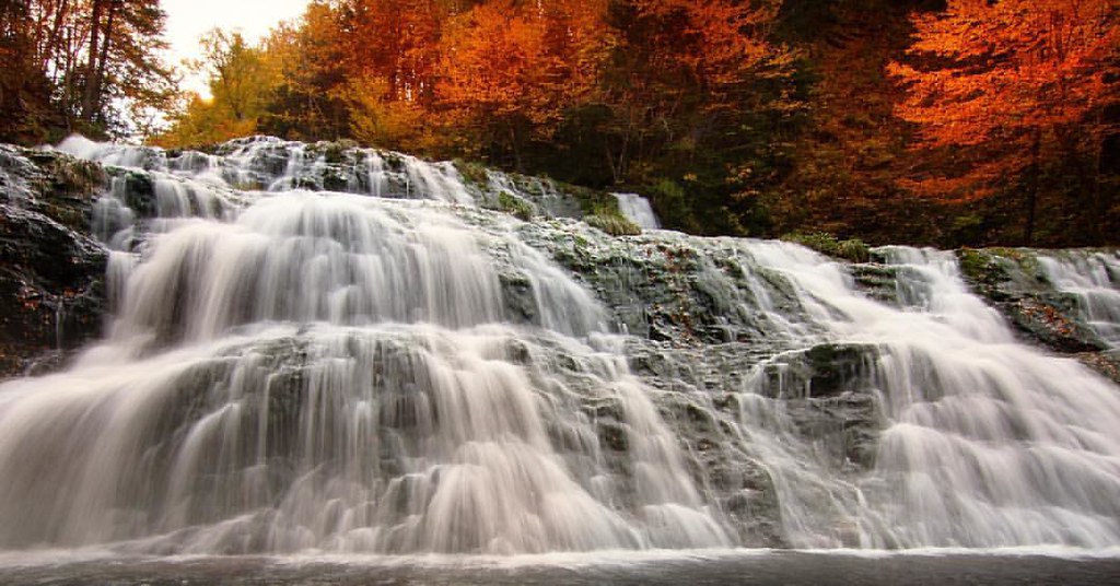
Egypt Falls - Piper's Glen

Egypt Falls - Piper Glen
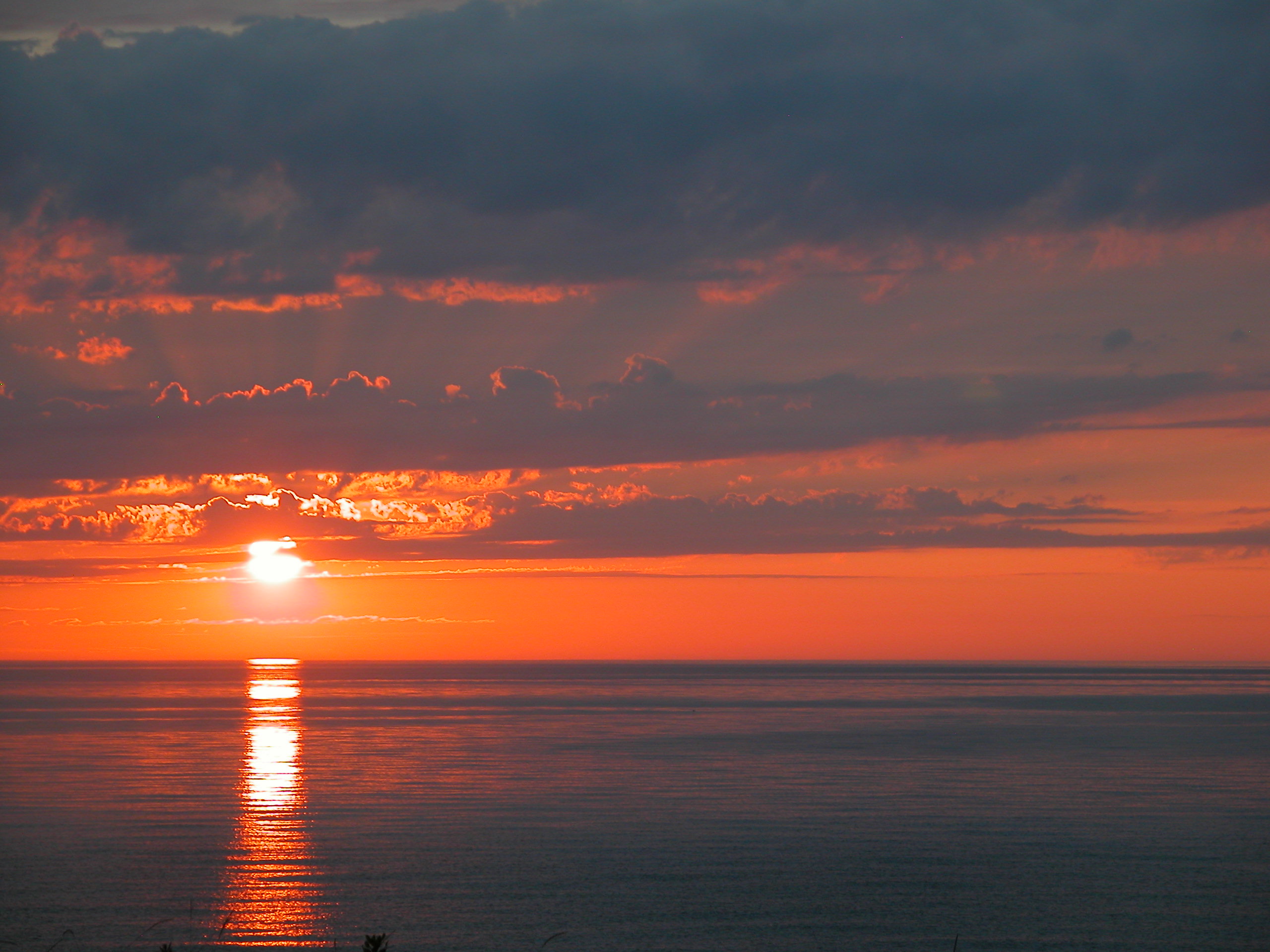
Cape Breton Sunset
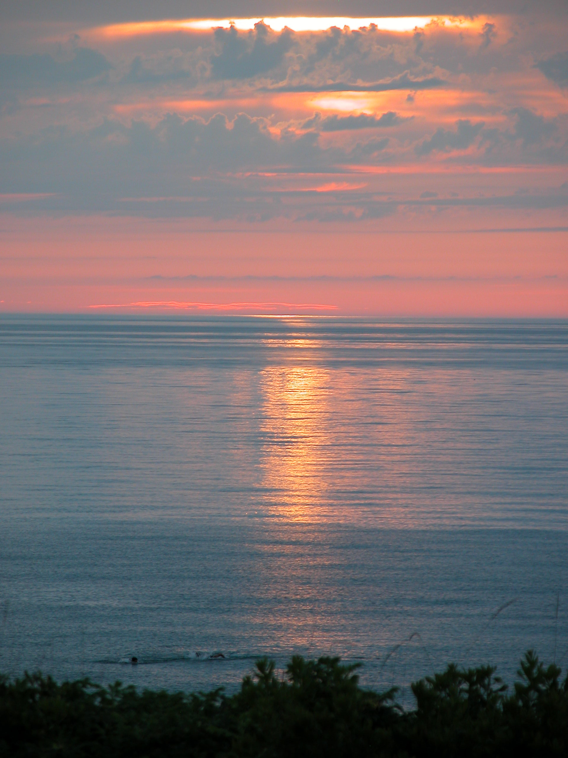
Cape Breton Sunset
Happy Canuckian Thanksgiving !! I've got health,great family and friends and the world at my fingertips. All my problems are of the 'champagne' variety. I am blessed so ..... Thanks! #thanks #thanksgiving #canada #NovaScotia #explorecanada ,it's #beaut
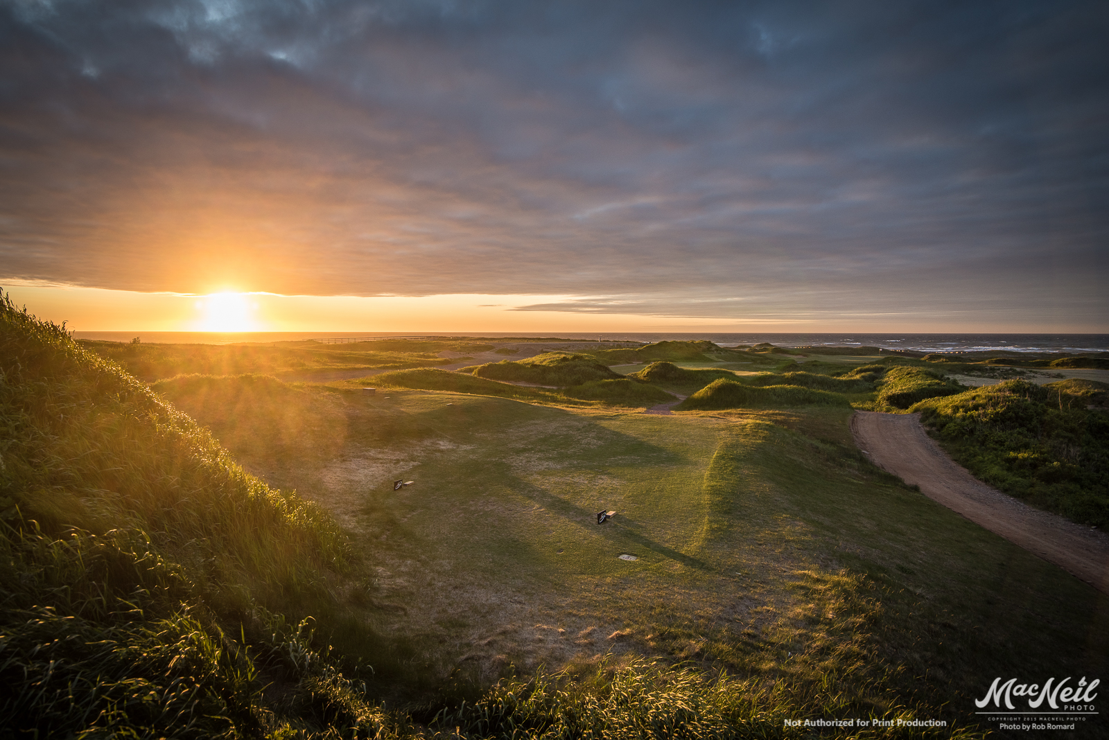
cabot-2-sunset

Rain Clouds Building
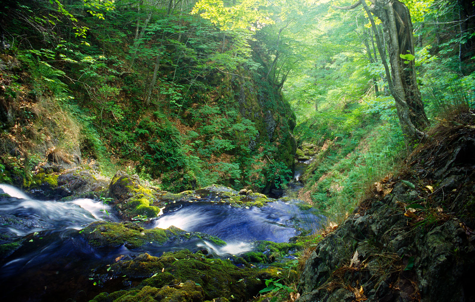
Glenora Falls, Inverness County NS - Aug 1994

Inverness NS - Beach, Late Afternoon - September 1978
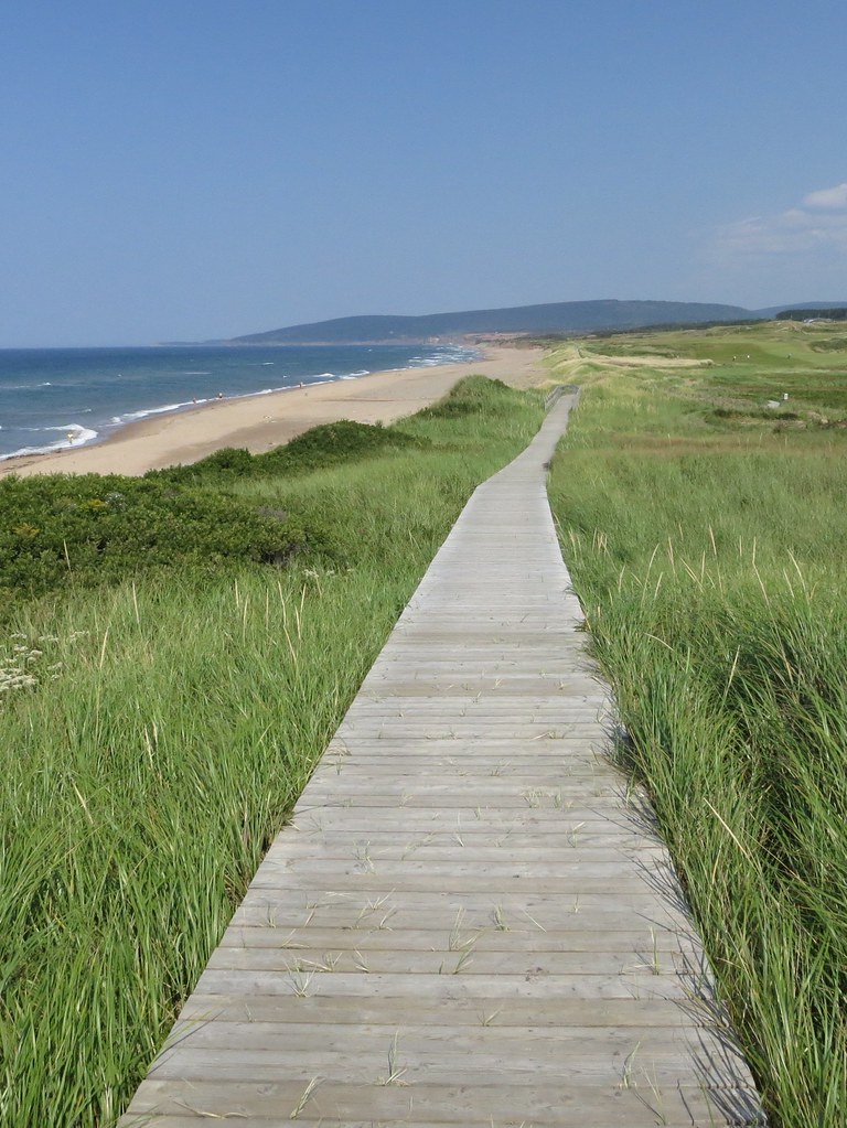
Inverness Beach, Cape Breton
Inverness, NS
Lake Ainslie
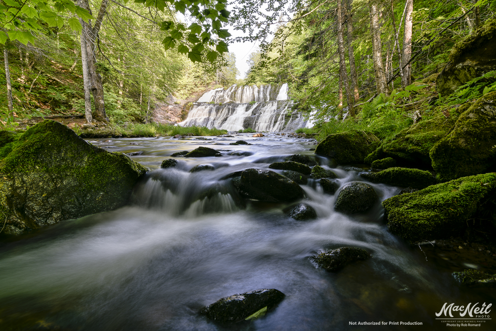
evening walk at Piper's Glen - Egypt Falls
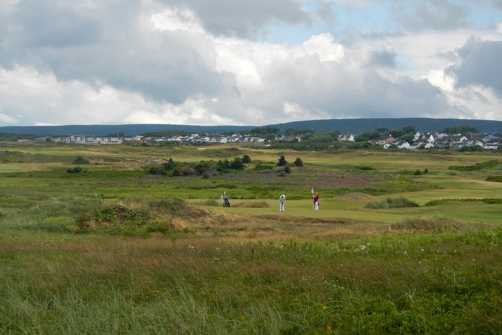
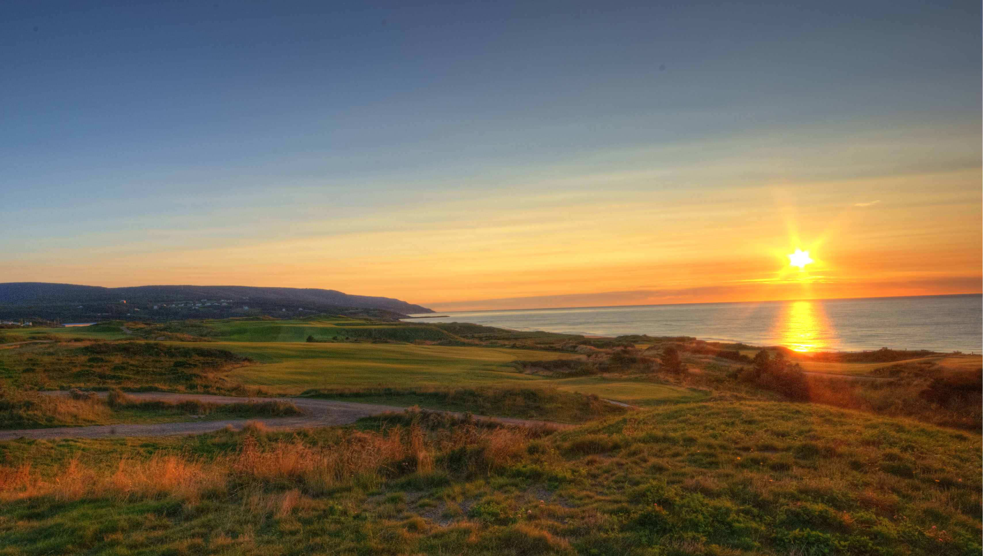
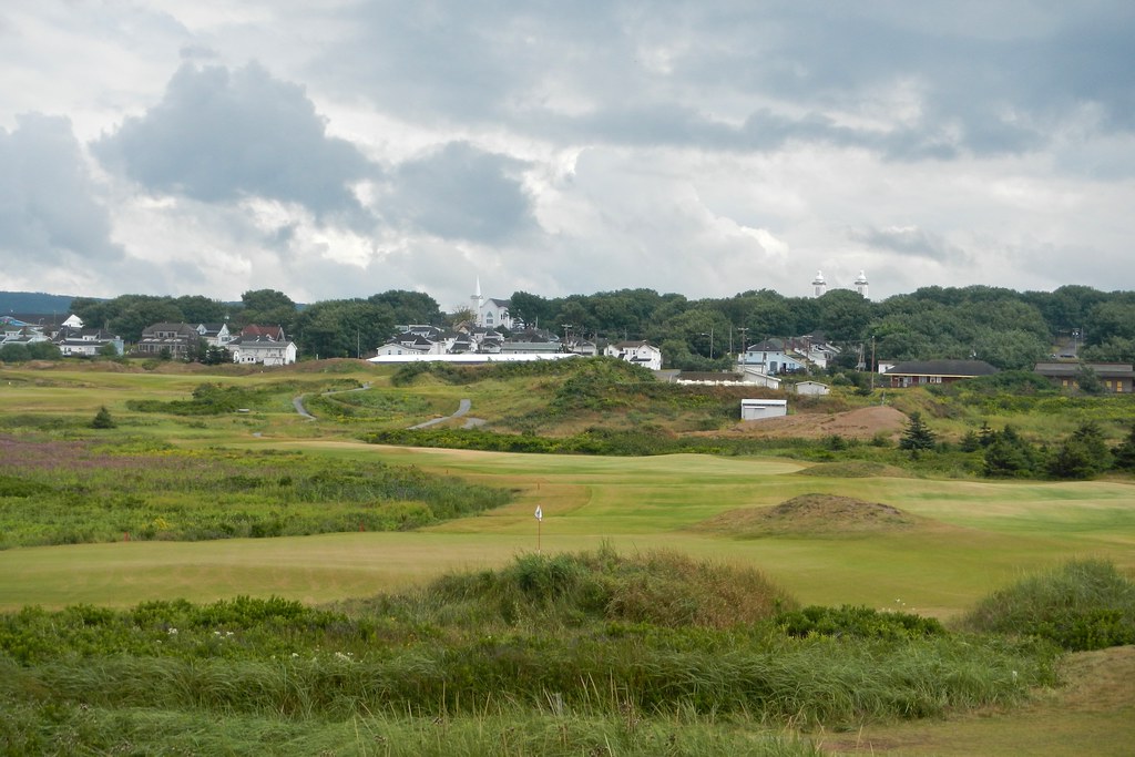
Cabot Links
CTD101-7389_IMG
The Pro Tees - Cabot Links Hole no. 7
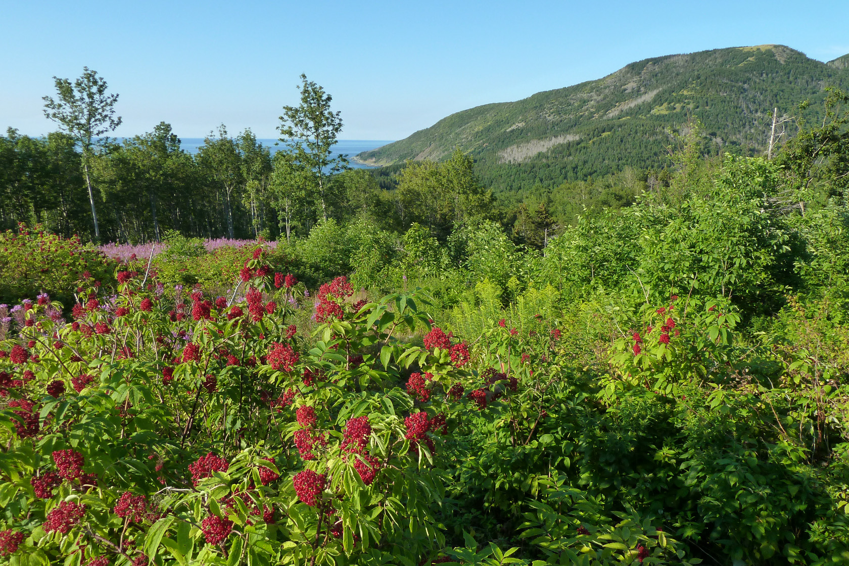
Mabou Hills
Topographic Map of Inverness, NS, Canada
Find elevation by address:

Places in Inverness, NS, Canada:
Ceilidh Trail, Inverness, NS B0E 1N0, Canada
Nova Scotia Trunk 19, Inverness, NS B0E 1N0, Canada
30 Broad Cove Marsh Rd, Inverness, NS B0E 1N0, Canada
Broad Cove Banks Rd, Inverness, NS B0E 1N0, Canada
Strathlorne Scotsville Rd, Inverness, NS B0E 1N0, Canada
Shore Rd, Inverness, NS B0E 1N0, Canada
Places near Inverness, NS, Canada:
72 Forest St
Mann Avenue
Cameron Drive
Nova Scotia Trunk 19, Inverness, NS B0E 1N0, Canada
30 Broad Cove Marsh Rd, Inverness, NS B0E 1N0, Canada
Strathlorne Scotsville Rd, Inverness, NS B0E 1N0, Canada
Campbellton Road
Ceilidh Trail, Inverness, NS B0E 1N0, Canada
Broad Cove Banks Rd, Inverness, NS B0E 1N0, Canada
60 Shore Rd, South West Margaree, NS B0E 3H0, Canada
Kauzmann Trail
Shore Rd, Inverness, NS B0E 1N0, Canada
Sight Point
Strathlorne Scotsville Rd, Scotsville, NS B0E 3E0, Canada
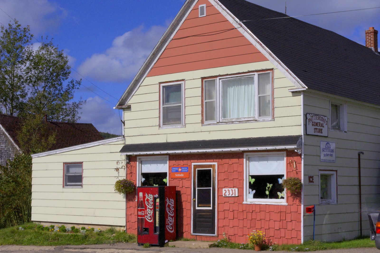
Scotsville
B0e 1x0
Lake Ainslie
South West Margaree
NS-, Scotsville, NS B0E 3E0, Canada
Rankinville Rd, Mabou, NS B0E 1X0, Canada
Recent Searches:
- Elevation of Corso Fratelli Cairoli, 35, Macerata MC, Italy
- Elevation of Tallevast Rd, Sarasota, FL, USA
- Elevation of 4th St E, Sonoma, CA, USA
- Elevation of Black Hollow Rd, Pennsdale, PA, USA
- Elevation of Oakland Ave, Williamsport, PA, USA
- Elevation of Pedrógão Grande, Portugal
- Elevation of Klee Dr, Martinsburg, WV, USA
- Elevation of Via Roma, Pieranica CR, Italy
- Elevation of Tavkvetili Mountain, Georgia
- Elevation of Hartfords Bluff Cir, Mt Pleasant, SC, USA